 Outdoor Pitstop
Walking route · Overbetuwe · Updated on 14 November 2026
Klompenpad Eldensche Veldpad walk
Klompenpad Eldensche Veldpad is a walk of 17.5 km from Overbetuwe. Along the way you'll find 35 benches.
i
i
i
The route step by step
From start to finish, with what you pass along the way and the distance in between.
- 17.5 km
- ± 3:55 h
- ↑ 17 m · ↓ 16 m
- Moderate
- From A to B
- Local route
This route is in pieces in OpenStreetMap, so there are no kilometres per pitstop. Along the way you'll find 35 benches.
Follow these steps in the appNo public toilet along the wayThere is no public toilet within 100 m of the route. Go before you start, or find one a bit further away in the app.
The route with the pitstops and sights within 100 m of it.
3 sights along the way
In the order you pass them. With the Outdoor Pitstop app you hear their story on the spot.
 Audio story · 2 min
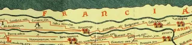
Castellum Meinerswijk
Archaeological site
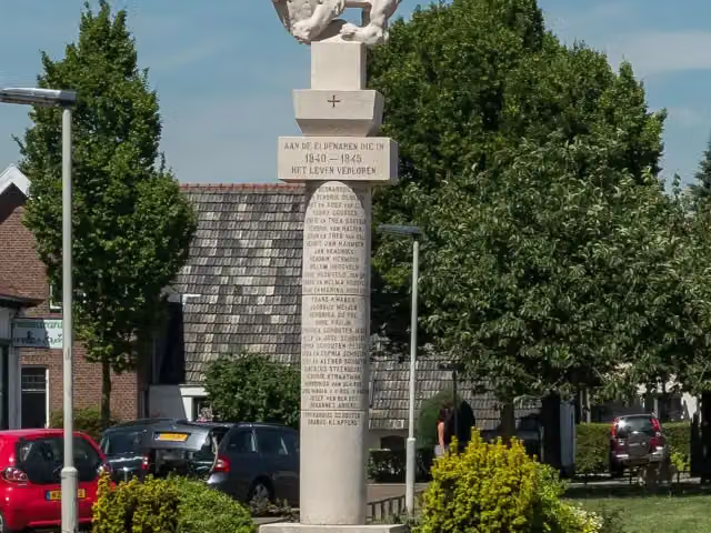
Gedenkteken 1940-1945
Memorial

Memorial
Elevation and terrain
- Up
- ↑ 17 m
- Down
- ↓ 16 m
- Highest point
- 16 m
- Lowest point
- 8 m
- 5 stairs
Elevation from AHN (Rijkswaterstaat), smoothed.
Way types
17.5 km in total- Path: 8.6 km
- Road: 4.3 km
- Cycleway: 1.8 km
- Footpath: 1.6 km
- Street: 746 m
- Track: 200 m
- Stairs: 5 stairs
Surfaces
17.5 km in total- Asphalt: 6.5 km
- Natural: 5.6 km
- Unpaved: 1.2 km
- Paved: 1 km
- Gravel: 125 m
- Unknown: 2.9 km
About the walking route Klompenpad Eldensche Veldpad
Updated on 14 November 2026, with data from OpenStreetMap, the AHN and Copernicus.
Where do you walk?
Klompenpad Eldensche Veldpad is a walking route of 17.5 km that starts in Overbetuwe. It does not end where it starts.
How hard is the route?
The route is almost flat. You climb 17 m in total and descend 16 m. There are 5 flights of steps along the way. Allow ± 3:55 h, without breaks. The level is moderate.
What paths do you walk on?
The longest part is path (8.6 km), road (4.3 km) and cycleway (1.8 km). Of the surface, 6.5 km asphalt and 5.6 km natural. For 2.9 km the surface is not known.
Pitstops along the way
Within 100 metres of the route there are 35 benches. There is no public toilet within 100 metres of the route. The Outdoor Pitstop app navigates you there.
Eldensche Veldpad: a local 18 km walking route
Klompenpad Eldensche Veldpad is a local walking route of 18 km. This page covers everything you need to know about the walk, so you know what to expect along the way. In total you climb 17 m and descend 16 m, so the height difference along the route is small. The map shows the full route, and the elevation profile shows how the route runs. The pitstops are marked too: the public toilets, drinking water and benches along the way. That makes it easy to plan your walk in advance.
Surface and types of path along the way
The route is 18 km long, and almost half of it, 45%, runs over asphalt. For the rest, you walk 39% over natural ground, 8% over unpaved terrain and 7% over paved ground. So you get a mix of hard and softer stretches. Walking shoes with a sturdy sole are useful for the asphalt and the paths. The types of path also alternate. Just under half of the 18 km, 49%, is a path. You also walk 25% along an ordinary road, 10% on a cycle path and 9% on a footpath. Traffic may pass you on the roads and cycle paths, so keep an eye out. Because the height difference is small, you walk the whole stretch without any steep sections.
Along the way: pitstops and points of interest
Along the route there are 35 benches, so you can often stop for a moment to rest. You will also pass a few special places. Near Castellum Meinerswijk you walk past an archaeological site. You also pass the Gedenkteken 1940-1945 and the Exodus Monument, both of which are memorials. At each of these places you can make a short stop to look around.
Walks nearby
6- Airbornepad Market Garden - 30Moderate · From A to B9.5 km
- NederrijnsepadHard · Circular walk27.6 km
- Airbornepad Market Garden - 30AModerate · From A to B11.8 km
- Stad en landEasy · Circular walk4.3 km
- NS-wandeling Hemelse BergModerate · From A to B15.1 km
- Maarten van Rossumpad - 10Moderate · From A to B14.2 km
Sights nearby
Within 10 km of the route, best known first.
- 1
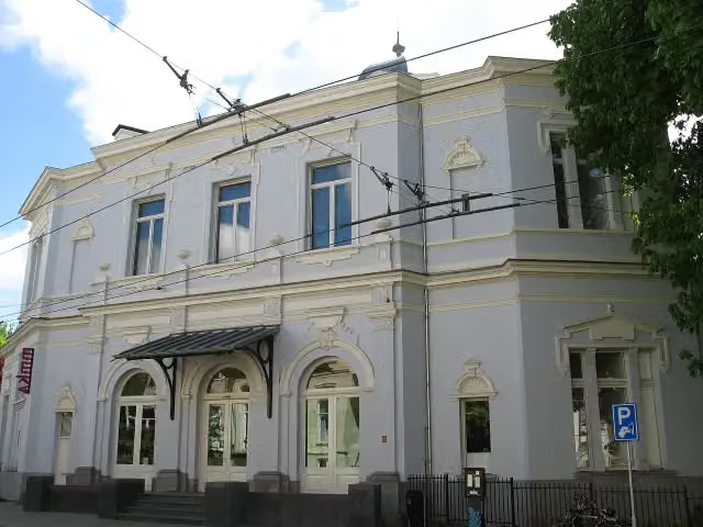 Museum ArnhemMuseum · 710 m from the route
- 2
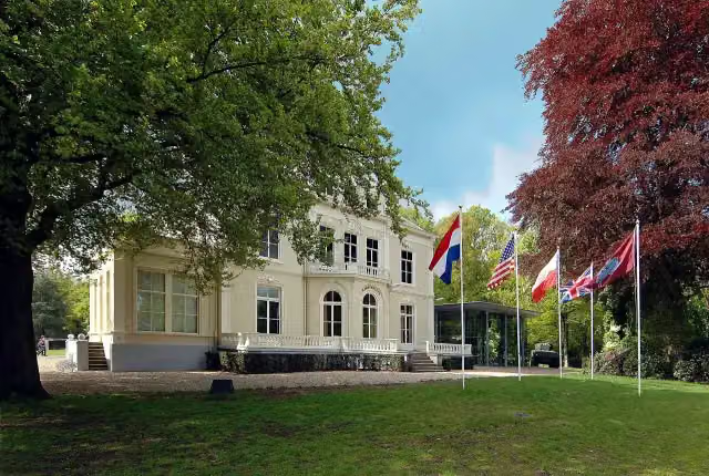 Airborne Museum 'Hartenstein'Museum · 1.7 km from the route
- 3
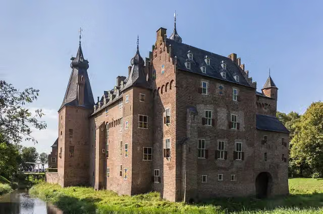 Kasteel DoorwerthCastle · 2.6 km from the route
- 4
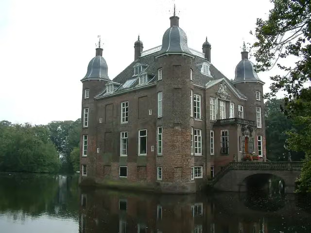 Kasteel BiljoenCastle · 6.7 km from the route
- 5
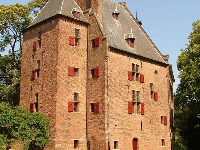 De KinkelenburgCastle · 7.7 km from the route
- 6
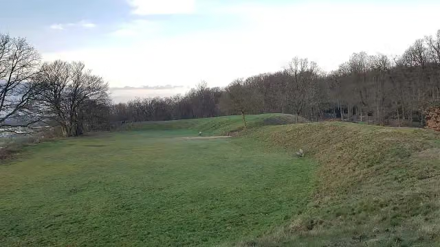 HunneschansArchaeological site · 916 m from the route
- 7
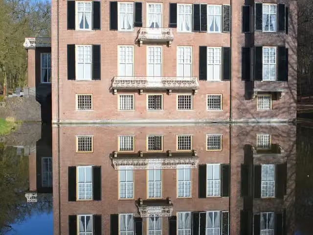 Huis ZypendaalCastle · 2.2 km from the route
- 8
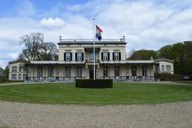 Koninklijk Tehuis voor Oud-Militairen en Museum BronbeekMuseum · 3.9 km from the route
- 9
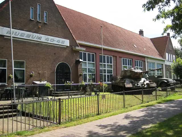 Arnhem War Museum 40 - 45Museum · 5.4 km from the route
- 10
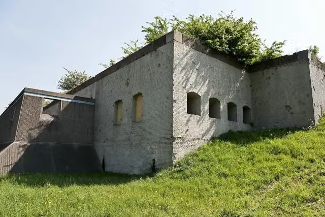 Fort WestervoortFort · 3.7 km from the route
- 11
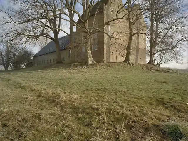 Huis LoowaardCastle · 8.3 km from the route
- 12
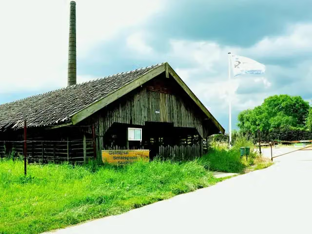 Gelders SmalspoormuseumMuseum · 6.5 km from the route
- 13
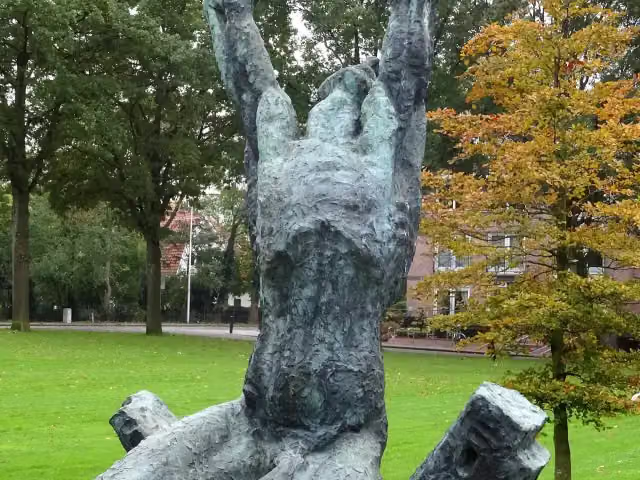 Waarom ik?Memorial · 7.7 km from the route
- 14
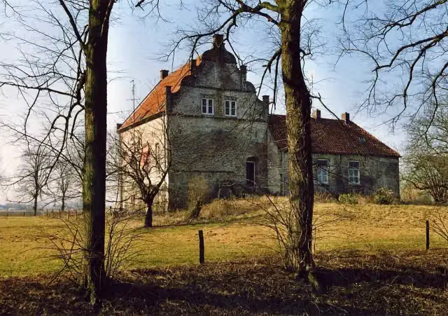 Huis te LathumCastle · 8.3 km from the route
- 15
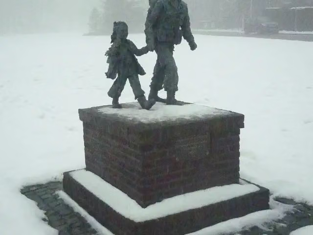 Soldaat met bloemenmeisjeMemorial · 1.8 km from the route
- 16
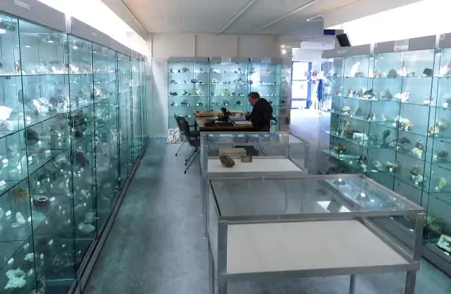 Gelders Geologisch MuseumMuseum · 5.4 km from the route
- 17
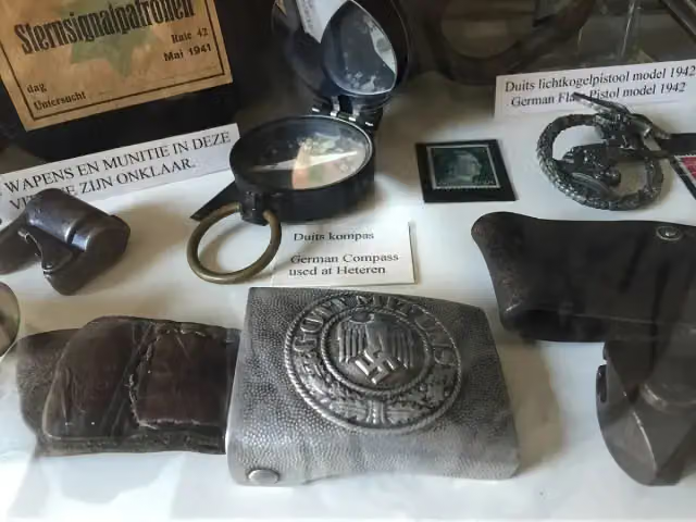 The IslandMuseum · 5.1 km from the route
- 18
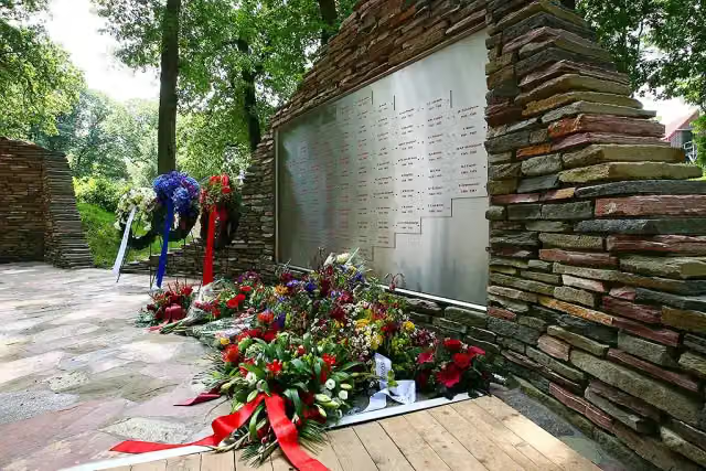 Nationaal BrandweermonumentMonument · 5.6 km from the route
- 19
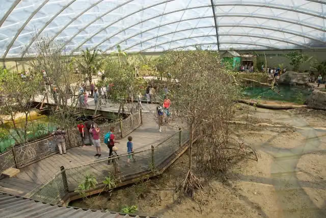 MangroveAttraction · 3.2 km from the route
- 20
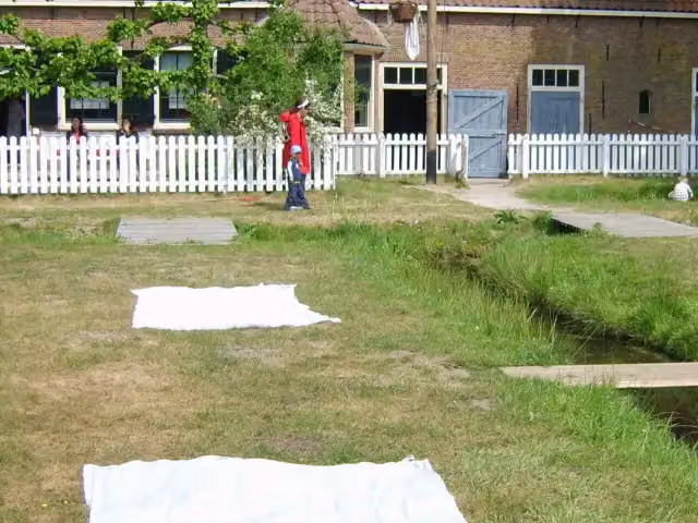 WasserijAttraction · 3.7 km from the route
- 21
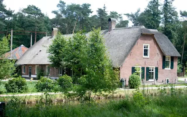 WoonboerderijAttraction · 3.7 km from the route
- 22
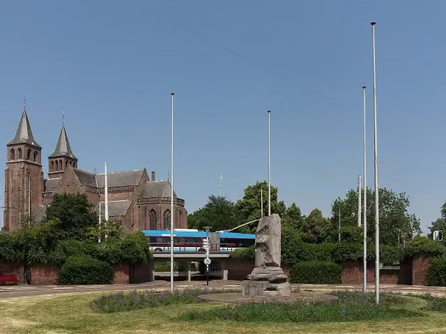 Airborne monumentMemorial · 979 m from the route
- 23
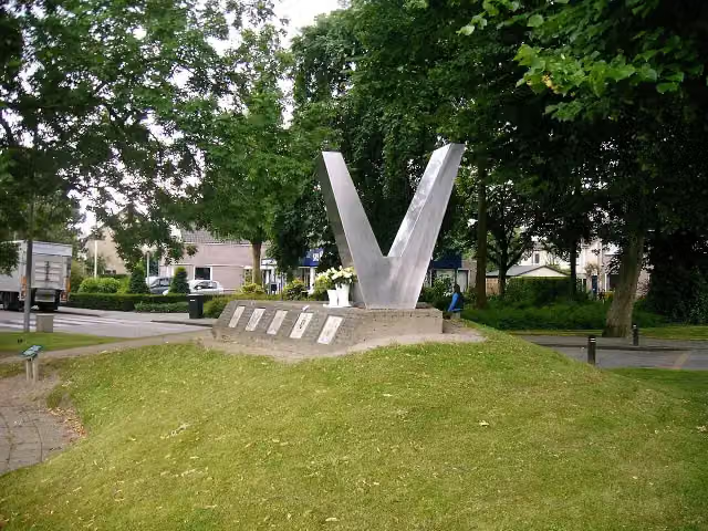 Bevrijdingsmonument ZettenMemorial · 9 km from the route
- 24
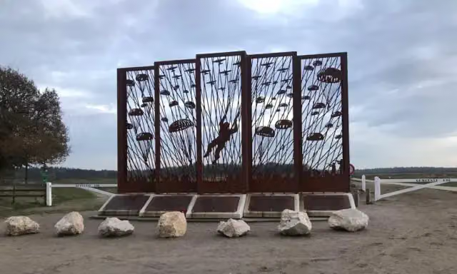 Vensters op het verledenMemorial · 9.6 km from the route
- 25
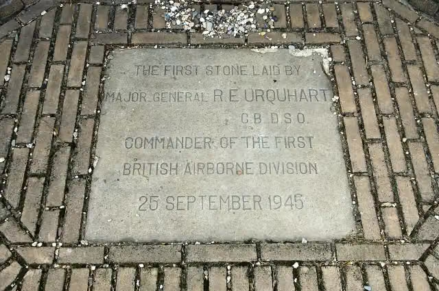 Airborne MonumentMemorial · 1.8 km from the route
Explore more
More walks around Overbetuwe
Frequently asked questions
How long is the Klompenpad Eldensche Veldpad walk?
The Eldensche Veldpad is 18 km long. It is a local walking route.
How much elevation does the Eldensche Veldpad walk have?
The Eldensche Veldpad has 17 m of ascent and 16 m of descent. It is therefore an almost flat route.
How many benches are there along the Eldensche Veldpad?
There are 35 benches along the Eldensche Veldpad. You can therefore sit down for a rest regularly along the way.
What type of surface does the Klompenpad Eldensche Veldpad walk have?
Of the 18 km, 45% is asphalt and 39% is natural surface. The rest is 8% unpaved and 7% paved.
What type of path is the Eldensche Veldpad?
Almost half of the route, 49%, is path. A further 25% is road, 10% is cycle path and 9% is footpath.
What points of interest are there along the Eldensche Veldpad?
Along the route are Castellum Meinerswijk (an archaeological site), the Gedenkteken 1940-1945 and the Exodus Monument.
Starting point
More routes from this place
Route data © OpenStreetMap contributors





