 Outdoor Pitstop
Walking route · Nijkerk · Updated on 14 November 2026
Klompenpad Laaksepad walk
Klompenpad Laaksepad is a walk of 9.7 km from Nijkerk that starts and ends at the same spot. Along the way you'll find 15 benches.
The route step by step
From start to finish, with what you pass along the way and the distance in between.
- 9.7 km
- ± 2:10 h
- ↑ 0 m · ↓ 0 m
- Easy
- Circular walk
- Local route
- Colour of the signs
This route is in pieces in OpenStreetMap, so there are no kilometres per pitstop. Along the way you'll find 15 benches.
Follow these steps in the appNo public toilet along the wayThere is no public toilet within 100 m of the route. Go before you start, or find one a bit further away in the app.
The route with the pitstops and sights within 100 m of it.
Elevation and terrain
- Up
- ↑ 0 m
- Down
- ↓ 0 m
- Highest point
- 5 m
- Lowest point
- 3 m
Nowhere steeper than 5%.
Elevation from AHN (Rijkswaterstaat), smoothed.
Way types
9.7 km in total- Path: 3.1 km
- Cycleway: 2.9 km
- Road: 2.4 km
- Track: 1.1 km
- Street: 150 m
Surfaces
9.7 km in total- Asphalt: 3.1 km
- Paved: 1.7 km
- Unpaved: 1.7 km
- Gravel: 999 m
- Natural: 988 m
- Unknown: 1.2 km
About the walking route Klompenpad Laaksepad
Updated on 14 November 2026, with data from OpenStreetMap, the AHN and Copernicus.
Where do you walk?
Klompenpad Laaksepad is a circular walk of 9.7 km from Nijkerk: it starts and ends in the same place.
How hard is the route?
The route is almost flat. You climb 0 m in total and descend 0 m. Allow ± 2:10 h, without breaks. The level is easy.
What paths do you walk on?
The longest part is path (3.1 km), cycleway (2.9 km) and road (2.4 km). Of the surface, 3.1 km asphalt and 1.7 km paved. For 1.2 km the surface is not known.
Pitstops along the way
Within 100 metres of the route there are 15 benches. There is no public toilet within 100 metres of the route. The Outdoor Pitstop app navigates you there.
Walks nearby
6- Overstaproute Laaksepad - StoutenburgerpadEasy · From A to B2.1 km
- Westerborkpad - 10Easy · From A to B9.7 km
- Overstaproute Terbroeksepad - LaaksepadEasy · From A to B2.6 km
- StoutenburgerpadModerate · Circular walk10.2 km
- Westerborkpad - 9Moderate · From A to B12.7 km
- Marskramerpad - 13Hard · From A to B24.1 km
Sights nearby
Within 10 km of the route, best known first.
- 1
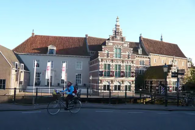 Museum AmersfoortMuseum · 4.6 km from the route
- 2
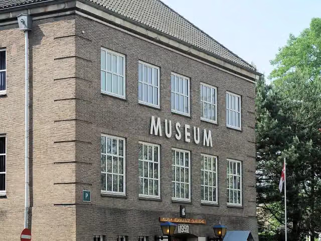 CavaleriemuseumMuseum · 7 km from the route
- 3
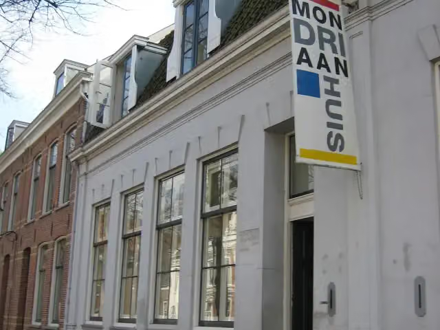 MondriaanhuisMuseum · 4.5 km from the route
- 4
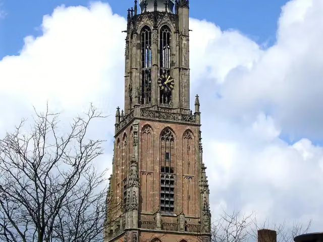 Onze Lieve VrouwetorenAttraction · 4.7 km from the route
- 5
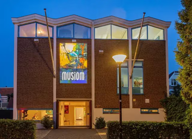 MusiomMuseum · 4.7 km from the route
- 6
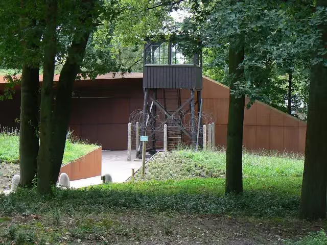 Nationaal Monument Kamp AmersfoortMuseum · 7.4 km from the route
- 7
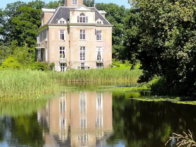 Kasteel OldenallerCastle · 8 km from the route
- 8
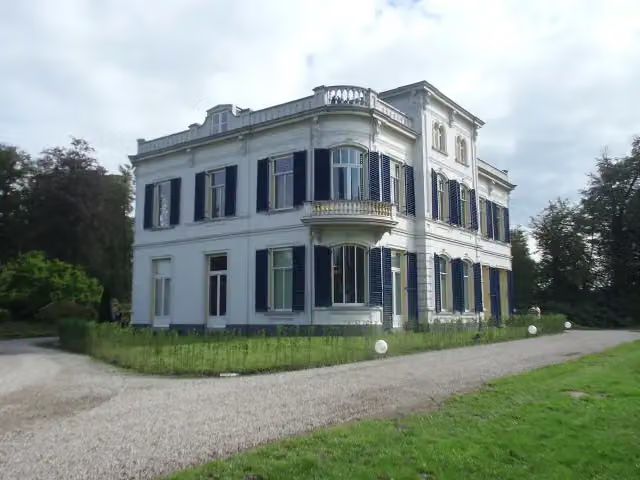 De BoomCastle · 8.8 km from the route
- 9
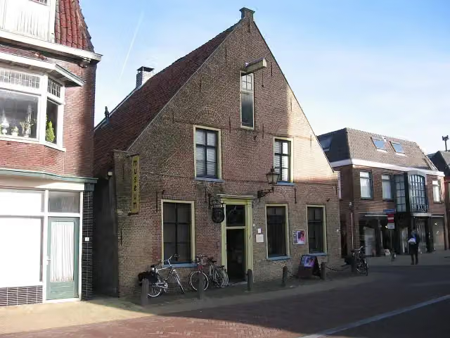 Nairac MuseumMuseum · 9.4 km from the route
- 10
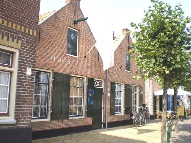 Museum SpakenburgMuseum · 8 km from the route
- 11
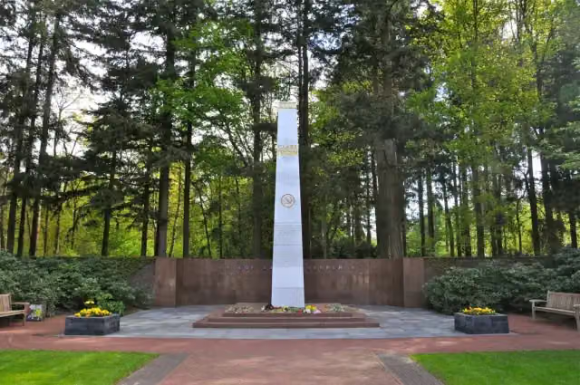 Sovjet EreveldMemorial · 7.1 km from the route
- 12
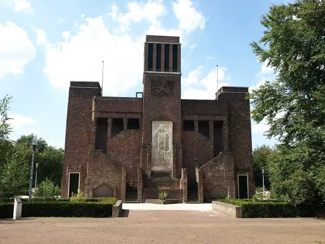 BelgenmonumentMonument · 7.1 km from the route
- 13
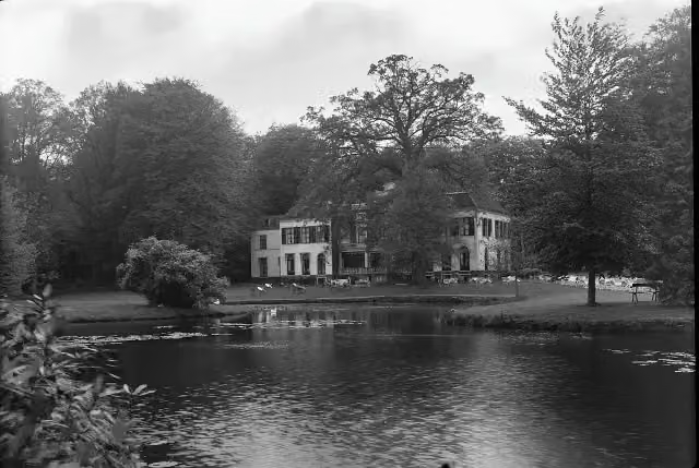 Huize Den TreekCastle · 9 km from the route
- 14
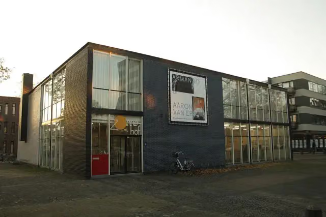 RietveldpaviljoenMuseum · 5.1 km from the route
- 15
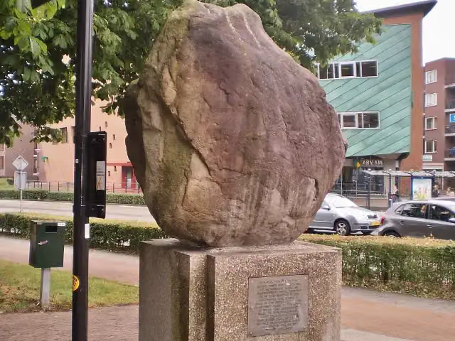 Amersfoortse KeiMemorial · 4.9 km from the route
- 16
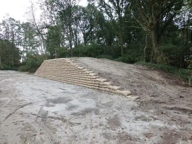 Voorwerk op de AsschatterkeerkadeFort · 5.2 km from the route
- 17
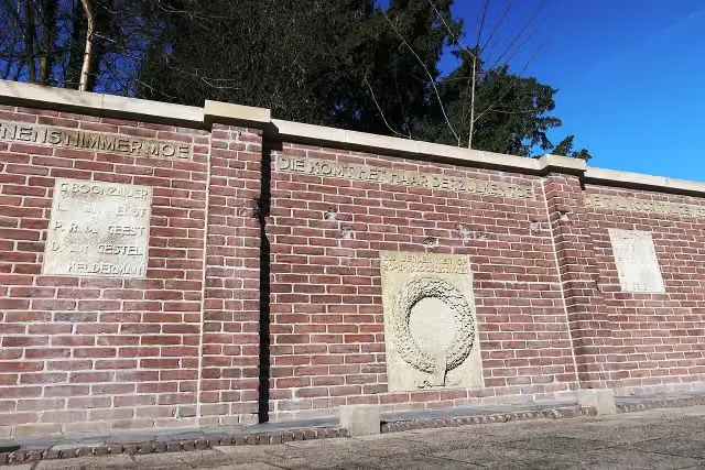 Fusillade AppelwegMemorial · 5.5 km from the route
- 18
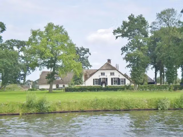 Werk bij KrachtwijkFort · 7.6 km from the route
- 19
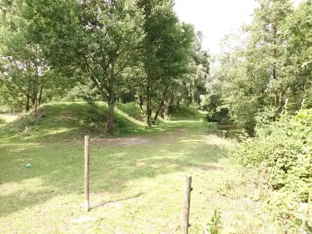 Werk aan de GlashutFort · 5 km from the route
- 20
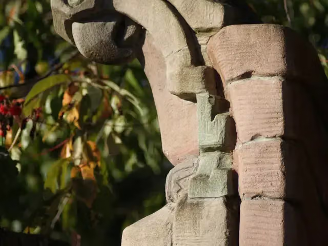 Herdenkingsbank Christine de Bosch KemperMemorial · 5.8 km from the route
- 21
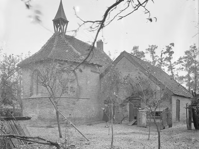 Terrein met overblijfselen van het versterkte huis Van IsseltArchaeological site · 6.1 km from the route
- 22
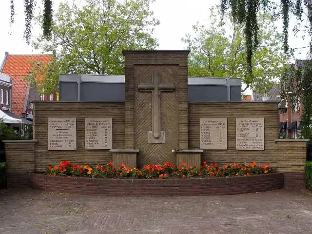 Spakenburgs OorlogsmonumentMemorial · 7.9 km from the route
- 23
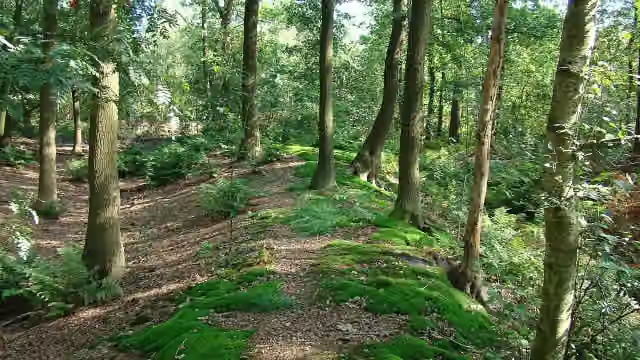 Appelse walburgArchaeological site · 5.5 km from the route
- 24
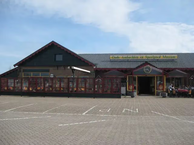 Old Crafts & Toys MuseumMuseum · 6.5 km from the route
- 25
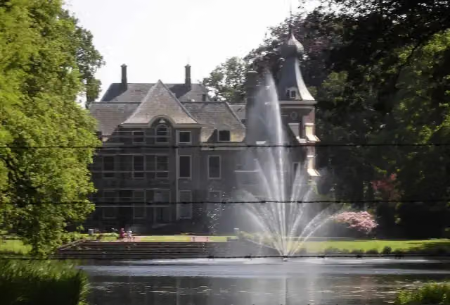 Huize HoevelakenCastle · 354 m from the route
Explore more
Frequently asked questions
How long is Klompenpad Laaksepad?
Klompenpad Laaksepad is 9.7 km long. Allow ± 2:10 h of walking: 4.5 km an hour and 10 minutes more per 100 metres of climbing, without breaks.
Is this route a circular walk?
Yes, the route starts and ends at the same spot.
Where does this route start?
The route starts in Nijkerk.
How hard is this route?
Easy.
Are there toilets along this route?
No, there is no public toilet within 100 m of the route. Go before you start.
Can you fill up with water along this route?
No, there is no water point within 100 m of the route. Bring enough water.
Can I download this route as a GPX file?
Yes. Sign in with your Outdoor Pitstop account and choose Download GPX at the top of this page: 10 routes a month for free, unlimited with Pro.
Starting point
More routes from this place
Route data © OpenStreetMap contributors





