 Outdoor Pitstop
Walking route · Darmstadt · Updated on 14 November 2026
Burgensteig Bergstraße walk
Burgensteig Bergstraße is a walk of 115.9 km from Darmstadt. Along the way you'll find 357 benches, 5 water fountains and refill points and 12 public toilets.
i
i
i
The route step by step
From start to finish, with what you pass along the way and the distance in between.
- 115.9 km
- ± 3:30 h per stage
- ↑ 3,235 m · ↓ 3,151 m
- Moderate per stage
- From A to B
- Regional route
Start in Darmstadt
0 km1.5 km · 11 benches
Water point
1.5 km2.2 km · 2 benches

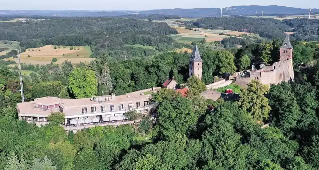
Burg Frankenstein
3.7 kmPublic toilet
4.2 km · 5 benches
Seeheimer Schloss
7.9 kmAttraction
2.2 km · 7 benches
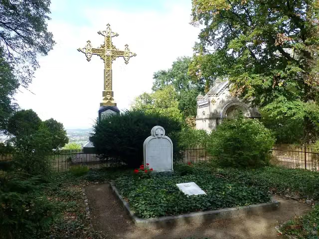
Tannenberg
10.1 kmAttraction
2.6 km · 5 benches
Klosterruine Heiligenberg
12.7 kmRuins
4.9 km · 24 benches
Alsbacher Schloss Burgturm
17.6 kmPublic toilet
5.9 km · 8 benches
Schloss Auerbach
23.5 kmPublic toilet
2.4 km · 9 benches
Public toilet
25.9 km486 m · 13 benches
Fürstenlager
26.4 kmPublic toilet
175 m · 3 benches
Public toilet
26.6 km2.7 km · 27 benches
Public toilet
29.2 km776 m · 18 benches
Roter Turm
30 kmPublic toilet
1 km · 3 benches
Menhir von Bensheim
31 kmArchaeological site
1.5 km · 2 benches
Bismarckturm Bensheim
32.5 kmObservation tower
9.6 km · 10 benches
Kurmainzer Amtshof
42 kmPublic toilet
11 km · 33 benches
Waldnerturm
53 kmObservation tower
6.8 km · 18 benches
Hirschkopfturm
59.9 kmObservation tower
4.1 km · 4 benches
Kinscherf'sche Mühle
63.9 kmAttraction
4.2 km · bench
Wachenburg
68.1 kmPublic toilet
10.6 km · 9 benches
Marie in der Kohlbach
78.6 kmAttraction
5.7 km · 20 benches
Hirschburg
84.4 kmCastle
972 m
Schanzenköpfle
85.3 kmAttraction
4.6 km · 6 benches
Public toilet
90 km8.2 km · 12 benches
Schauenburg
98.2 kmAttraction
5 km · 2 benches
Kronenburg (Ostburg)
103.2 kmRuins
2.1 km · 5 benches
Water point
105.3 km507 m
Burgstall Mauersechseck (Wolfsgrund) and 2 more
105.8 kmBurgstall Mauersechseck (Wolfsgrund) and Burgstall Mauersechseck (Wolfsgrund)
4.3 km · 20 benches
Water point
110.1 km1.9 km · 2 benches
Südwestturm
112 kmObservation tower
Show the other 7 steps
170 m
Thingstätte
112.1 kmAttraction
221 m
Public toilet
112.4 km275 m
Stephanskloster and 2 more
112.6 kmHeiligenbergturm and Heidenloch
1.3 km · 9 benches
Meriankanzel
113.9 kmViewpoint
719 m · 3 benches
Bismarcksäule
114.6 km2 water fountains and refill points
298 m · 30 benches
Joseph von Eichendorff
114.9 kmMemorial
948 m · 36 benches
Finish
115.9 km
Longest stretch without a toilet: 26 kmBetween 42 km and 68.1 km there is no public toilet within 100 m of the route.
The route with the water points, toilets and sights within 100 m of it.
31 sights along the way
In the order you pass them. With the Outdoor Pitstop app you hear their story on the spot. 23 more along the route are on the map.
Burg Frankenstein
Attraction · after 3.7 km
i
Photo: Commander-pirx at German Wikipedia · Wikimedia Commons · CC BY-SA 3.0View the photo on Wikimedia CommonsAttraction · after 7.9 km
i
Photo: Spot1972 · Wikimedia Commons · CC BY 2.5View the photo on Wikimedia CommonsAttraction · after 10.1 km
i
Photo: Muck · Wikimedia Commons · CC BY-SA 4.0View the photo on Wikimedia CommonsRuins · after 12.7 km

Observation tower · after 17.6 km
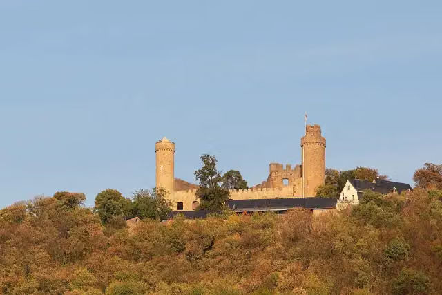
i
Photo: Philipp Hayer · Wikimedia Commons · CC BY-SA 4.0View the photo on Wikimedia CommonsAttraction · after 23.5 km
Attraction · after 26.5 km
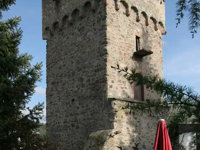
i
Photo: Kuebi = Armin Kübelbeck · Wikimedia Commons · CC BY-SA 3.0View the photo on Wikimedia CommonsRuins · after 30.1 km
Stages (9)
- 1Burgensteig Bergstraße Etappe 113.6 km
- 2Burgensteig Bergstraße Etappe 212 km
- 3Burgensteig Bergstraße Etappe 316.3 km
- 4Burgensteig Bergstraße Etappe 410.9 km
- 5Burgensteig Bergstraße Etappe 511.1 km
- 6Burgensteig Bergstraße Etappe 614.8 km
- 7Burgensteig Bergstraße Etappe 717.4 km
- 8Burgensteig Bergstraße Etappe 89.7 km
- 9Burgensteig Bergstraße Etappe 910.1 km
Elevation and terrain
- Up
- ↑ 3,235 m
- Down
- ↓ 3,151 m
- Highest point
- 429 m
- Lowest point
- 116 m
- 5-10% slope · 38.2 km
- 10-15% slope · 17.7 km
- 15-20% slope · 1.4 km
- 24 stairs
Elevation from Copernicus GLO-30 (European Union and ESA), smoothed.
produced using Copernicus WorldDEM-30 © DLR e.V. 2010-2014 and © Airbus Defence and Space GmbH 2014-2018 provided under COPERNICUS by the European Union and ESA; all rights reserved
Way types
115.9 km in total- Track: 75.4 km
- Path: 26.1 km
- Street: 7.7 km
- Road: 2.3 km
- Stairs: 24 stairs
- Busy road: 1.3 km
- Footpath: 754 m
Surfaces
115.9 km in total- Gravel: 52.2 km
- Unpaved: 31.6 km
- Asphalt: 15.1 km
- Paved: 4.1 km
- Natural: 1.6 km
- Unknown: 10.3 km
About the walking route Burgensteig Bergstraße
Updated on 14 November 2026, with data from OpenStreetMap, the AHN and Copernicus.
Where do you walk?
Burgensteig Bergstraße is a walking route of 115.9 km that starts in Darmstadt. It does not end where it starts. You start in Darmstadt and finish in Heidelberg. Along the way you pass Burg Frankenstein (after 3.7 km), Seeheimer Schloss (after 7.9 km) and Tannenberg (after 10.1 km).
How hard is the route?
You climb 3,235 m in total and descend 3,151 m. There are 24 flights of steps along the way. Allow ± 3:30 h per stage, without breaks. Per stage the level is moderate.
What paths do you walk on?
The longest part is track (75.4 km), path (26.1 km) and street (7.7 km). Of the surface, 52.2 km gravel and 31.6 km unpaved. For 10.3 km the surface is not known.
Pitstops along the way
Within 100 metres of the route there are 357 benches, 5 water fountains and refill points and 12 public toilets. You can fill your bottle after 1.5 km, after 105.3 km, after 110.1 km and after 114.7 km. The longest stretch without a toilet is 26 km. The Outdoor Pitstop app navigates you there.
Walks nearby
6- Blütenweg Teilstück Darmstadt - HeppenheimHard · From A to B30.7 km
- Hessenweg 7 (Teilstück Wiesbaden - Darmstadt-Eberstadt)Hard · From A to B70.5 km
- Rhein-Main-WegHard · From A to B65.5 km
- Hessenweg 7 (Teilstück Darmstadt-Eberstadt - Erbach)Hard · From A to B68.8 km
- Odenwald-Vogesen-Weg Teil 1Hard · From A to B96.4 km
- Malchen–ObernburgHard · From A to B56.4 km
Sights nearby
Within 10 km of the route, best known first.
- 1
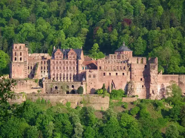 Heidelberg CastleAttraction · 683 m from the route
- 2
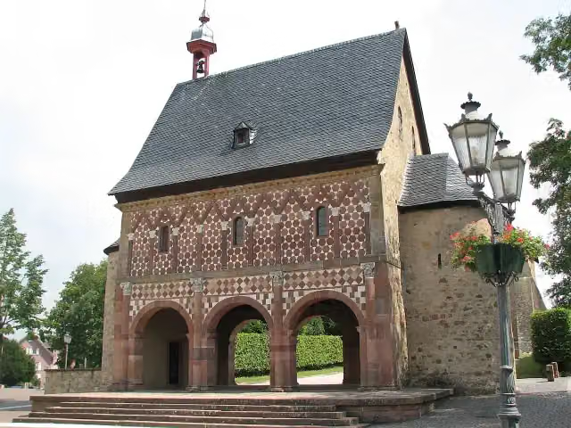 Lorsch AbbeyAttraction · 4.9 km from the route
- 3
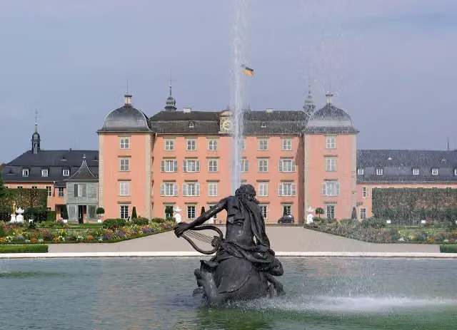 Schloss SchwetzingenCastle · 10 km from the route
- 4
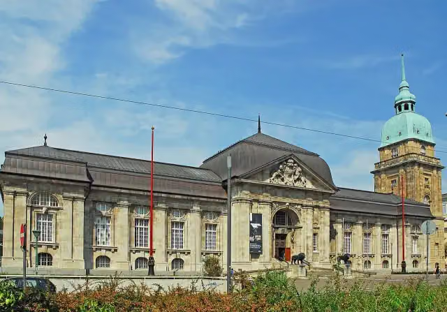 Hessisches LandesmuseumMuseum · 7 km from the route
- 5
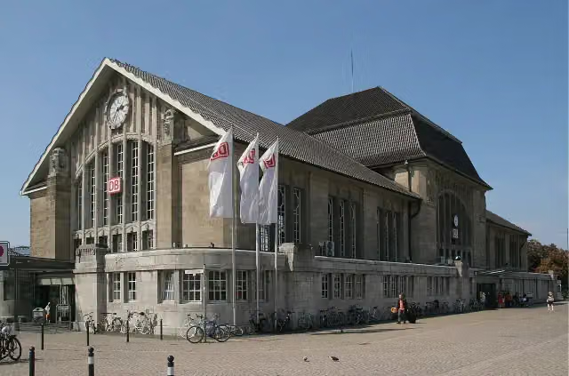 Darmstadt HauptbahnhofAttraction · 6.8 km from the route
- 6
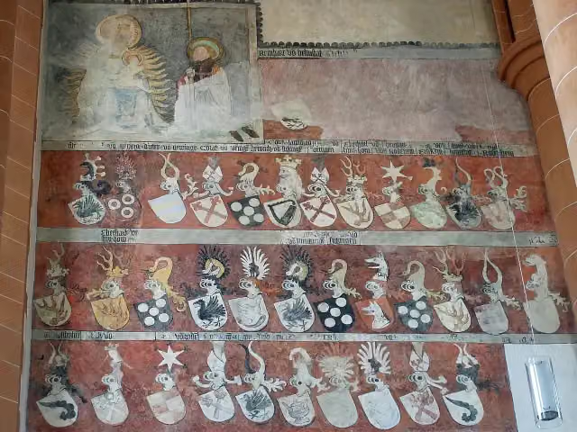 Church of the Holy SpiritAttraction · 353 m from the route
- 7
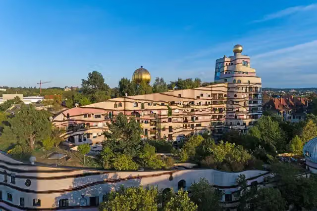 WaldspiraleAttraction · 8.2 km from the route
- 8
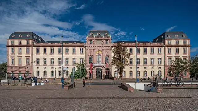 Residential Palace DarmstadtAttraction · 6.9 km from the route
- 9
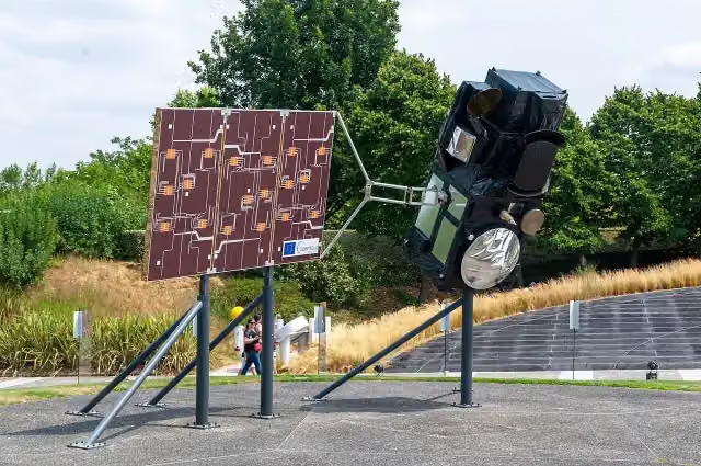 Model of Sentinel-3Attraction · 6.1 km from the route
- 10
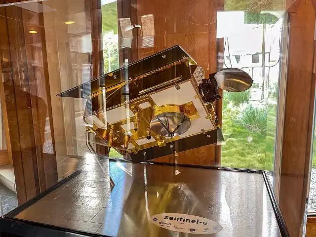 Model of Sentinel-6Attraction · 6.1 km from the route
- 11
 Model of MetopAttraction · 6.1 km from the route
- 12
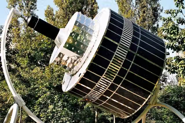 Model of MeteosatAttraction · 6.1 km from the route
- 13
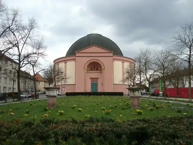 LudwigskircheAttraction · 6.3 km from the route
- 14
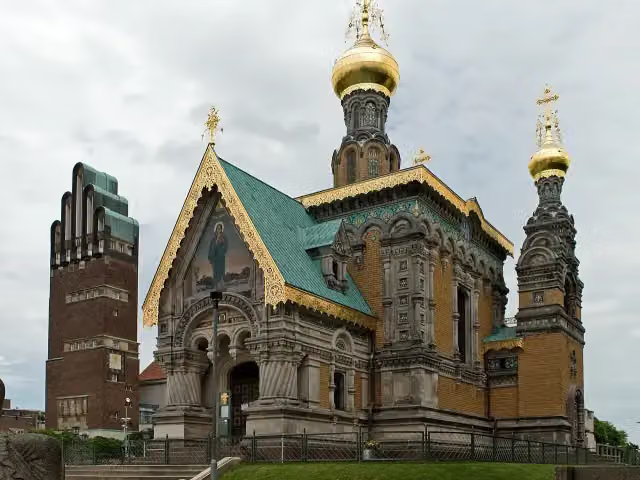 Russian Orthodox Church of Saint Mary MagdaleneAttraction · 7.3 km from the route
- 15
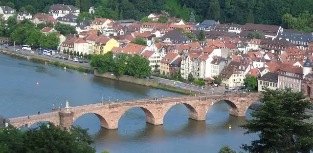 Alte BrückeAttraction · 115 m from the route
- 16
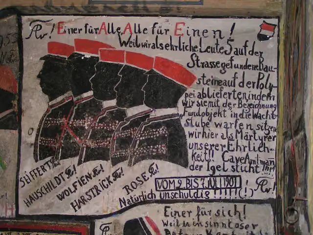 Historischer StudentenkarzerMuseum · 497 m from the route
- 17
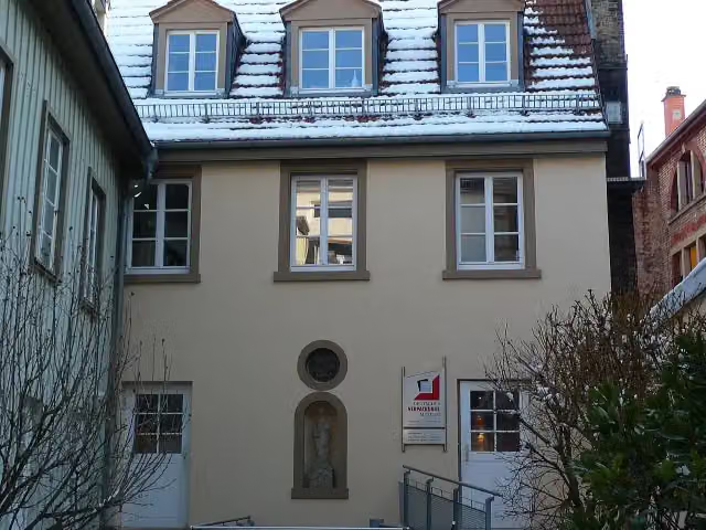 Deutsches VerpackungsmuseumMuseum · 696 m from the route
- 18
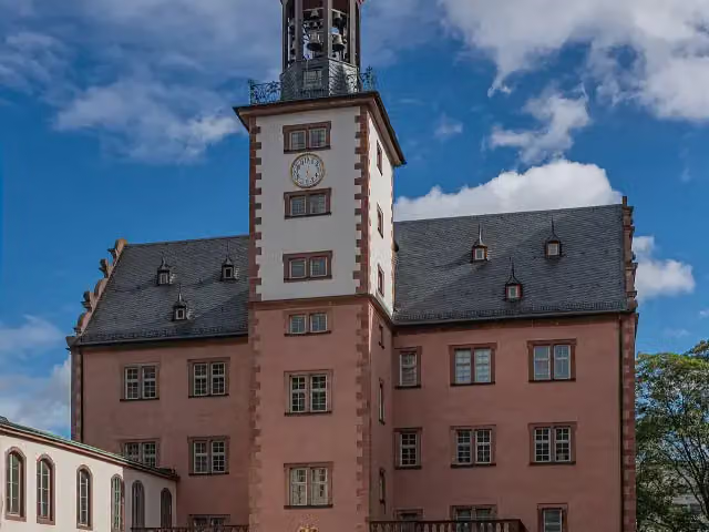 SchlossmuseumMuseum · 6.9 km from the route
- 19
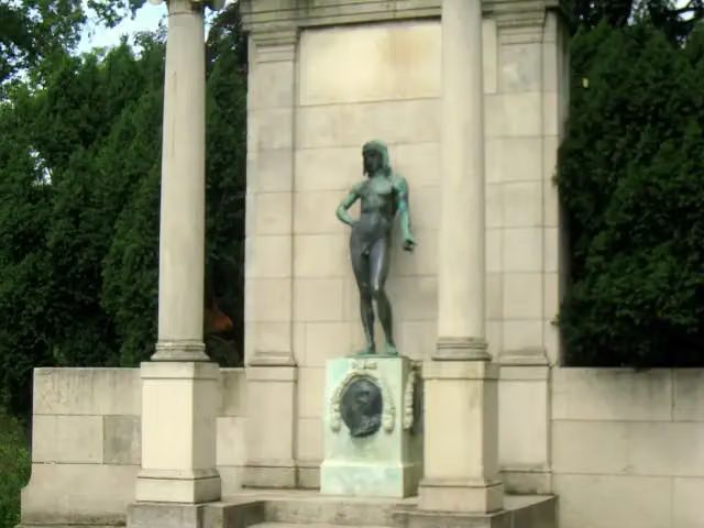 Goethe MonumentMemorial · 7.3 km from the route
- 20
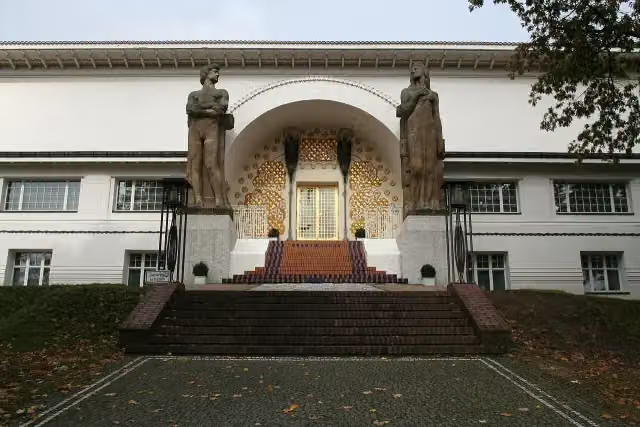 Artists' colonyMuseum · 7.3 km from the route
- 21
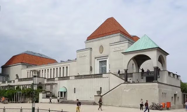 Exhibition hallMuseum · 7.4 km from the route
- 22
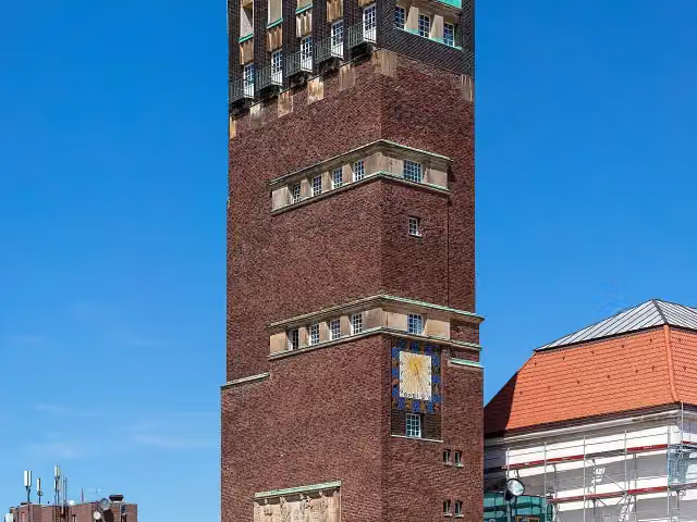 HochzeitsturmObservation tower · 7.4 km from the route
- 23
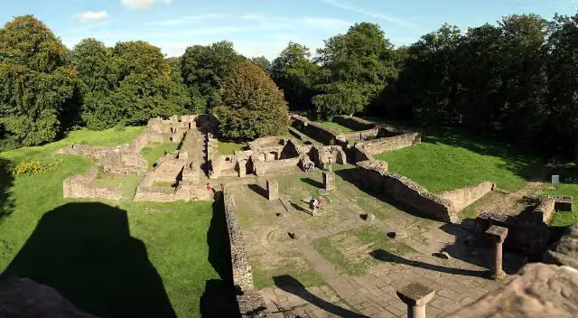 St. MichaelsklosterAttraction · 106 m from the route
- 24
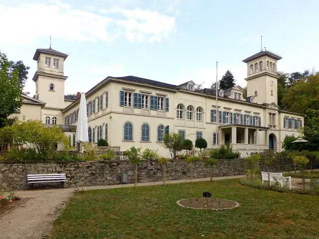 Schloss HeiligenbergCastle · 142 m from the route
- 25
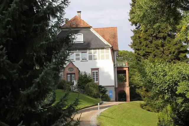 Museum Stangenberg MerckMuseum · 153 m from the route
Explore more
More walks around Darmstadt
More nearby
Frequently asked questions
How long is Burgensteig Bergstraße?
Burgensteig Bergstraße is 115.9 km long, in 9 stages of 12.9 km on average. Allow ± 3:30 h per stage of walking: 4.5 km an hour and 10 minutes more per 100 metres of climbing, without breaks.
How many stages does this route have?
The route is split into 9 stages of 12.9 km on average, 115.9 km in all. The shortest stage is 9.7 km, the longest 17.4 km.
Is this route a circular walk?
No, the route runs from Darmstadt to Heidelberg.
Where does this route start?
The route starts in Darmstadt.
How hard is this route?
Moderate per stage, with 359 m per stage of climbing.
Are there toilets along this route?
Yes, there are 12 public toilets within 100 m of the route. The longest stretch without a toilet is 26 km.
Can you fill up with water along this route?
Yes, there are 5 water fountains and refill points within 100 m of the route.
What is there to see along this route?
Along the way you pass Burg Frankenstein, Seeheimer Schloss and Tannenberg.
Which stage of this route has the most points of interest?
Stage 9 (10.1 km), with 8 points of interest along the route, such as Südwestturm, Thingstätte and Stephanskloster.
Can I download this route as a GPX file?
Yes. Sign in with your Outdoor Pitstop account and choose Download GPX at the top of this page: 10 routes a month for free, unlimited with Pro.
Starting point
More routes from this place
Route data © OpenStreetMap contributors





