 Outdoor Pitstop
Walking route · Remagen · Updated on 14 November 2026
Rheinburgenweg walk
Rheinburgenweg is a walk of 196.4 km from Remagen. Along the way you'll find 715 benches, 2 water fountains and refill points, 19 public toilets and 1 honesty box.
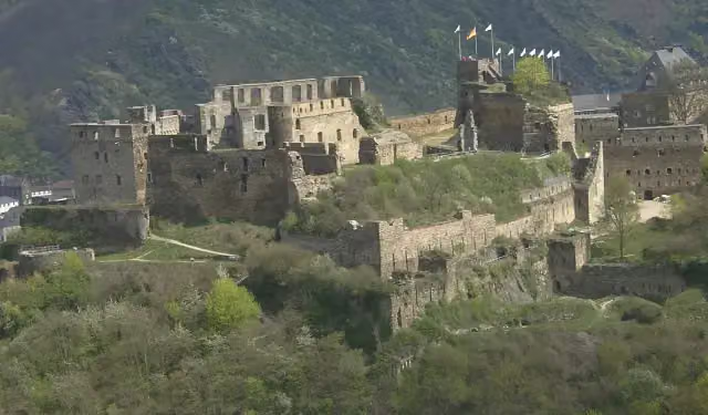
i
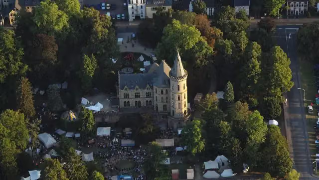
i
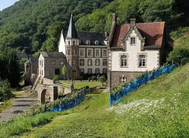
i
The route step by step
From start to finish, with what you pass along the way and the distance in between.
- 196.4 km
- ± 3:55 h per stage
- ↑ 4,483 m · ↓ 4,565 m
- Moderate per stage
- From A to B
- National route
Pick a stage to see the pitstops per kilometre. Along the way you'll find 715 benches, 2 water fountains and refill points, 19 public toilets and 1 honesty box.
Follow these steps in the appThe route with the water points, toilets and sights within 100 m of it.
22 sights along the way
In the order you pass them. With the Outdoor Pitstop app you hear their story on the spot. 14 more along the route are on the map.

Attraction
i
Photo: Wolkenkratzer · Wikimedia Commons · CC BY-SA 3.0View the photo on Wikimedia CommonsCastle
i
Photo: Burg Brohleck · Wikimedia Commons · CC BY-SA 4.0View the photo on Wikimedia CommonsCastle
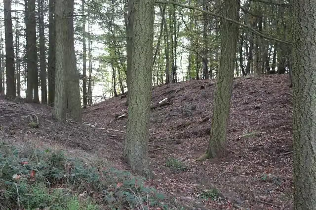
i
Photo: JS Lonscet · Wikimedia Commons · CC BY-SA 4.0View the photo on Wikimedia CommonsAttraction
Ruins
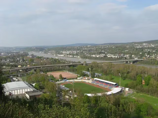
i
Photo: Gabriele Delhey · Wikimedia Commons · CC BY-SA 3.0View the photo on Wikimedia CommonsViewpoint
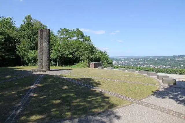
i
Photo: Holger Weinandt · Wikimedia Commons · CC BY-SA 3.0 deView the photo on Wikimedia CommonsMemorial
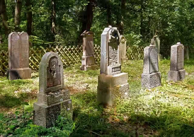
i
Photo: Rolf Kranz · Wikimedia Commons · CC BY-SA 4.0View the photo on Wikimedia CommonsMemorial
Stages (13)
- 1Rheinburgenweg 1. Etappe Rolandsbogen - Remagen13.5 km
- 2Rheinburgenweg 2. Etappe Remagen - Bad Breisig15.8 km
- 3Rheinburgenweg 3. Etappe Bad Breisig - Andernach19.4 km
- 4Rheinburgenweg 4. Etappe Andernach - Bassenheim13.8 km
- 5Rheinburgenweg 5. Etappe Bassenheim - Winningen15.4 km
- 6Rheinburgenweg 6. Etappe Winningen - Koblenz14.6 km
- 7Rheinburgenweg 7. Etappe Koblenz - Rhens13.3 km
- 8Rheinburgenweg 8. Etappe Rhens - Bad Salzig15.9 km
- 9Rheinburgenweg 9. Etappe Bad Salzig - St. Goar19.6 km
- 10Rheinburgenweg 10. Etappe St. Goar - Oberwesel9.1 km
- 11Rheinburgenweg 11. Etappe Oberwesel - Bacharach13.4 km
- 12Rheinburgenweg 12. Etappe Bacharach - Trechtingshausen20.8 km
- 13Rheinburgenweg 13. Etappe Trechtingshausen - Bingen11.7 km
Elevation and terrain
- Up
- ↑ 4,483 m
- Down
- ↓ 4,565 m
- Highest point
- 465 m
- Lowest point
- 63 m
- 5-10% slope · 52.2 km
- 10-15% slope · 19.2 km
- 15-20% slope · 4.1 km
- 20% slope or steeper · 479 m
- 46 stairs
Elevation from Copernicus GLO-30 (European Union and ESA), smoothed.
produced using Copernicus WorldDEM-30 © DLR e.V. 2010-2014 and © Airbus Defence and Space GmbH 2014-2018 provided under COPERNICUS by the European Union and ESA; all rights reserved
Way types
196.4 km in total- Track: 120.6 km
- Path: 42.4 km
- Street: 18.7 km
- Footpath: 5.4 km
- Stairs: 46 stairs
- Road: 3.4 km
- Busy road: 1.1 km
- Unknown: 90 m
Surfaces
196.4 km in total- Gravel: 79 km
- Unpaved: 43.4 km
- Asphalt: 22.2 km
- Natural: 15.5 km
- Paved: 10.8 km
- Unknown: 23.9 km
About the walking route Rheinburgenweg
Updated on 14 November 2026, with data from OpenStreetMap, the AHN and Copernicus.
Where do you walk?
Rheinburgenweg is a walking route of 196.4 km that starts in Remagen. It does not end where it starts. You start in Rolandsbogen and finish in Bingen.
How hard is the route?
You climb 4,483 m in total and descend 4,565 m. There are 46 flights of steps along the way. Allow ± 3:55 h per stage, without breaks. Per stage the level is moderate.
What paths do you walk on?
The longest part is track (120.6 km), path (42.4 km) and street (18.7 km). Of the surface, 79 km gravel and 43.4 km unpaved. For 23.9 km the surface is not known.
Pitstops along the way
Within 100 metres of the route there are 715 benches, 2 water fountains and refill points, 19 public toilets and 1 honesty box. The Outdoor Pitstop app navigates you there.
The Rheinburgenweg (Rhine Castles Trail) is a long-distance trail of about 196 km on the left bank of the Rhine, running in 13 stages from the Rolandsbogen near Remagen via Andernach and Koblenz to Bingen. It passes through the Upper Middle Rhine Valley World Heritage Site, via Boppard, Sankt Goar, Oberwesel and Bacharach. Over 20 castles and palaces lie along the way, among them Rheinfels, the Schönburg, Stahleck and Rheinstein. Nearly two thirds of it is on forest and farm tracks. Drinking water is scarce: we know of only 2 points, plus 19 toilets.
Source: Wikipedia (CC BY-SA)
Walks nearby
6- Europäischer Fernwanderweg E8, Rheinland-PfalzHard · From A to B292.2 km
- Rheinhöhenweg Bonn - Koblenz (lrh. - Eifel)Hard · From A to B88.3 km
- Linksrheinischer JakobswegHard · From A to B240.6 km
- Europäischer Fernwanderweg E8, Nordrhein-WestfalenHard · From A to B469.7 km
- [+] HWW Bad Honnef - Koblenz [1] (Bad Honnef - Windhagen)Hard · From A to B16.4 km
- [R] Rheinhöhenweg [rrh. Lahnstein → Bonn Beuel]Hard · From A to B124.1 km
Sights nearby
Within 10 km of the route, best known first.
- 1
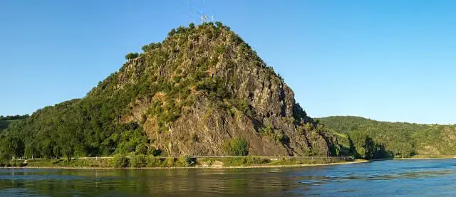 LoreleiAttraction · 507 m from the route
- 2
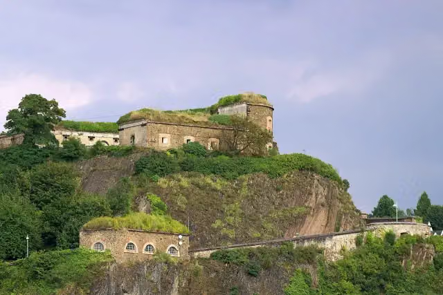 Ehrenbreitstein FortressCastle · 4.5 km from the route
- 3
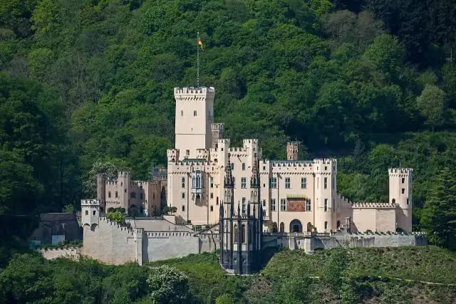 Schloss StolzenfelsCastle · 221 m from the route
- 4
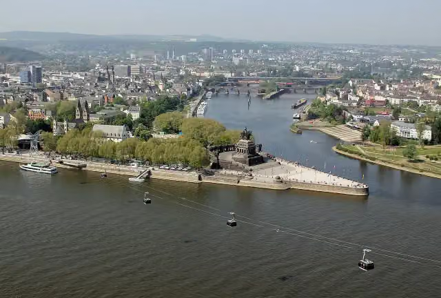 Deutsches EckViewpoint · 4 km from the route
- 5
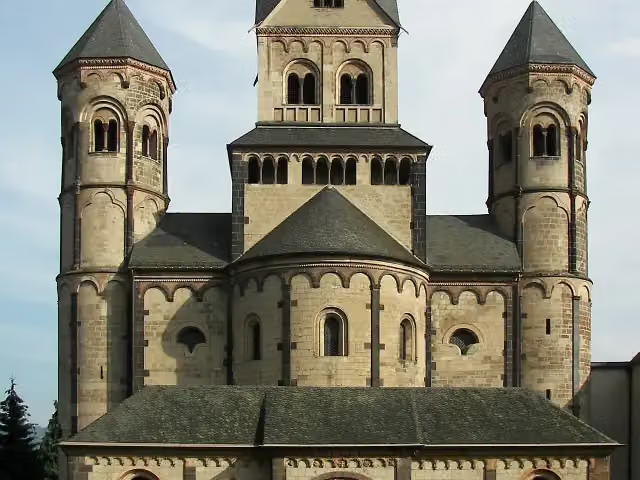 Benediktinerabtei Maria LaachAttraction · 7.9 km from the route
- 6
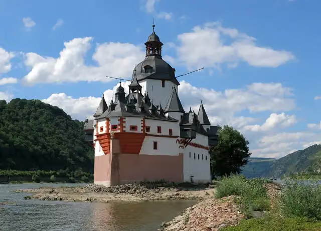 Pfalzgrafenstein CastleAttraction · 429 m from the route
- 7
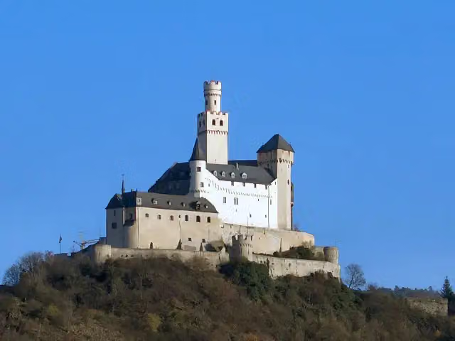 MarksburgMuseum · 1.8 km from the route
- 8
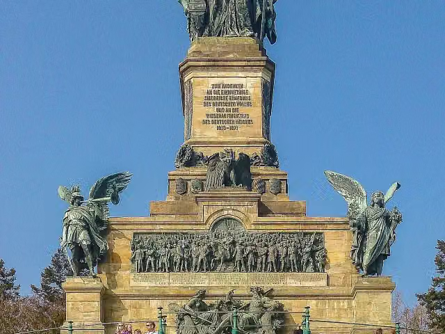 NiederwalddenkmalAttraction · 2 km from the route
- 9
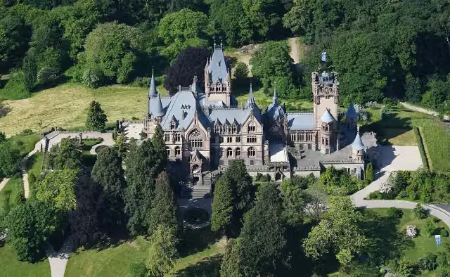 Schloß DrachenburgAttraction · 3.1 km from the route
- 10
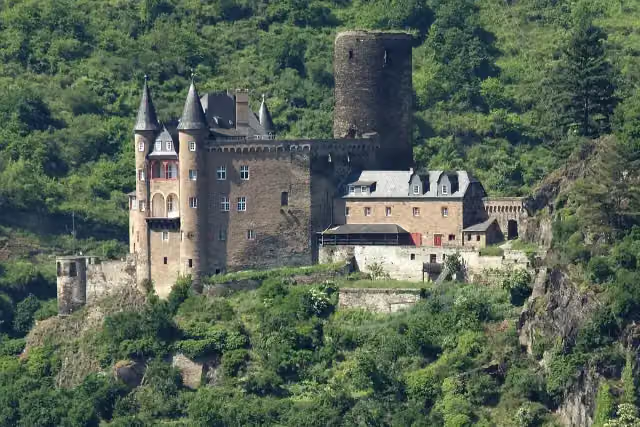 Katz CastleCastle · 584 m from the route
- 11
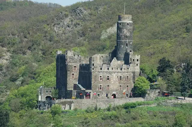 Maus CastleCastle · 819 m from the route
- 12
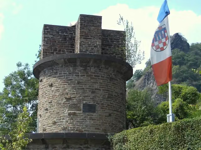 UlanendenkmalMemorial · 2.4 km from the route
- 13
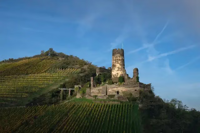 Fürstenberg CastleCastle · 170 m from the route
- 14
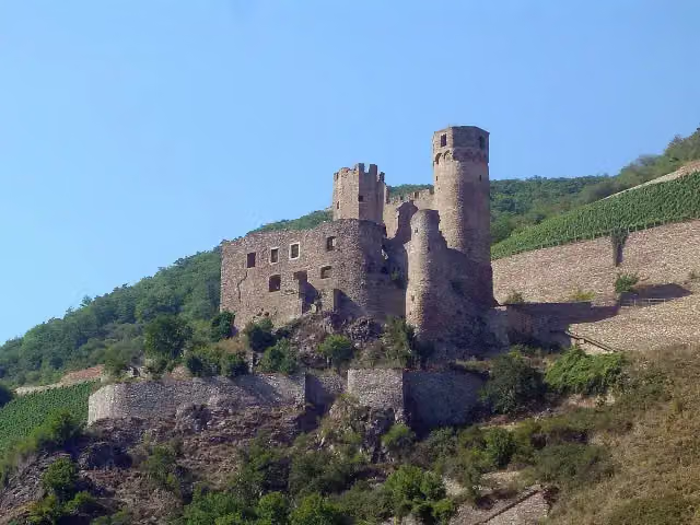 EhrenfelsCastle · 630 m from the route
- 15
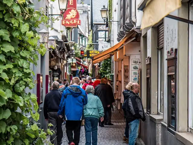 DrosselgasseAttraction · 3.2 km from the route
- 16
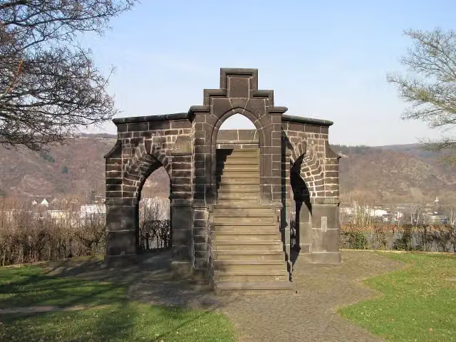 Royal ChairMonument · 109 m from the route
- 17
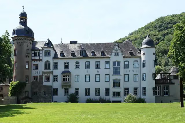 Namedy CastleAttraction · 158 m from the route
- 18
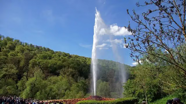 Andernach GeyserAttraction · 1.2 km from the route
- 19
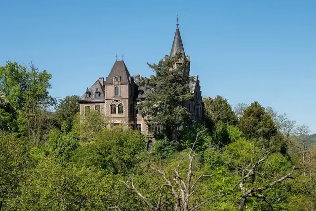 Schloss LiebeneckCastle · 1.9 km from the route
- 20
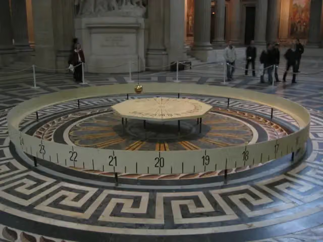 Foucault pendulumAttraction · 2 km from the route
- 21
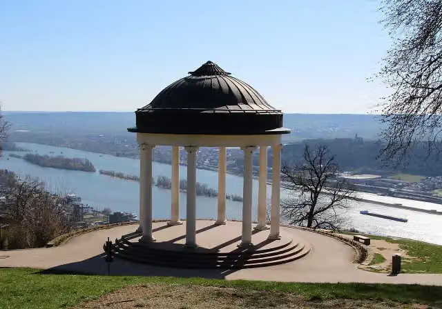 TempleAttraction · 2.2 km from the route
- 22
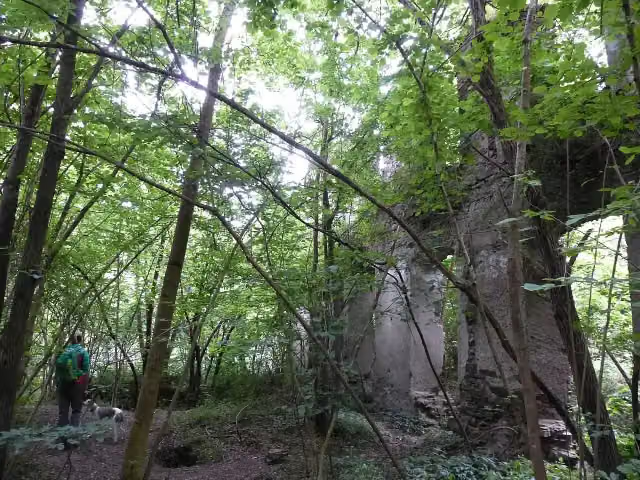 Klosterruine TönnissteinAttraction · 2.4 km from the route
- 23
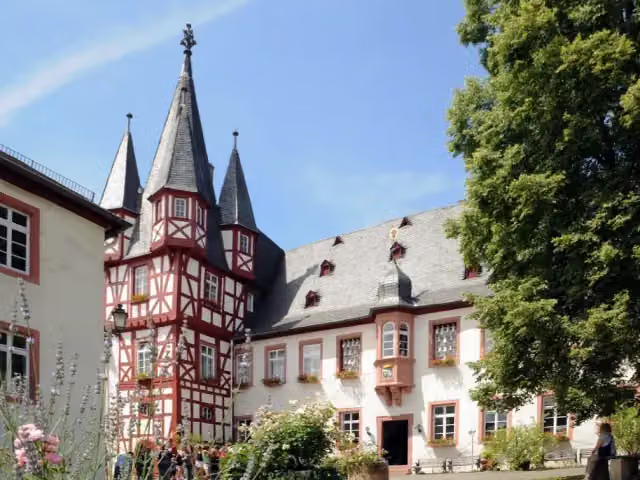 Siegfried's Mechanical Music CabinetMuseum · 3.2 km from the route
- 24
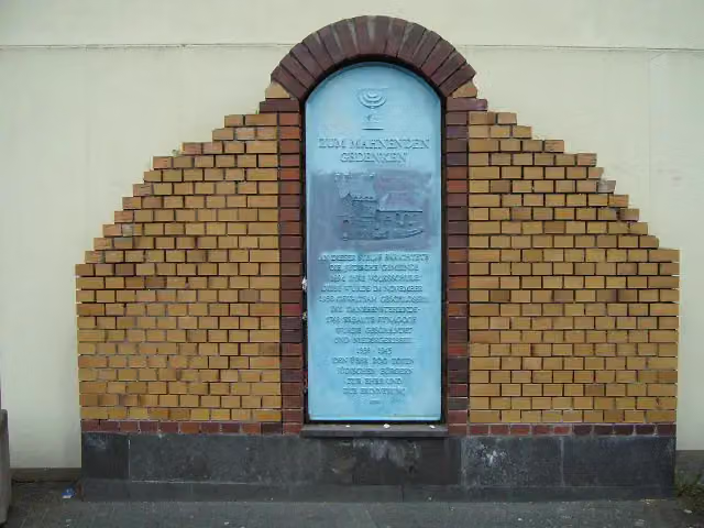 SynagogeMemorial · 3.4 km from the route
- 25
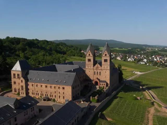 Eibingen AbbeyAttraction · 4.4 km from the route
Explore more
Frequently asked questions
How long is Rheinburgenweg?
Rheinburgenweg is 196.4 km long, in 13 stages of 15.1 km on average. Allow ± 3:55 h per stage of walking: 4.5 km an hour and 10 minutes more per 100 metres of climbing, without breaks.
How many stages does this route have?
The route is split into 13 stages of 15.1 km on average, 196.4 km in all. The shortest stage is 9.1 km, the longest 20.8 km.
Is this route a circular walk?
No, the route runs from Rolandsbogen to Bingen.
Where does this route start?
The route starts in Remagen.
How hard is this route?
Moderate per stage, with 345 m per stage of climbing.
Are there toilets along this route?
Yes, there are 19 public toilets within 100 m of the route.
Can you fill up with water along this route?
Yes, there are 2 water fountains and refill points within 100 m of the route.
What is there to see along this route?
Along the way you pass Rolandsbogen, Schloss Sinzig and Schloss Brohleck.
Which stage of this route has the most points of interest?
Stage 12 (20.8 km), with 4 points of interest along the route, such as Wernerkapelle, Burg Stahleck and Heimburg.
Can I download this route as a GPX file?
Yes. Sign in with your Outdoor Pitstop account and choose Download GPX at the top of this page: 10 routes a month for free, unlimited with Pro.
Starting point
More routes from this place
Route data © OpenStreetMap contributors





