 Outdoor Pitstop
Walking route · Uffenheim · Updated on 14 November 2026
Jakobswege in Franken walk
Jakobswege in Franken is a walk of 1,612.5 km from Uffenheim. Along the way you'll find 3,610 benches, 65 water fountains and refill points, 205 public toilets, 27 bike pumps and 9 honesty boxes and farm vending machines.
i
i
The route step by step
From start to finish, with what you pass along the way and the distance in between.
- 1,612.5 km
- From A to B
- National route
Pick a stage to see the pitstops per kilometre. Along the way you'll find 3,610 benches, 65 water fountains and refill points, 205 public toilets, 27 bike pumps and 9 honesty boxes and farm vending machines.
Follow these steps in the appThe route with the water points, toilets and sights within 100 m of it.
190 sights along the way
In the order you pass them. With the Outdoor Pitstop app you hear their story on the spot. 182 more along the route are on the map.

Observation tower
Castle
Museum
i
Photo: Burkhard Mücke · Wikimedia Commons · CC BY-SA 4.0View the photo on Wikimedia CommonsAttraction
i
Photo: Tilman2007 · Wikimedia Commons · CC BY-SA 3.0View the photo on Wikimedia CommonsMuseum
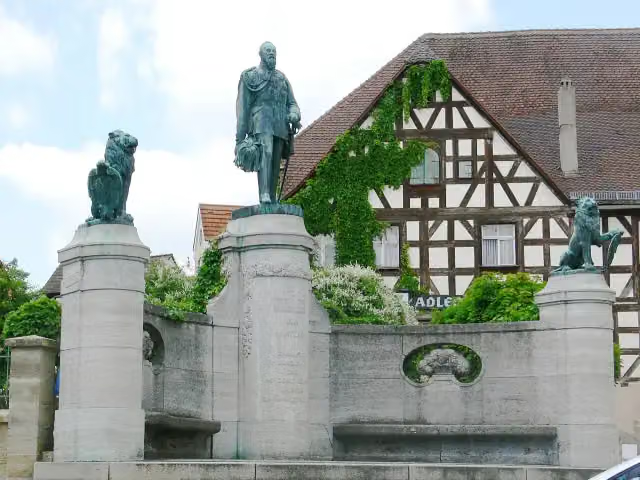
i
Photo: Photo: Andreas Praefcke · Wikimedia Commons · CC BY 3.0View the photo on Wikimedia CommonsMemorial
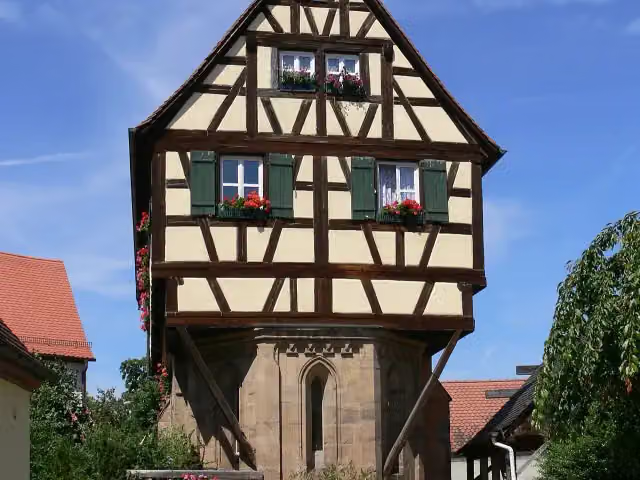
i
Photo: Photo: Andreas Praefcke · Wikimedia Commons · CC BY 3.0View the photo on Wikimedia CommonsAttraction
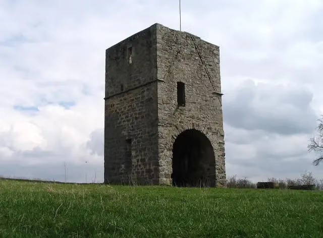
i
Photo: 19Wilhelm18 · Wikimedia Commons · CC BY-SA 4.0View the photo on Wikimedia CommonsRuins
Stages (7)
About the walking route Jakobswege in Franken
Updated on 14 November 2026, with data from OpenStreetMap, the AHN and Copernicus.
Where do you walk?
Jakobswege in Franken is a walking route of 1,612.5 km that starts in Uffenheim. It does not end where it starts.
Pitstops along the way
Within 100 metres of the route there are 3,610 benches, 65 water fountains and refill points, 205 public toilets, 27 bike pumps and 9 honesty boxes and farm vending machines. The Outdoor Pitstop app navigates you there.
Part of Jakobswege Bayern
Walks nearby
6Sights nearby
Within 10 km of the route, best known first.
- 1
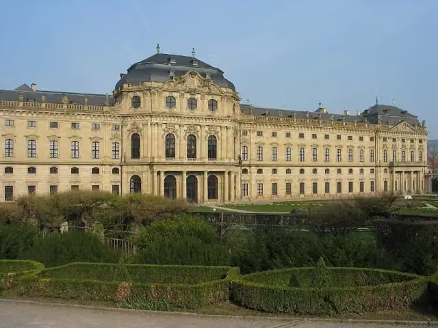 Würzburg ResidenceAttraction · 843 m from the route
- 2
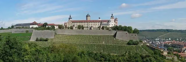 Marienberg FortressAttraction · 580 m from the route
- 3
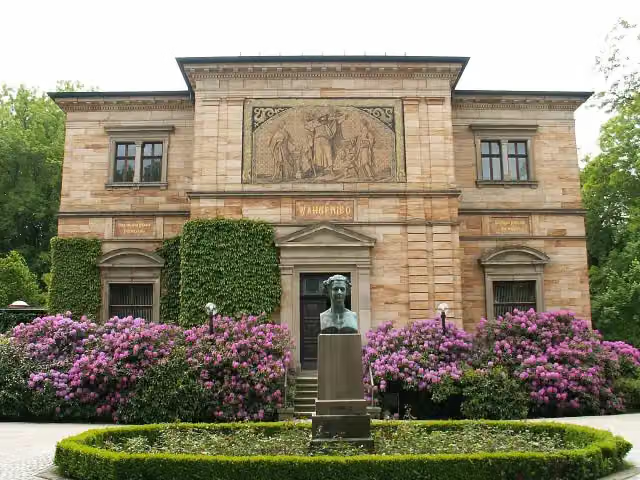 Richard-Wagner-MuseumMuseum · 410 m from the route
- 4
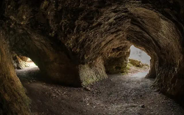 VogelherdhöhleAttraction · 831 m from the route
- 5
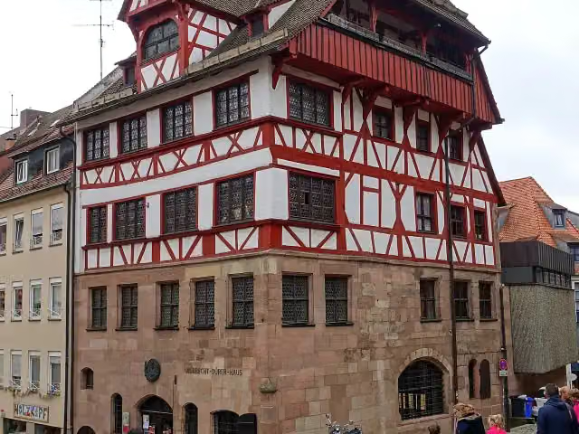 Albrecht Dürer's HouseMuseum · 246 m from the route
- 6
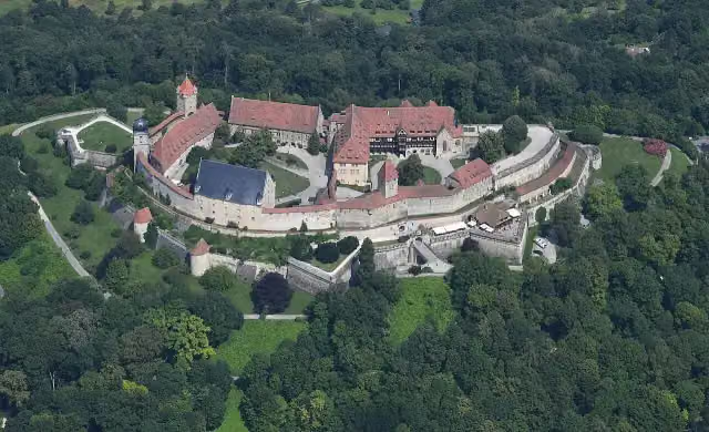 Veste CoburgCastle · 1.3 km from the route
- 7
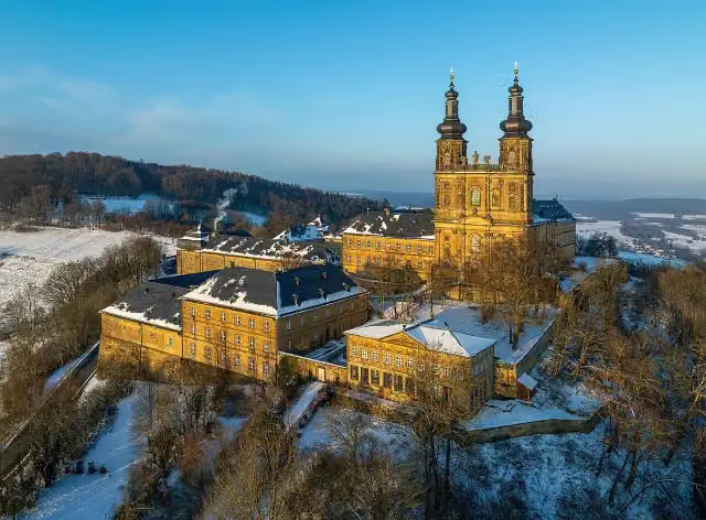 Kloster BanzAttraction · 3.5 km from the route
- 8
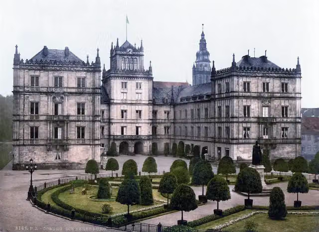 Schloss EhrenburgAttraction · 139 m from the route
- 9
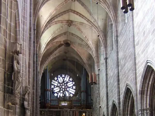 St. Lawrence ChurchAttraction · 206 m from the route
- 10
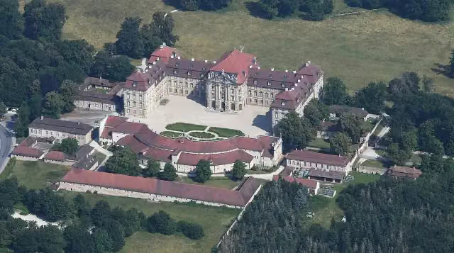 Schloss WeißensteinAttraction · 5.5 km from the route
- 11
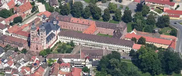 Abbey ChurchAttraction · 6.6 km from the route
- 12
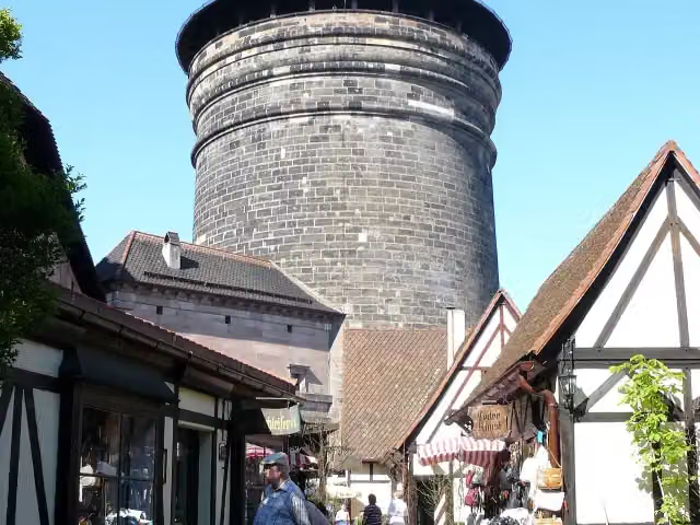 Craftmen's CourtyardAttraction · 106 m from the route
- 13
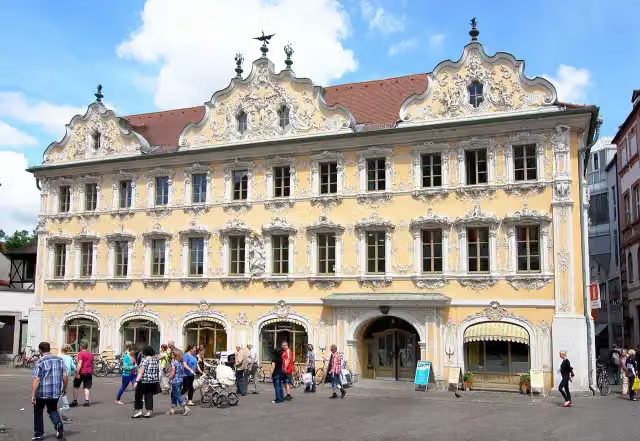 FalkenhausAttraction · 312 m from the route
- 14
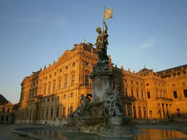 FrankoniabrunnenAttraction · 780 m from the route
- 15
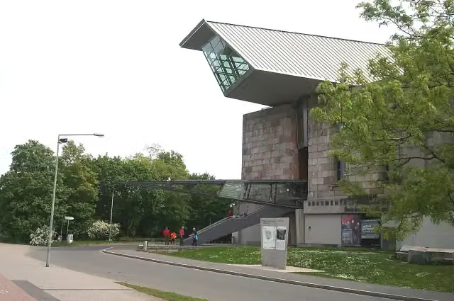 Documentation Center Nazi Party Rally GroundsMuseum · 1.9 km from the route
- 16
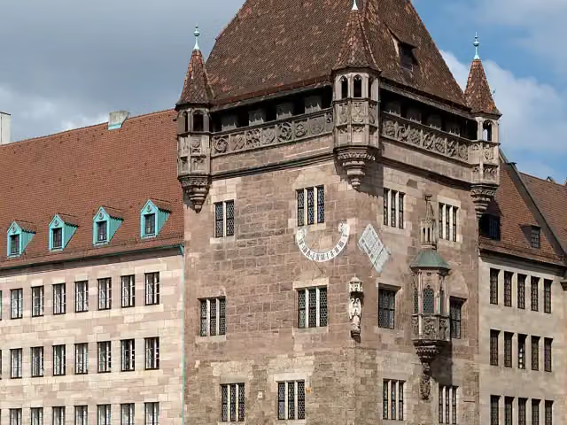 Nassauer HausAttraction · 151 m from the route
- 17
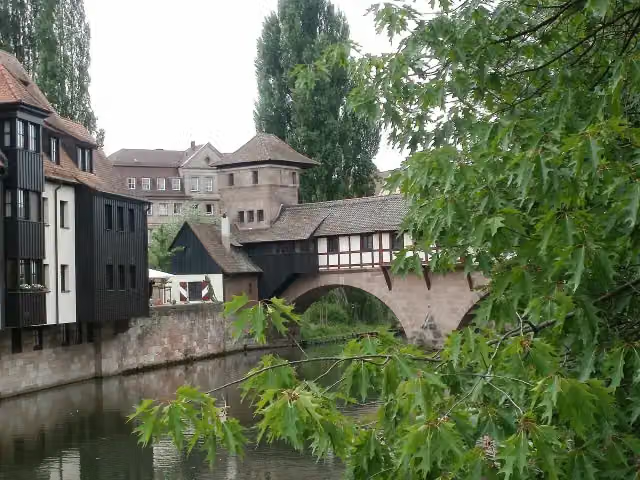 hangman's houseMuseum · 170 m from the route
- 18
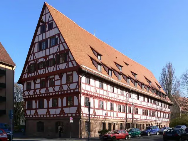 WeinstadelAttraction · 224 m from the route
- 19
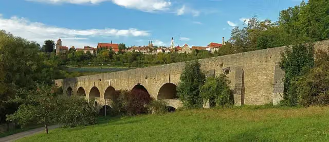 Double Bridge over the Tauber RiverAttraction · 285 m from the route
- 20
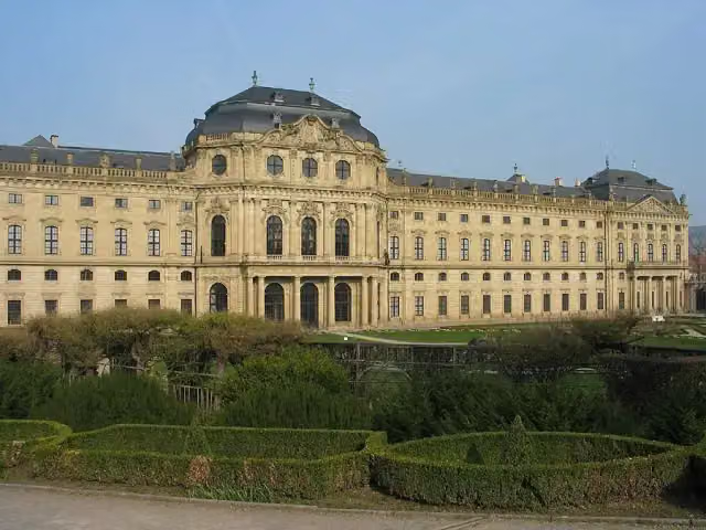 Martin-von-Wagner-MuseumMuseum · 833 m from the route
- 21
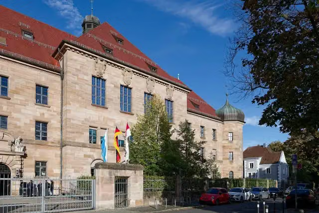 Memorium Nuremberg TrialsMuseum · 1.1 km from the route
- 22
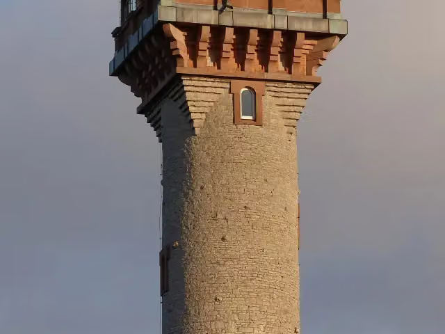 Aussichtsturm FrankenwarteObservation tower · 1.5 km from the route
- 23
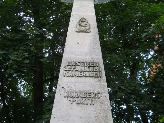 Pilot MonumentMemorial · 1.6 km from the route
- 24
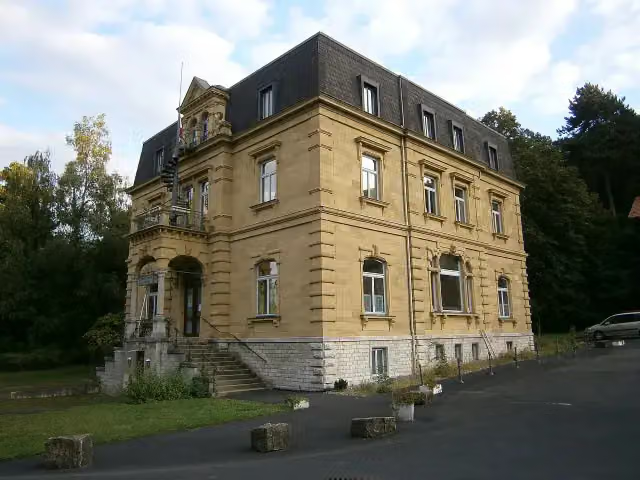 Siebold-MuseumMuseum · 2.3 km from the route
- 25
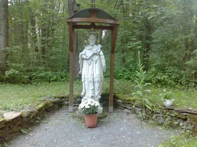 svatý Jan NepomuckýMemorial · 4.8 km from the route
Explore more
Frequently asked questions
How long is Jakobswege in Franken?
Jakobswege in Franken is 1,612.5 km long, split into several parts and stages.
Is this route a circular walk?
No, the route starts and ends at different spots.
Where does this route start?
The route starts in Uffenheim.
Are there toilets along this route?
Yes, there are 205 public toilets within 100 m of the route.
Can you fill up with water along this route?
Yes, there are 65 water fountains and refill points within 100 m of the route.
What is there to see along this route?
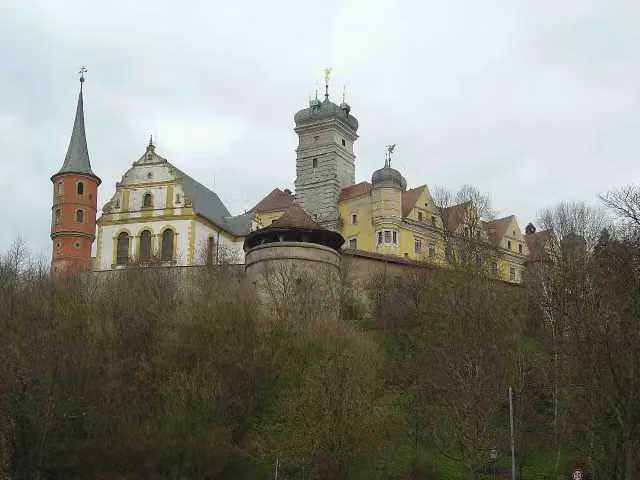
Along the way you pass König-Ludwig-Aussichtsturm, Schloss Schwarzenberg and Stadmuseum.
Can I download this route as a GPX file?
Yes. Sign in with your Outdoor Pitstop account and choose Download GPX at the top of this page: 10 routes a month for free, unlimited with Pro.
Starting point
More routes from this place
Route data © OpenStreetMap contributors





