 Outdoor Pitstop
Cycle route · Rosendahl · Updated on 14 November 2026
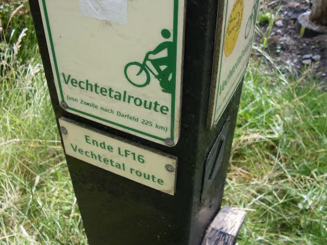
Vechtetalroute / Vechtdalroute cycle route
Vechtetalroute / Vechtdalroute is a cycle route of 242 km from Rosendahl. Along the way you'll find 411 benches, 13 water fountains and refill points, 11 public toilets and 3 bike pumps.
i
i
i
The route step by step
From start to finish, with what you pass along the way and the distance in between.
- 242 km
- ± 2:40 h per stage
- ↑ 146 m · ↓ 232 m
- Moderate per stage
- From A to B
- Regional route
Start in Rosendahl
0 km8.4 km · 16 benches
Public toilet and bike pump
8.4 km4.6 km · 7 benches
Bike pump
12.9 km661 m · 13 benches

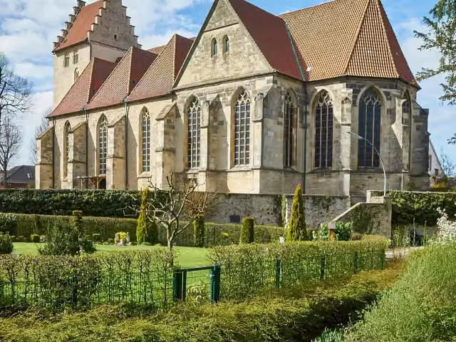
St. Brictius
13.6 kmAttraction
25 km · 42 benches
Water point and bike pump
38.6 km21.2 km · 16 benches
Water point
59.8 km19.3 km · 6 benches
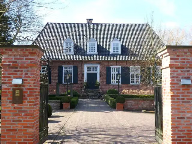
Gut Brandlecht
79.1 kmCastle
2.5 km
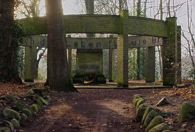
Kriegerdenkmal Hesepe
81.6 kmMemorial
1.9 km
2 public toilets
83.4 km178 m
Public toilet
83.6 km2.8 km · 10 benches
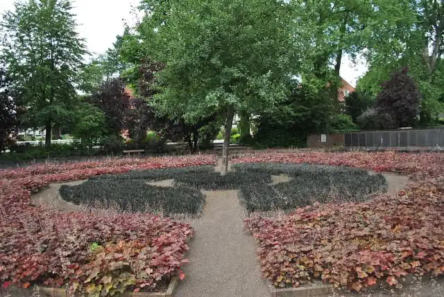
Schwarzer Garten
86.5 kmMemorial
3.4 km · 2 benches
Franzosenfriedhof
89.9 kmMemorial
61 km · 51 benches
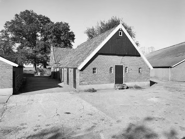
Loozensche Linie
150.9 kmArchaeological site
397 m · 2 benches
Observation tower
151.3 kmPublic toilet
6.8 km · 11 benches
Water point
158.1 km16 km · 20 benches
Public toilet
174.1 km10.3 km · 9 benches
Public toilet and water point
184.4 km6.6 km · 20 benches
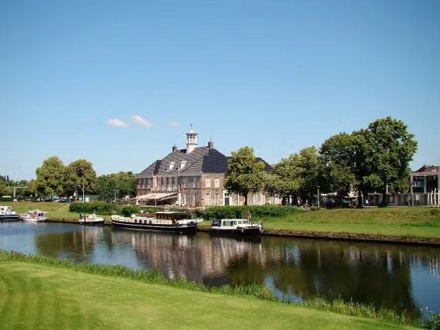
Nationaal Tinnen Figuren Museum
191 kmMuseum
2.3 km · 18 benches
3 water fountains and refill points
193.3 km241 m
2 water fountains and refill points
193.5 km172 m
Public toilet
193.7 km311 m
Water point
194 km26.8 km · 50 benches
Water point
220.7 km6 km · 5 benches
Public toilet
226.7 km10 km · 49 benches
Public toilet and water point
236.7 km443 m · 2 benches
Public toilet
237.2 km613 m · 34 benches
Water point
237.8 km4.2 km · 28 benches
Finish
242 km
Longest stretch without a toilet: 75 kmBetween 8.4 km and 83.4 km there is no public toilet within 100 m of the route.
The route with the water points, toilets and sights within 100 m of it.
8 sights along the way
In the order you pass them. With the Outdoor Pitstop app you hear their story on the spot.
i
Photo: Günter Seggebäing, Coesfeld · Wikimedia Commons · CC BY-SA 3.0View the photo on Wikimedia CommonsAttraction · after 13.6 km
i
Photo: Nordhörnchen · Wikimedia Commons · CC BY-SA 3.0View the photo on Wikimedia CommonsCastle · after 79.1 km
i
Photo: Roger Harazim · Wikimedia Commons · CC BY-SA 3.0View the photo on Wikimedia CommonsMemorial · after 81.6 km
i
Photo: JuLei · Wikimedia Commons · CC BY-SA 3.0View the photo on Wikimedia CommonsMemorial · after 86.5 km

Memorial · after 89.9 km
i
Photo: J.P. de Koning · Wikimedia Commons · CC BY-SA 4.0View the photo on Wikimedia CommonsArchaeological site · after 150.9 km
Observation tower · after 151.3 km
i
Photo: Richard Broekhuijzen · Wikimedia Commons · CC BY-SA 3.0View the photo on Wikimedia CommonsMuseum · after 191 km
Stages (6)
Elevation and terrain
- Up
- ↑ 146 m
- Down
- ↓ 232 m
- Highest point
- 111 m
- Lowest point
- 1 m
- 5-10% slope · 104 m
- 10-15% slope · 250 m
Elevation from Copernicus GLO-30 (European Union and ESA), smoothed.
produced using Copernicus WorldDEM-30 © DLR e.V. 2010-2014 and © Airbus Defence and Space GmbH 2014-2018 provided under COPERNICUS by the European Union and ESA; all rights reserved
Way types
242 km in total- Road: 94.6 km
- Cycle path: 54.2 km
- Path: 39.9 km
- Street: 35.5 km
- Track: 14.1 km
- Footpath (walk your bike): 1.8 km
- Busy road: 1 km
- Unknown: 125 m
Surfaces
242 km in total- Asphalt: 139.5 km
- Paved: 59.4 km
- Gravel: 11.1 km
- Natural: 3.1 km
- Unknown: 28.1 km
About the cycle route Vechtetalroute / Vechtdalroute
Updated on 14 November 2026, with data from OpenStreetMap, the AHN and Copernicus.
Where do you cycle?
Vechtetalroute / Vechtdalroute is a cycle route of 242 km that starts in Rosendahl. It does not end where it starts. You start in Darfeld and finish in Zwolle. Along the way you pass St. Brictius (after 13.6 km), Gut Brandlecht (after 79.1 km) and Kriegerdenkmal Hesepe (after 81.6 km).
How hard is the route?
You climb 146 m in total and descend 232 m. Allow ± 2:40 h per stage, without breaks. Per stage the level is moderate.
What roads do you cycle on?
The longest part is road (94.6 km), cycle path (54.2 km) and path (39.9 km). Of the surface, 139.5 km asphalt and 59.4 km paved. For 28.1 km the surface is not known.
Pitstops along the way
Within 100 metres of the route there are 411 benches, 13 water fountains and refill points, 11 public toilets and 3 bike pumps. The longest stretch without a toilet is 75 km. The Outdoor Pitstop app navigates you there.
This is the Dutch part of the Vechtetalroute / Vechtdalroute, a cycle route along the Vecht from Darfeld in Germany to Zwolle. In the Netherlands it covers about 107 km in two stages: Emlichheim to Ommen and Ommen to Zwolle. You ride by way of De Haandrik, Gramsbergen and Hardenberg to Mariënberg, across the Junne and Vilsteren estates, past the Loozensche Linie and through Ommen and Dalfsen to Zwolle. Almost half is cycle path and it is flat. The route is run by Grafschaft Bentheim Tourismus and Vechtdal Overijssel. We know of seven toilets and eleven water taps on the way.
Cycle routes nearby
6- EuroVelo 2 - Germany part 1Hard · From A to B201.3 km
- D-Netz Route 3Hard · From A to B69.1 km
- Europaradweg R1 - Abschnitt Deutschland Teil 1Hard · From A to B201.3 km
- RadBahn MünsterlandModerate · From A to B48.6 km
- SandsteinrouteHard · Circular ride155.9 km
- Berkelroute - HauptrouteEasy · From A to B17.1 km
Sights nearby
Within 10 km of the route, best known first.
- 1
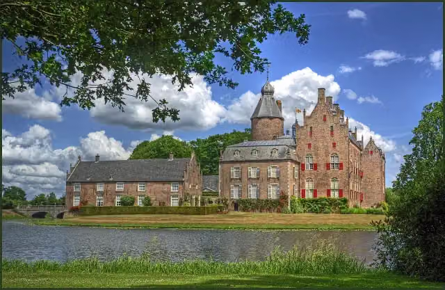 Kasteel RechterenCastle · 1.2 km from the route
- 2
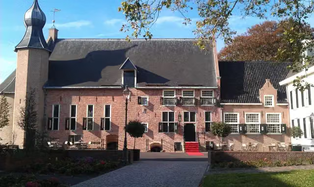 Kasteel van CoevordenCastle · 4.9 km from the route
- 3
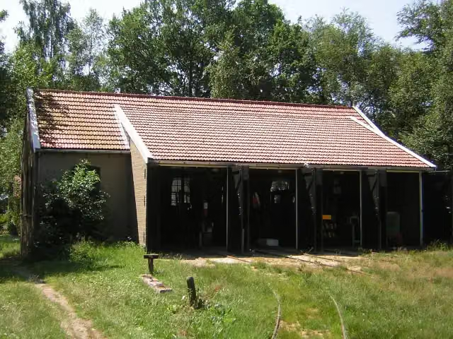 Industrieel Smalspoor MuseumMuseum · 7.2 km from the route
- 4
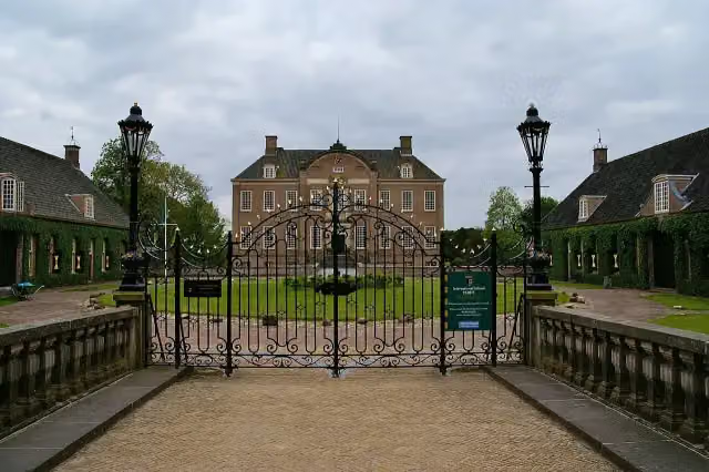 Kasteel EerdeCastle · 3.7 km from the route
- 5
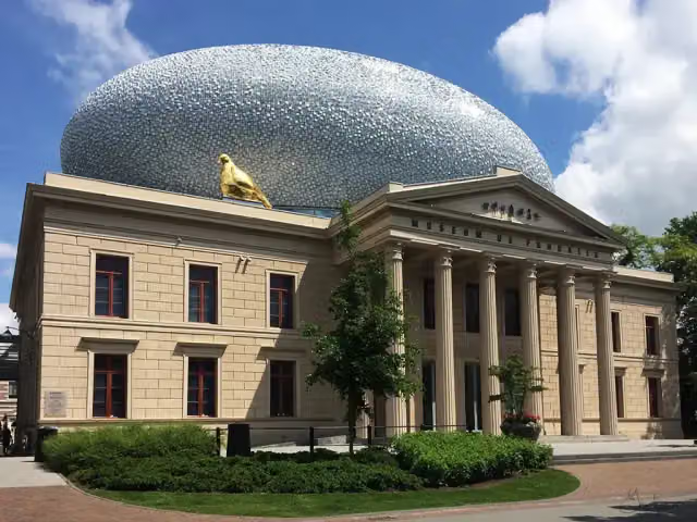 Museum de Fundatie / Paleis aan de BlijmarktMuseum · 110 m from the route
- 6
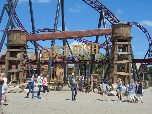 Gold RushAttraction · 5.6 km from the route
- 7
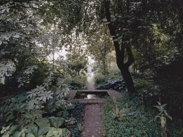 Tuinen Mien RuysAttraction · 6.7 km from the route
- 8
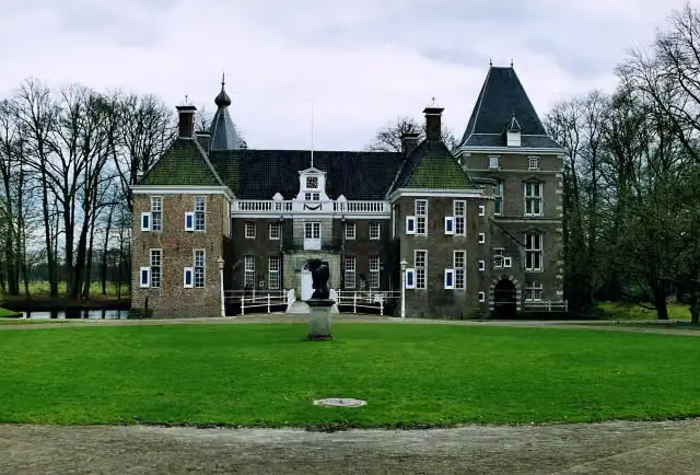 Kasteel het NijenhuisCastle · 8.3 km from the route
- 9
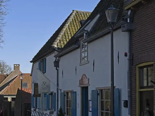 Anton Pieck MuseumMuseum · 1.6 km from the route
- 10
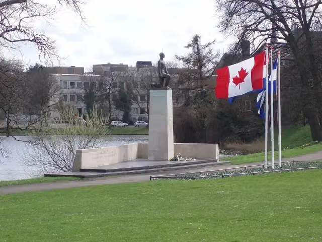 Monument voor de gevallenen 1940-1945Memorial · 466 m from the route
- 11
 Red Bandits AdventureAttraction · 5.6 km from the route
- 12
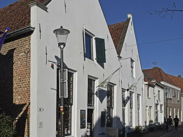 Voerman Museum HattenMuseum · 1.6 km from the route
- 13
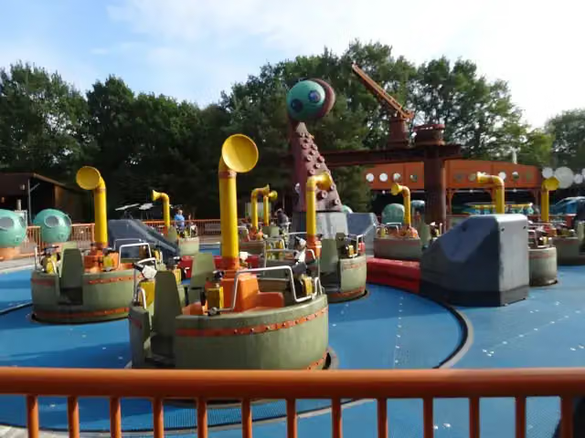 Expedition NautilusAttraction · 5.2 km from the route
- 14
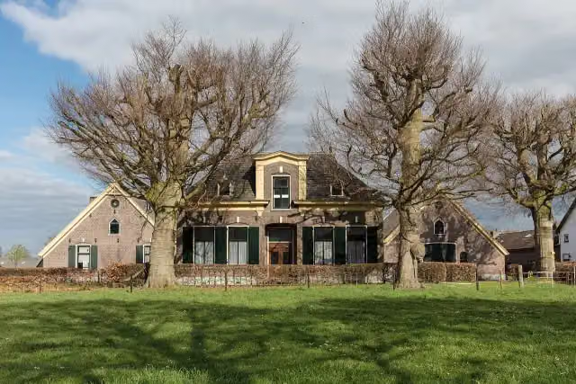 ZuivelmuseumMuseum · 6.9 km from the route
- 15
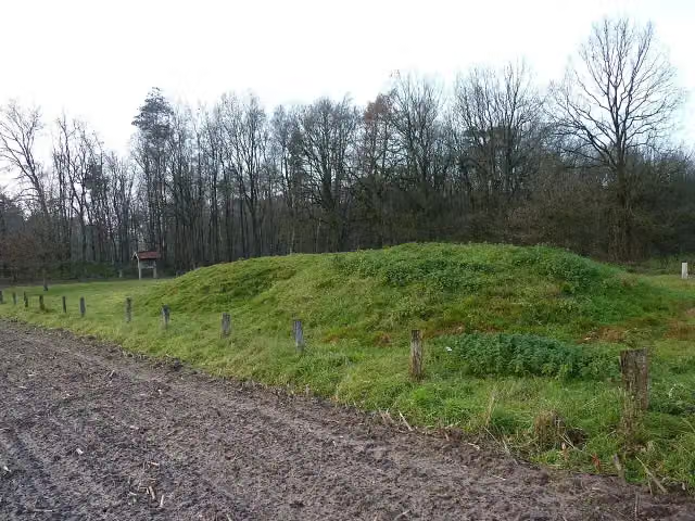 O2 ManderArchaeological site · 6.8 km from the route
- 16
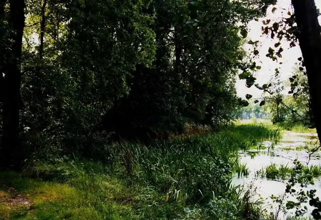 De HunenborgArchaeological site · 9.5 km from the route
- 17
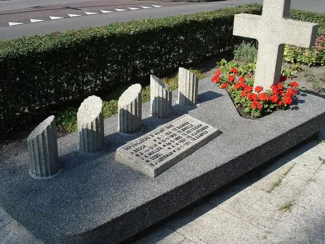 Monument aan de MeppelerstraatwegMemorial · 1.6 km from the route
- 18
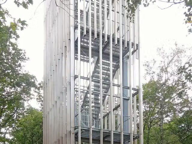 Uitkijktoren de StokteObservation tower · 691 m from the route
- 19
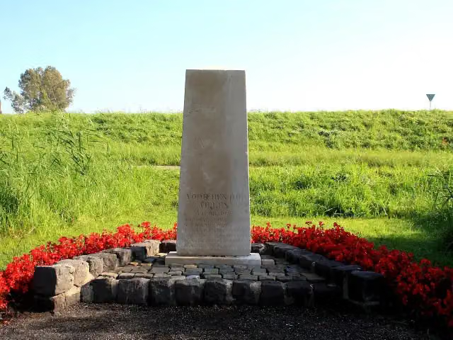 FusillademonumentMemorial · 1.4 km from the route
- 20
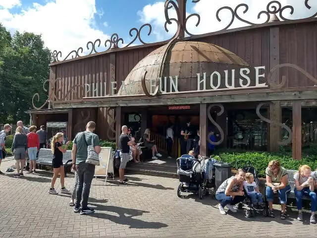 Phileas Fun HouseAttraction · 5.3 km from the route
- 21
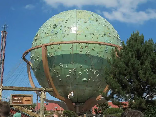 ApolloAttraction · 5.3 km from the route
- 22
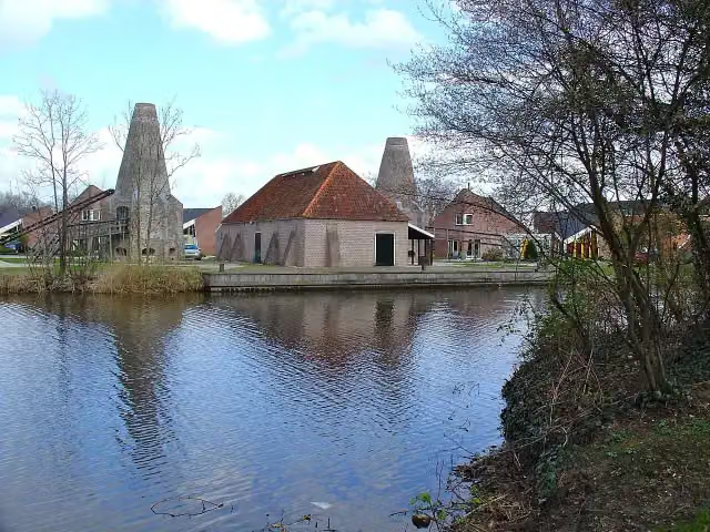 Historisch centrum KalkovensMuseum · 4.7 km from the route
- 23
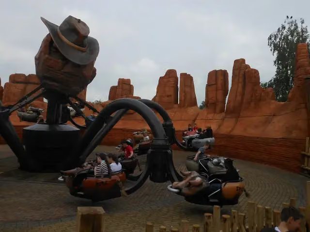 El ToritoAttraction · 5.3 km from the route
- 24
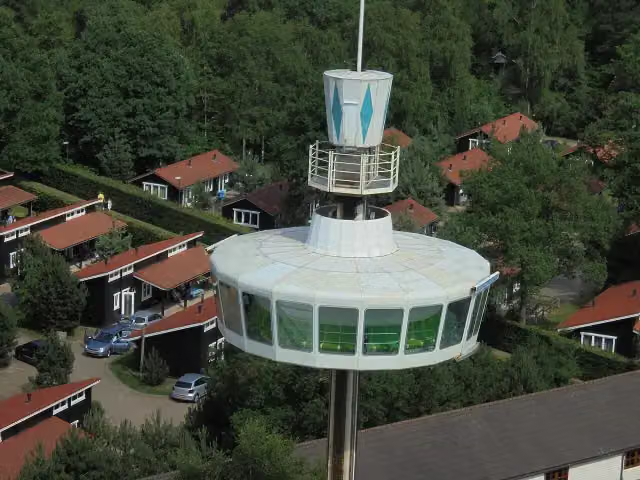 Sky TowerAttraction · 5.4 km from the route
- 25
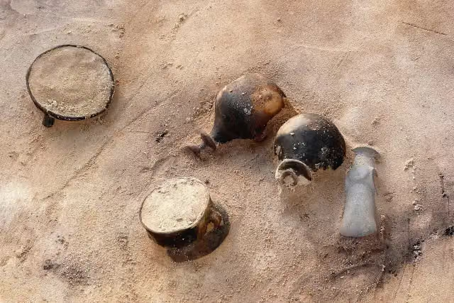 Trechterbeker grafveldArchaeological site · 703 m from the route
Explore more
More cycle routes around Rosendahl
Frequently asked questions
How long is Vechtetalroute / Vechtdalroute?
Vechtetalroute / Vechtdalroute is 242 km long, in 6 parts of 40.3 km on average. Allow ± 2:40 h per part of riding: 15 km an hour, without breaks.
Is this route a circular ride?
No, the route runs from Darfeld to Zwolle.
Where does this route start?
The route starts in Rosendahl.
How hard is this route?
Moderate per stage, with 24 m per stage of climbing.
Are there toilets along this route?
Yes, there are 11 public toilets within 100 m of the route. The longest stretch without a toilet is 75 km.
Can you fill up with water along this route?
Yes, there are 13 water fountains and refill points within 100 m of the route.
What is there to see along this route?
Along the way you pass St. Brictius, Gut Brandlecht and Kriegerdenkmal Hesepe.
Can I download this route as a GPX file?
Yes. Sign in with your Outdoor Pitstop account and choose Download GPX at the top of this page: 10 routes a month for free, unlimited with Pro.
Starting point
More routes from this place
Route data © OpenStreetMap contributors





