 Outdoor Pitstop
Cycle route · Vreden · Updated on 14 November 2026
EuroVelo 2 - Germany part 1 cycle route
EuroVelo 2 - Germany part 1 is a cycle route of 201.3 km from Vreden. Along the way you'll find 571 benches, 5 water fountains and refill points, 9 public toilets, 6 bike pumps and 3 honesty boxes and farm vending machines.
i
i
i
The route step by step
From start to finish, with what you pass along the way and the distance in between.
- 201.3 km
- ± 13:25 h
- ↑ 393 m · ↓ 352 m
- Hard
- From A to B
- International route
- Colour of the signs
Start in Vreden
0 km318 m · 2 benches
Bike pump
318 m3.6 km · 8 benches

Konventon von Burlo
4 kmMemorial
599 m
Observation tower
4.6 kmObservation tower
7.6 km · 4 benches
kult Westmünsterland and 1 more
12.1 kmScherenschnitt Museum, public toilet and water point
15.5 km · 48 benches
Public toilet
27.6 km38.9 km · 27 benches
Honesty box
66.5 km3.1 km · 3 benches
Schloss Darfeld
69.6 kmAttraction
18.5 km · 12 benches
Baumberger-Sandstein- Museum
88 kmMuseum
598 m · 18 benches
Water point and bike pump
88.6 km5.6 km · 21 benches
Honesty box
94.3 km10.2 km · 11 benches
Haus Vögeding
104.4 kmAttraction
1.5 km · 4 benches
Haus Rüschhaus
105.9 kmMuseum
4.1 km · 6 benches
Public toilet and bike pump
110.1 km2 km · 20 benches
Annette von Droste-Hülshoff and 1 more
112.1 kmJulius Otto Grimm
490 m · 21 benches
Public toilet and water point
112.6 km177 m · 11 benches
Zwinger
112.8 kmAttraction
1.2 km · 21 benches
Public toilet
114 km1 km · 25 benches
Bike pump
115.1 km3.3 km · 12 benches
Public toilet
118.3 km6.3 km · 6 benches
Bike pump
124.6 km14.3 km · 51 benches
Bike pump
138.9 km6.1 km · 8 benches
Public toilet
145 km6 km · 21 benches
Water point
151 km9.2 km · 8 benches
Motorcycle Museum Heiner Beckmann
160.2 kmMuseum
27.2 km · 64 benches
Honesty box
187.3 km1.2 km · 61 benches
Public toilet and water point
188.5 km6.6 km · 72 benches
Public toilet
195.2 km6.2 km · 6 benches
Finish
201.3 km
Longest stretch without a toilet: 82.5 kmBetween 27.6 km and 110.1 km there is no public toilet within 100 m of the route.
The route with the pitstops and sights within 100 m of it.
12 sights along the way
In the order you pass them. With the Outdoor Pitstop app you hear their story on the spot. 4 more along the route are on the map.

Memorial · after 4 km
Observation tower · after 4.6 km
i
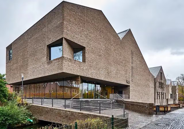
Photo: Günter Seggebäing, Coesfeld · Wikimedia Commons · CC BY-SA 3.0View the photo on Wikimedia CommonsMuseum · after 12.1 km
Museum · after 12.2 km
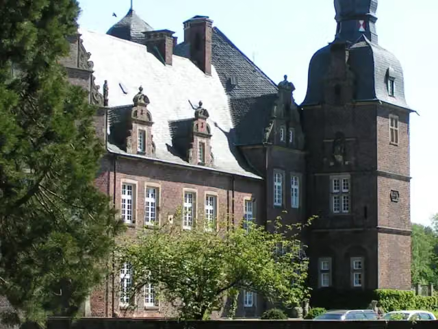
i
Photo: Corradox · Wikimedia Commons · CC BY-SA 3.0View the photo on Wikimedia CommonsAttraction · after 69.6 km
Museum · after 88 km
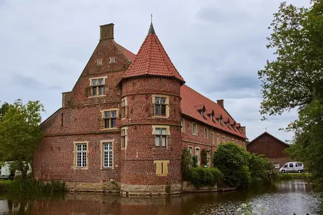
i
Photo: Günter Seggebäing, Coesfeld · Wikimedia Commons · CC BY-SA 3.0View the photo on Wikimedia CommonsAttraction · after 104.4 km
i
Photo: Tobias Rad · Wikimedia Commons · CC BY-SA 3.0View the photo on Wikimedia CommonsMuseum · after 105.9 km
Elevation and terrain
- Up
- ↑ 393 m
- Down
- ↓ 352 m
- Highest point
- 140 m
- Lowest point
- 31 m
Nowhere steeper than 5%.
Elevation from Copernicus GLO-30 (European Union and ESA), smoothed.
produced using Copernicus WorldDEM-30 © DLR e.V. 2010-2014 and © Airbus Defence and Space GmbH 2014-2018 provided under COPERNICUS by the European Union and ESA; all rights reserved
Way types
201.3 km in total- Road: 109.2 km
- Path: 41.4 km
- Street: 29.9 km
- Track: 13.5 km
- Cycle path: 3.4 km
- Footpath (walk your bike): 2.7 km
- Busy road: 871 m
Surfaces
201.3 km in total- Asphalt: 154.7 km
- Gravel: 20.6 km
- Paved: 10.3 km
- Unpaved: 125 m
- Unknown: 15.1 km
About the cycle route EuroVelo 2 - Germany part 1
Updated on 14 November 2026, with data from OpenStreetMap, the AHN and Copernicus.
Where do you cycle?
EuroVelo 2 - Germany part 1 is a cycle route of 201.3 km that starts in Vreden. It does not end where it starts. Along the way you pass Konventon von Burlo (after 4 km), Observation tower (after 4.6 km) and kult Westmünsterland (after 12.1 km).
How hard is the route?
You climb 393 m in total and descend 352 m. Allow ± 13:25 h, without breaks. The level is hard.
What roads do you cycle on?
The longest part is road (109.2 km), path (41.4 km) and street (29.9 km). Of the surface, 154.7 km asphalt and 20.6 km gravel. For 15.1 km the surface is not known.
Pitstops along the way
Within 100 metres of the route there are 571 benches, 5 water fountains and refill points, 9 public toilets, 6 bike pumps and 3 honesty boxes and farm vending machines. You can fill your bottle after 12.2 km, after 88.6 km, after 112.6 km, after 151 km and after 188.7 km. The longest stretch without a toilet is 82.5 km. The Outdoor Pitstop app navigates you there.
Part of EuroVelo 2 - Hauptstadt-Route - Teil Deutschland
Website of the routeCycle routes nearby
6- FlamingorouteHard · Circular ride329 km
- D-Netz Route 3Moderate · From A to B57.3 km
- EuroVelo 2 - Nederland part 2Hard · From A to B144.5 km
- Europaradweg R1 - Abschnitt Deutschland Teil 1Hard · From A to B201.3 km
- Euroroute R1 - Meijendel - ZwillbrockHard · From A to B263.9 km
- Midden-Nederlandroute - 08 - Borculo - EnschedeHard · From A to B64.2 km
Sights nearby
Within 10 km of the route, best known first.
- 1
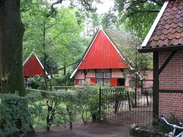 Achterhoeks OpenluchtmuseumMuseum · 7.5 km from the route
- 2
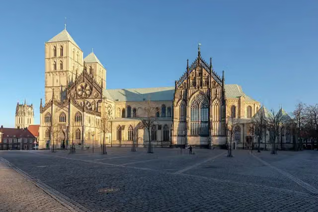 St.-Paulus-DomAttraction · 481 m from the route
- 3
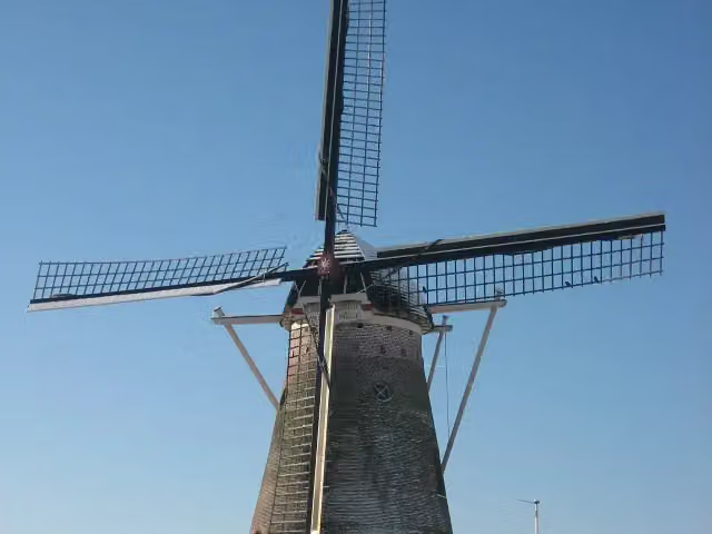 SevinkmolenAttraction · 4.6 km from the route
- 4
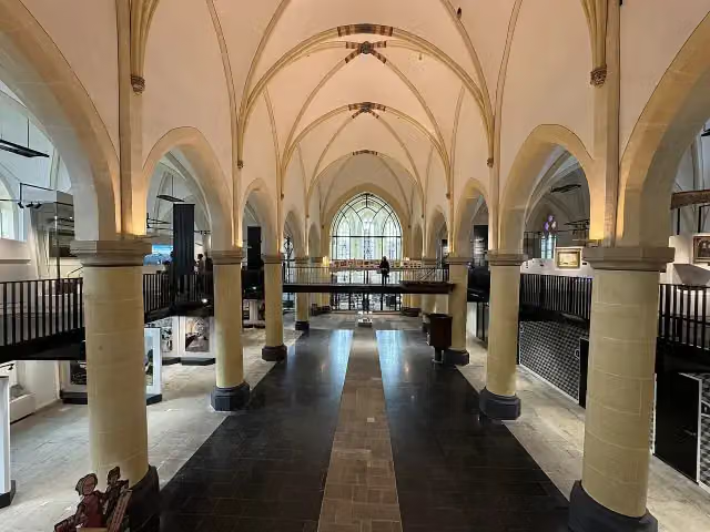 Nationaal Museum Tachtigjarige OorlogMuseum · 4.9 km from the route
- 5
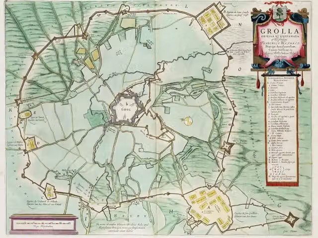 Engelse SchansArchaeological site · 8.1 km from the route
- 6
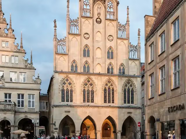 Historisches RathausAttraction · 435 m from the route
- 7
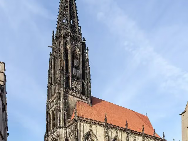 St. LambertiAttraction · 364 m from the route
- 8
 FriedenskastanieMemorial · 3 km from the route
- 9
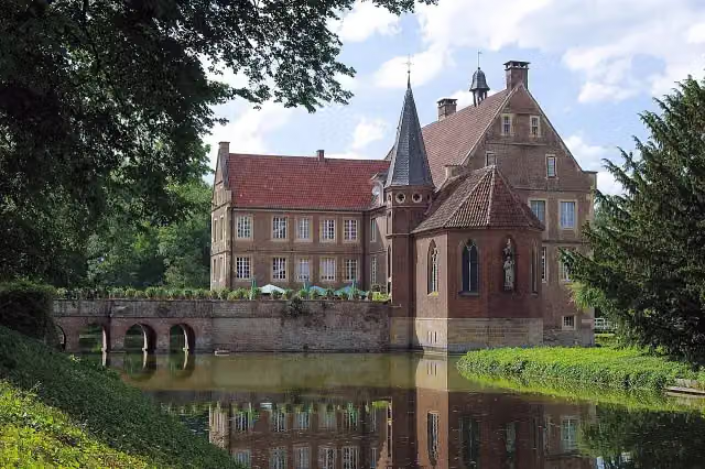 Burg HülshoffCastle · 104 m from the route
- 10
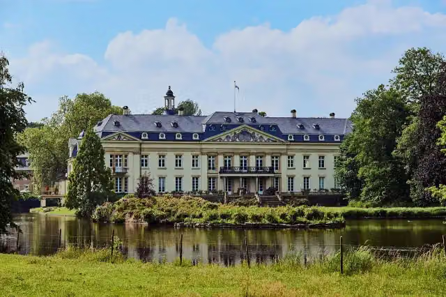 Schloss VarlarAttraction · 141 m from the route
- 11
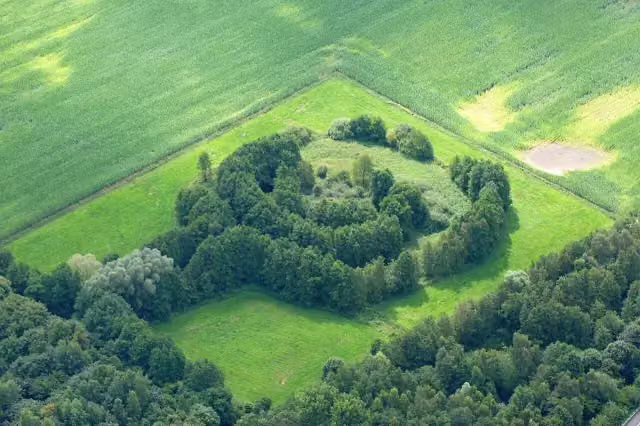 BarenborgAttraction · 156 m from the route
- 12
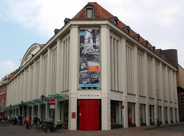 StadtmuseumMuseum · 179 m from the route
- 13
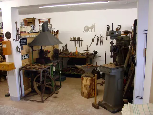 Heimatmuseum MarienfeldMuseum · 207 m from the route
- 14
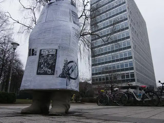 münsters GESCHICHTE VON UNTENMemorial · 210 m from the route
- 15
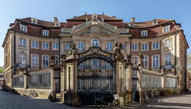 ErbdrostenhofAttraction · 210 m from the route
- 16
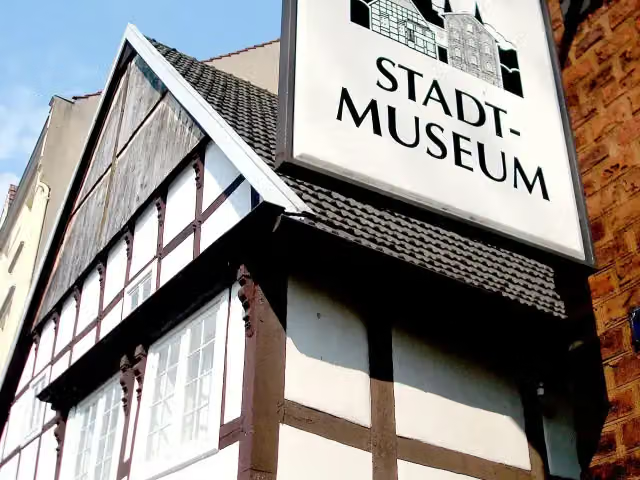 StadtmuseumMuseum · 247 m from the route
- 17
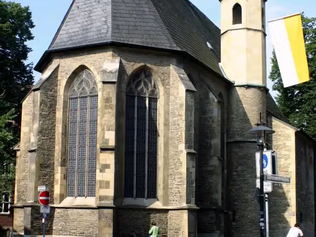 St. ServatiiAttraction · 256 m from the route
- 18
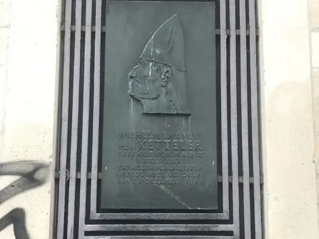 Wilhelm Emanuel von KettelerMemorial · 257 m from the route
- 19
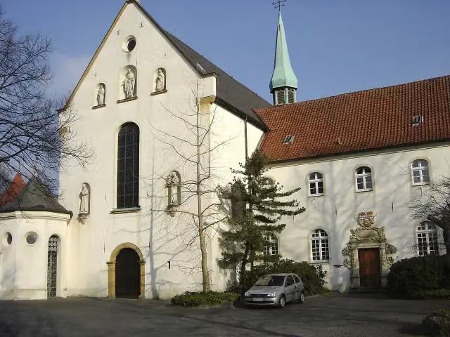 Westpreußisches LandesmuseumMuseum · 270 m from the route
- 20
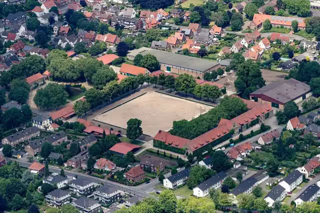 Nordrhein-Westfälisches LandgestütAttraction · 306 m from the route
- 21
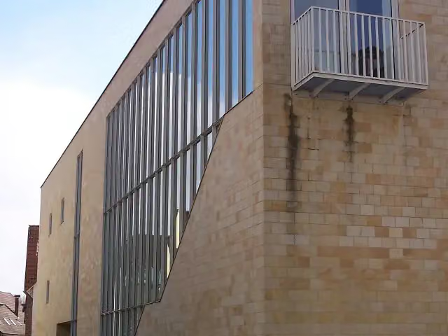 RelígioMuseum · 380 m from the route
- 22
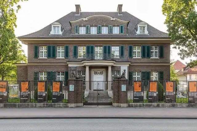 Villa ten HompelMuseum · 388 m from the route
- 23
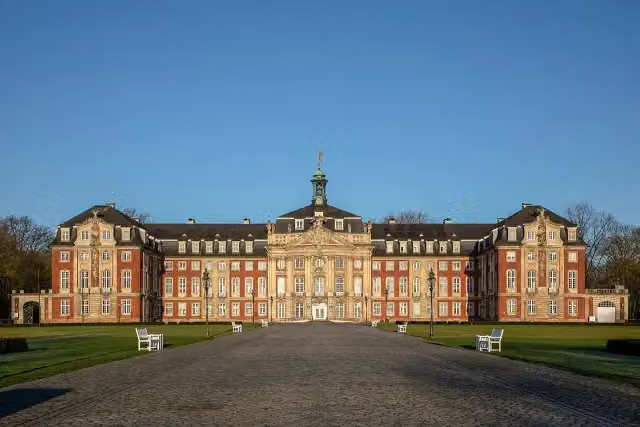 Fürstbischöfliches SchlossAttraction · 392 m from the route
- 24
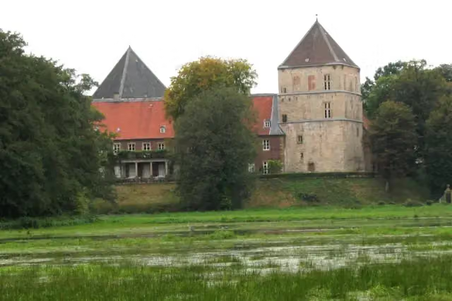 Schloss RhedaCastle · 407 m from the route
- 25
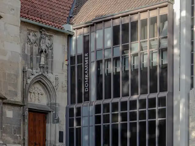 DomkammerMuseum · 425 m from the route
Explore more
More cycle routes around Vreden
Frequently asked questions
How long is EuroVelo 2 - Germany part 1?
EuroVelo 2 - Germany part 1 is 201.3 km long. Allow ± 13:25 h of riding: 15 km an hour, without breaks.
Is this route a circular ride?
No, the route starts and ends at different spots.
Where does this route start?
The route starts in Vreden.
How hard is this route?
Hard, with 393 m of climbing.
Are there toilets along this route?
Yes, there are 9 public toilets within 100 m of the route. The longest stretch without a toilet is 82.5 km.
Can you fill up with water along this route?
Yes, there are 5 water fountains and refill points within 100 m of the route.
What is there to see along this route?
Along the way you pass Konventon von Burlo, Observation tower and kult Westmünsterland.
Can I download this route as a GPX file?
Yes. Sign in with your Outdoor Pitstop account and choose Download GPX at the top of this page: 10 routes a month for free, unlimited with Pro.
Starting point
More routes from this place
Route data © OpenStreetMap contributors





