 Outdoor Pitstop
Cycle route · Karlsruhe · Updated on 14 November 2026
Schwarzwald-Radweg cycle route
Schwarzwald-Radweg is a cycle route of 377.4 km from Karlsruhe. Along the way you'll find 905 benches, 30 water fountains and refill points, 35 public toilets, 4 bike pumps and 1 honesty box.
i
i
The route step by step
From start to finish, with what you pass along the way and the distance in between.
- 377.4 km
- ± 25:10 h
- ↑ 6,699 m · ↓ 6,522 m
- Hard
- From A to B
- Regional route
Start in Karlsruhe
0 kmAt the start: public toilet.
1.6 km · 13 benches
Water point
1.6 km17.2 km · 41 benches
Public toilet
18.8 km1 km · 7 benches
Public toilet
19.8 km10.3 km · 18 benches
Public toilet
30.1 km3.4 km · 11 benches
Water point
33.5 km6.9 km · 21 benches
Water point
40.5 km1.3 km · 17 benches

Neusatzer Pfütz
41.7 kmObservation tower
2.1 km · 10 benches
Honesty box
43.8 km625 m
Wasserturm
44.4 kmObservation tower
555 m · 4 benches
Bike pump
45 km7.7 km · 23 benches
Public toilet
52.7 km6.3 km · 14 benches
Public toilet and water point
59 km2.1 km · 20 benches
Water point
61.1 km1.9 km · 6 benches
Public toilet
63 km389 m · 5 benches
Public toilet and water point
63.4 km2 km · 5 benches
Water point
65.4 km9.2 km · 49 benches
2 water fountains and refill points
74.5 km234 m · 3 benches
Water point
74.8 km518 m · 5 benches
Public toilet and bike pump
75.3 km187 m · 12 benches
Public toilet
75.5 km930 m · 16 benches
Public toilet
76.4 km19 km · 40 benches
Water point
95.4 km2.5 km · 3 benches
Public toilet
97.8 km4.9 km · 9 benches
Water point and bike pump
102.8 km545 m · 6 benches
Water point
103.3 km833 m
Public toilet
104.1 km5.4 km · 14 benches
5 public toilets
109.5 km8.6 km · 17 benches
Public toilet
118.1 km3.6 km · 16 benches
Water point
121.7 km
Show the other 35 steps
584 m
Water point
122.3 km1.9 km · bench
Water point
124.2 km27.7 km · 20 benches
Public toilet
151.9 km24.7 km · 23 benches
Fürstenbergisches Schloss Wolfach
176.7 kmCastle
220 m
Public toilet
176.9 km5.3 km · 16 benches
Bike pump
182.2 km7.9 km · 57 benches
Public toilet
190.1 km226 m · 18 benches
Schwarzwälder Trachtenmuseum
190.3 kmPublic toilet
3.5 km · 23 benches
Public toilet
193.8 km10.8 km · 20 benches
Huberfelsen
204.5 kmViewpoint
10.2 km · 4 benches
Public toilet
214.7 km948 m · 7 benches
Public toilet
215.7 km17.7 km · 19 benches
Public toilet
233.4 km12.6 km · 18 benches
2 public toilets
245.9 km1.5 km · 12 benches
Public toilet
247.4 km10 km · 14 benches
Münster St. Jakobus
257.4 kmAttraction
252 m · 5 benches
Public toilet
257.6 km389 m · 7 benches
Water point
258 km4.1 km · 16 benches
2 water fountains and refill points
262.1 km235 m · 3 benches
Public toilet
262.3 km20.2 km · 41 benches
Public toilet
282.6 km177 m · bench
Haus der Natur
282.8 kmMuseum
1.6 km · 13 benches
Water point
284.3 km2 km · 10 benches
Water point
286.4 km8.5 km · 22 benches
Public toilet
294.8 km4.9 km · 14 benches
Water point
299.8 km921 m · 4 benches
Water point
300.7 km1.6 km · 3 benches
Water point
302.3 km1.7 km · 2 benches
Water point
304 km20.6 km · 19 benches
Water point
324.7 km16.7 km · 7 benches
Water point
341.3 km2.8 km
Water point
344.1 km2.6 km · bench
Water point
346.7 km3 km
Water point
349.7 km27.7 km · 78 benches
Finish
377.4 kmAt the finish: public toilet.
Longest stretch without a toilet: 82.4 kmBetween 294.8 km and 377.3 km there is no public toilet within 100 m of the route.
The route with the pitstops and sights within 100 m of it.
7 sights along the way
In the order you pass them. With the Outdoor Pitstop app you hear their story on the spot.

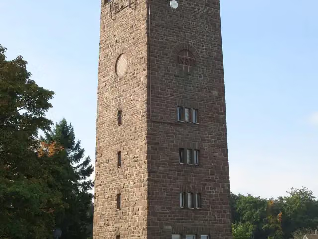
Observation tower · after 41.7 km
i
Photo: Stefan Karl · Wikimedia Commons · CC BY-SA 3.0View the photo on Wikimedia CommonsObservation tower · after 44.4 km
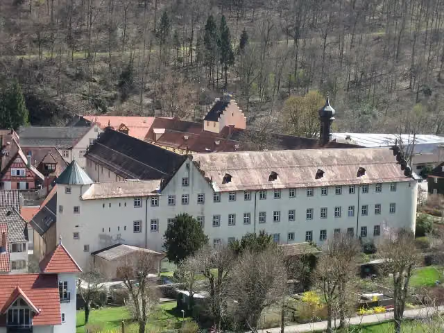
Castle · after 176.7 km
Museum · after 190.3 km
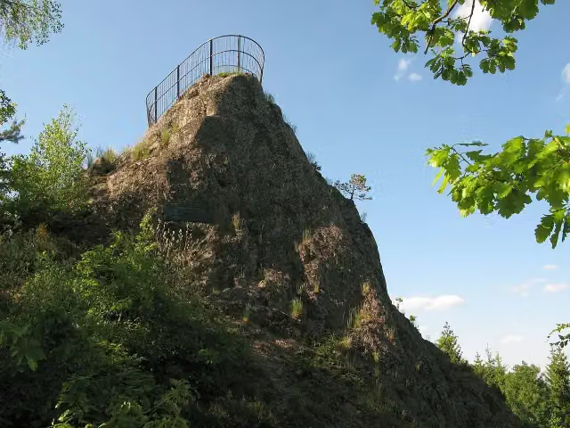
i
Photo: Adrian Thomale · Wikimedia Commons · CC BY-SA 3.0View the photo on Wikimedia CommonsViewpoint · after 204.5 km
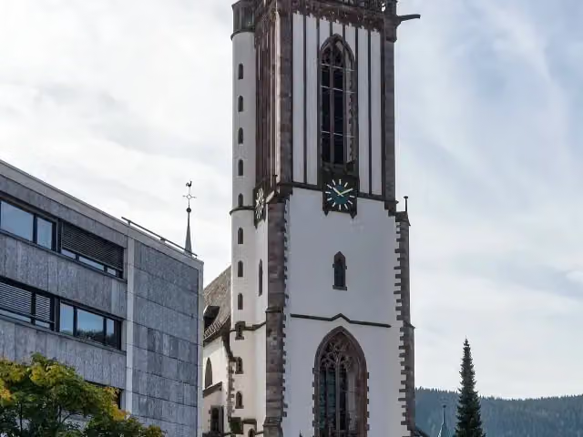
i
Photo: joergens.mi · Wikimedia Commons · CC BY-SA 3.0View the photo on Wikimedia CommonsAttraction · after 257.4 km
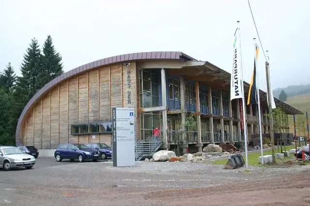
i
Photo: Till Westermayer from Freiburg, Germany · Wikimedia Commons · CC BY-SA 2.0View the photo on Wikimedia CommonsMuseum · after 282.8 km
Elevation and terrain
- Up
- ↑ 6,699 m
- Down
- ↓ 6,522 m
- Highest point
- 1,379 m
- Lowest point
- 117 m
- 5-10% slope · 66.4 km
- 10-15% slope · 1.9 km
Elevation from Copernicus GLO-30 (European Union and ESA), smoothed.
produced using Copernicus WorldDEM-30 © DLR e.V. 2010-2014 and © Airbus Defence and Space GmbH 2014-2018 provided under COPERNICUS by the European Union and ESA; all rights reserved
Way types
377.4 km in total- Track: 205.1 km
- Road: 71.9 km
- Street: 57.5 km
- Busy road: 21 km
- Path: 17 km
- Cycle path: 2.3 km
- Footpath (walk your bike): 1.3 km
Surfaces
377.4 km in total- Asphalt: 196.3 km
- Gravel: 117.4 km
- Paved: 11.8 km
- Unpaved: 3.4 km
- Natural: 1.2 km
- Unknown: 45.9 km
About the cycle route Schwarzwald-Radweg
Updated on 14 November 2026, with data from OpenStreetMap, the AHN and Copernicus.
Where do you cycle?
Schwarzwald-Radweg is a cycle route of 377.4 km that starts in Karlsruhe. It does not end where it starts. Along the way you pass Neusatzer Pfütz (after 41.7 km), Wasserturm (after 44.4 km) and Fürstenbergisches Schloss Wolfach (after 176.7 km).
How hard is the route?
You climb 6,699 m in total and descend 6,522 m. Allow ± 25:10 h, without breaks. The level is hard.
What roads do you cycle on?
The longest part is track (205.1 km), road (71.9 km) and street (57.5 km). Of the surface, 196.3 km asphalt and 117.4 km gravel. For 45.9 km the surface is not known.
Pitstops along the way
Within 100 metres of the route there are 905 benches, 30 water fountains and refill points, 35 public toilets, 4 bike pumps and 1 honesty box. The longest stretch without a toilet is 82.4 km. The Outdoor Pitstop app navigates you there.
Cycle routes nearby
6- Stromberg-Murrtal-RadwegHard · From A to B164.1 km
- Paneuropa Route - part Germany 1Hard · From A to B378.5 km
- RS13 - Radschnellweg Karlsruhe - RastattEasy · From A to B18.1 km
- Rundradweg PAMINA-Rheinpark NordHard · Circular ride90.9 km
- Badischer Weinradweg - Etappe 5: Ortenau NordModerate · From A to B47.8 km
- PAMINA Radweg RheinauenHard · Circular ride115.8 km
Sights nearby
Within 10 km of the route, best known first.
- 1
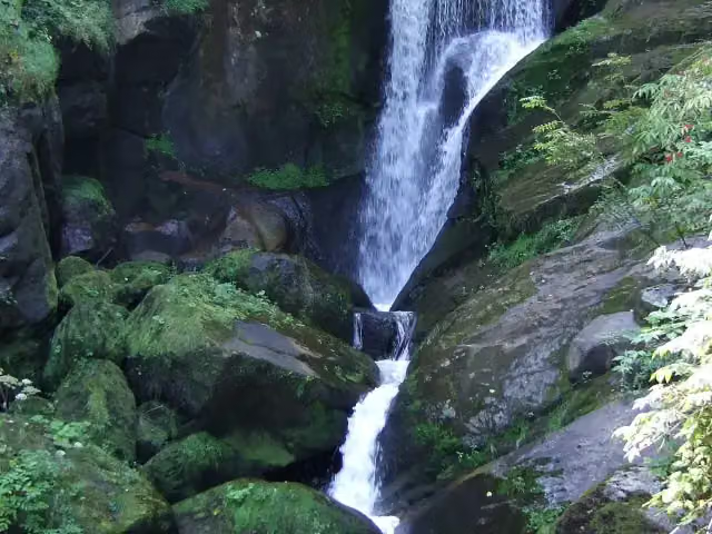 Triberger WasserfälleAttraction · 2.1 km from the route
- 2
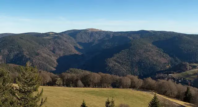 FeldbergViewpoint · 611 m from the route
- 3
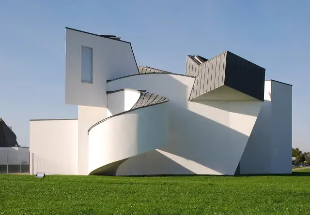 Vitra Design Museum, Frank Gehry (1989)Museum · 3.6 km from the route
- 4
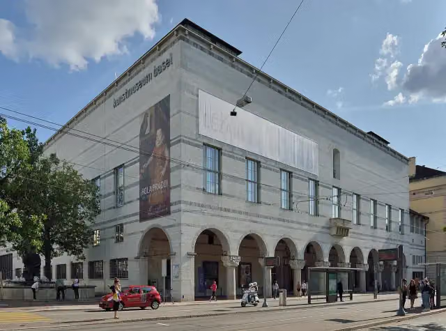 Kunstmuseum Basel | NeubauMuseum · 8.4 km from the route
- 5
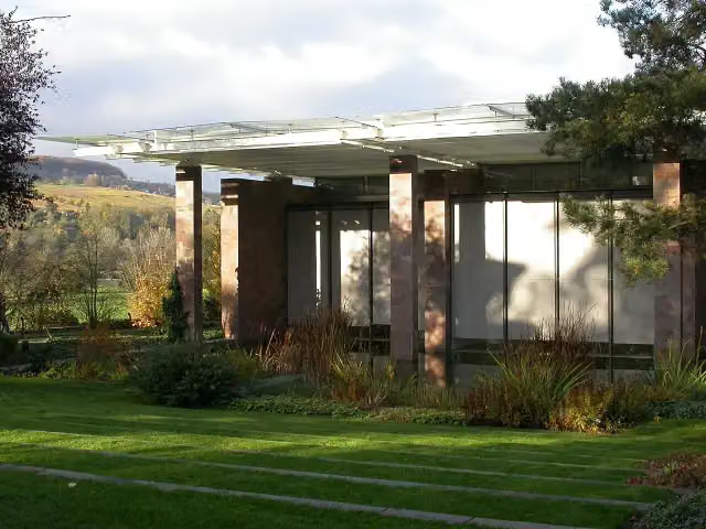 Fondation BeyelerMuseum · 3.1 km from the route
- 6
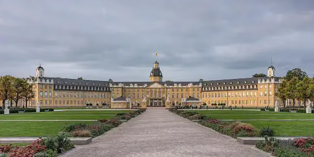 Karlsruhe PalaceCastle · 2.3 km from the route
- 7
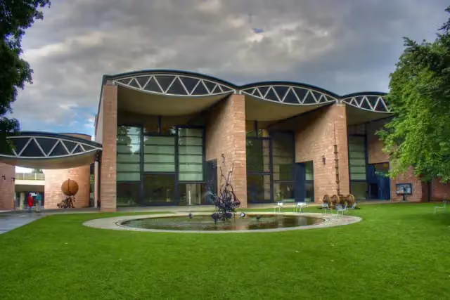 Museum TinguelyMuseum · 7.2 km from the route
- 8
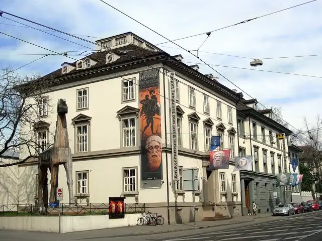 Antikenmuseum Basel und Sammlung LudwigMuseum · 8.5 km from the route
- 9
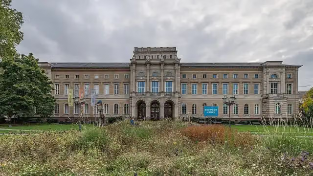 Staatliches Museum für NaturkundeMuseum · 1.7 km from the route
- 10
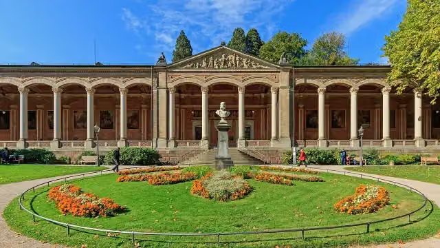 Trinkhalle (Brunnenraum)Attraction · 7.5 km from the route
- 11
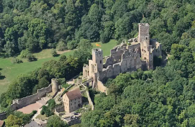 Rötteln CastleCastle · 654 m from the route
- 12
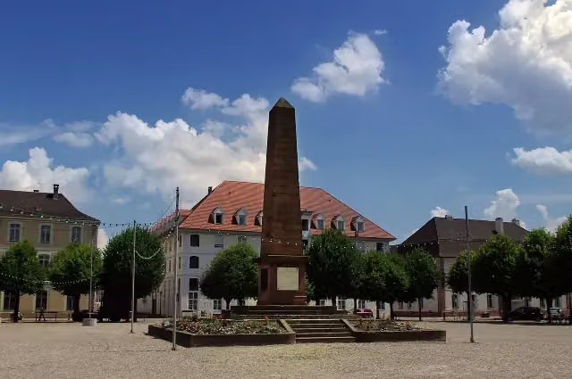 Monument du Général AbbatucciMemorial · 6.4 km from the route
- 13
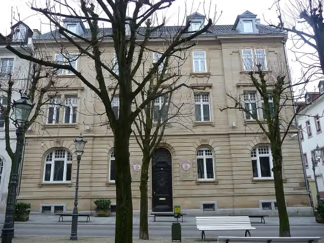 Fabergé-MuseumMuseum · 7 km from the route
- 14
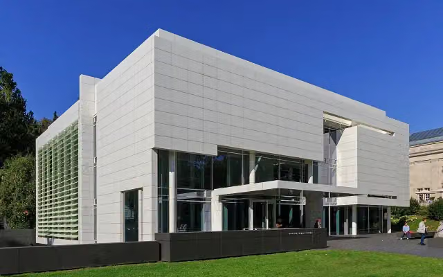 Museum Frieder BurdaMuseum · 7.4 km from the route
- 15
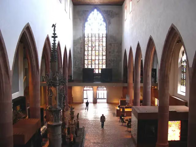 Basel Historical Museum – BarfüsserkircheMuseum · 8.6 km from the route
- 16
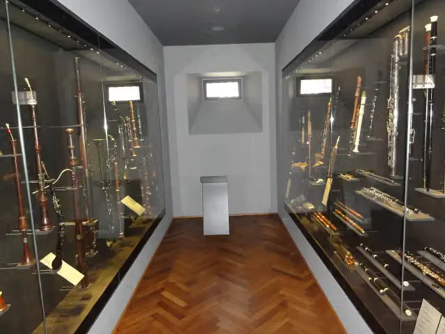 Basel Historical Museum – MusikmuseumMuseum · 8.7 km from the route
- 17
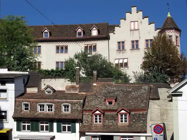 Medieval city wall tower in BaselArchaeological site · 8.8 km from the route
- 18
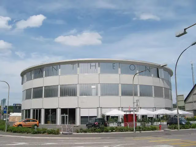 PantheonMuseum · 8.8 km from the route
- 19
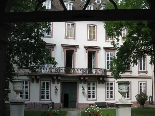 Basel Historical Museum – Haus zum KirschgartenMuseum · 8.8 km from the route
- 20
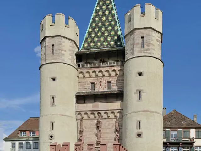 SpalentorAttraction · 8.8 km from the route
- 21
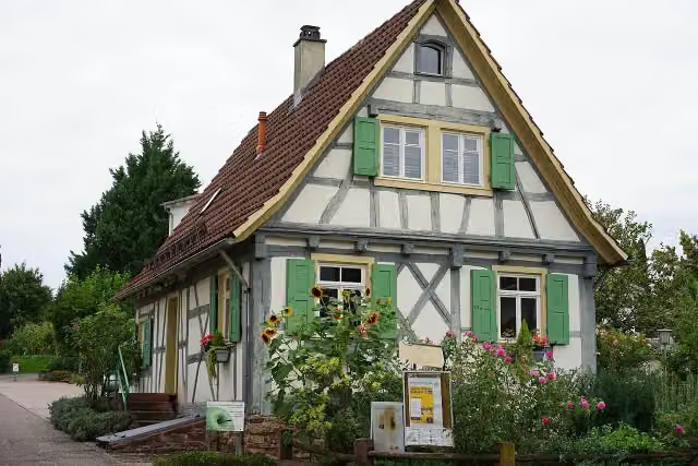 Haus ConrathAttraction · 180 m from the route
- 22
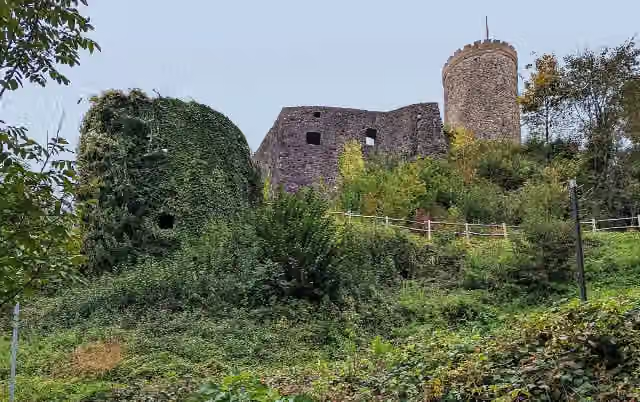 Burg HusenAttraction · 212 m from the route
- 23
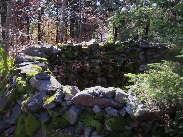 Burg StockburgArchaeological site · 245 m from the route
- 24
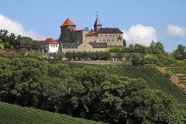 Schloss EbersteinCastle · 255 m from the route
- 25
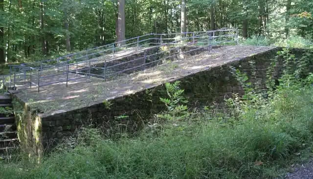 Burg LangensteinbachCastle · 255 m from the route
Explore more
More cycle routes around Karlsruhe
Frequently asked questions
How long is Schwarzwald-Radweg?
Schwarzwald-Radweg is 377.4 km long. Allow ± 25:10 h of riding: 15 km an hour, without breaks.
Is this route a circular ride?
No, the route starts and ends at different spots.
Where does this route start?
The route starts in Karlsruhe.
How hard is this route?
Hard, with 6,699 m of climbing.
Are there toilets along this route?
Yes, there are 35 public toilets within 100 m of the route. The longest stretch without a toilet is 82.4 km.
Can you fill up with water along this route?
Yes, there are 30 water fountains and refill points within 100 m of the route.
What is there to see along this route?
Along the way you pass Neusatzer Pfütz, Wasserturm and Fürstenbergisches Schloss Wolfach.
Can I download this route as a GPX file?
Yes. Sign in with your Outdoor Pitstop account and choose Download GPX at the top of this page: 10 routes a month for free, unlimited with Pro.
Starting point
More routes from this place
Route data © OpenStreetMap contributors





