 Outdoor Pitstop
Cycle route · Neu-Ulm · Updated on 14 November 2026
Schwäbische Kartoffel-Tour cycle route
Schwäbische Kartoffel-Tour is a cycle route of 217.6 km from Neu-Ulm that starts and ends at the same spot. Along the way you'll find 146 benches, 10 water fountains and refill points, 4 public toilets and 2 honesty boxes and farm vending machines.
i
i
i
The route step by step
From start to finish, with what you pass along the way and the distance in between.
- 217.6 km
- ± 14:30 h
- ↑ 1,068 m · ↓ 1,069 m
- Hard
- Circular ride
- Regional route
Start in Neu-Ulm
0 km9.4 km · 6 benches
Water point
9.4 km22.4 km · 38 benches

Archäologischer Park
31.8 kmArchaeological site
27.1 km · 9 benches
Water point
58.9 km37.3 km · 10 benches
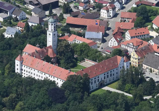
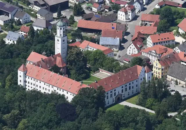
Fugger-Schloss Kirchheim
96.3 kmPublic toilet, water point and honesty box
2.2 km · 8 benches
Water point
98.4 km26.5 km · 19 benches
Brennburg
124.9 kmArchaeological site
4.2 km · 5 benches
Schloss Elmischwang
129.2 kmCastle
839 m
Water point
130 km6.7 km · 6 benches
Public toilet
136.7 km43.6 km · 25 benches
Public toilet
180.2 km8.4 km · 9 benches
3 water fountains and refill points
188.6 km417 m · bench
2 water fountains and refill points
189 km5.5 km · 2 benches
Public toilet
194.6 km8 km · bench
Museum für bildende Kunst
202.6 kmMuseum
3.1 km · 2 benches
Honesty box
205.7 km11.7 km · 5 benches
Observation tower
217.4 kmObservation tower
236 m
Back at the start
217.6 km
Longest stretch without a toilet: 96.3 kmBetween 0 km and 96.3 km there is no public toilet within 100 m of the route.
The route with the pitstops and sights within 100 m of it.
6 sights along the way
In the order you pass them. With the Outdoor Pitstop app you hear their story on the spot.

Archaeological site · after 31.8 km
i
Photo: Carsten Steger · Wikimedia Commons · CC BY-SA 4.0View the photo on Wikimedia CommonsAttraction · after 96.3 km
i
Photo: Mailtosap · Wikimedia Commons · CC BY-SA 4.0View the photo on Wikimedia CommonsArchaeological site · after 124.9 km
Castle · after 129.2 km
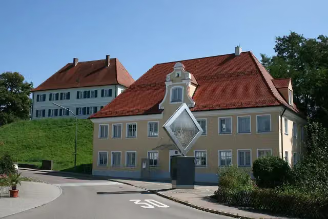
i
Photo: Dr. Eugen Lehle · Wikimedia Commons · CC BY-SA 3.0View the photo on Wikimedia CommonsMuseum · after 202.6 km
Observation tower · after 217.4 km
Elevation and terrain
- Up
- ↑ 1,068 m
- Down
- ↓ 1,069 m
- Highest point
- 677 m
- Lowest point
- 437 m
- 5-10% slope · 3.3 km
Elevation from Copernicus GLO-30 (European Union and ESA), smoothed.
produced using Copernicus WorldDEM-30 © DLR e.V. 2010-2014 and © Airbus Defence and Space GmbH 2014-2018 provided under COPERNICUS by the European Union and ESA; all rights reserved
Way types
217.6 km in total- Track: 76 km
- Road: 56.5 km
- Path: 42.1 km
- Street: 31.6 km
- Busy road: 5.9 km
- Cycle path: 5.1 km
- Footpath (walk your bike): 100 m
Surfaces
217.6 km in total- Asphalt: 140.2 km
- Gravel: 53.1 km
- Paved: 7.2 km
- Unpaved: 25 m
- Unknown: 16.7 km
About the cycle route Schwäbische Kartoffel-Tour
Updated on 14 November 2026, with data from OpenStreetMap, the AHN and Copernicus.
Where do you cycle?
Schwäbische Kartoffel-Tour is a circular ride of 217.6 km from Neu-Ulm: it starts and ends in the same place. Along the way you pass Archäologischer Park (after 31.8 km), Fugger-Schloss Kirchheim (after 96.3 km) and Brennburg (after 124.9 km).
How hard is the route?
You climb 1,068 m in total and descend 1,069 m. Allow ± 14:30 h, without breaks. The level is hard.
What roads do you cycle on?
The longest part is track (76 km), road (56.5 km) and path (42.1 km). Of the surface, 140.2 km asphalt and 53.1 km gravel. For 16.7 km the surface is not known.
Pitstops along the way
Within 100 metres of the route there are 146 benches, 10 water fountains and refill points, 4 public toilets and 2 honesty boxes and farm vending machines. The longest stretch without a toilet is 96.3 km. The Outdoor Pitstop app navigates you there.
Cycle routes nearby
6Sights nearby
Within 10 km of the route, best known first.
- 1
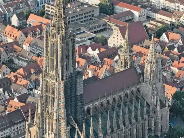 Ulm MinsterAttraction · 4.5 km from the route
- 2
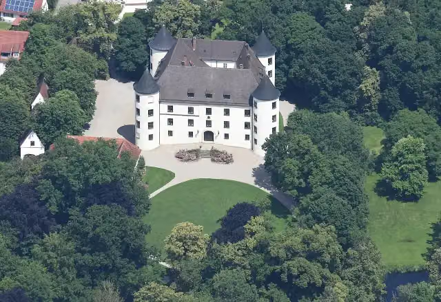 Schloss JettingenCastle · 4.5 km from the route
- 3
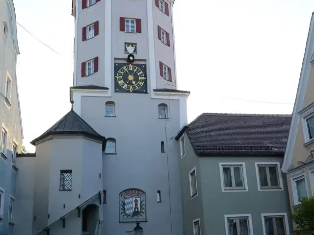 Unteres TorObservation tower · 214 m from the route
- 4
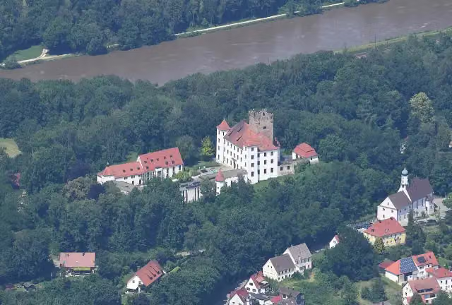 Schloss ReisensburgCastle · 386 m from the route
- 5
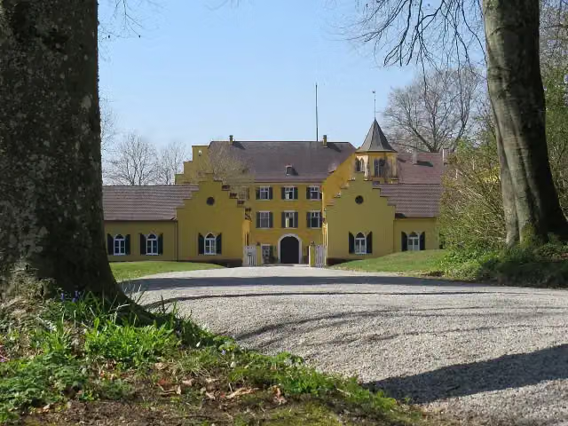 Schloss SeyfriedsbergCastle · 594 m from the route
- 6
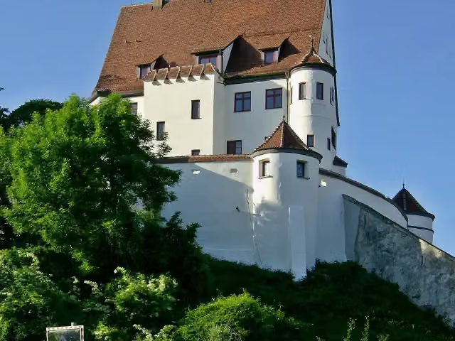 Schloss LeipheimCastle · 609 m from the route
- 7
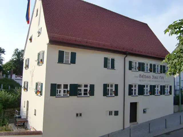 Heimat- und Bauernkriegsmuseum Blaue EnteMuseum · 632 m from the route
- 8
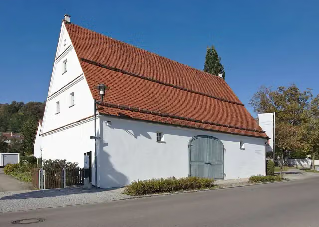 Heimatmuseum DinkelscherbenMuseum · 723 m from the route
- 9
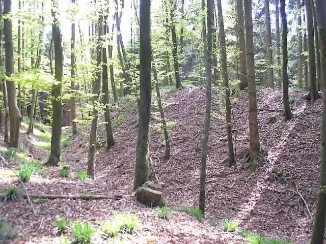 Burgstall HattenbergArchaeological site · 742 m from the route
- 10
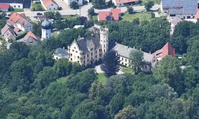 Schloss HaldenwangCastle · 834 m from the route
- 11
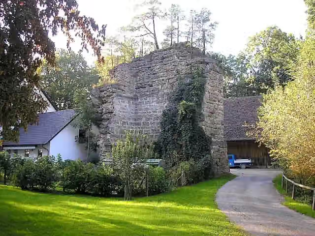 Ruine WolfsbergCastle · 942 m from the route
- 12
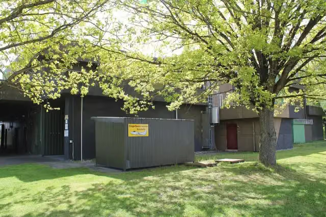 Fliegerhorstmuseum LeipheimMuseum · 1.1 km from the route
- 13
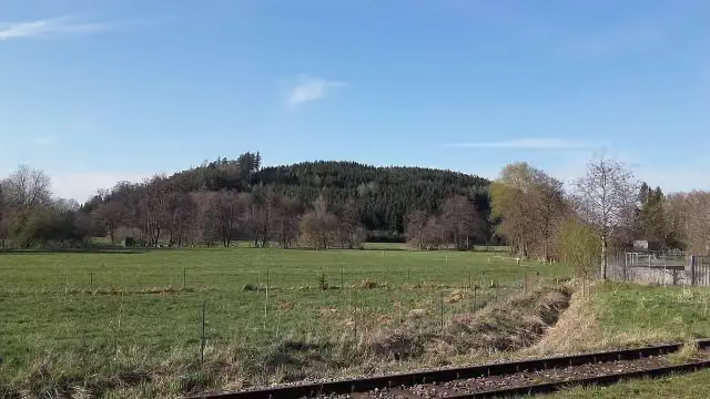 BuschelbergArchaeological site · 1.2 km from the route
- 14
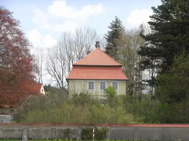 Schloss GrünenfurtCastle · 1.3 km from the route
- 15
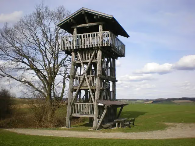 Christoph-Scheiner-TurmObservation tower · 1.3 km from the route
- 16
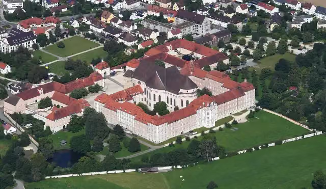 Museum im KonventbauMuseum · 1.6 km from the route
- 17
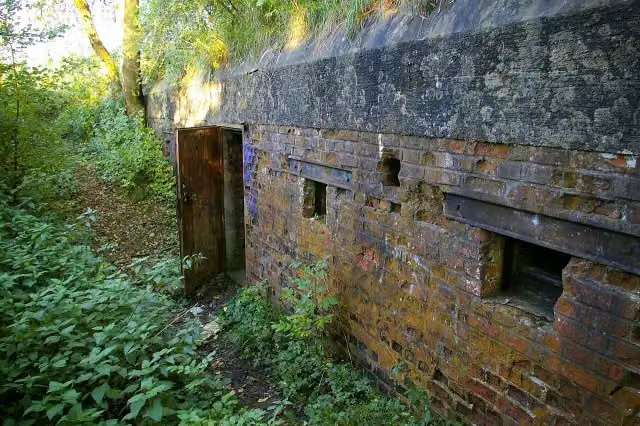 Infanteriestützpunkt 58 (Muthenhölzle)Attraction · 1.8 km from the route
- 18
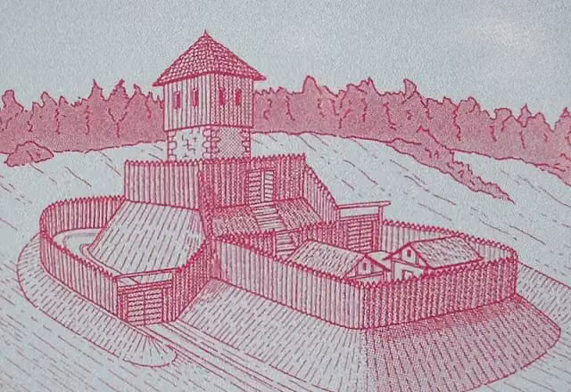 Burgstall SchlösslesbergArchaeological site · 1.9 km from the route
- 19
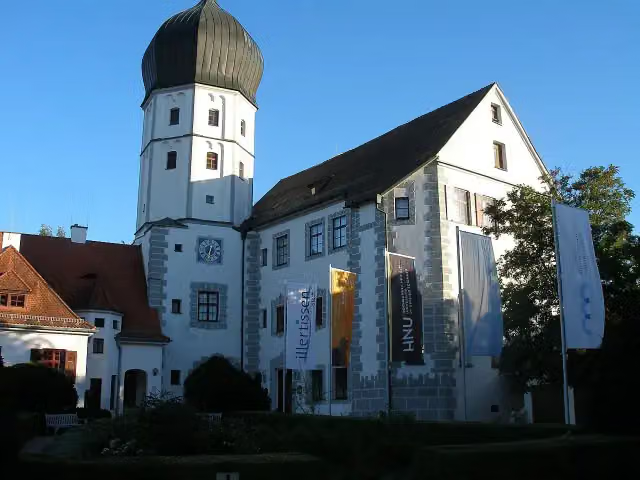 MuseumIllertissenMuseum · 2.2 km from the route
- 20
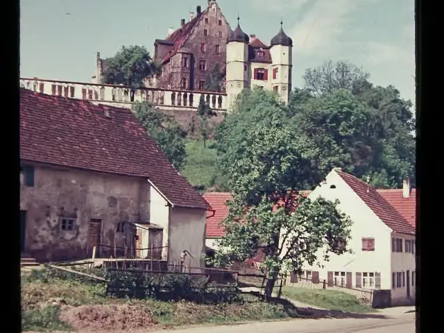 VöhlinschlossCastle · 2.2 km from the route
- 21
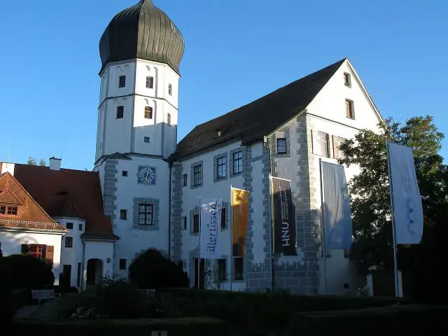 Bayerisches Bienenmuseum Illertissen, Sammlung ForsterMuseum · 2.2 km from the route
- 22
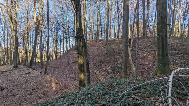 Burgstall MoosburgArchaeological site · 2.3 km from the route
- 23
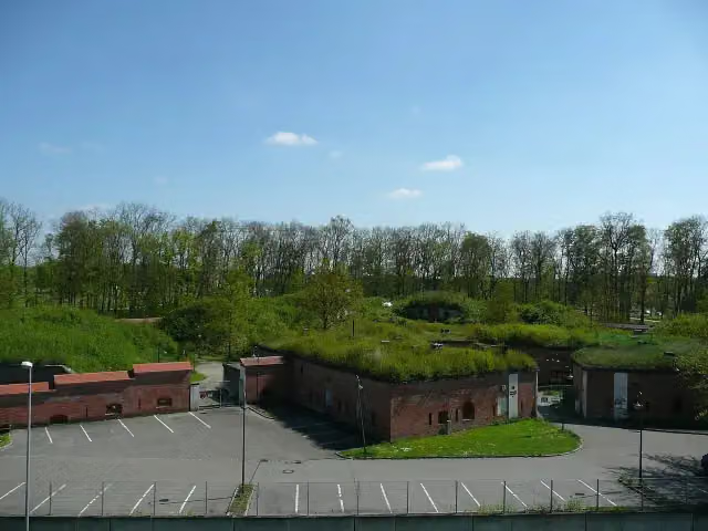 Ludwigsvorfeste (Werk 13)Attraction · 2.5 km from the route
- 24
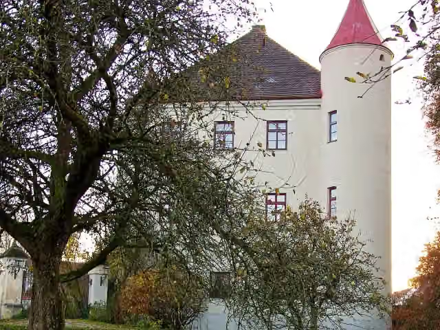 Fuggerschloss Markt WaldCastle · 2.5 km from the route
- 25
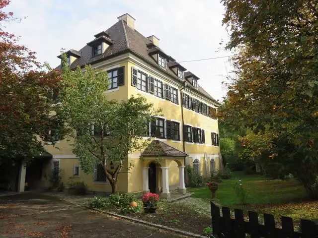 Schloss JedelhausenCastle · 2.6 km from the route
Explore more
More cycle routes around Neu-Ulm
Frequently asked questions
How long is Schwäbische Kartoffel-Tour?
Schwäbische Kartoffel-Tour is 217.6 km long. Allow ± 14:30 h of riding: 15 km an hour, without breaks.
Is this route a circular ride?
Yes, the route starts and ends at the same spot.
Where does this route start?
The route starts in Neu-Ulm.
How hard is this route?
Hard, with 1,068 m of climbing.
Are there toilets along this route?
Yes, there are 4 public toilets within 100 m of the route. The longest stretch without a toilet is 96.3 km.
Can you fill up with water along this route?
Yes, there are 10 water fountains and refill points within 100 m of the route.
What is there to see along this route?
Along the way you pass Archäologischer Park, Fugger-Schloss Kirchheim and Brennburg.
Can I download this route as a GPX file?
Yes. Sign in with your Outdoor Pitstop account and choose Download GPX at the top of this page: 10 routes a month for free, unlimited with Pro.
Starting point
More routes from this place
Route data © OpenStreetMap contributors





