 Outdoor Pitstop
Cycle route · Ulm · Updated on 14 November 2026
Donau-Bodensee-Radweg cycle route
Donau-Bodensee-Radweg is a cycle route of 155.8 km from Ulm. Along the way you'll find 287 benches, 7 water fountains and refill points, 14 public toilets, 8 bike pumps and 3 honesty boxes and farm vending machines.
i
i
i
The route step by step
From start to finish, with what you pass along the way and the distance in between.
- 155.8 km
- ± 10:25 h
- ↑ 811 m · ↓ 885 m
- Hard
- From A to B
- Regional route
Start in Ulm
0 km610 m · 17 benches

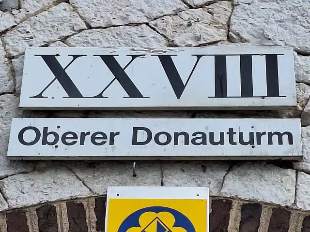
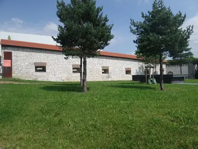
Oberer Donauturm (Werk XXVIII) and 1 more
610 mObere Stadtkehle (Werk XXVII)
3.7 km · 27 benches
Water point
4.3 km3 km · 3 benches
Bike pump
7.4 km18 km · 16 benches
Public toilet, water point and bike pump
25.4 km3.9 km · 8 benches
Public toilet
29.3 km12.9 km · 10 benches
Public toilet
42.2 km7.2 km · 20 benches
Public toilet
49.4 km28.2 km · 23 benches
Public toilet
77.6 km302 m · 8 benches
Bike pump
77.9 km15.4 km · 13 benches
Water point
93.3 km2.1 km · 2 benches
Public toilet
95.4 km646 m · 3 benches
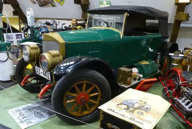
Automuseum
96 kmPublic toilet, bike pump and honesty box
11.5 km · 20 benches
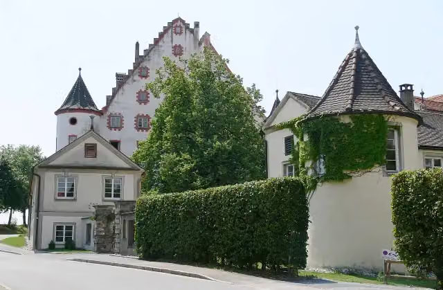
Pfarrkirche St. Gallus & Ulrich
107.5 kmAttraction
259 m · 2 benches
Altes Schloss
107.8 kmCastle
14.2 km · 20 benches
Water point
122 km476 m · bench
Public toilet and 2 bike pumps
122.5 km1.4 km · 33 benches
Public toilet
123.9 km390 m · 8 benches
Public toilet
124.3 km2.3 km · 6 benches
Public toilet and water point
126.6 km7.3 km · 8 benches
Water point
133.9 km4.7 km · 8 benches
Bike pump
138.6 km7.4 km · 7 benches
Public toilet, water point and 2 honesty boxes and farm vending machines
146 km9 km · 18 benches
Public toilet and bike pump
155.1 km402 m · 5 benches
Public toilet
155.5 km345 m · bench
Finish
155.8 km
Longest stretch without a toilet: 28.2 kmBetween 49.4 km and 77.6 km there is no public toilet within 100 m of the route.
The route with the pitstops and sights within 100 m of it.
5 sights along the way
In the order you pass them. With the Outdoor Pitstop app you hear their story on the spot.
i
Photo: Reutlingendorf · Wikimedia Commons · CC BY-SA 4.0View the photo on Wikimedia CommonsAttraction · after 610 m
i
Photo: Hohenzollernsche Lande · Wikimedia Commons · CC BY-SA 4.0View the photo on Wikimedia CommonsAttraction · after 621 m
i
Photo: Buch-t · Wikimedia Commons · CC BY-SA 3.0 deView the photo on Wikimedia CommonsMuseum · after 96 km
i
Photo: Photo: Andreas Praefcke · Wikimedia Commons · CC BY 3.0View the photo on Wikimedia CommonsAttraction · after 107.5 km
i
Photo: Photo: Andreas Praefcke · Wikimedia Commons · CC BY 3.0View the photo on Wikimedia CommonsCastle · after 107.8 km
Elevation and terrain
- Up
- ↑ 811 m
- Down
- ↓ 885 m
- Highest point
- 698 m
- Lowest point
- 404 m
- 5-10% slope · 3.1 km
Elevation from Copernicus GLO-30 (European Union and ESA), smoothed.
produced using Copernicus WorldDEM-30 © DLR e.V. 2010-2014 and © Airbus Defence and Space GmbH 2014-2018 provided under COPERNICUS by the European Union and ESA; all rights reserved
Way types
155.8 km in total- Road: 76 km
- Path: 28.8 km
- Street: 20.9 km
- Track: 18.9 km
- Busy road: 8.9 km
- Cycle path: 1.4 km
- Footpath (walk your bike): 475 m
- Unknown: 50 m
Surfaces
155.8 km in total- Asphalt: 147.7 km
- Gravel: 3.9 km
- Paved: 1.8 km
- Unknown: 2 km
About the cycle route Donau-Bodensee-Radweg
Updated on 14 November 2026, with data from OpenStreetMap, the AHN and Copernicus.
Where do you cycle?
Donau-Bodensee-Radweg is a cycle route of 155.8 km that starts in Ulm. It does not end where it starts. You start in Ulm and finish in Kressbronn. Along the way you pass Oberer Donauturm (Werk XXVIII) (after 610 m), Obere Stadtkehle (Werk XXVII) (after 621 m) and Automuseum (after 96 km).
How hard is the route?
You climb 811 m in total and descend 885 m. Allow ± 10:25 h, without breaks. The level is hard.
What roads do you cycle on?
The longest part is road (76 km), path (28.8 km) and street (20.9 km). Of the surface, 147.7 km asphalt and 3.9 km gravel. For 2 km the surface is not known.
Pitstops along the way
Within 100 metres of the route there are 287 benches, 7 water fountains and refill points, 14 public toilets, 8 bike pumps and 3 honesty boxes and farm vending machines. The longest stretch without a toilet is 28.2 km. The Outdoor Pitstop app navigates you there.
Cycle routes nearby
6Sights nearby
Within 10 km of the route, best known first.
- 1
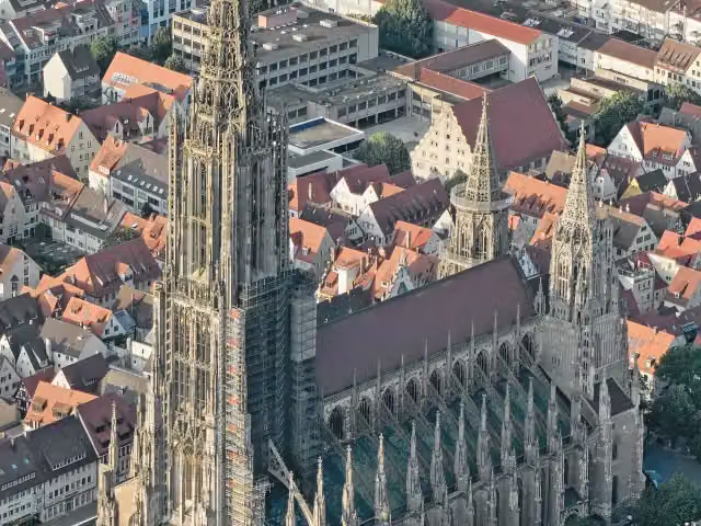 Ulm MinsterAttraction · 617 m from the route
- 2
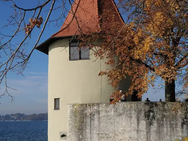 Ammunition towerAttraction · 7.4 km from the route
- 3
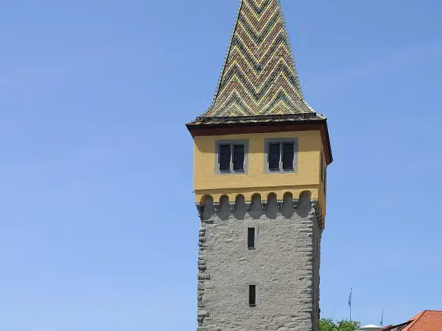 MangturmAttraction · 8 km from the route
- 4
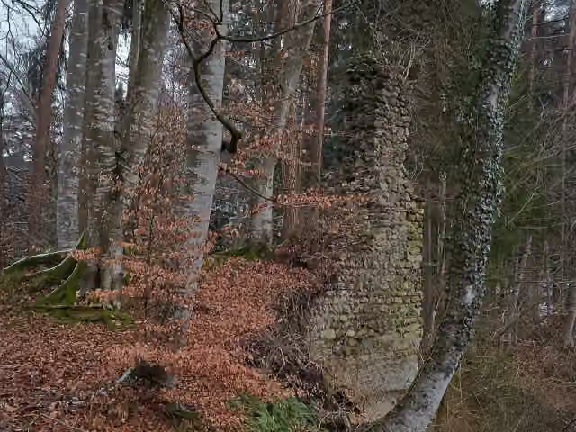 NeusummerauCastle · 120 m from the route
- 5
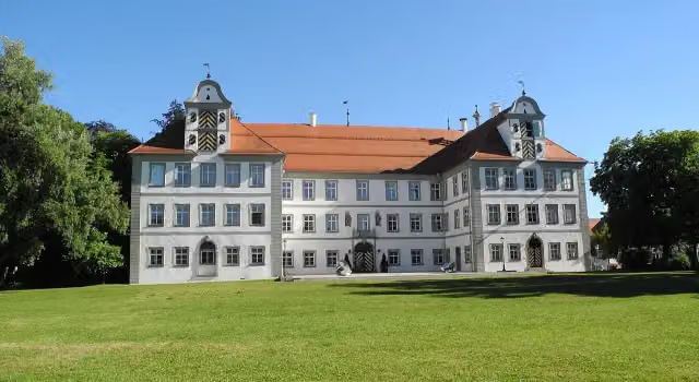 8Castle · 121 m from the route
- 6
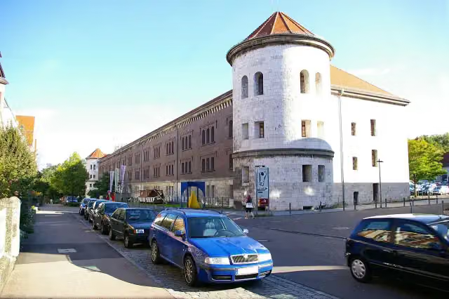 Obere Donaubastion (Werk I)Attraction · 148 m from the route
- 7
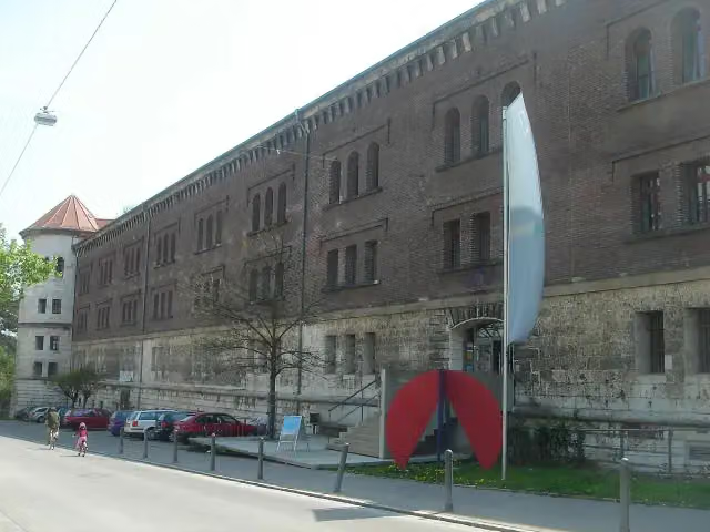 Donauschwäbisches ZentralmuseumMuseum · 149 m from the route
- 8
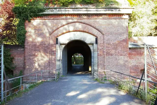 Memminger TorAttraction · 152 m from the route
- 9
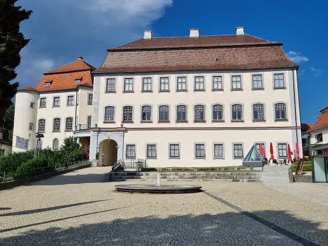 Schloss GroßlaupheimCastle · 164 m from the route
- 10
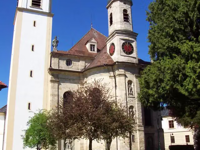 Pfarrkirche Sankt KatharinaAttraction · 165 m from the route
- 11
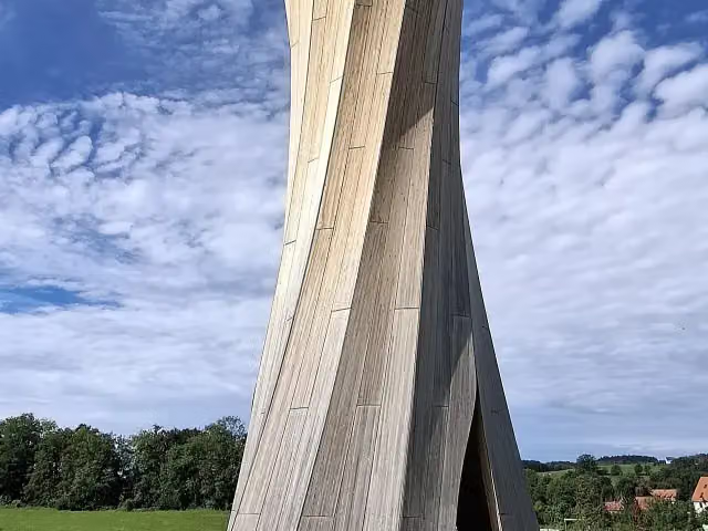 AussichtsturmObservation tower · 168 m from the route
- 12
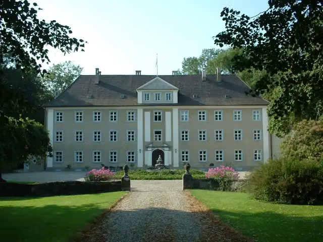 Schloss - Freiherr Reuttner von WeylCastle · 170 m from the route
- 13
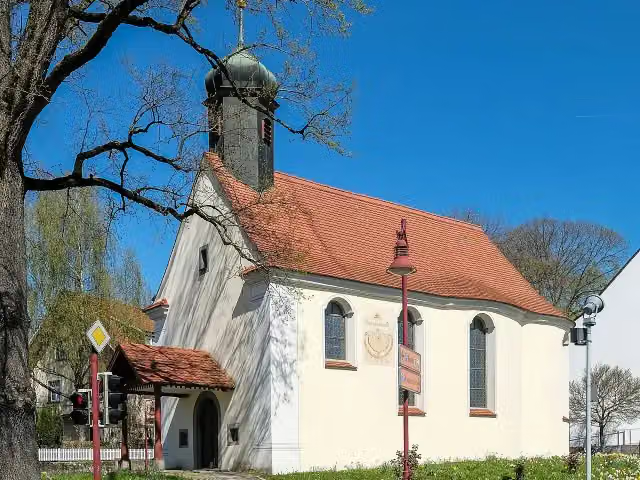 EligiuskapelleMemorial · 190 m from the route
- 14
 Hornwerk am Fort Unterer Kuhberg (Werk XXX)Attraction · 202 m from the route
- 15
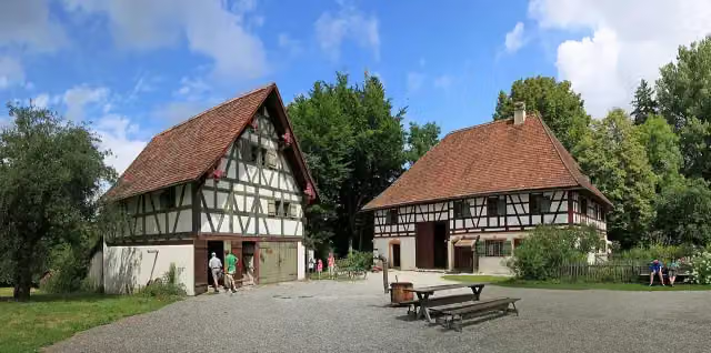 Bauernhausmuseum WolfeggMuseum · 204 m from the route
- 16
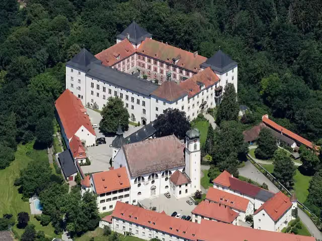 Schloss WolfeggCastle · 235 m from the route
- 17
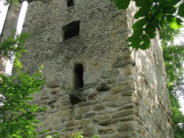 Ruine PrassbergCastle · 275 m from the route
- 18
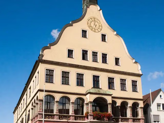 SchwörhausAttraction · 329 m from the route
- 19
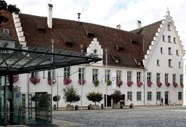 Museum BiberachMuseum · 331 m from the route
- 20
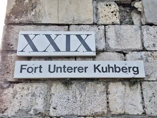 Fort Unterer Kuhberg (Werk XXIX)Attraction · 337 m from the route
- 21
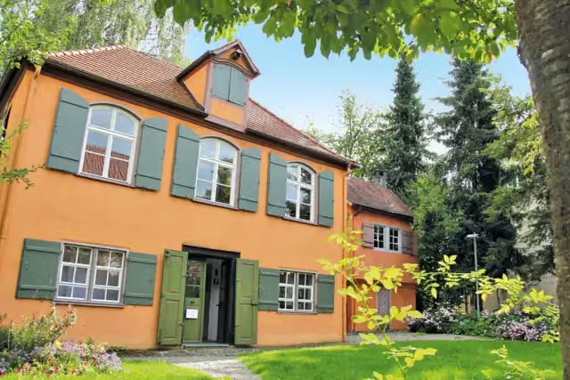 Wieland-GartenhausMuseum · 340 m from the route
- 22
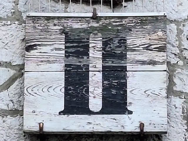 Ehinger Tor (Werk II)Attraction · 341 m from the route
- 23
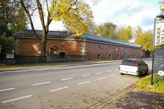 Caponniere 8Castle · 365 m from the route
- 24
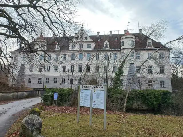 Schloss WaldseeCastle · 376 m from the route
- 25
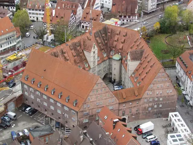 Neuer BauAttraction · 405 m from the route
Explore more
More cycle routes around Ulm
Frequently asked questions
How long is Donau-Bodensee-Radweg?
Donau-Bodensee-Radweg is 155.8 km long. Allow ± 10:25 h of riding: 15 km an hour, without breaks.
Is this route a circular ride?
No, the route runs from Ulm to Kressbronn.
Where does this route start?
The route starts in Ulm.
How hard is this route?
Hard, with 811 m of climbing.
Are there toilets along this route?
Yes, there are 14 public toilets within 100 m of the route. The longest stretch without a toilet is 28.2 km.
Can you fill up with water along this route?
Yes, there are 7 water fountains and refill points within 100 m of the route.
What is there to see along this route?
Along the way you pass Oberer Donauturm (Werk XXVIII), Obere Stadtkehle (Werk XXVII) and Automuseum.
Can I download this route as a GPX file?
Yes. Sign in with your Outdoor Pitstop account and choose Download GPX at the top of this page: 10 routes a month for free, unlimited with Pro.
Starting point
More routes from this place
Route data © OpenStreetMap contributors





