 Outdoor Pitstop
Cycle route · Wilhelmsdorf · Updated on 14 November 2026
Oberschwaben-Allgäu-Radweg cycle route
Oberschwaben-Allgäu-Radweg is a cycle route of 360.3 km from Wilhelmsdorf that starts and ends at the same spot. Along the way you'll find 668 benches, 7 water fountains and refill points, 38 public toilets, 12 bike pumps and 2 honesty boxes and farm vending machines.
i
i
i
The route step by step
From start to finish, with what you pass along the way and the distance in between.
- 360.3 km
- ± 24:00 h
- ↑ 2,306 m · ↓ 2,305 m
- Hard
- Circular ride
- Regional route
Start in Wilhelmsdorf
0 km790 m
Public toilet
790 m591 m · 3 benches

Museum für bäuerliches Handwerk und Kultur
1.4 kmMuseum
24.2 km · 11 benches
Bischofschloss
25.6 kmCastle
580 m · 8 benches
Public toilet and bike pump
26.2 km2.7 km · bench
Water point
28.9 km5.5 km · 9 benches
Bike pump
34.4 km7.1 km · 4 benches
Museum im Schloss and 1 more
41.5 kmHumpisschloss
1.3 km · 6 benches
Public toilet, water point and bike pump
42.8 km4 km · bench
Public toilet
46.8 km345 m · 4 benches
Elektronikmuseum Tettnang and 2 more
47.1 kmStadtmuseum Tettnang, Torschloss, 7 public toilets and water point
4.6 km · 7 benches
2 public toilets and bike pump
51.8 km7.8 km · 10 benches
Bike pump
59.6 km4.7 km · 10 benches
Water point
64.3 km7.2 km · 8 benches
Public toilet and water point
71.5 km2.4 km · 6 benches
Public toilet
73.9 km391 m · 8 benches
Public toilet
74.3 km1.3 km · 30 benches
Bike pump
75.5 km234 m · 2 benches
2 public toilets and bike pump
75.7 km3.8 km · 7 benches
Water point
79.5 km6.9 km · 5 benches
Bike pump
86.4 km12.7 km · 27 benches
Public toilet
99.1 km452 m · bench
Gefallenendenkmal 1914-1918
99.6 kmMemorial
2.4 km · 12 benches
Römerkastell Vemania
101.9 kmArchaeological site
8.4 km · bench
Letze der Herrschaft Trauchburg und Schwedenschanze
110.3 kmMemorial
11.9 km · 5 benches
Bike pump
122.3 km1.1 km · 2 benches
Public toilet
123.4 km286 m · 6 benches
Public toilet and water point
123.7 km18 km · 27 benches
Public toilet and bike pump
141.7 km189 m · 7 benches
Wurzacher Schloss
141.9 kmCastle
Show the other 25 steps
310 m · 5 benches
Public toilet
142.2 km24.2 km · 20 benches
St. Georg
166.4 km2 public toilets
1.1 km · 7 benches
Public toilet
167.5 km21.6 km · 34 benches
Public toilet
189.1 km4 km · bench
Public toilet
193.2 km15.8 km · 24 benches
Public toilet
208.9 km3.5 km · 25 benches
Museum im Konventbau
212.4 kmPublic toilet
4.5 km · 25 benches
Public toilet
216.9 km681 m · 15 benches
Obere Stadtkehle (Werk XXVII) and 1 more
217.6 kmOberer Donauturm (Werk XXVIII)
946 m · 17 benches
Ehinger Tor (Werk II)
218.5 kmAttraction
260 m · 4 benches
Bike pump
218.8 km8.6 km · 37 benches
Honesty box
227.4 km1.3 km · bench
Honesty box
228.7 km2.3 km · 6 benches
Public toilet
231 km978 m · 2 benches
Public toilet
231.9 km16.5 km · 40 benches
2 public toilets
248.5 km16 km · 31 benches
Krippenmuseum
264.5 kmMuseum
7.6 km · 5 benches
Sebastian Sailer
272.1 kmMemorial
24.3 km · 36 benches
Federseemuseum
296.4 kmPublic toilet
17.4 km · 49 benches
Public toilet
313.8 km19.9 km · 37 benches
Schloss Aulendorf
333.7 kmCastle
9.7 km · 9 benches
Public toilet
343.4 km293 m
Schloss Altshausen
343.7 kmCastle
12.1 km · 10 benches
Bike pump
355.7 km4.5 km
Back at the start
360.3 km
Longest stretch without a toilet: 47.9 kmBetween 248.6 km and 296.4 km there is no public toilet within 100 m of the route.
The route with the pitstops and sights within 100 m of it.
21 sights along the way
In the order you pass them. With the Outdoor Pitstop app you hear their story on the spot. 13 more along the route are on the map.

Museum · after 1.4 km
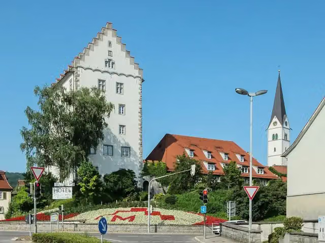
i
Photo: Dietrich Krieger · Wikimedia Commons · CC BY-SA 3.0View the photo on Wikimedia CommonsCastle · after 25.6 km
Museum · after 41.5 km
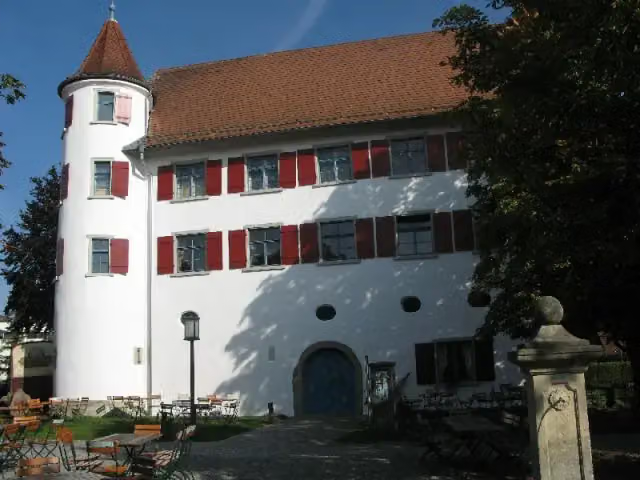
Castle · after 41.5 km
Museum · after 47.1 km
Museum · after 47.2 km
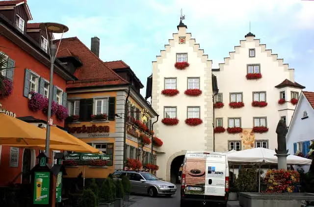
i
Photo: Dguendel · Wikimedia Commons · CC BY 3.0View the photo on Wikimedia CommonsAttraction · after 47.2 km
Memorial · after 99.6 km
Elevation and terrain
- Up
- ↑ 2,306 m
- Down
- ↓ 2,305 m
- Highest point
- 720 m
- Lowest point
- 413 m
- 5-10% slope · 1.8 km
Elevation from Copernicus GLO-30 (European Union and ESA), smoothed.
produced using Copernicus WorldDEM-30 © DLR e.V. 2010-2014 and © Airbus Defence and Space GmbH 2014-2018 provided under COPERNICUS by the European Union and ESA; all rights reserved
Way types
360.3 km in total- Road: 179.1 km
- Path: 59.9 km
- Track: 52.3 km
- Street: 46.9 km
- Busy road: 13.2 km
- Footpath (walk your bike): 7.4 km
- Cycle path: 325 m
Surfaces
360.3 km in total- Asphalt: 325.6 km
- Gravel: 17.9 km
- Paved: 6.2 km
- Unpaved: 25 m
- Unknown: 9.4 km
About the cycle route Oberschwaben-Allgäu-Radweg
Updated on 14 November 2026, with data from OpenStreetMap, the AHN and Copernicus.
Where do you cycle?
Oberschwaben-Allgäu-Radweg is a circular ride of 360.3 km from Wilhelmsdorf: it starts and ends in the same place. Along the way you pass Museum für bäuerliches Handwerk und Kultur (after 1.4 km), Bischofschloss (after 25.6 km) and Museum im Schloss (after 41.5 km).
How hard is the route?
You climb 2,306 m in total and descend 2,305 m. Allow ± 24:00 h, without breaks. The level is hard.
What roads do you cycle on?
The longest part is road (179.1 km), path (59.9 km) and track (52.3 km). Of the surface, 325.6 km asphalt and 17.9 km gravel. For 9.4 km the surface is not known.
Pitstops along the way
Within 100 metres of the route there are 668 benches, 7 water fountains and refill points, 38 public toilets, 12 bike pumps and 2 honesty boxes and farm vending machines. The longest stretch without a toilet is 47.9 km. The Outdoor Pitstop app navigates you there.
Cycle routes nearby
1Sights nearby
Within 10 km of the route, best known first.
- 1
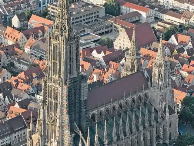 Ulm MinsterAttraction · 614 m from the route
- 2
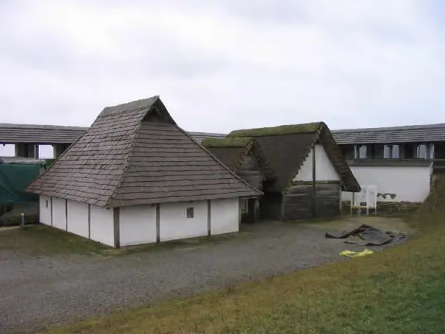 Freilichtmuseum HeuneburgMuseum · 9.6 km from the route
- 3
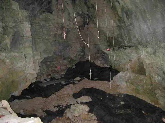 GeißenklösterleArchaeological site · 9.6 km from the route
- 4
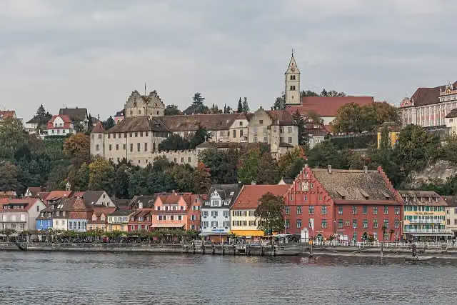 Burg MeersburgAttraction · 9.1 km from the route
- 5
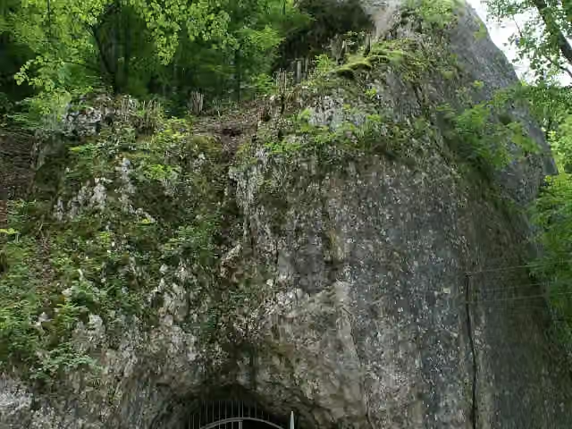 Hohle FelsAttraction · 7.5 km from the route
- 6
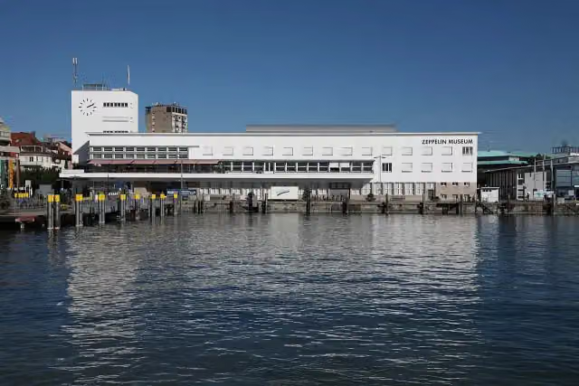 Zeppelin MuseumMuseum · 6.5 km from the route
- 7
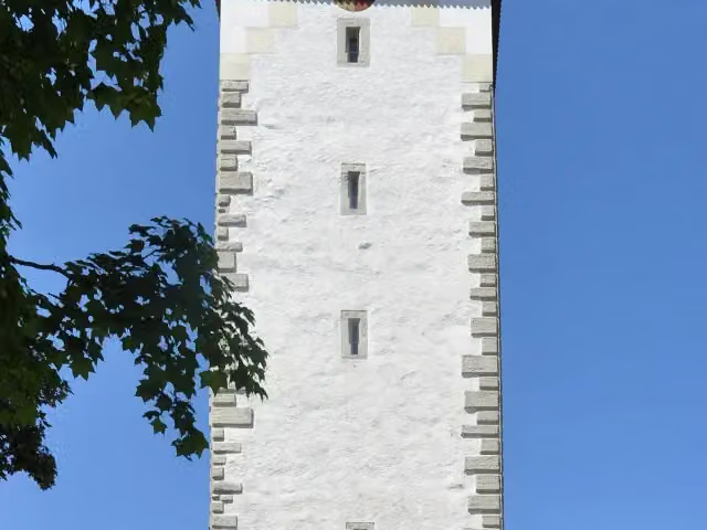 SpitalturmAttraction · 9.5 km from the route
- 8
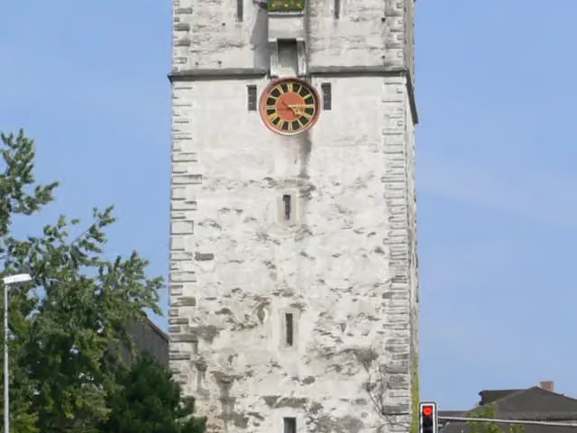 UntertorAttraction · 9.6 km from the route
- 9
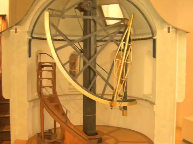 Klostermuseum OchsenhausenMuseum · 112 m from the route
- 10
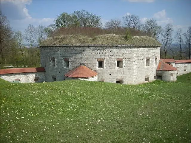 KZ-Gedenkstätte Oberer KuhbergMuseum · 145 m from the route
- 11
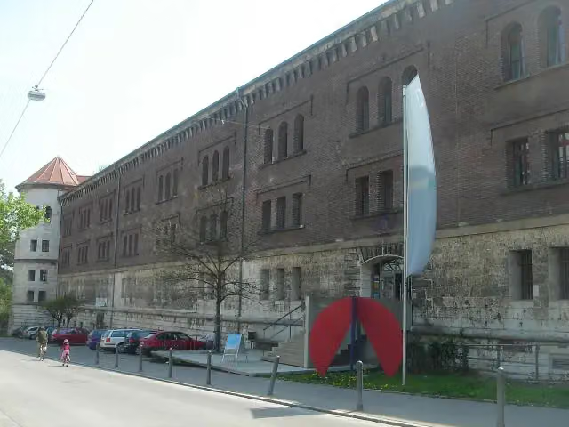 Donauschwäbisches ZentralmuseumMuseum · 145 m from the route
- 12
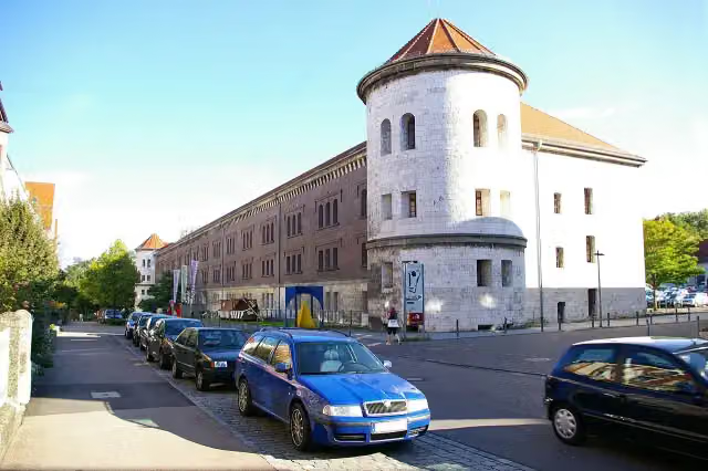 Obere Donaubastion (Werk I)Attraction · 146 m from the route
- 13
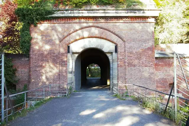 Memminger TorAttraction · 160 m from the route
- 14
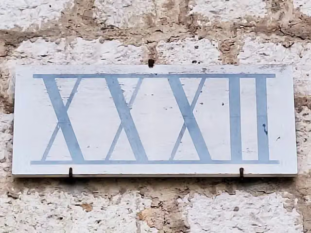 Fort Oberer Kuhberg (Werk XXXII)Attraction · 163 m from the route
- 15
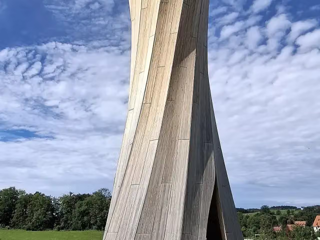 AussichtsturmObservation tower · 170 m from the route
- 16
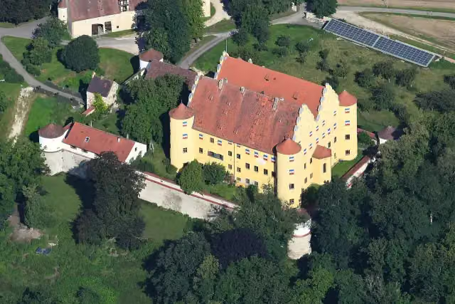 Schloss ErbachCastle · 194 m from the route
- 17
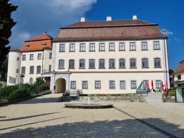 Schloss GroßlaupheimCastle · 265 m from the route
- 18
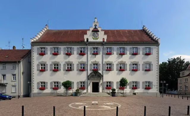 Rathaus TettnangAttraction · 275 m from the route
- 19
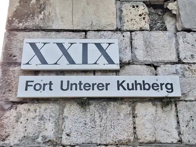 Fort Unterer Kuhberg (Werk XXIX)Attraction · 279 m from the route
- 20
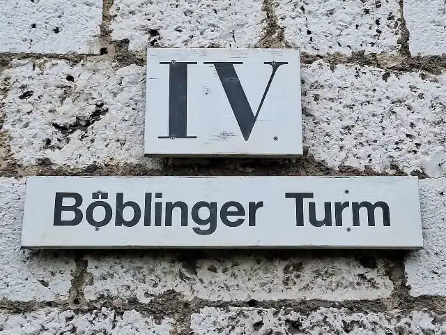 Mittelbastion (Werk IV)Attraction · 284 m from the route
- 21
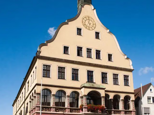 SchwörhausAttraction · 322 m from the route
- 22
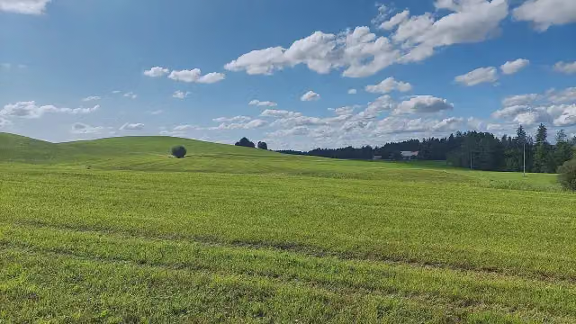 SchwinderbergViewpoint · 345 m from the route
- 23
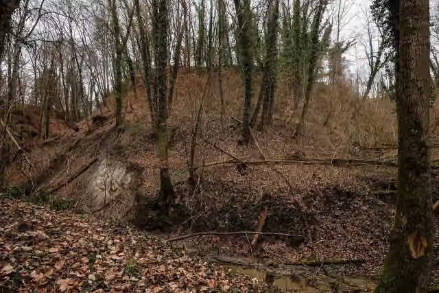 AltschlossArchaeological site · 350 m from the route
- 24
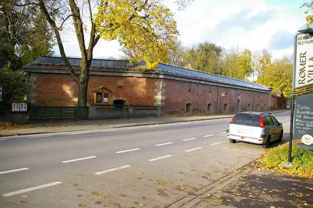 Caponniere 8Castle · 362 m from the route
- 25
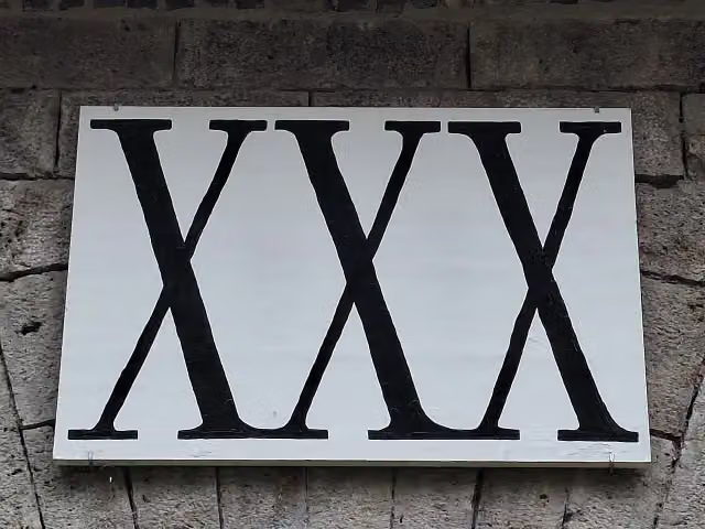 Hornwerk am Fort Unterer Kuhberg (Werk XXX)Attraction · 365 m from the route
Explore more
More cycle routes around Wilhelmsdorf
Frequently asked questions
How long is Oberschwaben-Allgäu-Radweg?
Oberschwaben-Allgäu-Radweg is 360.3 km long. Allow ± 24:00 h of riding: 15 km an hour, without breaks.
Is this route a circular ride?
Yes, the route starts and ends at the same spot.
Where does this route start?
The route starts in Wilhelmsdorf.
How hard is this route?
Hard, with 2,306 m of climbing.
Are there toilets along this route?
Yes, there are 38 public toilets within 100 m of the route. The longest stretch without a toilet is 47.9 km.
Can you fill up with water along this route?
Yes, there are 7 water fountains and refill points within 100 m of the route.
What is there to see along this route?
Along the way you pass Museum für bäuerliches Handwerk und Kultur, Bischofschloss and Museum im Schloss.
Can I download this route as a GPX file?
Yes. Sign in with your Outdoor Pitstop account and choose Download GPX at the top of this page: 10 routes a month for free, unlimited with Pro.
Starting point
More routes from this place
Route data © OpenStreetMap contributors





