 Outdoor Pitstop
Cycle route · Zell · Updated on 14 November 2026
Saaleradweg cycle route
Saaleradweg is a cycle route of 439.8 km from Zell. Along the way you'll find 1,131 benches, 13 water fountains and refill points, 25 public toilets, 8 bike pumps and 1 honesty box.
i
i
i
The route step by step
From start to finish, with what you pass along the way and the distance in between.
- 439.8 km
- ± 2:55 h per stage
- ↑ 1,914 m · ↓ 2,612 m
- Moderate per stage
- From A to B
- Regional route
Start in Zell
0 km1.7 km · 4 benches
Water point
1.7 km18.6 km · 25 benches

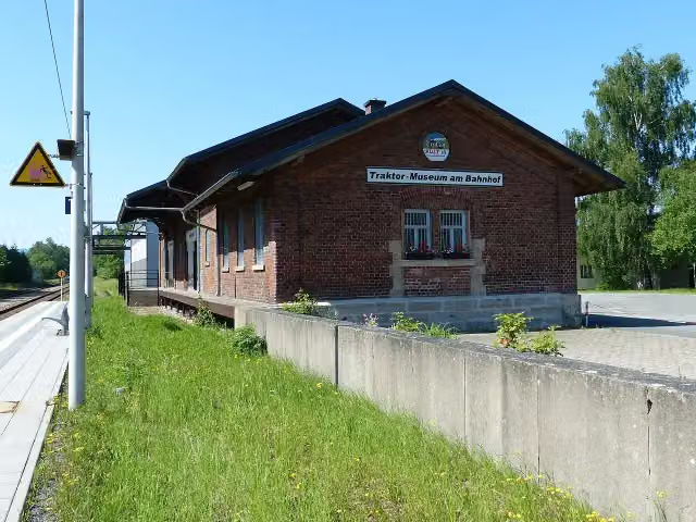
Traktor-Museum am Bahnhof
20.3 kmMuseum
283 m · bench
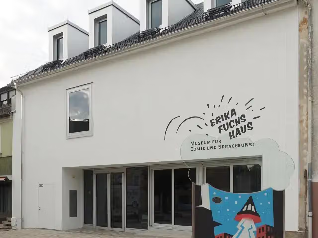
Erika-Fuchs-Haus, Museum für Comic und Sprachkunst
20.6 kmPublic toilet and bike pump
5 km · 7 benches
Public toilet
25.6 km4.8 km · 3 benches
Public toilet
30.4 km3.7 km · 27 benches
Water point and bike pump
34.1 km329 m · 4 benches
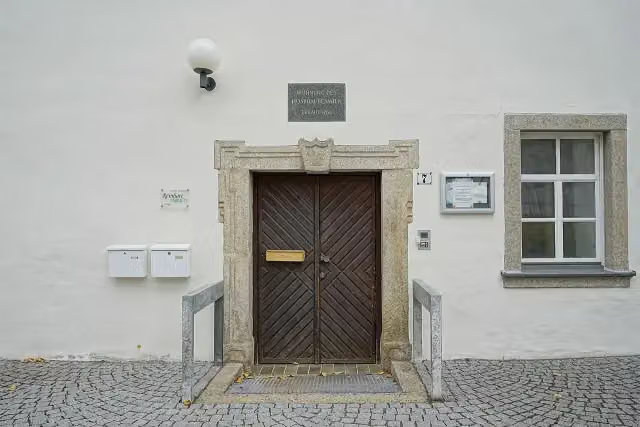
Johann-Christian-Reinhart-Cabinett and 1 more
34.4 kmMuseum Bayerisches Vogtland
10 km · 28 benches
Jean-Paul-Museum Joditz
44.4 kmMuseum
10 km · 20 benches
Water point
54.5 km3.7 km · 7 benches
Gedenktafel für die Gefallenen der Weltkriege
58.1 kmMemorial
26.9 km · 36 benches
Public toilet
85 km459 m
Public toilet
85.5 km752 m · 3 benches
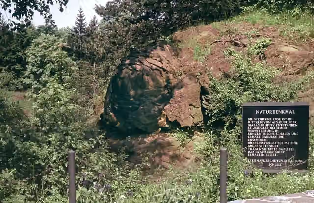
Naturdenkmal Steinerne Rose
86.2 kmAttraction
7.7 km · 3 benches
Saaleturm
94 km3 public toilets
660 m · 16 benches
Schloss Burgk
94.6 kmCastle
11.2 km · 23 benches
Water point
105.8 km1.7 km · 4 benches
Wasserkraftmuseum
107.6 kmMuseum
728 m · 27 benches
Honesty box
108.3 km5.6 km · 6 benches
Public toilet
113.9 km8.1 km · 9 benches
Kriegerdenkmal
122 kmMemorial
9.8 km · 2 benches
Public toilet
131.7 km17.9 km · 40 benches
Bike pump
149.7 km481 m
Hoher Schwarm and 1 more
150.2 kmSchlösschen Kitzerstein
12 km · 63 benches
Public toilet
162.1 km732 m · 23 benches
Bike pump
162.9 km353 m · 16 benches
Water point
163.2 km6.3 km · 7 benches
Kriegsdenkmal 1. und 2. Weltkrieg
169.5 kmMemorial
2.8 km · bench
Weißenburg
172.3 kmCastle
11.7 km · 22 benches
St. Laurentius
184 kmAttraction
Show the other 41 steps
20.7 km · 133 benches
Zum Gedenken an die Gefallenen des 2. Weltkrieges
204.8 kmMemorial
3.4 km · 34 benches
Gedenktafel an den Todesmarsch der Buchenwaldhäftlinge and 2 more
208.2 km11. April 1945 and Armenischer Kreuzstein (Chatschkar)
185 m · 29 benches
Water point
208.4 km521 m · 23 benches
Water point
208.9 km1.3 km · 3 benches
Public toilet
210.2 km3.1 km · 16 benches
Public toilet
213.4 km17 km · 15 benches
Stadtmuseum Camburg
230.4 kmMuseum
184 m
Public toilet
230.5 km1.6 km · 9 benches
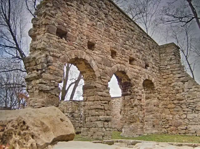
Cyriaksruine
232.1 kmRuins
7.7 km · 4 benches
Public toilet
239.9 km386 m · bench
Observation tower and 1 more
240.3 kmBurg Saaleck
451 m · 2 benches
Rudelsburg
240.7 kmCastle
3.7 km · 12 benches
Gradierwerk
244.4 kmAttraction
381 m · 3 benches
Romanisches Haus
244.8 kmPublic toilet and bike pump
10.3 km · 33 benches
Public toilet and bike pump
255.1 km302 m · 4 benches
2 public toilets and 3 water fountains and refill points
255.4 km6.8 km · 6 benches
Schönburg Castle and 1 more
262.2 kmBergfried
15.4 km · 28 benches
Schloss Burgwerben
277.5 kmCastle
3.6 km · 14 benches
Kirchenruine Schkortleben
281.2 kmRuins
3.4 km · 5 benches
Kriegerdenkmal Kleinkorbetha
284.5 kmMemorial
5 km · 29 benches
Public toilet
289.5 km325 m · 6 benches
Borlach-Museum
289.9 kmMuseum
6.2 km · 9 benches
Grabhügel von Rössen and 2 more
296.1 kmGefallenendenkmal 1914-1918 and Nikolaikirche
3.7 km · 12 benches
Public toilet
299.8 km594 m · 8 benches
Schloss Merseburg and 1 more
300.4 kmKulturhistorisches Museum Schloss Merseburg
18.4 km · 50 benches
Planetarium Halle
318.8 kmAttraction
400 m · 6 benches
Halloren- und Salinemuseum and 1 more
319.2 kmDenkmalzug LKM V 10 C and bike pump
1.4 km · 24 benches
Water point
320.6 km330 m · 7 benches
Public toilet
321 km166 m · 3 benches
Public toilet and bike pump
321.1 km978 m · 29 benches
Heinrich-Heine-Felsen
322.1 kmMemorial
855 m · 22 benches
Burg Giebichenstein - Oberburg and 1 more
323 kmBurg Giebichenstein Kunsthochschule Halle - Campus Kunst
4.9 km · 10 benches
St. Wenzel
327.8 kmAttraction
3.3 km · 2 benches
Krieg 1870-1871: Friedenseiche
331.2 kmPublic toilet and water point
7.5 km · 7 benches
Templerkapelle
338.7 kmAttraction
1.4 km · 6 benches
Burg Wettin Unterburg
340.1 kmCastle
35.6 km · 52 benches
Public toilet
375.7 km1.8 km · 10 benches
Schloss Bernburg and 1 more
377.5 kmEulenspiegelturm
522 m · bench
Säulen der ehemaligen Brückenwache
378 kmMemorial
200 m · bench
Water point
378.2 km61.7 km · 31 benches
Finish
439.8 km
Longest stretch without a toilet: 64.1 kmBetween 375.7 km and 439.8 km there is no public toilet within 100 m of the route.
The route with the water points, toilets and sights within 100 m of it.
51 sights along the way
In the order you pass them. With the Outdoor Pitstop app you hear their story on the spot. 43 more along the route are on the map.
i
Photo: PeterBraun74 · Wikimedia Commons · CC BY-SA 3.0View the photo on Wikimedia CommonsMuseum · after 20.3 km
i
Photo: Kreuzschnabel · Wikimedia Commons · CC BY-SA 3.0View the photo on Wikimedia CommonsMuseum · after 20.6 km
i
Photo: PantheraLeo1359531 · Wikimedia Commons · CC BY 4.0View the photo on Wikimedia CommonsMuseum · after 34.4 km
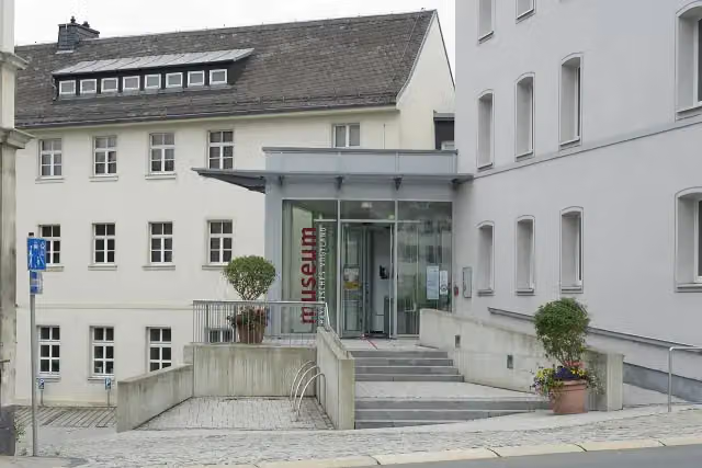
i
Photo: PantheraLeo1359531 · Wikimedia Commons · CC BY 4.0View the photo on Wikimedia CommonsMuseum · after 34.5 km
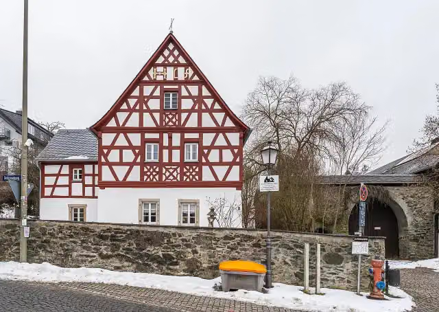
i
Photo: PantheraLeo1359531 · Wikimedia Commons · CC BY-SA 4.0View the photo on Wikimedia CommonsMuseum · after 44.4 km
i
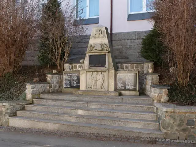
Photo: Störfix · Wikimedia Commons · CC BY-SA 3.0View the photo on Wikimedia CommonsMemorial · after 58.1 km
i
Photo: Jörg Blobelt · Wikimedia Commons · CC BY-SA 4.0View the photo on Wikimedia CommonsAttraction · after 86.2 km
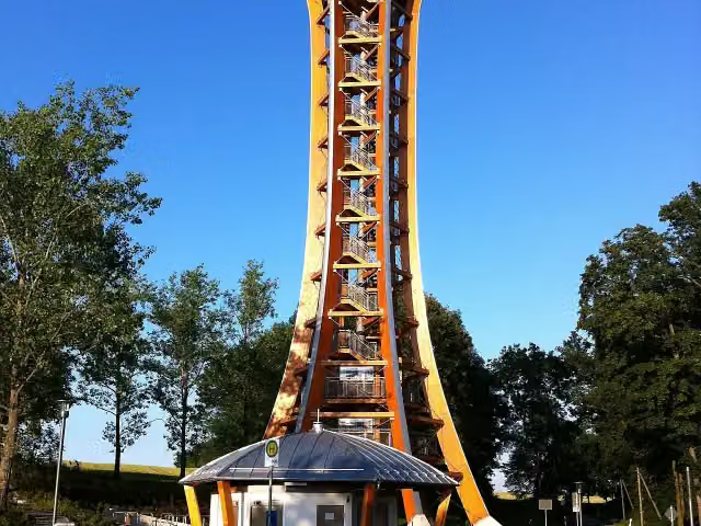
i
Photo: Arndt Jakubaschk · Wikimedia Commons · CC BY-SA 3.0 deView the photo on Wikimedia CommonsViewpoint · after 94 km
Stages (10)
- 1Saaleradweg Etappe 1- Von der Saalequelle nach Hof33.7 km
- 2Saaleradweg Etappe 2 - Von Hof nach Blankenstein29.1 km
- 3Saaleradweg Etappe 3 - Von Blankenstein nach Ziegenrück44 km
- 4Saaleradweg Etappe 4 - Von Ziegenrück bis Saalfeld44.1 km
- 5Saaleradweg Etappe 5 - Von Saalfeld nach Jena57.3 km
- 6Saaleradweg Etappe 6 - Von Jena nach Naumburg (Saale)50.8 km
- 7Saaleradweg Etappe 7 - Von Naumburg (Saale) nach Halle (Saale)64.9 km
- 8Saaleradweg Etappe 8 - Von Halle (Saale) nach Bernburg (Saale)55.9 km
- 9Saaleradweg Etappe 9a - Von Bernburg (Saale) zur Saalemündung30.4 km
- 10Saaleradweg Etappe 9b - Von Bernburg (Saale) zur Saalemündung29.7 km
Elevation and terrain
- Up
- ↑ 1,914 m
- Down
- ↓ 2,612 m
- Highest point
- 718 m
- Lowest point
- 52 m
- 5-10% slope · 22.2 km
- 10-15% slope · 442 m
- 1 flight of stairs
Elevation from Copernicus GLO-30 (European Union and ESA), smoothed.
produced using Copernicus WorldDEM-30 © DLR e.V. 2010-2014 and © Airbus Defence and Space GmbH 2014-2018 provided under COPERNICUS by the European Union and ESA; all rights reserved
Way types
439.8 km in total- Track: 110.4 km
- Path: 99.6 km
- Road: 88.4 km
- Street: 83.9 km
- Busy road: 39.2 km
- Cycle path: 8.8 km
- Footpath (walk your bike): 7.5 km
- Steps (carry your bike): 1 flight of stairs
- Unknown: 625 m
Surfaces
439.8 km in total- Asphalt: 370 km
- Gravel: 33.8 km
- Paved: 27.2 km
- Unpaved: 900 m
- Natural: 100 m
- Unknown: 6.5 km
About the cycle route Saaleradweg
Updated on 14 November 2026, with data from OpenStreetMap, the AHN and Copernicus.
Where do you cycle?
Saaleradweg is a cycle route of 439.8 km that starts in Zell. It does not end where it starts. You start in Saalequelle bei Zell and finish in Elberadweg bei Barby. Along the way you pass Traktor-Museum am Bahnhof (after 20.3 km), Erika-Fuchs-Haus, Museum für Comic und Sprachkunst (after 20.6 km) and Johann-Christian-Reinhart-Cabinett (after 34.4 km).
How hard is the route?
You climb 1,914 m in total and descend 2,612 m. There is 1 flight of steps along the way. Allow ± 2:55 h per stage, without breaks. Per stage the level is moderate.
What roads do you cycle on?
The longest part is track (110.4 km), path (99.6 km) and road (88.4 km). Of the surface, 370 km asphalt and 33.8 km gravel. For 6.5 km the surface is not known.
Pitstops along the way
Within 100 metres of the route there are 1,131 benches, 13 water fountains and refill points, 25 public toilets, 8 bike pumps and 1 honesty box. The longest stretch without a toilet is 64.1 km. The Outdoor Pitstop app navigates you there.
The Saaleradweg (Saale Cycle Route) is a 440 km long-distance cycle route along the Saale, from its source near Zell im Fichtelgebirge to its mouth on the Elbe near Barby, in nine stages. It runs via Hof and Blankenstein past the Saale reservoirs to Saalfeld, Rudolstadt and Jena, then via Naumburg and Halle to Bernburg. Sights on the way include Burgk Palace, the Rudelsburg and Saaleck Castle. The upper reaches have many climbs; from Saalfeld it gets flatter. Over 80% is asphalt. We know of 25 toilets and 13 drinking water points along the route.
Source: Wikipedia (CC BY-SA)
Cycle routes nearby
6- Technikgeschichte und verwunschene TälerHard · From A to B133.5 km
- [D11] Ostsee-Oberbayern 10 [Oberfranken Nord]Hard · From A to B102.8 km
- Bischofsgrün - Zell (Saaleradweg)Easy · From A to B17.7 km
- Jakobus Radpilgerweg: Auszeit Tour 7Hard · From A to B79.8 km
- Main - Saale - RadwegEasy · From A to B24.8 km
- Eger-RadwegModerate · From A to B52.3 km
Sights nearby
Within 10 km of the route, best known first.
- 1
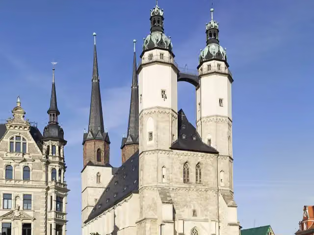 Marktkirche Unser Lieben FrauenAttraction · 618 m from the route
- 2
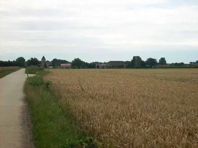 Denkmal Schlacht bei RoßbachMemorial · 3.7 km from the route
- 3
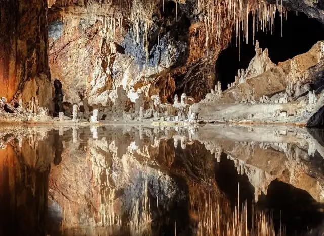 FeengrottenAttraction · 2.2 km from the route
- 4
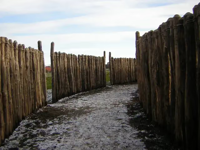 Sonnenobservatorium GoseckAttraction · 1.3 km from the route
- 5
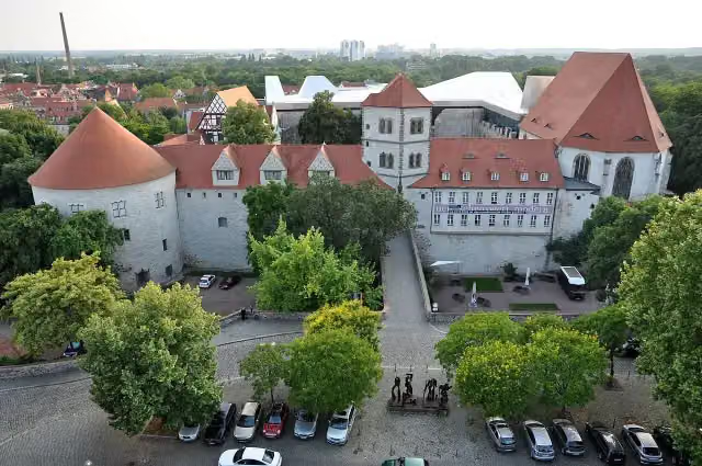 MoritzburgCastle · 601 m from the route
- 6
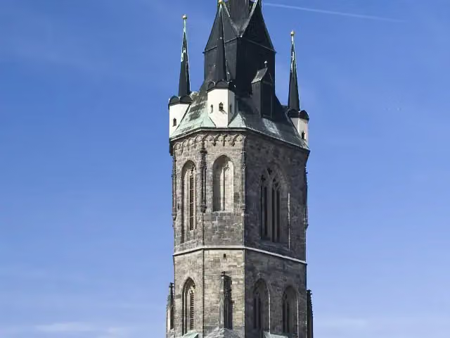 Roter TurmAttraction · 700 m from the route
- 7
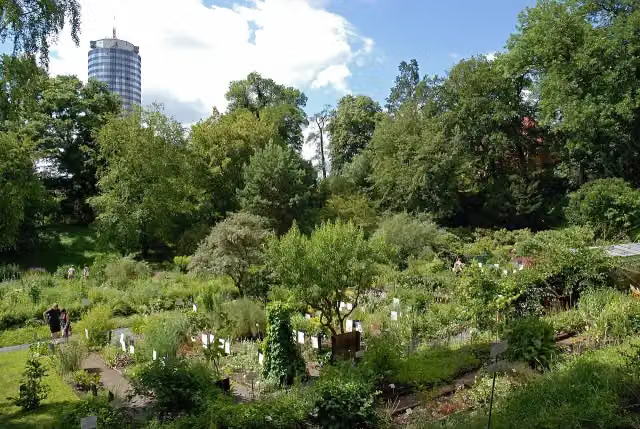 Botanical GardenAttraction · 656 m from the route
- 8
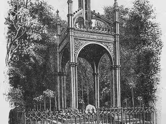 SchwedensteinMemorial · 6.5 km from the route
- 9
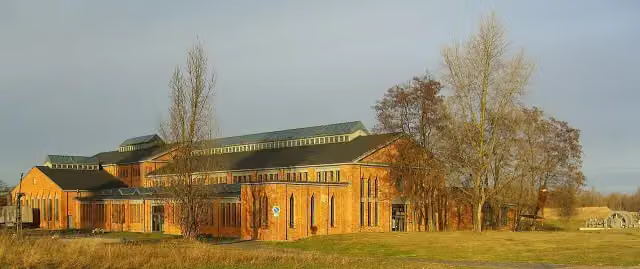 Pfännerhall, Das Tor zum GeiseltalMuseum · 8.6 km from the route
- 10
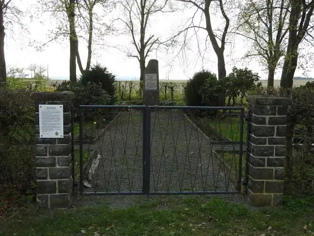 Gedenkstätte Todesmarsch KZ BuchenwaldMemorial · 105 m from the route
- 11
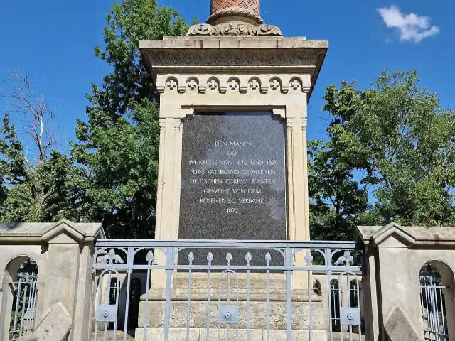 Denkmal 1870-71Memorial · 106 m from the route
- 12
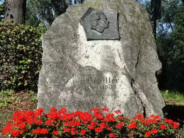 Schiller-GedenksteinMonument · 108 m from the route
- 13
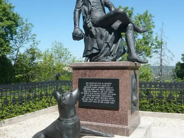 Bismarck DenkmalMemorial · 109 m from the route
- 14
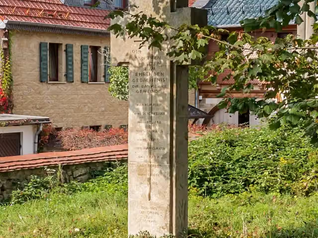 MemorialMemorial · 115 m from the route
- 15
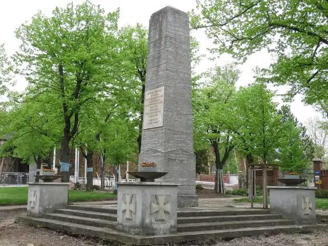 Kriegerdenkmal Bad DürrenbergMemorial · 118 m from the route
- 16
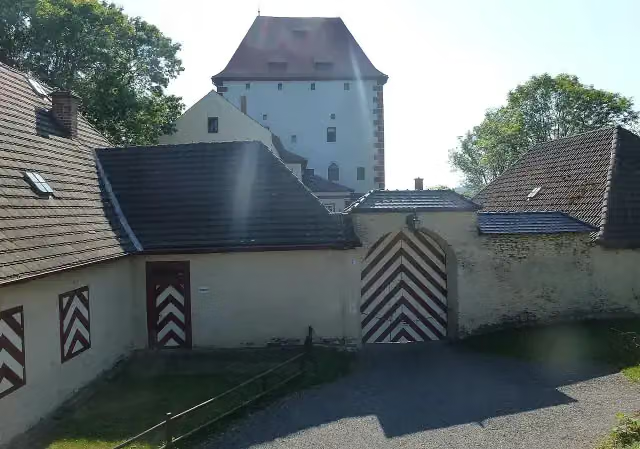 Kemenate ZiegenrückCastle · 120 m from the route
- 17
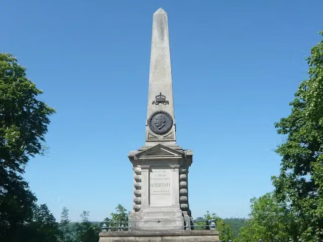 Kaiser-Wilhelm-Denkmal (Kaiserobelisk)Memorial · 127 m from the route
- 18
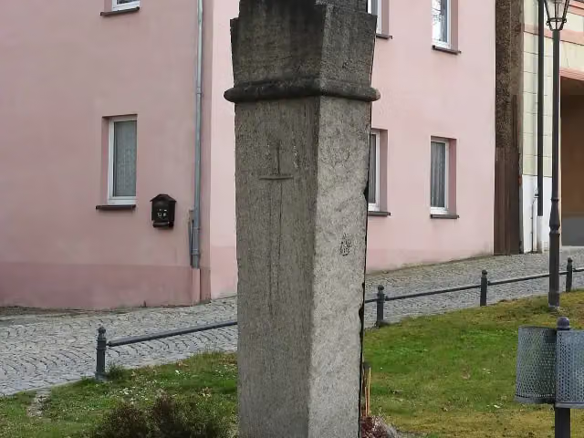 KriegerdenkmalMemorial · 128 m from the route
- 19
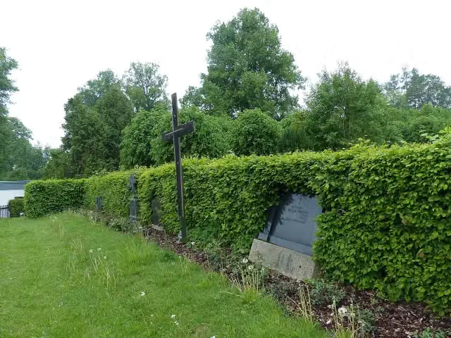 Langer GangMemorial · 132 m from the route
- 20
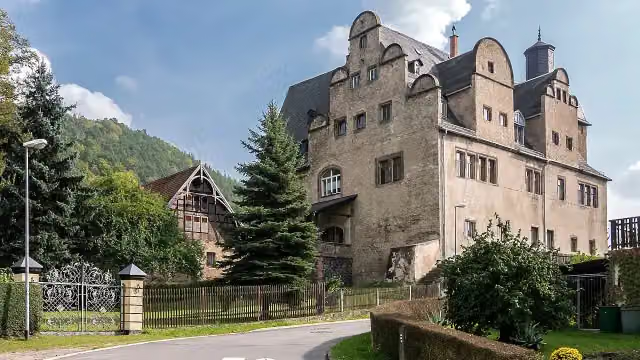 Burg ObernitzCastle · 137 m from the route
- 21
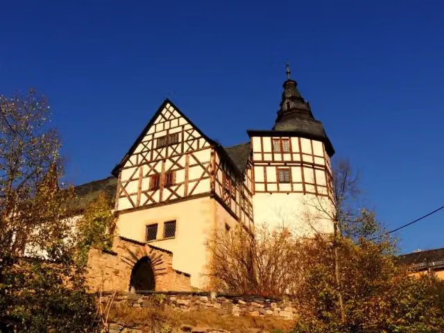 Burg KaulsdorfCastle · 147 m from the route
- 22
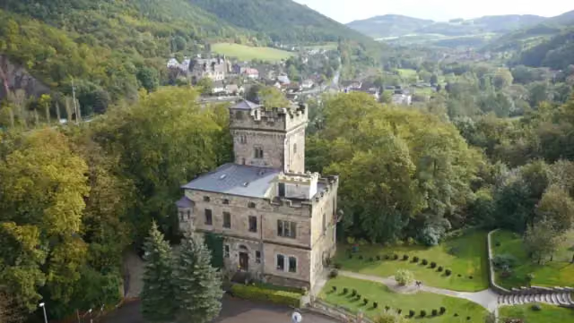 Schloss WetzelsteinCastle · 150 m from the route
- 23
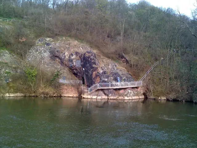 JahnhöhleAttraction · 153 m from the route
- 24
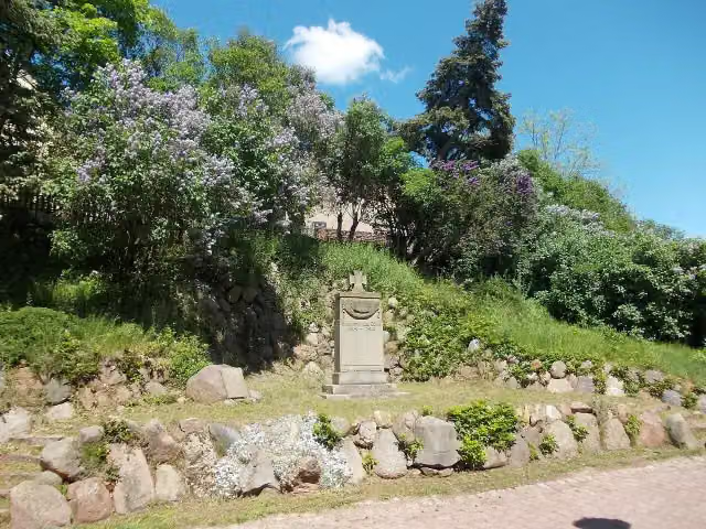 Kriegerdenkmal - 1. WeltkriegMemorial · 153 m from the route
- 25
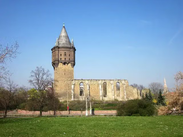 Sixti-RuineRuins · 155 m from the route
Explore more
More cycle routes around Zell
Frequently asked questions
How long is Saaleradweg?
Saaleradweg is 439.8 km long, in 10 stages of 44 km on average. Allow ± 2:55 h per stage of riding: 15 km an hour, without breaks.
How many stages does this route have?
The route is split into 10 stages of 44 km on average, 439.8 km in all. The shortest stage is 29.1 km, the longest 64.9 km.
Is this route a circular ride?
No, the route runs from Saalequelle bei Zell to Elberadweg bei Barby.
Where does this route start?
The route starts in Zell.
How hard is this route?
Moderate per stage, with 191 m per stage of climbing.
Are there toilets along this route?
Yes, there are 25 public toilets within 100 m of the route. The longest stretch without a toilet is 64.1 km.
Can you fill up with water along this route?
Yes, there are 13 water fountains and refill points within 100 m of the route.
What is there to see along this route?
Along the way you pass Traktor-Museum am Bahnhof, Erika-Fuchs-Haus, Museum für Comic und Sprachkunst and Johann-Christian-Reinhart-Cabinett.
Which stage of this route has the most points of interest?
Stage 7 (64.9 km), with 17 points of interest along the route, such as Schönburg Castle, Bergfried and Schloss Burgwerben.
Can I download this route as a GPX file?
Yes. Sign in with your Outdoor Pitstop account and choose Download GPX at the top of this page: 10 routes a month for free, unlimited with Pro.
Starting point
More routes from this place
Route data © OpenStreetMap contributors





