 Outdoor Pitstop
Cycle route · Naumburg (Saale) · Updated on 14 November 2026
Saaleradweg Etappe 7 - Von Naumburg (Saale) nach Halle (Saale) cycle route
Saaleradweg Etappe 7 - Von Naumburg (Saale) nach Halle (Saale) is a cycle route of 64.9 km from Naumburg (Saale). Along the way you'll find 264 benches, 1 water point, 4 public toilets and 2 bike pumps.
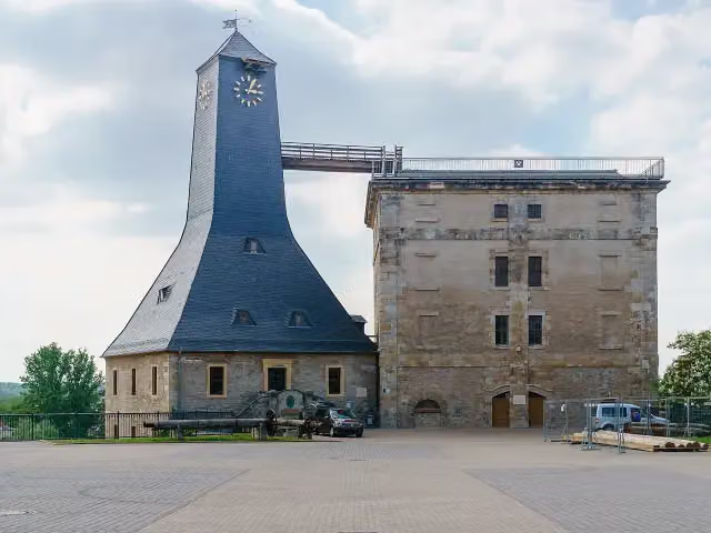
i
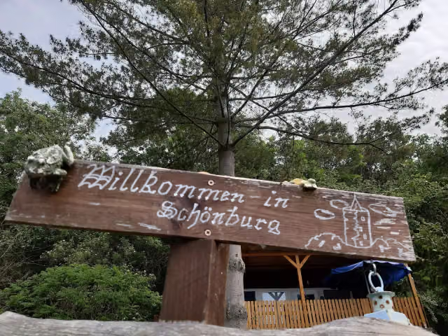
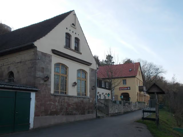
i
The route step by step
From start to finish, with what you pass along the way and the distance in between.
- 64.9 km
- ± 4:20 h
- ↑ 111 m · ↓ 133 m
- Hard
- From A to B
- Regional route
Start in Naumburg (Saale)
0 km3.2 km · 4 benches

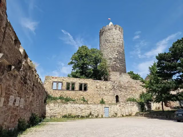
Schönburg Castle and 1 more
3.2 kmBergfried
15.4 km · 28 benches
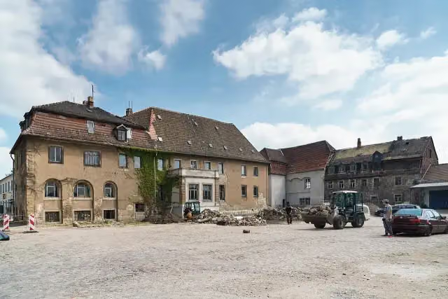
Schloss Burgwerben
18.6 kmCastle
3.6 km · 14 benches
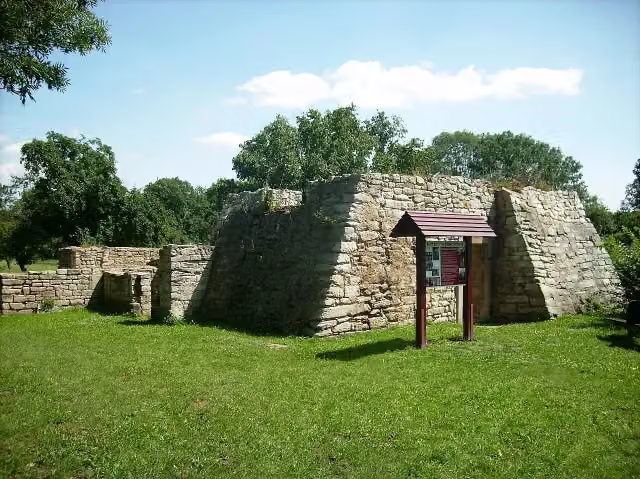
Kirchenruine Schkortleben
22.2 kmRuins
3.4 km · 5 benches
Kriegerdenkmal Kleinkorbetha
25.6 kmMemorial
5 km · 29 benches
Public toilet
30.5 km325 m · 6 benches
Borlach-Museum
30.9 kmMuseum
6.2 km · 9 benches
Grabhügel von Rössen and 2 more
37.1 kmGefallenendenkmal 1914-1918 and Nikolaikirche
3.7 km · 12 benches
Public toilet
40.8 km594 m · 8 benches
Schloss Merseburg and 1 more
41.4 kmKulturhistorisches Museum Schloss Merseburg
18.4 km · 50 benches
Planetarium Halle
59.8 kmAttraction
400 m · 6 benches
Halloren- und Salinemuseum and 1 more
60.2 kmDenkmalzug LKM V 10 C and bike pump
1.4 km · 24 benches
Water point
61.6 km330 m · 7 benches
Public toilet
62 km166 m · 3 benches
Public toilet and bike pump
62.1 km978 m · 29 benches
Heinrich-Heine-Felsen
63.1 kmMemorial
855 m · 22 benches
Burg Giebichenstein - Oberburg and 1 more
64 kmBurg Giebichenstein Kunsthochschule Halle - Campus Kunst
920 m · 8 benches
Finish
64.9 km
Longest stretch without a toilet: 30.5 kmBetween 0 km and 30.5 km there is no public toilet within 100 m of the route.
The route with the pitstops and sights within 100 m of it.
17 sights along the way
In the order you pass them. With the Outdoor Pitstop app you hear their story on the spot. 9 more along the route are on the map.
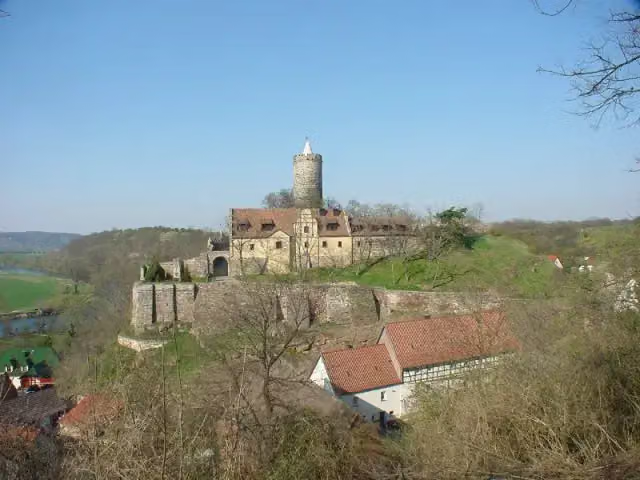
Castle · after 3.2 km
i
Photo: Rigorius · Wikimedia Commons · CC BY-SA 4.0View the photo on Wikimedia CommonsViewpoint · after 3.2 km
i
Photo: Radler59 (talk) · Wikimedia Commons · CC BY-SA 4.0View the photo on Wikimedia CommonsCastle · after 18.6 km
i
Photo: Jwaller · Wikimedia Commons · CC BY-SA 3.0View the photo on Wikimedia CommonsRuins · after 22.2 km
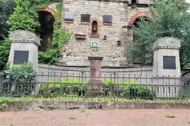
Memorial · after 25.6 km
i
Photo: Radler59 (talk) · Wikimedia Commons · CC BY-SA 4.0View the photo on Wikimedia CommonsMuseum · after 30.9 km
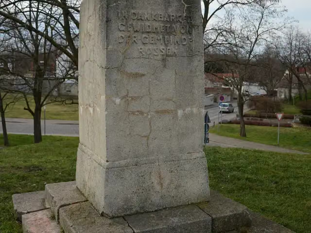
i
Photo: Olaf Meister · Wikimedia Commons · CC BY-SA 4.0View the photo on Wikimedia CommonsArchaeological site · after 37.1 km
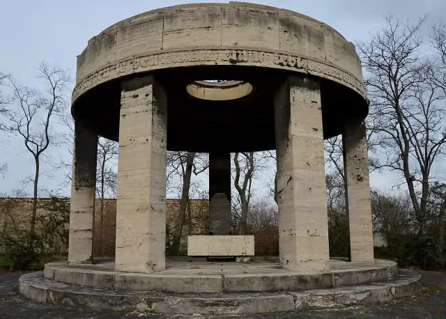
i
Photo: Olaf Meister · Wikimedia Commons · CC BY-SA 4.0View the photo on Wikimedia CommonsMemorial · after 37.1 km
Elevation and terrain
- Up
- ↑ 111 m
- Down
- ↓ 133 m
- Highest point
- 119 m
- Lowest point
- 78 m
- 1 flight of stairs
Elevation from Copernicus GLO-30 (European Union and ESA), smoothed.
produced using Copernicus WorldDEM-30 © DLR e.V. 2010-2014 and © Airbus Defence and Space GmbH 2014-2018 provided under COPERNICUS by the European Union and ESA; all rights reserved
Way types
64.9 km in total- Street: 17.3 km
- Track: 16.4 km
- Path: 12.6 km
- Road: 12 km
- Footpath (walk your bike): 3.7 km
- Cycle path: 1.5 km
- Busy road: 1.2 km
- Steps (carry your bike): 1 flight of stairs
Surfaces
64.9 km in total- Asphalt: 53.4 km
- Paved: 7.7 km
- Gravel: 3.3 km
- Unknown: 325 m
About the cycle route Saaleradweg Etappe 7 - Von Naumburg (Saale) nach Halle (Saale)
Updated on 14 November 2026, with data from OpenStreetMap, the AHN and Copernicus.
Where do you cycle?
Saaleradweg Etappe 7 - Von Naumburg (Saale) nach Halle (Saale) is a cycle route of 64.9 km that starts in Naumburg (Saale). It does not end where it starts. You start in Naumburg (Saale) and finish in Halle (Saale). Along the way you pass Schönburg Castle (after 3.2 km), Bergfried (after 3.2 km) and Schloss Burgwerben (after 18.6 km).
How hard is the route?
You climb 111 m in total and descend 133 m. There is 1 flight of steps along the way. Allow ± 4:20 h, without breaks. The level is hard.
What roads do you cycle on?
The longest part is street (17.3 km), track (16.4 km) and path (12.6 km). Of the surface, 53.4 km asphalt and 7.7 km paved. For 325 m the surface is not known.
Pitstops along the way
Within 100 metres of the route there are 264 benches, 1 water point, 4 public toilets and 2 bike pumps. You can fill your bottle after 61.6 km. The longest stretch without a toilet is 30.5 km. The Outdoor Pitstop app navigates you there.
Part of Saaleradweg
Cycle routes nearby
5- Saaleradweg Etappe 6 - Von Jena nach Naumburg (Saale)Moderate · From A to B50.8 km
- [D11] Ostsee-Oberbayern 07 [Sachsen-Anhalt Süd]Hard · From A to B74.1 km
- UnstrutradwegHard · From A to B190.5 km
- DolmenradwegModerate · From A to B52.7 km
- Saale-Unstrut-Elster-Rad-Acht (alternative Streckenteile)Easy · From A to B2.6 km
Sights nearby
Within 10 km of the route, best known first.
- 1
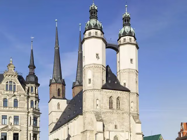 Marktkirche Unser Lieben FrauenAttraction · 618 m from the route
- 2
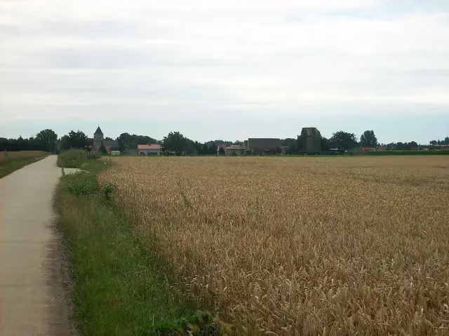 Denkmal Schlacht bei RoßbachMemorial · 3.7 km from the route
- 3
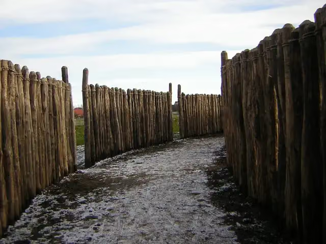 Sonnenobservatorium GoseckAttraction · 1.3 km from the route
- 4
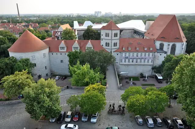 MoritzburgCastle · 601 m from the route
- 5
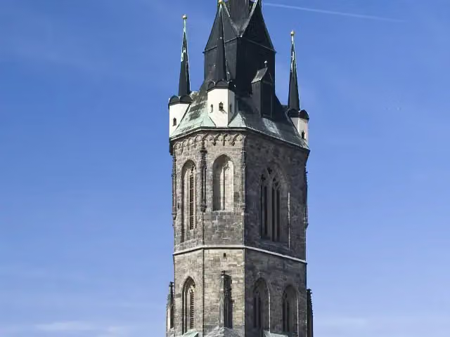 Roter TurmAttraction · 700 m from the route
- 6
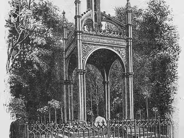 SchwedensteinMemorial · 6.5 km from the route
- 7
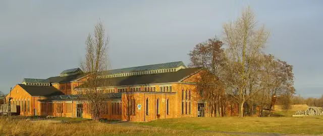 Pfännerhall, Das Tor zum GeiseltalMuseum · 8.6 km from the route
- 8
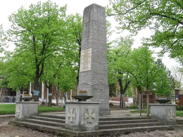 Kriegerdenkmal Bad DürrenbergMemorial · 118 m from the route
- 9
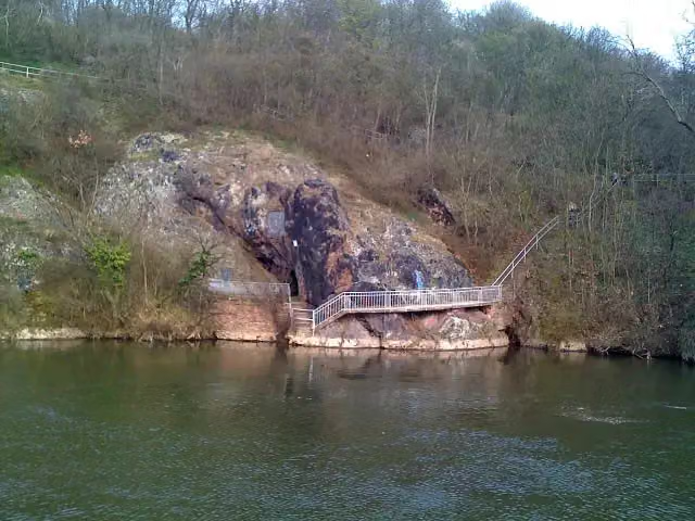 JahnhöhleAttraction · 153 m from the route
- 10
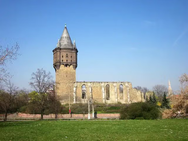 Sixti-RuineRuins · 155 m from the route
- 11
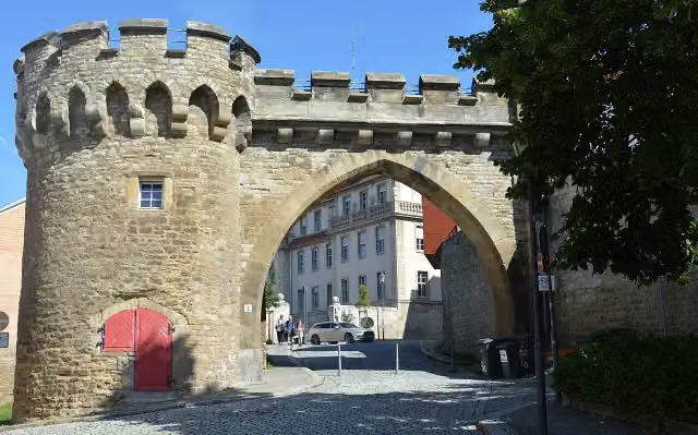 Krummes TorAttraction · 169 m from the route
- 12
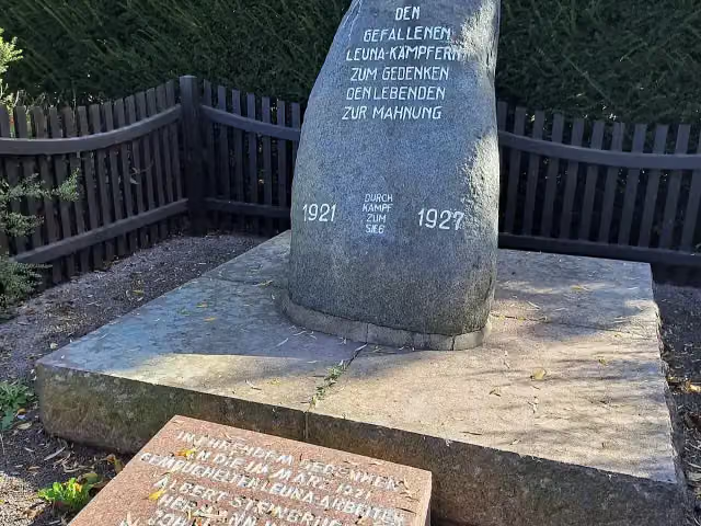 MärzgefalleneMemorial · 219 m from the route
- 13
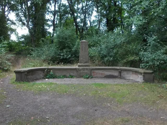 Eichendorff-BankAttraction · 331 m from the route
- 14
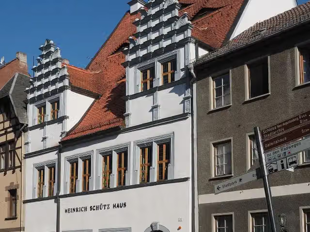 Heinrich-Schütz-HausMuseum · 348 m from the route
- 15
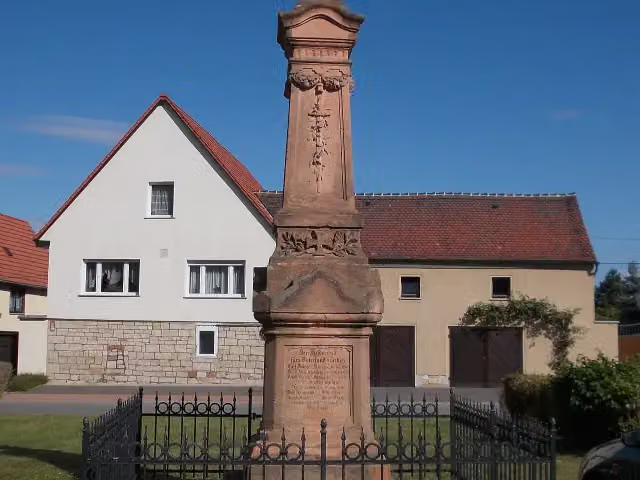 Kriegerdenkmal LeißlingMemorial · 373 m from the route
- 16
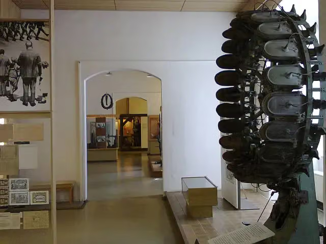 Schuhmuseum WeißenfelsMuseum · 396 m from the route
- 17
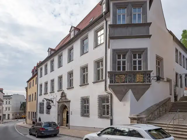 GeleitshausMuseum · 403 m from the route
- 18
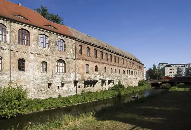 Neue ResidenzAttraction · 407 m from the route
- 19
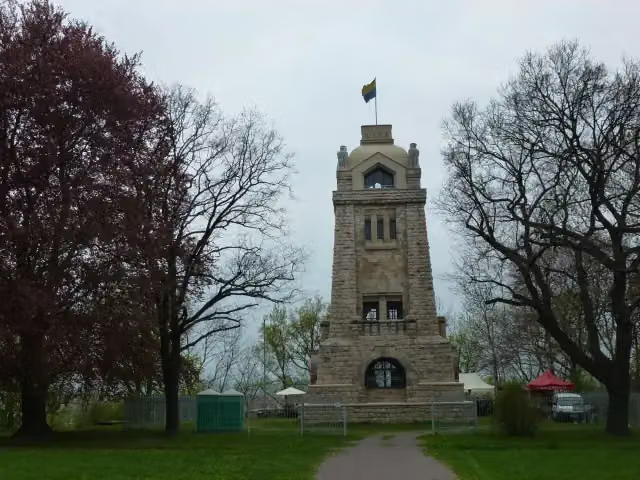 Bismarckturm WeißenfelsObservation tower · 417 m from the route
- 20
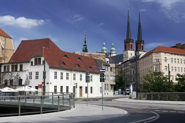 Friedemann-Bach-HausMuseum · 420 m from the route
- 21
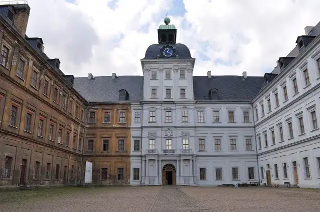 Schloss Neu-AugustusburgAttraction · 431 m from the route
- 22
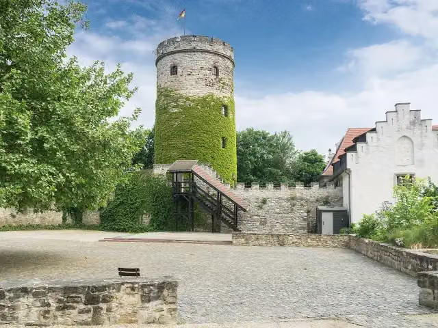 Bergfried Schloss SchkopauObservation tower · 434 m from the route
- 23
 SchusterjungeMemorial · 442 m from the route
- 24
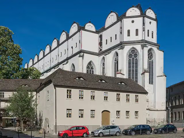 Halle CathedralAttraction · 452 m from the route
- 25
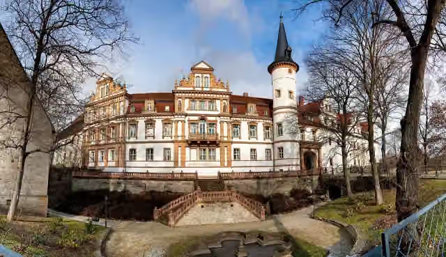 Schloss SchkopauCastle · 465 m from the route
Explore more
More cycle routes around Naumburg (Saale)
Frequently asked questions
How long is Saaleradweg Etappe 7 - Von Naumburg (Saale) nach Halle (Saale)?
Saaleradweg Etappe 7 - Von Naumburg (Saale) nach Halle (Saale) is 64.9 km long. Allow ± 4:20 h of riding: 15 km an hour, without breaks.
Is this route a circular ride?
No, the route runs from Naumburg (Saale) to Halle (Saale).
Where does this route start?
The route starts in Naumburg (Saale).
How hard is this route?
Hard, with 111 m of climbing.
Are there toilets along this route?
Yes, there are 4 public toilets within 100 m of the route. The longest stretch without a toilet is 30.5 km.
Can you fill up with water along this route?
Yes, there are 1 water point within 100 m of the route.
What is there to see along this route?
Along the way you pass Schönburg Castle, Bergfried and Schloss Burgwerben.
Can I download this route as a GPX file?
Yes. Sign in with your Outdoor Pitstop account and choose Download GPX at the top of this page: 10 routes a month for free, unlimited with Pro.
Starting point
More routes from this place
Route data © OpenStreetMap contributors





