 Outdoor Pitstop
Cycle route · Norden · Updated on 14 November 2026
Dortmund-Ems-Kanal cycle route
Dortmund-Ems-Kanal is a cycle route of 350.8 km from Norden. Along the way you'll find 810 benches, 6 water fountains and refill points, 25 public toilets, 8 bike pumps and 2 honesty boxes and farm vending machines.
i
i
The route step by step
From start to finish, with what you pass along the way and the distance in between.
- 350.8 km
- ± 23:25 h
- ↑ 283 m · ↓ 210 m
- Hard
- From A to B
- Regional route
Start in Norden
0 kmAt the start: public toilet and honesty box.
186 m · bench
2 public toilets
186 m624 m · 13 benches
Public toilet
810 m418 m · 39 benches

Observation tower
1.2 kmPublic toilet and bike pump
6.2 km · 62 benches
Ostfriesisches Teemuseum and 1 more
7.4 kmLudgerikirche
217 m · 7 benches
Public toilet, water point and bike pump
7.6 km216 m · 5 benches
Public toilet and water point
7.8 km162 m · bench
Gedenkstätte Platz der Synagoge
8 kmPublic toilet
638 m · 13 benches
Public toilet
8.6 km1.5 km · bench
Bike pump
10.1 km2 km
Public toilet
12.1 km12.7 km · bench
Kirchenmuseum Marienhafe
24.8 kmPublic toilet
17.5 km · 4 benches
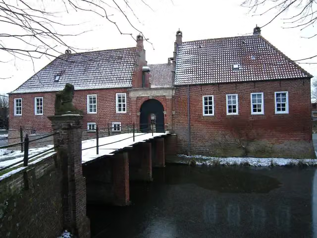
Burg Hinta
42.3 kmCastle
1.3 km · 3 benches
Honesty box
43.6 km6.1 km · 18 benches
Water point
49.7 km1.1 km · 21 benches
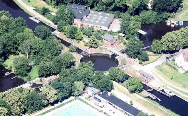
Kesselschleuse Emden
50.8 kmAttraction
11.8 km · 9 benches
Public toilet
62.6 km11.3 km · 19 benches
Water point and bike pump
73.9 km9.3 km · 10 benches
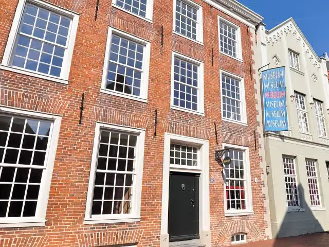
Heimatmuseum and 2 more
83.2 kmRathausturm, Haus Samson and public toilet
382 m · 13 benches
Bünting Tee Museum
83.6 kmMuseum
653 m · 28 benches
Public toilet and water point
84.3 km7.9 km · 4 benches
Public toilet
92.1 km29.8 km · 21 benches
Observation tower
121.9 kmObservation tower
11.5 km · 27 benches
Public toilet
133.4 km35.4 km · 87 benches
Public toilet and water point
168.8 km18.2 km · 36 benches
Bike pump
187 km2.1 km · 16 benches
Bike pump
189.1 km30.8 km · 39 benches
Observation tower
219.9 kmObservation tower
11.3 km · 31 benches
Nasses Dreieck
231.3 kmAttraction
8.6 km · 23 benches
Public toilet
239.9 km
Show the other 7 steps
57.2 km · 102 benches
Public toilet and bike pump
297.1 km36.3 km · 79 benches
3 public toilets
333.4 km354 m · 4 benches
Altes Schiffshebewerk
333.7 kmPublic toilet and bike pump
381 m · 10 benches
Public toilet
334.1 km15 km · 40 benches
Public toilet
349.1 km822 m · 15 benches
Observation tower
349.9 kmObservation tower
934 m · 7 benches
Finish
350.8 km
Longest stretch without a toilet: 71.1 kmBetween 168.8 km and 239.9 km there is no public toilet within 100 m of the route.
The route with the pitstops and sights within 100 m of it.
16 sights along the way
In the order you pass them. With the Outdoor Pitstop app you hear their story on the spot. 8 more along the route are on the map.

Observation tower · after 1.3 km
Museum · after 7.4 km
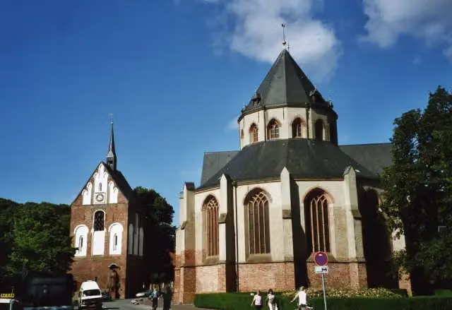
Attraction · after 7.5 km
Memorial · after 8 km
Museum · after 24.9 km
i
Photo: Dickelbers · Wikimedia Commons · CC BY-SA 3.0View the photo on Wikimedia CommonsCastle · after 42.3 km
i
Photo: Bin im Garten · Wikimedia Commons · CC BY-SA 3.0View the photo on Wikimedia CommonsAttraction · after 50.8 km
i
Photo: Heimatmuseum Leer · Wikimedia Commons · CC BY-SA 4.0View the photo on Wikimedia CommonsMuseum · after 83.2 km
Elevation and terrain
- Up
- ↑ 283 m
- Down
- ↓ 210 m
- Highest point
- 87 m
- Lowest point
- -1 m
Nowhere steeper than 5%.
Elevation from Copernicus GLO-30 (European Union and ESA), smoothed.
produced using Copernicus WorldDEM-30 © DLR e.V. 2010-2014 and © Airbus Defence and Space GmbH 2014-2018 provided under COPERNICUS by the European Union and ESA; all rights reserved
Way types
350.8 km in total- Track: 154.4 km
- Road: 79.9 km
- Path: 50.8 km
- Street: 45.3 km
- Cycle path: 8 km
- Busy road: 6.4 km
- Footpath (walk your bike): 3.3 km
- Unknown: 2.2 km
Surfaces
350.8 km in total- Asphalt: 208.7 km
- Gravel: 87.1 km
- Paved: 35.2 km
- Unknown: 19.3 km
About the cycle route Dortmund-Ems-Kanal
Updated on 14 November 2026, with data from OpenStreetMap, the AHN and Copernicus.
Where do you cycle?
Dortmund-Ems-Kanal is a cycle route of 350.8 km that starts in Norden. It does not end where it starts. Along the way you pass Observation tower (after 1.3 km), Ostfriesisches Teemuseum (after 7.4 km) and Ludgerikirche (after 7.5 km).
How hard is the route?
You climb 283 m in total and descend 210 m. Allow ± 23:25 h, without breaks. The level is hard.
What roads do you cycle on?
The longest part is track (154.4 km), road (79.9 km) and path (50.8 km). Of the surface, 208.7 km asphalt and 87.1 km gravel. For 19.3 km the surface is not known.
Pitstops along the way
Within 100 metres of the route there are 810 benches, 6 water fountains and refill points, 25 public toilets, 8 bike pumps and 2 honesty boxes and farm vending machines. You can fill your bottle after 7.6 km, after 7.8 km, after 49.7 km, after 73.9 km, after 84.3 km and after 168.9 km. The longest stretch without a toilet is 71.1 km. The Outdoor Pitstop app navigates you there.
The cycle route along the Dortmund-Ems-Kanal (Dortmund-Ems Canal) runs for 351 km between Norden in East Frisia and Datteln in the Münsterland, following the canal and the Ems for long stretches. You ride through Emden, Leer, Papenburg, Haren, Meppen and Riesenbeck, and south of Münster via Amelsbüren, Senden and Olfen. On the way are the East Frisian Tea Museum in Norden, the Emden lock basin and the old boat lift. Just over 40 per cent is on farm tracks, and 60 per cent is asphalt. Drinking water is scarce: we know of 6 points, plus 25 toilets.
Cycle routes nearby
3Sights nearby
Within 10 km of the route, best known first.
- 1
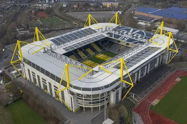 SIGNAL IDUNA PARKAttraction · 3.6 km from the route
- 2
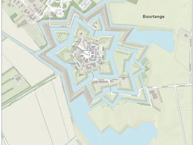 Fort BourtangeCastle · 7.8 km from the route
- 3
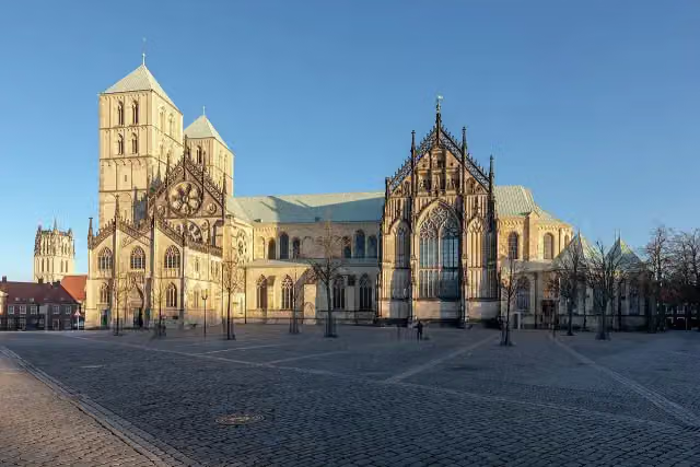 St.-Paulus-DomAttraction · 2.2 km from the route
- 4
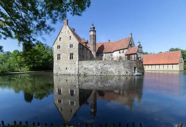 Vischering CastleAttraction · 1.9 km from the route
- 5
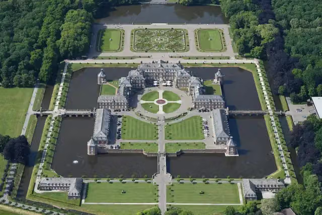 Schloss NordkirchenCastle · 7.1 km from the route
- 6
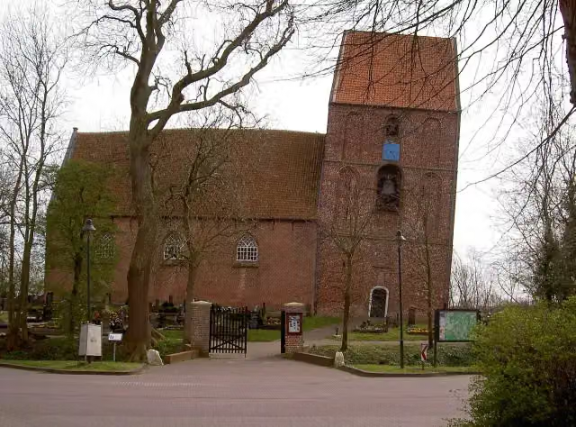 Schiefer Turm von SuurhusenAttraction · 1.4 km from the route
- 7
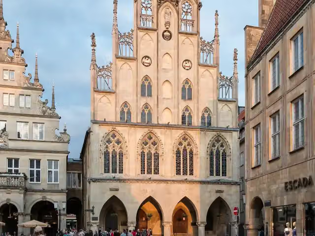 Historisches RathausAttraction · 2 km from the route
- 8
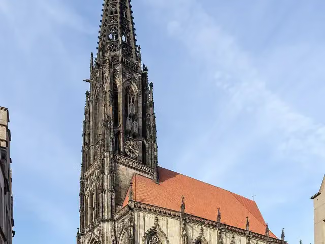 St. LambertiAttraction · 2 km from the route
- 9
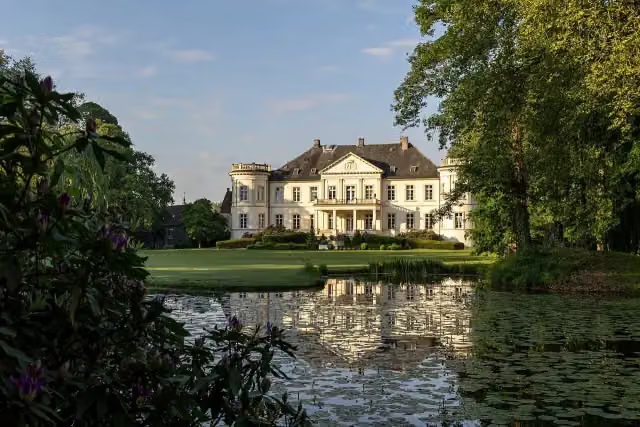 Boarding School Schloss BuldernAttraction · 4.7 km from the route
- 10
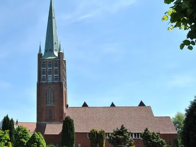 JaL-BibliothekAttraction · 428 m from the route
- 11
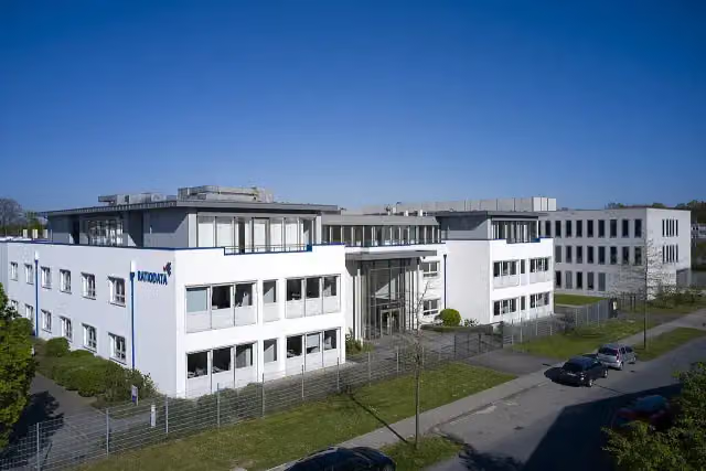 FriedenskastanieMemorial · 573 m from the route
- 12
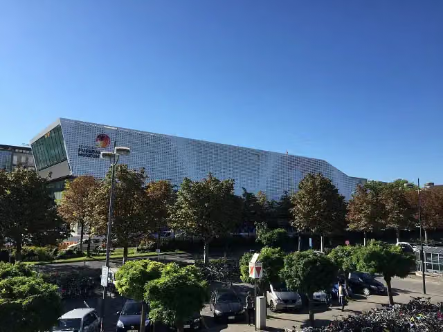 Deutsches FußballmuseumMuseum · 1 km from the route
- 13
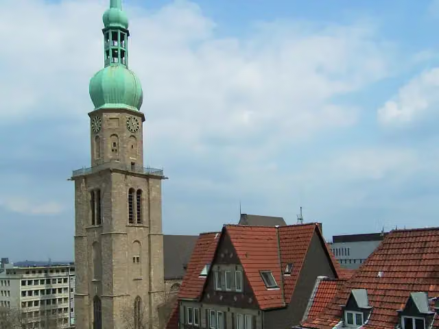 Sankt Reinoldi-KircheAttraction · 1.5 km from the route
- 14
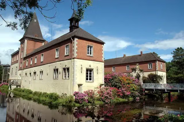 Schloss DankernCastle · 3.2 km from the route
- 15
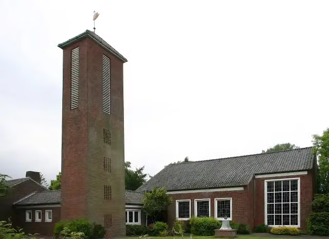 Dokumentationsstätte Gnadenkirche TidofeldMuseum · 85 m from the route
- 16
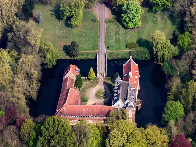 Schloß SendenCastle · 122 m from the route
- 17
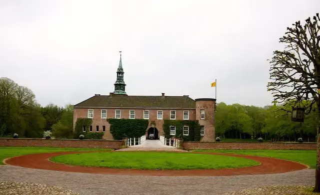 Schloss LütetsburgCastle · 129 m from the route
- 18
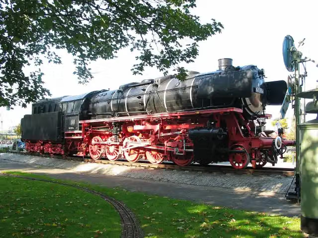 Dampflok 043 903-4Attraction · 153 m from the route
- 19
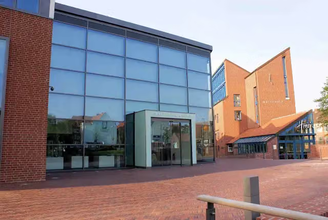 Kunsthalle EmdenAttraction · 170 m from the route
- 20
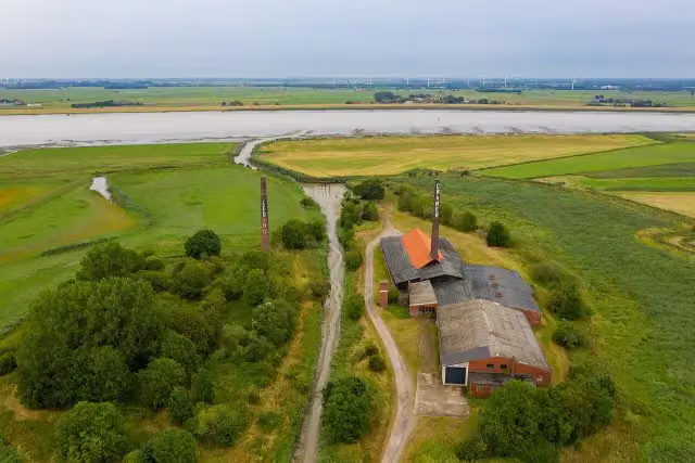 ZiegeleimuseumMuseum · 203 m from the route
- 21
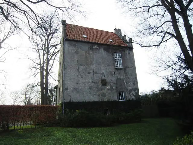 HarderwykenburgCastle · 208 m from the route
- 22
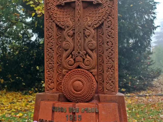 KreuzsteinMemorial · 216 m from the route
- 23
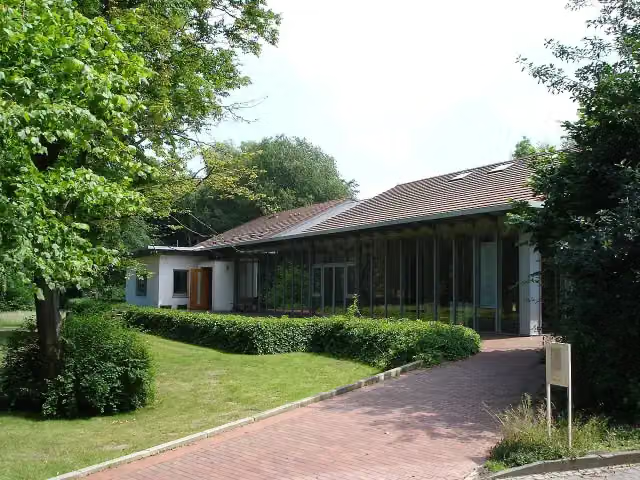 Kunsthaus KannenMuseum · 236 m from the route
- 24
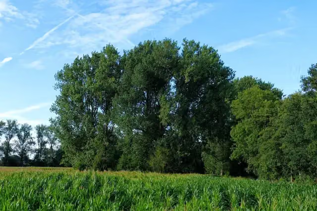 Burg NienhausArchaeological site · 269 m from the route
- 25
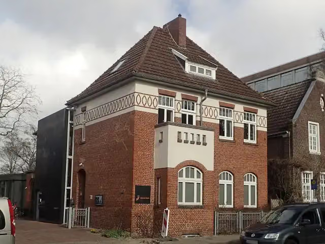 Ehemalige Jüdische Schule Leer Gedenk- und BegegnungsstätteMuseum · 333 m from the route
Explore more
More cycle routes around Norden
Frequently asked questions
How long is Dortmund-Ems-Kanal?
Dortmund-Ems-Kanal is 350.8 km long. Allow ± 23:25 h of riding: 15 km an hour, without breaks.
Is this route a circular ride?
No, the route starts and ends at different spots.
Where does this route start?
The route starts in Norden.
How hard is this route?
Hard, with 283 m of climbing.
Are there toilets along this route?
Yes, there are 25 public toilets within 100 m of the route. The longest stretch without a toilet is 71.1 km.
Can you fill up with water along this route?
Yes, there are 6 water fountains and refill points within 100 m of the route.
What is there to see along this route?
Along the way you pass Observation tower, Ostfriesisches Teemuseum and Ludgerikirche.
Can I download this route as a GPX file?
Yes. Sign in with your Outdoor Pitstop account and choose Download GPX at the top of this page: 10 routes a month for free, unlimited with Pro.
Starting point
More routes from this place
Route data © OpenStreetMap contributors





