 Outdoor Pitstop
Cycle route · Coevorden · Updated on 5 November 2026
United Countries Tour cycle route
United Countries Tour is a cycle route of 194.3 km from Coevorden. Along the way: 209 benches and picnic tables, 2 water fountains and refill points and 3 public toilets.
i
i
The route step by step
From start to finish, with what you pass along the way and the distance in between.
- 194.3 km
- ± 6:30 h per stage
- ↑ 49 m · ↓ 52 m
- Hard per stage
- From A to B
- Regional route
Pick a stage to see the pitstops per kilometre. Along the way: 209 benches and picnic tables, 2 water fountains and refill points and 3 public toilets.
Follow these steps in the appThe route with the water points, toilets and sights within 100 m of it.
4 sights along the way
In the order you pass them. With the Outdoor Pitstop app you hear their story on the spot.

Observation tower
- Story
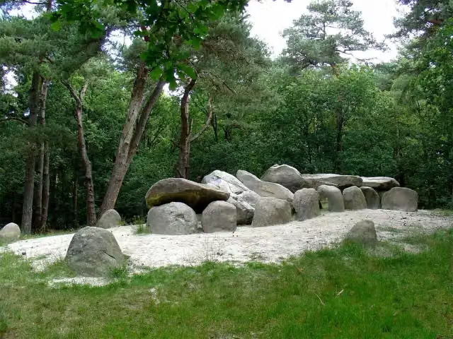
Hunebed D45 Emmerdennen
Archaeological site
- Audio story · 1 min
i
Photo: Winius · Wikimedia Commons · CC BY-SA 3.0View the photo on Wikimedia Commons - Audio story · 2 min
i
Photo: Janwillemvanaalst · Wikimedia Commons · CC BY-SA 4.0View the photo on Wikimedia CommonsFort Bourtange
Castle
Stages (2)
Elevation and terrain
- Up
- ↑ 49 m
- Down
- ↓ 52 m
- Highest point
- 27 m
- Lowest point
- -0 m
Nowhere steeper than 5%.
Elevation from AHN (Rijkswaterstaat), smoothed.
Way types
194.3 km in total- Road: 99.6 km
- Cycle path: 66.8 km
- Street: 12.3 km
- Track: 5.4 km
- Busy road: 5 km
- Path: 2.5 km
- Footpath (walk your bike): 300 m
- Unknown: 2 km
Surfaces
194.3 km in total- Asphalt: 61.8 km
- Paved: 55.6 km
- Gravel: 8.4 km
- Unpaved: 150 m
- Unknown: 68 km
About the cycle route United Countries Tour
Updated on 5 November 2026, with data from OpenStreetMap and the AHN.
Where do you cycle?
United Countries Tour is a cycle route of 194.3 km that starts in Coevorden. It does not end where it starts.
How hard is the route?
You climb 49 m in total and descend 52 m. Allow ± 6:30 h per stage, without breaks. The level is hard per stage.
What roads do you cycle on?
The longest part is road (99.6 km), cycle path (66.8 km) and street (12.3 km). Of the surface, 61.8 km asphalt and 55.6 km paved. For 68 km the surface is not known.
Pitstops along the way
Within 100 metres of the route there are 209 benches and picnic tables, 2 water fountains and refill points and 3 public toilets. The Outdoor Pitstop app navigates you there.
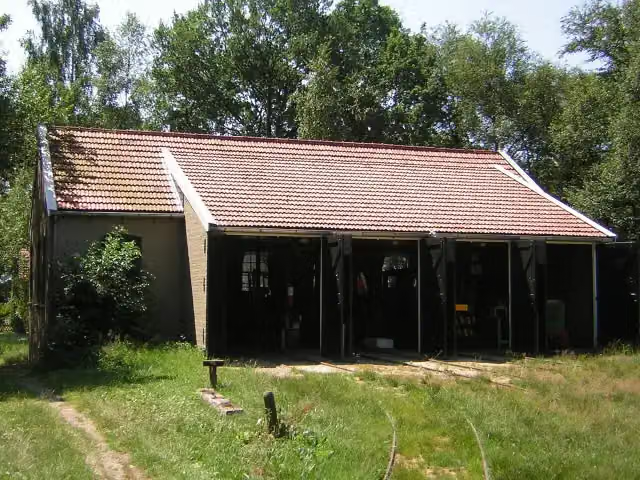
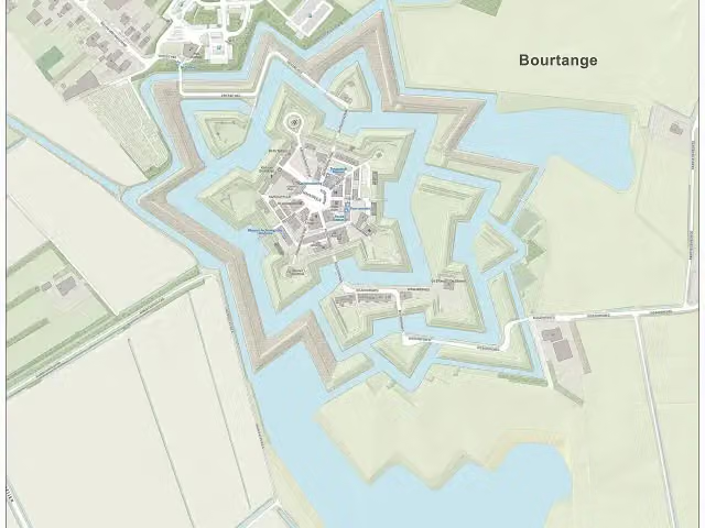
The United Countries Tour is a long-distance cycle route of about 194 km through south-east Drenthe, East Groningen and the Emsland region of Germany, crossing the border again and again. You ride past places such as Ter Apel, Zwartemeer, Weiteveen, Schoonebeek and Roswinkel, through the Bargerveen, the Sellingerbossen woods and the Bourtanger Moor - Veenland nature park, and past the Bourtange fortress, hunebed D45 in the Emmerdennen and the Industrieel Smalspoor Museum (narrow-gauge railway museum). It is flat; about a third is cycle path. For such a long route we know of few facilities: three toilets and two water taps. The route is managed by Emsland Tourismus GmbH.
Cycle routes nearby
5Sights nearby
Within 10 km of the route, best known first.
- 1
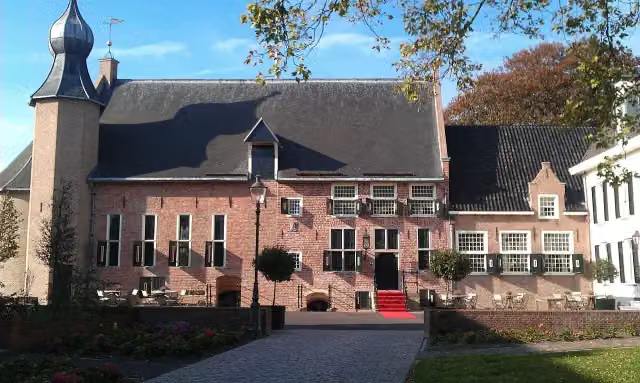 Kasteel van CoevordenCastle · 190 m from the route
- 2
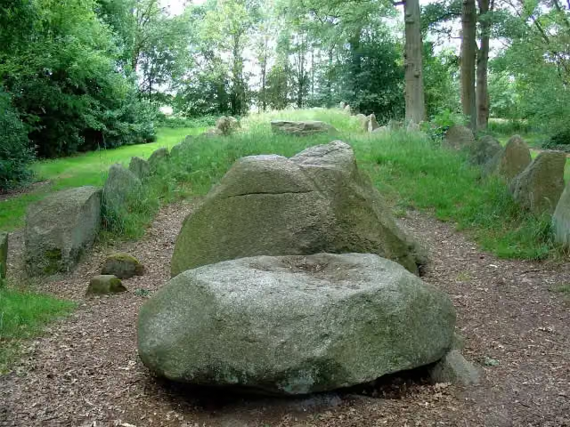 Hunebed D43 Emmen SchimmeresArchaeological site · 968 m from the route
- 3
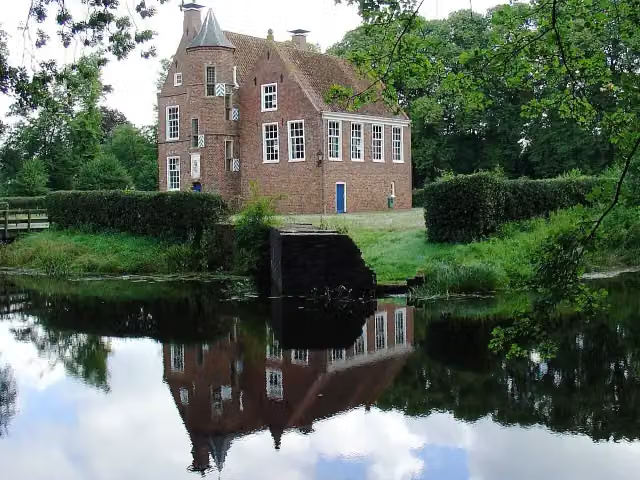 Burcht WeddeCastle · 150 m from the route
- 4
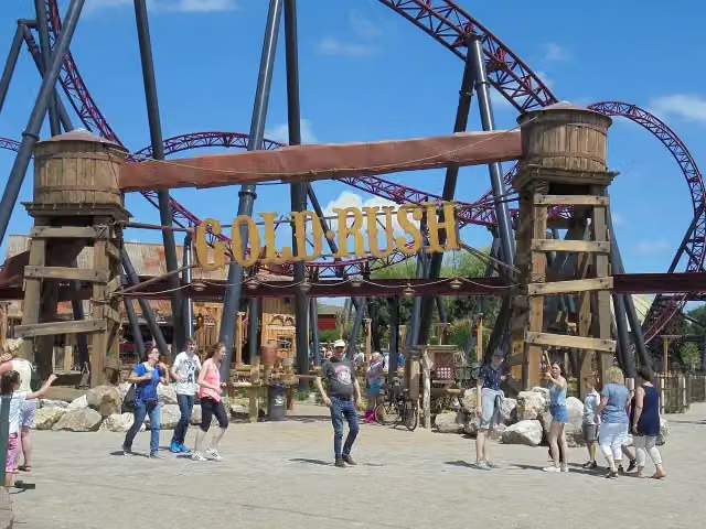 Gold RushAttraction · 9.2 km from the route
- 5
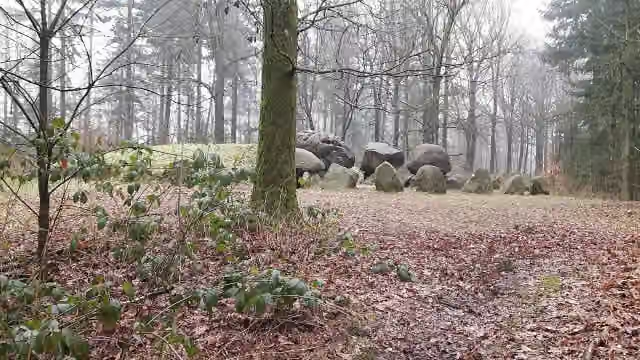 Hunebed D49 Papeloze kerkArchaeological site · 9.1 km from the route
- 6
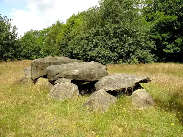 Hunebed D41 Emmen NoordArchaeological site · 1.5 km from the route
- 7
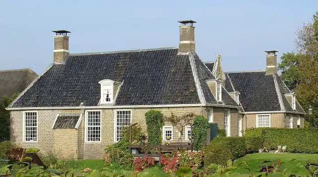 De KlenckeCastle · 8.2 km from the route
- 8
 Red Bandits AdventureAttraction · 9.1 km from the route
- 9
 TweestrydAttraction · 466 m from the route
- 10
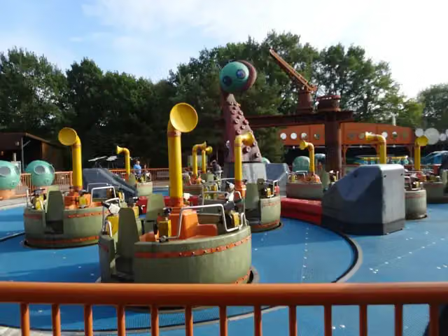 Expedition NautilusAttraction · 9 km from the route
- 11
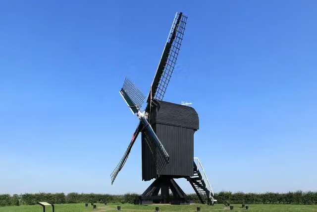 Standerdmolen Ter HaarAttraction · 768 m from the route
- 12
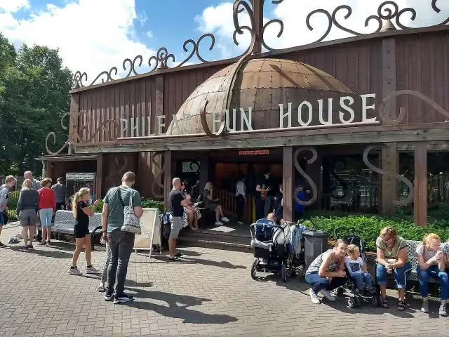 Phileas Fun HouseAttraction · 9.1 km from the route
- 13
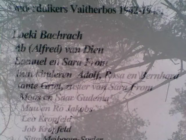 Het onderduikershol 1942-1945Attraction · 5.1 km from the route
- 14
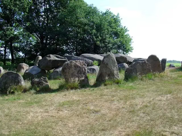 Hunebed D50 Noord-SleenArchaeological site · 7.5 km from the route
- 15
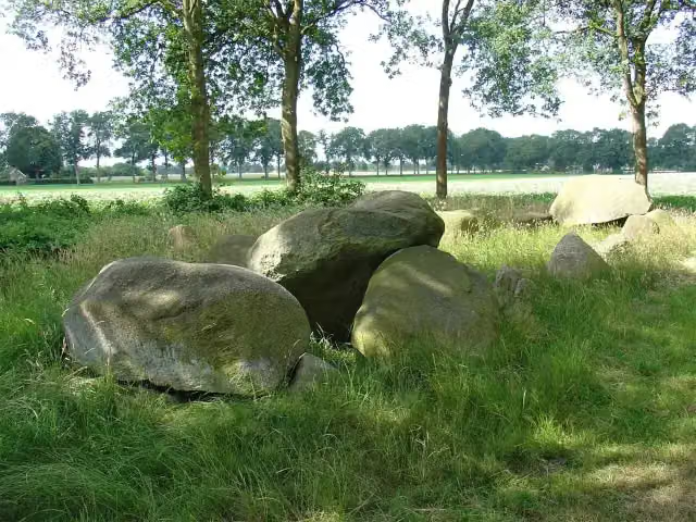 Hunebed D51 Noord-SleenArchaeological site · 7.5 km from the route
- 16
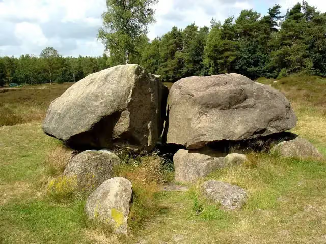 Hunebed D40 Boswachterij EmmenArchaeological site · 2.5 km from the route
- 17
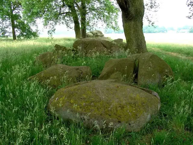 Hunebed D37 Valthe-OArchaeological site · 5.2 km from the route
- 18
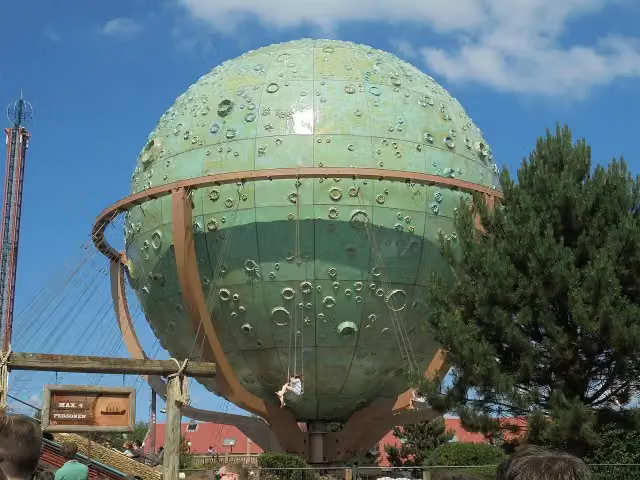 ApolloAttraction · 9 km from the route
- 19
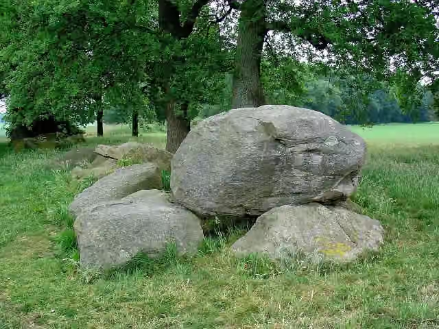 Hunebed D36 Valthe-OArchaeological site · 5.2 km from the route
- 20
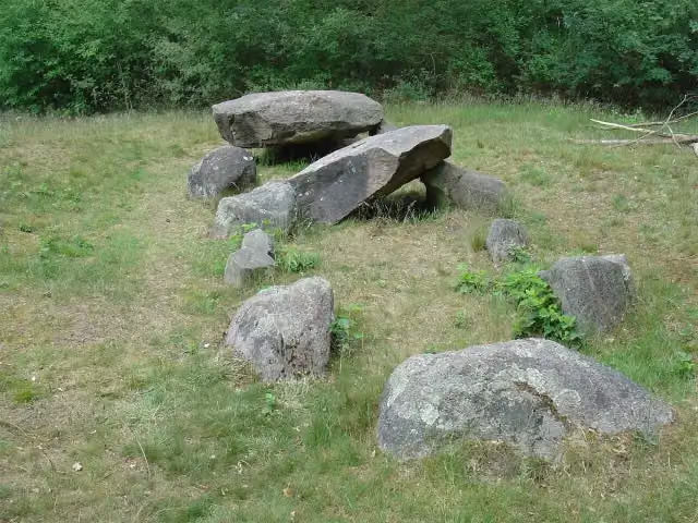 Hunebed D35 Valthe Zuid-westArchaeological site · 5.5 km from the route
- 21
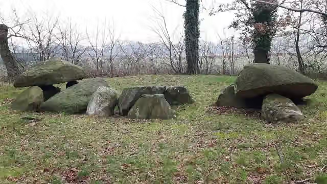 Hunebed D32 OdoornArchaeological site · 8.6 km from the route
- 22
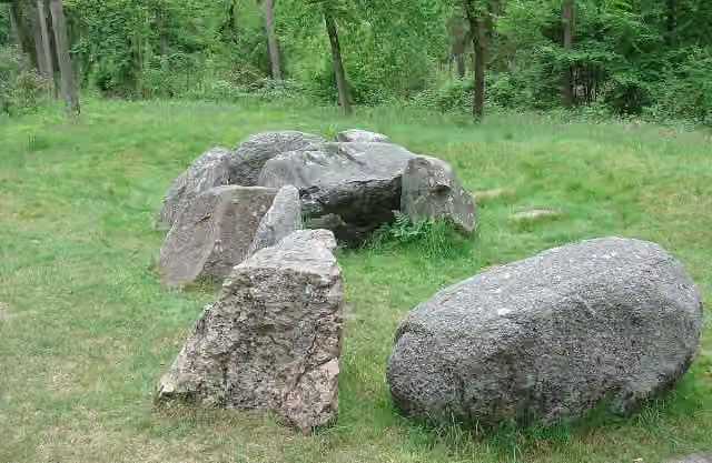 Hunebed D31 HunzebosArchaeological site · 8.7 km from the route
- 23
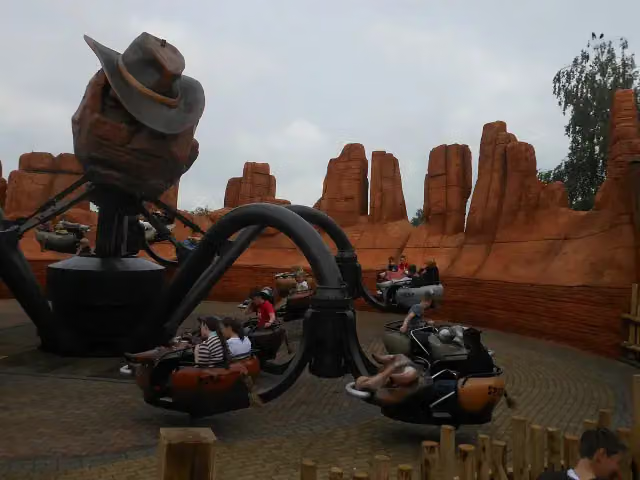 El ToritoAttraction · 9 km from the route
- 24
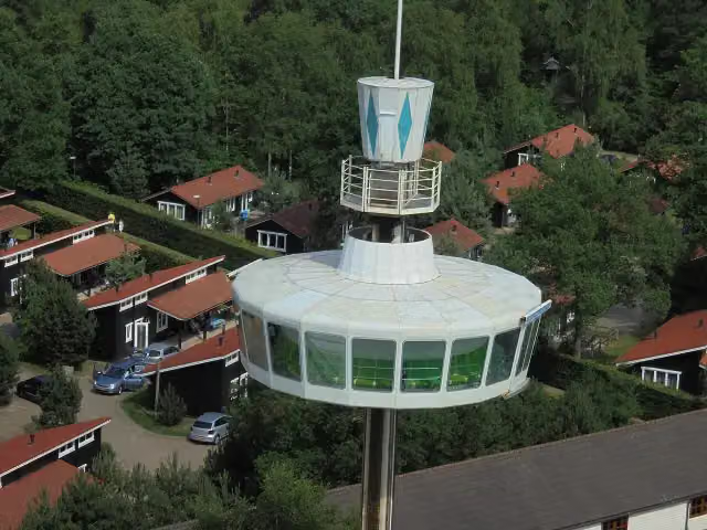 Sky TowerAttraction · 9.1 km from the route
- 25
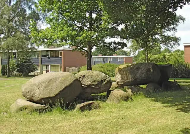 Hunebed D46 Emmen - AngelsloArchaeological site · 1.1 km from the route
Explore more
More cycle routes around Coevorden
Frequently asked questions
How long is United Countries Tour?
United Countries Tour is 194.3 km long, in 2 stages of 97.2 km on average. Allow ± 6:30 h per stage of riding: 15 km an hour, without breaks.
Is this route a circular ride?
No, the route starts and ends at different spots.
Where does this route start?
The route starts in Coevorden.
How hard is this route?
Hard per stage, with 25 m per stage of climbing.
Are there toilets along this route?
Yes, there are 3 public toilets within 100 m of the route.
Can you fill up with water along this route?
Yes, there are 2 water fountains and refill points within 100 m of the route.
What is there to see along this route?
Along the way you pass Observation tower, Hunebed D45 Emmerdennen and Industrieel Smalspoor Museum.
Start place
More routes from this place
Route data © OpenStreetMap contributors





