 Outdoor Pitstop
Cycle route · Waadhoeke · Updated on 6 November 2026
Elfstedenroute - 10 - Franeker - Dokkum cycle route
Elfstedenroute - 10 - Franeker - Dokkum is a cycle route of 63.6 km from Waadhoeke. Along the way you'll find 52 benches and picnic tables, 2 water fountains and refill points, 1 public toilet and 1 bike pump.
i
The route step by step
From start to finish, with what you pass along the way and the distance in between.
- 63.6 km
- ± 4:15 h
- ↑ 10 m · ↓ 9 m
- Hard
- From A to B
- Regional route
Start in Waadhoeke
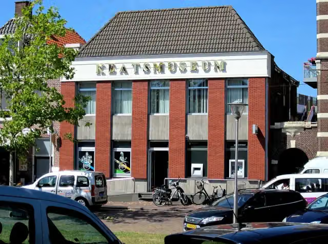
0 kmAt the start: Keatsmuseum.
45.5 km · 36 benches
Public toilet, water point and bike pump
45.5 km18 km · 12 benches

Museum Dokkum
63.4 kmMuseum · Audio story · 1 min
160 m · 4 benches
Finish
63.6 kmAt the finish: water point.
Longest stretch without a toilet: 45.5 kmBetween 0 km and 45.5 km there is no public toilet within 100 m of the route.
The route with the pitstops and sights within 100 m of it.
2 sights along the way
In the order you pass them. With the Outdoor Pitstop app you hear their story on the spot.
 Story
i
Photo: Ieneach fan 'e Esk · Wikimedia Commons · CC BY-SA 4.0View the photo on Wikimedia CommonsKeatsmuseum
Museum · after 62 m
- Audio story · 1 min
Museum Dokkum
Museum · after 63.4 km
Elevation and terrain
- Up
- ↑ 10 m
- Down
- ↓ 9 m
- Highest point
- 5 m
- Lowest point
- -0 m
Nowhere steeper than 5%.
Elevation from AHN (Rijkswaterstaat), smoothed.
Way types
63.6 km in total- Road: 34 km
- Cycle path: 19.4 km
- Street: 6.8 km
- Busy road: 3.3 km
Surfaces
63.6 km in total- Asphalt: 32.2 km
- Paved: 12.8 km
- Gravel: 2.6 km
- Unknown: 15.9 km
About the cycle route Elfstedenroute - 10 - Franeker - Dokkum
Updated on 6 November 2026, with data from OpenStreetMap and the AHN.
Where do you cycle?
Elfstedenroute - 10 - Franeker - Dokkum is a cycle route of 63.6 km that starts in Waadhoeke. It does not end where it starts. You start in Franeker and finish in Dokkum. Along the way you pass Keatsmuseum (after 62 m) and Museum Dokkum (after 63.4 km).
How hard is the route?
The route is almost flat. You climb 10 m in total and descend 9 m. Allow ± 4:15 h, without breaks. The level is hard.
What roads do you cycle on?
The longest part is road (34 km), cycle path (19.4 km) and street (6.8 km). Of the surface, 32.2 km asphalt and 12.8 km paved. For 15.9 km the surface is not known.
Pitstops along the way
Within 100 metres of the route there are 52 benches and picnic tables, 2 water fountains and refill points, 1 public toilet and 1 bike pump. You can fill your bottle after 45.5 km and at the finish. The longest stretch without a toilet is 45.5 km. The Outdoor Pitstop app navigates you there.
This stage of the Elfstedenroute (Eleven Cities route) is a cycle route of about 64 km from Franeker to Dokkum, the longest stage. You ride through the municipalities of Waadhoeke and Noardeast-Fryslân via Dongjum, Berltsum, Sint-Annaparochie and Vrouwenparochie, and then through Marrum and Ferwert to Dokkum, home of Museum Dokkum. It is flat; about half is asphalt and a short stretch runs along a busy road. We know of one toilet, two water taps and one bike pump on the way. The full Elfstedenroute is some 265 km.
Part of Elfstedenroute
Website of the routeCycle routes nearby
5- Elfstedenroute - 09 - Harlingen - FranekerEasy · From A to B15.3 km
- LF Kustroute - 04 - Holwerd - HarlingenHard · From A to B70.5 km
- EuroVelo 12 - North Sea Cycle Route - part Nederland eastHard · From A to B357.9 km
- Elfstedenroute - 08 - Bolsward - HarlingenEasy · From A to B20.4 km
- LF Kustroute - 05 - Harlingen - Den HelderHard · From A to B74.1 km
Sights nearby
Within 10 km of the route, best known first.
- 1
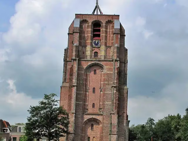 OldehoveAttraction · 9.6 km from the route
- 2
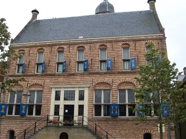 Museum MartenaMuseum · 216 m from the route
- 3
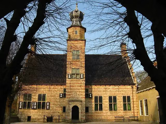 PoptaslotCastle · 5.9 km from the route
- 4
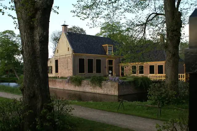 DekemastateMuseum · 6.5 km from the route
- 5
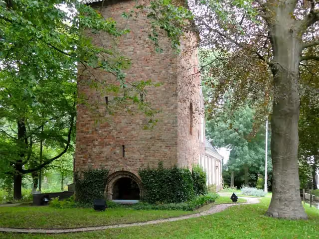 SchierstinsCastle · 9.5 km from the route
- 6
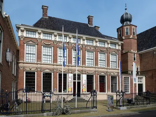 Keramiekmuseum PrincessehofMuseum · 9.6 km from the route
- 7
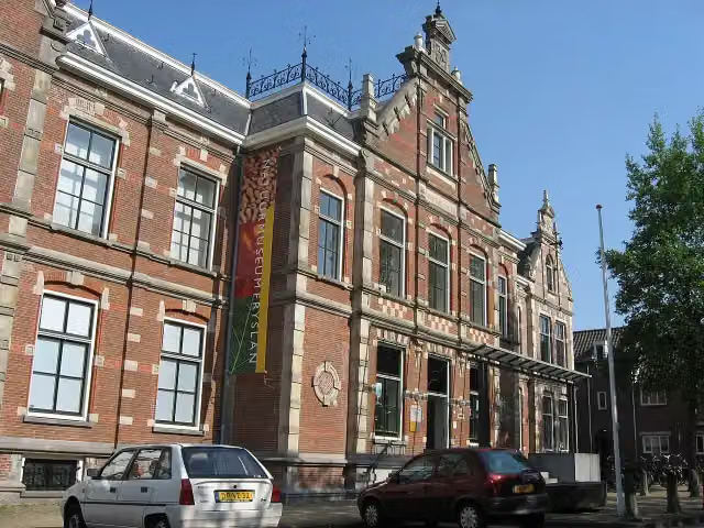 Natuurmuseum FryslânMuseum · 9.7 km from the route
- 8
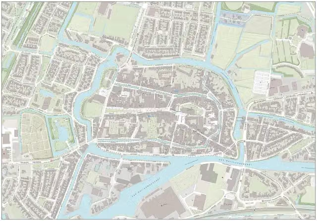 Royal Eise Eisinga PlanetariumMuseum · 270 m from the route
- 9
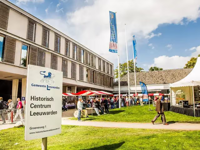 Historisch Centrum LeeuwardenMuseum · 9.5 km from the route
- 10
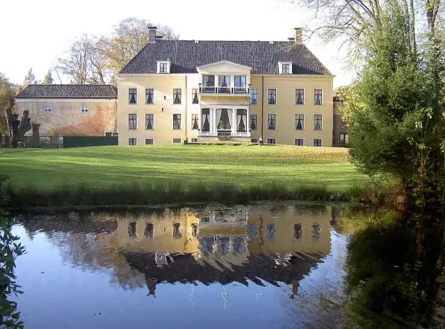 FogelsanghstateMuseum · 9.6 km from the route
- 11
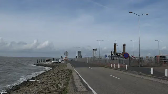 Dam Holwerd-AmelandRuins · 3.7 km from the route
- 12
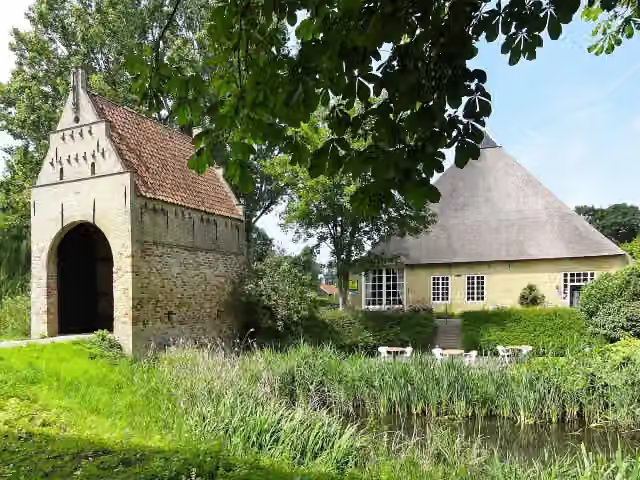 LiauckamastateCastle · 4.6 km from the route
- 13
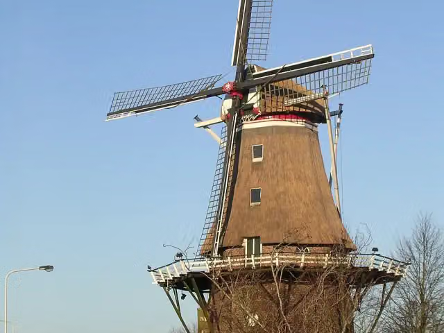 Molenmuseum De EendrachtMuseum · 6.5 km from the route
- 14
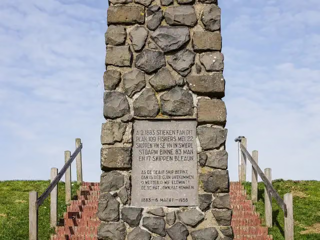 VissersmonumentMemorial · 6.1 km from the route
- 15
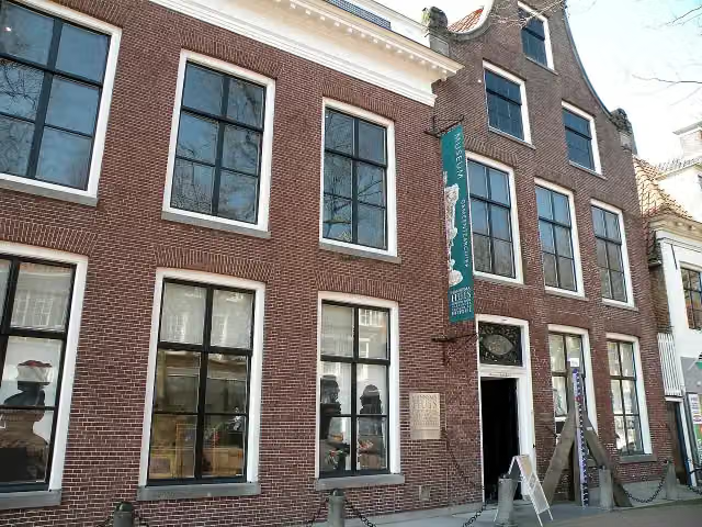 Gemeentemuseum Het HannemahuisMuseum · 8.1 km from the route
- 16
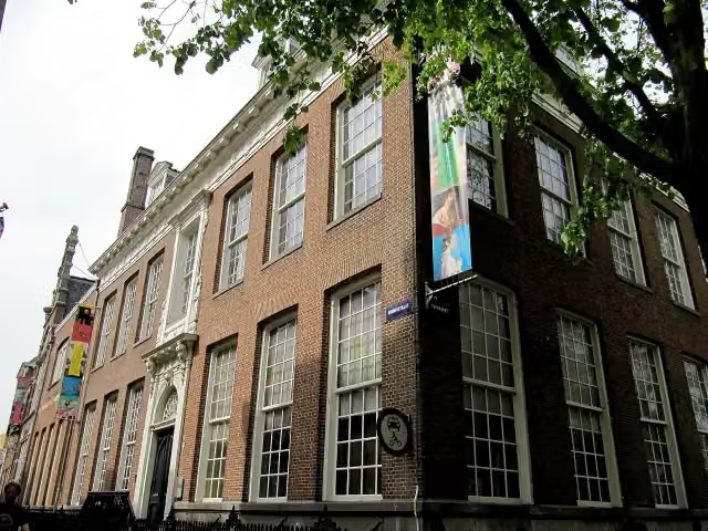 Huis Van EysingaMuseum · 10 km from the route
- 17
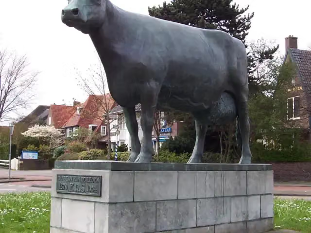 Us MemMemorial · 9.4 km from the route
- 18
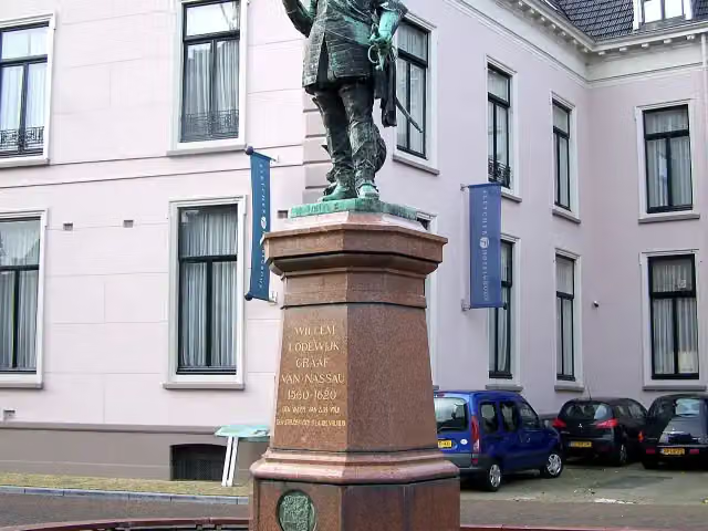 Us HeitMemorial · 9.8 km from the route
- 19
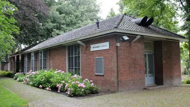 Pier Pander MuseumMuseum · 9.5 km from the route
- 20
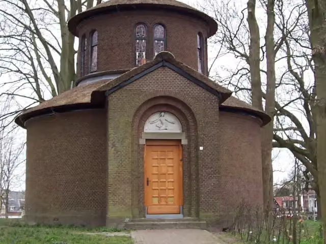 Pier PandertempelMuseum · 9.4 km from the route
- 21
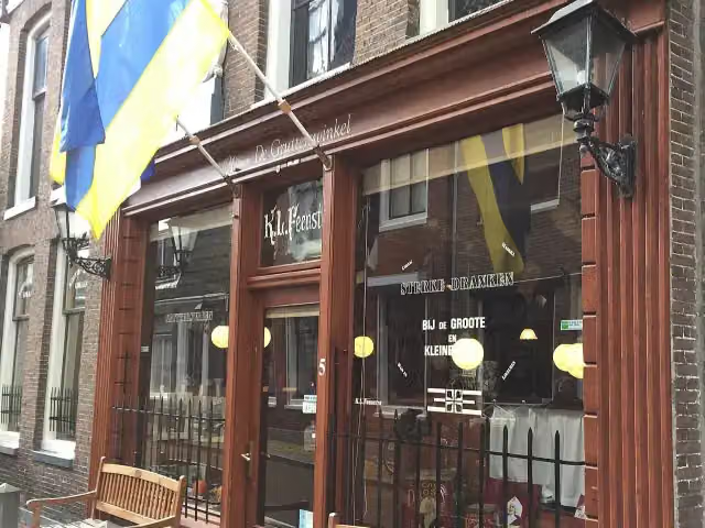 Museum de GrutterswinkelMuseum · 9.8 km from the route
- 22
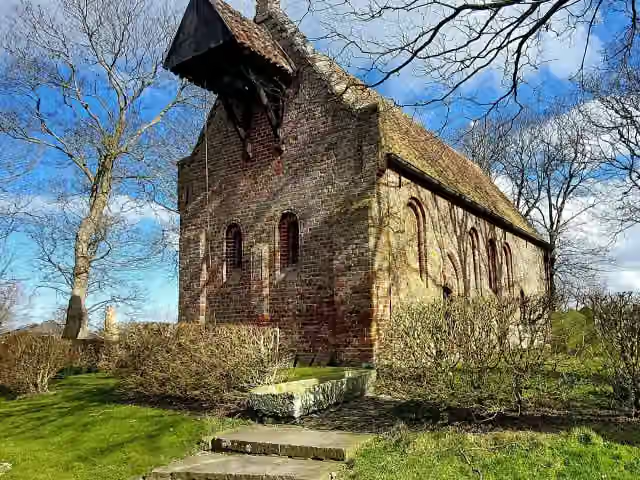 Kerkmuseum JannumMuseum · 4.1 km from the route
- 23
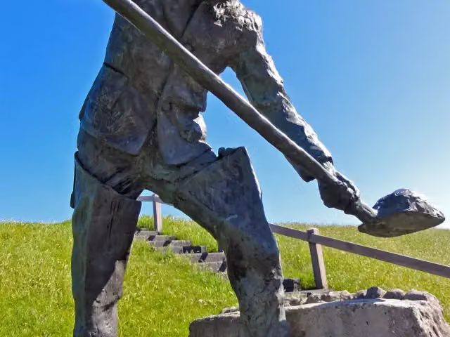 De SlikwerkerMemorial · 4.2 km from the route
- 24
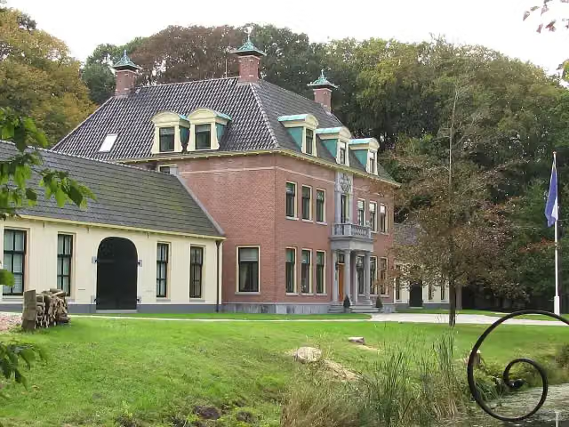 Rinsma StateCastle · 4.3 km from the route
- 25
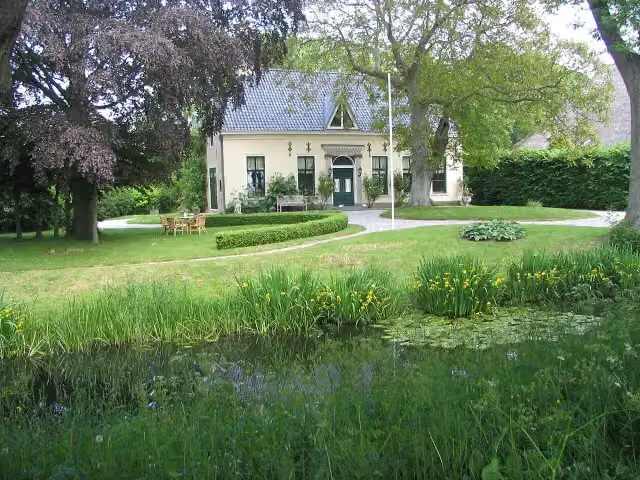 HarstastateCastle · 135 m from the route
Explore more
Frequently asked questions
How long is Elfstedenroute - 10 - Franeker - Dokkum?
Elfstedenroute - 10 - Franeker - Dokkum is 63.6 km long. Allow ± 4:15 h of riding: 15 km an hour, without breaks.
Is this route a circular ride?
No, the route runs from Franeker to Dokkum.
Where does this route start?
The route starts in Waadhoeke.
How hard is this route?
Hard, with 10 m of climbing.
Are there toilets along this route?
Yes, there are 1 public toilet within 100 m of the route. The longest stretch without a toilet is 45.5 km.
Can you fill up with water along this route?
Yes, there are 2 water fountains and refill points within 100 m of the route.
What is there to see along this route?
Along the way you pass Keatsmuseum and Museum Dokkum.
Starting point
More routes from this place
Route data © OpenStreetMap contributors





