 Outdoor Pitstop
Cycle route · Harlingen · Updated on 5 November 2026
LF Kustroute - 05 - Harlingen - Den Helder cycle route
LF Kustroute - 05 - Harlingen - Den Helder is a cycle route of 74.1 km from Harlingen. Along the way: 55 benches and picnic tables, 1 water point, 2 public toilets and 1 food stand.
i
i
i
The route step by step
From start to finish, with what you pass along the way and the distance in between.
- 74.1 km
- ± 4:55 h
- ↑ 46 m · ↓ 45 m
- Hard
- From A to B
- National route
- Colour of the signs
Start in Harlingen
0 kmAt the start: public toilet and water point.
936 m · 9 benches

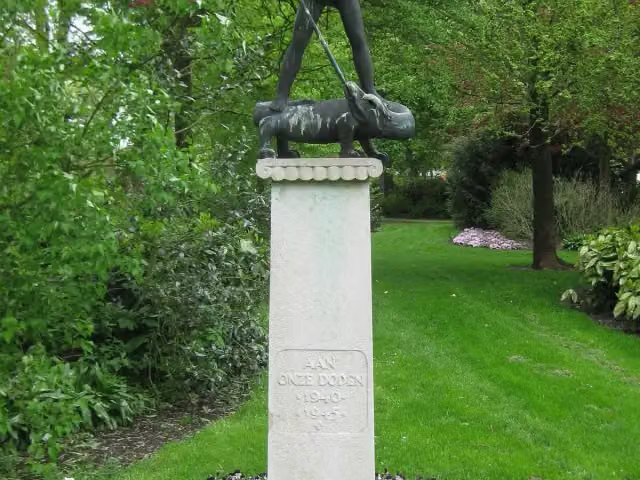
Stienen Man
936 mMemorial
4.7 km · 6 benches
Public toilet
5.6 km8 km · 2 benches
Museum
19.3 km · bench
Vlietermonument
33 kmObservation tower
6 km · bench
Observation tower
39 kmObservation tower
4.8 km · 7 benches
Wieringer Eilandmuseum Jan Lont
43.8 kmMuseum
5.2 km · bench
Food stand
49 km22.9 km · 6 benches
Fort Westoever
71.9 kmFort
2.1 km · 20 benches
Finish
74.1 km
Longest stretch without a toilet: 68.4 kmBetween 5.6 km and 74.1 km there is no public toilet within 100 m of the route.
The route with the pitstops and sights within 100 m of it.
6 sights along the way
In the order you pass them. With the Outdoor Pitstop app you hear their story on the spot.

Memorial · after 936 m
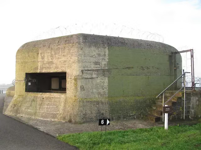
Kazemattenmuseum Kornwerderzand
Museum · after 13.7 km
 Story
i
Photo: Johann H. Addicks / Btr · Wikimedia Commons · CC BY-SA 3.0View the photo on Wikimedia CommonsVlietermonument
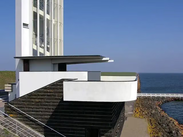
Observation tower · after 33 km
Observation tower · after 39 km
Museum · after 43.8 km
- Story
i
Photo: Jim van der Mee from Netherlands · Wikimedia Commons · CC BY-SA 2.0View the photo on Wikimedia CommonsFort Westoever
Fort · after 71.9 km
Elevation and terrain
- Up
- ↑ 46 m
- Down
- ↓ 45 m
- Highest point
- 10 m
- Lowest point
- -1 m
Nowhere steeper than 5%.
Elevation from AHN (Rijkswaterstaat), smoothed.
Way types
74.1 km in total- Cycle path: 39.1 km
- Road: 30.8 km
- Street: 975 m
- Busy road: 700 m
- Footpath (walk your bike): 350 m
- Unknown: 2.1 km
Surfaces
74.1 km in total- Asphalt: 49.5 km
- Paved: 5.4 km
- Gravel: 775 m
- Unknown: 18.4 km
About the cycle route LF Kustroute - 05 - Harlingen - Den Helder
Updated on 5 November 2026, with data from OpenStreetMap and the AHN.
Where do you cycle?
LF Kustroute - 05 - Harlingen - Den Helder is a cycle route of 74.1 km that starts in Harlingen. It does not end where it starts. You start in Harlingen and finish in Den Helder. Along the way you pass Stienen Man (after 936 m), Kazemattenmuseum Kornwerderzand (after 13.7 km) and Vlietermonument (after 33 km).
How hard is the route?
You climb 46 m in total and descend 45 m. Allow ± 4:55 h, without breaks. The level is hard.
What roads do you cycle on?
The longest part is cycle path (39.1 km), road (30.8 km) and street (975 m). Of the surface, 49.5 km asphalt and 5.4 km paved. For 18.4 km the surface is not known.
Pitstops along the way
Within 100 metres of the route there are 55 benches and picnic tables, 1 water point, 2 public toilets and 1 food stand. You can fill your bottle at the start. The longest stretch without a toilet is 68.4 km. The Outdoor Pitstop app navigates you there.
This stage of the LF Kustroute is a cycle route of just over 74 km from Harlingen to Den Helder. You ride past the Stenen Man monument via Kornwerderzand, with its bunker museum, across the Afsluitdijk to Den Oever. The route then crosses the former island of Wieringen, through Hippolytushoef past the Jan Lont island museum, and on through Van Ewijcksluis and De Kooy to Fort Westoever near Den Helder. More than half is cycle path. We know of two toilets and one water tap along the way, and there are 55 benches.
Source: Wikipedia (CC BY-SA)
Part of LF Kustroute
Website of the routeSights nearby
Within 10 km of the route, best known first.
- 1
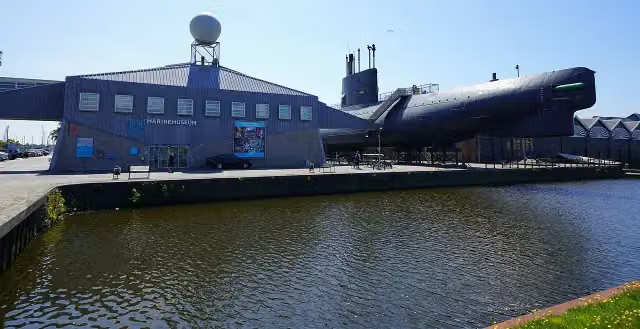 MarinemuseumMuseum · 273 m from the route
- 2
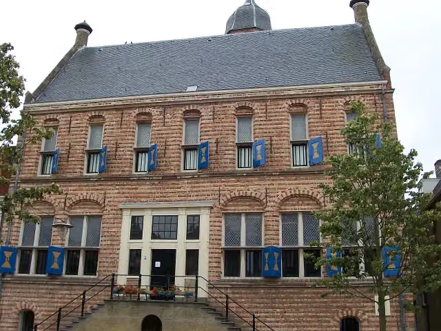 Museum MartenaMuseum · 8.4 km from the route
- 3
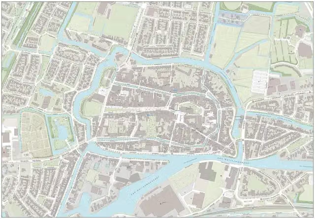 Royal Eise Eisinga PlanetariumMuseum · 8.5 km from the route
- 4
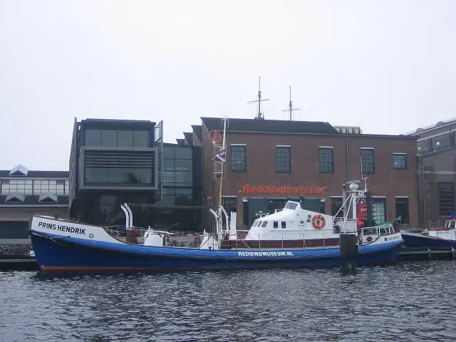 Nationaal Reddingmuseum Dorus RijkersMuseum · 411 m from the route
- 5
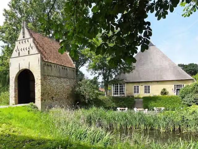 LiauckamastateCastle · 6.6 km from the route
- 6
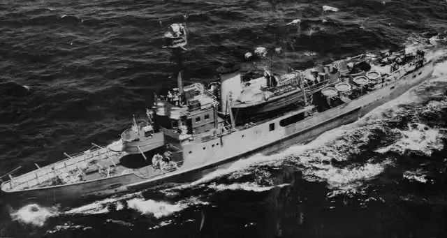 HNLMS Abraham CrijnssenAttraction · 173 m from the route
- 7
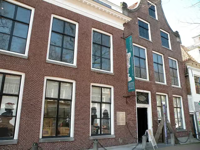 Gemeentemuseum Het HannemahuisMuseum · 295 m from the route
- 8
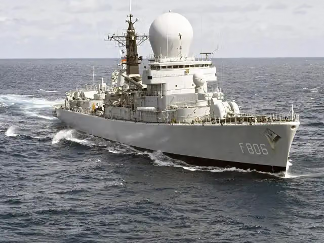 Navigatiebrug HNLMS De RuyterMuseum · 393 m from the route
- 9
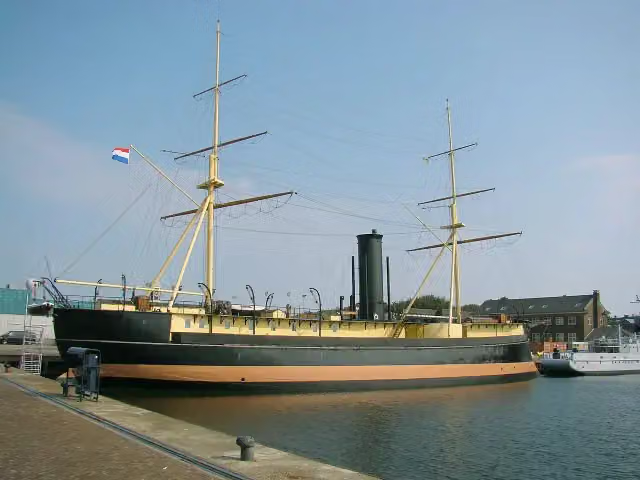 HNLMS SchorpioenAttraction · 230 m from the route
- 10
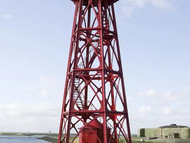 AttractionAttraction · 215 m from the route
- 11
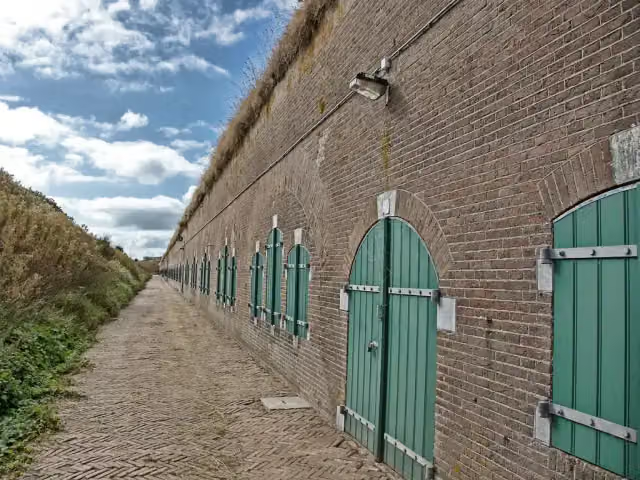 Fort ErfprinsFort · 2.5 km from the route
- 12
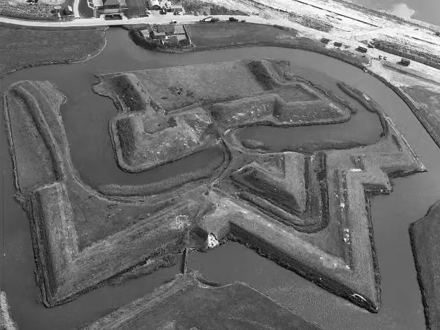 Fort De SchansFort · 8.2 km from the route
- 13
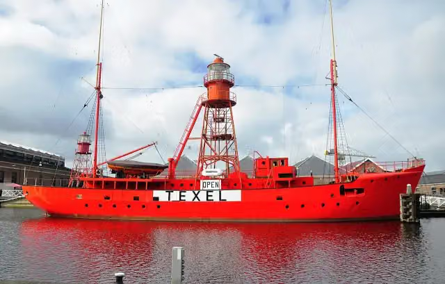 TexelAttraction · 344 m from the route
- 14
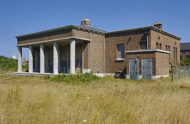 Atlantikwall CentrumMuseum · 3.3 km from the route
- 15
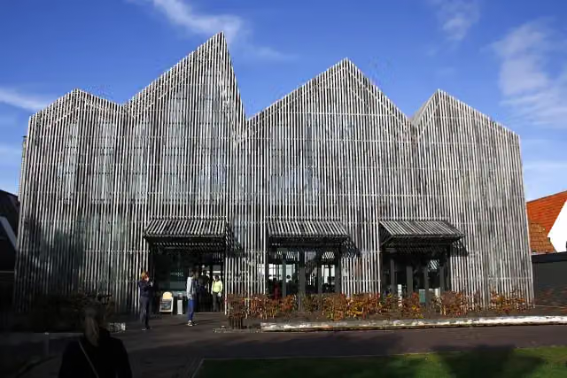 Museum Kaap SkilMuseum · 9.6 km from the route
- 16
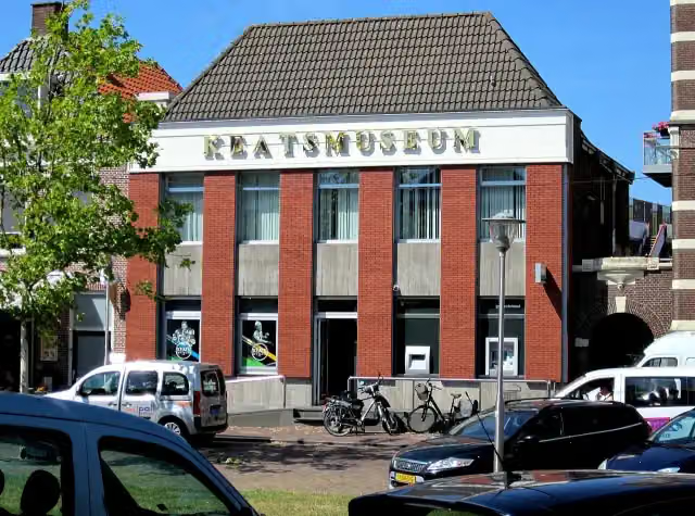 KeatsmuseumMuseum · 8.2 km from the route
- 17
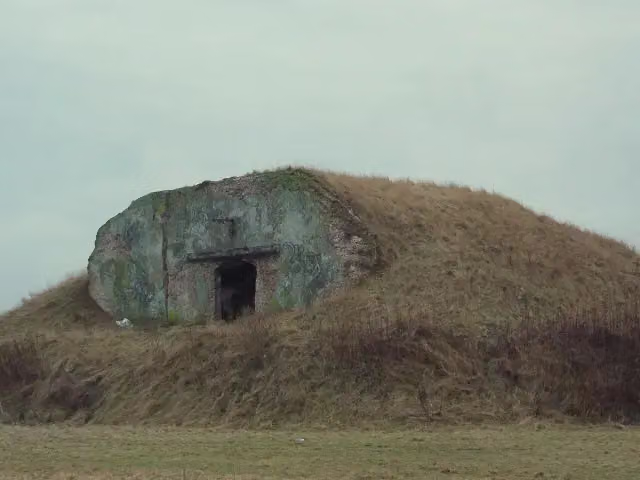 Fort OostoeverFort · 146 m from the route
- 18
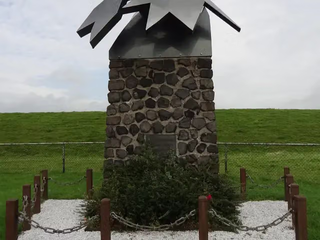 De Brekende GolfMemorial · 9.8 km from the route
- 19
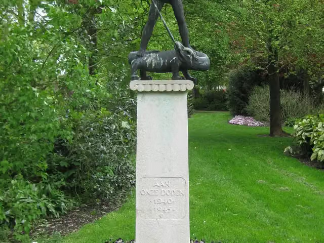 Sint-Joris en de draakMemorial · 368 m from the route
- 20
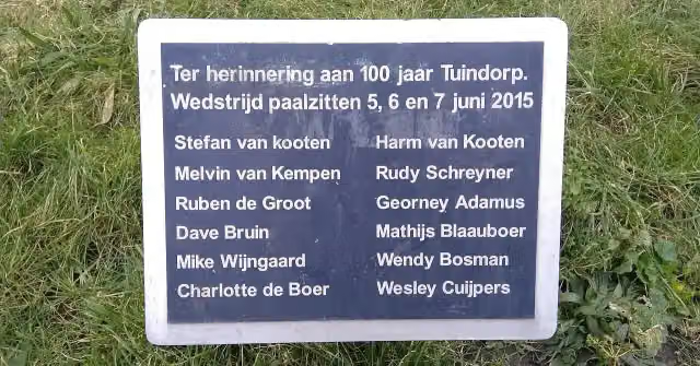 Fort Dirks AdmiraalFort · 1.5 km from the route
- 21
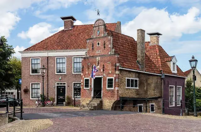 KorendragershuisjeMuseum · 8.7 km from the route
- 22Observation towerObservation tower · 1.1 km from the route
- 23Nationaal Monument voor het Nederlands ReddingwezenMonument · 1.5 km from the route
- 24Observation towerObservation tower · 3.4 km from the route
Explore more
More cycle routes around Harlingen
Frequently asked questions
How long is LF Kustroute - 05 - Harlingen - Den Helder?
LF Kustroute - 05 - Harlingen - Den Helder is 74.1 km long. Allow ± 4:55 h of riding: 15 km an hour, without breaks.
Is this route a circular ride?
No, the route runs from Harlingen to Den Helder.
Where does this route start?
The route starts in Harlingen.
How hard is this route?
Hard, with 46 m of climbing.
Are there toilets along this route?
Yes, there are 2 public toilets within 100 m of the route. The longest stretch without a toilet is 68.4 km.
Can you fill up with water along this route?
Yes, there are 1 water point within 100 m of the route.
What is there to see along this route?
Along the way you pass Stienen Man, Kazemattenmuseum Kornwerderzand and Vlietermonument.
Start place
More routes from this place
Route data © OpenStreetMap contributors





