 Outdoor Pitstop
Cycle route · Hamelin · Updated on 14 November 2026
Radweg Berlin-Hameln cycle route
Radweg Berlin-Hameln is a cycle route of 344.6 km from Hamelin. Along the way you'll find 329 benches, 7 water fountains and refill points, 10 public toilets, 5 bike pumps and 1 honesty box.
i
i
i
The route step by step
From start to finish, with what you pass along the way and the distance in between.
- 344.6 km
- ± 7:40 h per stage
- ↑ 1,223 m · ↓ 1,249 m
- Hard per stage
- From A to B
- Regional route
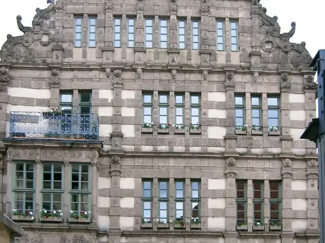
Start in Hamelin
0 kmAt the start: Pied Piper's House and 2 public toilets.
304 m · 13 benches

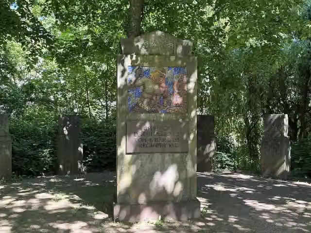
Gefallene des 1. Weltkriegs
304 mMemorial
1.2 km · 23 benches
Bike pump
1.5 km12.8 km · 6 benches
Water point
14.3 km10 km · 11 benches
Bike pump
24.4 km16.4 km · 10 benches
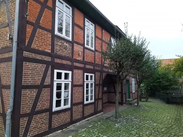
Heimatmuseum Elze and 1 more
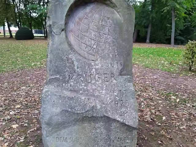
40.8 kmLouis-Krüger-Denkmal
8.5 km · 10 benches
Water point and bike pump
49.3 km13.2 km · 33 benches
Public toilet
62.5 km34 km · 20 benches
Schloss Salder
96.5 kmCastle
24.3 km · 64 benches
Bike pump
120.9 km1.6 km
Bike pump
122.5 km11.7 km · 10 benches
Water point
134.2 km2.6 km · 6 benches
2 water fountains and refill points
136.7 km176 m · 9 benches
Water point
136.9 km17.1 km · 14 benches
Honesty box
154 km9.5 km · 4 benches
Schöninger Speere
163.5 kmArchaeological site
416 m · 2 benches
Forschungsmuseum Schöningen
163.9 kmMuseum
2 km · 11 benches
Public toilet
165.9 km786 m · bench
Public toilet
166.7 km42.1 km · 7 benches
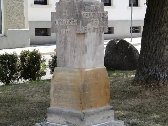
Lutherstein
208.8 kmMemorial
16.7 km · 2 benches
Public toilet
225.5 km11.6 km · 17 benches
Public toilet
237.1 km746 m
Wasserburg zu Gommern
237.9 kmCastle
636 m
Dampflokomotive KJI Nr. 23
238.5 kmPublic toilet
2.4 km
Kriegerdenkmal Dannigkow des Befreiungskrieges
240.9 kmMemorial
293 m
Kriegerdenkmal Dannigkow
241.2 kmMemorial
15.7 km
Public toilet
256.8 km8.7 km · 2 benches
Kriegerdenkmal Hohenziatz
265.6 kmMemorial
5.4 km · 2 benches
Water point
271 km6.2 km · 4 benches
Kriegerdenkmal Drewitz
277.2 kmMemorial
Show the other 3 steps
2.3 km
Kriegerdenkmal Magdeburgerforth
279.5 kmMemorial
51.1 km · 35 benches
Public toilet
330.6 km14 km · 12 benches
Finish
344.6 km
Longest stretch without a toilet: 103.4 kmBetween 62.5 km and 165.9 km there is no public toilet within 100 m of the route.
The route with the water points, toilets and sights within 100 m of it.
15 sights along the way
In the order you pass them. With the Outdoor Pitstop app you hear their story on the spot. 7 more along the route are on the map.
i
Photo: Beckstet at German Wikipedia · Wikimedia Commons · CC BY-SA 3.0View the photo on Wikimedia CommonsAttraction · after 0 m
i
Photo: Nortix08 · Wikimedia Commons · CC BY-SA 4.0View the photo on Wikimedia CommonsMemorial · after 304 m
i
Photo: Gerd Fahrenhorst · Wikimedia Commons · CC BY 4.0View the photo on Wikimedia CommonsMuseum · after 40.8 km
i
Photo: Gerd Fahrenhorst · Wikimedia Commons · CC BY 4.0View the photo on Wikimedia CommonsMemorial · after 40.8 km

Castle · after 96.5 km
Archaeological site · after 163.5 km
Museum · after 163.9 km
i
Photo: Reise Reise · Wikimedia Commons · CC BY-SA 4.0View the photo on Wikimedia CommonsMemorial · after 208.8 km
Stages (3)
Elevation and terrain
- Up
- ↑ 1,223 m
- Down
- ↓ 1,249 m
- Highest point
- 204 m
- Lowest point
- 36 m
- 5-10% slope · 634 m
Elevation from Copernicus GLO-30 (European Union and ESA), smoothed.
produced using Copernicus WorldDEM-30 © DLR e.V. 2010-2014 and © Airbus Defence and Space GmbH 2014-2018 provided under COPERNICUS by the European Union and ESA; all rights reserved
Way types
344.6 km in total- Track: 133.4 km
- Road: 61.1 km
- Busy road: 52.9 km
- Street: 47.9 km
- Path: 42.2 km
- Footpath (walk your bike): 5.7 km
- Cycle path: 900 m
Surfaces
344.6 km in total- Asphalt: 214 km
- Paved: 46.8 km
- Gravel: 43.2 km
- Unpaved: 4.6 km
- Natural: 4.4 km
- Unknown: 31 km
About the cycle route Radweg Berlin-Hameln
Updated on 14 November 2026, with data from OpenStreetMap, the AHN and Copernicus.
Where do you cycle?
Radweg Berlin-Hameln is a cycle route of 344.6 km that starts in Hamelin. It does not end where it starts. Along the way you pass Pied Piper's House (after 0 m), Gefallene des 1. Weltkriegs (after 304 m) and Heimatmuseum Elze (after 40.8 km).
How hard is the route?
You climb 1,223 m in total and descend 1,249 m. Allow ± 7:40 h per stage, without breaks. Per stage the level is hard.
What roads do you cycle on?
The longest part is track (133.4 km), road (61.1 km) and busy road (52.9 km). Of the surface, 214 km asphalt and 46.8 km paved. For 31 km the surface is not known.
Pitstops along the way
Within 100 metres of the route there are 329 benches, 7 water fountains and refill points, 10 public toilets, 5 bike pumps and 1 honesty box. The longest stretch without a toilet is 103.4 km. The Outdoor Pitstop app navigates you there.
Cycle routes nearby
6- Kulturroute Hannover, HauptrouteHard · From A to B398.2 km
- Kulturroute Hannover, Ergänzungsroute - Schloss HämelschenburgEasy · From A to B15.7 km
- BahnRadRoute Hellweg-Weser HauptrouteHard · From A to B253.2 km
- Weser-RadwegHard · From A to B515.4 km
- [D9] Weser-Romantische Straße Teil 3Hard · From A to B152.4 km
- Weser (alternativ)Hard · From A to B62.3 km
Sights nearby
Within 10 km of the route, best known first.
- 1
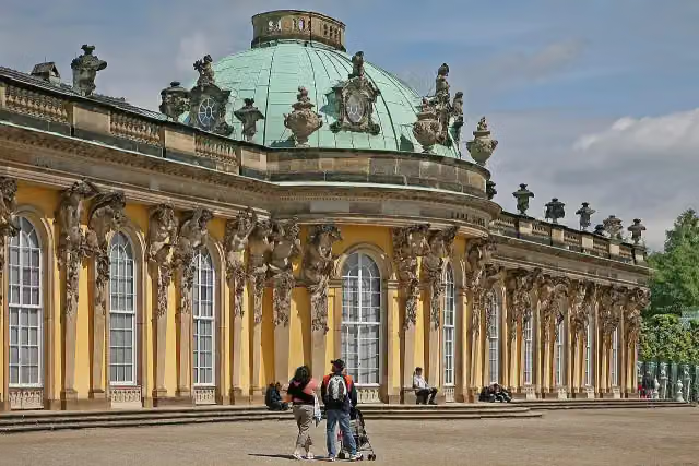 Sanssouci PalaceAttraction · 9.4 km from the route
- 2
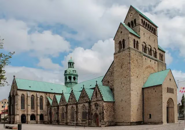 Hildesheim CathedralAttraction · 618 m from the route
- 3
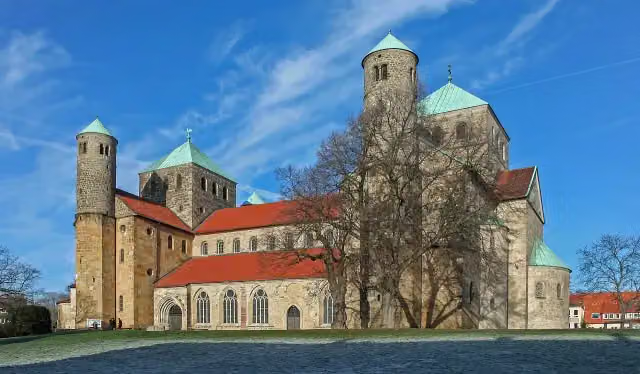 St. Michael's ChurchAttraction · 175 m from the route
- 4
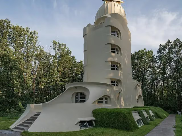 Einstein TowerAttraction · 9.3 km from the route
- 5
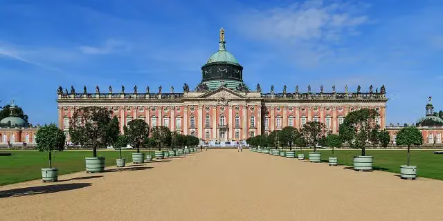 New PalaceAttraction · 8.2 km from the route
- 6
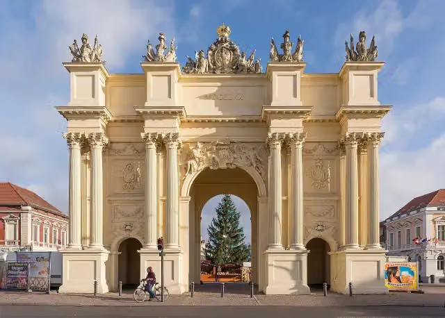 Brandenburger TorAttraction · 9.6 km from the route
- 7
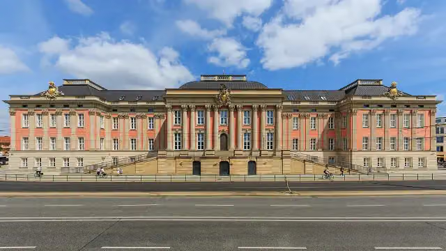 City PalaceCastle · 9.9 km from the route
- 8
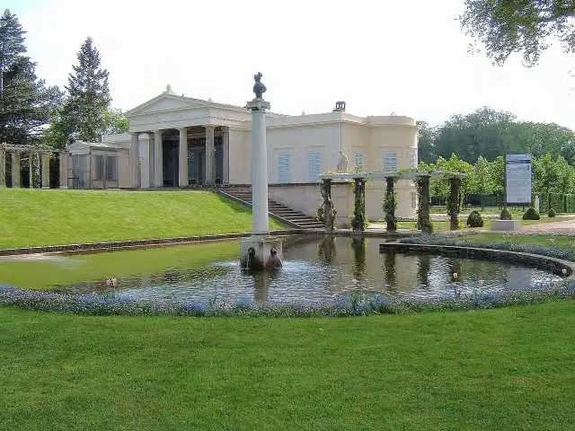 Schloss CharlottenhofCastle · 8.1 km from the route
- 9
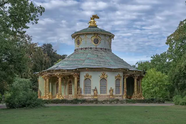 Chinese HouseAttraction · 8.8 km from the route
- 10
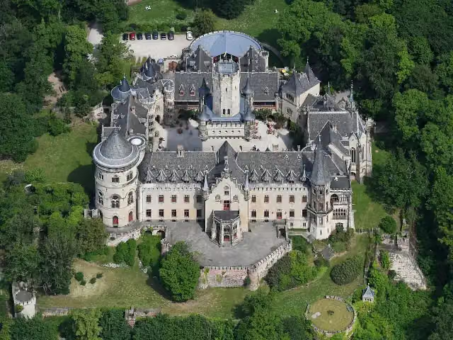 Schloss MarienburgAttraction · 949 m from the route
- 11
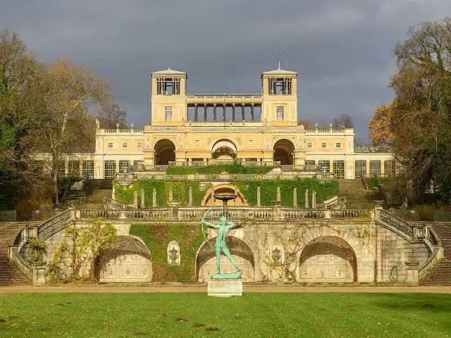 OrangerieschlossAttraction · 9.1 km from the route
- 12
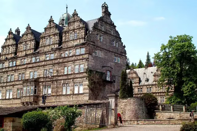 Schloss HämelschenburgAttraction · 8.6 km from the route
- 13
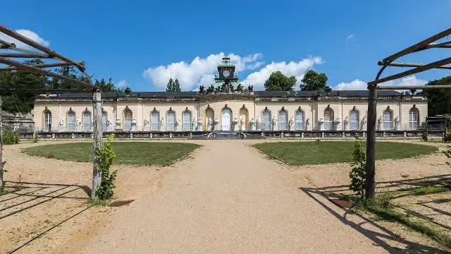 Picture GalleryMuseum · 9.5 km from the route
- 14
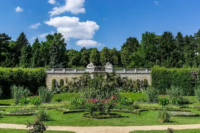 Sicilian GardenAttraction · 9.1 km from the route
- 15
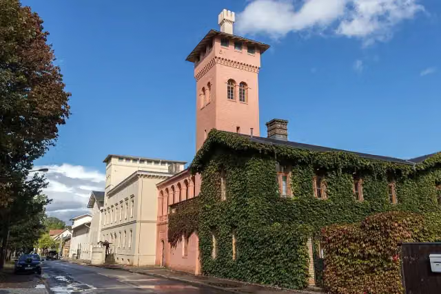 Bornstedt Crown EstateAttraction · 9.4 km from the route
- 16
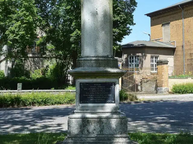 Kriegerdenkmal HötenslebenMemorial · 113 m from the route
- 17
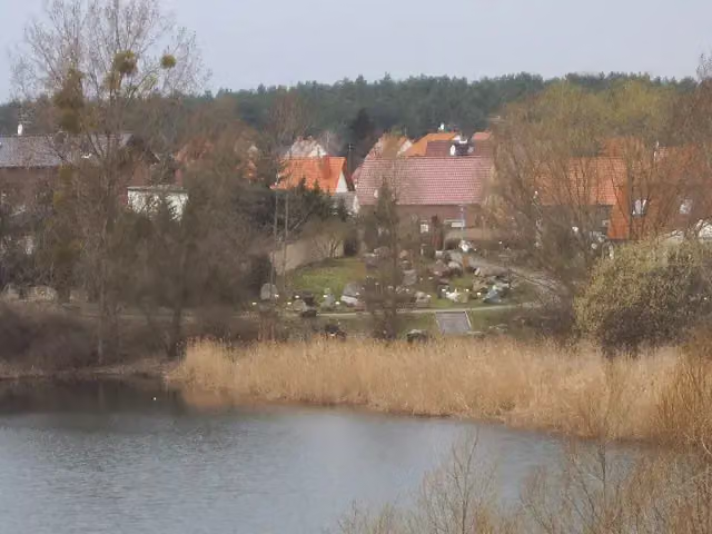 Gesteinsgarten GommernAttraction · 126 m from the route
- 18
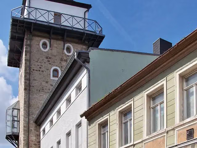 SalzturmAttraction · 136 m from the route
- 19
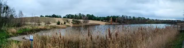 Binnendüne GommernAttraction · 156 m from the route
- 20
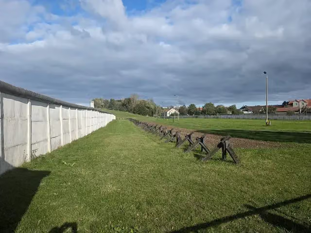 Grenzdenkmal HötenslebenMonument · 163 m from the route
- 21
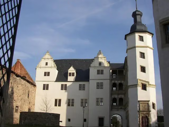 Schloss LeitzkauCastle · 175 m from the route
- 22
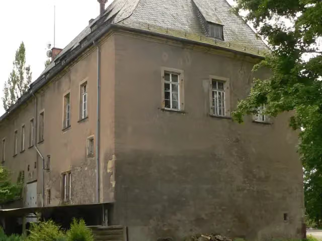 Schloss NettlingenCastle · 191 m from the route
- 23
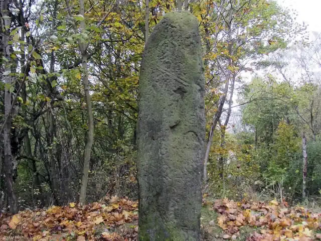 Langer SteinArchaeological site · 197 m from the route
- 24
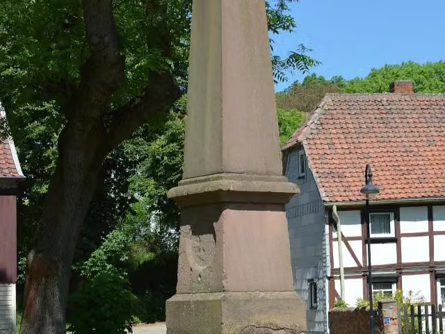 MemorialMemorial · 206 m from the route
- 25
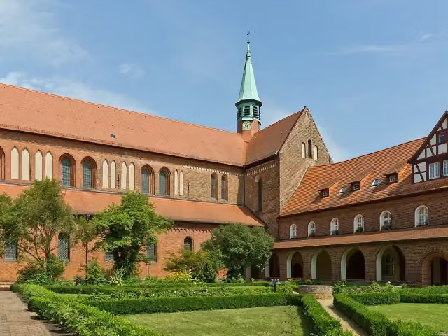 Kloster LehninAttraction · 210 m from the route
Explore more
More cycle routes around Hamelin
Frequently asked questions
How long is Radweg Berlin-Hameln?
Radweg Berlin-Hameln is 344.6 km long, in 3 parts of 114.9 km on average. Allow ± 7:40 h per part of riding: 15 km an hour, without breaks.
Is this route a circular ride?
No, the route starts and ends at different spots.
Where does this route start?
The route starts in Hamelin.
How hard is this route?
Hard per stage, with 408 m per stage of climbing.
Are there toilets along this route?
Yes, there are 10 public toilets within 100 m of the route. The longest stretch without a toilet is 103.4 km.
Can you fill up with water along this route?
Yes, there are 7 water fountains and refill points within 100 m of the route.
What is there to see along this route?
Along the way you pass Pied Piper's House, Gefallene des 1. Weltkriegs and Heimatmuseum Elze.
Can I download this route as a GPX file?
Yes. Sign in with your Outdoor Pitstop account and choose Download GPX at the top of this page: 10 routes a month for free, unlimited with Pro.
Starting point
More routes from this place
Route data © OpenStreetMap contributors





