 Outdoor Pitstop
Cycle route · Het Hogeland · Updated on 6 November 2026
LF Kustroute - 03 - Ulrum - Holwerd cycle route
LF Kustroute - 03 - Ulrum - Holwerd is a cycle route of 55.6 km from Het Hogeland. Along the way you'll find 64 benches and picnic tables, 2 water fountains and refill points and 5 public toilets.
i
i
The route step by step
From start to finish, with what you pass along the way and the distance in between.
- 55.6 km
- ± 3:40 h
- ↑ 19 m · ↓ 19 m
- Moderate
- From A to B
- National route
- Colour of the signs
Start in Het Hogeland
0 km8.9 km · 13 benches

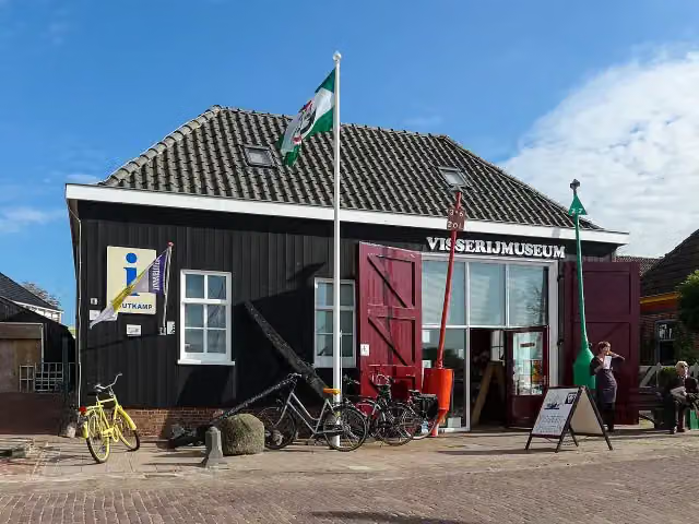
Visserijmuseum Zoutkamp
8.9 kmPublic toilet
7.5 km · 10 benches
Observation tower
16.4 kmObservation tower
1.8 km · 3 benches
Public toilet
18.2 km1.3 km · 3 benches
Public toilet
19.5 km446 m
Public toilet
19.9 km389 m · 2 benches
Public toilet
20.3 km724 m · 3 benches
Water point
21 km165 m · 2 benches
Water point
21.2 km12.4 km · 11 benches
't Fiskershúske and 1 more
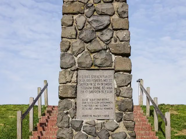
33.6 kmVissersmonument
22 km · 15 benches
Finish
55.6 km
Longest stretch without a toilet: 35.3 kmBetween 20.3 km and 55.6 km there is no public toilet within 100 m of the route.
The route with the pitstops and sights within 100 m of it.
4 sights along the way
In the order you pass them. With the Outdoor Pitstop app you hear their story on the spot.
i
Photo: Wutsje / Wikimedia Commons / CC-BY-SA 4.0 · Wikimedia Commons · CC BY-SA 4.0View the photo on Wikimedia CommonsMuseum · after 8.9 km

Observation tower · after 16.4 km
Museum · after 33.6 km
- Audio story · 1 min
i
Photo: Agnes Monkelbaan · Wikimedia Commons · CC BY-SA 4.0View the photo on Wikimedia CommonsVissersmonument
Memorial · after 33.6 km
Elevation and terrain
- Up
- ↑ 19 m
- Down
- ↓ 19 m
- Highest point
- 6 m
- Lowest point
- -0 m
Nowhere steeper than 5%.
Elevation from AHN (Rijkswaterstaat), smoothed.
Way types
55.6 km in total- Road: 38.4 km
- Cycle path: 10.9 km
- Street: 5.1 km
- Busy road: 625 m
- Path: 475 m
Surfaces
55.6 km in total- Asphalt: 42.9 km
- Paved: 8.8 km
- Gravel: 425 m
- Unknown: 3.4 km
About the cycle route LF Kustroute - 03 - Ulrum - Holwerd
Updated on 6 November 2026, with data from OpenStreetMap and the AHN.
Where do you cycle?
LF Kustroute - 03 - Ulrum - Holwerd is a cycle route of 55.6 km that starts in Het Hogeland. It does not end where it starts. You start in Ulrum and finish in Holwerd. Along the way you pass Visserijmuseum Zoutkamp (after 8.9 km), Observation tower (after 16.4 km) and 't Fiskershúske (after 33.6 km).
How hard is the route?
The route is almost flat. You climb 19 m in total and descend 19 m. Allow ± 3:40 h, without breaks. The level is moderate.
What roads do you cycle on?
The longest part is road (38.4 km), cycle path (10.9 km) and street (5.1 km). Of the surface, 42.9 km asphalt and 8.8 km paved. For 3.4 km the surface is not known.
Pitstops along the way
Within 100 metres of the route there are 64 benches and picnic tables, 2 water fountains and refill points and 5 public toilets. You can fill your bottle after 21 km and after 21.2 km. The longest stretch without a toilet is 35.3 km. The Outdoor Pitstop app navigates you there.
This stage of the LF Kustroute is a cycle route of almost 56 km from Ulrum to Holwerd. You ride through Zoutkamp, with its fisheries museum, across Lauwersmeer National Park to Lauwersoog, then along the Frisian Wadden coast through the fishing villages of Paesens and Moddergat, with the Fiskershúske museum and the fishermen's memorial, and Ternaard to Holwerd. It is flat; more than two thirds follows roads. We know of five toilets and two water taps along the route. The full LF Kustroute runs from Bad Nieuweschans to Cadzand-Bad.
Source: Wikipedia (CC BY-SA)
Part of LF Kustroute
Website of the routeCycle routes nearby
3Sights nearby
Within 10 km of the route, best known first.
- 1
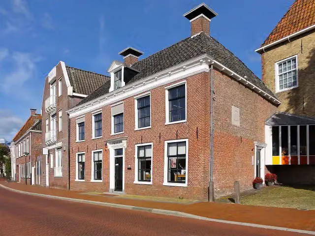 Museum DokkumMuseum · 3.6 km from the route
- 2
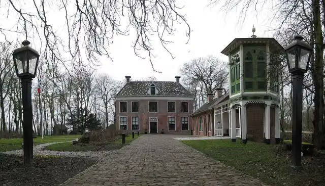 AllersmaborgAttraction · 7.3 km from the route
- 3
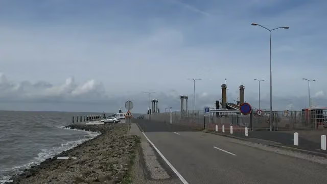 Dam Holwerd-AmelandRuins · 5.6 km from the route
- 4
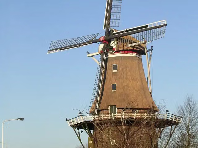 Molenmuseum De EendrachtMuseum · 1.2 km from the route
- 5
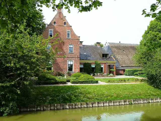 PiloersemaborgAttraction · 8.2 km from the route
- 6
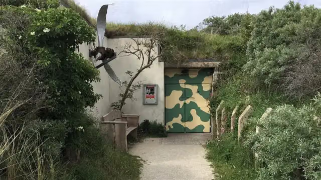 Bunkermuseum SchleiMuseum · 9.2 km from the route
- 7
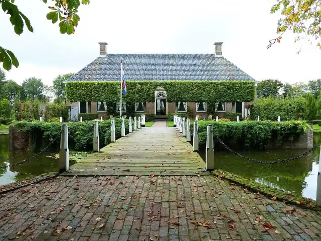 Borg VerhildersumCastle · 3.4 km from the route
- 8
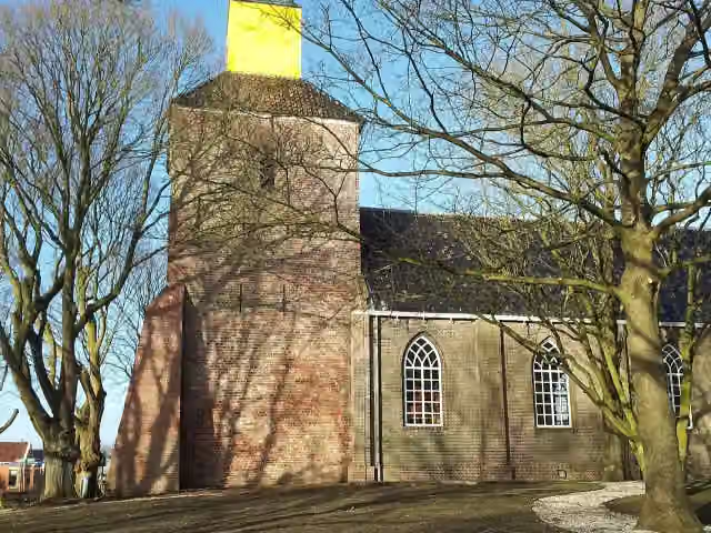 Kerk van HornhuizenViewpoint · 3.4 km from the route
- 9
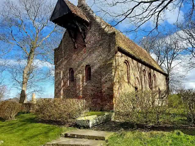 Kerkmuseum JannumMuseum · 4.3 km from the route
- 10
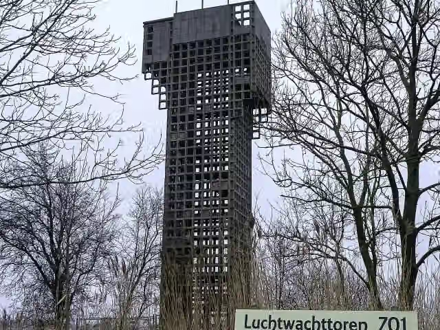 Luchtwachttoren 7O1Observation tower · 4.9 km from the route
- 11
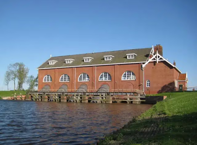 Gemaal De WaterwolfAttraction · 2.4 km from the route
- 12
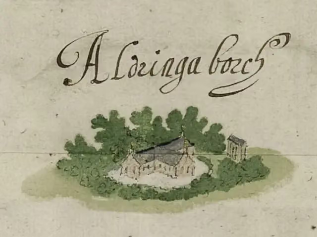 AldringaborgArchaeological site · 8 km from the route
- 13
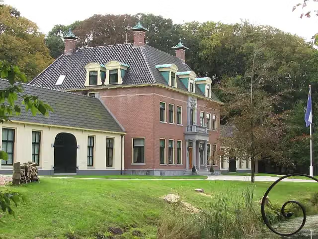 Rinsma StateCastle · 8.3 km from the route
- 14
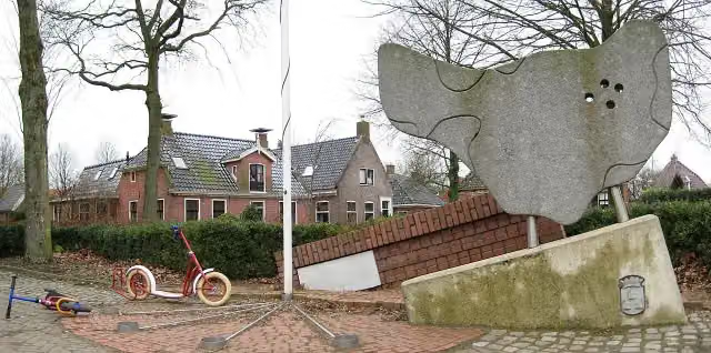 MemorialMemorial · 5 km from the route
- 15
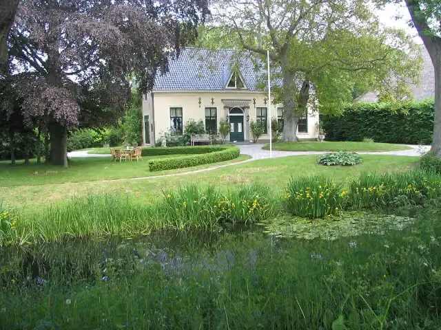 HarstastateCastle · 4.6 km from the route
- 16
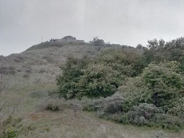 WassermannAttraction · 8.1 km from the route
- 17Museum WierdenlandMuseum · 7.2 km from the route
- 18Kaap GarmtObservation tower · 228 m from the route
- 19Observation towerObservation tower · 840 m from the route
- 20Hemelplatvorm Achter de ZwartenObservation tower · 1.7 km from the route
- 21UitkijktorenObservation tower · 1.9 km from the route
- 22Observation towerObservation tower · 2 km from the route
- 23Uitkijktoren Achter de ZwartenObservation tower · 2.1 km from the route
- 24UitkijktorenObservation tower · 3.8 km from the route
- 25ReiddompObservation tower · 5.4 km from the route
Explore more
More cycle routes around Het Hogeland
More nearby
Frequently asked questions
How long is LF Kustroute - 03 - Ulrum - Holwerd?
LF Kustroute - 03 - Ulrum - Holwerd is 55.6 km long. Allow ± 3:40 h of riding: 15 km an hour, without breaks.
Is this route a circular ride?
No, the route runs from Ulrum to Holwerd.
Where does this route start?
The route starts in Het Hogeland.
How hard is this route?
Moderate, with 19 m of climbing.
Are there toilets along this route?
Yes, there are 5 public toilets within 100 m of the route. The longest stretch without a toilet is 35.3 km.
Can you fill up with water along this route?
Yes, there are 2 water fountains and refill points within 100 m of the route.
What is there to see along this route?
Along the way you pass Visserijmuseum Zoutkamp, Observation tower and 't Fiskershúske.
Starting point
More routes from this place
Route data © OpenStreetMap contributors





