 Outdoor Pitstop
Walking route · Bad Homburg vor der Höhe · Updated on 14 November 2026
Hugenotten- und Waldenserpfad (Nebenwege) walk
Hugenotten- und Waldenserpfad (Nebenwege) is a walk of 395.6 km from Bad Homburg vor der Höhe. Along the way you'll find 749 benches, 10 water fountains and refill points, 26 public toilets, 4 bike pumps and 1 honesty box.
i
i
The route step by step
From start to finish, with what you pass along the way and the distance in between.
- 395.6 km
- From A to B
- National route
Pick a stage to see the pitstops per kilometre. Along the way you'll find 749 benches, 10 water fountains and refill points, 26 public toilets, 4 bike pumps and 1 honesty box.
Follow these steps in the appThe route with the water points, toilets and sights within 100 m of it.
38 sights along the way
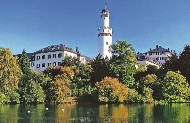
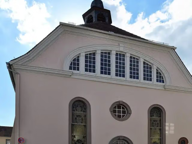
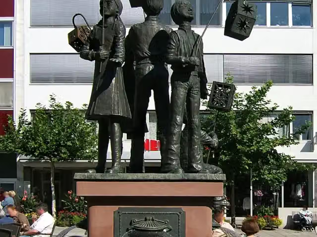
In the order you pass them. With the Outdoor Pitstop app you hear their story on the spot. 30 more along the route are on the map.
Museum
i
Photo: Dontworry · Wikimedia Commons · CC BY-SA 3.0View the photo on Wikimedia CommonsAttraction

i
Photo: Eva K. · Wikimedia Commons · GFDL 1.2View the photo on Wikimedia CommonsMuseum
i
Photo: Wildfeuer · Wikimedia Commons · CC BY-SA 3.0View the photo on Wikimedia CommonsAttraction
i
Photo: ziegelbrenner · Wikimedia Commons · CC BY-SA 3.0View the photo on Wikimedia CommonsCastle
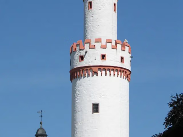
i
Photo: Johannes Robalotoff · Wikimedia Commons · CC BY-SA 2.0 deView the photo on Wikimedia CommonsAttraction
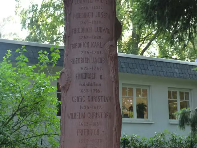
i
Photo: Karsten Ratzke · Wikimedia Commons · CC BY-SA 3.0View the photo on Wikimedia CommonsMemorial
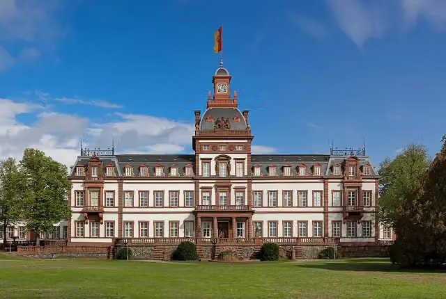
i
Photo: Jörg Braukmann · Wikimedia Commons · CC BY-SA 4.0View the photo on Wikimedia CommonsAttraction
Stages (15)
- 1Hugenotten- und Waldenserpfad (Abstecher Bad Homburg)2.4 km
- 2Hugenotten- und Waldenserpfad (Schleife Main - Spessart - Vogelsberg - Wetterau)165.4 km
- 3Hugenotten- und Waldenserpfad (Schleife Wehrheim)8.8 km
- 4Hugenotten- und Waldenserpfad (Schleife Waldsolms)15.3 km
- 5Hugenotten- und Waldenserpfad (Schleife Daubhausen - Greifenthal)7.3 km
- 6Hugenotten- und Waldenserpfad (Schleife Frauenberg)39.4 km
- 7Hugenotten- und Waldenserpfad (Schleife Schwabendorf)35.1 km
- 8Hugenotten- und Waldenserpfad (Verbindungsweg Wolskaute)3.7 km
- 9Hugenotten- und Waldenserpfad (Schleife Frankenhain)67.3 km
- 10Hugenotten- und Waldenserpfad (Schleife Hertingshausen)20.2 km
- 11Hugenotten- und Waldenserpfad (Schleife Todenhausen)7.8 km
- 12Hugenotten- und Waldenserpfad (Schleife Wiesenfeld)4.3 km
- 13Hugenotten- und Waldenserpfad (Schleife Lengeltal)7.4 km
- 14Hugenotten- und Waldenserpfad (Schleife Hombressen)11.5 km
- 15Hugenotten- und Waldenserpfad (Schleife Pforzheim)5.8 km
About the walking route Hugenotten- und Waldenserpfad (Nebenwege)
Updated on 14 November 2026, with data from OpenStreetMap, the AHN and Copernicus.
Where do you walk?
Hugenotten- und Waldenserpfad (Nebenwege) is a walking route of 395.6 km that starts in Bad Homburg vor der Höhe. It does not end where it starts.
Pitstops along the way
Within 100 metres of the route there are 749 benches, 10 water fountains and refill points, 26 public toilets, 4 bike pumps and 1 honesty box. The Outdoor Pitstop app navigates you there.
Part of Hugenotten- und Waldenserpfad (Gesamtweg)
Website of the routeWalks nearby
6- HWW Westerwald Etappe 6 Knoten - KatzenfurtHard · From A to B20.2 km
- Hugenotten- und Waldenserpfad (Hauptweg - Teilstrecke Braunfels - Bad Endbach)Hard · From A to B62.6 km
- Dillhöhenweg (rechts der Dill)Hard · From A to B50.4 km
- Hessenweg 1 (Etappe 8)Hard · From A to B24.4 km
- HWW Westerwald Etappe 5 Mengerskirchen - WetzlarHard · From A to B33.8 km
- Lahnhöhenweg [Westerwald]Hard · From A to B137.1 km
Sights nearby
Within 10 km of the route, best known first.
- 1
 Städel MuseumMuseum · 4.8 km from the route
- 2
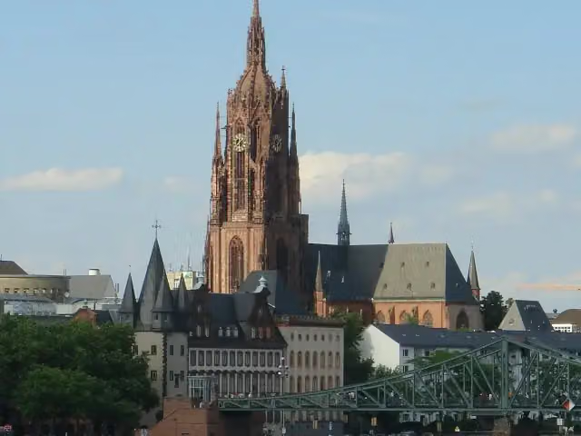 Imperial Cathedral of Saint BartholomewAttraction · 4.7 km from the route
- 3
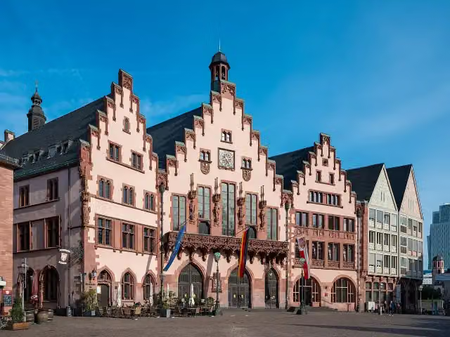 RömerAttraction · 4.9 km from the route
- 4
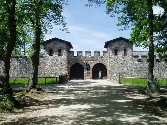 Römerkastell SaalburgMuseum · 1.8 km from the route
- 5
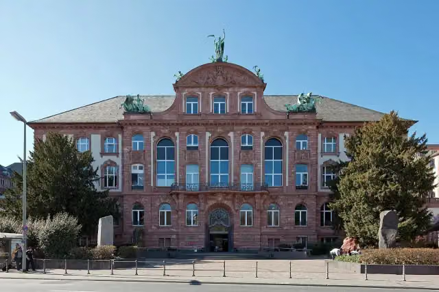 Senckenberg NaturmuseumMuseum · 6.9 km from the route
- 6
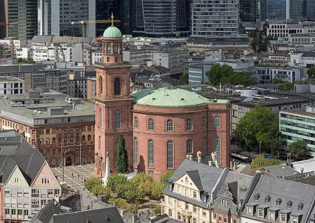 St. Paul's ChurchAttraction · 5 km from the route
- 7
 Alte OperAttraction · 5.8 km from the route
- 8
 HauptwacheAttraction · 5.3 km from the route
- 9
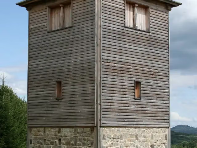 Römischer LimesAttraction · 1.6 km from the route
- 10
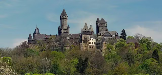 Schloß BraunfelsCastle · 7.3 km from the route
- 11
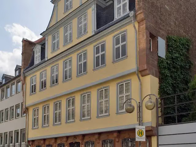 Goethe HouseAttraction · 5.1 km from the route
- 12
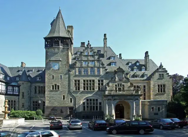 Schloss FriedrichshofCastle · 7.6 km from the route
- 13
 Museum MMKMuseum · 4.8 km from the route
- 14
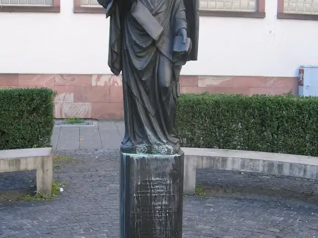 Frankfurter EngelMemorial · 5.2 km from the route
- 15
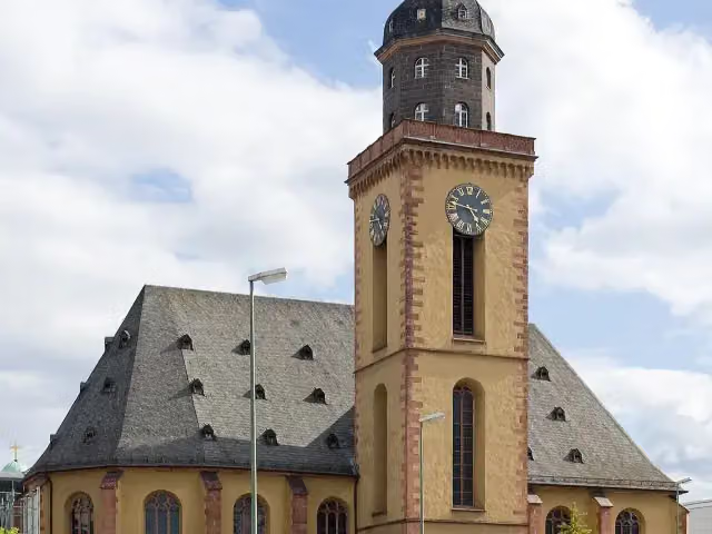 St. Catherine's ChurchAttraction · 5.2 km from the route
- 16
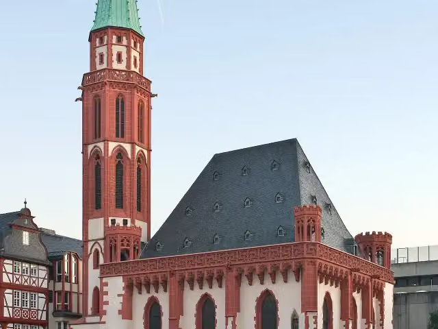 Old St. Nicholas ChurchAttraction · 4.8 km from the route
- 17
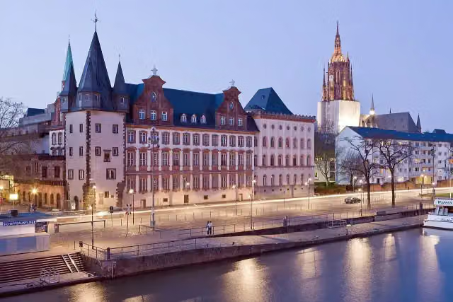 Historical Museum FrankfurtMuseum · 4.8 km from the route
- 18
 DreikönigskircheAttraction · 4.4 km from the route
- 19
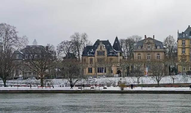 Weltkulturen MuseumMuseum · 4.7 km from the route
- 20
 Deutsches Filminstitut FilmmuseumMuseum · 4.7 km from the route
- 21
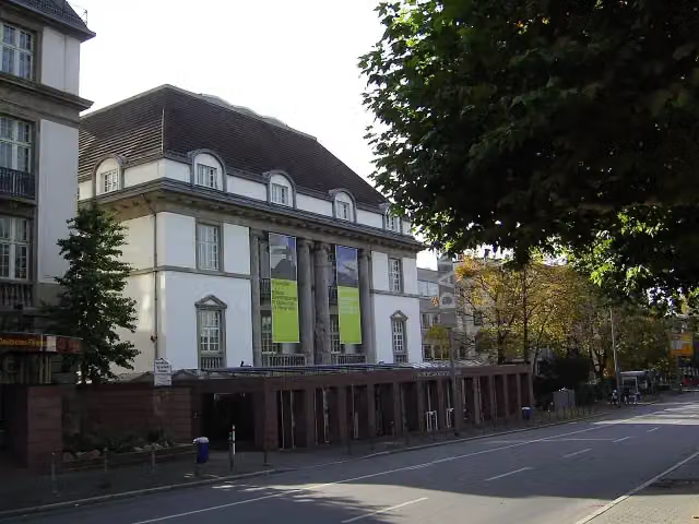 Deutsches ArchitekturmuseumMuseum · 4.7 km from the route
- 22
 Museum für KommunikationMuseum · 4.8 km from the route
- 23
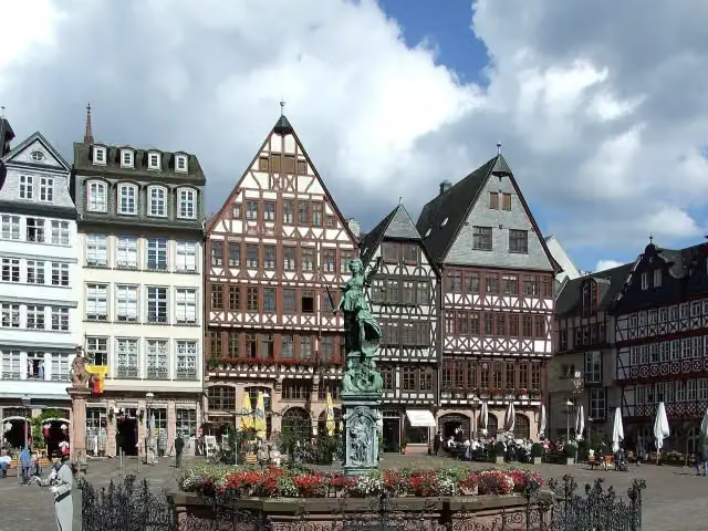 GerechtigkeitsbrunnenAttraction · 4.8 km from the route
- 24
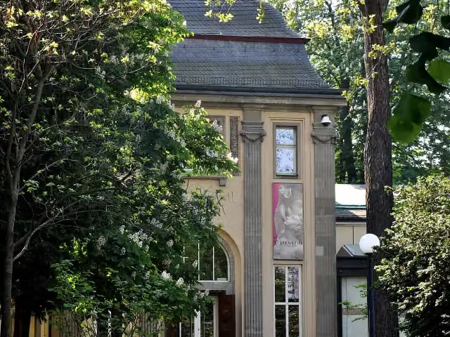 Liebieghaus SkulpturensammlungMuseum · 4.9 km from the route
- 25
 KleinmarkthalleAttraction · 5 km from the route
Explore more
More walks around Bad Homburg vor der Höhe
More nearby
Frequently asked questions
How long is Hugenotten- und Waldenserpfad (Nebenwege)?
Hugenotten- und Waldenserpfad (Nebenwege) is 395.6 km long, split into several parts and stages.
Is this route a circular walk?
No, the route starts and ends at different spots.
Where does this route start?
The route starts in Bad Homburg vor der Höhe.
Are there toilets along this route?
Yes, there are 26 public toilets within 100 m of the route.
Can you fill up with water along this route?
Yes, there are 10 water fountains and refill points within 100 m of the route.
What is there to see along this route?
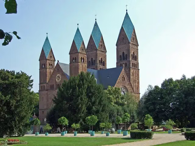
Along the way you pass Galerie, Erlöserkirche and Museum Sinclair Haus.
Can I download this route as a GPX file?
Yes. Sign in with your Outdoor Pitstop account and choose Download GPX at the top of this page: 10 routes a month for free, unlimited with Pro.
Starting point
More routes from this place
Route data © OpenStreetMap contributors





