 Outdoor Pitstop
Walking route · Zevenaar · Updated on 14 November 2026
X1 Arnheim - Lippstadt walk
X1 Arnheim - Lippstadt is a walk of 234.9 km from Zevenaar. Along the way you'll find 556 benches, 1 water point, 19 public toilets, 8 bike pumps and 4 honesty boxes and farm vending machines.
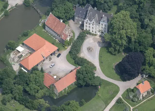
i
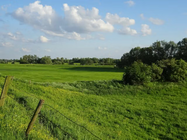
i
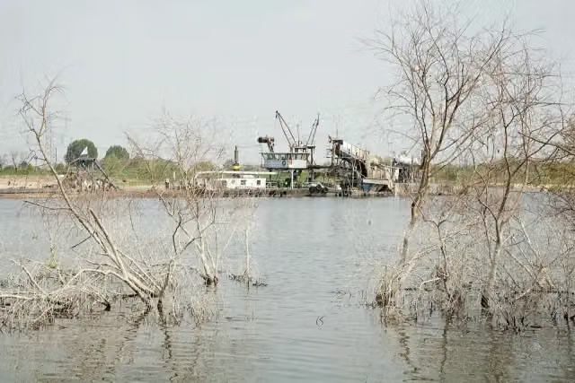
i
The route step by step
From start to finish, with what you pass along the way and the distance in between.
- 234.9 km
- ± 53:30 h
- ↑ 786 m · ↓ 721 m
- Hard
- From A to B
- National route
This route is in pieces in OpenStreetMap, so there are no kilometres per pitstop. Along the way you'll find 556 benches, 1 water point, 19 public toilets, 8 bike pumps and 4 honesty boxes and farm vending machines.
Follow these steps in the appThe route with the pitstops and sights within 100 m of it.
7 sights along the way
In the order you pass them. With the Outdoor Pitstop app you hear their story on the spot.
i
Photo: Tim Reckmann · Wikimedia Commons · CC BY-SA 3.0View the photo on Wikimedia CommonsCastle
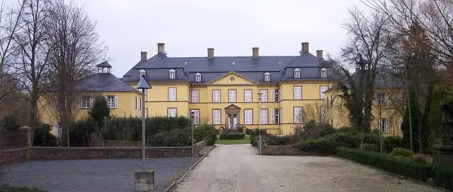
i
Photo: Stahlkocher · Wikimedia Commons · CC BY-SA 3.0View the photo on Wikimedia CommonsCastle
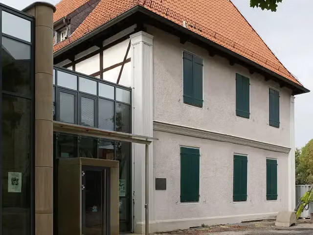
i
Photo: smial (talk) · Wikimedia Commons · FALView the photo on Wikimedia CommonsMuseum
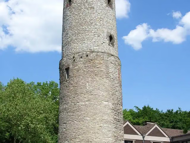
Observation tower
 Story
i
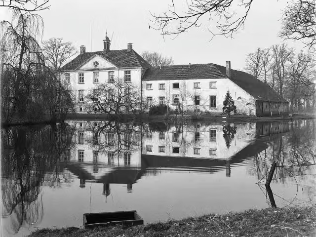
Photo: Unknown authorUnknown author · Wikimedia Commons · CC BY-SA 4.0View the photo on Wikimedia CommonsHuize Babberich
Castle
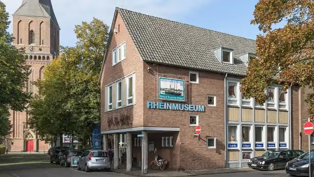
i
Photo: Raimond Spekking · Wikimedia Commons · CC BY-SA 4.0View the photo on Wikimedia CommonsMuseum

i
Photo: Dguendel · Wikimedia Commons · CC BY 4.0View the photo on Wikimedia CommonsMuseum
Elevation and terrain
- Up
- ↑ 786 m
- Down
- ↓ 721 m
- Highest point
- 170 m
- Lowest point
- 13 m
- 6 stairs
Elevation from Copernicus GLO-30 (European Union and ESA), smoothed.
produced using Copernicus WorldDEM-30 © DLR e.V. 2010-2014 and © Airbus Defence and Space GmbH 2014-2018 provided under COPERNICUS by the European Union and ESA; all rights reserved
Way types
234.9 km in total- Road: 71.6 km
- Path: 63.4 km
- Track: 48.7 km
- Street: 35.5 km
- Footpath: 9.9 km
- Busy road: 4.7 km
- Cycleway: 250 m
- Stairs: 6 stairs
Surfaces
234.9 km in total- Asphalt: 109.5 km
- Gravel: 44.3 km
- Paved: 19.7 km
- Unpaved: 14.3 km
- Natural: 3.1 km
- Unknown: 43.6 km
About the walking route X1 Arnheim - Lippstadt
Updated on 14 November 2026, with data from OpenStreetMap, the AHN and Copernicus.
Where do you walk?
X1 Arnheim - Lippstadt is a walking route of 234.9 km that starts in Zevenaar. It does not end where it starts.
How hard is the route?
You climb 786 m in total and descend 721 m. There are 6 flights of steps along the way. Allow ± 53:30 h, without breaks. The level is hard.
What paths do you walk on?
The longest part is road (71.6 km), path (63.4 km) and track (48.7 km). Of the surface, 109.5 km asphalt and 44.3 km gravel. For 43.6 km the surface is not known.
Pitstops along the way
Within 100 metres of the route there are 556 benches, 1 water point, 19 public toilets, 8 bike pumps and 4 honesty boxes and farm vending machines. The Outdoor Pitstop app navigates you there.
Walks nearby
6Sights nearby
Within 10 km of the route, best known first.
- 1
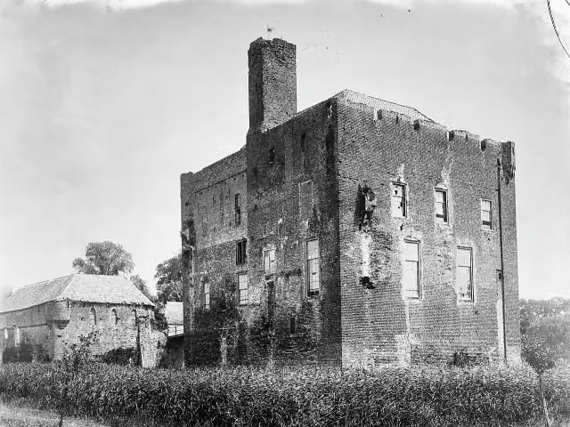 Kasteel DoornenburgAttraction · 8.2 km from the route
- 2
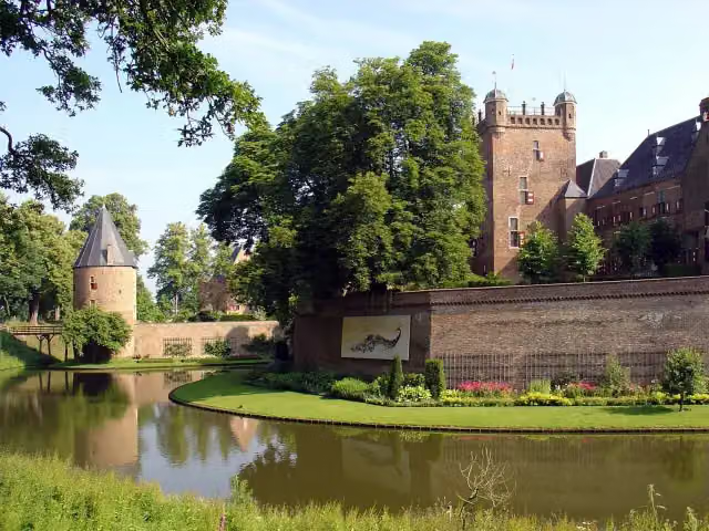 Kasteel Huis BerghCastle · 3.9 km from the route
- 3
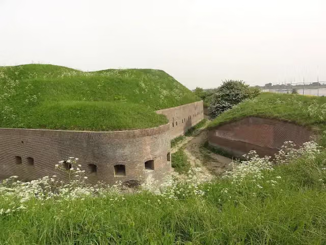 Fort PannerdenAttraction · 6.8 km from the route
- 4
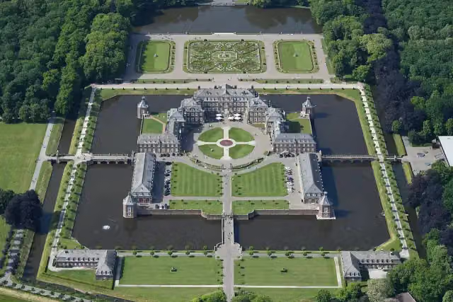 Schloss NordkirchenCastle · 6.3 km from the route
- 5
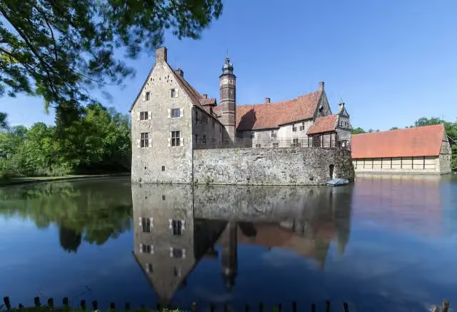 Vischering CastleAttraction · 8.2 km from the route
- 6
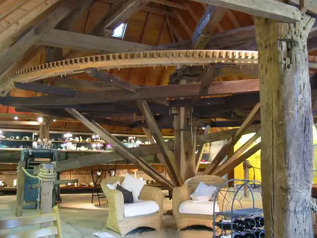 De RosmolenMuseum · 6.6 km from the route
- 7
 Xanten CathedralAttraction · 6.3 km from the route
- 8
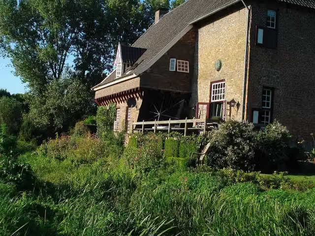 CamphuysenCastle · 1 km from the route
- 9
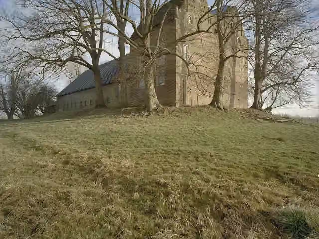 Huis LoowaardCastle · 9 km from the route
- 10
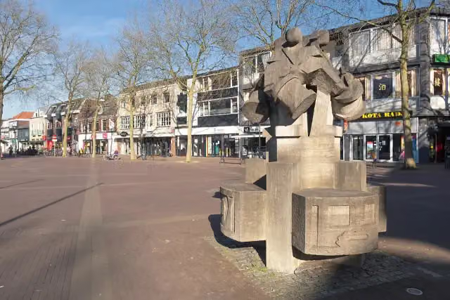 De Vier TamboersMemorial · 3.8 km from the route
- 11
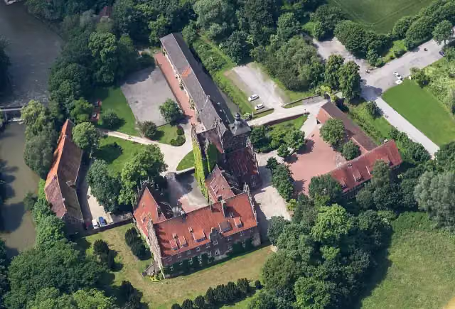 Schloss HeessenCastle · 1.2 km from the route
- 12
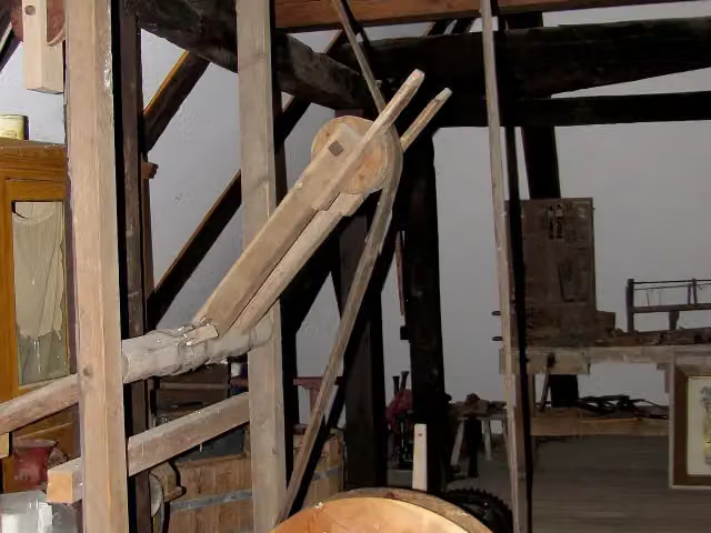 Schäferkämper WatermillMuseum · 5.2 km from the route
- 13
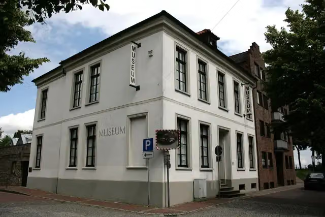 Koenraad-Bosman-MuseumMuseum · 104 m from the route
- 14
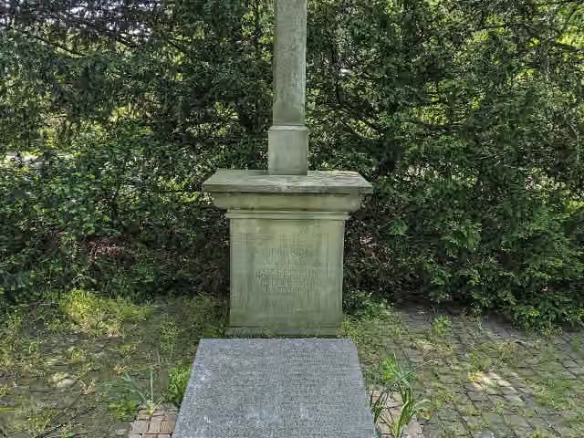 Zur Erinnerung an die Barmherzigen Brüder von Montabaur 1887 - 1937Memorial · 136 m from the route
- 15
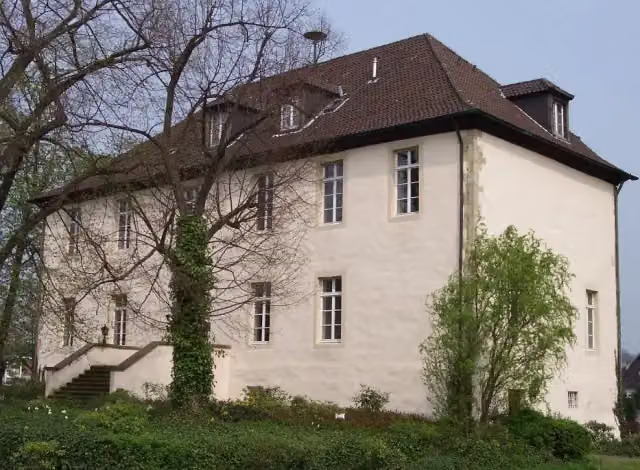 Burg BotzlarCastle · 149 m from the route
- 16
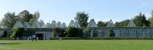 LWL-RömermuseumMuseum · 188 m from the route
- 17
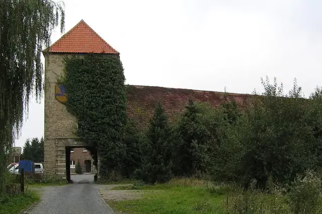 Haus OstendorfCastle · 224 m from the route
- 18
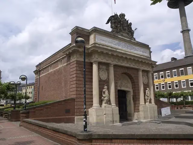 Berliner TorAttraction · 234 m from the route
- 19
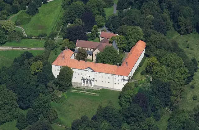 Schloss CappenbergAttraction · 254 m from the route
- 20
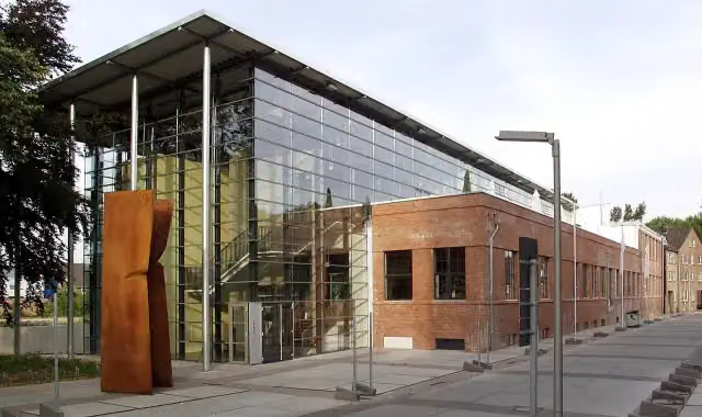 Plakatmuseum am Niederrhein PANMuseum · 346 m from the route
- 21
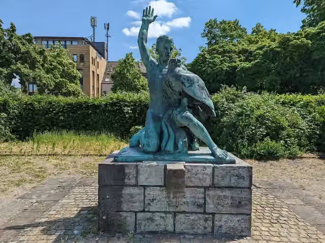 Der nackte Jüngling mit AdlerMemorial · 397 m from the route
- 22
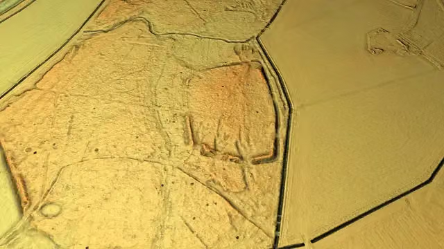 Altes LagerArchaeological site · 451 m from the route
- 23
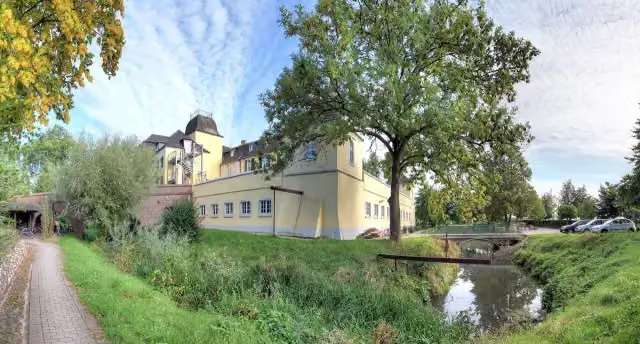 Schloß BellinghovenCastle · 466 m from the route
- 24
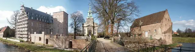 Schloß DiersfordtCastle · 601 m from the route
- 25
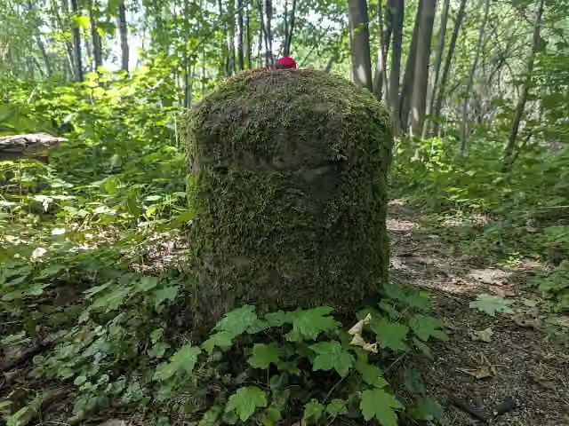 Kilometerstein 147 des alten Lippe-TreidelpfadesAttraction · 616 m from the route
Explore more
Frequently asked questions
How long is X1 Arnheim - Lippstadt?
X1 Arnheim - Lippstadt is 234.9 km long. Allow ± 53:30 h of walking: 4.5 km an hour and 10 minutes more per 100 metres of climbing, without breaks.
Is this route a circular walk?
No, the route starts and ends at different spots.
Where does this route start?
The route starts in Zevenaar.
How hard is this route?
Hard, with 786 m of climbing.
Are there toilets along this route?
Yes, there are 19 public toilets within 100 m of the route.
Can you fill up with water along this route?
Yes, there are 1 water point within 100 m of the route.
What is there to see along this route?
Along the way you pass Haus Ermelinghof, Schloss Crassenstein and Karl-Pollender-Stadtmuseum.
Can I download this route as a GPX file?
Yes. Sign in with your Outdoor Pitstop account and choose Download GPX at the top of this page: 10 routes a month for free, unlimited with Pro.
Starting point
More routes from this place
Route data © OpenStreetMap contributors





