 Outdoor Pitstop
Walking route · Zevenaar · Updated on 14 November 2026
Klompenpad Rijnstrangenpad walk
Klompenpad Rijnstrangenpad is a walk of 13.7 km from Zevenaar that starts and ends at the same spot. Along the way you'll find 10 benches.
The route step by step
From start to finish, with what you pass along the way and the distance in between.
- 13.7 km
- ± 3:05 h
- ↑ 9 m · ↓ 13 m
- Moderate
- Circular walk
- Local route
- Colour of the signs
This route is in pieces in OpenStreetMap, so there are no kilometres per pitstop. Along the way you'll find 10 benches.
Follow these steps in the appNo public toilet along the wayThere is no public toilet within 100 m of the route. Go before you start, or find one a bit further away in the app.
The route with the pitstops and sights within 100 m of it.
Elevation and terrain
- Up
- ↑ 9 m
- Down
- ↓ 13 m
- Highest point
- 16 m
- Lowest point
- 11 m
- 1 flight of stairs
Elevation from AHN (Rijkswaterstaat), smoothed.
Way types
13.7 km in total- Path: 8.4 km
- Track: 2 km
- Road: 1.5 km
- Cycleway: 925 m
- Footpath: 625 m
- Street: 75 m
- Stairs: 1 flight of stairs
Surfaces
13.7 km in total- Unpaved: 6.7 km
- Natural: 2.1 km
- Asphalt: 2 km
- Paved: 75 m
- Unknown: 2.7 km
About the walking route Klompenpad Rijnstrangenpad
Updated on 14 November 2026, with data from OpenStreetMap, the AHN and Copernicus.
Where do you walk?
Klompenpad Rijnstrangenpad is a circular walk of 13.7 km from Zevenaar: it starts and ends in the same place.
How hard is the route?
The route is almost flat. You climb 9 m in total and descend 13 m. There is 1 flight of steps along the way. Allow ± 3:05 h, without breaks. The level is moderate.
What paths do you walk on?
The longest part is path (8.4 km), track (2 km) and road (1.5 km). Of the surface, 6.7 km unpaved and 2.1 km natural. For 2.7 km the surface is not known.
Pitstops along the way
Within 100 metres of the route there are 10 benches. There is no public toilet within 100 metres of the route. The Outdoor Pitstop app navigates you there.
Klompenpad Rijnstrangenpad walk: a 14 km circular route
The Rijnstrangenpad is a local walking route of 14 km. It is a circular route, so you start and finish in the same place. On this page you will find everything about the klompenpad Rijnstrangenpad walk: the map with the route, the elevation profile and the pit stops along the way. These pit stops are the public toilets, drinking water and benches. The elevation profile shows how the route runs. In total you climb 9 m and descend 13 m. This helps you judge the walk well before you set off. The map shows you where you are walking, and the pit stops show you where you can rest or find drinking water along the way.
Surface and elevation gain
The Rijnstrangenpad is mostly walked on soft ground. Of the 14 km, 62% is unpaved and 19% has a natural surface. The remaining 19% is asphalt. This means most of the route follows a path: 62% of the kilometres are on a path. You also walk 15% on a farm track or forest track, 11% on a regular road, 7% on a cycle path and 5% on a footpath. Because much of the route is unpaved, shoes with good grip may be useful. The total elevation gain is small: you climb just 9 m in total, so the route is almost completely flat.
10 benches to rest on along the way
The Klompenpad Rijnstrangenpad walk has 10 benches along the route, so you don't have to walk it all in one go. You can sit down for a while whenever you need to. This is handy if you want a rest, a bite to eat or simply a look around. The map on the route page shows where the benches are, so you can plan your stops before you set off.
Walks nearby
6- Rijnstrangenpad AanlooprouteEasy · From A to B1.9 km
- Romeinse Limespad - variant B2Moderate · From A to B16.7 km
- WNW Arnhem Nijmegen - Zevenaar - paarse routeHard · Circular walk20.8 km
- Liemers Knooppad 6Moderate · From A to B14 km
- Babborgapad Korte VersieEasy · Circular walk4.5 km
- BabborgapadEasy · Circular walk6.5 km
Sights nearby
Within 10 km of the route, best known first.
- 1
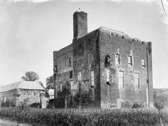 Kasteel DoornenburgAttraction · 2.9 km from the route
- 2
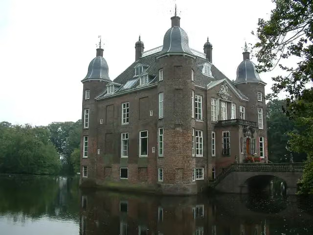 Kasteel BiljoenCastle · 9.9 km from the route
- 3
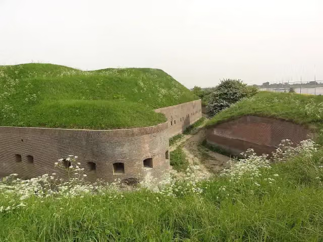 Fort PannerdenAttraction · 2.2 km from the route
- 4
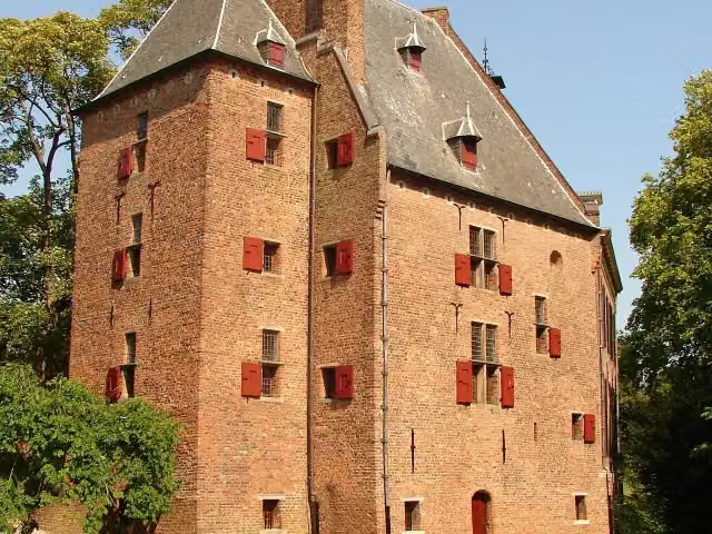 De KinkelenburgCastle · 9.8 km from the route
- 5
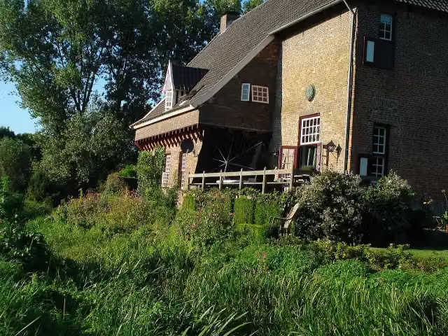 CamphuysenCastle · 658 m from the route
- 6
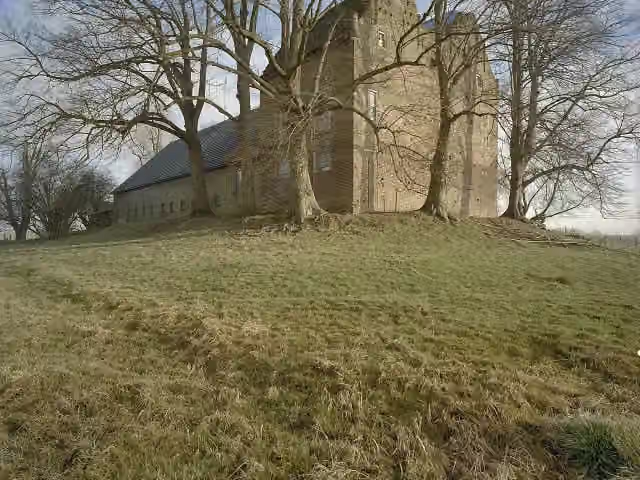 Huis LoowaardCastle · 3.6 km from the route
- 7
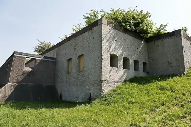 Fort WestervoortFort · 8.8 km from the route
- 8
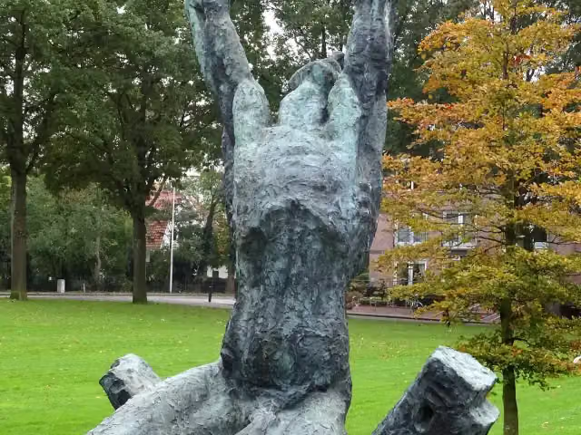 Waarom ik?Memorial · 9.7 km from the route
- 9
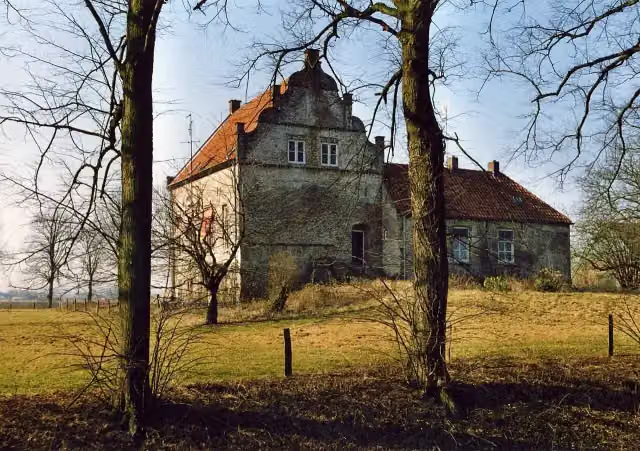 Huis te LathumCastle · 8 km from the route
- 10
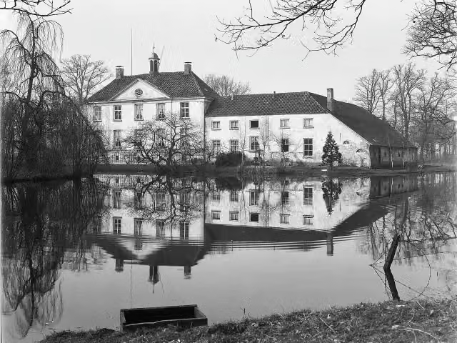 Huize BabberichCastle · 1.9 km from the route
- 11
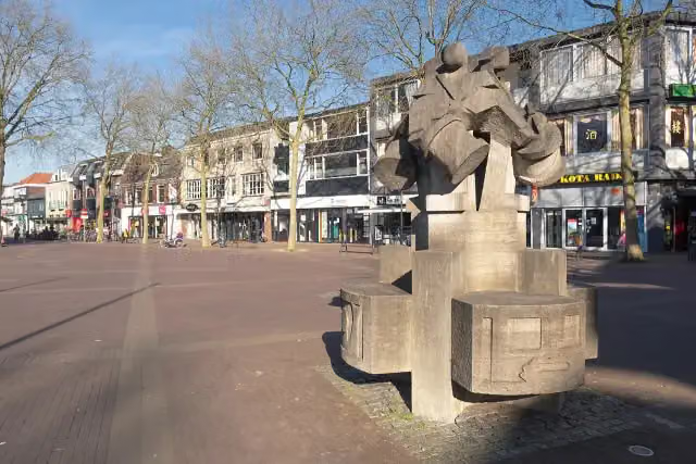 De Vier TamboersMemorial · 1.6 km from the route
- 12
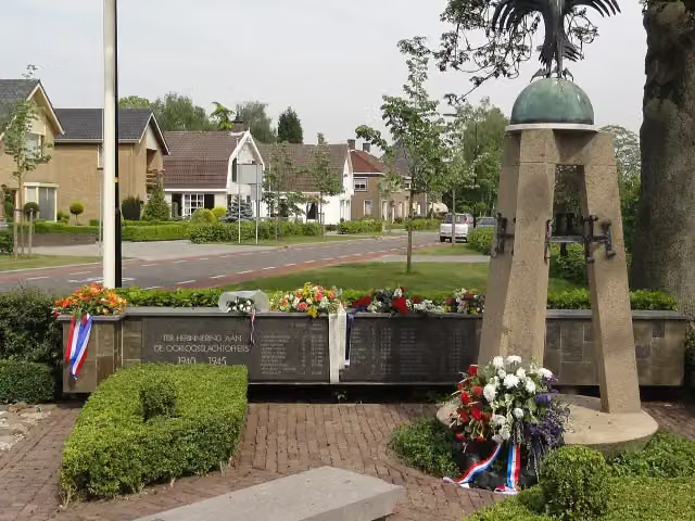 FeniksMemorial · 3 km from the route
- 13
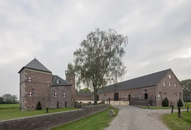 Burg ZelemCastle · 8.8 km from the route
- 14
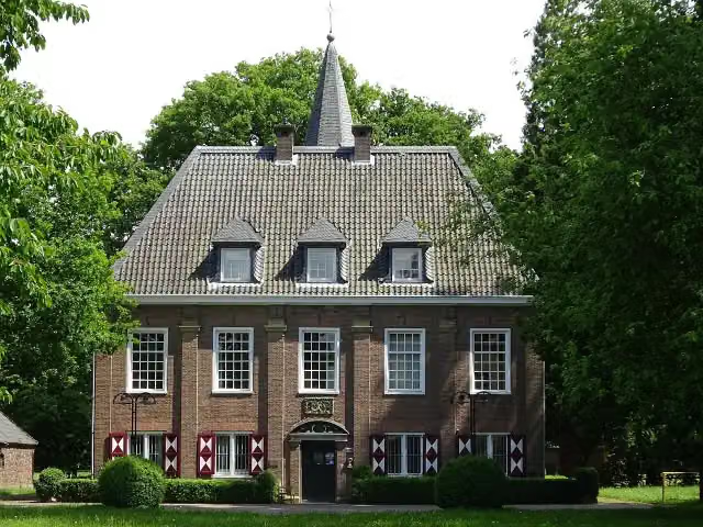 Schlösschen BorgheesCastle · 9.6 km from the route
- 15
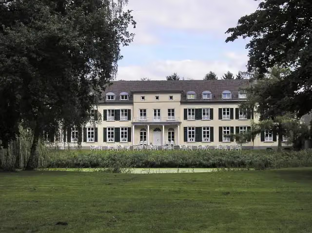 Schloss GnadentalCastle · 9.9 km from the route
- 16
 Panorama FibulaObservation tower · 4.1 km from the route
- 17Huis de ByvanckCastle · 4.8 km from the route
- 18Uitkijktoren HulzenbergObservation tower · 7.5 km from the route
- 19Kriegsdenkmal BrienenMonument · 8.4 km from the route
- 20Ooijpolder - Groenlanden - UitkijktorenObservation tower · 9.8 km from the route
- 21Alte Mühle DonsbrüggenAttraction · 9.9 km from the route
Explore more
Frequently asked questions
How long is the Klompenpad Rijnstrangenpad walk?
The Rijnstrangenpad is 14 km long. It is a local walking route.
Is the Klompenpad Rijnstrangenpad walk a circular route?
Yes, the Rijnstrangenpad is a circular route. You start and finish at the same place.
How much elevation gain and loss does the Klompenpad Rijnstrangenpad walk have?
The Rijnstrangenpad has 9 m of ascent and 13 m of descent. So it is an almost flat walk.
What type of surface does the Klompenpad Rijnstrangenpad walk have?
Most of the Rijnstrangenpad is unpaved (62%). In addition, 19% is natural surface and 19% is asphalt.
How many benches are there along the Klompenpad Rijnstrangenpad walk?
There are 10 benches along the Rijnstrangenpad. You can find them as rest stops along the route.
Is the Klompenpad Rijnstrangenpad walk a clog path?
That is not in the available facts. The Rijnstrangenpad is a local walking route of 14 km.
Starting point
More routes from this place
Route data © OpenStreetMap contributors





