 Outdoor Pitstop
Walking route · Woudenberg · Updated on 14 November 2026
Klompenpad Dashorsterpad walk
Klompenpad Dashorsterpad is a walk of 12.7 km from Woudenberg that starts and ends at the same spot. Along the way you'll find 7 benches.
i
The route step by step
From start to finish, with what you pass along the way and the distance in between.
- 12.7 km
- ± 2:50 h
- ↑ 0 m · ↓ 0 m
- Moderate
- Circular walk
- Local route
- Colour of the signs
This route is in pieces in OpenStreetMap, so there are no kilometres per pitstop. Along the way you'll find 7 benches.
Follow these steps in the appNo public toilet along the wayThere is no public toilet within 100 m of the route. Go before you start, or find one a bit further away in the app.
The route with the pitstops and sights within 100 m of it.
1 sight along the way
In the order you pass them. With the Outdoor Pitstop app you hear their story on the spot.
i
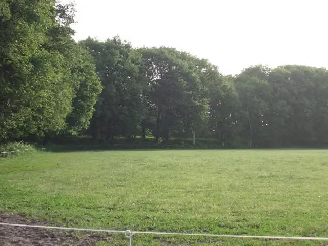
Photo: HenkvD · Wikimedia Commons · CC BY-SA 3.0View the photo on Wikimedia CommonsFort
Elevation and terrain
- Up
- ↑ 0 m
- Down
- ↓ 0 m
- Highest point
- 6 m
- Lowest point
- 4 m
- 4 stairs
Elevation from AHN (Rijkswaterstaat), smoothed.
Way types
12.7 km in total- Road: 4.6 km
- Path: 3.3 km
- Track: 2.7 km
- Cycleway: 1.8 km
- Street: 225 m
- Stairs: 4 stairs
Surfaces
12.7 km in total- Asphalt: 3.6 km
- Gravel: 1.5 km
- Unpaved: 1.4 km
- Paved: 1.3 km
- Natural: 1.2 km
- Unknown: 3.7 km
About the walking route Klompenpad Dashorsterpad
Updated on 14 November 2026, with data from OpenStreetMap, the AHN and Copernicus.
Where do you walk?
Klompenpad Dashorsterpad is a circular walk of 12.7 km from Woudenberg: it starts and ends in the same place.
How hard is the route?
The route is almost flat. You climb 0 m in total and descend 0 m. There are 4 flights of steps along the way. Allow ± 2:50 h, without breaks. The level is moderate.
What paths do you walk on?
The longest part is road (4.6 km), path (3.3 km) and track (2.7 km). Of the surface, 3.6 km asphalt and 1.5 km gravel. For 3.7 km the surface is not known.
Pitstops along the way
Within 100 metres of the route there are 7 benches. There is no public toilet within 100 metres of the route. The Outdoor Pitstop app navigates you there.
Klompenpad Dashorsterpad walk: a 13 km circular route
The Klompenpad Dashorsterpad walk is a local walking route of 13 km. It is a circular route, so you start and finish in the same place and do not need to return to your starting point afterwards. On this page you will find the map of the route, so you can see exactly where you are walking. The elevation profile is also shown, so you can see how the route climbs and descends. We also show the pitstops along the way: the public toilets, the drinking water and the benches. That way you know in advance where you can take a break, and you can plan the 13 km walk at your own pace.
Surface and types of path along the way
Of the 13 km walk, 40% runs over asphalt. The rest is made up of 16% gravel, 16% unpaved ground, 14% paved surfaces and 13% natural ground. So you walk on a mix of firm and softer stretches. Be aware of the unpaved sections, as they can feel different after rain than in dry weather. The types of path also vary. 36% of the route follows an ordinary road and 26% a footpath. A field or forest track covers 21%, and a cycle path 14%. This means you can choose footwear in advance that suits the surface you will be walking on for most of the route.
Along the way: pitstops and points of interest
Along the way there are 7 benches. They are good places to sit down, rest, have a drink or eat something. The map shows where they are, so you can choose your breaks in advance. Along the way you pass the Voorwerk op de Roffelaarskade, a fort. It lies next to the route, so you can take a look at it during the walk and pause there for a moment.
Walks nearby
6- OudenhorsterpadEasy · Circular walk7.7 km
- Grebbeliniepad - 08 - Pothbrug-LeusbroekerwegEasy · From A to B4.9 km
- Utrechtpad etappe 7Moderate · From A to B15.7 km
- Grebbeliniepad - 07 - De Groep-PothbrugEasy · From A to B4.3 km
- Utrechtpad etappe 6Moderate · From A to B18.5 km
- TermatenpadModerate · Circular walk13.2 km
Sights nearby
Within 10 km of the route, best known first.
- 1
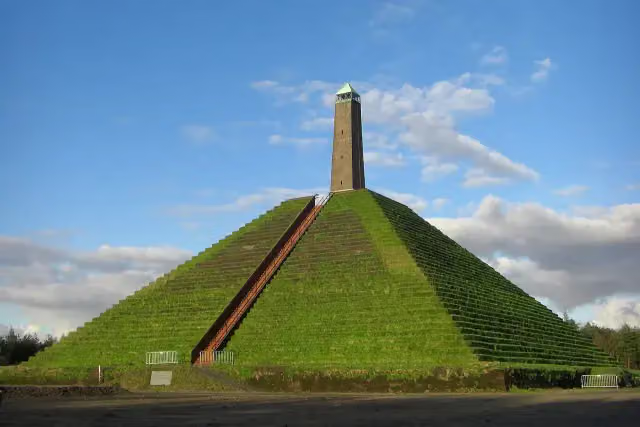 Pyramid of AusterlitzAttraction · 7.3 km from the route
- 2
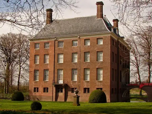 Kasteel AmerongenCastle · 9.4 km from the route
- 3
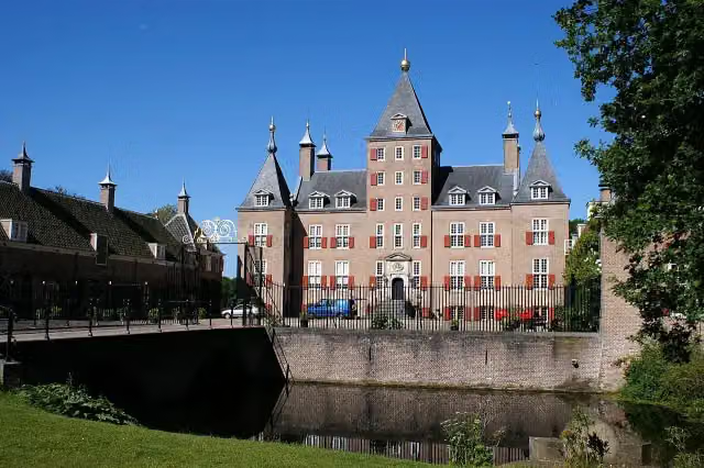 Kasteel RenswoudeCastle · 4.2 km from the route
- 4
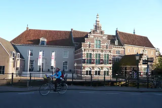 Museum AmersfoortMuseum · 8.2 km from the route
- 5
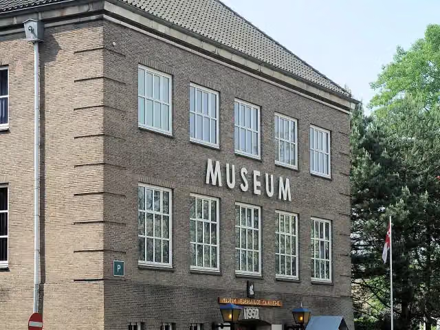 CavaleriemuseumMuseum · 9.3 km from the route
- 6
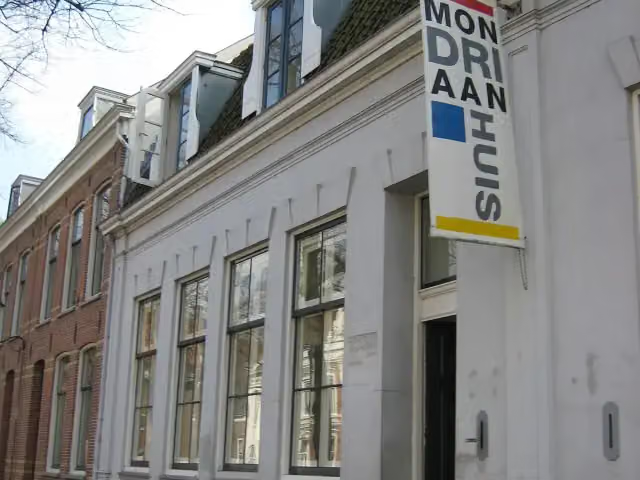 MondriaanhuisMuseum · 7.8 km from the route
- 7
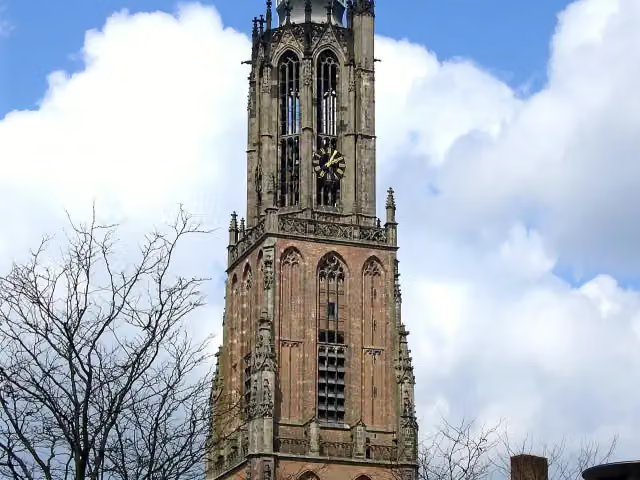 Onze Lieve VrouwetorenAttraction · 7.9 km from the route
- 8
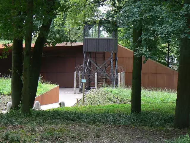 Nationaal Monument Kamp AmersfoortMuseum · 7.5 km from the route
- 9
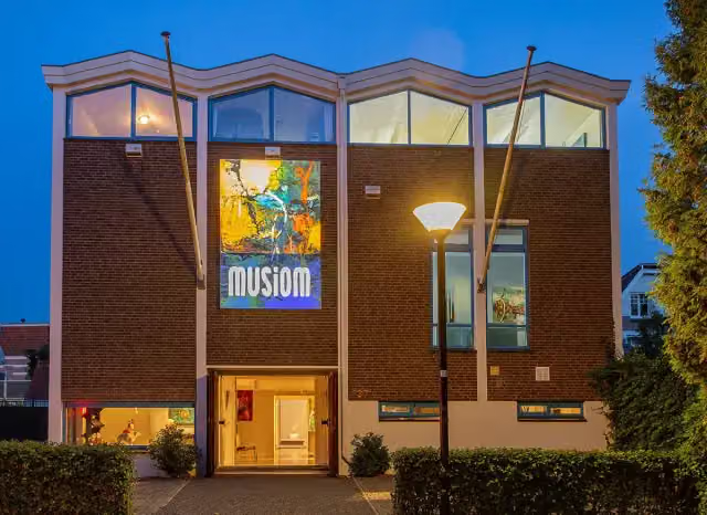 MusiomMuseum · 7.6 km from the route
- 10
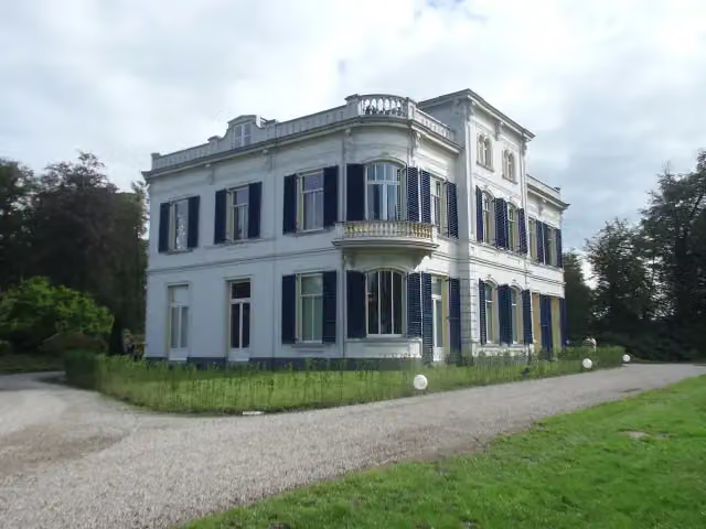 De BoomCastle · 2.4 km from the route
- 11
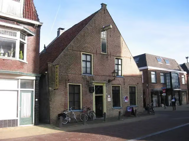 Nairac MuseumMuseum · 7.8 km from the route
- 12
 Nederlands PluimveemuseumMuseum · 8.5 km from the route
- 13
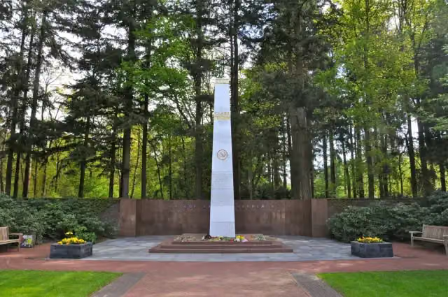 Sovjet EreveldMemorial · 6.6 km from the route
- 14
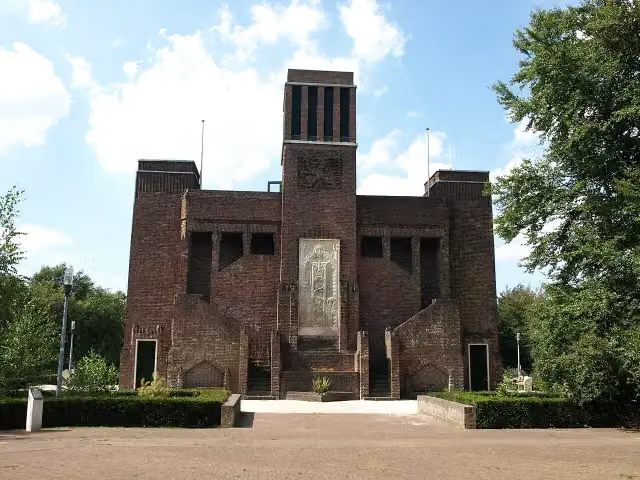 BelgenmonumentMonument · 8.6 km from the route
- 15
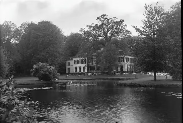 Huize Den TreekCastle · 4.3 km from the route
- 16
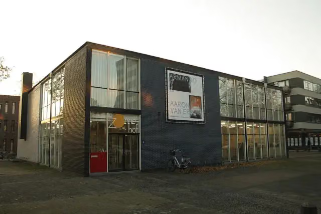 RietveldpaviljoenMuseum · 7.8 km from the route
- 17
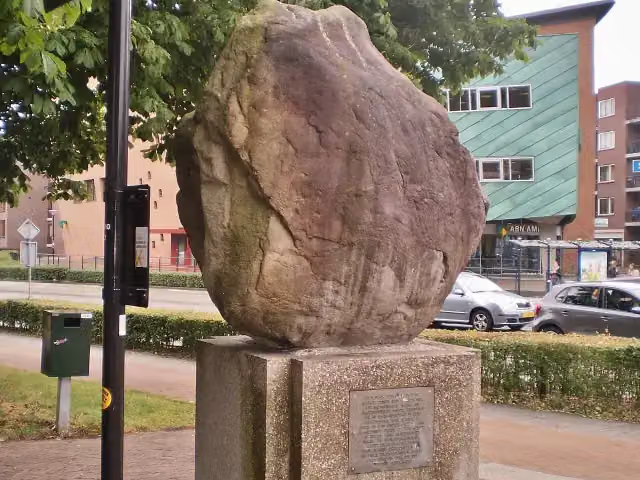 Amersfoortse KeiMemorial · 7.8 km from the route
- 18
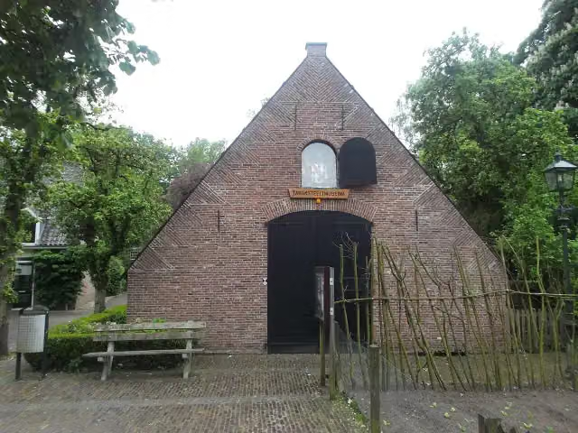 TabaksteeltmuseumMuseum · 9.1 km from the route
- 19
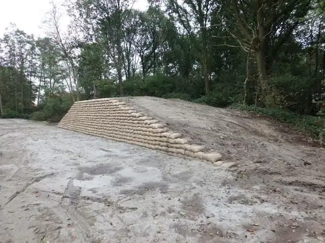 Voorwerk op de AsschatterkeerkadeFort · 2.7 km from the route
- 20
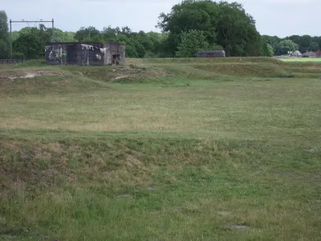 Linie van JuffrouwwijkFort · 5.3 km from the route
- 21
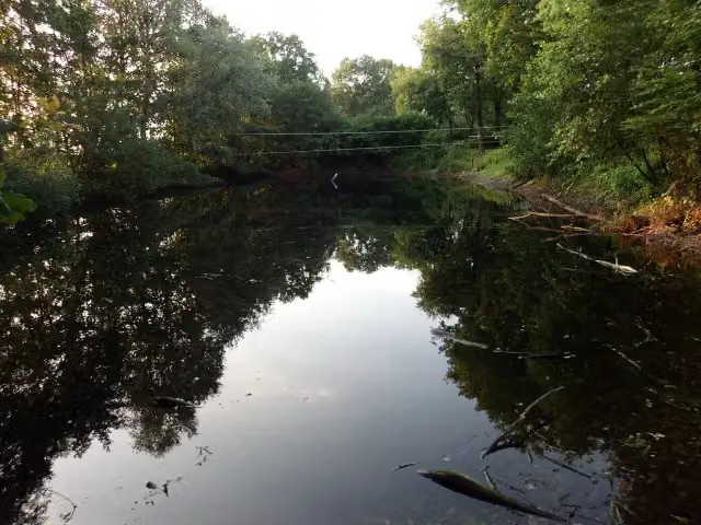 Fort aan de Buursteeg NoordFort · 6.3 km from the route
- 22
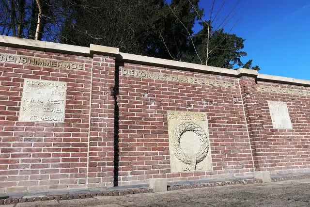 Fusillade AppelwegMemorial · 7.9 km from the route
- 23
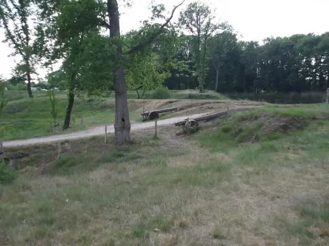 Werk aan de DaatselaarFort · 4.3 km from the route
- 24
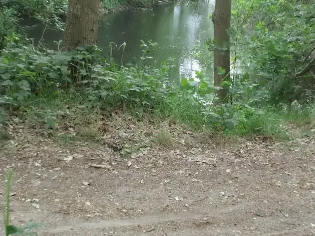 Voorwerk aan de EngelaarFort · 2.9 km from the route
- 25
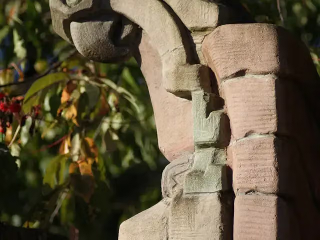 Herdenkingsbank Christine de Bosch KemperMemorial · 8.1 km from the route
Explore more
Frequently asked questions
How long is the Klompenpad Dashorsterpad walk?
The Dashorsterpad is 13 km long. It is a local walking route.
Is the Klompenpad Dashorsterpad walk a circular route?
Yes, the Dashorsterpad is a circular route, so you start and finish in the same place.
Is the Klompenpad Dashorsterpad walk a klompenpad route?
This is not stated in the details of this route. The Dashorsterpad is a local walking route of 13 km.
What is the surface of the Klompenpad Dashorsterpad walk?
Most of the Dashorsterpad is asphalt (40%). The rest consists of gravel (16%), unpaved (16%), paved (14%) and natural surface (13%).
How many benches are there along the Klompenpad Dashorsterpad walk?
There are 7 benches along the Dashorsterpad.
What sights are there along the Klompenpad Dashorsterpad walk?
Along the route is the Voorwerk on the Roffelaarskade, a fort.
Starting point
More routes from this place
Route data © OpenStreetMap contributors





