 Outdoor Pitstop
Walking route · Sangerhausen · Updated on 14 November 2026
Europäischer Fernwanderweg E11, Sachsen-Anhalt (O) walk
Europäischer Fernwanderweg E11, Sachsen-Anhalt (O) is a walk of 167 km from Sangerhausen. Along the way you'll find 271 benches, 1 water point and 9 public toilets.
i
i
i
The route step by step
From start to finish, with what you pass along the way and the distance in between.
- 167 km
- ± 38:30 h
- ↑ 819 m · ↓ 1,007 m
- Hard
- From A to B
- International route
Start in Sangerhausen
0 km20.9 km · 14 benches
Public toilet
20.9 km3.2 km · 3 benches

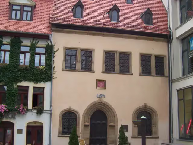
Luthers Sterbehaus
24.1 kmPublic toilet
216 m
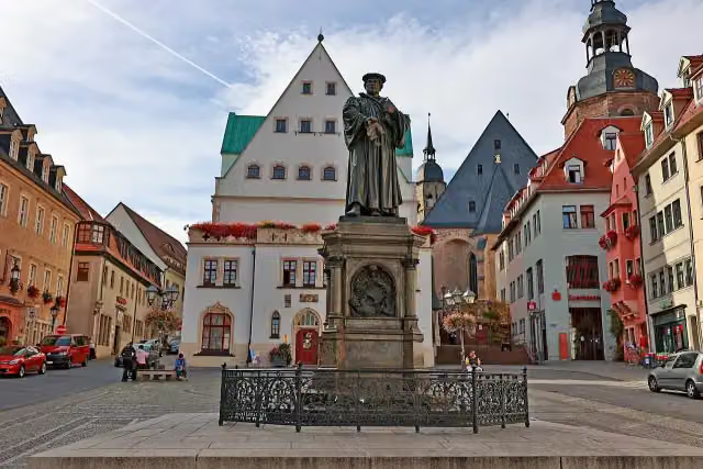
Luther Denkmal
24.3 kmWater point
406 m · 4 benches
Luthers Geburtshaus
24.7 kmPublic toilet
11.4 km · 12 benches
Public toilet
36.1 km7.6 km · 4 benches
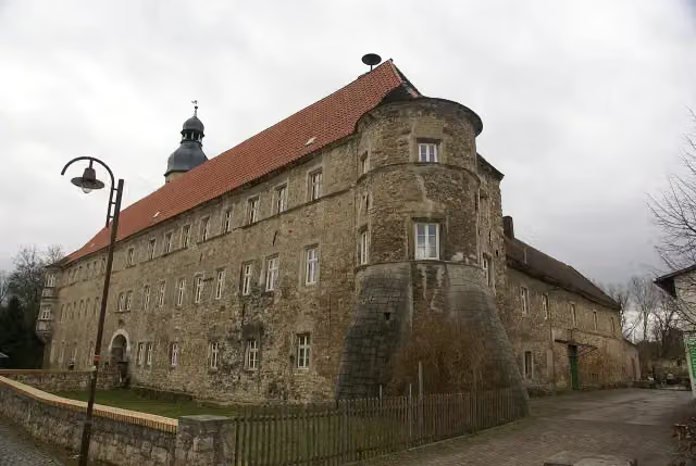
Schloß Schochwitz
43.7 kmCastle
18.6 km · 65 benches
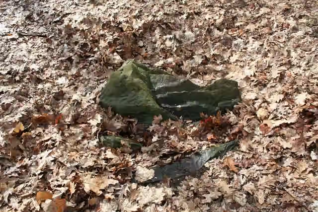
Steinkiste am Waldkater
62.3 kmArchaeological site
3.4 km · 28 benches
Burg Giebichenstein Kunsthochschule Halle - Campus Kunst and 1 more
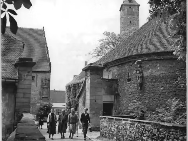
65.7 kmBurg Giebichenstein - Oberburg
789 m · 44 benches
Public toilet
66.5 km2.7 km · 4 benches
Franzosenstein
69.2 kmArchaeological site
13 km · 22 benches
Burg Krosigk and 1 more
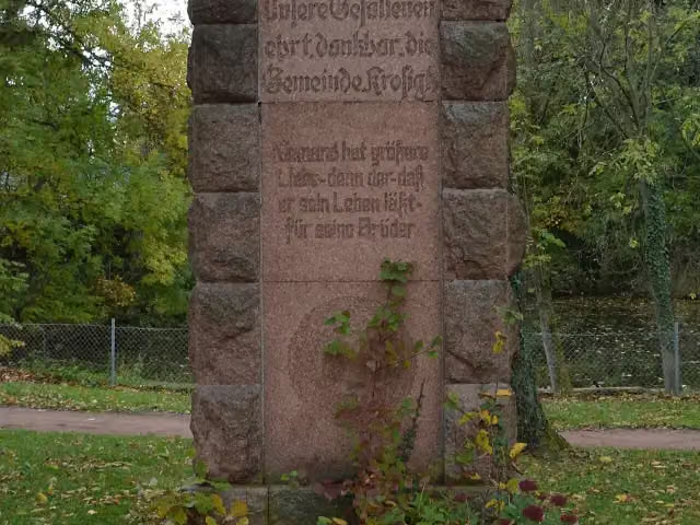
82.3 kmKriegerdenkmal Krosigk
9.2 km · 11 benches
Dorfmuseum Görzig
91.5 kmMuseum
27.7 km · 9 benches
Public toilet
119.2 km249 m
Public toilet
119.4 km8.6 km · 15 benches
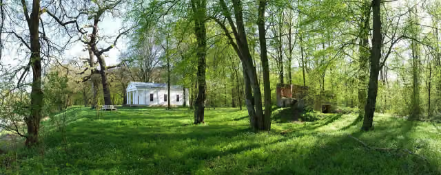
Luisium
128 kmPublic toilet
2.9 km · 6 benches
Public toilet
130.9 km6.3 km · 13 benches
Gedenkstein 1914-1918
137.1 kmMemorial
29.9 km · 17 benches
Finish
167 km
Longest stretch without a toilet: 52.7 kmBetween 66.5 km and 119.2 km there is no public toilet within 100 m of the route.
The route with the pitstops and sights within 100 m of it.
13 sights along the way
In the order you pass them. With the Outdoor Pitstop app you hear their story on the spot. 5 more along the route are on the map.
i
Photo: Andreas Thum · Wikimedia Commons · CC BY-SA 3.0View the photo on Wikimedia CommonsMuseum · after 24.2 km
i
Photo: Viktoria Kühne · Wikimedia Commons · CC BY-SA 4.0View the photo on Wikimedia CommonsAttraction · after 24.4 km

Museum · after 24.7 km
i
Photo: Pomfuttge · Wikimedia Commons · CC BY-SA 3.0View the photo on Wikimedia CommonsCastle · after 43.7 km
i
Photo: Einsamer Schütze · Wikimedia Commons · CC BY-SA 3.0View the photo on Wikimedia CommonsArchaeological site · after 62.3 km
i
Photo: Gerbeth · Wikimedia Commons · CC BY-SA 3.0 deView the photo on Wikimedia CommonsCastle · after 65.7 km
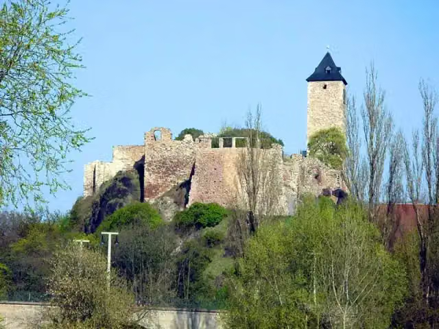
Castle · after 65.8 km
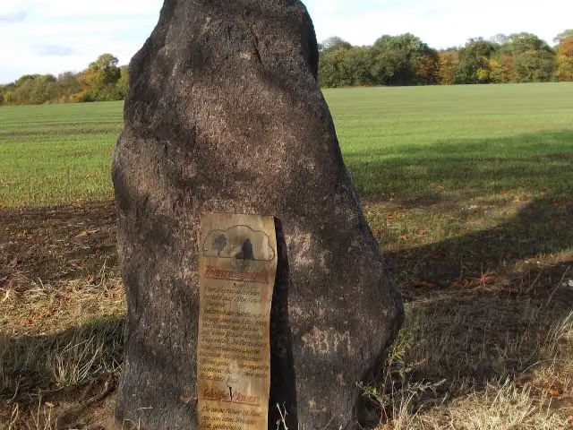
i
Photo: Jwaller · Wikimedia Commons · CC BY-SA 3.0View the photo on Wikimedia CommonsArchaeological site · after 69.2 km
Elevation and terrain
- Up
- ↑ 819 m
- Down
- ↓ 1,007 m
- Highest point
- 403 m
- Lowest point
- 61 m
- 5-10% slope · 1.7 km
- 1 flight of stairs
Elevation from Copernicus GLO-30 (European Union and ESA), smoothed.
produced using Copernicus WorldDEM-30 © DLR e.V. 2010-2014 and © Airbus Defence and Space GmbH 2014-2018 provided under COPERNICUS by the European Union and ESA; all rights reserved
Way types
167 km in total- Track: 77.8 km
- Street: 30.7 km
- Path: 23.1 km
- Road: 16.9 km
- Cycleway: 8.5 km
- Footpath: 6 km
- Busy road: 3.6 km
- Stairs: 1 flight of stairs
- Unknown: 100 m
Surfaces
167 km in total- Asphalt: 72.7 km
- Unpaved: 25.9 km
- Gravel: 25.6 km
- Paved: 16.3 km
- Natural: 9.1 km
- Unknown: 17.1 km
About the walking route Europäischer Fernwanderweg E11, Sachsen-Anhalt (O)
Updated on 14 November 2026, with data from OpenStreetMap, the AHN and Copernicus.
Where do you walk?
Europäischer Fernwanderweg E11, Sachsen-Anhalt (O) is a walking route of 167 km that starts in Sangerhausen. It does not end where it starts. You start in Wippra and finish in Groß Marzehns. Along the way you pass Luthers Sterbehaus (after 24.2 km), Luther Denkmal (after 24.4 km) and Luthers Geburtshaus (after 24.7 km).
How hard is the route?
You climb 819 m in total and descend 1,007 m. There is 1 flight of steps along the way. Allow ± 38:30 h, without breaks. The level is hard.
What paths do you walk on?
The longest part is track (77.8 km), street (30.7 km) and path (23.1 km). Of the surface, 72.7 km asphalt and 25.9 km unpaved. For 17.1 km the surface is not known.
Pitstops along the way
Within 100 metres of the route there are 271 benches, 1 water point and 9 public toilets. You can fill your bottle after 24.3 km. The longest stretch without a toilet is 52.7 km. The Outdoor Pitstop app navigates you there.
Walks nearby
6- Lutherweg Sachsen-AnhaltHard · From A to B553.7 km
- Europäischer Fernwanderweg E11, Sachsen-Anhalt (W)Hard · From A to B99.9 km
- Wanderweg Seeburg- Wippra - FalkensteinHard · From A to B37.7 km
- Harzklub Weg 60BEasy · From A to B5.6 km
- Lutherweg LK MSHHard · From A to B79.2 km
- Harzklub-Weg 65BEasy · From A to B5.1 km
Sights nearby
Within 10 km of the route, best known first.
- 1
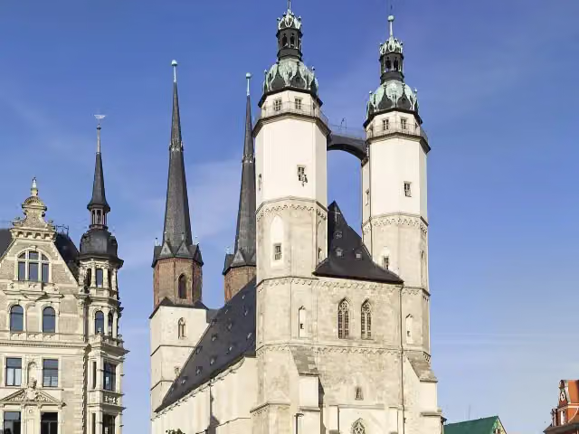 Marktkirche Unser Lieben FrauenAttraction · 2.1 km from the route
- 2
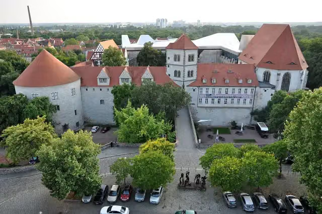 MoritzburgCastle · 1.6 km from the route
- 3
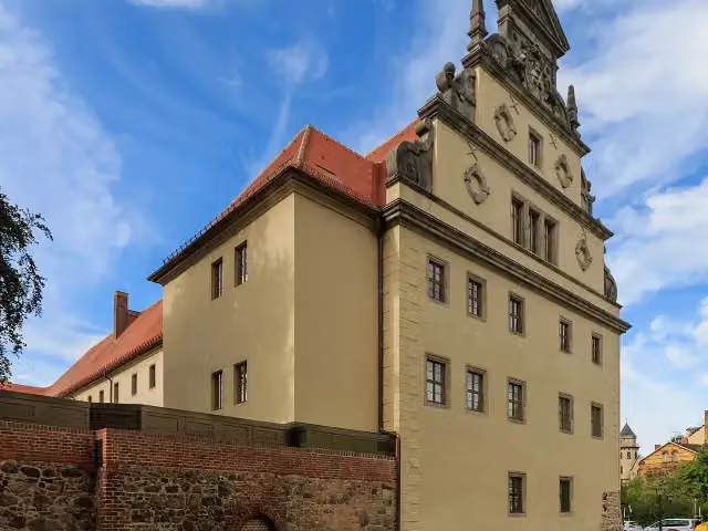 LutherhausAttraction · 9.4 km from the route
- 4
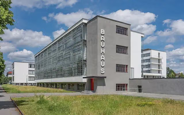 MeisterhäuserAttraction · 2.9 km from the route
- 5
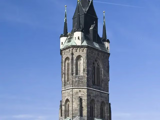 Roter TurmAttraction · 2.1 km from the route
- 6
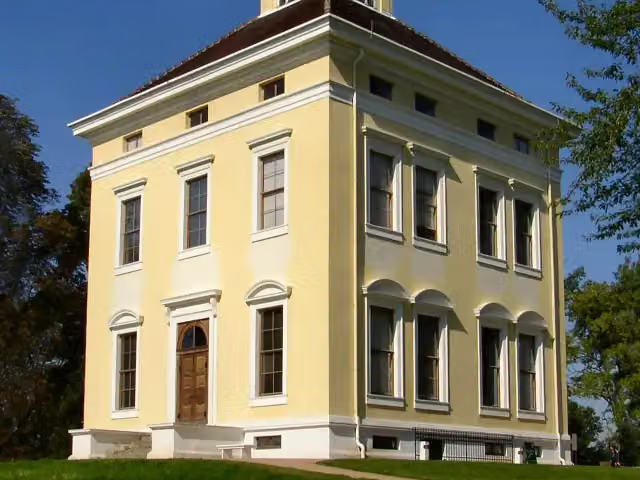 Schloss LuisiumCastle · 108 m from the route
- 7
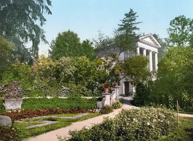 FloratempelAttraction · 157 m from the route
- 8
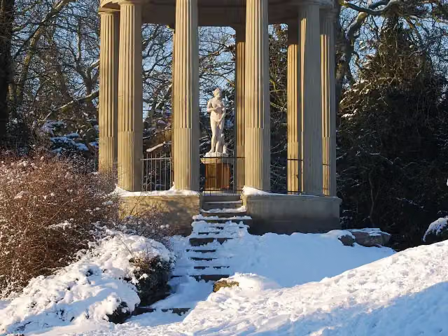 VenustempelAttraction · 230 m from the route
- 9
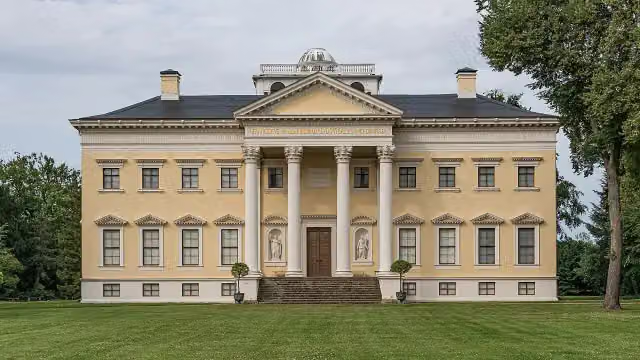 Schloss WörlitzCastle · 526 m from the route
- 10
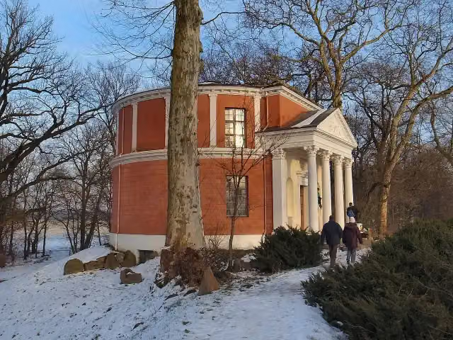 PantheonAttraction · 804 m from the route
- 11
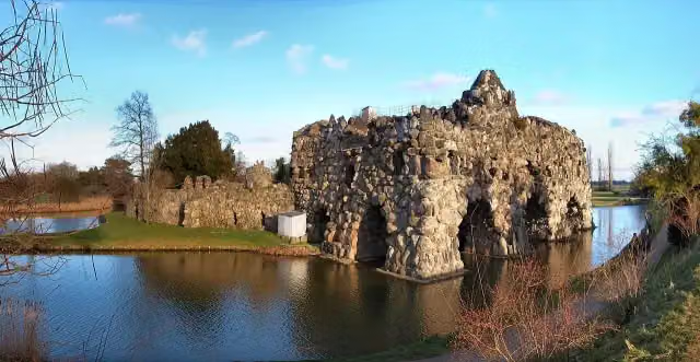 VesuvAttraction · 1.3 km from the route
- 12
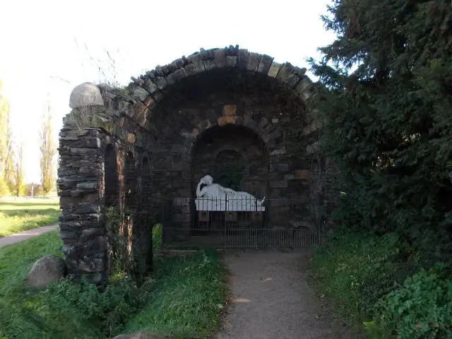 Grotte der EgeriaAttraction · 1.4 km from the route
- 13
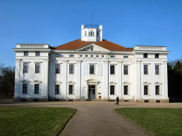 Anhaltische GemäldegalerieMuseum · 2.5 km from the route
- 14
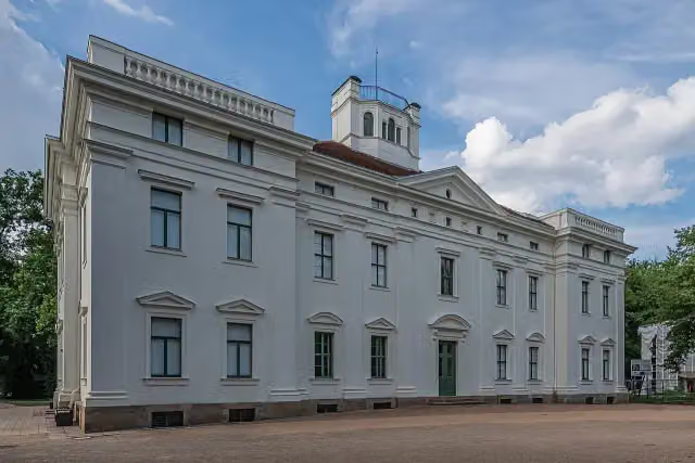 Schloss GeorgiumCastle · 2.5 km from the route
- 15
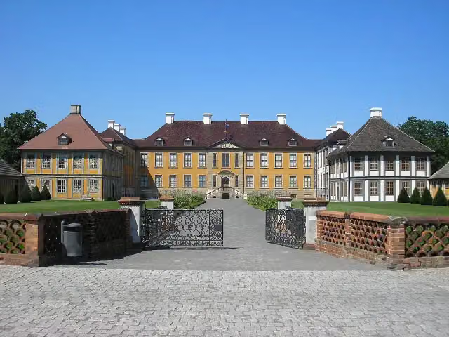 Schloss OranienbaumCastle · 4.6 km from the route
- 16
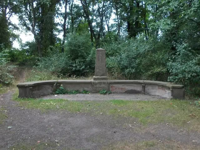 Eichendorff-BankAttraction · 114 m from the route
- 17
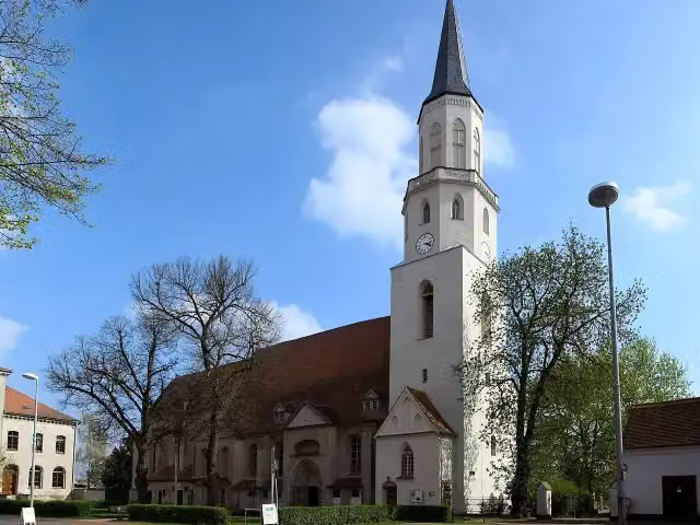 St. NicolaiAttraction · 115 m from the route
- 18
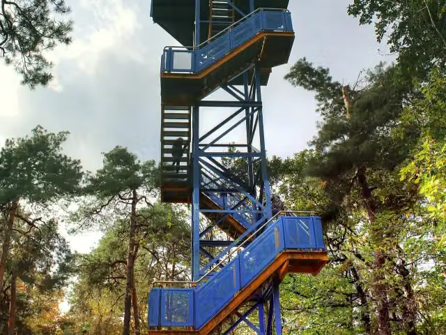 KolkturmObservation tower · 137 m from the route
- 19
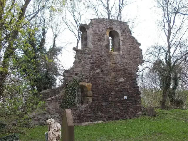 Alte Kapelle Petersberg (capella vetus)Ruins · 180 m from the route
- 20
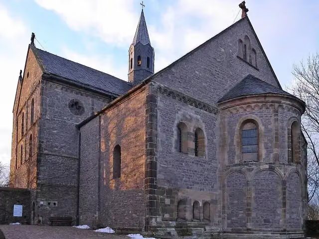 Stiftskirche St. PetrusAttraction · 193 m from the route
- 21
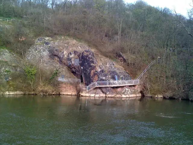 JahnhöhleAttraction · 198 m from the route
- 22
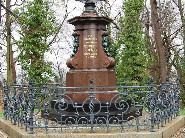 Friedrich-Koenig-DenkmalAttraction · 228 m from the route
- 23
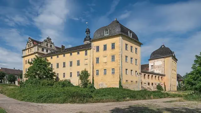 Schloß Coswig (Anhalt)Castle · 235 m from the route
- 24
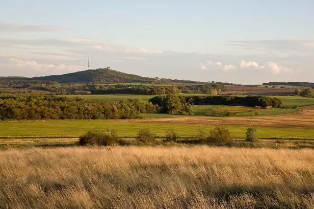 Bismarckturm HalleObservation tower · 263 m from the route
- 25
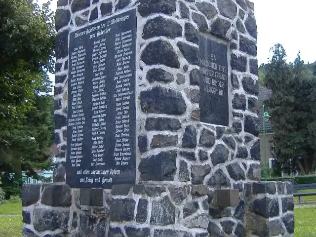 KriegerdenkmalMemorial · 290 m from the route
Explore more
More walks around Sangerhausen
Frequently asked questions
How long is Europäischer Fernwanderweg E11, Sachsen-Anhalt (O)?
Europäischer Fernwanderweg E11, Sachsen-Anhalt (O) is 167 km long. Allow ± 38:30 h of walking: 4.5 km an hour and 10 minutes more per 100 metres of climbing, without breaks.
Is this route a circular walk?
No, the route runs from Wippra to Groß Marzehns.
Where does this route start?
The route starts in Sangerhausen.
How hard is this route?
Hard, with 819 m of climbing.
Are there toilets along this route?
Yes, there are 9 public toilets within 100 m of the route. The longest stretch without a toilet is 52.7 km.
Can you fill up with water along this route?
Yes, there are 1 water point within 100 m of the route.
What is there to see along this route?
Along the way you pass Luthers Sterbehaus, Luther Denkmal and Luthers Geburtshaus.
Can I download this route as a GPX file?
Yes. Sign in with your Outdoor Pitstop account and choose Download GPX at the top of this page: 10 routes a month for free, unlimited with Pro.
Starting point
More routes from this place
Route data © OpenStreetMap contributors





