 Outdoor Pitstop
Walking route · Erbach · Updated on 14 November 2026
Alemannenweg walk
Alemannenweg is a walk of 148.3 km from Erbach. Along the way you'll find 441 benches, 4 water fountains and refill points and 10 public toilets.
i
i
i
The route step by step
From start to finish, with what you pass along the way and the distance in between.
- 148.3 km
- ± 12:45 h per stage
- ↑ 3,217 m · ↓ 3,221 m
- Hard per stage
- From A to B
- Regional route
Start in Erbach
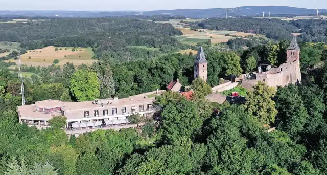
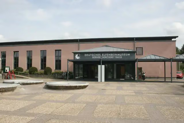
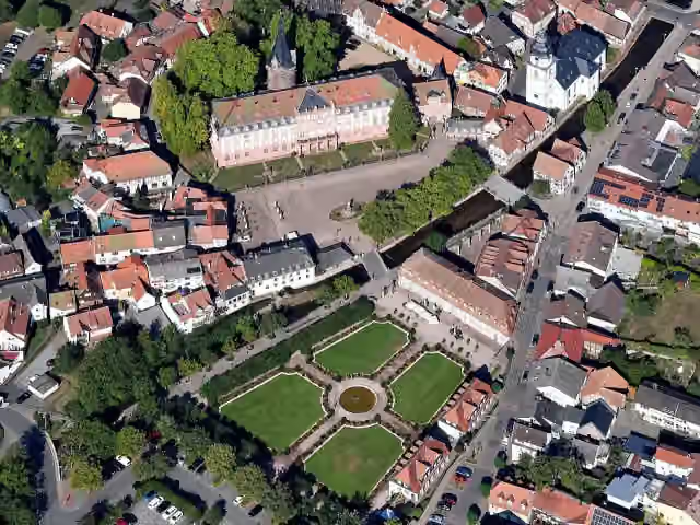
0 kmAt the start: Deutsches Elfenbeinmuseum and Erbacher Schloss.
1.6 km · 24 benches
Public toilet
1.6 km17.2 km · 33 benches

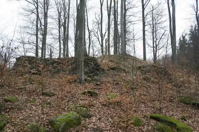
Beerfurther Schlösschen
18.8 kmCastle
7.9 km · 26 benches
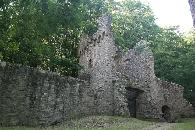
Burg Rodenstein
26.7 kmCastle
5.7 km · 4 benches
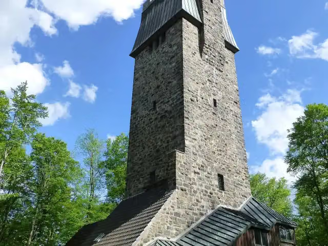
Kaiserturm
32.4 kmPublic toilet
23.5 km · 121 benches
Fürstenlager
55.8 kmPublic toilet
174 m · 3 benches
Public toilet
56 km487 m · 13 benches
Public toilet
56.5 km2.7 km · 10 benches
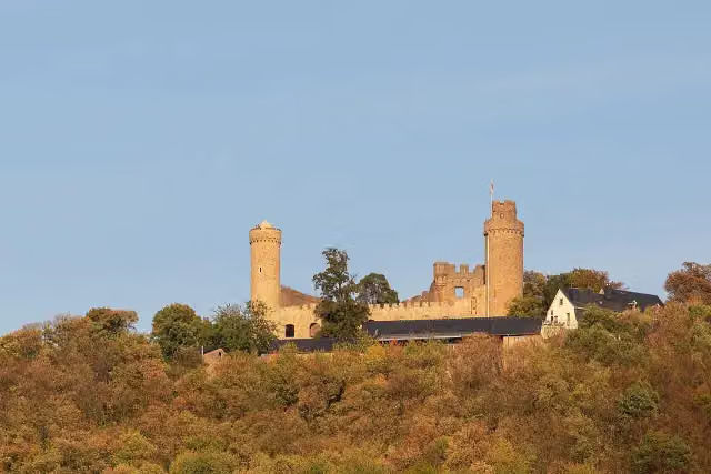
Schloss Auerbach
59.2 kmPublic toilet
4 km · 4 benches
Water point
63.2 km660 m
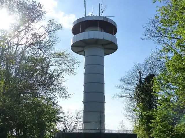
Aussichtsturm Melibokus
63.9 kmPublic toilet
1.3 km · 4 benches
Water point
65.1 km3.9 km · 6 benches
Alsbacher Schloss Burgturm
69 kmPublic toilet
5 km · 24 benches
Klosterruine Heiligenberg
74 kmRuins
2.6 km · 5 benches
Tannenberg
76.5 kmAttraction
2.2 km · 7 benches
Seeheimer Schloss
78.7 kmAttraction
4.3 km · 5 benches
Public toilet
83 km201 m
Burg Frankenstein
83.2 kmAttraction
880 m · 4 benches
Public toilet and water point
84.1 km19.9 km · 44 benches
Bollwerk
104 kmAttraction
331 m · 14 benches
Schloss Lichtenberg
104.3 kmCastle
12.7 km · 39 benches
Water point
117 km31.3 km · 47 benches
Finish
148.3 kmAt the finish: Einhardsbasilika.
Longest stretch without a toilet: 64.2 kmBetween 84.1 km and 148.3 km there is no public toilet within 100 m of the route.
The route with the water points, toilets and sights within 100 m of it.
16 sights along the way
In the order you pass them. With the Outdoor Pitstop app you hear their story on the spot. 8 more along the route are on the map.
i
Photo: Haselburg-müller · Wikimedia Commons · CC BY-SA 3.0View the photo on Wikimedia CommonsMuseum · after 41 m
i
Photo: Carsten Steger · Wikimedia Commons · CC BY-SA 4.0View the photo on Wikimedia CommonsAttraction · after 45 m
i
Photo: Haselburg-müller · Wikimedia Commons · CC BY-SA 3.0View the photo on Wikimedia CommonsCastle · after 18.8 km
i
Photo: Haselburg-müller · Wikimedia Commons · CC BY-SA 3.0View the photo on Wikimedia CommonsCastle · after 26.7 km
i
Photo: Muck · Wikimedia Commons · CC BY-SA 4.0View the photo on Wikimedia CommonsObservation tower · after 32.4 km

Attraction · after 55.9 km
i
Photo: Philipp Hayer · Wikimedia Commons · CC BY-SA 4.0View the photo on Wikimedia CommonsAttraction · after 59.2 km
i
Photo: Muck · Wikimedia Commons · CC BY-SA 4.0View the photo on Wikimedia CommonsObservation tower · after 64 km
Stages (3)
Elevation and terrain
- Up
- ↑ 3,217 m
- Down
- ↓ 3,221 m
- Highest point
- 614 m
- Lowest point
- 129 m
- 5-10% slope · 45.9 km
- 10-15% slope · 10.1 km
- 15-20% slope · 1.3 km
- 13 stairs
Elevation from Copernicus GLO-30 (European Union and ESA), smoothed.
produced using Copernicus WorldDEM-30 © DLR e.V. 2010-2014 and © Airbus Defence and Space GmbH 2014-2018 provided under COPERNICUS by the European Union and ESA; all rights reserved
Way types
148.3 km in total- Track: 111.7 km
- Path: 20.7 km
- Street: 10.2 km
- Road: 2.6 km
- Busy road: 825 m
- Footpath: 819 m
- Stairs: 13 stairs
- Unknown: 75 m
Surfaces
148.3 km in total- Gravel: 57.6 km
- Unpaved: 38.6 km
- Asphalt: 15.9 km
- Natural: 5.3 km
- Paved: 4.4 km
- Unknown: 25.9 km
About the walking route Alemannenweg
Updated on 14 November 2026, with data from OpenStreetMap, the AHN and Copernicus.
Where do you walk?
Alemannenweg is a walking route of 148.3 km that starts in Erbach. It does not end where it starts. You start in Erbach and finish in Michelstadt. Along the way you pass Deutsches Elfenbeinmuseum (after 41 m), Erbacher Schloss (after 45 m) and Beerfurther Schlösschen (after 18.8 km).
How hard is the route?
You climb 3,217 m in total and descend 3,221 m. There are 13 flights of steps along the way. Allow ± 12:45 h per stage, without breaks. Per stage the level is hard.
What paths do you walk on?
The longest part is track (111.7 km), path (20.7 km) and street (10.2 km). Of the surface, 57.6 km gravel and 38.6 km unpaved. For 25.9 km the surface is not known.
Pitstops along the way
Within 100 metres of the route there are 441 benches, 4 water fountains and refill points and 10 public toilets. You can fill your bottle after 63.2 km, after 65.1 km, after 84.1 km and after 117 km. The longest stretch without a toilet is 64.2 km. The Outdoor Pitstop app navigates you there.
The Alemannenweg is a 148 km walking route of the Odenwald Club through the western Odenwald and along the Hessian Bergstrasse, from Erbach to Michelstadt-Steinbach. Its name recalls the Alemanni, a Germanic people who also settled in the Odenwald in their early period. In seven stages it runs via Reichelsheim, Lindenfels and Bensheim to Frankenstein Castle, and via the Veste Otzberg back to the Mümling valley. Three quarters is on farm and forest tracks. Drinking water is scarce: we know of 4 points, and 10 toilets.
Source: Wikipedia (CC BY-SA)
Walks nearby
6- Heppenheim - TauberbischofsheimHard · From A to B113.4 km
- Odenwaldklub HW 22, Bensheim - Erbach - WalldürnHard · From A to B75 km
- Odenwaldklub HW 25, Bad König - Eberbach - EppingenHard · From A to B92.3 km
- Nibelungensteig - Variante ErbachHard · From A to B28.2 km
- Hugenotten- und Waldenserpfad, Etappe Erbach(Odenwald) - BeerfurthHard · From A to B21.3 km
- Hessenweg 2 (Teilstück Seligenstadt- Hirschhorn)Hard · From A to B92 km
Sights nearby
Within 10 km of the route, best known first.
- 1
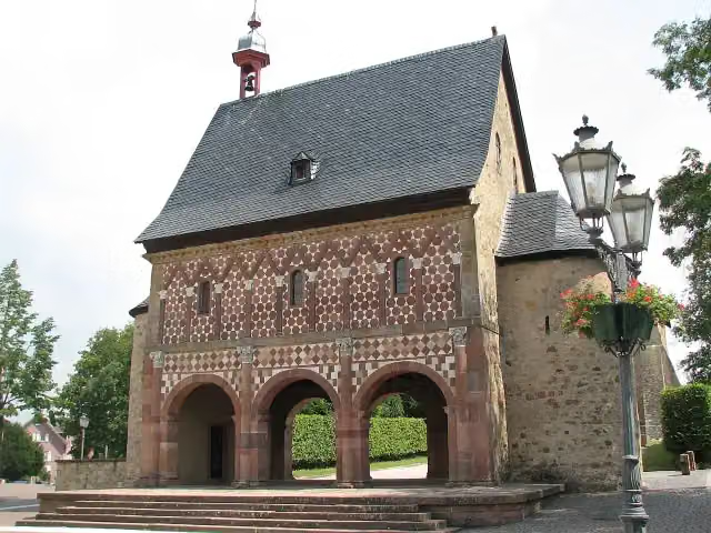 Lorsch AbbeyAttraction · 6.7 km from the route
- 2
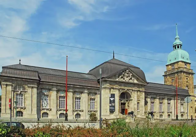 Hessisches LandesmuseumMuseum · 9 km from the route
- 3
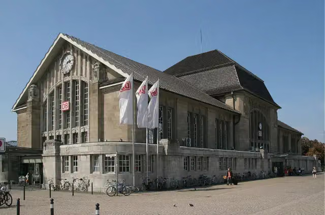 Darmstadt HauptbahnhofAttraction · 9.1 km from the route
- 4
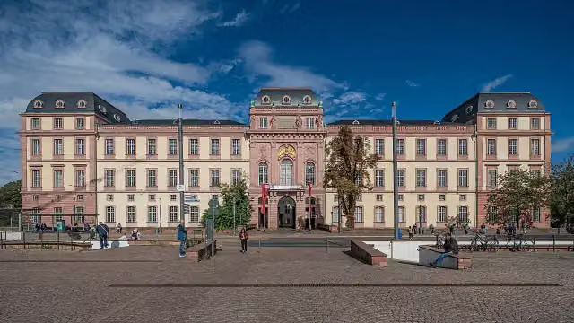 Residential Palace DarmstadtAttraction · 8.8 km from the route
- 5
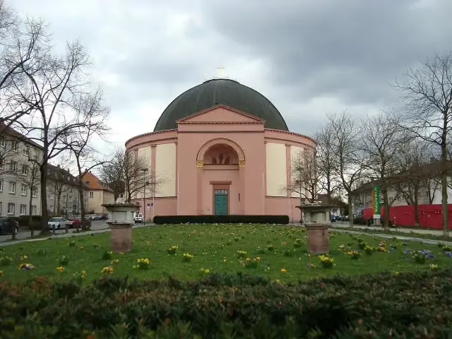 LudwigskircheAttraction · 8.3 km from the route
- 6
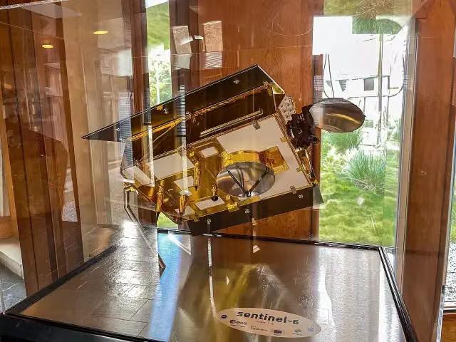 Model of Sentinel-6Attraction · 8.4 km from the route
- 7
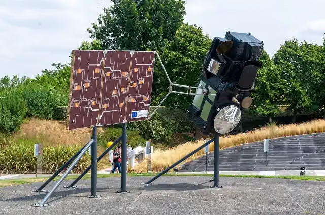 Model of Sentinel-3Attraction · 8.4 km from the route
- 8
 Model of MetopAttraction · 8.4 km from the route
- 9
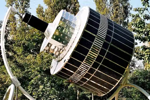 Model of MeteosatAttraction · 8.5 km from the route
- 10
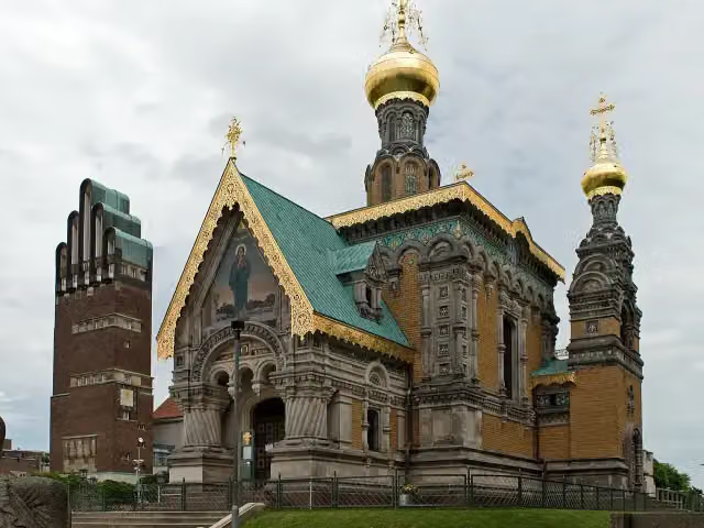 Russian Orthodox Church of Saint Mary MagdaleneAttraction · 9.1 km from the route
- 11
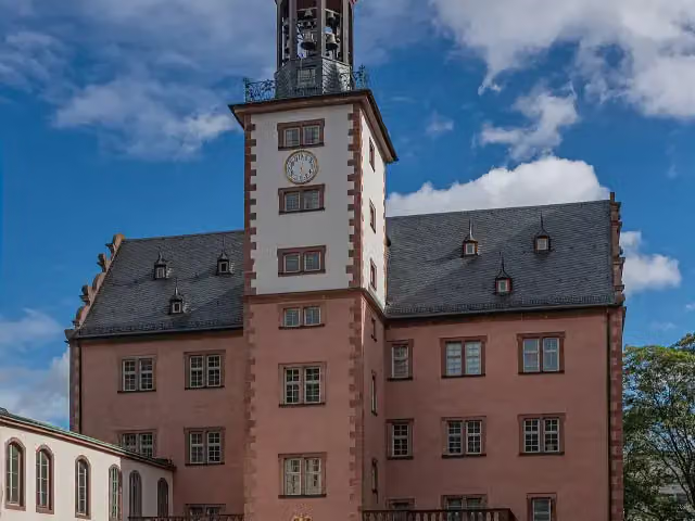 SchlossmuseumMuseum · 8.8 km from the route
- 12
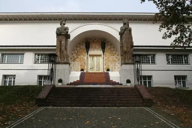 Artists' colonyMuseum · 9.1 km from the route
- 13
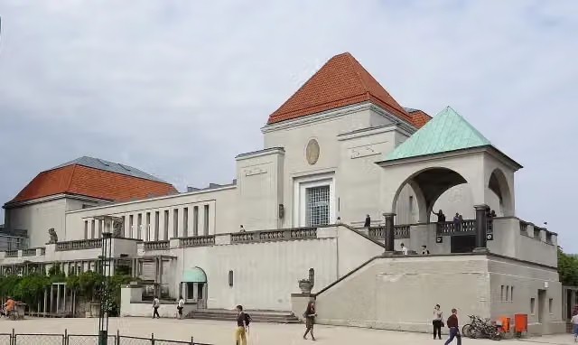 Exhibition hallMuseum · 9.2 km from the route
- 14
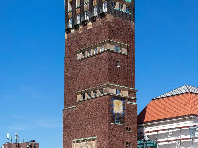 HochzeitsturmObservation tower · 9.2 km from the route
- 15
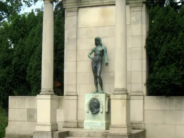 Goethe MonumentMemorial · 9.2 km from the route
- 16
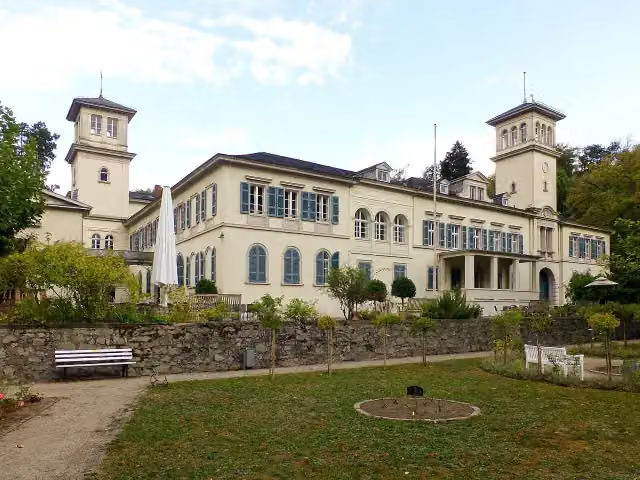 Schloss HeiligenbergCastle · 142 m from the route
- 17
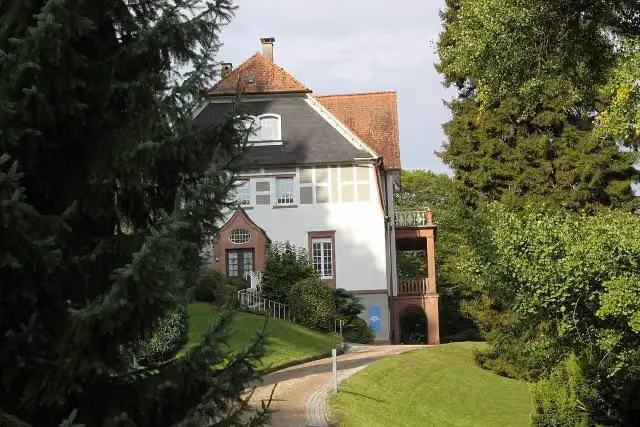 Museum Stangenberg MerckMuseum · 153 m from the route
- 18
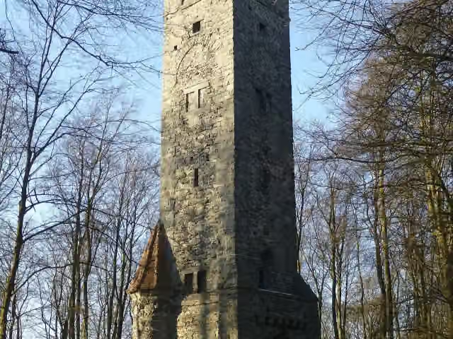 OhlyturmAttraction · 161 m from the route
- 19
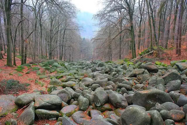 FelsenmeerAttraction · 202 m from the route
- 20
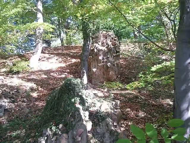 Burg JossaCastle · 332 m from the route
- 21
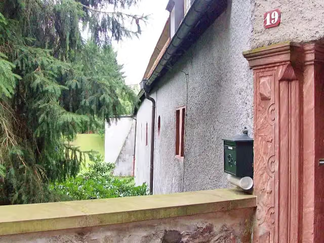 Schloß ErnsthofenCastle · 375 m from the route
- 22
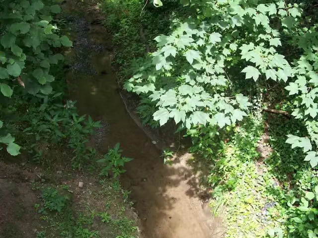 GoethebrunnenAttraction · 485 m from the route
- 23
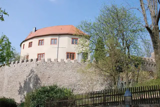 Schloss ReichenbergCastle · 557 m from the route
- 24
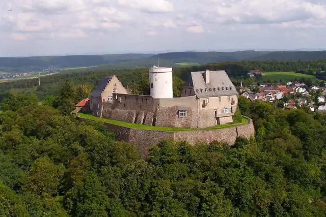 Veste OtzbergAttraction · 562 m from the route
- 25
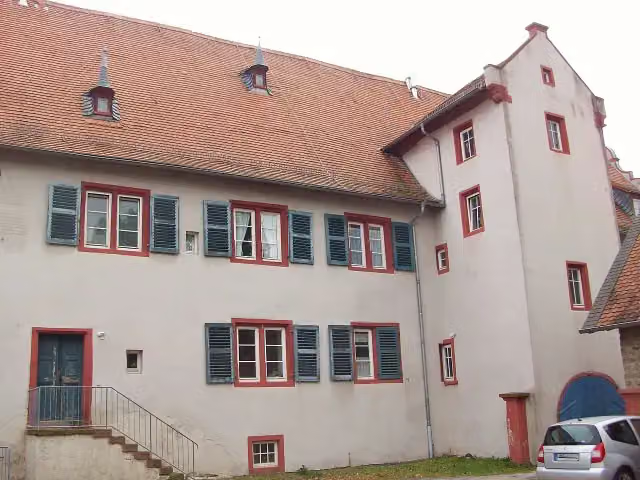 Jagdschloss ZwingenbergCastle · 712 m from the route
Explore more
Frequently asked questions
How long is Alemannenweg?
Alemannenweg is 148.3 km long, in 3 parts of 49.4 km on average. Allow ± 12:45 h per part of walking: 4.5 km an hour and 10 minutes more per 100 metres of climbing, without breaks.
Is this route a circular walk?
No, the route runs from Erbach to Michelstadt.
Where does this route start?
The route starts in Erbach.
How hard is this route?
Hard per stage, with 1,072 m per stage of climbing.
Are there toilets along this route?
Yes, there are 10 public toilets within 100 m of the route. The longest stretch without a toilet is 64.2 km.
Can you fill up with water along this route?
Yes, there are 4 water fountains and refill points within 100 m of the route.
What is there to see along this route?
Along the way you pass Deutsches Elfenbeinmuseum, Erbacher Schloss and Beerfurther Schlösschen.
Can I download this route as a GPX file?
Yes. Sign in with your Outdoor Pitstop account and choose Download GPX at the top of this page: 10 routes a month for free, unlimited with Pro.
Starting point
More routes from this place
Route data © OpenStreetMap contributors





