 Outdoor Pitstop
Walking route · Heppenheim · Updated on 14 November 2026
Heppenheim - Tauberbischofsheim walk
Heppenheim - Tauberbischofsheim is a walk of 113.4 km from Heppenheim. Along the way you'll find 253 benches, 3 water fountains and refill points, 10 public toilets and 2 bike pumps.
i
i
i
The route step by step
From start to finish, with what you pass along the way and the distance in between.
- 113.4 km
- ± 29:40 h
- ↑ 2,660 m · ↓ 2,572 m
- Hard
- From A to B
- Regional route
Start in Heppenheim
0 kmAt the start: 2 public toilets.
551 m · 12 benches
Public toilet
551 m305 m · 2 benches

Kurmainzer Amtshof
856 mPublic toilet
779 m · 12 benches
Water point
1.6 km10 km · 20 benches
Water point
11.7 km3.4 km · 21 benches
Bike pump
15.1 km2.5 km · 17 benches
Public toilet and water point
17.5 km3.2 km · 10 benches
Public toilet
20.7 km17.3 km · 43 benches
Erbacher Schloss and 1 more
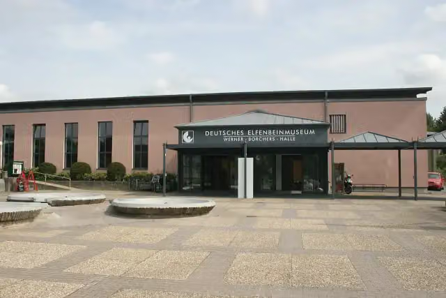
38 kmDeutsches Elfenbeinmuseum
255 m · 12 benches
Public toilet
38.3 km25.4 km · 21 benches
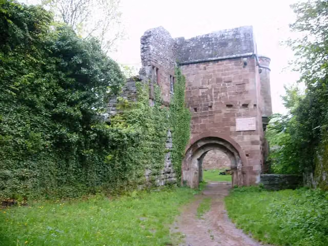
Burg Wildenberg
63.6 kmCastle
4.1 km · 6 benches
Public toilet
67.7 km12.2 km · 8 benches
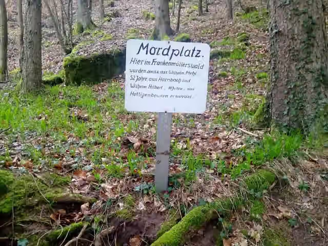
Mordplatz
80 kmMemorial
5.5 km · 9 benches
Stadt- und Wallfahrtsmuseum and 2 more
85.5 kmElfenbeinmuseum, Schloss Walldürn and public toilet
10 km · 28 benches
Schloss Hardheim
95.5 kmCastle
162 m · 2 benches
Untere Burg
95.6 kmCastle
5.5 km · 7 benches
Burgruine Schweinberg
101.1 kmCastle
6.7 km
Public toilet
107.8 km5.3 km · 6 benches
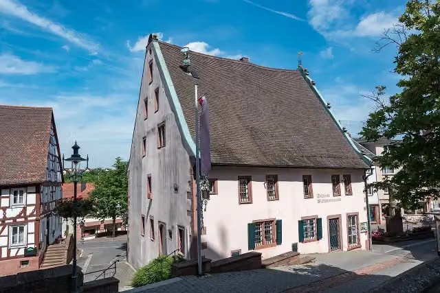
Museum Sonnenplatz-Apotheke
113.2 kmMuseum
199 m · 12 benches
Finish
113.4 kmAt the finish: bike pump.
Longest stretch without a toilet: 29.5 kmBetween 38.3 km and 67.7 km there is no public toilet within 100 m of the route.
The route with the pitstops and sights within 100 m of it.
12 sights along the way
In the order you pass them. With the Outdoor Pitstop app you hear their story on the spot. 4 more along the route are on the map.

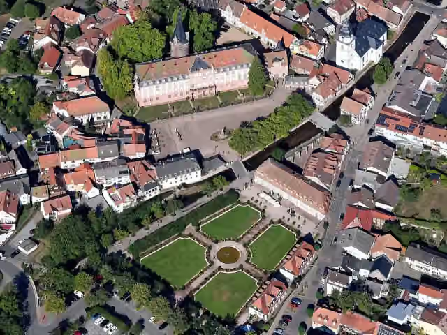
Monument · after 886 m
i
Photo: Carsten Steger · Wikimedia Commons · CC BY-SA 4.0View the photo on Wikimedia CommonsAttraction · after 38 km
i
Photo: Haselburg-müller · Wikimedia Commons · CC BY-SA 3.0View the photo on Wikimedia CommonsMuseum · after 38 km
i
Photo: Peter Weller at German Wikipedia · Wikimedia Commons · CC BY-SA 3.0View the photo on Wikimedia CommonsCastle · after 63.6 km
i
Photo: Granpar · Wikimedia Commons · CC BY-SA 4.0View the photo on Wikimedia CommonsMemorial · after 80 km
i
Photo: Tilman2007 · Wikimedia Commons · CC BY-SA 4.0View the photo on Wikimedia CommonsMuseum · after 85.5 km
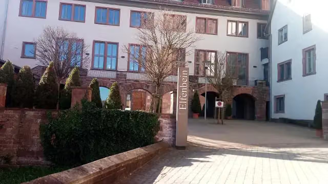
i
Photo: Granpar · Wikimedia Commons · CC BY-SA 3.0View the photo on Wikimedia CommonsMuseum · after 85.5 km
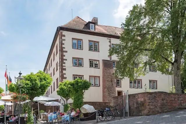
i
Photo: Tilman2007 · Wikimedia Commons · CC BY-SA 4.0View the photo on Wikimedia CommonsCastle · after 85.5 km
Elevation and terrain
- Up
- ↑ 2,660 m
- Down
- ↓ 2,572 m
- Highest point
- 526 m
- Lowest point
- 104 m
- 5-10% slope · 31.9 km
- 10-15% slope · 8 km
- 20% slope or steeper · 570 m
- 4 stairs
Elevation from Copernicus GLO-30 (European Union and ESA), smoothed.
produced using Copernicus WorldDEM-30 © DLR e.V. 2010-2014 and © Airbus Defence and Space GmbH 2014-2018 provided under COPERNICUS by the European Union and ESA; all rights reserved
Way types
113.4 km in total- Track: 72.9 km
- Street: 18.6 km
- Road: 11.4 km
- Path: 7.4 km
- Busy road: 1.7 km
- Footpath: 981 m
- Stairs: 4 stairs
Surfaces
113.4 km in total- Asphalt: 34.1 km
- Gravel: 33.8 km
- Unpaved: 11.2 km
- Paved: 7.6 km
- Natural: 850 m
- Unknown: 25.5 km
About the walking route Heppenheim - Tauberbischofsheim
Updated on 14 November 2026, with data from OpenStreetMap, the AHN and Copernicus.
Where do you walk?
Heppenheim - Tauberbischofsheim is a walking route of 113.4 km that starts in Heppenheim. It does not end where it starts. You start in Heppenheim and finish in Tauberbischofsheim. Along the way you pass Kurmainzer Amtshof (after 886 m), Erbacher Schloss (after 38 km) and Deutsches Elfenbeinmuseum (after 38 km).
How hard is the route?
You climb 2,660 m in total and descend 2,572 m. There are 4 flights of steps along the way. Allow ± 29:40 h, without breaks. The level is hard.
What paths do you walk on?
The longest part is track (72.9 km), street (18.6 km) and road (11.4 km). Of the surface, 34.1 km asphalt and 33.8 km gravel. For 25.5 km the surface is not known.
Pitstops along the way
Within 100 metres of the route there are 253 benches, 3 water fountains and refill points, 10 public toilets and 2 bike pumps. You can fill your bottle after 1.6 km, after 11.7 km and after 17.5 km. The longest stretch without a toilet is 29.5 km. The Outdoor Pitstop app navigates you there.
Walks nearby
6- Odenwald-Vogesen-Weg Teil 1Hard · From A to B96.4 km
- Blütenweg Teilstück Heppenheim - SchriesheimHard · From A to B35.5 km
- Burgensteig Bergstraße Etappe 4Moderate · From A to B10.9 km
- Blütenweg Teilstück Darmstadt - HeppenheimHard · From A to B30.7 km
- Burgensteig Bergstraße Etappe 3Hard · From A to B16.3 km
- Weinlagenwanderung (2022)Moderate · From A to B16.5 km
Sights nearby
Within 10 km of the route, best known first.
- 1
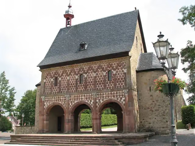 Lorsch AbbeyAttraction · 4.7 km from the route
- 2
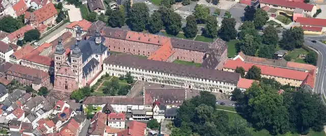 Abbey ChurchAttraction · 3.8 km from the route
- 3
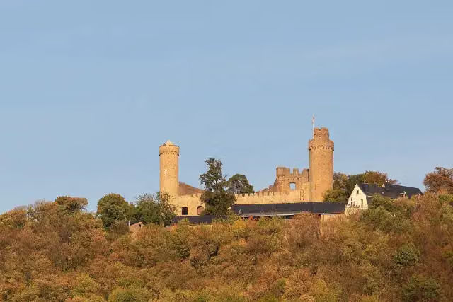 Schloss AuerbachAttraction · 6.9 km from the route
- 4
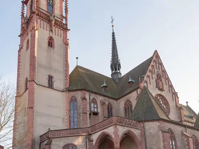 St. MartinAttraction · 183 m from the route
- 5
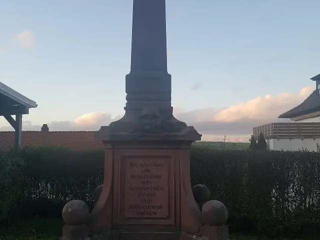 MemorialMemorial · 88 m from the route
- 6
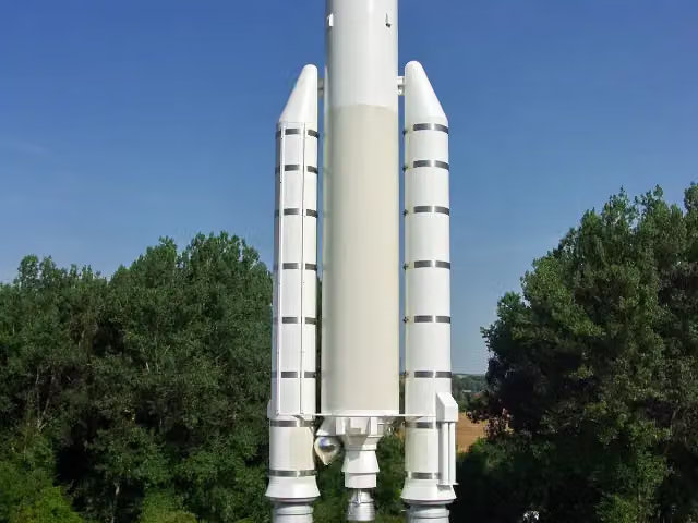 Walter HohmannMemorial · 148 m from the route
- 7
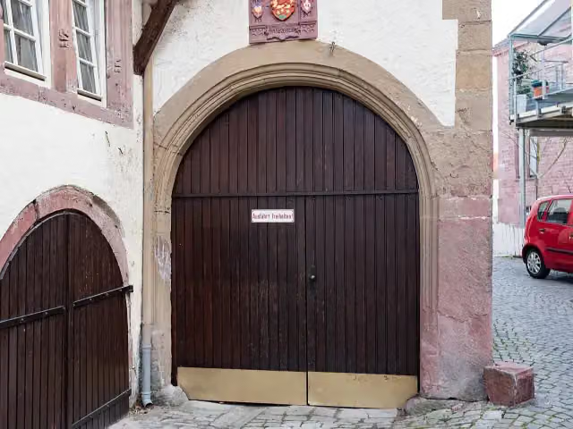 ZwingerAttraction · 167 m from the route
- 8
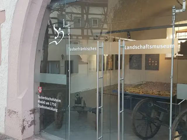 Tauberfränkisches LandschaftsmuseumMuseum · 210 m from the route
- 9
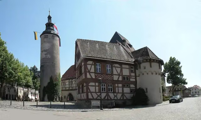 Kurmainzisches SchlossAttraction · 211 m from the route
- 10
 Museum Zeit(T)räumeMuseum · 253 m from the route
- 11
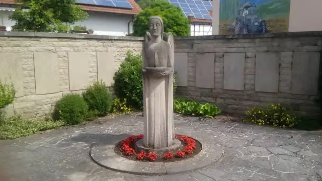 MemorialMemorial · 263 m from the route
- 12
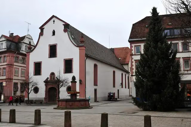 St. LiobakircheAttraction · 342 m from the route
- 13
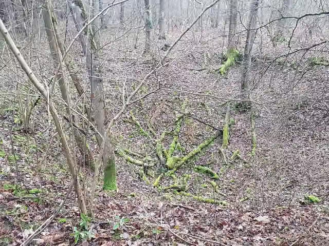 FuhrmannslochAttraction · 369 m from the route
- 14
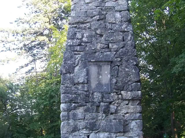 Bismarcksäule TauberbischofsheimMemorial · 479 m from the route
- 15
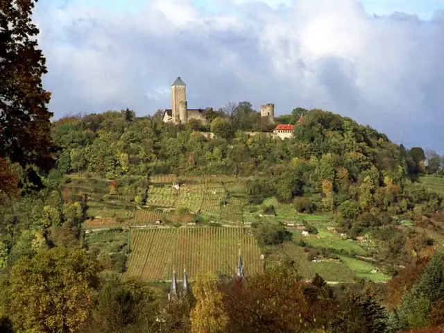 StarkenburgCastle · 543 m from the route
- 16
 VS-SchulmuseumMuseum · 555 m from the route
- 17
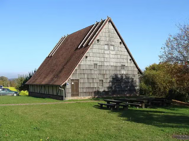 Waldmuseum Watterbacher HausMuseum · 583 m from the route
- 18
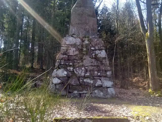 Odinia-DenkmalMemorial · 934 m from the route
- 19
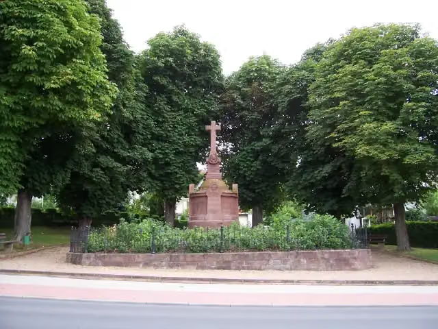 Württembergisches KriegerdenkmalMemorial · 1 km from the route
- 20
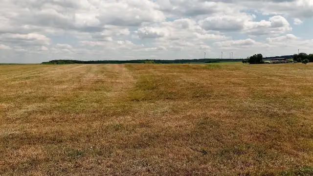 Kastellbad WalldürnArchaeological site · 1.1 km from the route
- 21
 Hochseilgarten Forest JumpAttraction · 1.2 km from the route
- 22
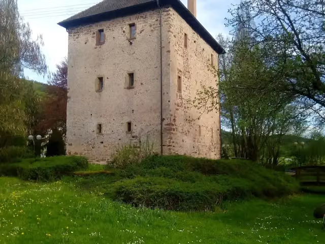 GötzenturmCastle · 1.4 km from the route
- 23
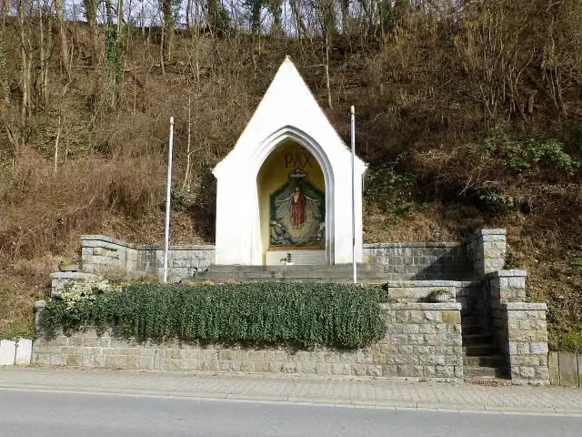 KriegerdenkmalMemorial · 1.5 km from the route
- 24
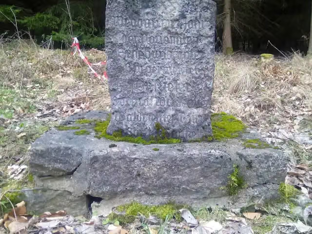 WegbauMemorial · 1.6 km from the route
- 25
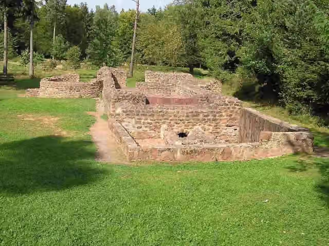 Römerbad WürzbergArchaeological site · 1.6 km from the route
Explore more
More walks around Heppenheim
Frequently asked questions
How long is Heppenheim - Tauberbischofsheim?
Heppenheim - Tauberbischofsheim is 113.4 km long. Allow ± 29:40 h of walking: 4.5 km an hour and 10 minutes more per 100 metres of climbing, without breaks.
Is this route a circular walk?
No, the route runs from Heppenheim to Tauberbischofsheim.
Where does this route start?
The route starts in Heppenheim.
How hard is this route?
Hard, with 2,660 m of climbing.
Are there toilets along this route?
Yes, there are 10 public toilets within 100 m of the route. The longest stretch without a toilet is 29.5 km.
Can you fill up with water along this route?
Yes, there are 3 water fountains and refill points within 100 m of the route.
What is there to see along this route?
Along the way you pass Kurmainzer Amtshof, Erbacher Schloss and Deutsches Elfenbeinmuseum.
Can I download this route as a GPX file?
Yes. Sign in with your Outdoor Pitstop account and choose Download GPX at the top of this page: 10 routes a month for free, unlimited with Pro.
Starting point
More routes from this place
Route data © OpenStreetMap contributors





