 Outdoor Pitstop
Walking route · Königswinter · Updated on 14 November 2026
[I] HWW Westerwald (Königswinter - Herborn) walk
[I] HWW Westerwald (Königswinter - Herborn) is a walk of 121.9 km from Königswinter. Along the way you'll find 345 benches, 2 water fountains and refill points and 13 public toilets.
i
i
The route step by step
From start to finish, with what you pass along the way and the distance in between.
- 121.9 km
- ± 6:10 h per stage
- ↑ 2,258 m · ↓ 2,087 m
- Hard per stage
- From A to B
- Regional route
- Colour of the signs
Start in Königswinter
0 kmAt the start: public toilet.
4.8 km · 37 benches
Public toilet
4.8 km21.9 km · 27 benches

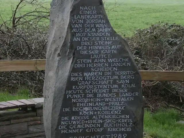
Dreiherrenstein
26.7 kmMemorial
19.6 km · 19 benches
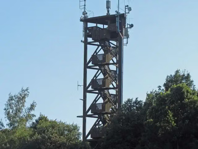
Raiffeisenturm
46.2 kmViewpoint
5 km · 11 benches
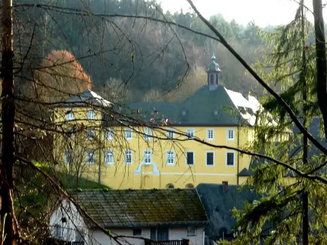
ehemaliges Franziskanerkloster Marienthal
51.2 kmAttraction
15.4 km · 32 benches
Mittelalterliches Schieferbergwerk Assberg
66.6 kmAttraction
2.7 km · 18 benches
Public toilet
69.3 km4 km · 26 benches
2 public toilets
73.3 km299 m · 24 benches
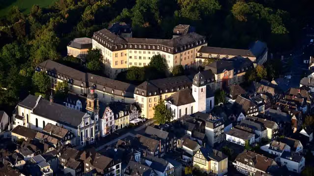
Hachenburg Castle
73.6 kmCastle
250 m · 11 benches
Public toilet
73.9 km313 m · 34 benches
Landschaftsmuseum Westerwald
74.2 kmMuseum
9.7 km · 19 benches
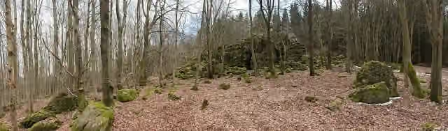
Großer Wolfstein
83.9 kmViewpoint
26.7 km · 43 benches
Töpfermuseum
110.6 kmWater point
184 m
Water point
110.8 km630 m
Erdbachschwinde
111.4 kmAttraction
2.7 km · 7 benches
Museum Erdbachium
114.1 kmMuseum
7.4 km · 19 benches
3 public toilets
121.5 km170 m · 11 benches
3 public toilets
121.7 km196 m · 7 benches
Finish
121.9 kmAt the finish: public toilet.
Longest stretch without a toilet: 64.6 kmBetween 4.8 km and 69.3 km there is no public toilet within 100 m of the route.
The route with the water points, toilets and sights within 100 m of it.
10 sights along the way
In the order you pass them. With the Outdoor Pitstop app you hear their story on the spot. 2 more along the route are on the map.
i
Photo: stone (from inscription): Westerwald-Verein Buchholz e.V., Heimatverein Eitorf e.V., Bürgergemeinschaft Uckerath photograph: Olbertz · Wikimedia Commons · CC BY-SA 3.0View the photo on Wikimedia CommonsMemorial · after 26.7 km
i
Photo: J. Braukmann · Wikimedia Commons · CC BY 3.0View the photo on Wikimedia CommonsViewpoint · after 46.2 km
Attraction · after 51.2 km

Attraction · after 66.6 km
i
Photo: Wolkenkratzer · Wikimedia Commons · CC BY-SA 4.0View the photo on Wikimedia CommonsCastle · after 73.6 km
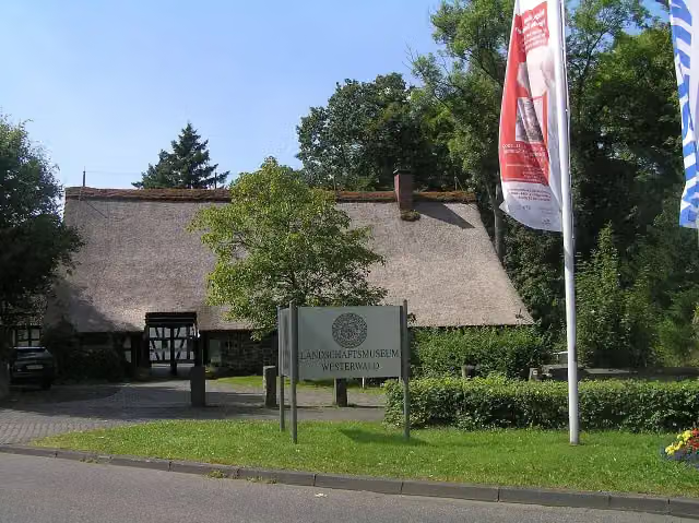
Museum · after 74.2 km
i
Photo: Martin Kraft · Wikimedia Commons · CC BY-SA 3.0View the photo on Wikimedia CommonsViewpoint · after 83.9 km
Museum · after 110.6 km
Stages (5)
- 1[I] HWW Westerwald Etappe 1 (Königswinter - Kölsch-Büllesbach)21.5 km
- 2[I] HWW Westerwald Etappe 2 (Kölsch-Büllesbach - Marienthal)29.7 km
- 3[I] HWW Westerwald Etappe 3 (Marienthal - Hachenburg)21.8 km
- 4[I] HWW Westerwald Etappe 4 (Hachenburg - Fuchskaute)28.6 km
- 5[I] HWW Westerwald Etappe 5 (Fuchskaute - Herborn)20.3 km
Elevation and terrain
- Up
- ↑ 2,258 m
- Down
- ↓ 2,087 m
- Highest point
- 651 m
- Lowest point
- 62 m
- 5-10% slope · 27.8 km
- 10-15% slope · 4.4 km
- 4 stairs
Elevation from Copernicus GLO-30 (European Union and ESA), smoothed.
produced using Copernicus WorldDEM-30 © DLR e.V. 2010-2014 and © Airbus Defence and Space GmbH 2014-2018 provided under COPERNICUS by the European Union and ESA; all rights reserved
Way types
121.9 km in total- Track: 78.4 km
- Street: 20.3 km
- Road: 10.4 km
- Path: 8.5 km
- Busy road: 1.9 km
- Footpath: 1.6 km
- Stairs: 4 stairs
Surfaces
121.9 km in total- Asphalt: 34 km
- Gravel: 32.4 km
- Unpaved: 15.8 km
- Paved: 6.6 km
- Natural: 2.6 km
- Unknown: 30.1 km
About the walking route [I] HWW Westerwald (Königswinter - Herborn)
Updated on 14 November 2026, with data from OpenStreetMap, the AHN and Copernicus.
Where do you walk?
[I] HWW Westerwald (Königswinter - Herborn) is a walking route of 121.9 km that starts in Königswinter. It does not end where it starts. Along the way you pass Dreiherrenstein (after 26.7 km), Raiffeisenturm (after 46.2 km) and ehemaliges Franziskanerkloster Marienthal (after 51.2 km).
How hard is the route?
You climb 2,258 m in total and descend 2,087 m. There are 4 flights of steps along the way. Allow ± 6:10 h per stage, without breaks. Per stage the level is hard.
What paths do you walk on?
The longest part is track (78.4 km), street (20.3 km) and road (10.4 km). Of the surface, 34 km asphalt and 32.4 km gravel. For 30.1 km the surface is not known.
Pitstops along the way
Within 100 metres of the route there are 345 benches, 2 water fountains and refill points and 13 public toilets. You can fill your bottle after 110.7 km and after 110.8 km. The longest stretch without a toilet is 64.6 km. The Outdoor Pitstop app navigates you there.
Walks nearby
6- [<1] Wanderweg 1 des KEV [Königswinter]Moderate · From A to B11.4 km
- [K] Kölner Weg [17] Rottbitze - KönigswinterHard · From A to B18.4 km
- Wanderweg 1a des KEV Etappe 2Hard · From A to B21.2 km
- Wanderweg der Deutschen Einheit (Waldbröl -- Bad Godesberg)Hard · From A to B57.6 km
- Wanderweg der Deutschen Einheit (Bad Godesberg - Aachen)Hard · From A to B146.4 km
- Rheinsteig Etappe 1 [Bonn - Königswinter]Hard · From A to B22.2 km
Sights nearby
Within 10 km of the route, best known first.
- 1
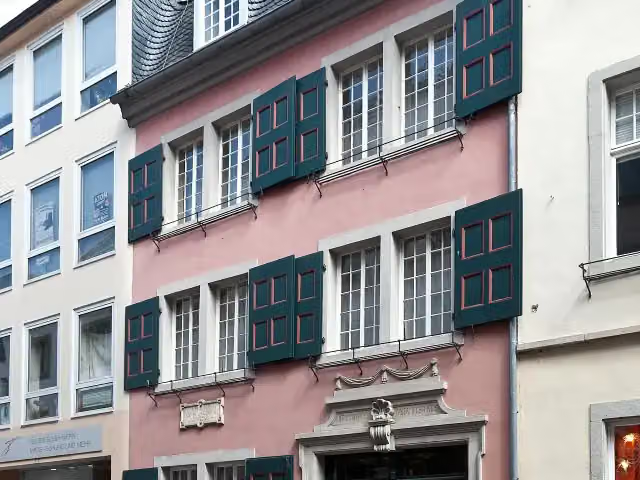 Beethoven HouseMuseum · 8.6 km from the route
- 2
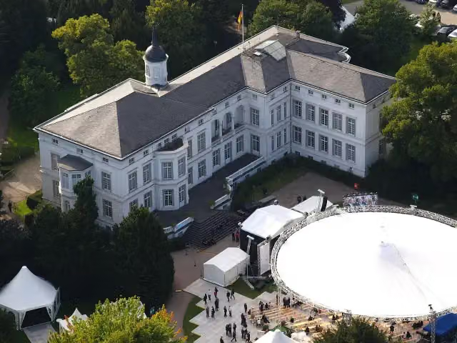 Palais SchaumburgAttraction · 6.6 km from the route
- 3
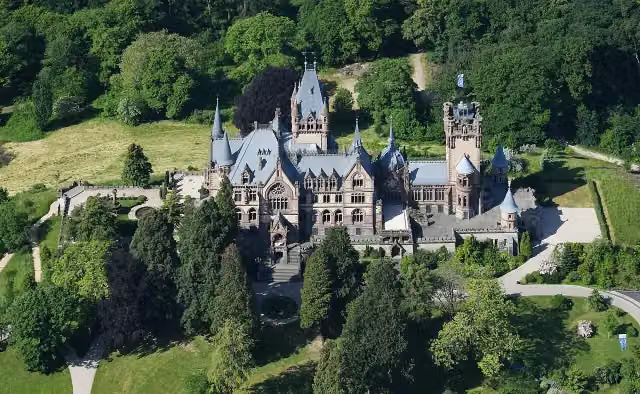 Schloß DrachenburgAttraction · 1.4 km from the route
- 4
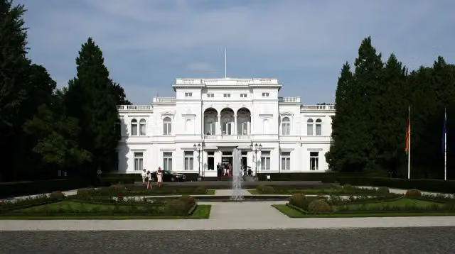 Villa HammerschmidtAttraction · 6.7 km from the route
- 5
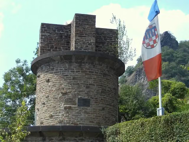 UlanendenkmalMemorial · 2.4 km from the route
- 6
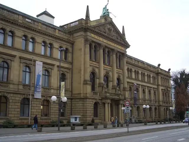 Museum Alexander KoenigMuseum · 7 km from the route
- 7
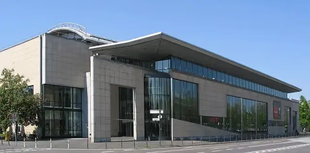 Haus der Geschichte der Bundesrepublik DeutschlandMuseum · 6.4 km from the route
- 8
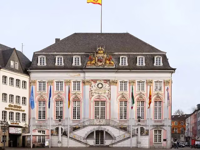 Altes RathausAttraction · 8.4 km from the route
- 9
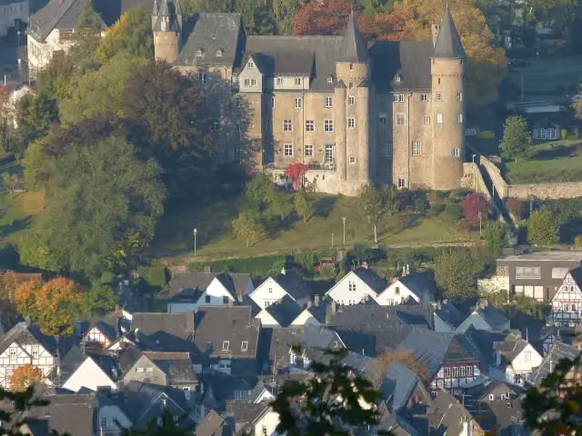 Herborn CastleCastle · 312 m from the route
- 10
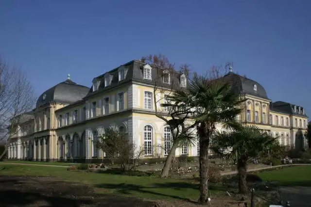 Poppelsdorf PalaceAttraction · 8.4 km from the route
- 11
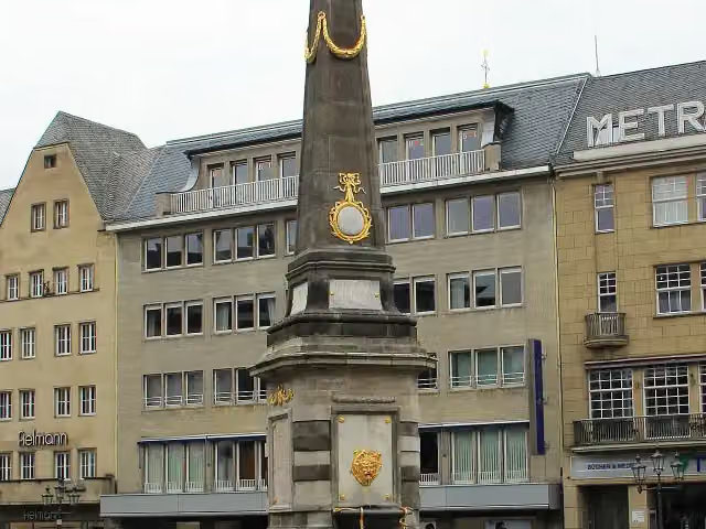 Market fountainAttraction · 8.4 km from the route
- 12
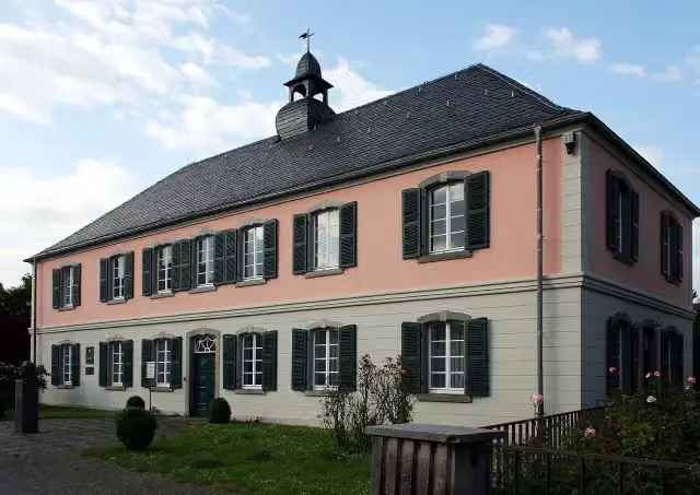 Schumannhaus und Schumann-GrabmalMuseum · 9.3 km from the route
- 13
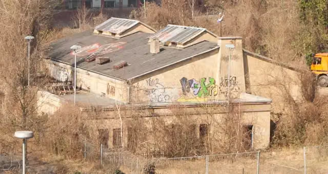 Bergstation der PetersbergbahnMemorial · 851 m from the route
- 14
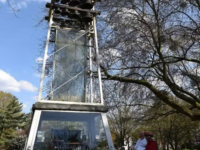 GlockenspielAttraction · 2.6 km from the route
- 15
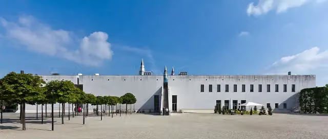 BundeskunsthalleMuseum · 6 km from the route
- 16
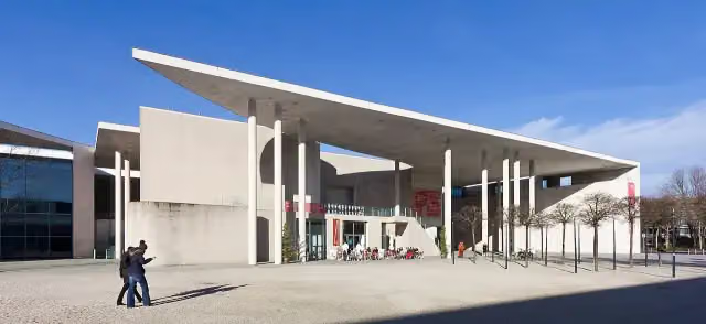 Kunstmuseum BonnMuseum · 6.1 km from the route
- 17
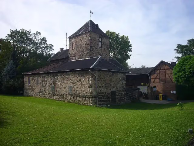 WolfsburgCastle · 8.4 km from the route
- 18
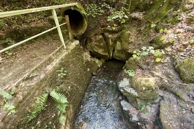 ErdbachauslaufAttraction · 98 m from the route
- 19
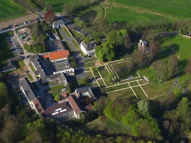 Chorruine HeisterbachAttraction · 168 m from the route
- 20
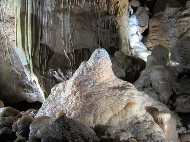 Herbstlabyrinth-Adventhöhle-SystemAttraction · 183 m from the route
- 21
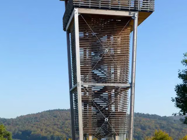 Aussichtsturm DillblickObservation tower · 279 m from the route
- 22
 AttractionAttraction · 399 m from the route
- 23
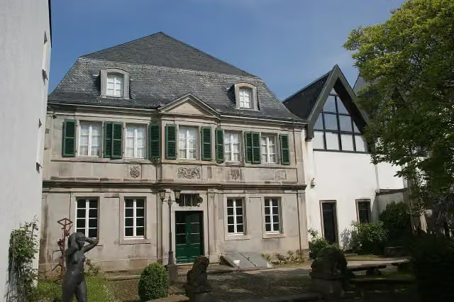 SiebengebirgsmuseumMuseum · 439 m from the route
- 24
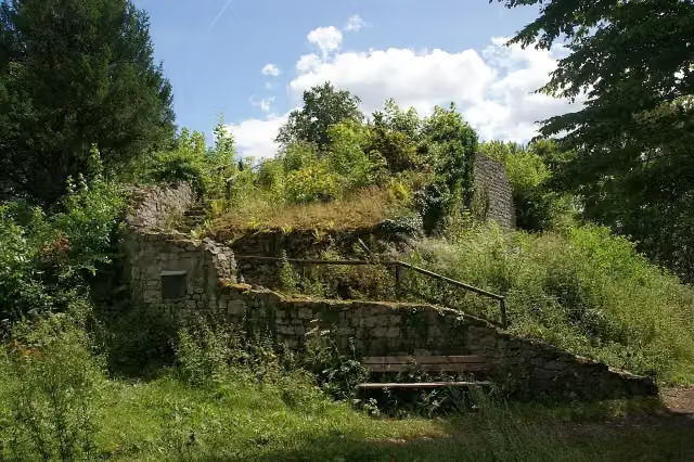 Burgruine RosenauAttraction · 451 m from the route
- 25
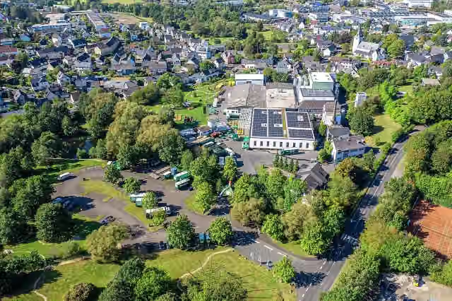 Westerwald-BrauereiAttraction · 630 m from the route
Explore more
More walks around Königswinter
Frequently asked questions
How long is [I] HWW Westerwald (Königswinter - Herborn)?
[I] HWW Westerwald (Königswinter - Herborn) is 121.9 km long, in 5 stages of 24.4 km on average. Allow ± 6:10 h per stage of walking: 4.5 km an hour and 10 minutes more per 100 metres of climbing, without breaks.
How many stages does this route have?
The route is split into 5 stages of 24.4 km on average, 121.9 km in all. The shortest stage is 20.3 km, the longest 29.7 km.
Is this route a circular walk?
No, the route starts and ends at different spots.
Where does this route start?
The route starts in Königswinter.
How hard is this route?
Hard per stage, with 452 m per stage of climbing.
Are there toilets along this route?
Yes, there are 13 public toilets within 100 m of the route. The longest stretch without a toilet is 64.6 km.
Can you fill up with water along this route?
Yes, there are 2 water fountains and refill points within 100 m of the route.
What is there to see along this route?
Along the way you pass Dreiherrenstein, Raiffeisenturm and ehemaliges Franziskanerkloster Marienthal.
Which stage of this route has the most points of interest?
Stage 2 (29.7 km), with 3 points of interest along the route, such as Dreiherrenstein, Raiffeisenturm and ehemaliges Franziskanerkloster Marienthal.
Can I download this route as a GPX file?
Yes. Sign in with your Outdoor Pitstop account and choose Download GPX at the top of this page: 10 routes a month for free, unlimited with Pro.
Starting point
More routes from this place
Route data © OpenStreetMap contributors





