 Outdoor Pitstop
Walking route · San Dorligo della Valle / Dolina · Updated on 14 November 2026
Via Alpina walk
Via Alpina is a walk of 789.1 km from San Dorligo della Valle / Dolina. Along the way you'll find 455 benches, 214 water fountains and refill points, 82 public toilets and 2 bike pumps.
i
i
The route step by step
From start to finish, with what you pass along the way and the distance in between.
- 789.1 km
- ± 3:25 h per stage
- Moderate per stage
- From A to B
- International route
Pick a stage to see the pitstops per kilometre. Along the way you'll find 455 benches, 214 water fountains and refill points, 82 public toilets and 2 bike pumps.
Follow these steps in the appThe route with the water points, toilets and sights within 100 m of it.
21 sights along the way
In the order you pass them. With the Outdoor Pitstop app you hear their story on the spot. 13 more along the route are on the map.

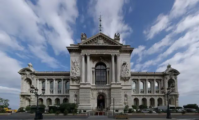
Museum
i
Photo: Llorenzi · Wikimedia Commons · CC BY-SA 3.0View the photo on Wikimedia CommonsFort
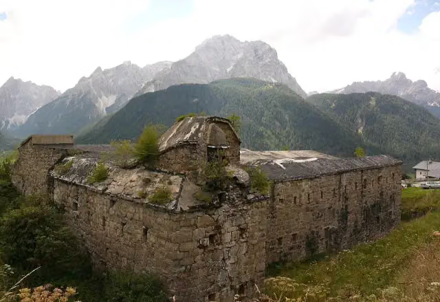
Ruins
i
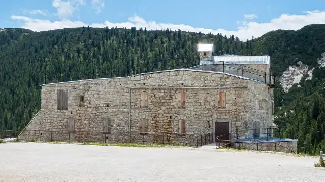
Photo: 2015 Michael 2015 · Wikimedia Commons · CC BY-SA 4.0View the photo on Wikimedia CommonsFort
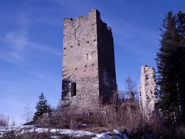
i
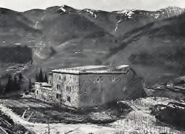
Photo: This Photo was taken by Luca Lorenzi. Feel free to use my photos, but please mention me as the author and send me a message. · Wikimedia Commons · CC BY-SA 3.0View the photo on Wikimedia CommonsCastle
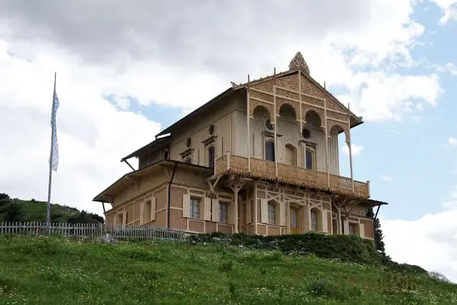 Audio story · 2 min
i
Photo: Bjs · Wikimedia Commons · CC BY-SA 3.0View the photo on Wikimedia CommonsKönigshaus am Schachen
Castle
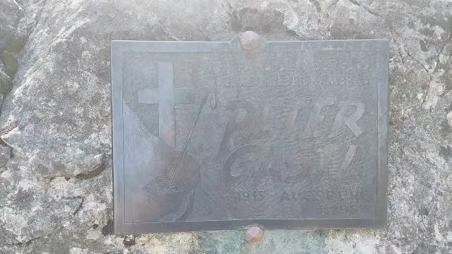
Memorial
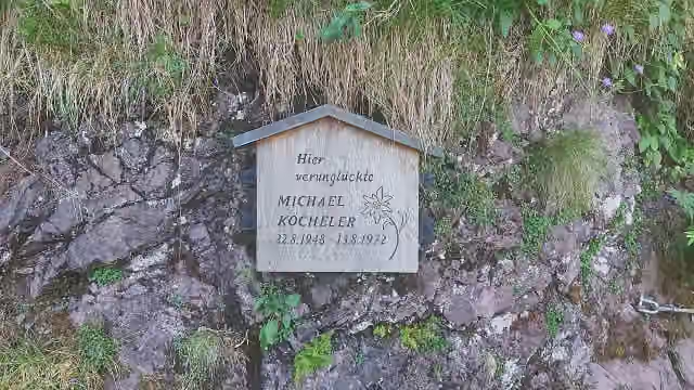
Memorial
Stages (51)
- 1Via Alpina Stage 1: Muggia - Refugio Premuda15.9 km
- 2Via Alpina Stage 22: Wolayerseehütte - Hochweißsteinhaus14.2 km
- 3Via Alpina Red R2317.5 km
- 4Via Alpina18.4 km
- 5Via Alpina Red R2714.1 km
- 6Via Alpina Red R2813.4 km
- 7Via Alpina Red R2931.3 km
- 8Via Alpina Red R3016.3 km
- 9Via Alpina Red R317.2 km
- 10Via Alpina Red R3219.3 km
- 11Via Alpina Red R3326 km
- 12Via Alpina Red R3414.4 km
- 13Via Alpina Red R3515.6 km
- 14Via Alpina Red R4511.5 km
- 15Via Alpina Red R466.7 km
- 16Via Alpina Red R5017.7 km
- 17Via Alpina Red R5119.7 km
- 18Via Alpina Stage 52: Mindelheimer Hütte - Schröcken4.8 km
- 19Via Alpina Red R11820.5 km
- 20Via Alpina Red R11918.4 km
- 21Via Alpina Red R12012.3 km
- 22Via Alpina Red R12115.4 km
- 23Via Alpina Red R12211.7 km
- 24Via Alpina Red R12320.5 km
- 25Via Alpina Red R12419.8 km
- 26Via Alpina Red R12520.7 km
- 27Via Alpina Red R12610.3 km
- 28Via Alpina Red R12716.6 km
- 29Via Alpina Red R12819.8 km
- 30Via Alpina Red R12922.2 km
- 31Via Alpina Red R13021.8 km
- 32Via Alpina Red R13117.7 km
- 33Via Alpina Red R13217.6 km
- 34Via Alpina Red R13314.1 km
- 35Via Alpina Red R13414.4 km
- 36Via Alpina Red R13512 km
- 37Via Alpina Red R13615.7 km
- 38Via Alpina Red R13720.1 km
- 39Via Alpina Red R13814.1 km
- 40Via Alpina Red R1398.8 km
- 41Via Alpina Red R14013.8 km
- 42Via Alpina Red R1418.6 km
- 43Via Alpina Red R14215.7 km
- 44Via Alpina Red R14314.3 km
- 45Via Alpina Red R1446.7 km
- 46Via Alpina Red R1455.8 km
- 47Via Alpina Stage 112 Refuge de Nice ou Victor de Cessole - Refuge Merveilles9.3 km
- 48Via Alpina Stage 113: Refuge des Merveilles - Camp d’Argent13.2 km
- 49Via Alpina Stage 114: Camp d'Argent - Sospel21.5 km
- 50Via Alpina Red R16019.4 km
- 51Via Alpina Red R16112.5 km
About the walking route Via Alpina
Updated on 14 November 2026, with data from OpenStreetMap, the AHN and Copernicus.
Where do you walk?
Via Alpina is a walking route of 789.1 km that starts in San Dorligo della Valle / Dolina. It does not end where it starts.
How hard is the route?
Allow ± 3:25 h per stage, without breaks. Per stage the level is moderate.
Pitstops along the way
Within 100 metres of the route there are 455 benches, 214 water fountains and refill points, 82 public toilets and 2 bike pumps. The Outdoor Pitstop app navigates you there.
Walks nearby
6- AV Weg 801Hard · From A to B25.4 km
- Nordalpenweg 01Hard · From A to B31.5 km
- [E4] Europäischer Fernwanderweg [004]Hard · From A to B25.4 km
- Via Romea - Deutschland - BayernHard · From A to B519.3 km
- Jakobsweg Isar - Loisach - Leutascher Ache - InnHard · From A to B89 km
- Via Alpina Purple A59Hard · From A to B15.6 km
Sights nearby
Within 10 km of the route, best known first.
- 1
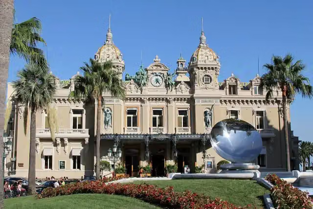 Monte-Carlo Casino and Opera HouseAttraction · 738 m from the route
- 2
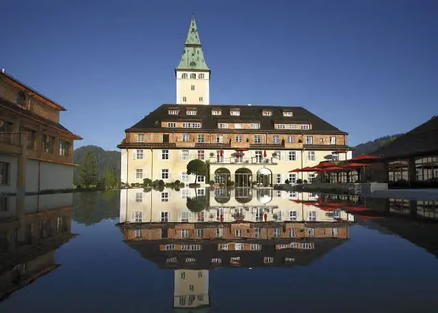 Schloss ElmauCastle · 7 km from the route
- 3
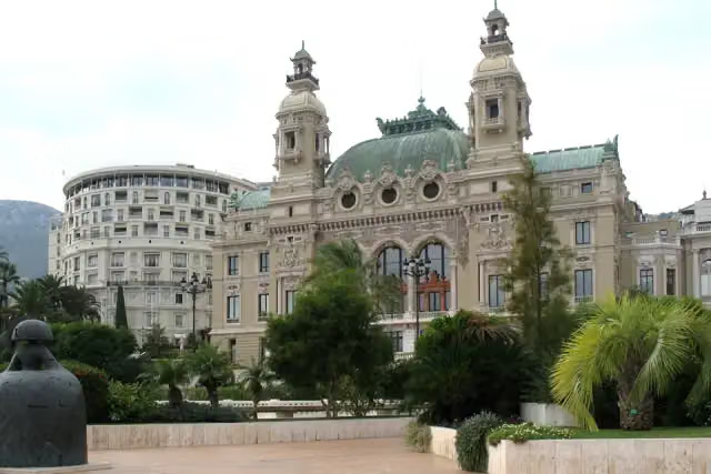 Opéra de MonacoAttraction · 719 m from the route
- 4
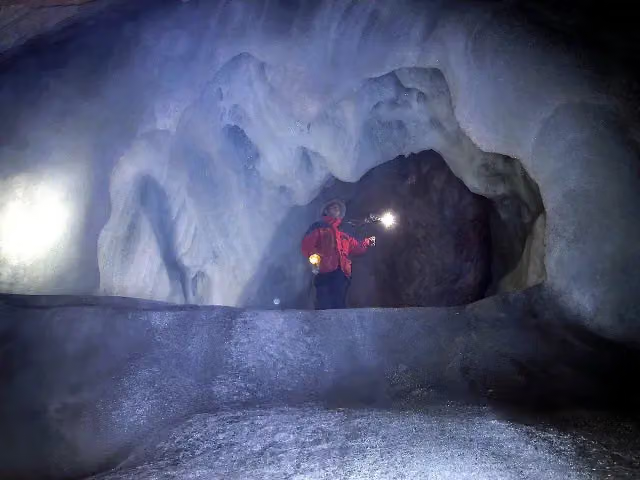 SpannagelhöhleAttraction · 9.5 km from the route
- 5
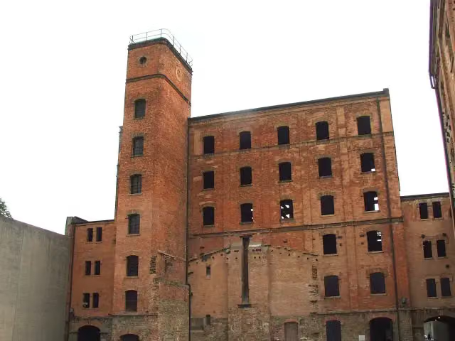 Risiera di San Sabba / Rižarna pri Sveti SobotiAttraction · 2.5 km from the route
- 6
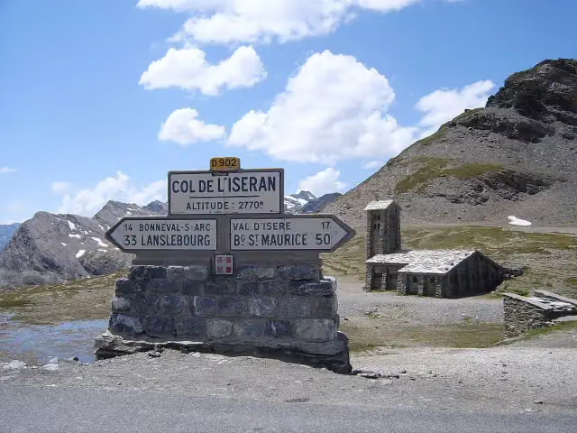 Col de l'IseranViewpoint · 8.9 km from the route
- 7
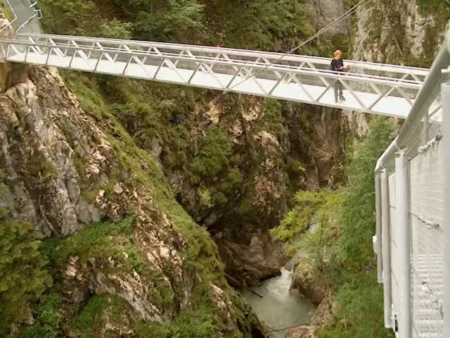 LeutaschklammAttraction · 8.8 km from the route
- 8
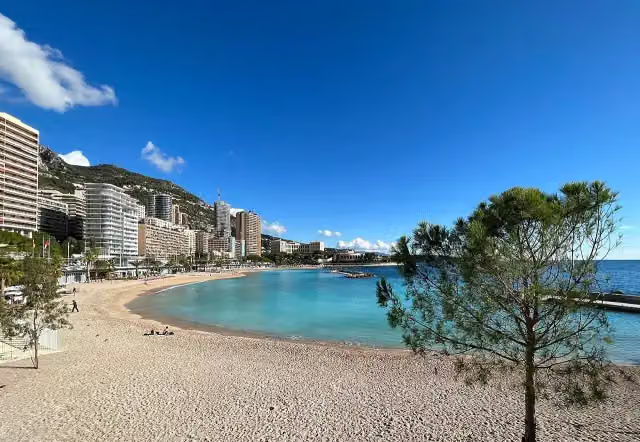 Larvotto BeachAttraction · 1.6 km from the route
- 9
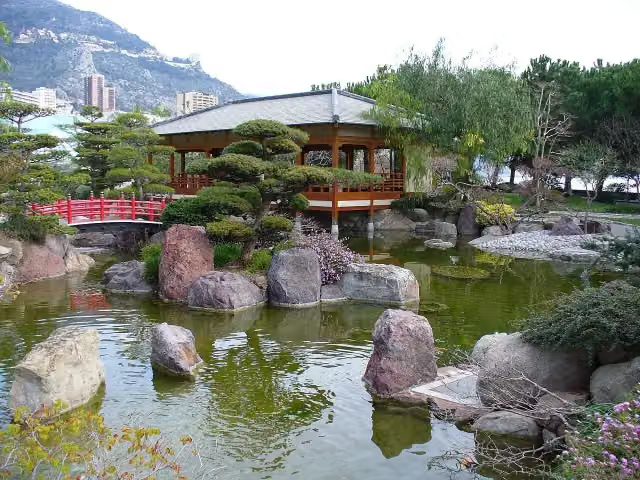 Japanese GardenAttraction · 1.1 km from the route
- 10
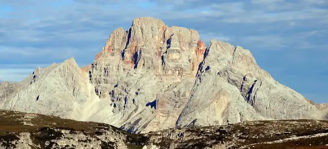 Crep Checio - Hohe Gaisl - Croda Rossa d'AmpezzoViewpoint · 1.6 km from the route
- 11
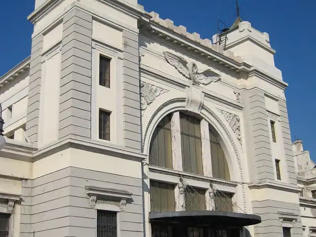 Museo ferroviario (closed)Museum · 4.7 km from the route
- 12
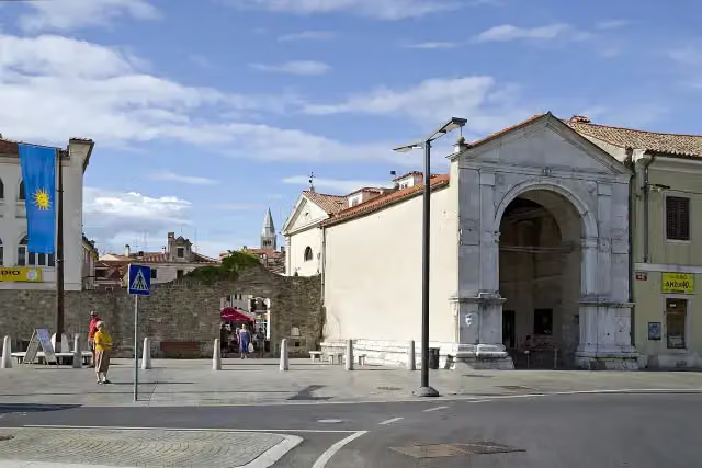 Vrata Muda / Porta della MudaAttraction · 6.1 km from the route
- 13
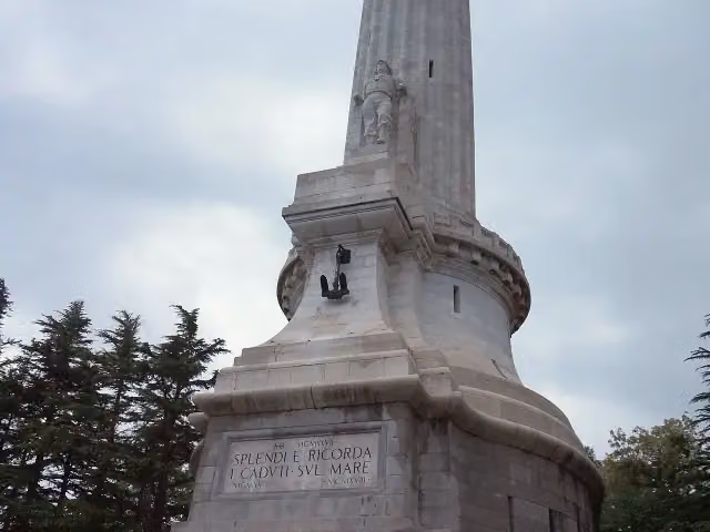 Victory LighthouseAttraction · 8 km from the route
- 14
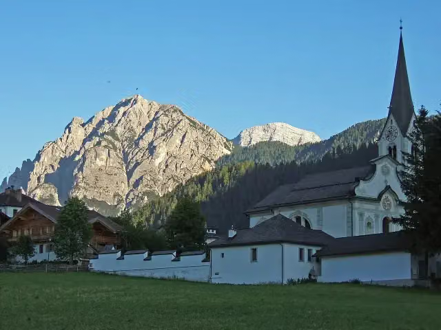 Piz de ParesViewpoint · 8.6 km from the route
- 15
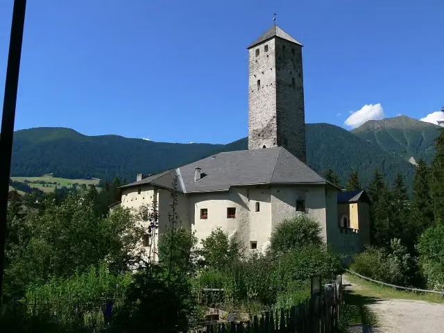 Schloss Welsperg - Castel WelspergCastle · 69 m from the route
- 16
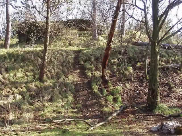 Castello di Moccò / Muhov gradRuins · 338 m from the route
- 17
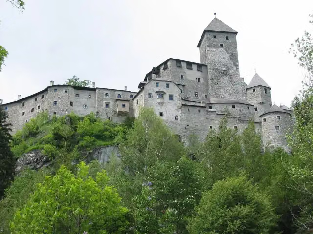 Burg Taufers - Castello di TuresAttraction · 456 m from the route
- 18
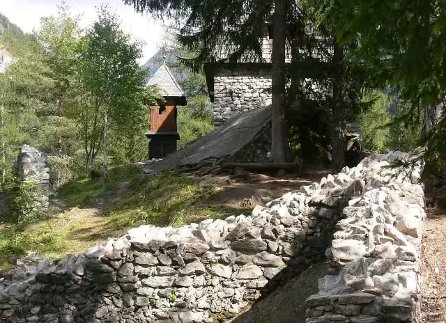 Toblruine - Rovine di Castel ToblCastle · 1.2 km from the route
- 19
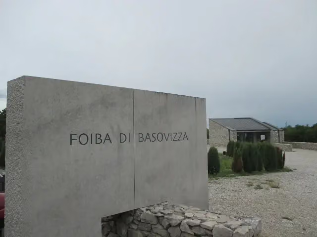 Foiba di Basovizza / ŠohtMemorial · 1.7 km from the route
- 20
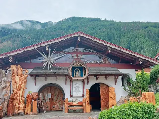 Maranatha Nativity MuseumMuseum · 2.6 km from the route
- 21
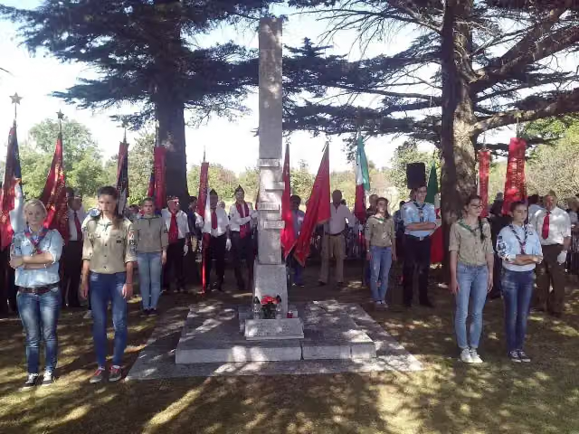 Spomenik Bazoviških junakov / Monumento agli eroi di BasovizzaMonument · 2.6 km from the route
- 22
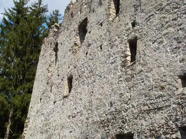 Burg AltrasenRuins · 4.3 km from the route
- 23
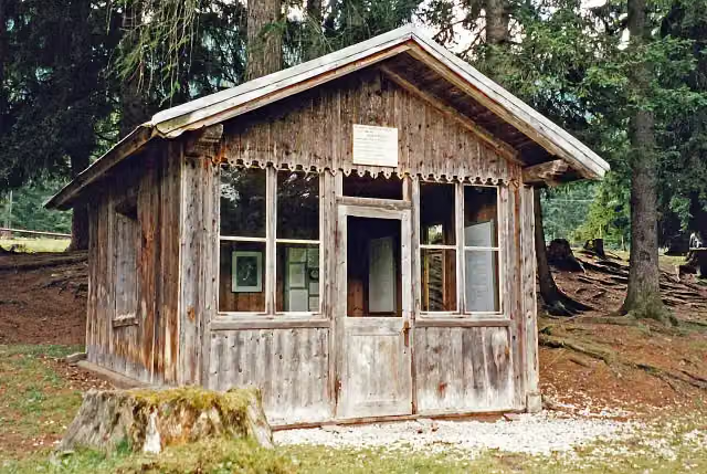 Gustav Mahler Composing hutMuseum · 4.6 km from the route
- 24
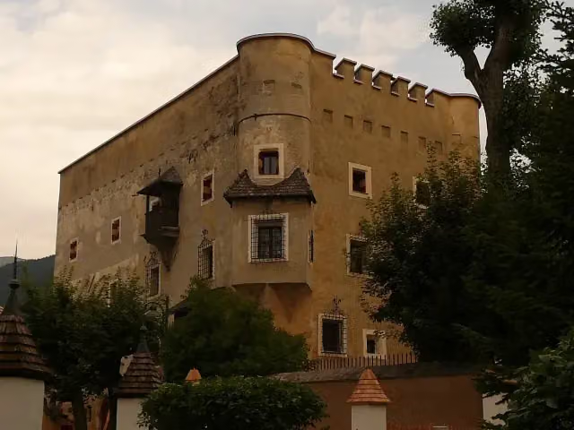 HerbstenburgCastle · 4.6 km from the route
- 25
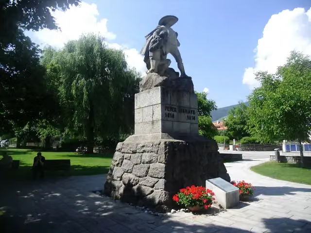 Peter Sigmayr Denkmal - Monumento a Peter SigmayrMemorial · 5.7 km from the route
Explore more
More walks around San Dorligo della Valle / Dolina
Frequently asked questions
How long is Via Alpina?
Via Alpina is 789.1 km long, in 51 parts of 15.5 km on average. Allow ± 3:25 h per part of walking: 4.5 km an hour and 10 minutes more per 100 metres of climbing, without breaks.
Is this route a circular walk?
No, the route starts and ends at different spots.
Where does this route start?
The route starts in San Dorligo della Valle / Dolina.
How hard is this route?
Moderate per stage.
Are there toilets along this route?
Yes, there are 82 public toilets within 100 m of the route.
Can you fill up with water along this route?
Yes, there are 214 water fountains and refill points within 100 m of the route.
What is there to see along this route?
Along the way you pass Museo Ugo Carà, Festung Werk Mitterberg - Forte Mitterberg and Werk Haideck - Forte Haideck.
Can I download this route as a GPX file?
Yes. Sign in with your Outdoor Pitstop account and choose Download GPX at the top of this page: 10 routes a month for free, unlimited with Pro.
Starting point
More routes from this place
Route data © OpenStreetMap contributors





