 Outdoor Pitstop
Walking route · Schäftlarn · Updated on 14 November 2026
Jakobsweg Isar - Loisach - Leutascher Ache - Inn walk
Jakobsweg Isar - Loisach - Leutascher Ache - Inn is a walk of 89 km from Schäftlarn. Along the way you'll find 306 benches, 2 water fountains and refill points, 19 public toilets, 4 bike pumps and 1 honesty box.
i
i
i
The route step by step
From start to finish, with what you pass along the way and the distance in between.
- 89 km
- ± 21:05 h
- ↑ 808 m · ↓ 340 m
- Hard
- From A to B
- National route
Start in Schäftlarn
0 kmAt the start: public toilet.
929 m · 9 benches
Public toilet
929 m271 m
Public toilet
1.2 km8 km · 9 benches

Marienbrücke
9.2 kmRuins
33.7 km · 70 benches
Honesty box
43 km7.9 km · 26 benches
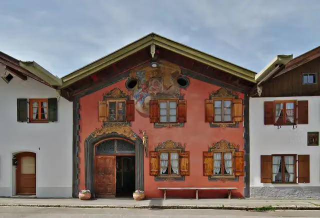
Museum im Schusterhaus
50.9 kmMuseum
1.7 km · 26 benches
Public toilet
52.6 km1.3 km · 14 benches
2 public toilets
53.9 km2 km · bench
Public toilet
55.9 km680 m
2 public toilets
56.6 km265 m
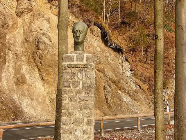
Goethe-Denkmal
56.9 kmMemorial
3.7 km · 9 benches
Public toilet and bike pump
60.6 km1.1 km · 13 benches
Public toilet and bike pump
61.7 km616 m · 7 benches
Public toilet
62.4 km4.3 km · 20 benches
Public toilet and bike pump
66.7 km7.1 km · 15 benches
Water point
73.8 km172 m · bench
Public toilet and bike pump
74 km538 m · 2 benches
Public toilet
74.5 km2.1 km · 9 benches
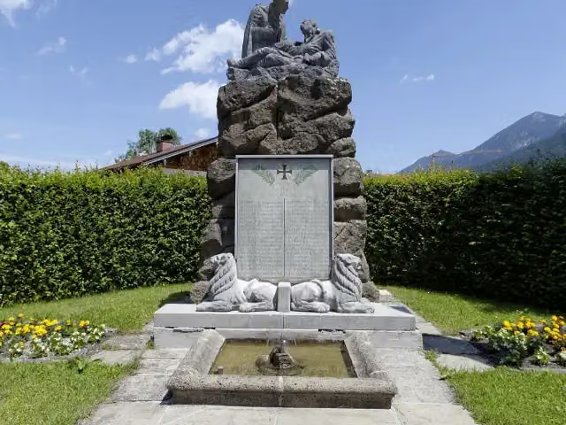
Kriegerdenkmal
76.7 kmWater point
8.9 km · 43 benches
Geigenbau-Museum and 1 more
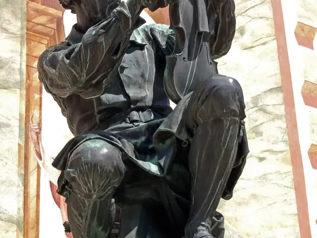
85.6 kmMatthias-Klotz-Denkmal
359 m · 9 benches
2 public toilets
86 km1.4 km · 20 benches
2 public toilets
87.4 km1.1 km · 3 benches
Leutaschklamm
88.5 kmAttraction
444 m
Finish
89 km
Longest stretch without a toilet: 51.4 kmBetween 1.2 km and 52.6 km there is no public toilet within 100 m of the route.
The route with the pitstops and sights within 100 m of it.
7 sights along the way
In the order you pass them. With the Outdoor Pitstop app you hear their story on the spot.

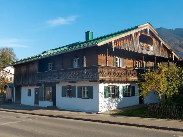
Ruins · after 9.2 km
i
Photo: Stefan Karl · Wikimedia Commons · CC BY-SA 4.0View the photo on Wikimedia CommonsMuseum · after 50.9 km
i
Photo: Gliwi · Wikimedia Commons · CC BY-SA 3.0View the photo on Wikimedia CommonsMemorial · after 56.9 km
i
Photo: Pelz · Wikimedia Commons · CC BY-SA 3.0View the photo on Wikimedia CommonsMemorial · after 76.7 km
i
Photo: Ursula Jaeger · Wikimedia Commons · CC BY-SA 4.0View the photo on Wikimedia CommonsMuseum · after 85.6 km
i
Photo: Pixelteufel · Wikimedia Commons · CC BY 2.0View the photo on Wikimedia CommonsMemorial · after 85.6 km
Leutaschklamm
Attraction · after 88.5 km
Elevation and terrain
- Up
- ↑ 808 m
- Down
- ↓ 340 m
- Highest point
- 1,029 m
- Lowest point
- 557 m
- 5-10% slope · 4 km
- 10-15% slope · 1.8 km
- 7 stairs
Elevation from Copernicus GLO-30 (European Union and ESA), smoothed.
produced using Copernicus WorldDEM-30 © DLR e.V. 2010-2014 and © Airbus Defence and Space GmbH 2014-2018 provided under COPERNICUS by the European Union and ESA; all rights reserved
Way types
89 km in total- Track: 27.4 km
- Road: 21.7 km
- Street: 10.5 km
- Cycleway: 10.3 km
- Busy road: 7.9 km
- Path: 7.6 km
- Footpath: 2.1 km
- Stairs: 7 stairs
- Unknown: 875 m
Surfaces
89 km in total- Asphalt: 56.2 km
- Gravel: 23 km
- Paved: 1.5 km
- Unpaved: 1.4 km
- Natural: 125 m
- Unknown: 6.4 km
About the walking route Jakobsweg Isar - Loisach - Leutascher Ache - Inn
Updated on 14 November 2026, with data from OpenStreetMap, the AHN and Copernicus.
Where do you walk?
Jakobsweg Isar - Loisach - Leutascher Ache - Inn is a walking route of 89 km that starts in Schäftlarn. It does not end where it starts. You start in Kloster Schäftlarn and finish in Mötz. Along the way you pass Marienbrücke (after 9.2 km), Museum im Schusterhaus (after 50.9 km) and Goethe-Denkmal (after 56.9 km).
How hard is the route?
You climb 808 m in total and descend 340 m. There are 7 flights of steps along the way. Allow ± 21:05 h, without breaks. The level is hard.
What paths do you walk on?
The longest part is track (27.4 km), road (21.7 km) and street (10.5 km). Of the surface, 56.2 km asphalt and 23 km gravel. For 6.4 km the surface is not known.
Pitstops along the way
Within 100 metres of the route there are 306 benches, 2 water fountains and refill points, 19 public toilets, 4 bike pumps and 1 honesty box. You can fill your bottle after 73.8 km and after 76.7 km. The longest stretch without a toilet is 51.4 km. The Outdoor Pitstop app navigates you there.
Walks nearby
5Sights nearby
Within 10 km of the route, best known first.
- 1
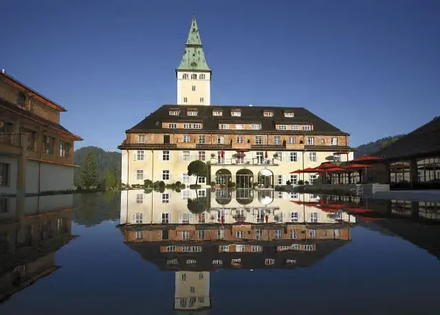 Schloss ElmauCastle · 5.5 km from the route
- 2
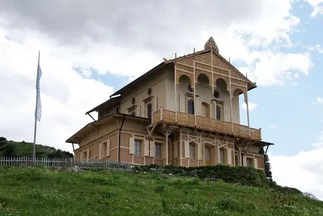 Königshaus am SchachenCastle · 9.7 km from the route
- 3
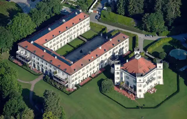 Schloss PossenhofenCastle · 9.8 km from the route
- 4
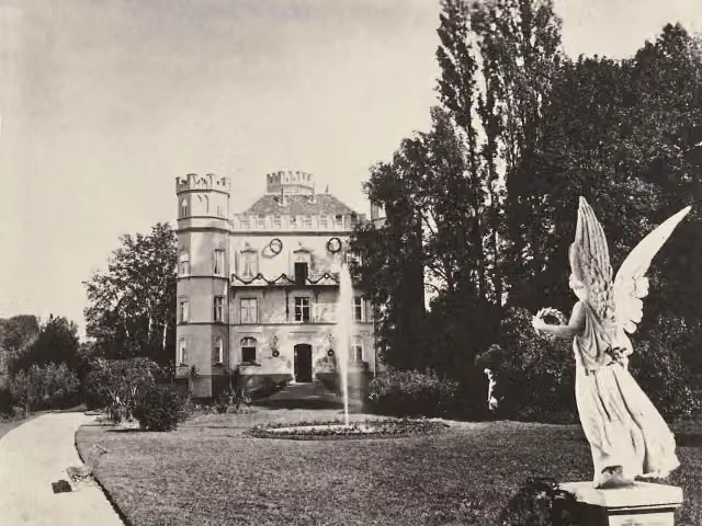 Berg CastleCastle · 7.4 km from the route
- 5
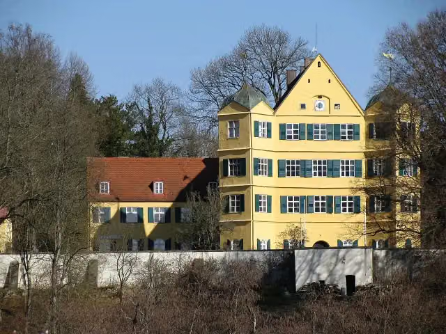 Schloss LeutstettenCastle · 9.1 km from the route
- 6
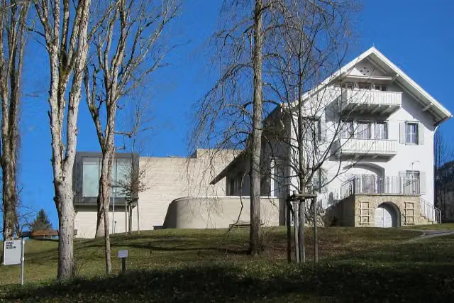 Franz Marc MuseumMuseum · 98 m from the route
- 7
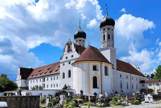 Basilika Sankt BenediktAttraction · 209 m from the route
- 8
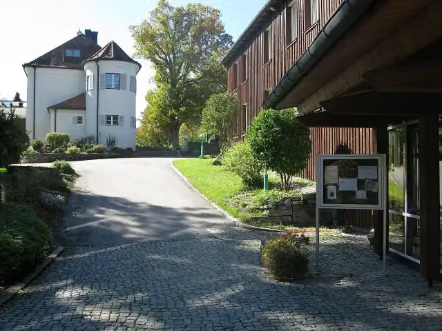 Schloss AspensteinCastle · 470 m from the route
- 9
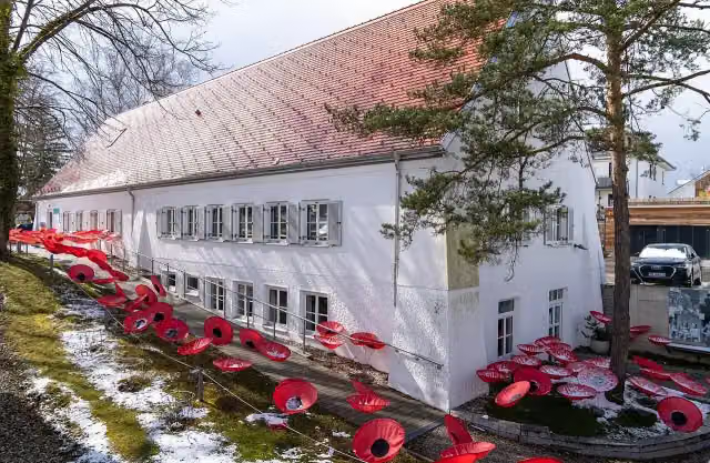 Erinnerungsort BadehausMuseum · 562 m from the route
- 10
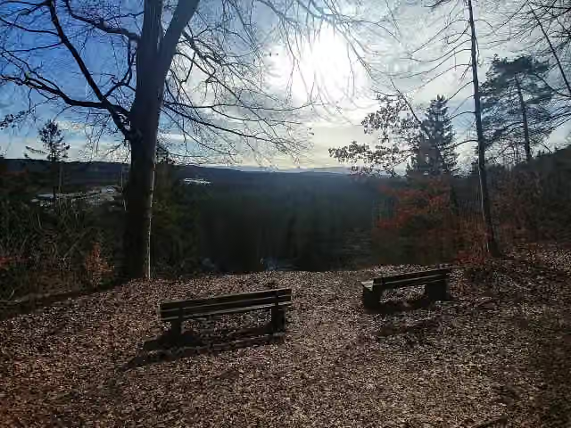 Riemerschmid GedenksteinViewpoint · 818 m from the route
- 11
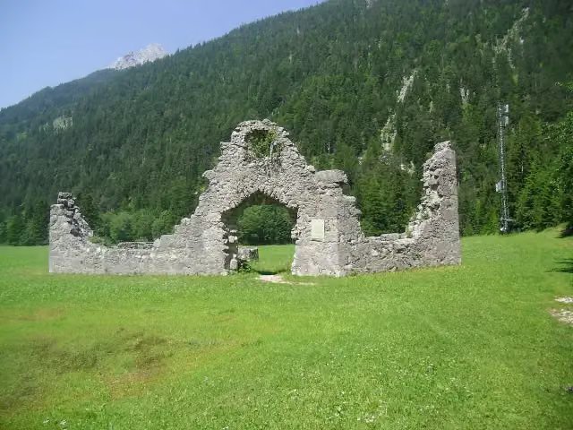 Porta ClaudiaRuins · 871 m from the route
- 12
 BirgArchaeological site · 1.9 km from the route
- 13
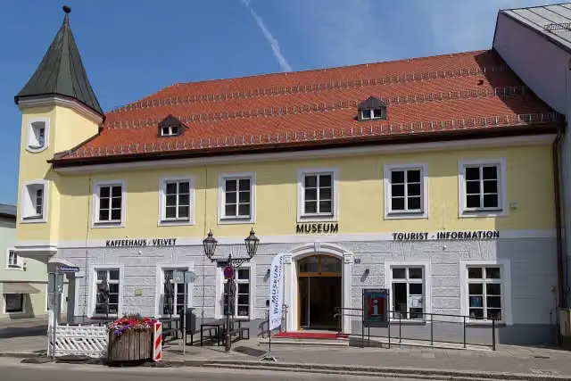 Museum WolfratshausenMuseum · 1.9 km from the route
- 14
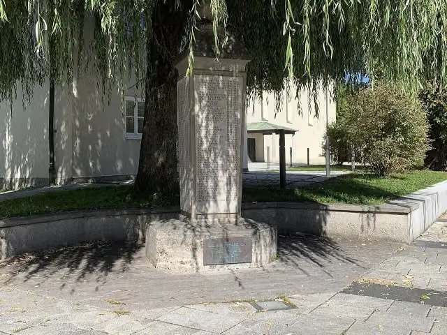 MemorialMemorial · 2.3 km from the route
- 15
 Bergwerksmuseum PenzbergMuseum · 2.5 km from the route
- 16
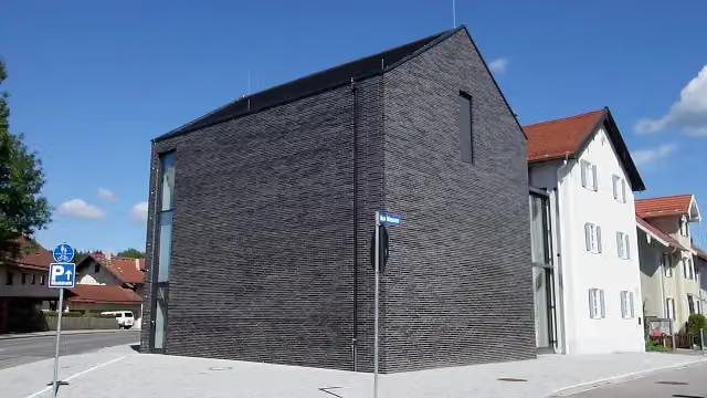 Museum Penzberg — Sammlung CampendonkMuseum · 2.6 km from the route
- 17
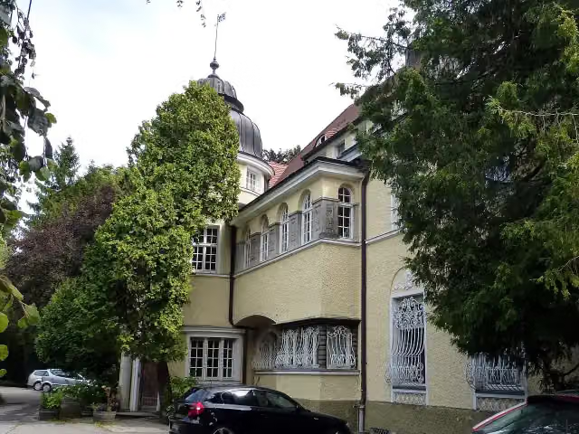 Schloss MörlbachCastle · 3.5 km from the route
- 18
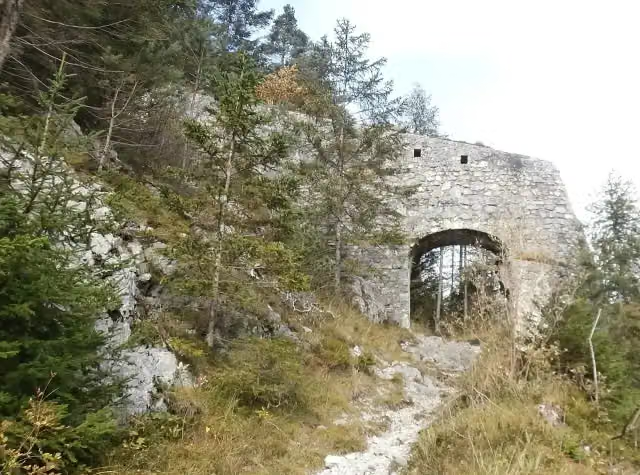 Porta Claudia StallungenRuins · 3.6 km from the route
- 19
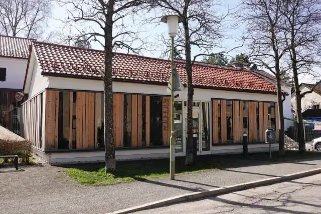 Museum der Stadt GeretsriedMuseum · 3.6 km from the route
- 20
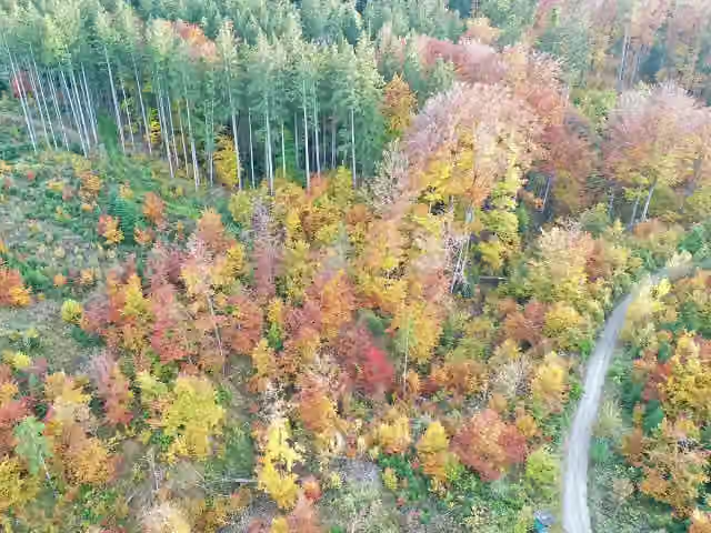 Burgstall SchallenkamArchaeological site · 3.7 km from the route
- 21
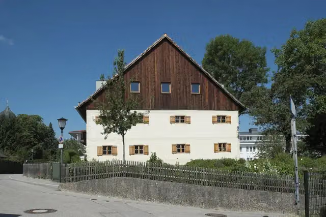 Beim JägerMuseum · 4.8 km from the route
- 22
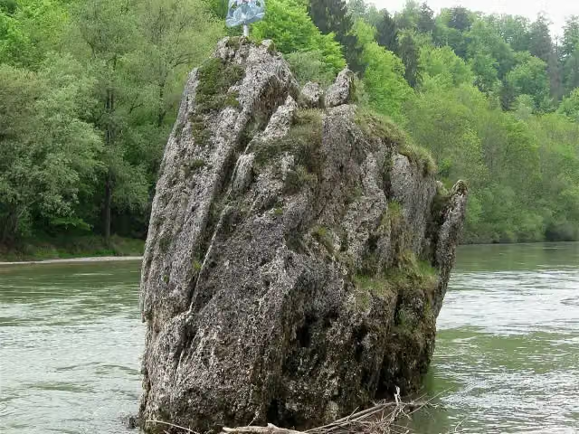 GeorgensteinAttraction · 5.4 km from the route
- 23
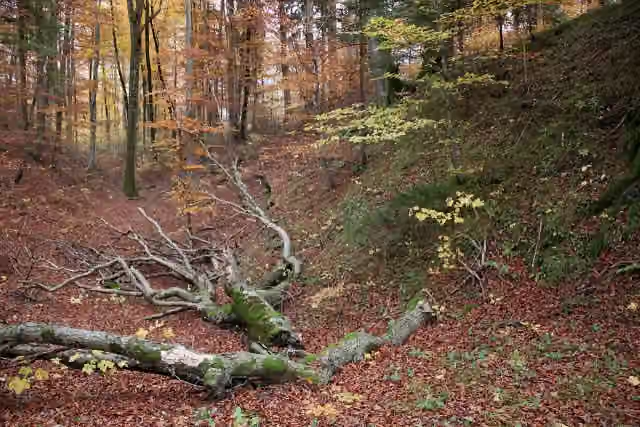 Römerschanze GrünwaldArchaeological site · 5.5 km from the route
- 24
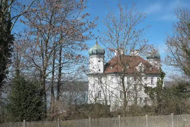 Schloss AmmerlandCastle · 6.1 km from the route
- 25
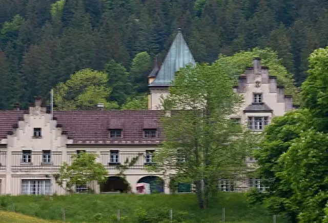 Schloss WengwiesCastle · 6.6 km from the route
Explore more
More walks around Schäftlarn
More nearby
Frequently asked questions
How long is Jakobsweg Isar - Loisach - Leutascher Ache - Inn?
Jakobsweg Isar - Loisach - Leutascher Ache - Inn is 89 km long. Allow ± 21:05 h of walking: 4.5 km an hour and 10 minutes more per 100 metres of climbing, without breaks.
Is this route a circular walk?
No, the route runs from Kloster Schäftlarn to Mötz.
Where does this route start?
The route starts in Schäftlarn.
How hard is this route?
Hard, with 808 m of climbing.
Are there toilets along this route?
Yes, there are 19 public toilets within 100 m of the route. The longest stretch without a toilet is 51.4 km.
Can you fill up with water along this route?
Yes, there are 2 water fountains and refill points within 100 m of the route.
What is there to see along this route?
Along the way you pass Marienbrücke, Museum im Schusterhaus and Goethe-Denkmal.
Can I download this route as a GPX file?
Yes. Sign in with your Outdoor Pitstop account and choose Download GPX at the top of this page: 10 routes a month for free, unlimited with Pro.
Starting point
More routes from this place
Route data © OpenStreetMap contributors





