 Outdoor Pitstop
Walking route · Kaub · Updated on 14 November 2026
Hessenweg 7 walk
Hessenweg 7 is a walk of 209.7 km from Kaub. Along the way you'll find 837 benches, 6 water fountains and refill points, 38 public toilets and 6 bike pumps.
i
The route step by step
From start to finish, with what you pass along the way and the distance in between.
- 209.7 km
- ± 17:30 h per stage
- ↑ 3,554 m · ↓ 3,625 m
- Hard per stage
- From A to B
- National route
Start in Kaub
0 km718 m · 3 benches

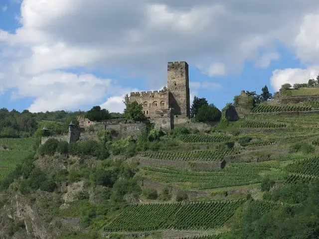
Burg Gutenfels
718 mCastle
1.3 km · 17 benches
Public toilet
2 km5.8 km · 12 benches
Water point
7.8 km3.2 km · 7 benches
Public toilet
11 km425 m · 2 benches
2 public toilets
11.4 km19.6 km · 39 benches
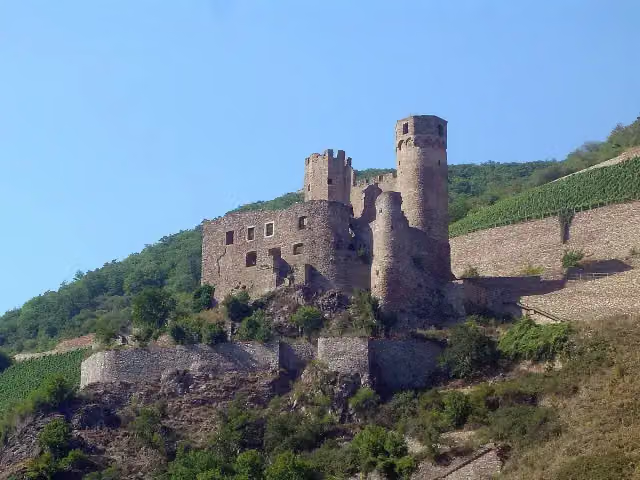
Ehrenfels
31 kmCastle
1.5 km · 10 benches
Binger Blick
32.6 kmViewpoint
227 m · 9 benches
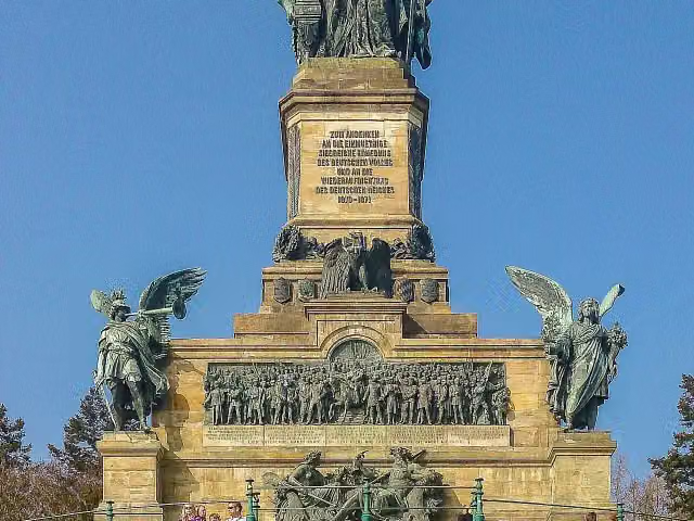
Niederwalddenkmal
32.8 kmAttraction
212 m · 23 benches
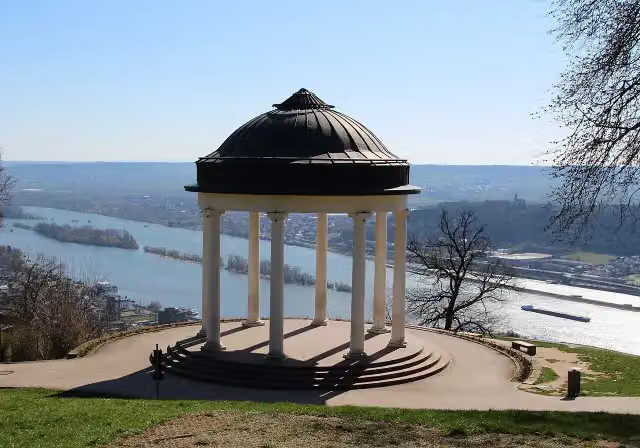
Temple
33 kmPublic toilet
2.5 km · 14 benches
Eibingen Abbey
35.5 km2 public toilets
3.7 km · 12 benches
Public toilet and water point
39.2 km3.4 km · 10 benches
Schloss Johannisberg
42.6 km2 public toilets
2.4 km · 14 benches
Schloss Vollrads
44.9 kmPublic toilet
8.4 km · 22 benches
Klosterkirche
53.3 kmAttraction
289 m · 4 benches
Public toilet
53.6 km153 m · bench
Public toilet and bike pump
53.8 km3.5 km · 11 benches
Public toilet and water point
57.2 km362 m · 4 benches
Bike pump
57.6 km9.2 km · 32 benches
Public toilet
66.8 km4.1 km · 2 benches
Rheingaupalais and 1 more
70.9 kmKettenbornpalais
227 m · 8 benches
Public toilet
71.2 km281 m · 32 benches
Public toilet
71.4 km2.9 km · 19 benches
Public toilet
74.3 km1.2 km · 16 benches
Biebrich Palace
75.5 kmWater point
335 m · 29 benches
2 public toilets
75.8 km4.5 km · 51 benches
Public toilet
80.3 km271 m · bench
Public toilet
80.6 km360 m · 8 benches
Reduit and 1 more
81 kmMuseum Castellum and public toilet
748 m · 13 benches
2 public toilets
81.7 km
Show the other 28 steps
268 m · 3 benches
Public toilet
82 km1.1 km · 24 benches
Public toilet
83 km1.3 km · 29 benches
Bike pump
84.4 km257 m · 5 benches
Schwedische Festung Gustavsburg
84.6 kmCastle
182 m · bench
Public toilet and bike pump
84.8 km5.4 km · 22 benches
Bike pump
90.2 km11.8 km · bench
Gedenkstein für die Kornsand-Opfer
102 kmMemorial
1.1 km · bench
Zeppelindenkmal
103.1 kmMemorial
10.9 km · 8 benches
Schwedensäule
114.1 kmMemorial
5.2 km · 15 benches
Public toilet
119.2 km19.7 km · 30 benches
Pfungstädter Galgen
138.9 kmAttraction
2 km · 19 benches
Deutsches Elfenbeinmuseum and 1 more
140.9 kmErbacher Schloss and water point
1.6 km · 24 benches
Public toilet
142.6 km11.3 km · 32 benches
Bike pump
153.8 km6.4 km · 15 benches
Burgstall Altes Köpfchen
160.2 kmArchaeological site
203 m
Public toilet
160.4 km294 m · 2 benches
Bürgerturm and 1 more
160.7 kmLindenfelser Museum (Heimatmuseum) and public toilet
14.2 km · 39 benches
Menhir von Bensheim
174.9 kmArchaeological site
913 m · 3 benches
Roter Turm
175.8 kmPublic toilet
869 m · 18 benches
Public toilet
176.6 km3.2 km · 41 benches
Public toilet
179.9 km2.4 km · 9 benches
Schloss Auerbach
182.3 kmPublic toilet
5.8 km · 7 benches
Alsbacher Schloss Burgturm
188.1 kmPublic toilet
4.2 km · 8 benches
Burg Jossa
192.3 kmCastle
2.9 km · 13 benches
Klosterruine Heiligenberg
195.1 kmRuins
2.5 km · 5 benches
Tannenberg
197.7 kmAttraction
6.1 km · 12 benches
Burg Frankenstein
203.8 kmPublic toilet
5.9 km · 26 benches
Finish
209.7 kmAt the finish: water point.
Longest stretch without a toilet: 34.4 kmBetween 84.8 km and 119.2 km there is no public toilet within 100 m of the route.
The route with the water points, toilets and sights within 100 m of it.
32 sights along the way
In the order you pass them. With the Outdoor Pitstop app you hear their story on the spot. 24 more along the route are on the map.
i
Photo: Jörg Braukmann · Wikimedia Commons · CC BY-SA 4.0View the photo on Wikimedia CommonsCastle · after 718 m
Castle · after 31 km

Viewpoint · after 32.6 km
- Story
Niederwalddenkmal
Attraction · after 32.8 km
i
Photo: Marion Halft · Wikimedia Commons · CC BY-SA 4.0View the photo on Wikimedia CommonsAttraction · after 33 km
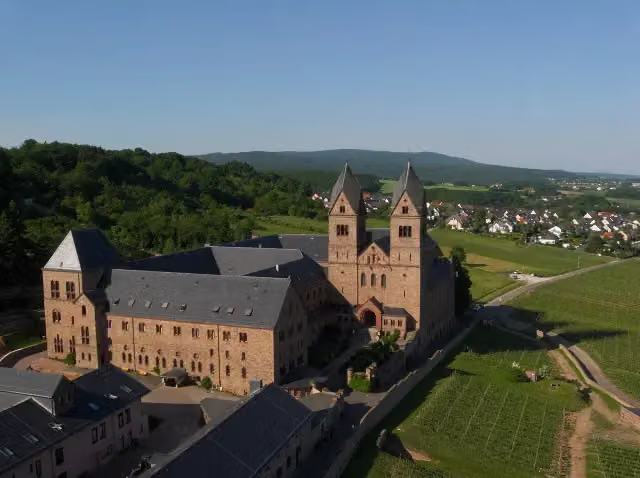
i
Photo: Tiggr · Wikimedia Commons · CC BY-SA 3.0View the photo on Wikimedia CommonsAttraction · after 35.5 km
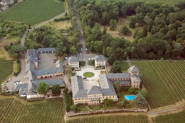
i
Photo: Fritz Geller-Grimm · Wikimedia Commons · CC BY-SA 2.5View the photo on Wikimedia CommonsCastle · after 42.6 km
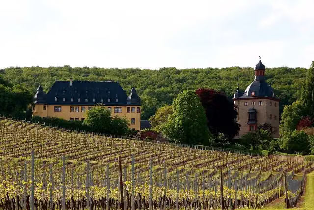
i
Photo: Wo st 01 (There are 682 Pictures in my Category) See also Toolserver · Wikimedia Commons · CC BY-SA 3.0 deView the photo on Wikimedia CommonsCastle · after 44.9 km
Stages (3)
Elevation and terrain
- Up
- ↑ 3,554 m
- Down
- ↓ 3,625 m
- Highest point
- 547 m
- Lowest point
- 82 m
- 5-10% slope · 50.3 km
- 10-15% slope · 12.9 km
- 15-20% slope · 1.4 km
- 22 stairs
Elevation from Copernicus GLO-30 (European Union and ESA), smoothed.
produced using Copernicus WorldDEM-30 © DLR e.V. 2010-2014 and © Airbus Defence and Space GmbH 2014-2018 provided under COPERNICUS by the European Union and ESA; all rights reserved
Way types
209.7 km in total- Track: 127.8 km
- Path: 34 km
- Street: 25.2 km
- Road: 12.4 km
- Footpath: 5.9 km
- Busy road: 2.1 km
- Stairs: 22 stairs
- Cycleway: 475 m
Surfaces
209.7 km in total- Gravel: 60.4 km
- Asphalt: 54.6 km
- Unpaved: 34.1 km
- Paved: 20.8 km
- Natural: 9.3 km
- Unknown: 29.6 km
About the walking route Hessenweg 7
Updated on 14 November 2026, with data from OpenStreetMap, the AHN and Copernicus.
Where do you walk?
Hessenweg 7 is a walking route of 209.7 km that starts in Kaub. It does not end where it starts. You start in Kaub and finish in Erbach. Along the way you pass Burg Gutenfels (after 718 m), Ehrenfels (after 31 km) and Binger Blick (after 32.6 km).
How hard is the route?
You climb 3,554 m in total and descend 3,625 m. There are 22 flights of steps along the way. Allow ± 17:30 h per stage, without breaks. Per stage the level is hard.
What paths do you walk on?
The longest part is track (127.8 km), path (34 km) and street (25.2 km). Of the surface, 60.4 km gravel and 54.6 km asphalt. For 29.6 km the surface is not known.
Pitstops along the way
Within 100 metres of the route there are 837 benches, 6 water fountains and refill points, 38 public toilets and 6 bike pumps. You can fill your bottle after 7.8 km, after 39.2 km, after 57.2 km, after 75.5 km, after 140.9 km and at the finish. The longest stretch without a toilet is 34.4 km. The Outdoor Pitstop app navigates you there.
Walks nearby
6- Rhein-Camino - 3. Etappe - JakobswegModerate · From A to B15 km
- Europäischer Fernwanderweg E3, Rhein - TaunusHard · From A to B59.6 km
- TaunushöhenwegHard · From A to B59.8 km
- Rheinsteig Etappe 15 [St. Goarshausen - Kaub]Hard · From A to B21.5 km
- Nord Süd Trail, Abschnitt Sankt Goarshausen - RüdesheimHard · From A to B55.8 km
- Rheinhöhenweg Kaub-Wiesbaden (rrh.-Taunus)Hard · From A to B80.1 km
Sights nearby
Within 10 km of the route, best known first.
- 1
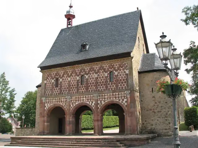 Lorsch AbbeyAttraction · 4.9 km from the route
- 2
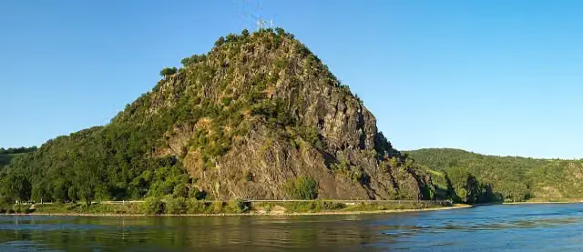 LoreleiAttraction · 6.1 km from the route
- 3
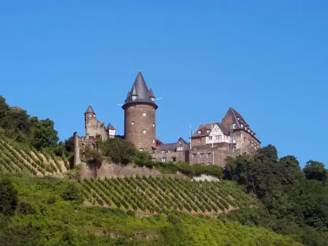 Burg StahleckCastle · 887 m from the route
- 4
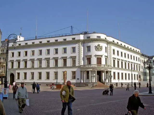 Stadtschloss WiesbadenCastle · 5 km from the route
- 5
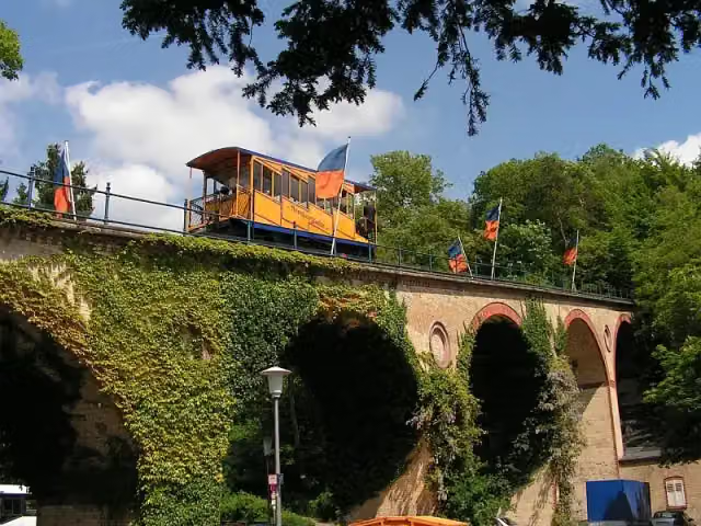 NerotalAttraction · 5.5 km from the route
- 6
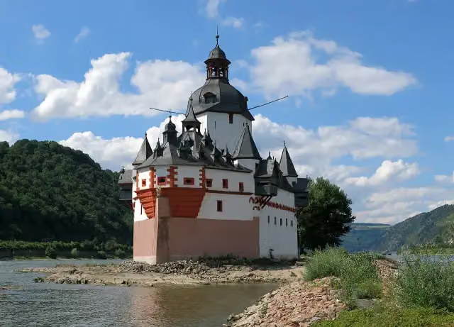 Pfalzgrafenstein CastleAttraction · 199 m from the route
- 7
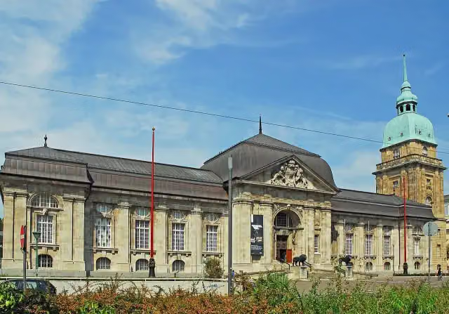 Hessisches LandesmuseumMuseum · 6.5 km from the route
- 8
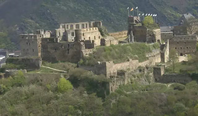 Rheinfels CastleCastle · 8.4 km from the route
- 9
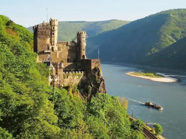 Burg RheinsteinCastle · 702 m from the route
- 10
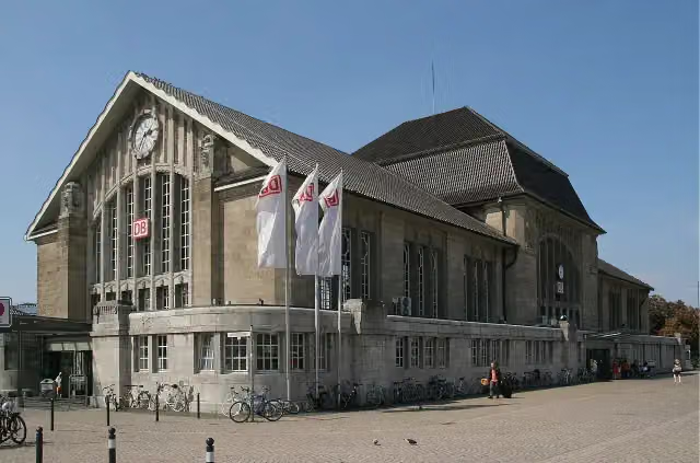 Darmstadt HauptbahnhofAttraction · 6.3 km from the route
- 11
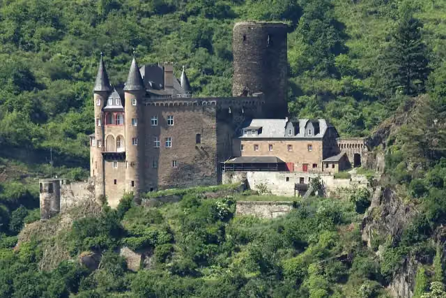 Katz CastleCastle · 7.6 km from the route
- 12
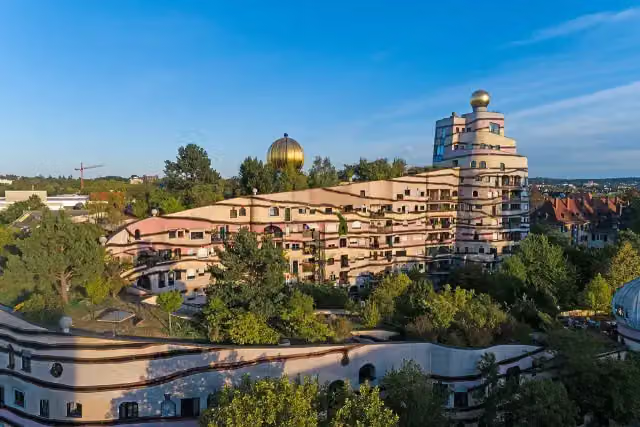 WaldspiraleAttraction · 7.7 km from the route
- 13
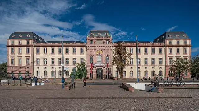 Residential Palace DarmstadtAttraction · 6.4 km from the route
- 14
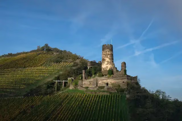 Fürstenberg CastleCastle · 792 m from the route
- 15
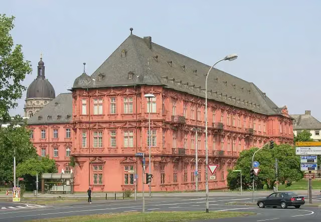 Kurfürstliches SchlossCastle · 660 m from the route
- 16
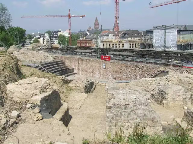 Roman Theatre Archaeological SiteArchaeological site · 973 m from the route
- 17
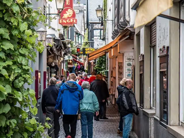 DrosselgasseAttraction · 974 m from the route
- 18
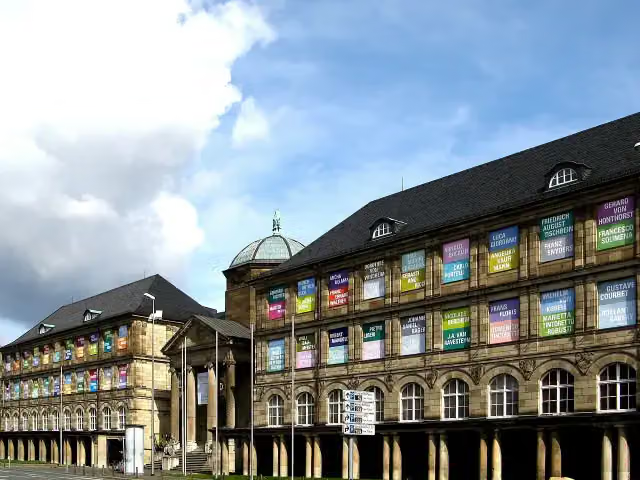 Museum WiesbadenMuseum · 4.6 km from the route
- 19
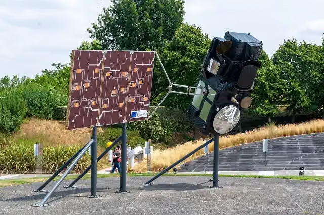 Model of Sentinel-3Attraction · 5.5 km from the route
- 20
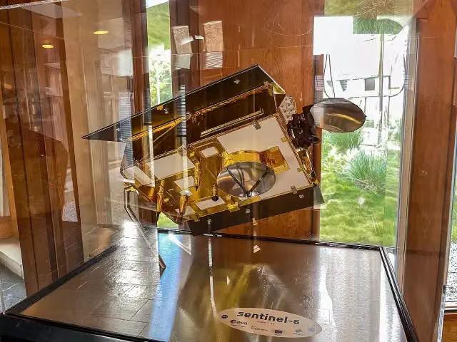 Model of Sentinel-6Attraction · 5.5 km from the route
- 21
 Model of MetopAttraction · 5.6 km from the route
- 22
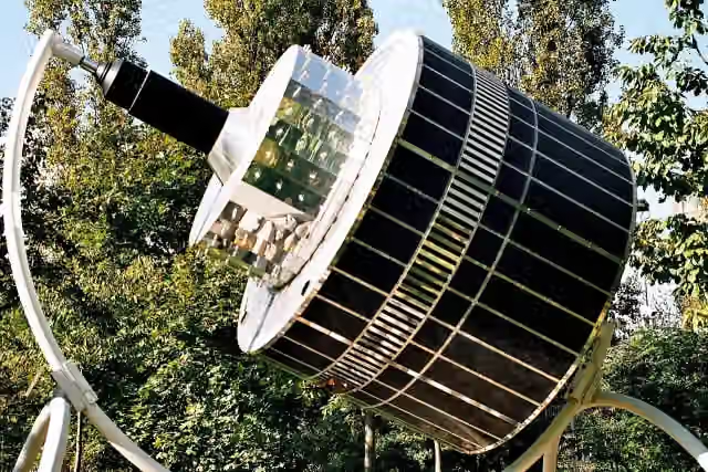 Model of MeteosatAttraction · 5.6 km from the route
- 23
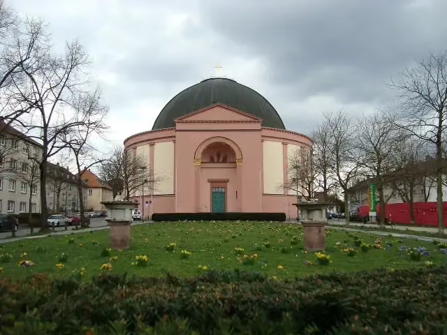 LudwigskircheAttraction · 5.7 km from the route
- 24
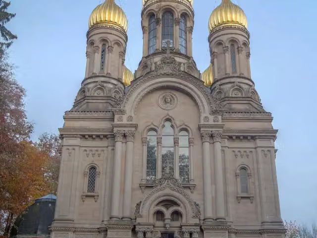 Russian Orthodox Church of Saint Elizabeth in WiesbadenAttraction · 6.2 km from the route
- 25
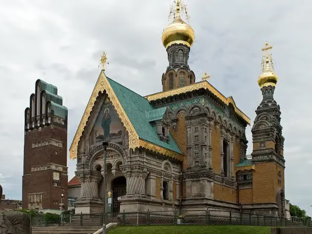 Russian Orthodox Church of Saint Mary MagdaleneAttraction · 6.8 km from the route
Explore more
Frequently asked questions
How long is Hessenweg 7?
Hessenweg 7 is 209.7 km long, in 3 parts of 69.9 km on average. Allow ± 17:30 h per part of walking: 4.5 km an hour and 10 minutes more per 100 metres of climbing, without breaks.
Is this route a circular walk?
No, the route runs from Kaub to Erbach.
Where does this route start?
The route starts in Kaub.
How hard is this route?
Hard per stage, with 1,185 m per stage of climbing.
Are there toilets along this route?
Yes, there are 38 public toilets within 100 m of the route. The longest stretch without a toilet is 34.4 km.
Can you fill up with water along this route?
Yes, there are 6 water fountains and refill points within 100 m of the route.
What is there to see along this route?
Along the way you pass Burg Gutenfels, Ehrenfels and Binger Blick.
Can I download this route as a GPX file?
Yes. Sign in with your Outdoor Pitstop account and choose Download GPX at the top of this page: 10 routes a month for free, unlimited with Pro.
Starting point
More routes from this place
Route data © OpenStreetMap contributors





