 Outdoor Pitstop
Walking route · Drochtersen · Updated on 14 November 2026
Jakobsweg - via Jutlandica walk
Jakobsweg - via Jutlandica is a walk of 509.4 km from Drochtersen. Along the way you'll find 855 benches, 1 water point, 52 public toilets, 10 bike pumps and 1 honesty box.
i
i
i
The route step by step
From start to finish, with what you pass along the way and the distance in between.
- 509.4 km
- From A to B
- National route
Pick a stage to see the pitstops per kilometre. Along the way you'll find 855 benches, 1 water point, 52 public toilets, 10 bike pumps and 1 honesty box.
Follow these steps in the appThe route with the water points, toilets and sights within 100 m of it.
23 sights along the way
In the order you pass them. With the Outdoor Pitstop app you hear their story on the spot. 15 more along the route are on the map.
i
Photo: Morn the Gorn · Wikimedia Commons · CC BY-SA 3.0View the photo on Wikimedia CommonsAttraction
i
Photo: Dr. Karl-Heinz Hochhaus · Wikimedia Commons · CC BY 3.0View the photo on Wikimedia CommonsMuseum

Observation tower
- Audio story · 2 min
i
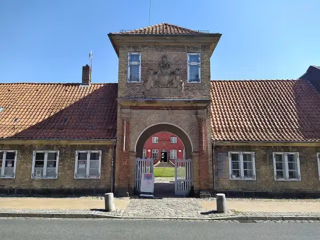
Photo: Matthias Süßen · Wikimedia Commons · CC BY-SA 4.0View the photo on Wikimedia CommonsGottorf Castle
Castle
i
Photo: Gerd Fahrenhorst · Wikimedia Commons · CC BY 4.0View the photo on Wikimedia CommonsMuseum
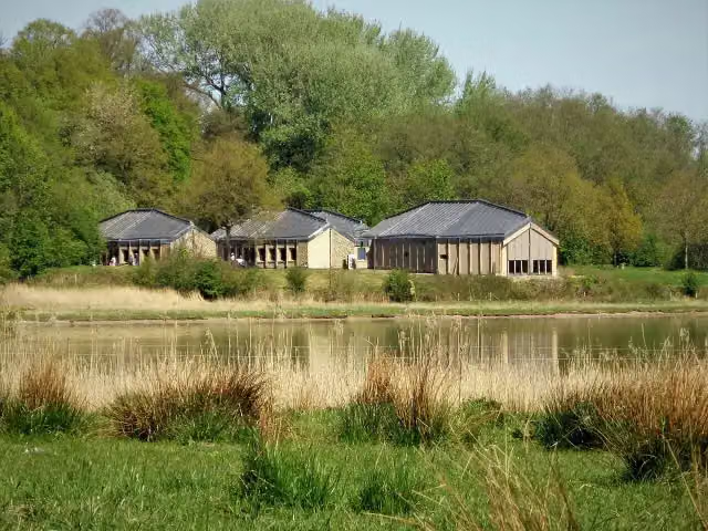
i
Photo: Siegbert Brey · Wikimedia Commons · CC BY-SA 4.0View the photo on Wikimedia CommonsMuseum
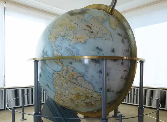
i
Photo: Holger.Ellgaard · Wikimedia Commons · CC BY-SA 4.0View the photo on Wikimedia CommonsMuseum
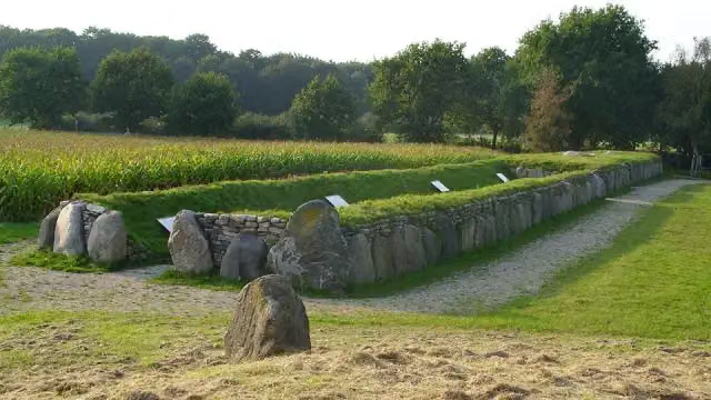
i
Photo: Holger rix · Wikimedia Commons · CC BY-SA 3.0View the photo on Wikimedia CommonsArchaeological site
Stages (3)
About the walking route Jakobsweg - via Jutlandica
Updated on 14 November 2026, with data from OpenStreetMap, the AHN and Copernicus.
Where do you walk?
Jakobsweg - via Jutlandica is a walking route of 509.4 km that starts in Drochtersen. It does not end where it starts.
Pitstops along the way
Within 100 metres of the route there are 855 benches, 1 water point, 52 public toilets, 10 bike pumps and 1 honesty box. The Outdoor Pitstop app navigates you there.
Walks nearby
1Sights nearby
Within 10 km of the route, best known first.
- 1
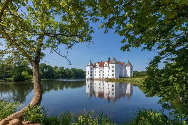 Schloss GlücksburgMuseum · 9.6 km from the route
- 2
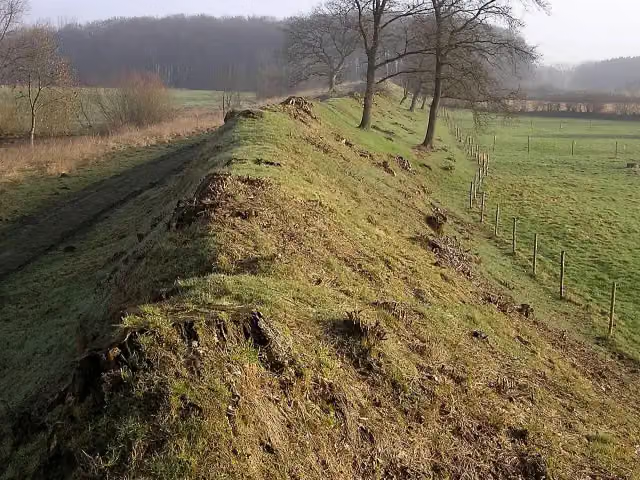 DanewerkArchaeological site · 5.9 km from the route
- 3
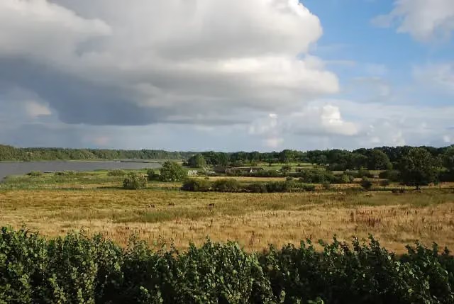 HedebyArchaeological site · 123 m from the route
- 4
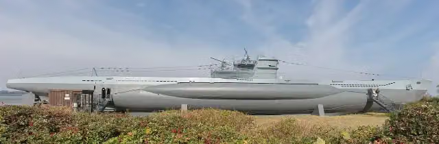 U-995Attraction · 7.8 km from the route
- 5
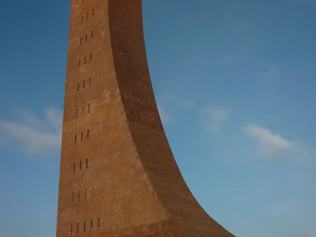 Laboe Naval MemorialMonument · 7.9 km from the route
- 6
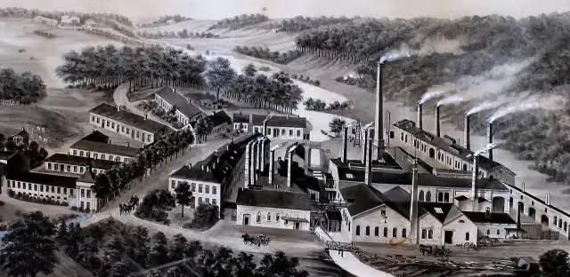 Industrial museum copper millMuseum · 7.8 km from the route
- 7
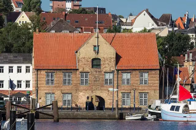 KompagnietorAttraction · 2.4 km from the route
- 8
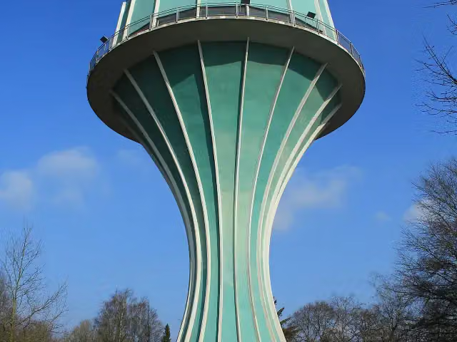 Wasserturm Flensburg-MürwikViewpoint · 3.1 km from the route
- 9
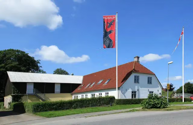 Danevirke MuseumMuseum · 3.6 km from the route
- 10
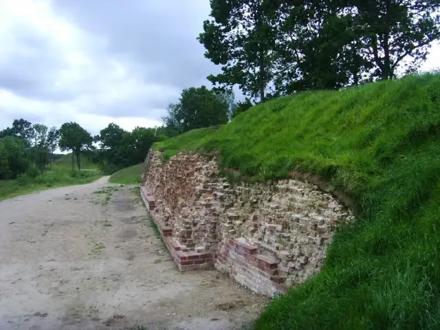 DanewerkArchaeological site · 3.8 km from the route
- 11
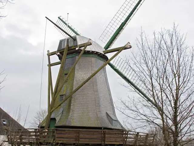 BergmühleAttraction · 3.9 km from the route
- 12
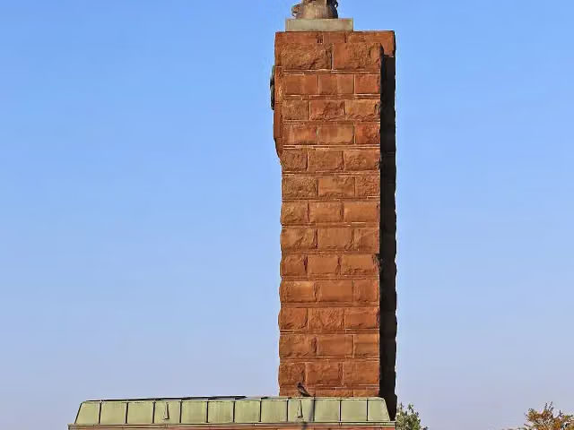 U-Boat Memorial MöltenortMonument · 4.1 km from the route
- 13
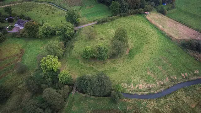 Burg NiehuusArchaeological site · 7.9 km from the route
- 14
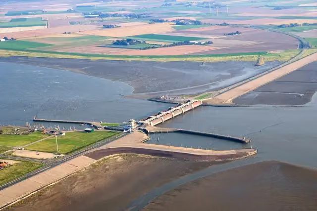 EidersperrwerkAttraction · 7.9 km from the route
- 15
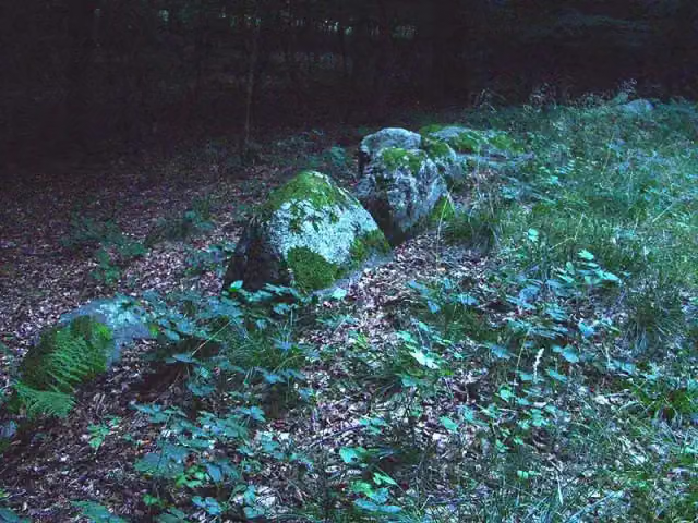 PinnesgrabArchaeological site · 9 km from the route
- 16
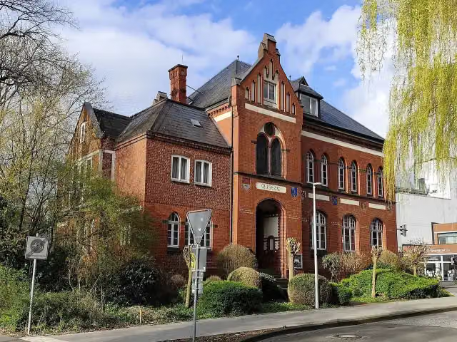 Heimatmuseum StadeMuseum · 102 m from the route
- 17
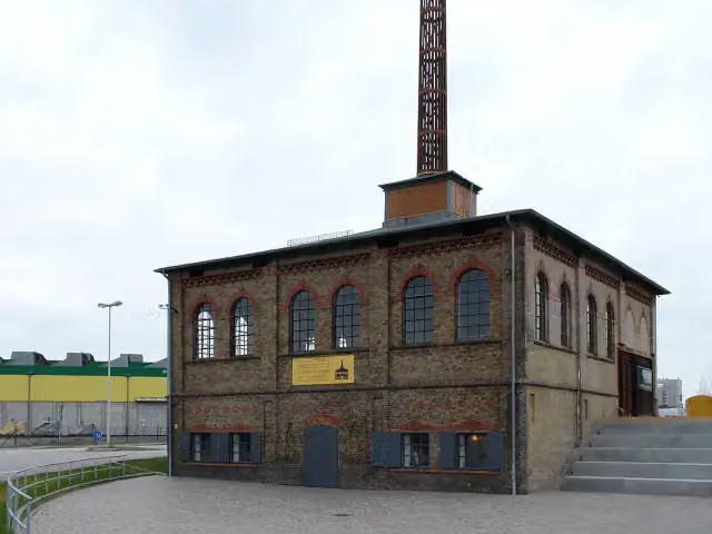 Howaldtsche MetallgießereiMuseum · 110 m from the route
- 18
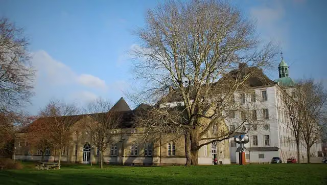 NydamhalleMuseum · 111 m from the route
- 19
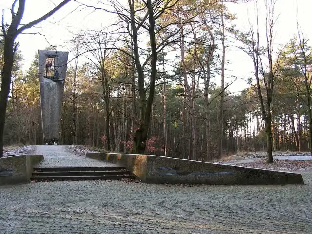 Gedenkstätte GudendorfMemorial · 114 m from the route
- 20
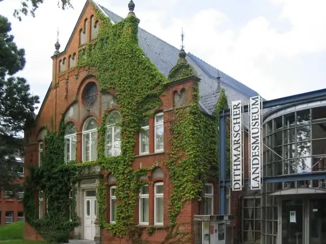 Dithmarscher LandesmuseumMuseum · 123 m from the route
- 21
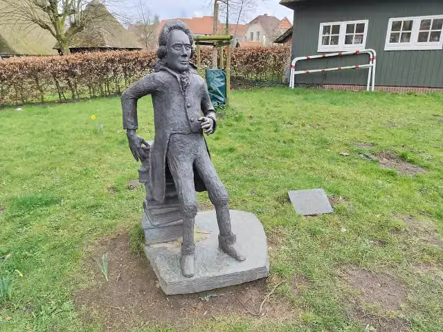 Georg Christoph LichtenbergMemorial · 153 m from the route
- 22
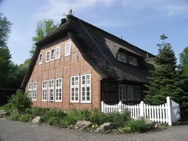 Freilichtmuseum auf der InselMuseum · 171 m from the route
- 23
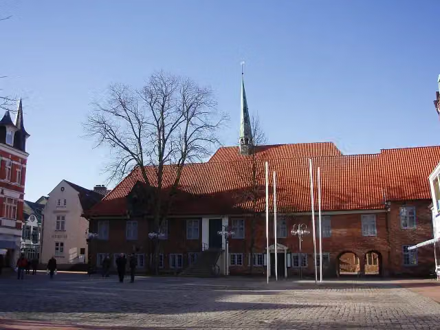 Museum EckernfördeMuseum · 208 m from the route
- 24
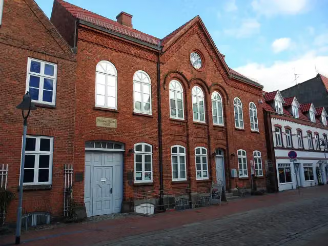 Jüdisches MuseumMuseum · 214 m from the route
- 25
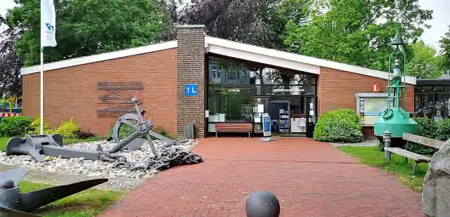 Kanalmuseum ATRIUMMuseum · 243 m from the route
Explore more
More walks around Drochtersen
More nearby
Frequently asked questions
How long is Jakobsweg - via Jutlandica?
Jakobsweg - via Jutlandica is 509.4 km long, split into several parts and stages.
Is this route a circular walk?
No, the route starts and ends at different spots.
Where does this route start?
The route starts in Drochtersen.
Are there toilets along this route?
Yes, there are 52 public toilets within 100 m of the route.
Can you fill up with water along this route?
Yes, there are 1 water point within 100 m of the route.
What is there to see along this route?
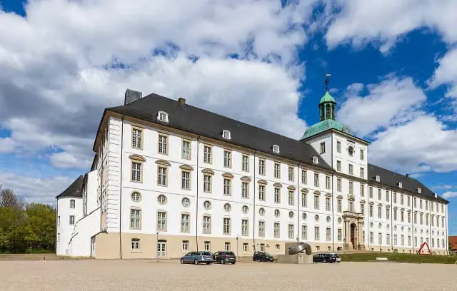
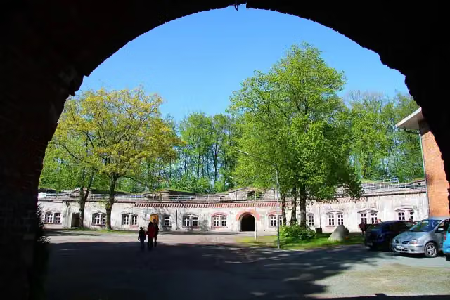
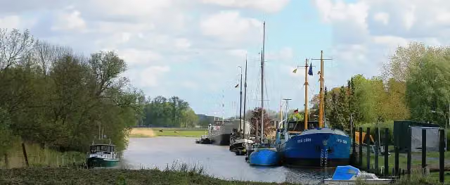
Along the way you pass Festung Grauerort, Kehdinger Küstenschiffahrtsmuseum and Observation tower.
Can I download this route as a GPX file?
Yes. Sign in with your Outdoor Pitstop account and choose Download GPX at the top of this page: 10 routes a month for free, unlimited with Pro.
Starting point
More routes from this place
Route data © OpenStreetMap contributors





