 Outdoor Pitstop
Walking route · Arnhem · Veluwe Wandering Trail · Updated on 5 November 2026
Veluwe Zwerfpad walk
Veluwe Zwerfpad is a walk of 380.4 km from Arnhem. Along the way: 680 benches and picnic tables, 22 water fountains and refill points, 13 public toilets and 6 bike pumps.
i
i
i
The route step by step
From start to finish, with what you pass along the way and the distance in between.
- 380.4 km
- ± 3:30 h per stage
- ↑ 1,500 m · ↓ 1,481 m
- Moderate per stage
- From A to B
- Regional route
Start in Arnhem
0 kmAt the start: water point.
491 m · 3 benches
Water point
491 m166 m

Nederland Watermuseum
657 mMuseum
275 m · 5 benches
Water point
932 m1.4 km · 37 benches
Huis Zypendaal
2.4 kmWater point
6.3 km · 17 benches
Water point
8.6 km10.3 km · 26 benches
Airborne Monument
19 km2 water fountains and refill points
12.4 km · 17 benches
Water point
31.3 km12.3 km · 7 benches
Valenberg
43.6 kmViewpoint
10.6 km · 22 benches
De Koepel
54.3 kmWater point
5.1 km · 36 benches
Middelpunt van Nederland
59.3 kmViewpoint
2.4 km · 2 benches
De Germaanse Put
61.7 kmArchaeological site
800 m · 2 benches
Celtic Fields and 1 more
62.5 kmObservation tower
19.4 km · 21 benches
Public toilet
81.9 km13.5 km · 10 benches
Public toilet
95.4 km12.3 km · 36 benches
2 water fountains and refill points
107.7 km38.1 km · 64 benches
Public toilet
145.8 km1.2 km · 7 benches
2 public toilets, 2 water fountains and refill points and 2 bike pumps
147 km4.2 km · 5 benches
Het Verscholen Dorp
151.2 kmAttraction · Audio story · 2 min
11.3 km · 11 benches
Kasteel Cannenburch
162.6 kmMuseum · Audio story · 2 min
1.7 km · 14 benches
Public toilet
164.3 km36.1 km · 36 benches
gebouw A
200.4 kmAttraction
13.6 km · 26 benches
Public toilet and water point
214 km11.1 km · 9 benches
Monument Woeste Hoeve
225.1 kmMemorial
12.5 km · 17 benches
Uitkijktoren Trapjesberg
237.6 kmObservation tower
26.1 km · 49 benches
Posbank
263.7 kmPublic toilet, water point and bike pump
4.6 km · 5 benches
Brandtoren
268.3 kmObservation tower
9.3 km · 13 benches
Memorial
4.8 km · 7 benches
2 public toilets
282.3 km3.3 km · 29 benches
Water point
285.6 km
Show the other 10 steps
440 m · 5 benches
Water point
286.1 km490 m · 17 benches
Water point
286.5 km40.9 km · 47 benches
Water point and bike pump
327.5 km21.5 km · 27 benches
Museonder
348.9 km2 public toilets
4.6 km · 13 benches
Jachthuis Sint Hubertus
353.5 kmPublic toilet
4.1 km · 6 benches
Water point
357.6 km208 m · 6 benches
Water point
357.9 km12.3 km · 6 benches
Bike pump
370.2 km6.9 km · 3 benches
Water point and bike pump
377.1 km3.4 km · 4 benches
Finish
380.4 km
Longest stretch without a toilet: 81.9 kmBetween 0 km and 81.9 km there is no public toilet within 100 m of the route.
The route with the water points, toilets and sights within 100 m of it.
19 sights along the way
In the order you pass them. With the Outdoor Pitstop app you hear their story on the spot. 11 more along the route are on the map.
i
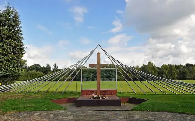
Photo: Ciell · Wikimedia Commons · CC BY 2.5View the photo on Wikimedia CommonsMuseum · after 657 m
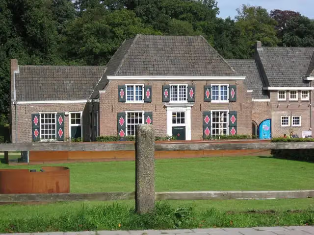
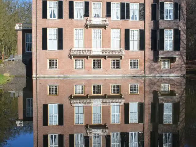
Huis Zypendaal
Castle · after 2.4 km
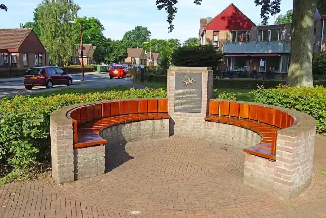
Memorial · after 19 km
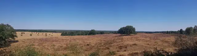
Viewpoint · after 43.6 km

Observation tower · after 54.3 km
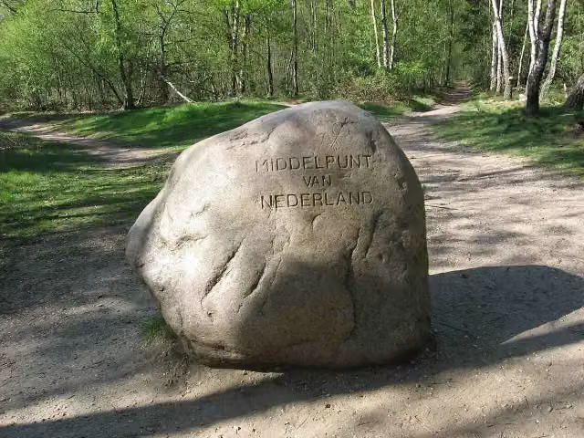
Middelpunt van Nederland
Viewpoint · after 59.3 km
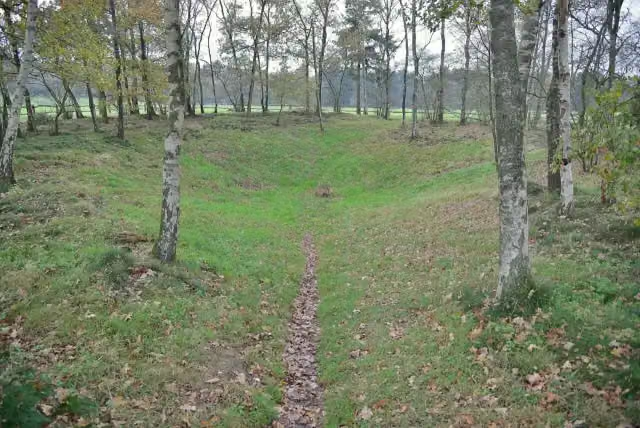
i
Photo: Rasbak · Wikimedia Commons · CC BY-SA 3.0View the photo on Wikimedia CommonsArchaeological site · after 61.7 km
Museum · after 62.5 km
Stages (25)
- 1etappe 01stage 0119 km
- 2etappe 02stage 0220.5 km
- 3etappe 03stage 0316.7 km
- 4etappe 04stage 0417.1 km
- 5etappe 05stage 0513.8 km
- 6etappe 06stage 069.5 km
- 7etappe 07stage 0712.7 km
- 8etappe 08stage 0814.7 km
- 9etappe 09stage 0915.6 km
- 10etappe 10stage 107.5 km
- 11etappe 11stage 1115.7 km
- 12etappe 12stage 1217.5 km
- 13etappe 13stage 1315.4 km
- 14etappe 14stage 1417.7 km
- 15etappe 15stage 1520.5 km
- 16etappe 16stage 1618.6 km
- 17etappe 17stage 177.5 km
- 18etappe 18stage 1813.1 km
- 19etappe 19stage 1913.5 km
- 20doorsteek 1 - etappe 20shortcut 1 - stage 2011.6 km
- 21doorsteek 2 - etappe 21shortcut 2 - stage 218.9 km
- 22doorsteek 3 - etappe 22shortcut 3 - stage 2217.2 km
- 23doorsteek 4 - etappe 23shortcut 4 - stage 2318.5 km
- 24doorsteek 5 - etappe 24shortcut 5 - stage 2415.1 km
- 25doorsteek 6 - etappe 25shortcut 6 - stage 2522.7 km
Elevation and terrain
- Up
- ↑ 1,500 m
- Down
- ↓ 1,481 m
- Highest point
- 100 m
- Lowest point
- 10 m
- 5-10% slope · 2.6 km
- 7 stairs
Elevation from AHN (Rijkswaterstaat), smoothed.
Way types
380.4 km in total- Track: 218.5 km
- Path: 84.2 km
- Road: 38.6 km
- Cycleway: 19.2 km
- Street: 9.1 km
- Footpath: 7.9 km
- Busy road: 1.1 km
- Stairs: 7 stairs
- Unknown: 25 m
Surfaces
380.4 km in total- Natural: 74.5 km
- Unpaved: 65.5 km
- Gravel: 61.7 km
- Asphalt: 39.8 km
- Paved: 13 km
- Unknown: 124.5 km
About the walking route Veluwe Zwerfpad
Updated on 5 November 2026, with data from OpenStreetMap and the AHN.
Where do you walk?
Veluwe Zwerfpad is a walking route of 380.4 km that starts in Arnhem. It does not end where it starts. Along the way you pass Nederland Watermuseum (after 657 m), Huis Zypendaal (after 2.4 km) and Airborne Monument (after 19 km).
How hard is the route?
You climb 1,500 m in total and descend 1,481 m. There are 7 flights of steps along the way. Allow ± 3:30 h per stage, without breaks. The level is moderate per stage.
What paths do you walk on?
The longest part is track (218.5 km), path (84.2 km) and road (38.6 km). Of the surface, 74.5 km natural and 65.5 km unpaved. For 124.5 km the surface is not known.
Pitstops along the way
Within 100 metres of the route there are 680 benches and picnic tables, 22 water fountains and refill points, 13 public toilets and 6 bike pumps. The longest stretch without a toilet is 81.9 km. The Outdoor Pitstop app navigates you there.
Sights nearby
Within 10 km of the route, best known first.
- 1
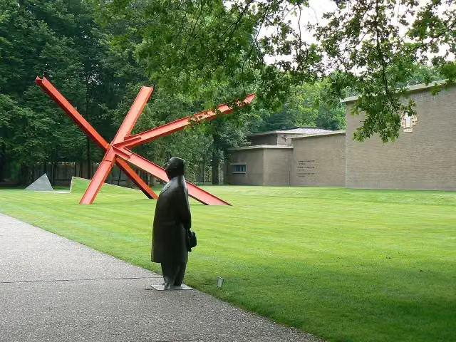 Kröller-Müller MuseumMuseum · 330 m from the route
- 2
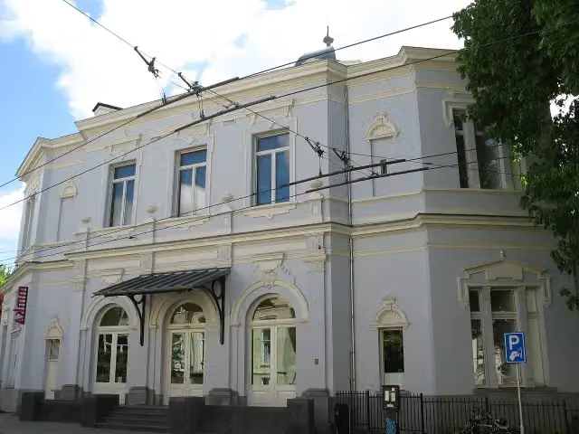 Museum ArnhemMuseum · 418 m from the route
- 3
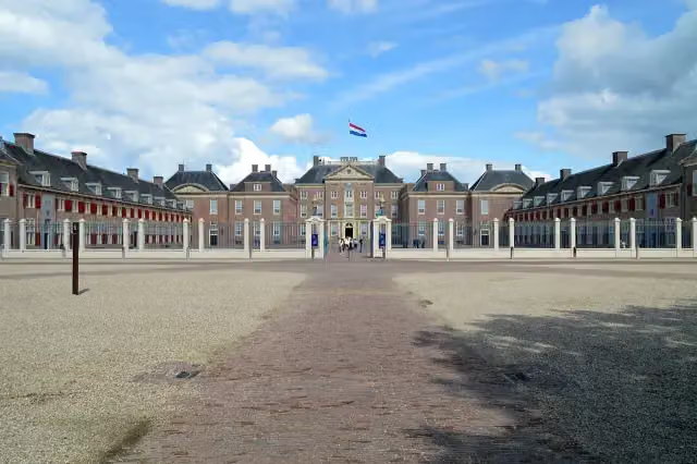 Paleis het LooCastle · 2.6 km from the route
- 4
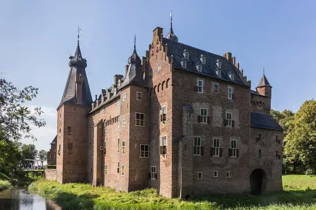 Kasteel DoorwerthCastle · 2.6 km from the route
- 5
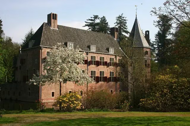 Kasteel Het Oude LooCastle · 2.3 km from the route
- 6
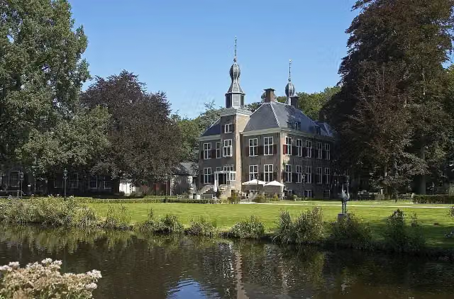 Kasteel De EssenburghCastle · 2.9 km from the route
- 7
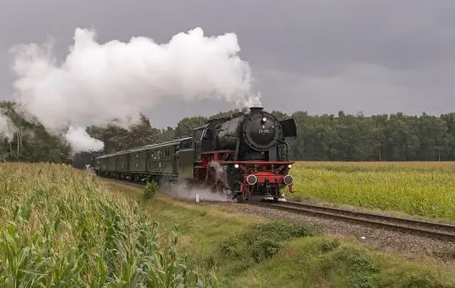 Veluwsche Stoomtrein MaatschappijMuseum · 4.5 km from the route
- 8
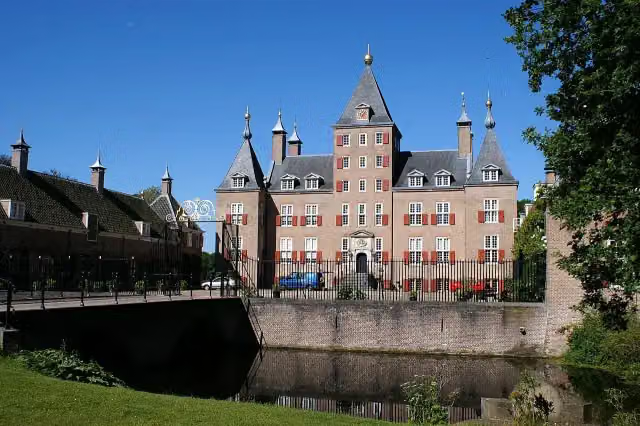 Kasteel RenswoudeCastle · 5.6 km from the route
- 9
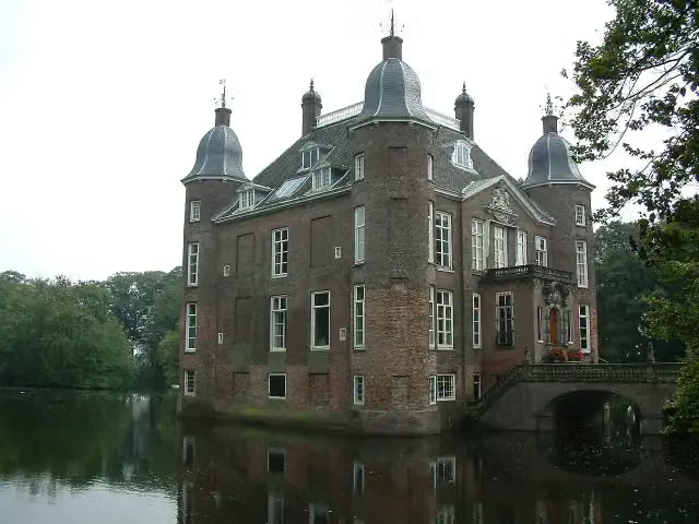 Kasteel BiljoenCastle · 2.3 km from the route
- 10
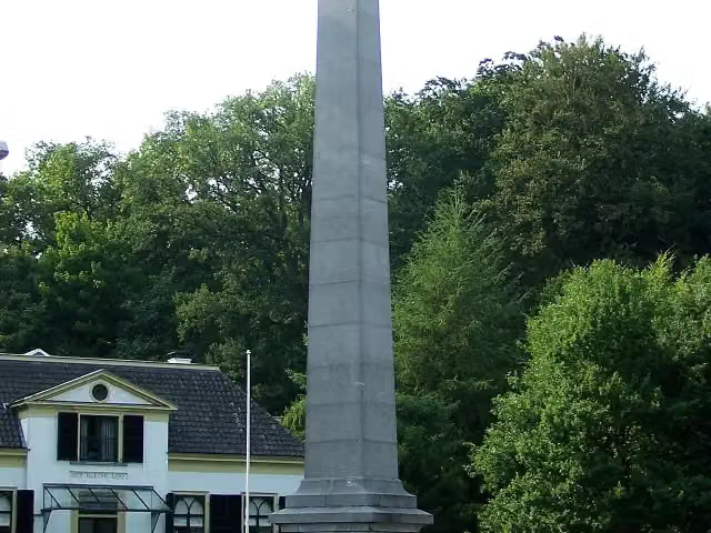 De NaaldMemorial · 3.2 km from the route
- 11
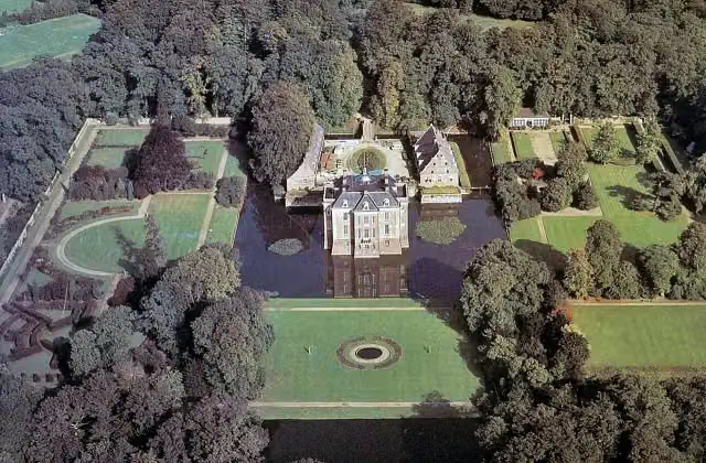 Kasteel MiddachtenCastle · 1.4 km from the route
- 12
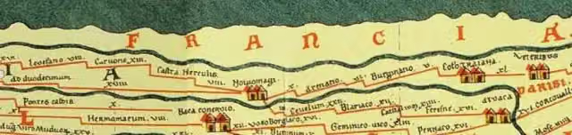 Castellum MeinerswijkArchaeological site · 2.3 km from the route
- 13
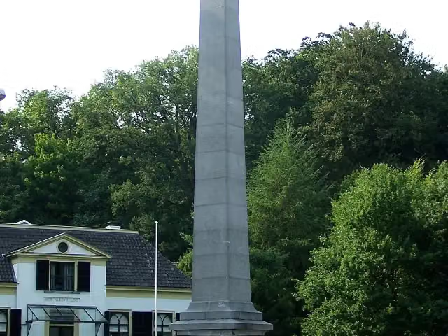 30 april 2009Memorial · 3.2 km from the route
- 14
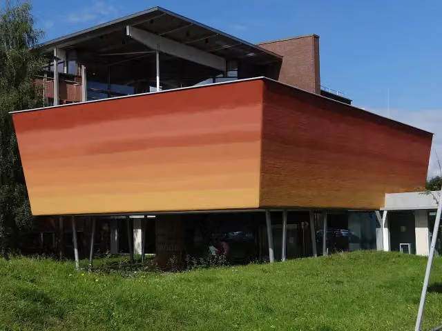 World Soil MuseumMuseum · 4 km from the route
- 15
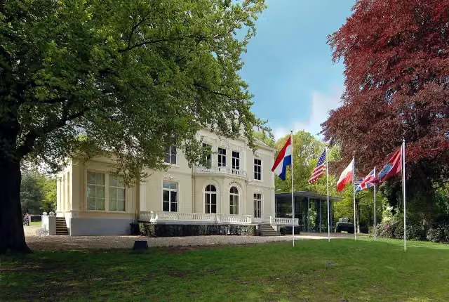 Airborne Museum 'Hartenstein'Museum · 807 m from the route
- 16
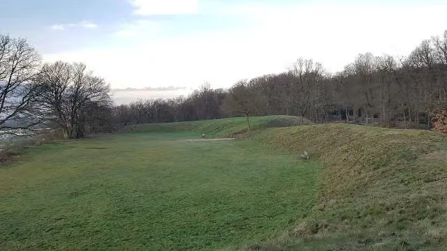 HunneschansArchaeological site · 2.5 km from the route
- 17
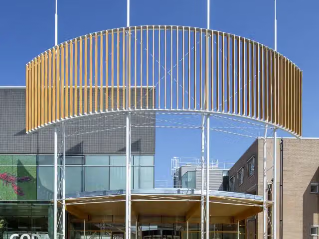 CODAMuseum · 4.7 km from the route
- 18
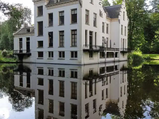 Kasteel StaverdenCastle · 981 m from the route
- 19
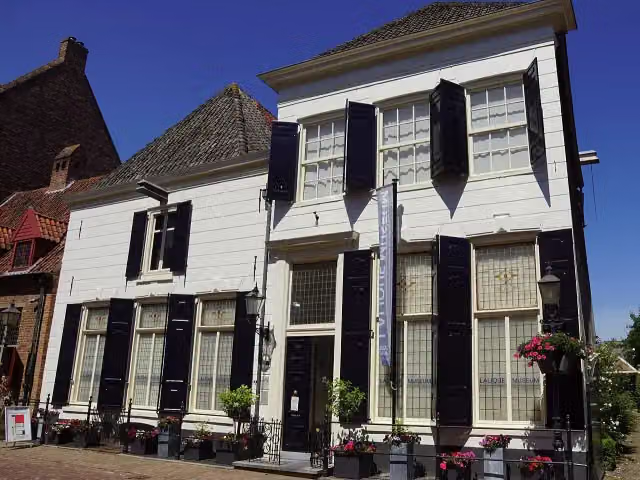 Lalique MuseumMuseum · 4 km from the route
- 20
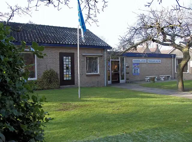 Nederlands TegelmuseumMuseum · 193 m from the route
- 21
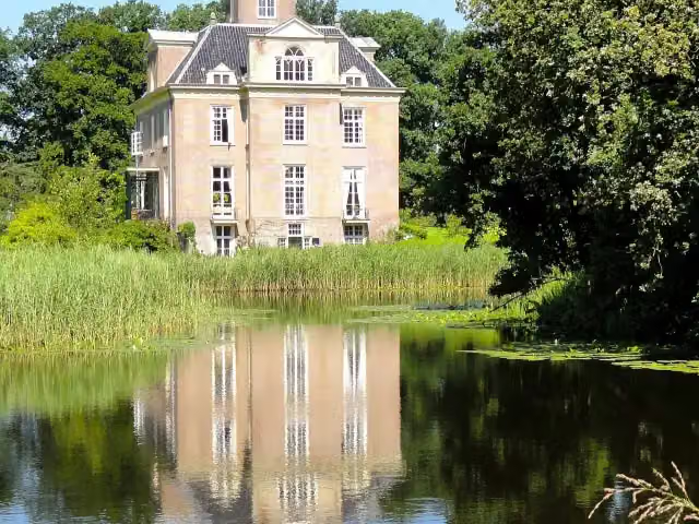 Kasteel OldenallerCastle · 5.1 km from the route
- 22
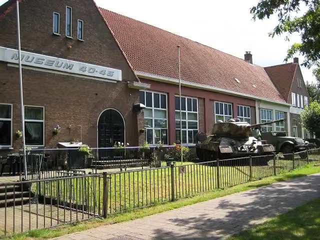 Arnhem War Museum 40 - 45Museum · 385 m from the route
- 23
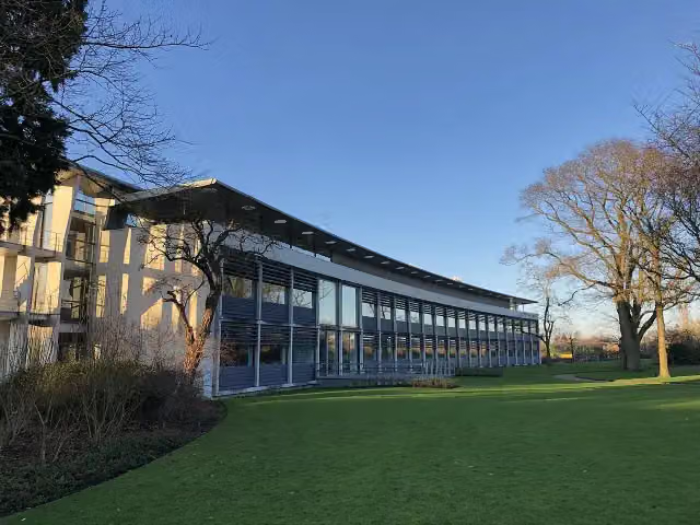 Het DepotMuseum · 4.3 km from the route
- 24
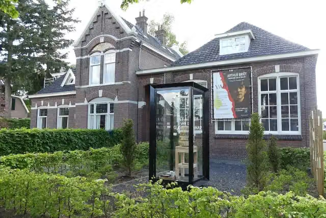 Noord-Veluws MuseumMuseum · 4.3 km from the route
- 25
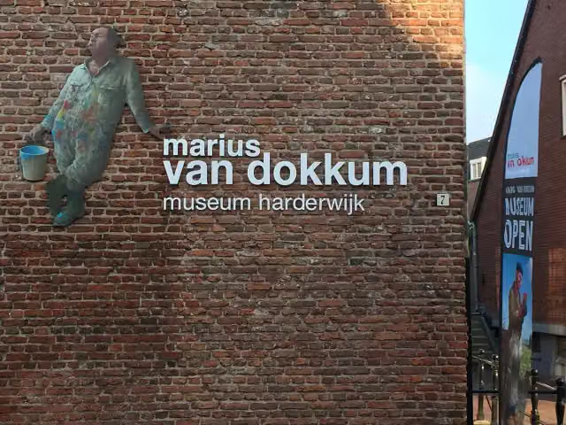 Marius van Dokkum MuseumMuseum · 6.2 km from the route
Explore more
Frequently asked questions
How long is Veluwe Zwerfpad?
Veluwe Zwerfpad is 380.4 km long, in 25 stages of 15.2 km on average. Allow ± 3:30 h per stage of walking: 4.5 km an hour and 10 minutes more per 100 metres of climbing, without breaks.
Is this route a circular walk?
No, the route starts and ends at different spots.
Where does this route start?
The route starts in Arnhem.
How hard is this route?
Moderate per stage, with 60 m per stage of climbing.
Are there toilets along this route?
Yes, there are 13 public toilets within 100 m of the route. The longest stretch without a toilet is 81.9 km.
Can you fill up with water along this route?
Yes, there are 22 water fountains and refill points within 100 m of the route.
What is there to see along this route?
Along the way you pass Nederland Watermuseum, Huis Zypendaal and Airborne Monument.
Start place
More routes from this place
Route data © OpenStreetMap contributors





