 Outdoor Pitstop
Walking route · Ede · Updated on 14 November 2026
Kreelsepad walk
Kreelsepad is a walk of 14.8 km from Ede that starts and ends at the same spot. Along the way you'll find 7 benches, 2 water fountains and refill points and 2 public toilets.
i
i
The route step by step
From start to finish, with what you pass along the way and the distance in between.
- 14.8 km
- ± 3:25 h
- ↑ 100 m · ↓ 73 m
- Moderate
- Circular walk
- Local route
This route is in pieces in OpenStreetMap, so there are no kilometres per pitstop. Along the way you'll find 7 benches, 2 water fountains and refill points and 2 public toilets.
Follow these steps in the appThe route with the pitstops and sights within 100 m of it.
2 sights along the way
In the order you pass them. With the Outdoor Pitstop app you hear their story on the spot.
Viewpoint
Elevation and terrain
- Up
- ↑ 100 m
- Down
- ↓ 73 m
- Highest point
- 51 m
- Lowest point
- 22 m
- 5-10% slope · 74 m
- 10-15% slope · 371 m
- 15-20% slope · 74 m
Elevation from AHN (Rijkswaterstaat), smoothed.
Way types
14.8 km in total- Track: 12 km
- Path: 2.7 km
- Cycleway: 25 m
Surfaces
14.8 km in total- Natural: 6.2 km
- Gravel: 2.5 km
- Unpaved: 1.7 km
- Paved: 218 m
- Asphalt: 25 m
- Unknown: 4.1 km
About the walking route Kreelsepad
Updated on 14 November 2026, with data from OpenStreetMap, the AHN and Copernicus.
Where do you walk?
Kreelsepad is a circular walk of 14.8 km from Ede: it starts and ends in the same place.
How hard is the route?
You climb 100 m in total and descend 73 m. Allow ± 3:25 h, without breaks. The level is moderate.
What paths do you walk on?
The longest part is track (12 km), path (2.7 km) and cycleway (25 m). Of the surface, 6.2 km natural and 2.5 km gravel. For 4.1 km the surface is not known.
Pitstops along the way
Within 100 metres of the route there are 7 benches, 2 water fountains and refill points and 2 public toilets. The Outdoor Pitstop app navigates you there.
Kreelsepad Ede: a 15 km walking route
The Kreelsepad is a local walking route of 15 km. It is a circular route, so you start and finish in the same place. Along the way you climb 100 metres in total and descend 73 metres. This page shows the map of the route and the elevation profile, so you can see in advance where the height differences are. The pitstops along the way are also marked: public toilets, drinking water and benches. That way you know beforehand where you can take a break and refill your bottle. It helps you plan your walk.
Surface and elevation on the Kreelsepad walk
The Kreelsepad walk runs mostly over soft, natural ground. Of the total distance, 58% is natural ground, 24% is gravel and 16% is unpaved. That makes for a route that is comfortable underfoot, but after rain some sections can be muddy, so wear shoes with a firm tread. Most of the walk, 82%, follows a farm track or forest track, and the remaining 18% is footpath. Over the full distance of 15 km you climb 100 metres in total. This is spread across the route and does not make for a hard climb, so you can walk at a steady pace, even if you do not often cover long distances.
Along the way: pit stops and points of interest
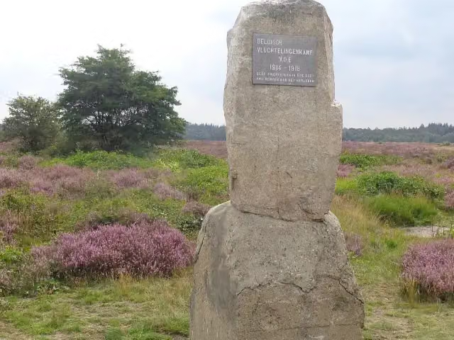
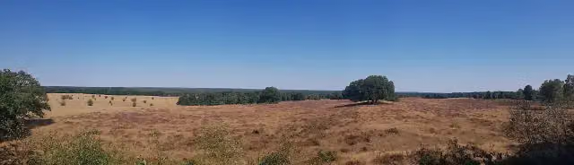
Along the Kreelsepad walk you pass 2 public toilets and 2 water points, so you can take a break and refill your bottle. For a rest, there are 7 benches along the route, so you won't need to look far for a place to sit. You also come across 2 points of interest. The Belgisch Vluchtelingenkamp V.O.E. 1914-1918 is a memorial you encounter on the route. On the Valenberg you will find a lookout point, a good spot to stop for a moment and take in the view. This way you combine your walk with a bit of history and a lovely view.
Walks nearby
6Sights nearby
Within 10 km of the route, best known first.
- 1
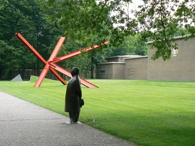 Kröller-Müller MuseumMuseum · 5.2 km from the route
- 2
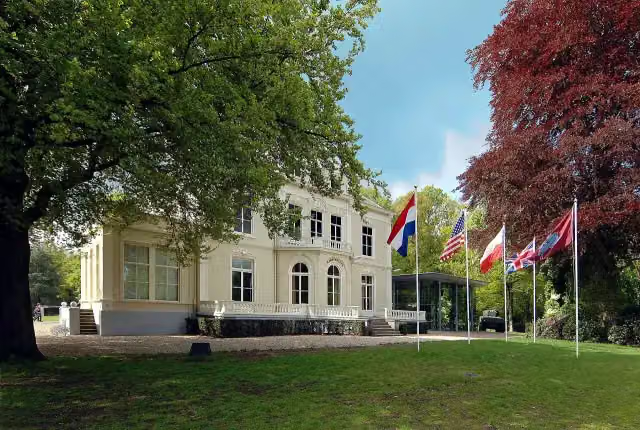 Airborne Museum 'Hartenstein'Museum · 8.3 km from the route
- 3
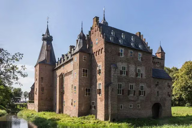 Kasteel DoorwerthCastle · 8.6 km from the route
- 4
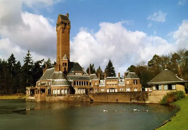 Jachthuis Sint HubertusCastle · 7.9 km from the route
- 5
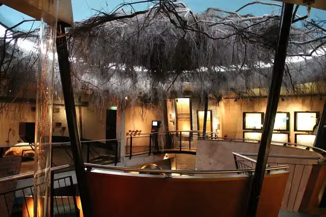 MuseonderMuseum · 6 km from the route
- 6
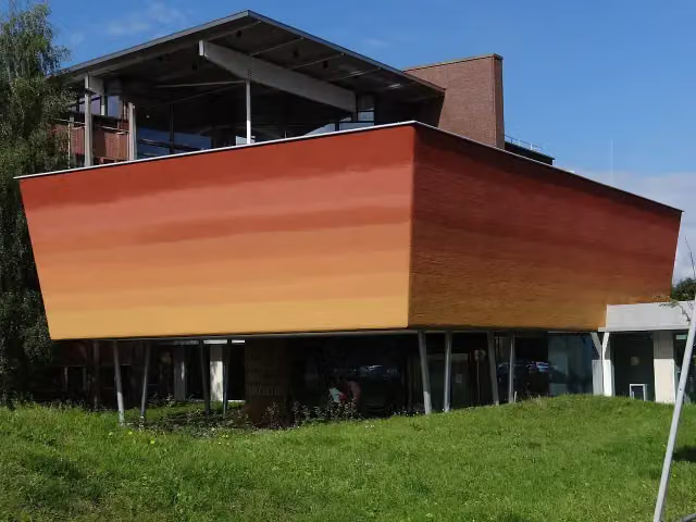 World Soil MuseumMuseum · 7.1 km from the route
- 7
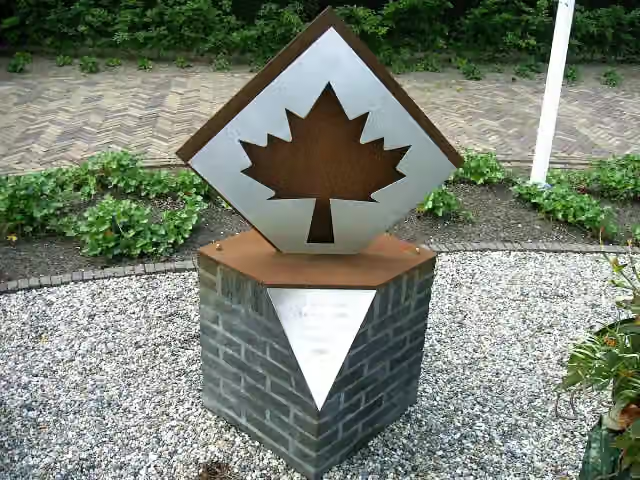 Battle of OtterloMemorial · 3.9 km from the route
- 8
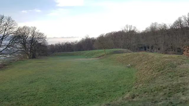 HunneschansArchaeological site · 8.8 km from the route
- 9
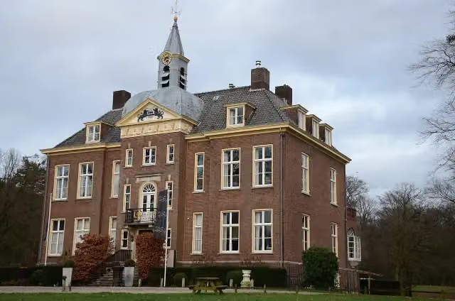 Kasteel HoekelumCastle · 4.1 km from the route
- 10
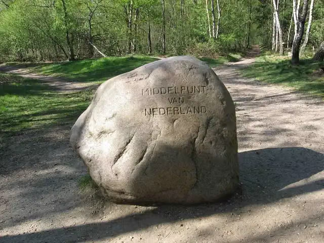 Middelpunt van NederlandViewpoint · 7 km from the route
- 11
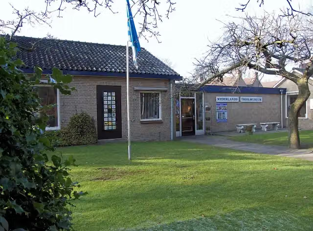 Nederlands TegelmuseumMuseum · 3.5 km from the route
- 12
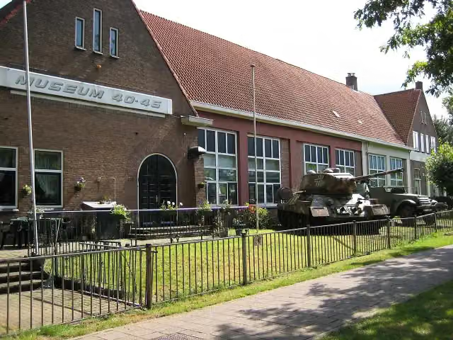 Arnhem War Museum 40 - 45Museum · 8.5 km from the route
- 13
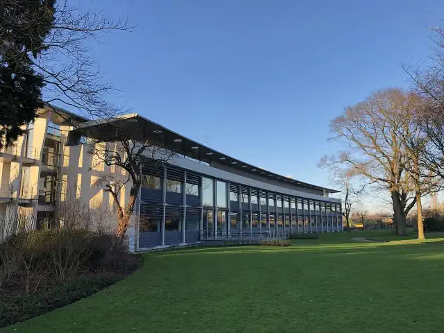 Het DepotMuseum · 8.8 km from the route
- 14
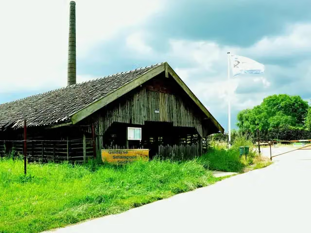 Gelders SmalspoormuseumMuseum · 8.1 km from the route
- 15
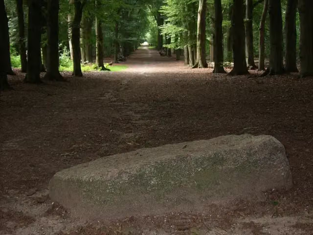 Blood StoneAttraction · 2.9 km from the route
- 16
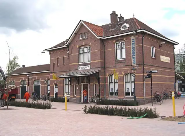 Historisch Museum EdeMuseum · 3.2 km from the route
- 17
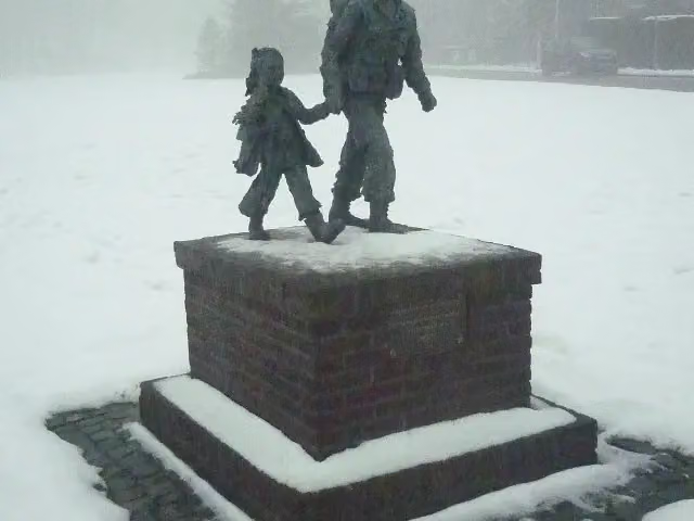 Soldaat met bloemenmeisjeMemorial · 8.3 km from the route
- 18
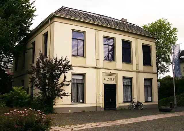 De Casteelse PoortMuseum · 9.3 km from the route
- 19
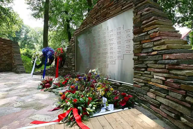 Nationaal BrandweermonumentMonument · 8.3 km from the route
- 20
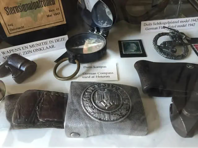 The IslandMuseum · 8.7 km from the route
- 21
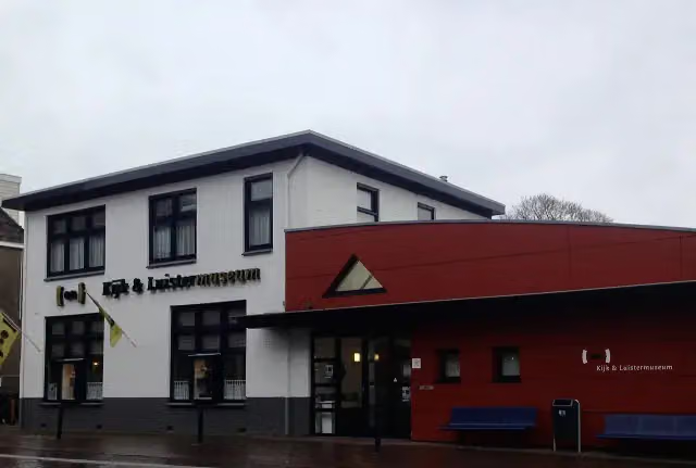 Kijk & LuistermuseumMuseum · 5.8 km from the route
- 22
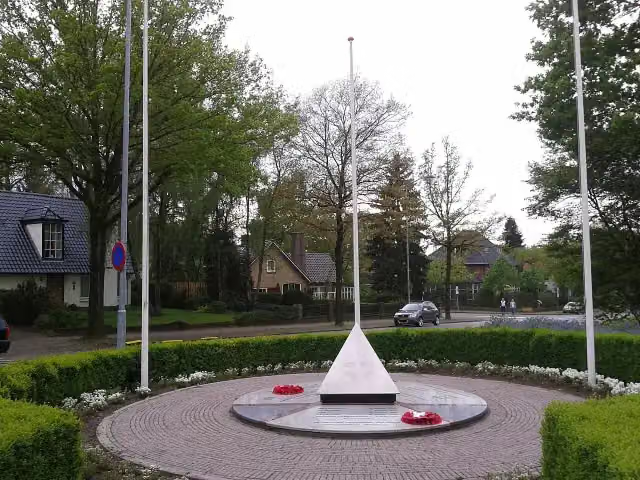 Bevrijdingsmonument EdeMemorial · 2.5 km from the route
- 23
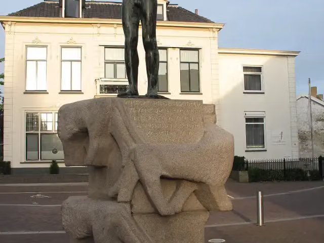 Dutch National Liberation MonumentMemorial · 8.9 km from the route
- 24
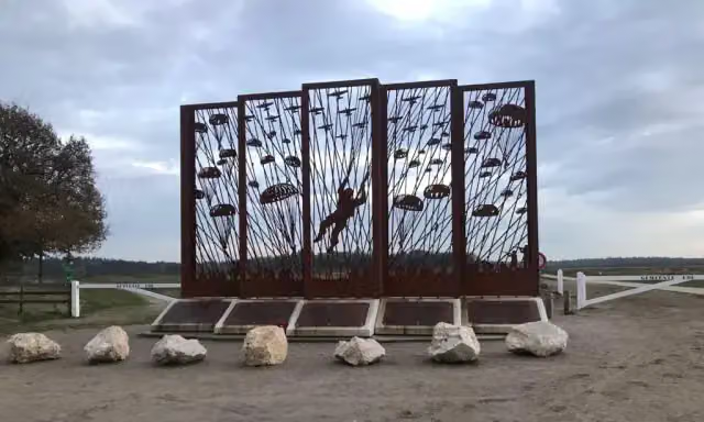 Vensters op het verledenMemorial · 276 m from the route
- 25
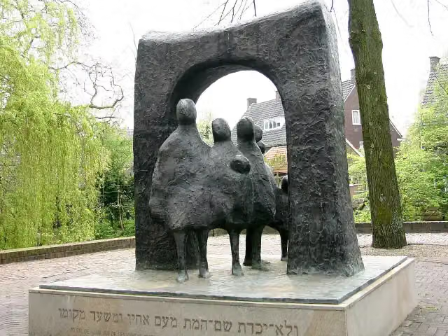 De LevenspoortMemorial · 9.4 km from the route
Explore more
Frequently asked questions
How long is the Kreelsepad walk?
The Kreelsepad walk is 15 km long. It is a local walking route.
Is the Kreelsepad walk in Ede a circular route?
Yes, the Kreelsepad walk is a circular route, so you start and finish in the same place.
How much elevation gain does the Kreelsepad walk have?
On the Kreelsepad walk you climb 100 m and descend 73 m.
What kind of surface does the Kreelsepad walk have?
The Kreelsepad walk is 58% natural surface, 24% gravel and 16% unpaved. It is 82% field or forest track and 18% footpath.
Are there toilets and drinking water along the Kreelsepad walk?
Yes, along the Kreelsepad walk you will find 2 public toilets and 2 water points. There are also 7 benches along the way.
What sights can you see on the Kreelsepad walk?
Along the Kreelsepad walk are the memorial "Belgisch Vluchtelingenkamp V.O.E. 1914-1918" and the Valenberg viewpoint.
Starting point
More routes from this place
Route data © OpenStreetMap contributors





