 Outdoor Pitstop
Walking route · Houten · Updated on 14 November 2026
Klompenpad Lint- en Liniepad walk
Klompenpad Lint- en Liniepad is a walk of 9.8 km from Houten that starts and ends at the same spot. Along the way you'll find 18 benches and 1 water point.
i
i
The route step by step
From start to finish, with what you pass along the way and the distance in between.
- 9.8 km
- ± 2:10 h
- ↑ 8 m · ↓ 9 m
- Easy
- Circular walk
- Local route
- Colour of the signs
This route is in pieces in OpenStreetMap, so there are no kilometres per pitstop. Along the way you'll find 18 benches and 1 water point.
Follow these steps in the appNo public toilet along the wayThere is no public toilet within 100 m of the route. Go before you start, or find one a bit further away in the app.
The route with the pitstops and sights within 100 m of it.
3 sights along the way
In the order you pass them. With the Outdoor Pitstop app you hear their story on the spot.

Fort
- Story
i
Photo: Hijlke E.L. Bakker · Wikimedia Commons · CC BY-SA 3.0 nlView the photo on Wikimedia Commons
Elevation and terrain
- Up
- ↑ 8 m
- Down
- ↓ 9 m
- Highest point
- 10 m
- Lowest point
- -0 m
- 1 flight of stairs
Elevation from AHN (Rijkswaterstaat), smoothed.
Way types
9.8 km in total- Path: 3.8 km
- Road: 1.7 km
- Footpath: 1.6 km
- Cycleway: 1.5 km
- Street: 850 m
- Track: 200 m
- Stairs: 1 flight of stairs
Surfaces
9.8 km in total- Gravel: 3.5 km
- Asphalt: 3 km
- Natural: 1.7 km
- Paved: 500 m
- Unknown: 1 km
About the walking route Klompenpad Lint- en Liniepad
Updated on 14 November 2026, with data from OpenStreetMap, the AHN and Copernicus.
Where do you walk?
Klompenpad Lint- en Liniepad is a circular walk of 9.8 km from Houten: it starts and ends in the same place.
How hard is the route?
The route is almost flat. You climb 8 m in total and descend 9 m. There is 1 flight of steps along the way. Allow ± 2:10 h, without breaks. The level is easy.
What paths do you walk on?
The longest part is path (3.8 km), road (1.7 km) and footpath (1.6 km). Of the surface, 3.5 km gravel and 3 km asphalt. For 1 km the surface is not known.
Pitstops along the way
Within 100 metres of the route there are 18 benches and 1 water point. There is no public toilet within 100 metres of the route. The Outdoor Pitstop app navigates you there.
Lint- en Liniepad: a 9.8 km circular walk
The klompenpad Lint- en Liniepad walk is a local walking route of 9.8 km. It is a circular route, so you start and finish at the same spot and do not need to travel back to the start afterwards. The height difference is small. Over the whole route you climb 8 m and descend 9 m, so you can walk at an easy pace without any steep sections. This page shows the map of the route and the elevation profile. The pit stops along the way are also marked: public toilets, drinking water and benches. That way you can see in advance where to stop, take a sip of water or sit down for a while.
Surface and path types along the way
On the Lint- en Liniepad walk you mostly walk on gravel, which makes up 40% of the route. Asphalt covers 35%, natural ground 20% and other paved surfaces 6%. So you walk more on hard surfaces than on soft ones, and it is worth choosing shoes that feel comfortable on paved stretches too. The type of path also varies. Most of the route is path (39%). You also follow an ordinary road (18%), a footpath (16%), a cycle path (15%) and a street (9%). The map shows where these sections change.
Pitstops and forts along the way
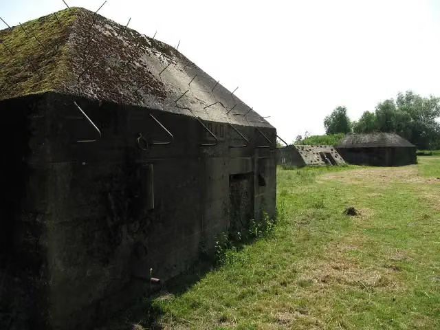
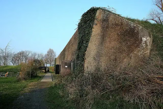
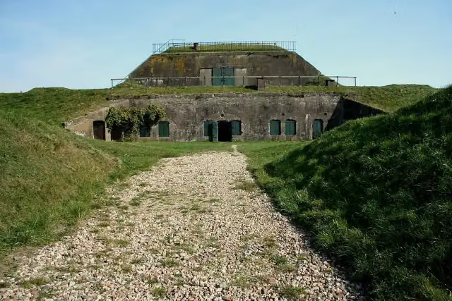
Along the route you will find 1 drinking water point and 18 benches. Fill up your bottle at the tap if it is nearly empty. The benches are spread along the route, so you can often sit down for a moment. You also pass the forts Werk aan de Korte Uitweg, Werk aan de Groeneweg and Fort Honswijk. You do not need to make a detour to see them, as they lie alongside the route. The map shows exactly where they are.
Walks nearby
6Sights nearby
Within 10 km of the route, best known first.
- 1
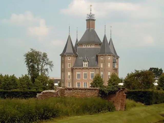 Kasteel HeemstedeCastle · 5.8 km from the route
- 2
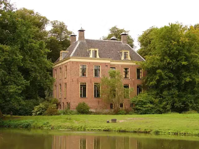 Kasteel RhijnauwenAttraction · 8.3 km from the route
- 3
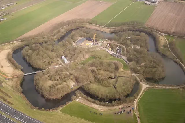 Fort VechtenFort · 7.2 km from the route
- 4
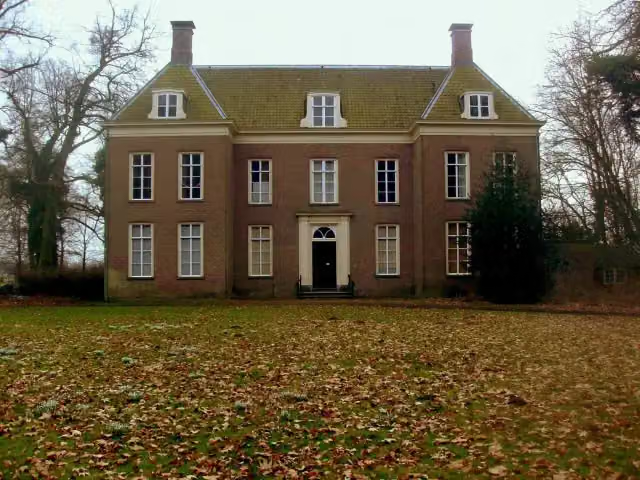 Landhuis Oud AmelisweerdMuseum · 8.2 km from the route
- 5
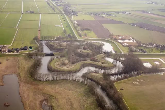 Fort EverdingenAttraction · 905 m from the route
- 6
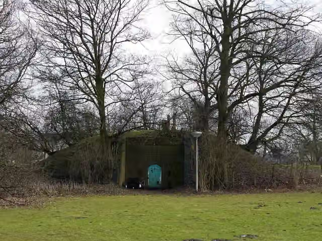 Fort bij JutphaasFort · 7.1 km from the route
- 7
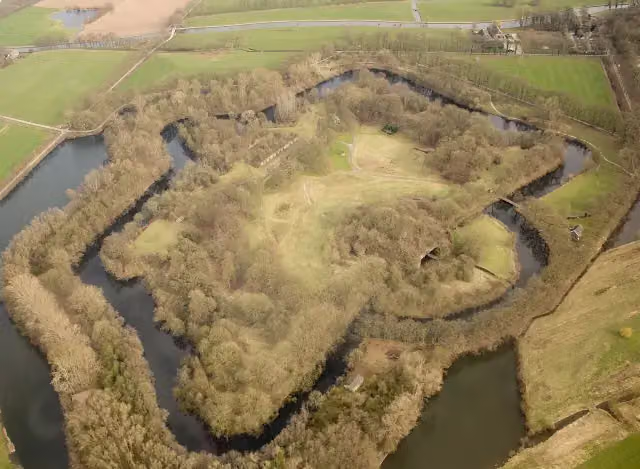 Fort bij RijnauwenFort · 9 km from the route
- 8
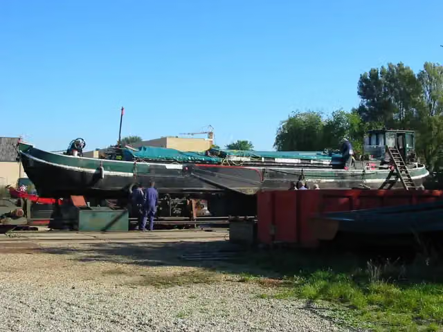 Museum WarfMuseum · 5 km from the route
- 9
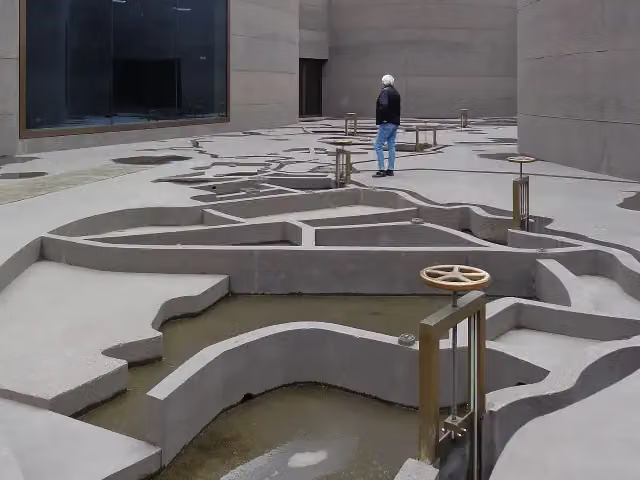 WaterliniemuseumMuseum · 7.2 km from the route
- 10
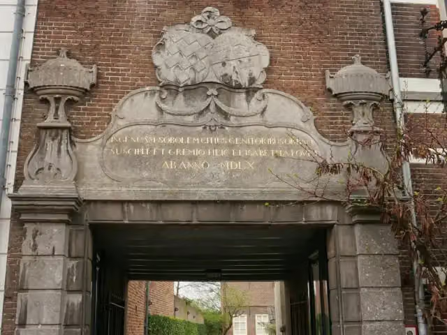 ElisabethweeshuisMuseum · 3 km from the route
- 11
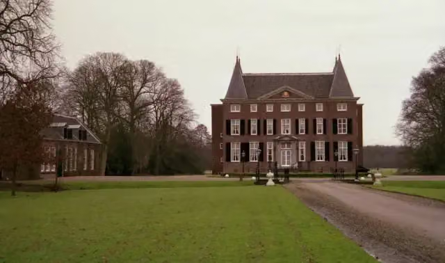 HardenbroekCastle · 6.6 km from the route
- 12
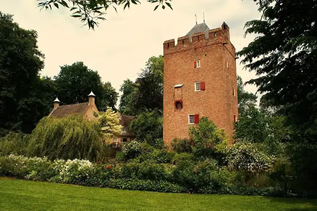 Kasteel LunenburgCastle · 9 km from the route
- 13
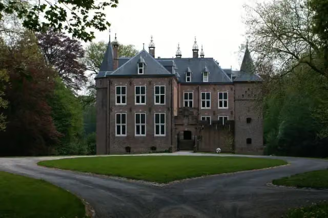 Kasteel MoersbergenCastle · 9.6 km from the route
- 14
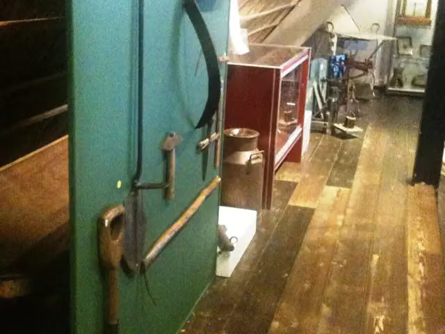 Museum WarsenhoeckMuseum · 6.8 km from the route
- 15
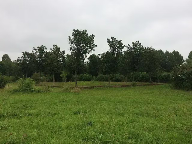 CaetshageArchaeological site · 4.2 km from the route
- 16
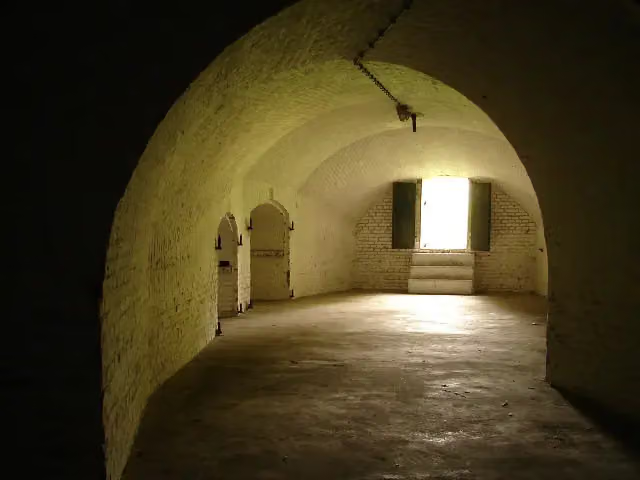 Fort bij 't HemeltjeFort · 6.6 km from the route
- 17
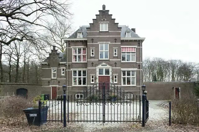 BroekbergenCastle · 8 km from the route
- 18
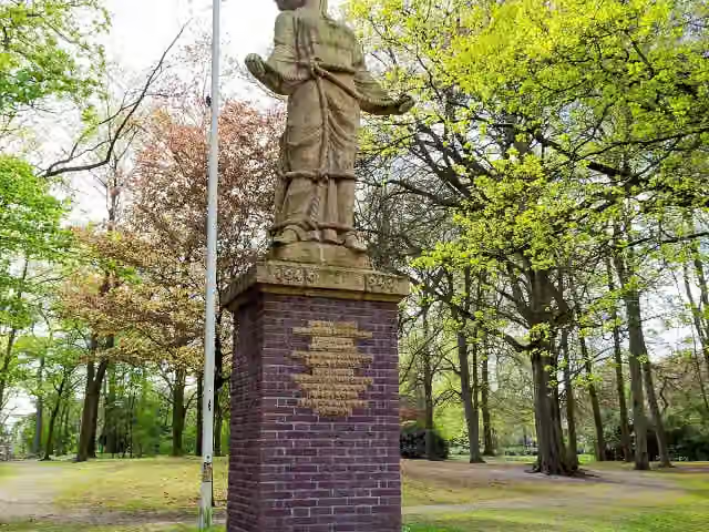 Verzetsmonument 1940-1945Memorial · 9 km from the route
- 19
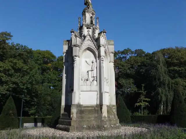 SchaepmanmonumentMemorial · 9.1 km from the route
- 20
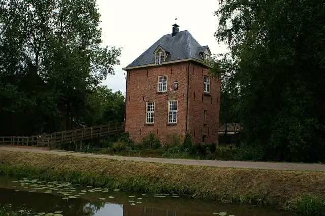 VuylcopCastle · 987 m from the route
- 21
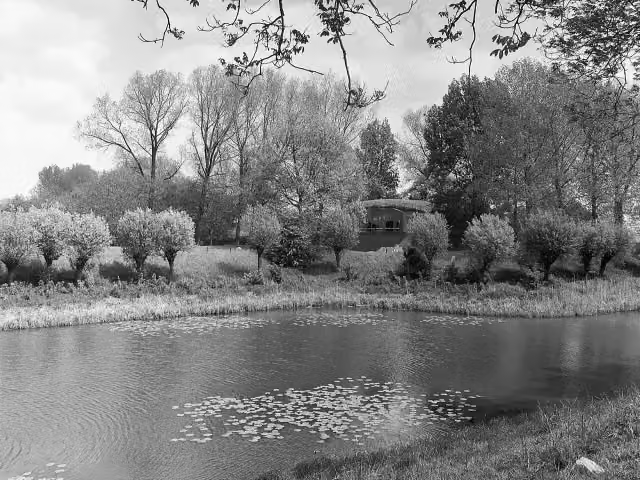 Werk op de Spoorweg bij de DiefdijkFort · 8.9 km from the route
- 22
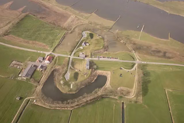 Werk aan het SpoelFort · 1.3 km from the route
- 23
 Werk aan de Waalse WeteringFort · 1.5 km from the route
- 24
 Fort VreeswijkFort · 4.8 km from the route
- 25
 Huis OudegeinCastle · 6.5 km from the route
Explore more
Frequently asked questions
How long is the Lint- en Liniepad walk?
The Lint- en Liniepad walk is 9.8 km long. It is a local walking route.
Is the Lint- en Liniepad walk a circular route?
Yes, the Lint- en Liniepad walk is a circular route. You start and finish in the same place.
How much elevation gain does the Lint- en Liniepad walk have?
The Lint- en Liniepad walk has 8 m of ascent and 9 m of descent. It is therefore a very flat route.
What surface does the Klompenpad Lint- en Liniepad walk have?
The surface is 40% gravel and 35% asphalt. In addition, 20% is natural surface and 6% is paved.
Which forts can you see on the Lint- en Liniepad walk?
Along the route are the Werk aan de Korte Uitweg, the Werk aan de Groeneweg and Fort Honswijk.
Are there benches and drinking water on the Lint- en Liniepad walk?
Yes, there are 18 benches and 1 water point along the route.
Starting point
More routes from this place
Route data © OpenStreetMap contributors





