 Outdoor Pitstop
Walking route · Worms · Updated on 14 November 2026
Via Sancti Martini HW-38 Offstein - Bingen walk
Via Sancti Martini HW-38 Offstein - Bingen is a walk of 122 km from Worms. Along the way you'll find 758 benches, 4 water fountains and refill points, 22 public toilets and 3 bike pumps.
i
The route step by step
From start to finish, with what you pass along the way and the distance in between.
- 122 km
- ± 29:10 h
- ↑ 1,252 m · ↓ 1,267 m
- Hard
- From A to B
- International route
This route is in pieces in OpenStreetMap, so there are no kilometres per pitstop. Along the way you'll find 758 benches, 4 water fountains and refill points, 22 public toilets and 3 bike pumps.
Follow these steps in the appThe route with the pitstops and sights within 100 m of it.
24 sights along the way
In the order you pass them. With the Outdoor Pitstop app you hear their story on the spot. 16 more along the route are on the map.
i
Photo: Wikimedia Commons · Wikimedia Commons · CC BY-SA 3.0View the photo on Wikimedia CommonsCastle
i
Photo: Aidexxx · Wikimedia Commons · CC BY-SA 4.0View the photo on Wikimedia CommonsArchaeological site

i
Photo: Rudolf Stricker · Wikimedia Commons · AttributionView the photo on Wikimedia CommonsCastle
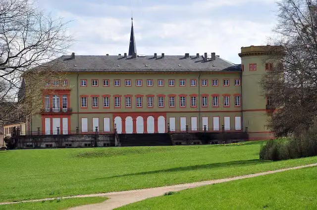
i
Photo: Ulli1105 · Wikimedia Commons · CC BY 3.0View the photo on Wikimedia CommonsCastle

Observation tower
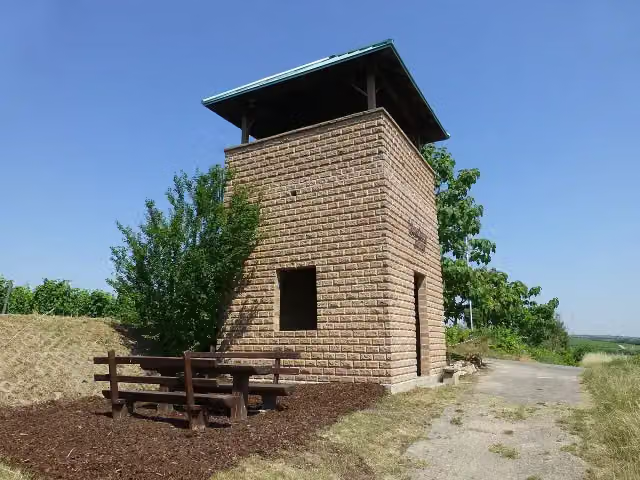
i
Photo: Muck · Wikimedia Commons · CC BY-SA 4.0View the photo on Wikimedia CommonsObservation tower
Observation tower
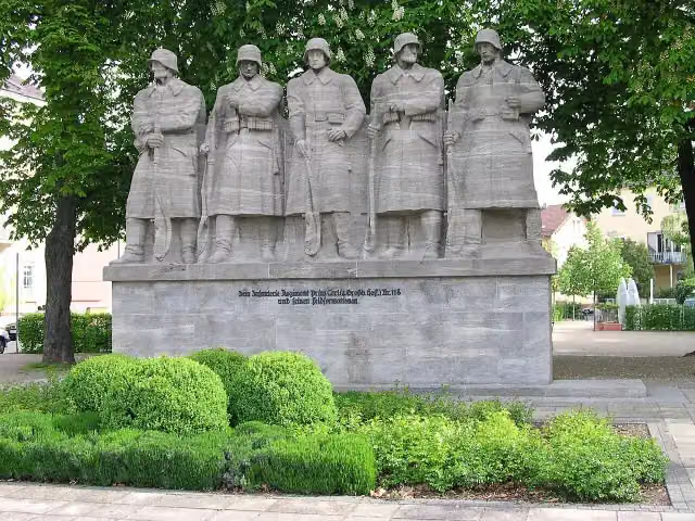
i
Photo: Norbert Schnitzler · Wikimedia Commons · CC BY-SA 3.0View the photo on Wikimedia CommonsMemorial
Elevation and terrain
- Up
- ↑ 1,252 m
- Down
- ↓ 1,267 m
- Highest point
- 253 m
- Lowest point
- 81 m
- 5-10% slope · 11 km
- 10-15% slope · 1.2 km
- 13 stairs
Elevation from Copernicus GLO-30 (European Union and ESA), smoothed.
produced using Copernicus WorldDEM-30 © DLR e.V. 2010-2014 and © Airbus Defence and Space GmbH 2014-2018 provided under COPERNICUS by the European Union and ESA; all rights reserved
Way types
122 km in total- Track: 73.9 km
- Path: 19.1 km
- Street: 15.5 km
- Footpath: 7.9 km
- Road: 3 km
- Busy road: 1.3 km
- Stairs: 13 stairs
- Cycleway: 150 m
Surfaces
122 km in total- Paved: 33.4 km
- Asphalt: 29.5 km
- Unpaved: 15.3 km
- Gravel: 12.5 km
- Natural: 6.4 km
- Unknown: 24.5 km
About the walking route Via Sancti Martini HW-38 Offstein - Bingen
Updated on 14 November 2026, with data from OpenStreetMap, the AHN and Copernicus.
Where do you walk?
Via Sancti Martini HW-38 Offstein - Bingen is a walking route of 122 km that starts in Worms. It does not end where it starts.
How hard is the route?
You climb 1,252 m in total and descend 1,267 m. There are 13 flights of steps along the way. Allow ± 29:10 h, without breaks. The level is hard.
What paths do you walk on?
The longest part is track (73.9 km), path (19.1 km) and street (15.5 km). Of the surface, 33.4 km paved and 29.5 km asphalt. For 24.5 km the surface is not known.
Pitstops along the way
Within 100 metres of the route there are 758 benches, 4 water fountains and refill points, 22 public toilets and 3 bike pumps. The Outdoor Pitstop app navigates you there.
Part of Via Sancti Martini Hauptweg
Walks nearby
6- Lutherweg 1521 (Teilstück Nierstein-Worms)Hard · From A to B42.7 km
- Jakobspilgerweg Rheinhessen Pfalz "Klosterroute Worms-Metz Nordspange"Hard · From A to B91.3 km
- Europäischer Fernwanderweg E8, Rheinland-PfalzHard · From A to B292.2 km
- Odenwaldklub HW 18, Vier-Länder-Weg (Teilstück Donnersberg - Worms)Hard · From A to B40.4 km
- Rheinterrassenweg (Stammstrecke)Hard · From A to B65.5 km
- Odenwaldklub HW 18, Vier-Länder-Weg (Teilstück Worms - Michaelstadt)Hard · From A to B68.5 km
Sights nearby
Within 10 km of the route, best known first.
- 1
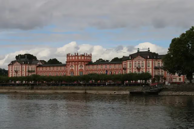 Biebrich PalaceAttraction · 4.1 km from the route
- 2
 Stadtschloss WiesbadenCastle · 8.7 km from the route
- 3
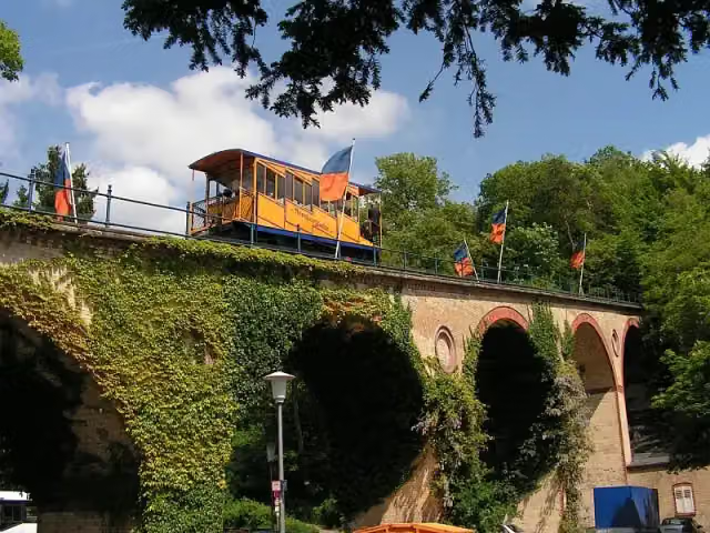 NerotalAttraction · 9.5 km from the route
- 4
 NiederwalddenkmalAttraction · 1.2 km from the route
- 5
 Burg RheinsteinCastle · 3.5 km from the route
- 6
 Old Jewish cemetery “Holy Sand”Attraction · 393 m from the route
- 7
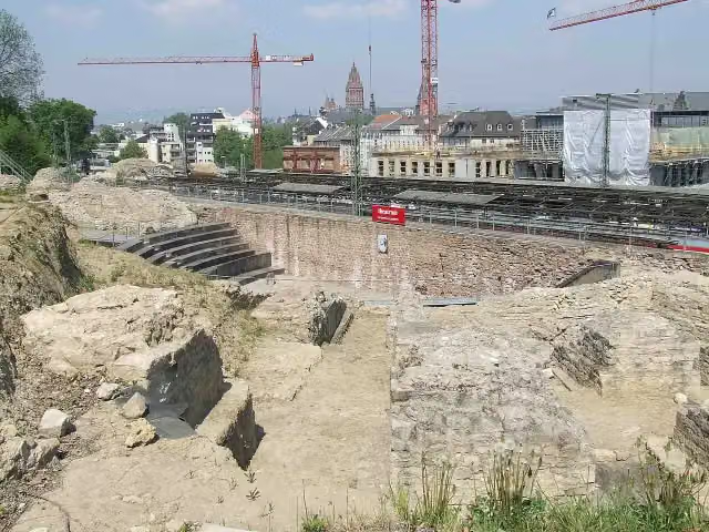 Roman Theatre Archaeological SiteArchaeological site · 426 m from the route
- 8
 Kurfürstliches SchlossCastle · 845 m from the route
- 9
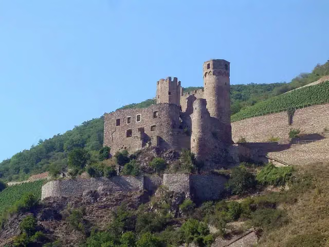 EhrenfelsCastle · 1 km from the route
- 10
 DrosselgasseAttraction · 1.3 km from the route
- 11
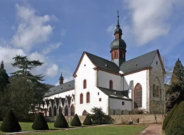 KlosterkircheAttraction · 7.2 km from the route
- 12
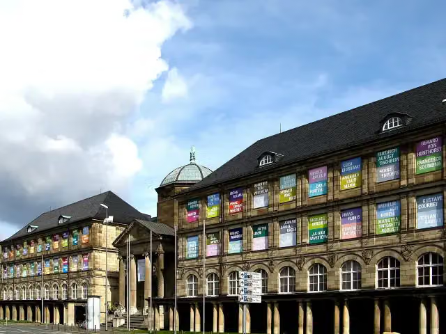 Museum WiesbadenMuseum · 8.3 km from the route
- 13
 Russian Orthodox Church of Saint Elizabeth in WiesbadenAttraction · 10 km from the route
- 14
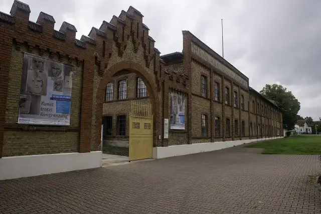 Concentration Camp Memorial OsthofenMemorial · 438 m from the route
- 15
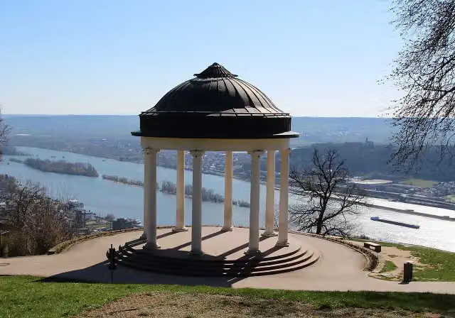 TempleAttraction · 1.3 km from the route
- 16
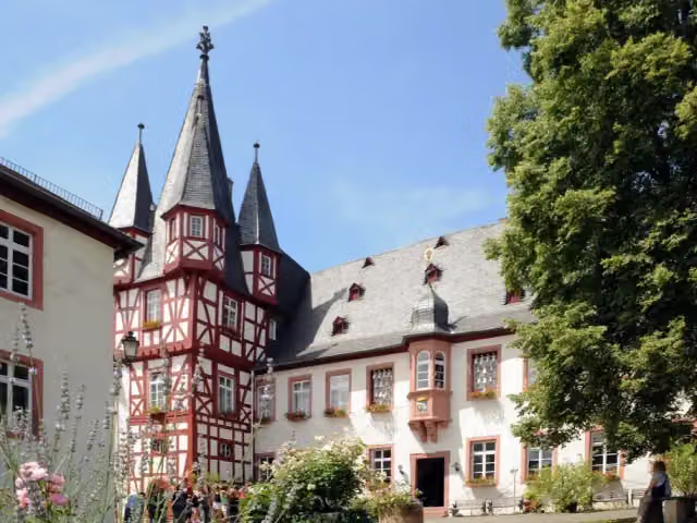 Siegfried's Mechanical Music CabinetMuseum · 1.4 km from the route
- 17
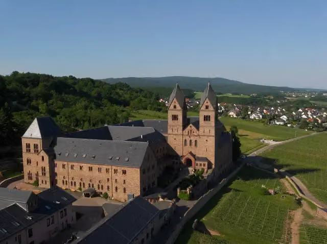 Eibingen AbbeyAttraction · 2.9 km from the route
- 18
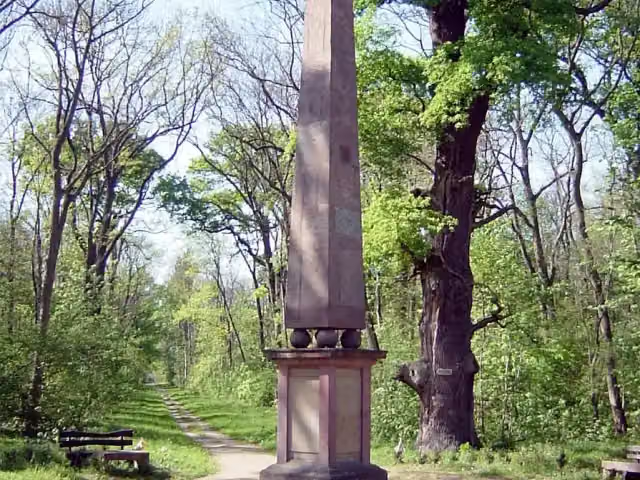 SchwedensäuleMemorial · 5 km from the route
- 19
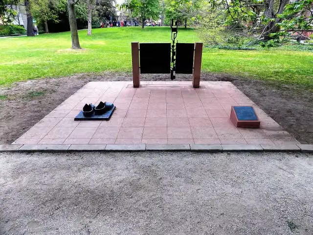 Die Großen Schuhe LuthersMemorial · 112 m from the route
- 20
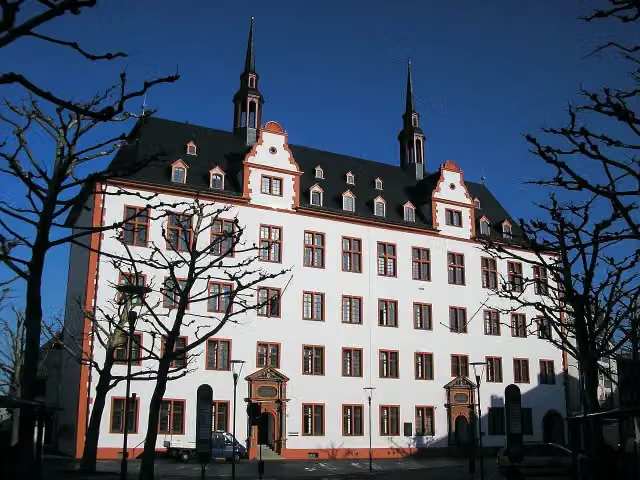 Alte UniversitätAttraction · 114 m from the route
- 21
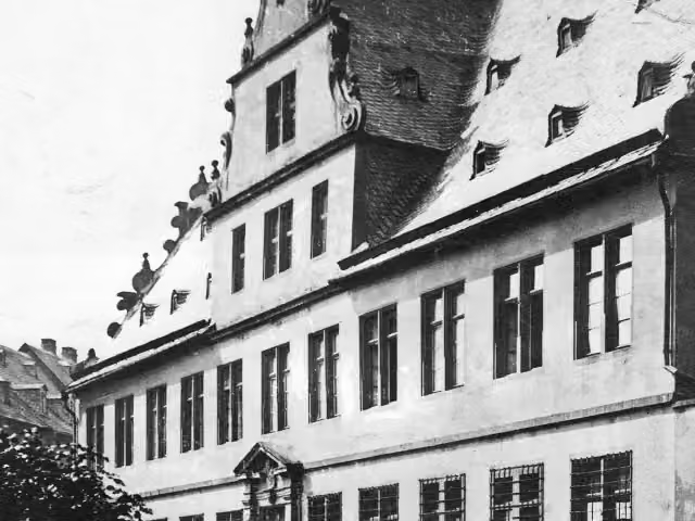 Gartenportal des ehemaligen Bischöflichen PalaisMemorial · 126 m from the route
- 22
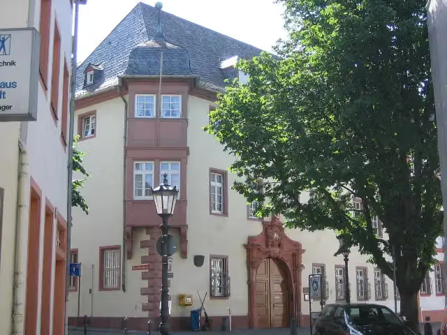 Älterer Dalberger HofCastle · 137 m from the route
- 23
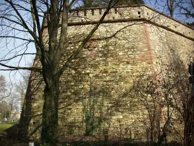 Bastion AlexanderFort · 144 m from the route
- 24
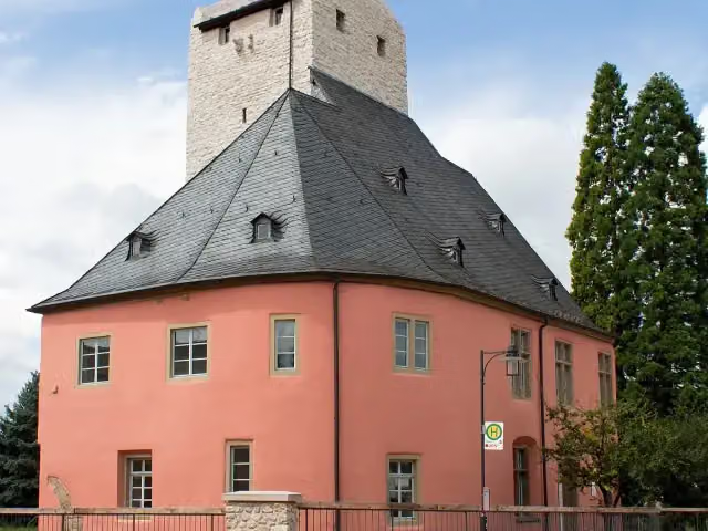 Burg Windeck HeidesheimCastle · 148 m from the route
- 25
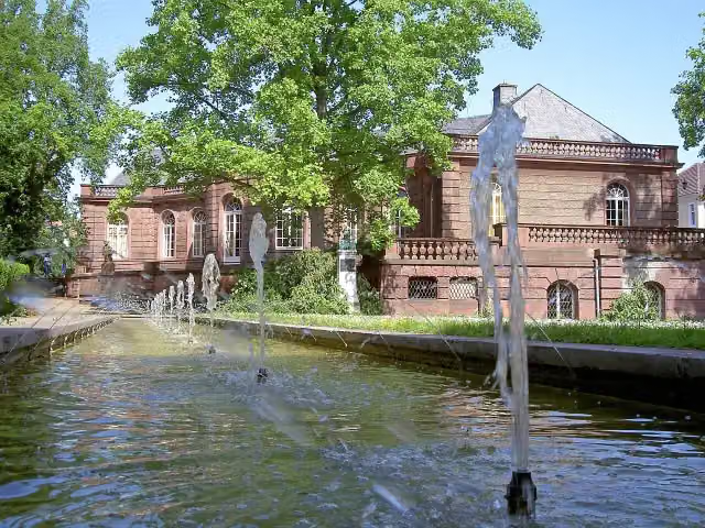 Museum HeylshofMuseum · 150 m from the route
Explore more
Frequently asked questions
How long is Via Sancti Martini HW-38 Offstein - Bingen?
Via Sancti Martini HW-38 Offstein - Bingen is 122 km long. Allow ± 29:10 h of walking: 4.5 km an hour and 10 minutes more per 100 metres of climbing, without breaks.
Is this route a circular walk?
No, the route starts and ends at different spots.
Where does this route start?
The route starts in Worms.
How hard is this route?
Hard, with 1,252 m of climbing.
Are there toilets along this route?
Yes, there are 22 public toilets within 100 m of the route.
Can you fill up with water along this route?
Yes, there are 4 water fountains and refill points within 100 m of the route.
What is there to see along this route?
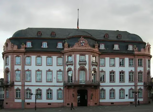
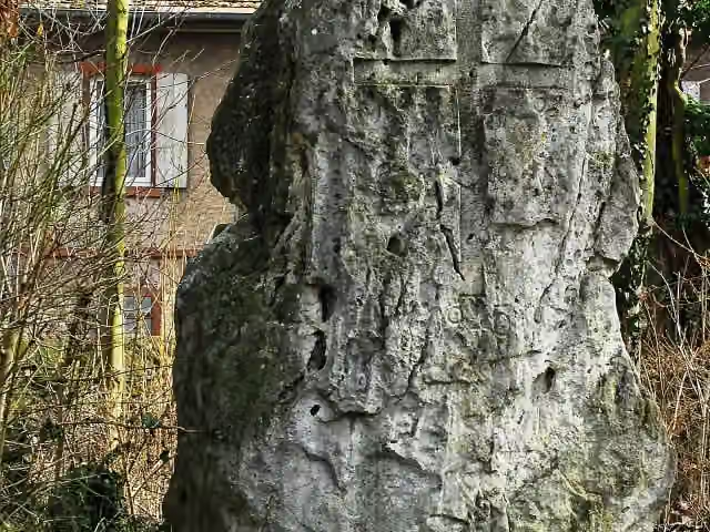
Along the way you pass Osteiner Hof, Menhir von Nierstein and Schloss Waldthausen.
Can I download this route as a GPX file?
Yes. Sign in with your Outdoor Pitstop account and choose Download GPX at the top of this page: 10 routes a month for free, unlimited with Pro.
Starting point
More routes from this place
Route data © OpenStreetMap contributors





