 Outdoor Pitstop
Cycle routes near Amsterdam
1-7 of 7 cycle routes
Within 10 km of Amsterdam, nearest first.
Sort: Nearest first
- 1
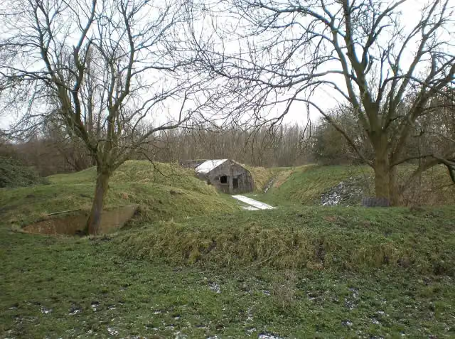
LF Zuiderzeeroute - 08 - Spakenburg - Amsterdam
50.3 km · From A to B
± 3:20 hModerate
184benches and picnic tables4public toilets6water fountains and refill points
- 2
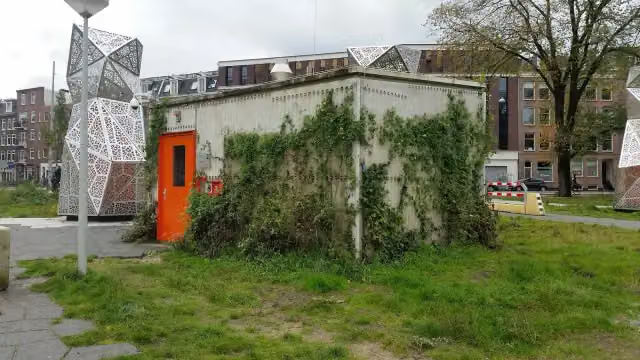
Stadhaven route
6.5 km · Circular ride
± 25 minEasy
185benches and picnic tables2public toilets6water fountains and refill points
- 3
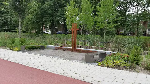
F200
16.3 km · From A to B
± 1:05 hEasy
137benches and picnic tables2public toilets3water fountains and refill points
- 4
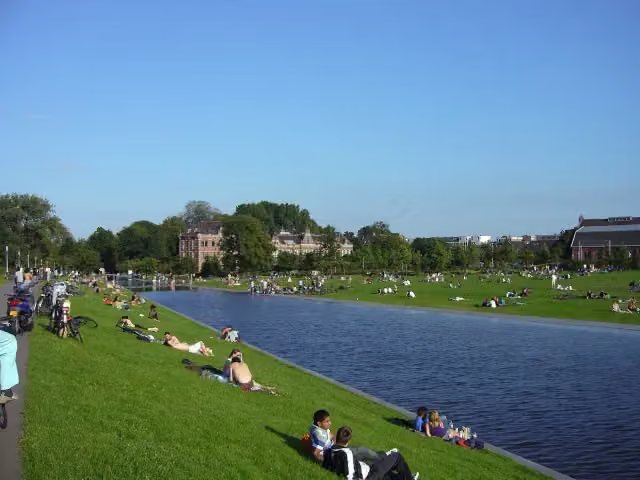
G200
4.3 km · From A to B
± 15 minEasy
109benches and picnic tables2public toilets2water fountains and refill points
- 5
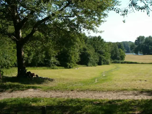
Fietsroute Amsterdamse Bos
13.5 km · Circular ride
± 55 minEasy
72benches and picnic tables4public toilets8water fountains and refill points
- 6
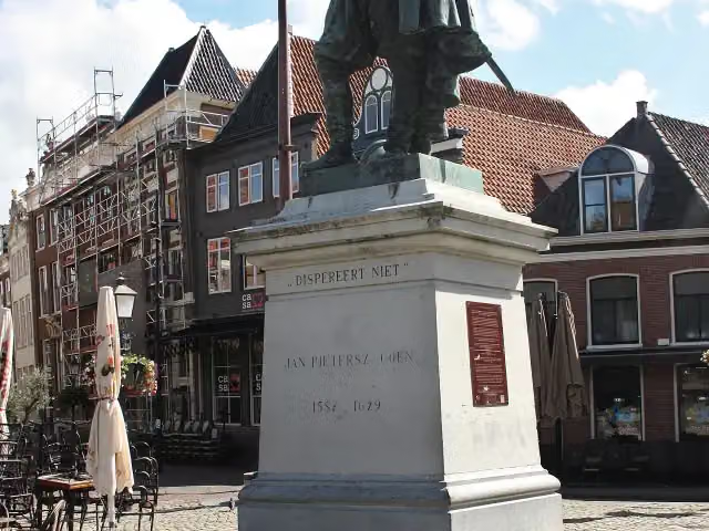
LF Zuiderzeeroute - 01 - Amsterdam - Hoorn
49.6 km · From A to B
± 3:20 hModerate
126benches and picnic tables13public toilets8water fountains and refill points
- 7
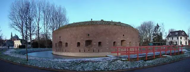
Electric Freeway
23.8 km · From A to B
± 1:35 hEasy
100benches and picnic tables2public toilets3water fountains and refill points
Cycle routes per province and place
Per province the places with the most routes. The province itself has them all.
North Holland
25 routes ›- Amsterdam10 ›
- Beverwijk8 ›
- Bergen7 ›
- Velsen7 ›
- Castricum7 ›
- Heemskerk7 ›
- Hollands Kroon7 ›
- Den Helder6 ›
- Gooise Meren6 ›
- Bloemendaal5 ›
Gelderland
67 routes ›- Arnhem18 ›
- Bronckhorst15 ›
- Brummen14 ›
- Lochem12 ›
- Lingewaard12 ›
- Nijmegen11 ›
- Berkelland11 ›
- Berg en Dal11 ›
- Wageningen10 ›
- Rheden9 ›
Limburg
28 routes ›- Venlo13 ›
- Horst aan de Maas8 ›
- Peel en Maas8 ›
- Maastricht7 ›
- Maasgouw5 ›
- Mook en Middelaar5 ›
- Sittard-Geleen4 ›
- Leudal4 ›
- Roermond4 ›
- Meerssen4 ›
North Brabant
42 routes ›- Breda8 ›
- Altena8 ›
- Son en Breugel8 ›
- Woensdrecht8 ›
- Roosendaal7 ›
- Bergen op Zoom7 ›
- Eindhoven6 ›
- 's-Hertogenbosch6 ›
- Hilvarenbeek6 ›
- Best6 ›
Overijssel
44 routes ›- Enschede9 ›
- Ommen8 ›
- Zwolle7 ›
- Hardenberg7 ›
- Losser7 ›
- Hengelo6 ›
- Dinkelland6 ›
- Hof van Twente6 ›
- Borne6 ›
- Deventer5 ›
South Holland
69 routes ›- Rotterdam23 ›
- Zoetermeer20 ›
- Wassenaar16 ›
- The Hague14 ›
- Voorne aan Zee14 ›
- Barendrecht12 ›
- Westland10 ›
- Bodegraven-Reeuwijk10 ›
- Alphen aan den Rijn9 ›
- Albrandswaard9 ›





