 Outdoor Pitstop
Cycle route · Weil am Rhein · Updated on 14 November 2026
EuroVelo 5 - Via Romea Francigena - part Germany 2 cycle route
EuroVelo 5 - Via Romea Francigena - part Germany 2 is a cycle route of 587 m from Weil am Rhein. Along the way you'll find 8 benches, 1 water point, 2 public toilets and 1 bike pump.
The route step by step
From start to finish, with what you pass along the way and the distance in between.
- 587 m
- ± 5 min
- ↑ 0 m · ↓ 0 m
- Easy
- From A to B
- International route
- Colour of the signs
Start in Weil am Rhein
0 km226 m · 7 benches
2 public toilets, water point and bike pump
226 m361 m · bench
Finish
587 m
Longest stretch without a toilet: 285 mBetween 0 km and 285 m there is no public toilet within 100 m of the route.
The route with the pitstops and sights within 100 m of it.
Elevation and terrain
- Up
- ↑ 0 m
- Down
- ↓ 0 m
- Highest point
- 252 m
- Lowest point
- 247 m
Nowhere steeper than 5%.
Elevation from Copernicus GLO-30 (European Union and ESA), smoothed.
produced using Copernicus WorldDEM-30 © DLR e.V. 2010-2014 and © Airbus Defence and Space GmbH 2014-2018 provided under COPERNICUS by the European Union and ESA; all rights reserved
Way types
587 m in total- Path: 225 m
- Busy road: 200 m
- Street: 151 m
Surfaces
587 m in total- Asphalt: 351 m
- Paved: 225 m
About the cycle route EuroVelo 5 - Via Romea Francigena - part Germany 2
Updated on 14 November 2026, with data from OpenStreetMap, the AHN and Copernicus.
Where do you cycle?
EuroVelo 5 - Via Romea Francigena - part Germany 2 is a cycle route of 587 m that starts in Weil am Rhein. It does not end where it starts. You start in Weil am Rhein DE/FR and finish in Weil am Rhein DE/CH.
How hard is the route?
The route is almost flat. You climb 0 m in total and descend 0 m. Allow ± 5 min, without breaks. The level is easy.
What roads do you cycle on?
The longest part is path (225 m), busy road (200 m) and street (151 m). Of the surface, 351 m asphalt and 225 m paved.
Pitstops along the way
Within 100 metres of the route there are 8 benches, 1 water point, 2 public toilets and 1 bike pump. You can fill your bottle after 278 m. The longest stretch without a toilet is 285 m. The Outdoor Pitstop app navigates you there.
Part of EuroVelo 5 - Via Romea Francigena
Website of the routeCycle routes nearby
3Sights nearby
Within 10 km of the route, best known first.
- 1
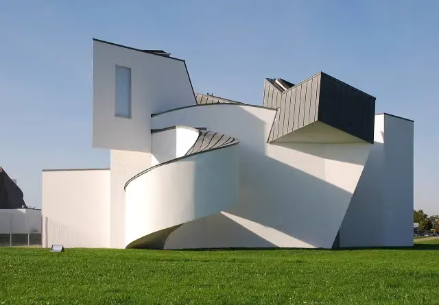 Vitra Design Museum, Frank Gehry (1989)Museum · 2.2 km from the route
- 2
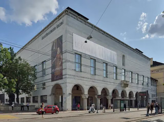 Kunstmuseum Basel | NeubauMuseum · 3.8 km from the route
- 3
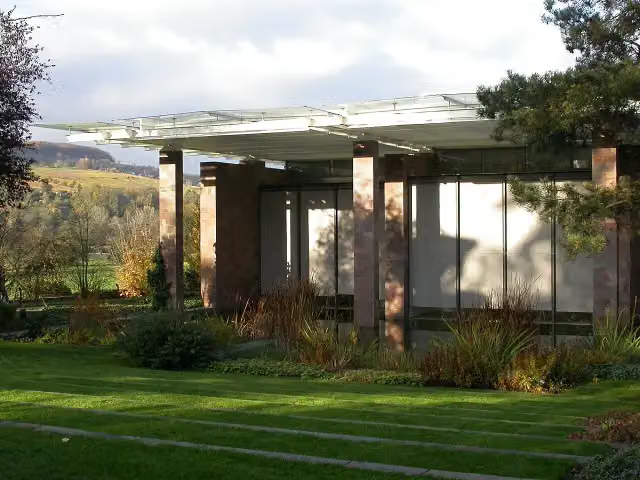 Fondation BeyelerMuseum · 4.3 km from the route
- 4
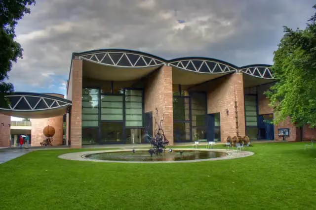 Museum TinguelyMuseum · 3.6 km from the route
- 5
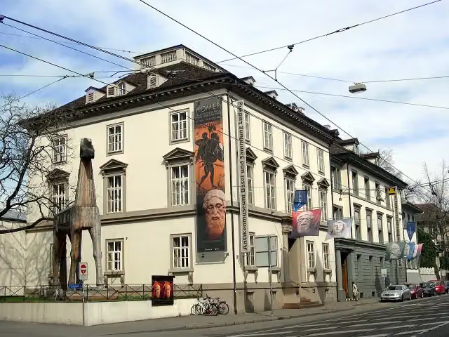 Antikenmuseum Basel und Sammlung LudwigMuseum · 3.8 km from the route
- 6
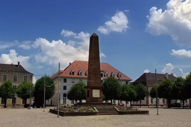 Monument du Général AbbatucciMemorial · 417 m from the route
- 7
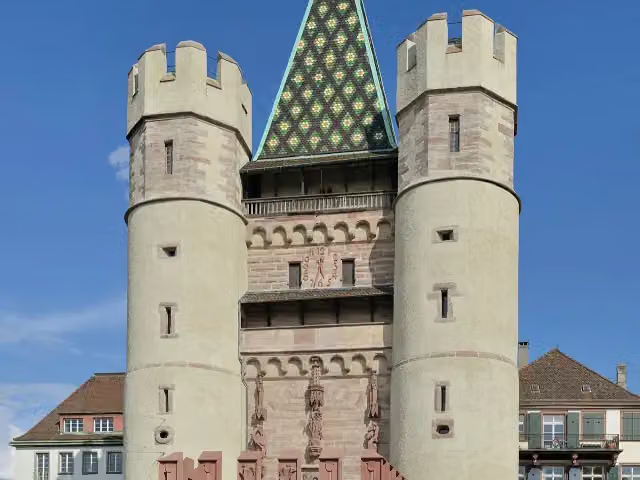 SpalentorAttraction · 3.6 km from the route
- 8
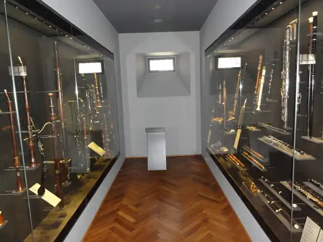 Basel Historical Museum – MusikmuseumMuseum · 3.8 km from the route
- 9
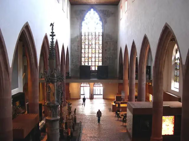 Basel Historical Museum – BarfüsserkircheMuseum · 3.8 km from the route
- 10
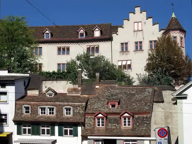 Medieval city wall tower in BaselArchaeological site · 3.9 km from the route
- 11
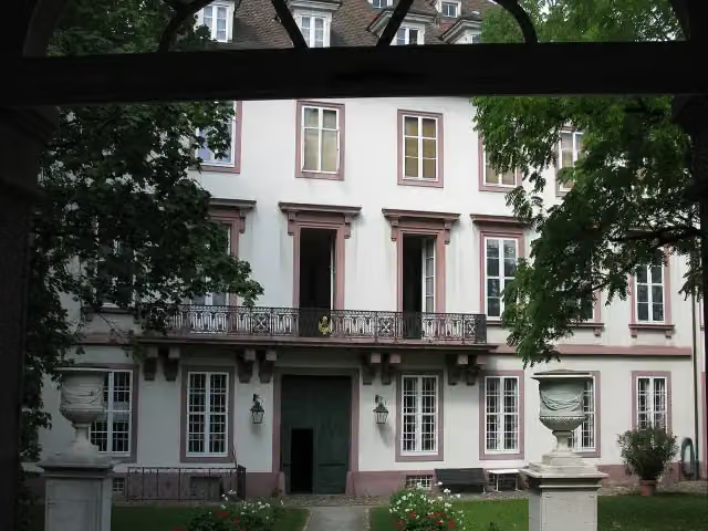 Basel Historical Museum – Haus zum KirschgartenMuseum · 4.1 km from the route
- 12
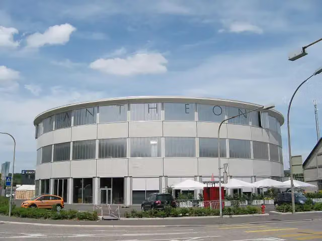 PantheonMuseum · 6.4 km from the route
- 13
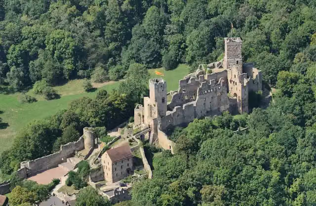 Rötteln CastleCastle · 7.6 km from the route
- 14
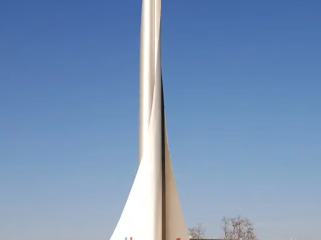 DreiländereckAttraction · 273 m from the route
- 15
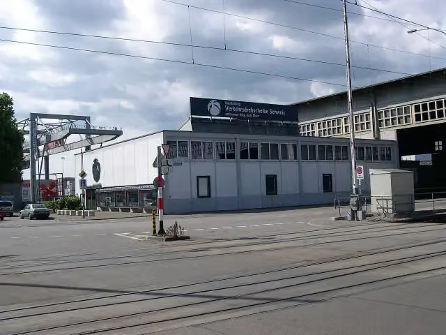 Hafenmuseum BaselMuseum · 759 m from the route
- 16
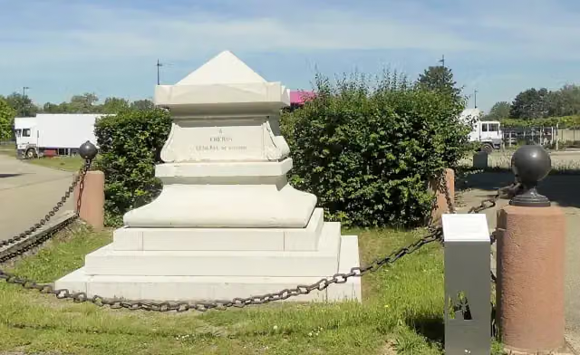 Monument du Général ChérinMonument · 955 m from the route
- 17
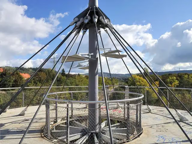 SchlaichturmObservation tower · 1.7 km from the route
- 18
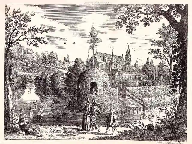 Wasserschloss HiltelingenArchaeological site · 2 km from the route
- 19
 Landscape Formation One (Hadid-Pavillon)Attraction · 2.1 km from the route
- 20
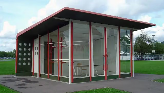 Tankstelle, Jean Prouvé (1953/2003)Attraction · 2.1 km from the route
- 21
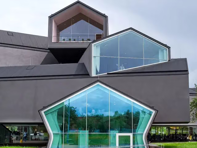 Vitra HausAttraction · 2.2 km from the route
- 22
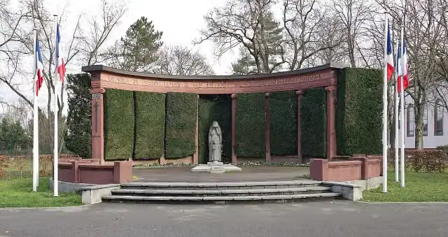 Monument aux MortsMemorial · 2.3 km from the route
- 23
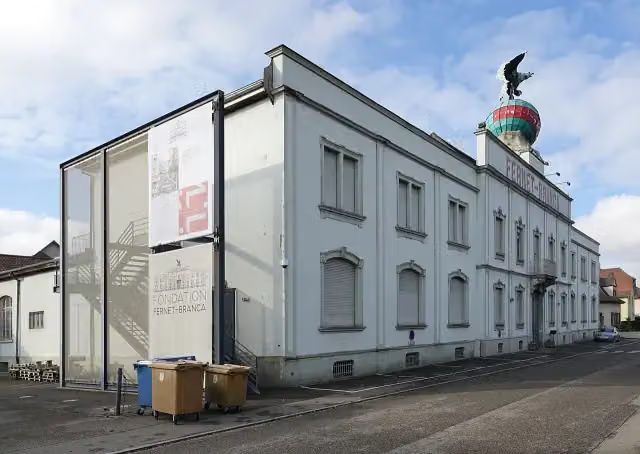 MuseumMuseum · 2.4 km from the route
- 24
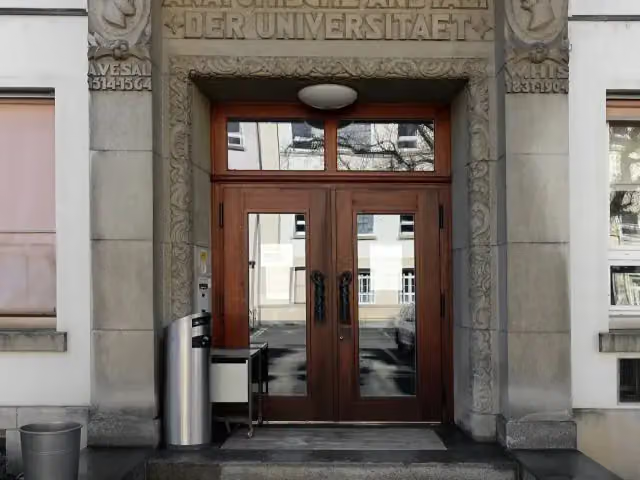 Anatomisches MuseumMuseum · 2.9 km from the route
- 25
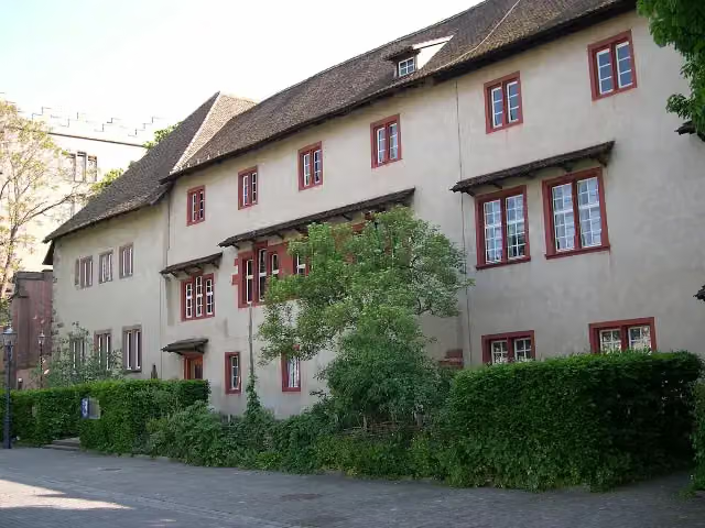 Museum Kleines KlingentalMuseum · 3 km from the route
Explore more
More cycle routes around Weil am Rhein
Frequently asked questions
How long is EuroVelo 5 - Via Romea Francigena - part Germany 2?
EuroVelo 5 - Via Romea Francigena - part Germany 2 is 587 m long. Allow ± 5 min of riding: 15 km an hour, without breaks.
Is this route a circular ride?
No, the route runs from Weil am Rhein DE/FR to Weil am Rhein DE/CH.
Where does this route start?
The route starts in Weil am Rhein.
How hard is this route?
Easy.
Are there toilets along this route?
Yes, there are 2 public toilets within 100 m of the route. The longest stretch without a toilet is 285 m.
Can you fill up with water along this route?
Yes, there are 1 water point within 100 m of the route.
Can I download this route as a GPX file?
Yes. Sign in with your Outdoor Pitstop account and choose Download GPX at the top of this page: 10 routes a month for free, unlimited with Pro.
Starting point
More routes from this place
Route data © OpenStreetMap contributors





