 Outdoor Pitstop
Cycle route · Verden (Aller) · Updated on 14 November 2026
Aller-Radweg cycle route
Aller-Radweg is a cycle route of 251.6 km from Verden (Aller). Along the way you'll find 369 benches, 4 water fountains and refill points, 30 public toilets and 4 bike pumps.
i
i
The route step by step
From start to finish, with what you pass along the way and the distance in between.
- 251.6 km
- ± 5:35 h per stage
- ↑ 630 m · ↓ 475 m
- Hard per stage
- From A to B
- Regional route
Start in Verden (Aller)
0 km604 m · 11 benches

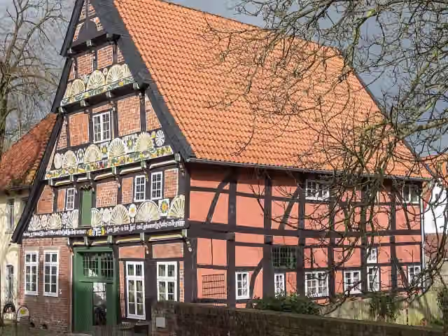
Ackerbürgerhaus
604 mAttraction
20 km · 22 benches
Water point
20.6 km6.9 km · 4 benches
Burghof Rethem
27.6 kmCastle
3.4 km · 3 benches
Public toilet
31 km11.6 km · 9 benches
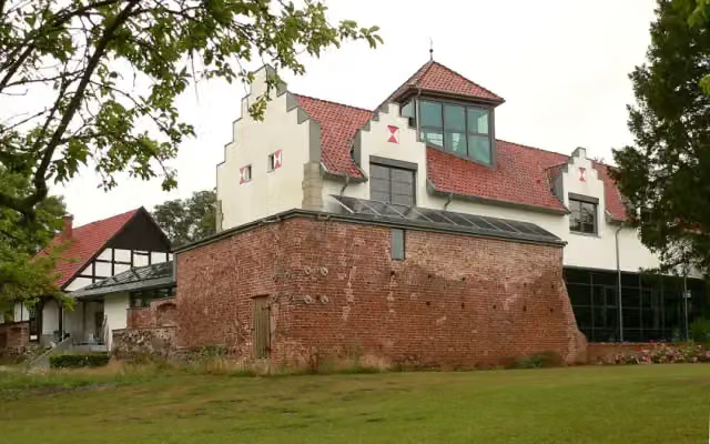
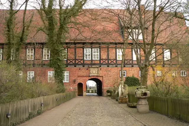
Schloss Ahlden
42.6 kmCastle
11.2 km · 2 benches
Public toilet
53.8 km7.6 km · 14 benches
Public toilet
61.3 km28.8 km · 12 benches
Bike pump
90.1 km6.7 km · 9 benches
2 bike pumps
96.8 km10.7 km · 46 benches
Public toilet
107.6 km2.6 km · 2 benches
Public toilet
110.2 km34.5 km · 27 benches
2 public toilets
144.7 km1 km · 10 benches
Kavalierhaus
145.7 km2 public toilets and water point
760 m · 14 benches
Water point
146.5 km658 m
Müller-Turm
147.1 kmObservation tower
7.4 km · 5 benches
Public toilet
154.5 km11.7 km · 14 benches
Hoffmann-von-Fallersleben-Museum and 1 more
166.2 kmSchloss Fallersleben and 2 public toilets
162 m · 2 benches
Altes Brauhaus zu Fallersleben
166.4 kmAttraction
6 km · 56 benches
Planetarium Wolfsburg
172.4 kmPublic toilet
387 m · 4 benches
Kunstmuseum Wolfsburg
172.8 km2 public toilets
221 m · bench
3 public toilets
173 km1 km · 13 benches
Zwangsarbeiter-Denkmal
174 km2 public toilets
208 m · 3 benches
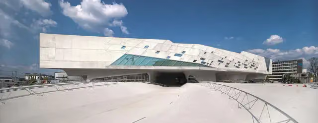
phaeno
174.2 km2 public toilets
231 m · 3 benches
2 public toilets and bike pump
174.5 km194 m
2 public toilets
174.7 km295 m · 2 benches
Public toilet
175 km424 m
Public toilet
175.4 km665 m · bench
Wolfsburg Castle
176 kmAttraction
437 m · 7 benches
Public toilet
176.5 km
Show the other 4 steps
35.9 km · 46 benches
Water point
212.4 km452 m
Public toilet
212.8 km30.3 km · 21 benches
Burg Ummendorf and 1 more
243.1 kmBörde-Museum Burg Ummendorf
8.5 km · 4 benches
Finish
251.6 km
Longest stretch without a toilet: 46.2 kmBetween 61.3 km and 107.6 km there is no public toilet within 100 m of the route.
The route with the water points, toilets and sights within 100 m of it.
15 sights along the way
In the order you pass them. With the Outdoor Pitstop app you hear their story on the spot. 7 more along the route are on the map.
i
Photo: JoachimKohler-HB · Wikimedia Commons · CC BY-SA 4.0View the photo on Wikimedia CommonsAttraction · after 604 m
Castle · after 27.6 km
Castle · after 42.6 km

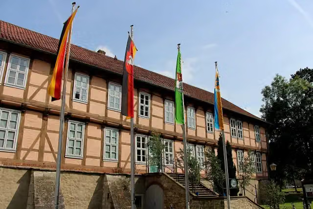
Attraction · after 145.9 km
Observation tower · after 147.1 km
i
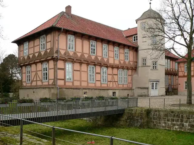
Photo: Ziko van Dijk · Wikimedia Commons · CC BY-SA 4.0View the photo on Wikimedia CommonsMuseum · after 166.4 km
i
Photo: Axel Hindemith · Wikimedia Commons · CC BY-SA 4.0View the photo on Wikimedia CommonsCastle · after 166.4 km
Attraction · after 166.4 km
Stages (3)
Elevation and terrain
- Up
- ↑ 630 m
- Down
- ↓ 475 m
- Highest point
- 187 m
- Lowest point
- 13 m
- 5-10% slope · 778 m
Elevation from Copernicus GLO-30 (European Union and ESA), smoothed.
produced using Copernicus WorldDEM-30 © DLR e.V. 2010-2014 and © Airbus Defence and Space GmbH 2014-2018 provided under COPERNICUS by the European Union and ESA; all rights reserved
Way types
251.6 km in total- Track: 77.9 km
- Road: 55.3 km
- Path: 48.4 km
- Street: 42 km
- Footpath (walk your bike): 12.9 km
- Busy road: 12.6 km
- Cycle path: 2 km
Surfaces
251.6 km in total- Asphalt: 107.8 km
- Paved: 60.7 km
- Gravel: 54.3 km
- Unpaved: 4 km
- Natural: 50 m
- Unknown: 24.2 km
About the cycle route Aller-Radweg
Updated on 14 November 2026, with data from OpenStreetMap, the AHN and Copernicus.
Where do you cycle?
Aller-Radweg is a cycle route of 251.6 km that starts in Verden (Aller). It does not end where it starts. Along the way you pass Ackerbürgerhaus (after 604 m), Burghof Rethem (after 27.6 km) and Schloss Ahlden (after 42.6 km).
How hard is the route?
You climb 630 m in total and descend 475 m. Allow ± 5:35 h per stage, without breaks. Per stage the level is hard.
What roads do you cycle on?
The longest part is track (77.9 km), road (55.3 km) and path (48.4 km). Of the surface, 107.8 km asphalt and 60.7 km paved. For 24.2 km the surface is not known.
Pitstops along the way
Within 100 metres of the route there are 369 benches, 4 water fountains and refill points, 30 public toilets and 4 bike pumps. You can fill your bottle after 20.6 km, after 145.8 km, after 146.5 km and after 212.4 km. The longest stretch without a toilet is 46.2 km. The Outdoor Pitstop app navigates you there.
Cycle routes nearby
6Sights nearby
Within 10 km of the route, best known first.
- 1
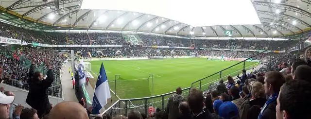 Volkswagen ArenaAttraction · 333 m from the route
- 2
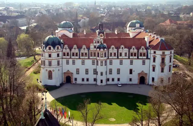 Schloss CelleAttraction · 508 m from the route
- 3
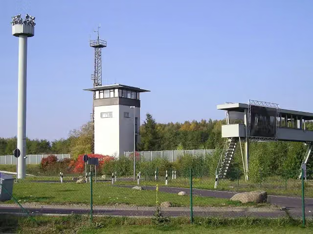 Gedenkstätte Deutsche Teilung MarienbornMuseum · 1.5 km from the route
- 4
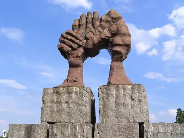 Die Wölbung der HändeMemorial · 3 km from the route
- 5
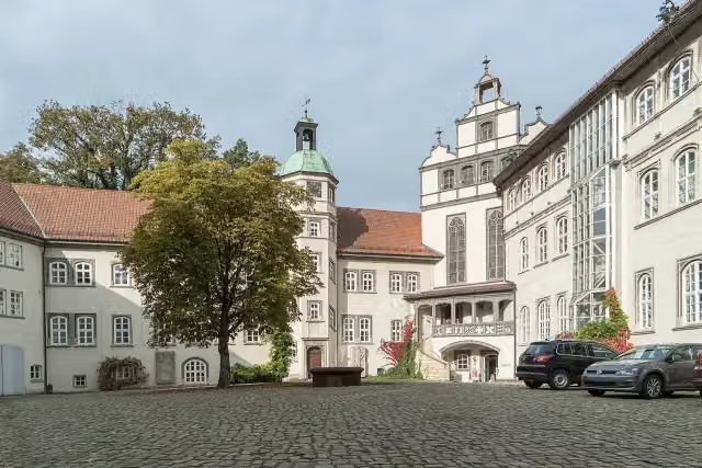 Schloß GifhornCastle · 104 m from the route
- 6
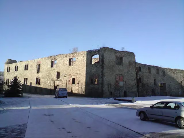 Burgruine WeferlingenCastle · 119 m from the route
- 7
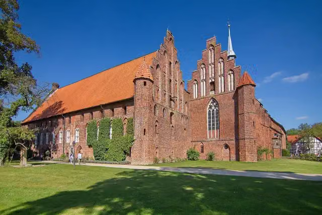 Kloster WienhausenAttraction · 119 m from the route
- 8
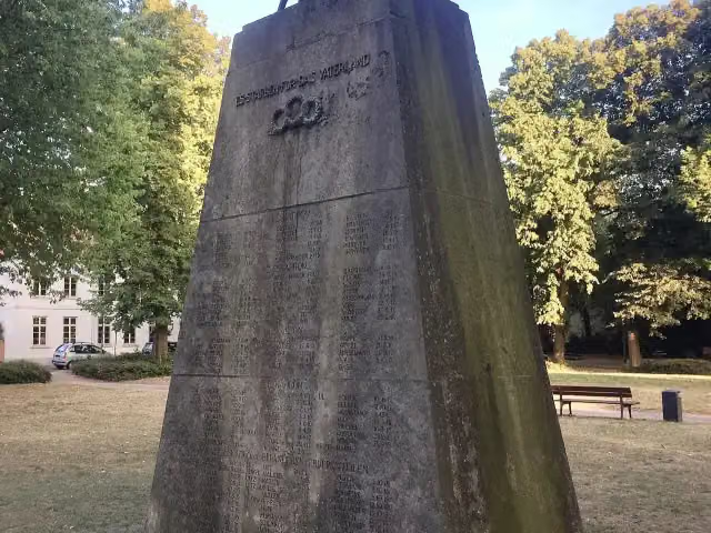 Ulanen-DenkmalMemorial · 187 m from the route
- 9
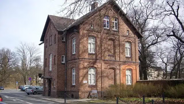 Garnison-MuseumMuseum · 191 m from the route
- 10
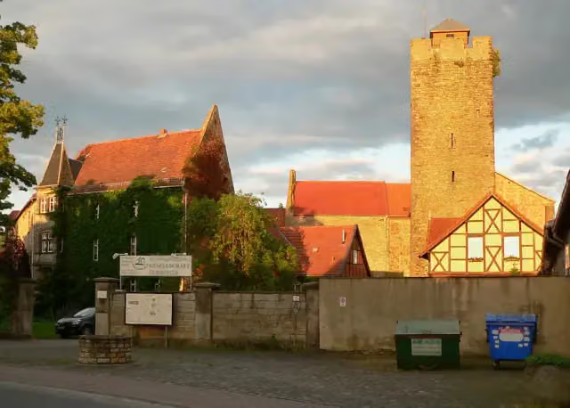 Sumpfburg OebisfeldeCastle · 239 m from the route
- 11
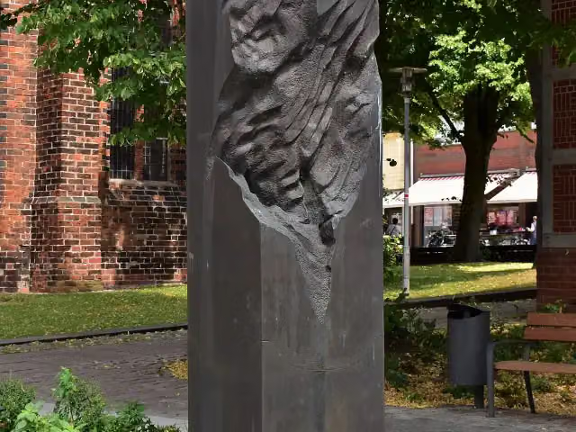 MemorialMemorial · 260 m from the route
- 12
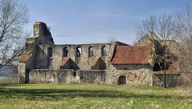 Stiftskirche Sankt MarienRuins · 300 m from the route
- 13
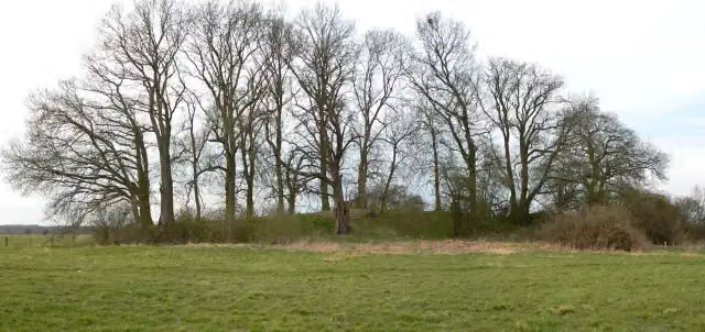 BunkenburgArchaeological site · 304 m from the route
- 14
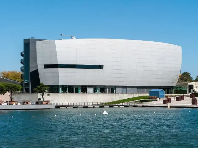 ZeitHausMuseum · 410 m from the route
- 15
 EisArena WolfsburgAttraction · 431 m from the route
- 16
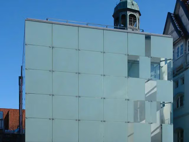 Kunstmuseum Celle mit Sammlung Robert SimonMuseum · 434 m from the route
- 17
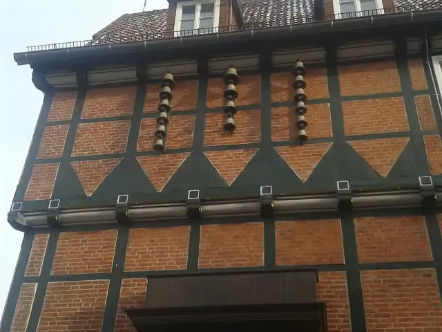 Celler GlockenspielAttraction · 459 m from the route
- 18
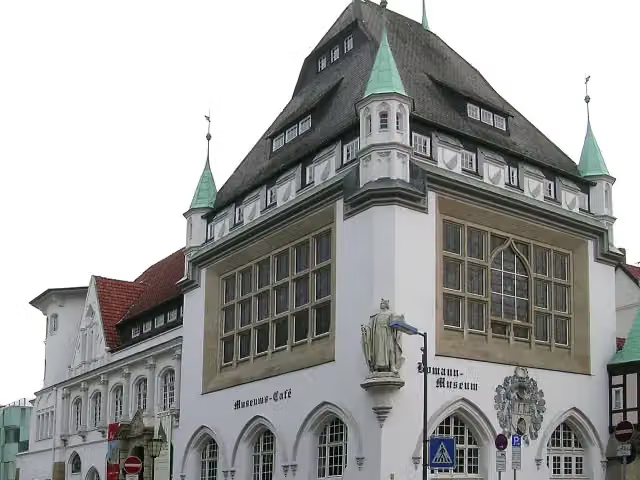 Bomann-MuseumMuseum · 460 m from the route
- 19
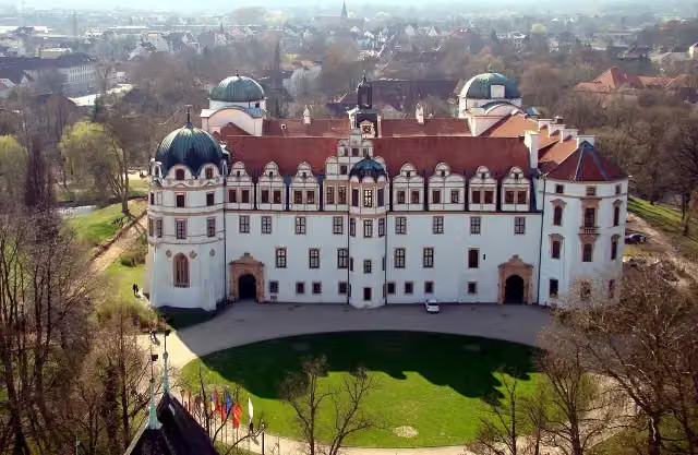 Residenzmuseum im Celler SchlossMuseum · 495 m from the route
- 20
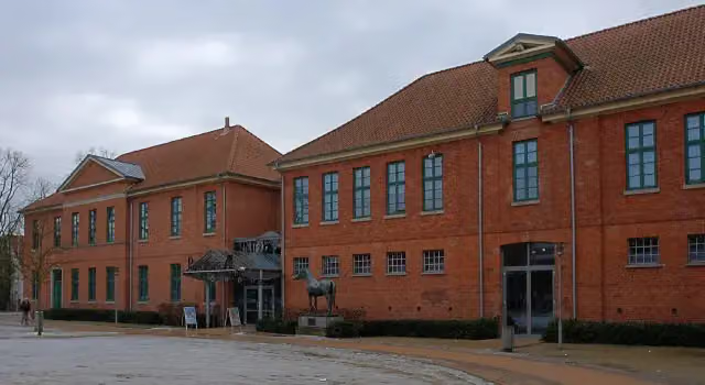 Deutsches PferdemuseumMuseum · 496 m from the route
- 21
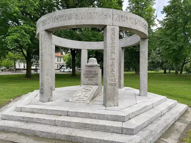 EhrenmalMemorial · 499 m from the route
- 22
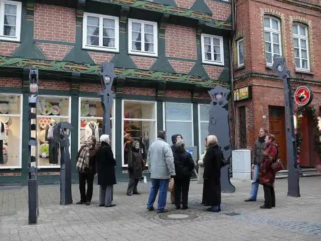 Sprechende LaternenAttraction · 513 m from the route
- 23
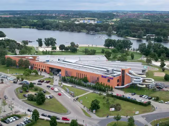 Badeland WolfsburgAttraction · 565 m from the route
- 24
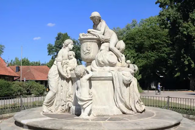 Caroline-Mathilde-DenkmalMemorial · 613 m from the route
- 25
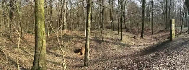 Turmhügelburg RothehofArchaeological site · 678 m from the route
Explore more
More cycle routes around Verden (Aller)
More nearby
Frequently asked questions
How long is Aller-Radweg?
Aller-Radweg is 251.6 km long, in 3 stages of 83.9 km on average. Allow ± 5:35 h per stage of riding: 15 km an hour, without breaks.
How many stages does this route have?
The route is split into 3 stages of 83.9 km on average, 251.6 km in all. The shortest stage is 77.3 km, the longest 96.8 km.
Is this route a circular ride?
No, the route starts and ends at different spots.
Where does this route start?
The route starts in Verden (Aller).
How hard is this route?
Hard per stage, with 210 m per stage of climbing.
Are there toilets along this route?
Yes, there are 30 public toilets within 100 m of the route. The longest stretch without a toilet is 46.2 km.
Can you fill up with water along this route?
Yes, there are 4 water fountains and refill points within 100 m of the route.
What is there to see along this route?
Along the way you pass Ackerbürgerhaus, Burghof Rethem and Schloss Ahlden.
Which stage of this route has the most points of interest?
Stage 2 (77.4 km), with 9 points of interest along the route, such as Kavalierhaus, Müller-Turm and Hoffmann-von-Fallersleben-Museum.
Can I download this route as a GPX file?
Yes. Sign in with your Outdoor Pitstop account and choose Download GPX at the top of this page: 10 routes a month for free, unlimited with Pro.
Starting point
More routes from this place
Route data © OpenStreetMap contributors





