 Outdoor Pitstop
Cycle route · Glückstadt · Updated on 14 November 2026
Mönchsweg cycle route
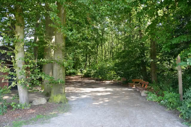
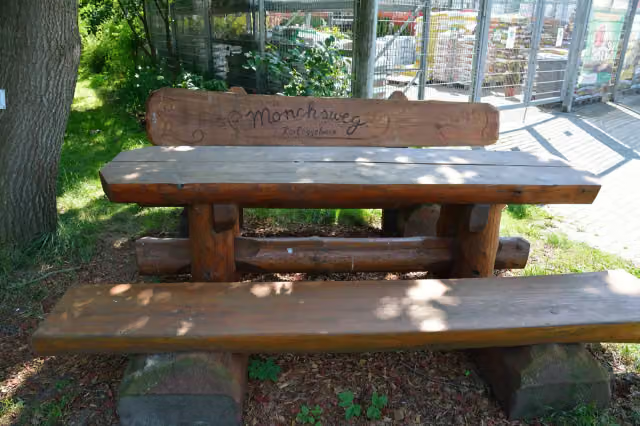
Mönchsweg is a cycle route of 340.8 km from Glückstadt. Along the way you'll find 423 benches, 4 water fountains and refill points, 37 public toilets, 21 bike pumps and 4 honesty boxes and farm vending machines.
i
i
i
The route step by step
From start to finish, with what you pass along the way and the distance in between.
- 340.8 km
- ± 22:45 h
- ↑ 769 m · ↓ 767 m
- Hard
- From A to B
- Regional route
- Colour of the signs
Start in Glückstadt
0 km20.9 km · 17 benches
Bike pump
20.9 km264 m

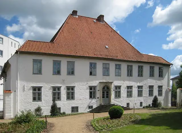
Kameramuseum Beidenfleth
21.2 kmMuseum
6.1 km
Public toilet, water point and bike pump
27.2 km10 km · 5 benches
Bike pump
37.3 km909 m · 3 benches
Public toilet
38.2 km197 m · 14 benches
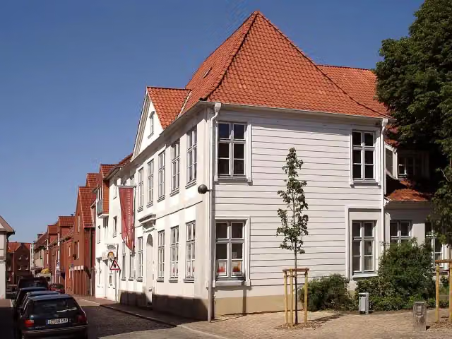
Kreismuseum Prinzeßhof
38.4 kmMuseum
161 m · bench
Public toilet, water point and bike pump
38.5 km404 m
Wenzel-Hablik-Museum
38.9 kmPublic toilet
2.9 km · 10 benches
Bike pump
41.8 km8.4 km · 2 benches
Bike pump
50.2 km8.5 km · 3 benches
Bike pump
58.7 km21 km · 15 benches
Honesty box
79.6 km8.6 km · 26 benches
Bike pump
88.3 km16.4 km · 5 benches
Public toilet
104.6 km14.2 km · 10 benches
Public toilet
118.8 km7.9 km · 3 benches
Public toilet
126.7 km2.7 km · 2 benches
2 bike pumps
129.4 km213 m · 4 benches
Bike pump
129.6 km19.8 km · 3 benches
Bike pump
149.4 km31.1 km · 25 benches
Public toilet
180.5 km1.4 km
2 public toilets and bike pump
181.9 km242 m · 4 benches
2 public toilets
182.1 km29.5 km · 26 benches
Bike pump
211.7 km1.4 km · 7 benches
Public toilet
213.1 km5.1 km · 21 benches
Public toilet and water point
218.2 km314 m · 25 benches
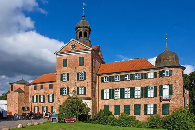
Eutiner Schloss and 1 more
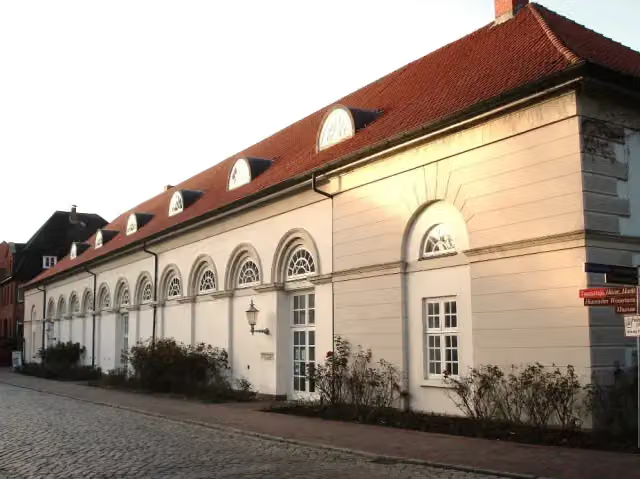
218.5 kmOstholstein-Museum and 2 public toilets
222 m · 7 benches
Public toilet
218.7 km1 km · 14 benches
Public toilet
219.8 km11.8 km · 18 benches
Honesty box
231.5 km
Show the other 26 steps
6.3 km · 2 benches
Public toilet
237.8 km831 m · 3 benches
Water point
238.6 km12.4 km · 5 benches
Public toilet
251 km6.4 km · 6 benches
Public toilet and bike pump
257.4 km1.9 km · 18 benches
Bike pump
259.3 km408 m
Public toilet
259.7 km330 m · 2 benches
2 public toilets
260.1 km4.8 km
Public toilet
264.8 km209 m
Public toilet
265 km17.7 km · 22 benches
Bike pump
282.7 km236 m · 16 benches
Public toilet and bike pump
283 km167 m
Public toilet
283.1 km1.2 km · 5 benches
Public toilet
284.4 km11.9 km · 8 benches
Honesty box
296.3 km5.3 km · bench
Public toilet and bike pump
301.6 km320 m · 3 benches
Heimatmuseum
301.9 kmMuseum
297 m · 19 benches
Bike pump
302.2 km8 km · 10 benches
Bike pump
310.2 km547 m · 4 benches
Public toilet
310.8 km177 m
Honesty box
311 km4.8 km · 5 benches
Public toilet
315.8 km7.6 km · 5 benches
Public toilet
323.5 km2.1 km
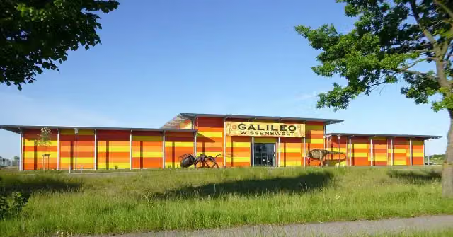
Galileo Wissenswelt Technik + Naturkunde
325.6 kmMuseum
10.1 km · 9 benches
Public toilet
335.7 km4.8 km · 6 benches
Public toilet
340.5 km320 m · 3 benches
Finish
340.8 kmAt the finish: 2 public toilets.
Longest stretch without a toilet: 65.7 kmBetween 39 km and 104.6 km there is no public toilet within 100 m of the route.
The route with the pitstops and sights within 100 m of it.
7 sights along the way
In the order you pass them. With the Outdoor Pitstop app you hear their story on the spot.

Museum · after 21.2 km
i
Photo: Nightflyer · Wikimedia Commons · CC BY 3.0View the photo on Wikimedia CommonsMuseum · after 38.4 km
i
Photo: Wikimedia Commons · Wikimedia Commons · CC BY-SA 3.0View the photo on Wikimedia CommonsMuseum · after 38.9 km
i
Photo: Nordenfan · Wikimedia Commons · CC BY-SA 4.0View the photo on Wikimedia CommonsCastle · after 218.5 km
i
Photo: Genet at German Wikipedia · Wikimedia Commons · CC BY-SA 3.0View the photo on Wikimedia CommonsMuseum · after 218.6 km
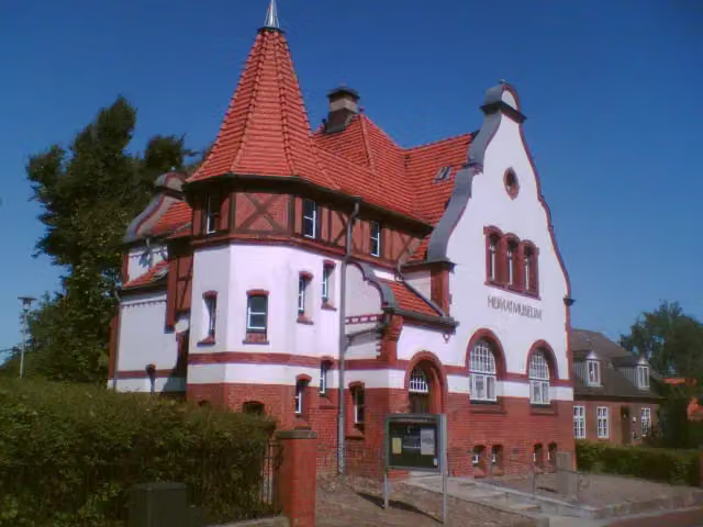
Museum · after 301.9 km
i
Photo: Fembi · Wikimedia Commons · CC BY-SA 4.0View the photo on Wikimedia CommonsMuseum · after 325.6 km
Elevation and terrain
- Up
- ↑ 769 m
- Down
- ↓ 767 m
- Highest point
- 78 m
- Lowest point
- -0 m
- 1 flight of stairs
Elevation from Copernicus GLO-30 (European Union and ESA), smoothed.
produced using Copernicus WorldDEM-30 © DLR e.V. 2010-2014 and © Airbus Defence and Space GmbH 2014-2018 provided under COPERNICUS by the European Union and ESA; all rights reserved
Way types
340.8 km in total- Road: 130.7 km
- Path: 73.4 km
- Track: 61.5 km
- Street: 53.7 km
- Busy road: 12.1 km
- Footpath (walk your bike): 5 km
- Cycle path: 3.3 km
- Steps (carry your bike): 1 flight of stairs
- Unknown: 350 m
Surfaces
340.8 km in total- Asphalt: 219.4 km
- Gravel: 37.9 km
- Paved: 22.8 km
- Unpaved: 9.3 km
- Natural: 2.3 km
- Unknown: 48.5 km
About the cycle route Mönchsweg
Updated on 14 November 2026, with data from OpenStreetMap, the AHN and Copernicus.
Where do you cycle?
Mönchsweg is a cycle route of 340.8 km that starts in Glückstadt. It does not end where it starts. You start in Glückstadt and finish in Puttgarden. Along the way you pass Kameramuseum Beidenfleth (after 21.2 km), Kreismuseum Prinzeßhof (after 38.4 km) and Wenzel-Hablik-Museum (after 38.9 km).
How hard is the route?
You climb 769 m in total and descend 767 m. There is 1 flight of steps along the way. Allow ± 22:45 h, without breaks. The level is hard.
What roads do you cycle on?
The longest part is road (130.7 km), path (73.4 km) and track (61.5 km). Of the surface, 219.4 km asphalt and 37.9 km gravel. For 48.5 km the surface is not known.
Pitstops along the way
Within 100 metres of the route there are 423 benches, 4 water fountains and refill points, 37 public toilets, 21 bike pumps and 4 honesty boxes and farm vending machines. You can fill your bottle after 27.3 km, after 38.5 km, after 218.3 km and after 238.6 km. The longest stretch without a toilet is 65.7 km. The Outdoor Pitstop app navigates you there.
Part of Mönchsweg
Website of the routeCycle routes nearby
6- Nordseeküstenroute (Hamburg und Schleswig-Holstein)Hard · From A to B390.5 km
- EuroVelo 12 - North Sea Cycle Route - part GermanyHard · From A to B929.4 km
- [D10] Elberadweg rechtselbisch [Abschnitt A]Easy · From A to B24.3 km
- MönchswegHard · From A to B191 km
- MönchswegEasy · From A to B2.6 km
- [D10] Elberadweg rechtselbisch [Abschnitt B]Hard · From A to B64.6 km
Sights nearby
Within 10 km of the route, best known first.
- 1
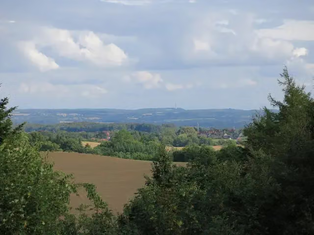 BungsbergViewpoint · 6 km from the route
- 2
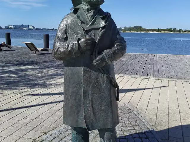 Fischer StuebenMemorial · 189 m from the route
- 3
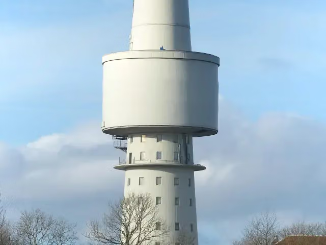 OceantowerObservation tower · 1.3 km from the route
- 4
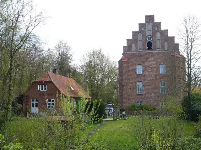 Kloster CismarAttraction · 105 m from the route
- 5
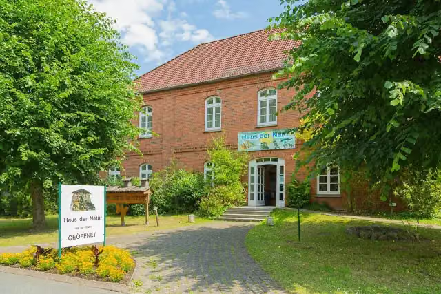 Haus der NaturMuseum · 106 m from the route
- 6
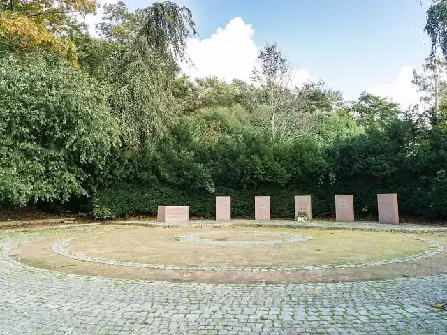 Gedenkstätte für die Toten und Vertriebenen der WeltkriegeMemorial · 141 m from the route
- 7
 GermanengrabArchaeological site · 164 m from the route
- 8
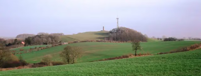 Gömnitzer BergViewpoint · 167 m from the route
- 9
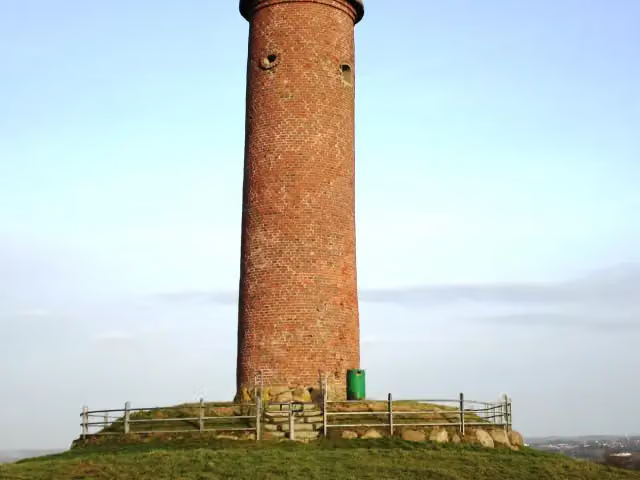 Gömnitzer TurmViewpoint · 167 m from the route
- 10
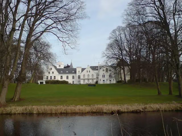 Schloss BreitenburgCastle · 174 m from the route
- 11
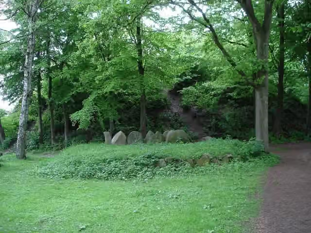 Kammer von WarringholzArchaeological site · 174 m from the route
- 12
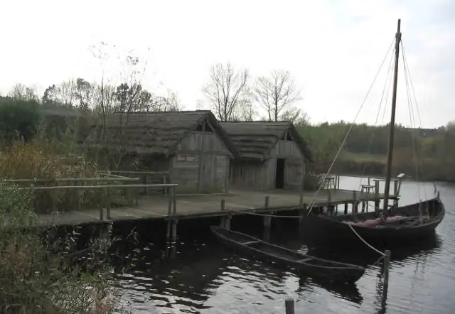 Oldenburger WallmuseumMuseum · 190 m from the route
- 13
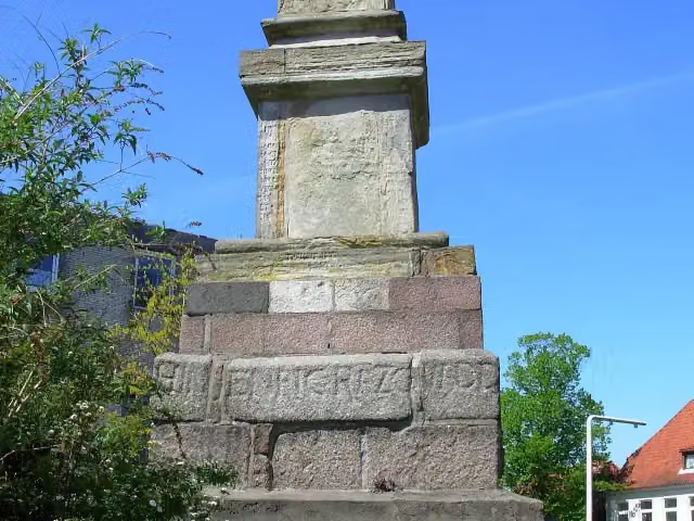 Rantzau-ObeliskMemorial · 261 m from the route
- 14
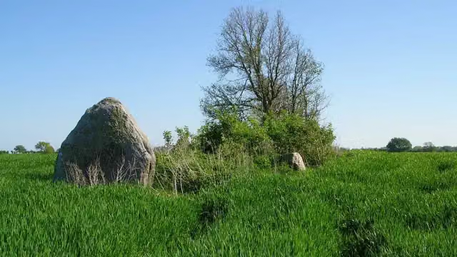 Langbett GroßenbrodeArchaeological site · 363 m from the route
- 15
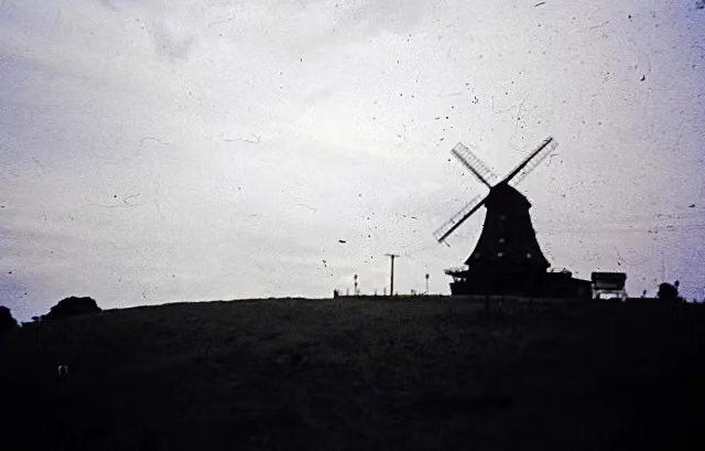 Brodauer MühleRuins · 389 m from the route
- 16
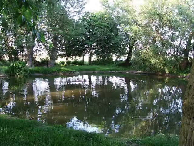 KriegssollMemorial · 408 m from the route
- 17
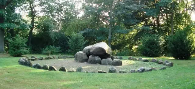 Grabkammer MalenteArchaeological site · 478 m from the route
- 18
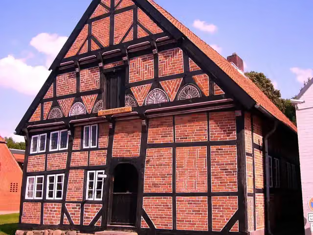 Museum Alt-Segeberger BürgerhausMuseum · 481 m from the route
- 19
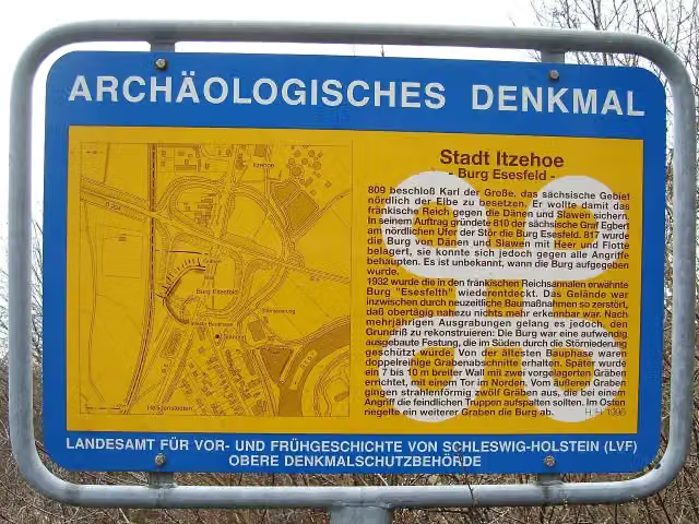 Burg EsesfeldArchaeological site · 485 m from the route
- 20
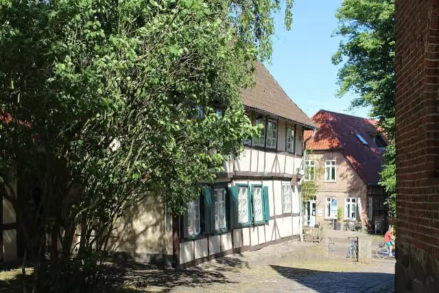 Peter Wiepert HeimatmuseumMuseum · 549 m from the route
- 21
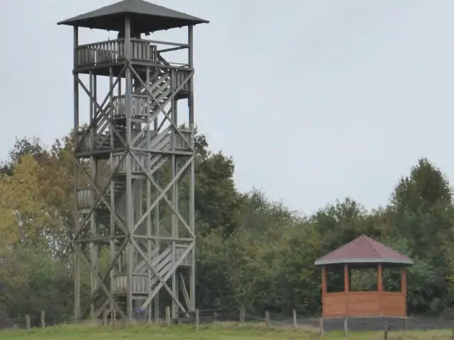 Aussichtsturm KetelvierthObservation tower · 639 m from the route
- 22
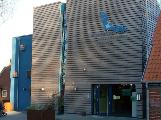 Noctalis – Welt der FledermäuseMuseum · 648 m from the route
- 23
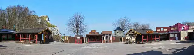 Karl-May-SpieleAttraction · 763 m from the route
- 24
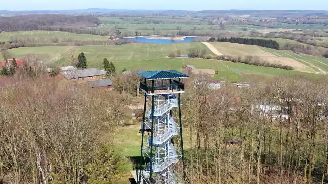 HolzbergturmObservation tower · 792 m from the route
- 25
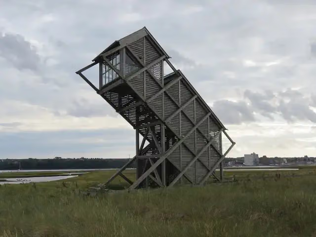 Beobachtungsturm GraswarderObservation tower · 969 m from the route
Explore more
More cycle routes around Glückstadt
Frequently asked questions
How long is Mönchsweg?
Mönchsweg is 340.8 km long. Allow ± 22:45 h of riding: 15 km an hour, without breaks.
Is this route a circular ride?
No, the route runs from Glückstadt to Puttgarden.
Where does this route start?
The route starts in Glückstadt.
How hard is this route?
Hard, with 769 m of climbing.
Are there toilets along this route?
Yes, there are 37 public toilets within 100 m of the route. The longest stretch without a toilet is 65.7 km.
Can you fill up with water along this route?
Yes, there are 4 water fountains and refill points within 100 m of the route.
What is there to see along this route?
Along the way you pass Kameramuseum Beidenfleth, Kreismuseum Prinzeßhof and Wenzel-Hablik-Museum.
Can I download this route as a GPX file?
Yes. Sign in with your Outdoor Pitstop account and choose Download GPX at the top of this page: 10 routes a month for free, unlimited with Pro.
Starting point
More routes from this place
Route data © OpenStreetMap contributors





