 Outdoor Pitstop
Cycle route · Bremen · Updated on 14 November 2026
Mönchsweg cycle route
Mönchsweg is a cycle route of 574.7 km from Bremen. Along the way you'll find 874 benches, 7 water fountains and refill points, 63 public toilets, 31 bike pumps and 4 honesty boxes and farm vending machines.
i
i
i
The route step by step
From start to finish, with what you pass along the way and the distance in between.
- 574.7 km
- ± 9:35 h per stage
- ↑ 1,100 m · ↓ 1,122 m
- Hard per stage
- From A to B
- Regional route
- Colour of the signs
Start in Bremen
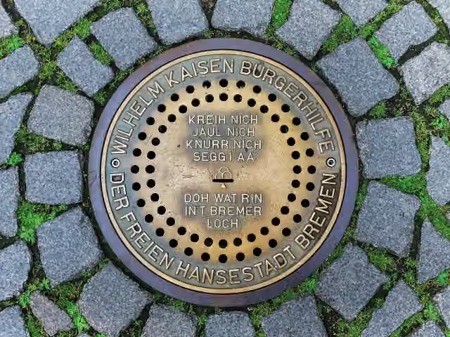
0 kmAt the start: Bremer Loch, St.Jacobus, Bleikeller, Skulpturengarten, Roland, Herold, Reiterstandbild Otto von Bismarck, Town Hall, Spuckstein – Gesche Gottfried, Saint Peter's Cathedral, Dom-Museum, 5 public toilets and bike pump.
165 m · 16 benches
2 public toilets
165 m892 m · 34 benches
Public toilet
1.1 km259 m · 7 benches

Antikolonialdenkmal
1.3 kmWater point
1.5 km · 14 benches
Wilhelm Benque Denkmal
2.8 kmBike pump
1.1 km · 36 benches
Public toilet
3.9 km726 m · bench
Public toilet
4.7 km8.4 km · 22 benches
Observation tower
13.1 kmObservation tower
57.7 km · 40 benches
Christinenhaus
70.7 kmPublic toilet
295 m · 8 benches
Public toilet
71 km252 m · 2 benches
Klostermuseum Zeven
71.3 kmMuseum
238 m · bench
Bike pump
71.5 km30.7 km · 23 benches
Public toilet
102.3 km544 m · 2 benches
Water point
102.8 km256 m
Public toilet
103.1 km17.6 km · 34 benches
Public toilet
120.7 km841 m
Hogendiekbrück
121.6 kmAttraction
1.7 km · 6 benches
Bike pump
123.3 km165 m
Public toilet
123.5 km8.2 km · 54 benches
Public toilet and bike pump
131.7 km5 km · 4 benches
Greundiek
136.6 km2 public toilets
270 m · 9 benches
Franziskaner Mönch
136.9 kmMemorial
805 m · 17 benches
3 public toilets
137.7 km482 m · 9 benches
Freilichtmuseum auf der Insel and 1 more
138.2 kmGeorg Christoph Lichtenberg
13.3 km · 22 benches
Bike pump
151.5 km8.3 km · bench
Bike pump
159.8 km25 km · 7 benches
Observation tower
184.9 kmPublic toilet
5.5 km · 2 benches
Public toilet
190.4 km21.5 km · 19 benches
Bike pump
211.9 km264 m
Kameramuseum Beidenfleth
212.2 kmMuseum
Show the other 59 steps
6.1 km
Public toilet, water point and bike pump
218.2 km10 km · 5 benches
Bike pump
228.3 km909 m · 3 benches
Public toilet
229.2 km197 m · 14 benches
Kreismuseum Prinzeßhof
229.4 kmMuseum
161 m · bench
Public toilet, water point and bike pump
229.5 km404 m
Wenzel-Hablik-Museum
229.9 kmPublic toilet
2.9 km · 10 benches
Bike pump
232.8 km8.4 km · 2 benches
Bike pump
241.2 km8.5 km · 3 benches
Bike pump
249.7 km21 km · 15 benches
Honesty box
270.6 km8.6 km · 26 benches
Bike pump
279.3 km16.4 km · 5 benches
Public toilet
295.6 km14.2 km · 10 benches
Public toilet
309.8 km7.9 km · 3 benches
Public toilet
317.7 km2.7 km · 2 benches
2 bike pumps
320.4 km213 m · 4 benches
Bike pump
320.6 km19.8 km · 3 benches
Bike pump
340.3 km31.1 km · 25 benches
Public toilet
371.5 km1.4 km
2 public toilets and bike pump
372.9 km242 m · 4 benches
2 public toilets
373.1 km29.5 km · 26 benches
Bike pump
402.7 km1.4 km · 7 benches
Public toilet
404 km5.1 km · 21 benches
Public toilet and water point
409.2 km314 m · 25 benches
Eutiner Schloss and 1 more
409.5 kmOstholstein-Museum and 2 public toilets
222 m · 7 benches
Public toilet
409.7 km1 km · 14 benches
Public toilet
410.7 km11.8 km · 18 benches
Honesty box
422.5 km6.3 km · 2 benches
Public toilet
428.8 km831 m · 3 benches
Water point
429.6 km12.4 km · 5 benches
Public toilet
442 km6.4 km · 6 benches
Public toilet and bike pump
448.4 km1.9 km · 18 benches
Bike pump
450.3 km408 m
Public toilet
450.7 km330 m · 2 benches
2 public toilets
451.1 km4.8 km
Public toilet
455.8 km209 m
Public toilet
456 km17.7 km · 22 benches
Bike pump
473.7 km236 m · 16 benches
Public toilet and bike pump
474 km167 m
Public toilet
474.1 km1.2 km · 5 benches
Public toilet
475.4 km11.9 km · 8 benches
Honesty box
487.3 km5.3 km · bench
Public toilet and bike pump
492.6 km320 m · 3 benches
Heimatmuseum
492.9 kmMuseum
297 m · 19 benches
Bike pump
493.2 km8 km · 10 benches
Bike pump
501.2 km547 m · 4 benches
Public toilet
501.8 km177 m
Honesty box
501.9 km4.8 km · 5 benches
Public toilet
506.8 km7.6 km · 5 benches
Public toilet
514.4 km2.1 km
Galileo Wissenswelt Technik + Naturkunde
516.6 kmMuseum
10.1 km · 9 benches
Public toilet
526.7 km4.8 km · 6 benches
Public toilet
531.5 km320 m · 4 benches
2 public toilets
531.8 km13.2 km · 8 benches
Bike pump
545 km17.1 km · 8 benches
Public toilet
562.2 km10 km · 14 benches
Water point and bike pump
572.1 km297 m · 7 benches
Public toilet and bike pump
572.4 km489 m · 20 benches
Wiebke-Kruse-Turm
572.9 kmAttraction
1.8 km · 20 benches
Finish
574.7 km
Longest stretch without a toilet: 66.1 kmBetween 4.7 km and 70.7 km there is no public toilet within 100 m of the route.
The route with the water points, toilets and sights within 100 m of it.
30 sights along the way
In the order you pass them. With the Outdoor Pitstop app you hear their story on the spot. 22 more along the route are on the map.
i
Photo: A.Savin · Wikimedia Commons · FALView the photo on Wikimedia CommonsAttraction · after 0 m

Memorial · after 0 m
Museum · after 0 m
Attraction · after 0 m
- Audio story · 2 min
i
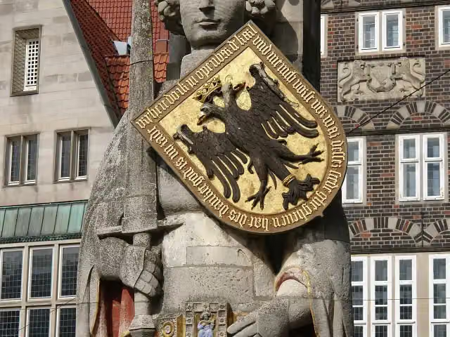
Photo: Jürgen Howaldt · Wikimedia Commons · CC BY-SA 2.0 deView the photo on Wikimedia CommonsRoland
Attraction · after 15 m
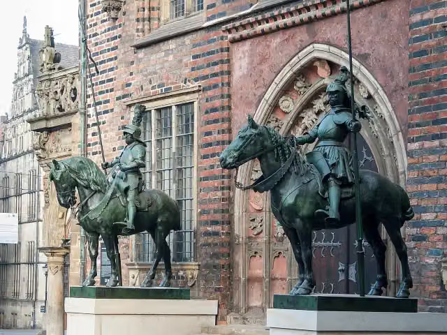
i
Photo: JoachimKohler-HB · Wikimedia Commons · CC BY-SA 4.0View the photo on Wikimedia CommonsMemorial · after 31 m
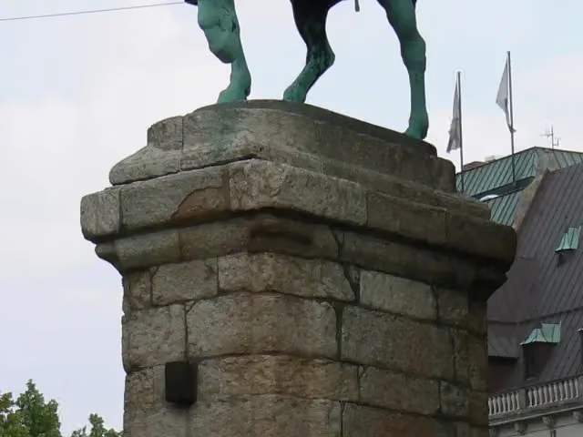
i
Photo: Jaggele25 (talk) · Wikimedia Commons · CC BY-SA 3.0View the photo on Wikimedia CommonsMemorial · after 35 m
- Audio story · 2 min
i
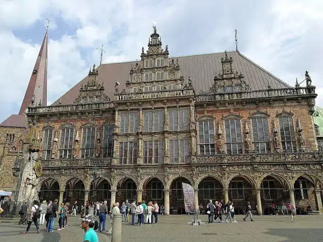
Photo: Aleksandr Zykov from Russia · Wikimedia Commons · CC BY-SA 2.0View the photo on Wikimedia CommonsTown Hall
Attraction · after 46 m
Stages (4)
Elevation and terrain
- Up
- ↑ 1,100 m
- Down
- ↓ 1,122 m
- Highest point
- 78 m
- Lowest point
- -1 m
- 10-15% slope · 102 m
- 1 flight of stairs
Elevation from Copernicus GLO-30 (European Union and ESA), smoothed.
produced using Copernicus WorldDEM-30 © DLR e.V. 2010-2014 and © Airbus Defence and Space GmbH 2014-2018 provided under COPERNICUS by the European Union and ESA; all rights reserved
Way types
574.7 km in total- Road: 215.7 km
- Path: 117.7 km
- Street: 101.7 km
- Track: 92.9 km
- Busy road: 25.9 km
- Cycle path: 7.6 km
- Footpath (walk your bike): 6.5 km
- Steps (carry your bike): 1 flight of stairs
- Unknown: 5.5 km
Surfaces
574.7 km in total- Asphalt: 358.6 km
- Paved: 54 km
- Gravel: 53.2 km
- Unpaved: 9.4 km
- Natural: 2.3 km
- Unknown: 96.2 km
About the cycle route Mönchsweg
Updated on 14 November 2026, with data from OpenStreetMap, the AHN and Copernicus.
Where do you cycle?
Mönchsweg is a cycle route of 574.7 km that starts in Bremen. It does not end where it starts. You start in Bremen and finish in Puttgarden. Along the way you pass Bremer Loch (after 0 m), St.Jacobus (after 0 m) and Bleikeller (after 0 m).
How hard is the route?
You climb 1,100 m in total and descend 1,122 m. There is 1 flight of steps along the way. Allow ± 9:35 h per stage, without breaks. Per stage the level is hard.
What roads do you cycle on?
The longest part is road (215.7 km), path (117.7 km) and street (101.7 km). Of the surface, 358.6 km asphalt and 54 km paved. For 96.2 km the surface is not known.
Pitstops along the way
Within 100 metres of the route there are 874 benches, 7 water fountains and refill points, 63 public toilets, 31 bike pumps and 4 honesty boxes and farm vending machines. The longest stretch without a toilet is 66.1 km. The Outdoor Pitstop app navigates you there.
Cycle routes nearby
6Sights nearby
Within 10 km of the route, best known first.
- 1
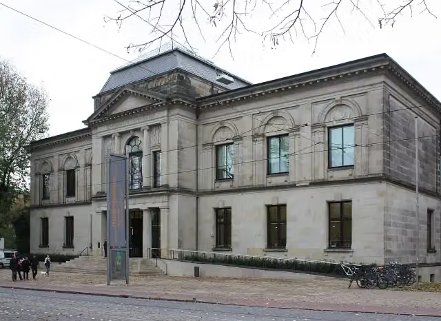 Kunsthalle BremenMuseum · 462 m from the route
- 2
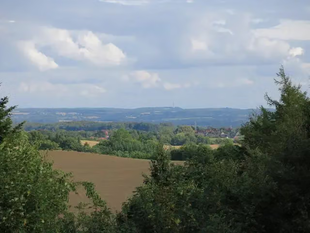 BungsbergViewpoint · 6 km from the route
- 3
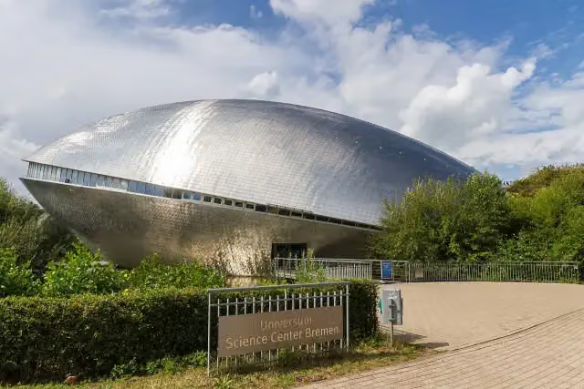 Science CenterMuseum · 183 m from the route
- 4
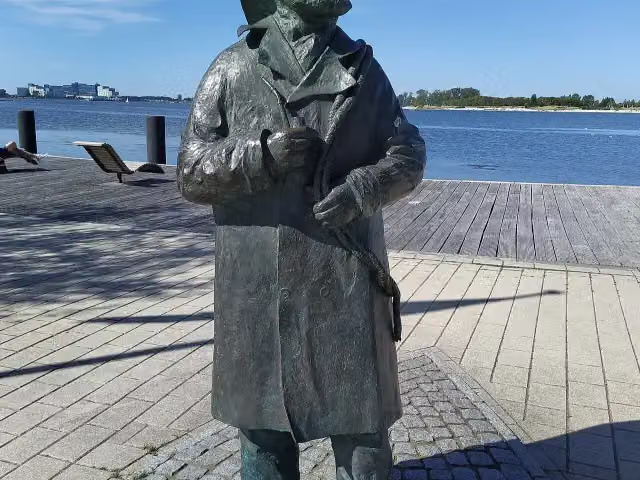 Fischer StuebenMemorial · 189 m from the route
- 5
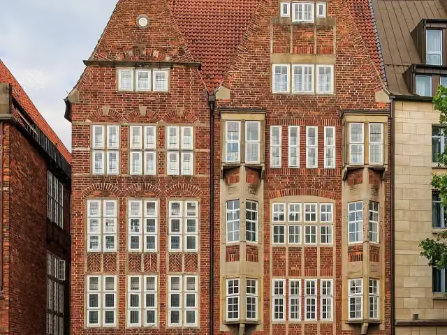 The Atlantis HouseAttraction · 201 m from the route
- 6
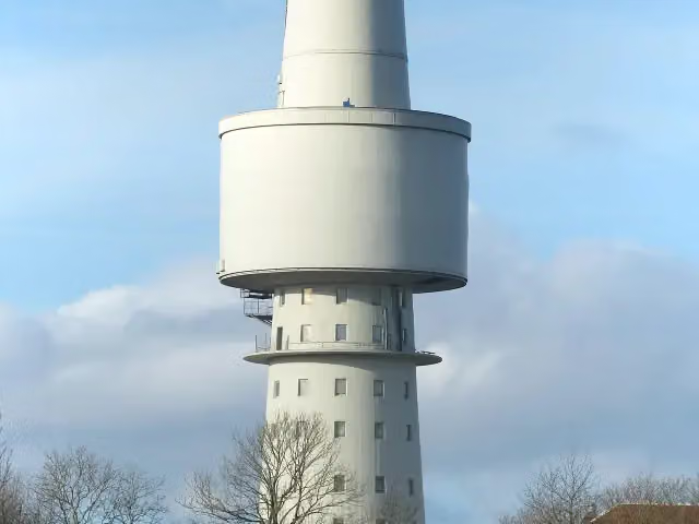 OceantowerObservation tower · 1.3 km from the route
- 7
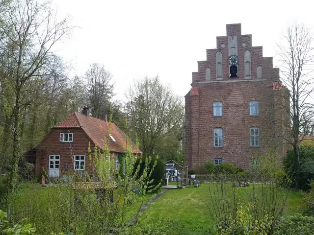 Kloster CismarAttraction · 105 m from the route
- 8
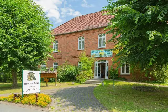 Haus der NaturMuseum · 106 m from the route
- 9
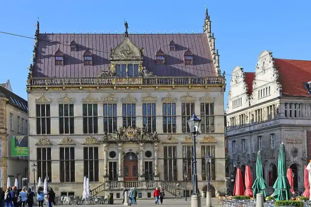 SchüttingAttraction · 110 m from the route
- 10
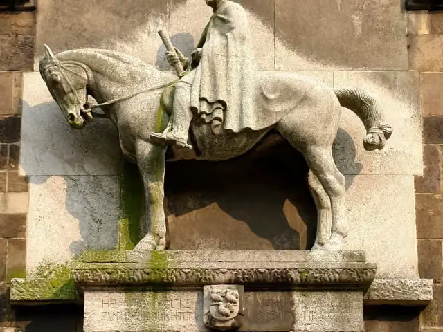 Helmuth von MoltkeMemorial · 135 m from the route
- 11
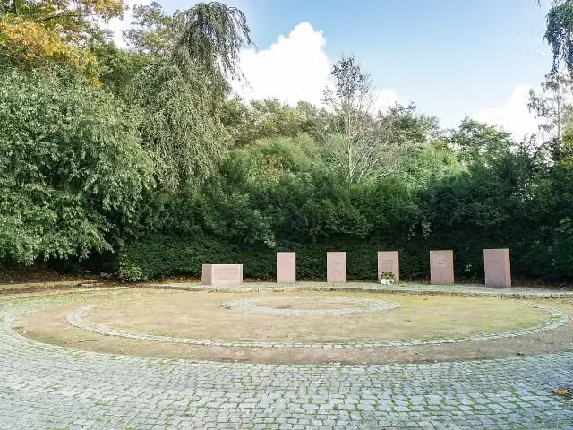 Gedenkstätte für die Toten und Vertriebenen der WeltkriegeMemorial · 141 m from the route
- 12
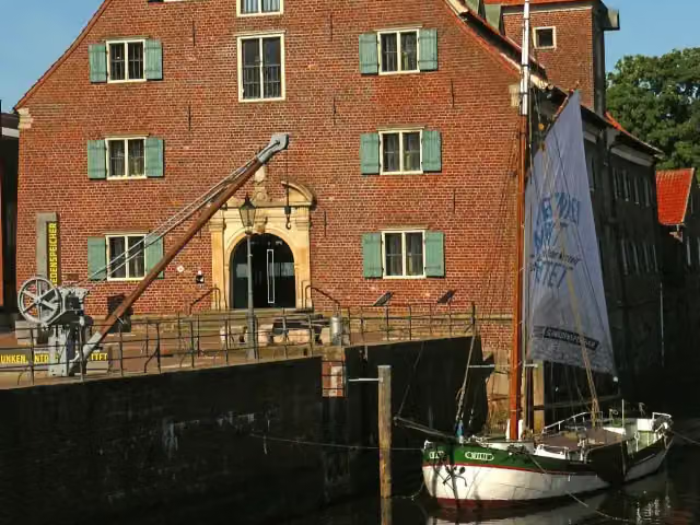 SchwedenspeicherMuseum · 146 m from the route
- 13
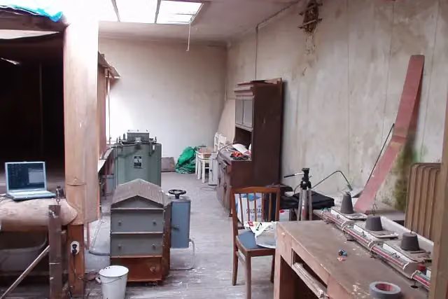 Focke-WindkanalMuseum · 160 m from the route
- 14
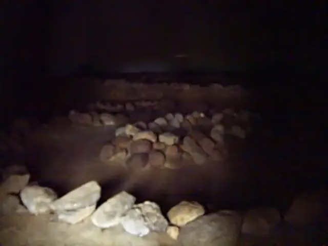 GermanengrabArchaeological site · 164 m from the route
- 15
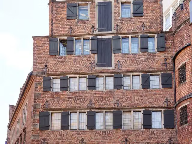 Ludwig Roselius MuseumMuseum · 166 m from the route
- 16
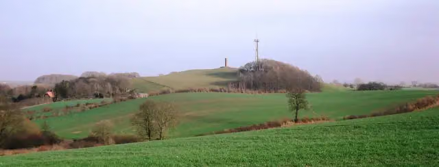 Gömnitzer BergViewpoint · 167 m from the route
- 17
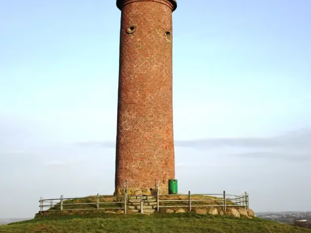 Gömnitzer TurmViewpoint · 167 m from the route
- 18
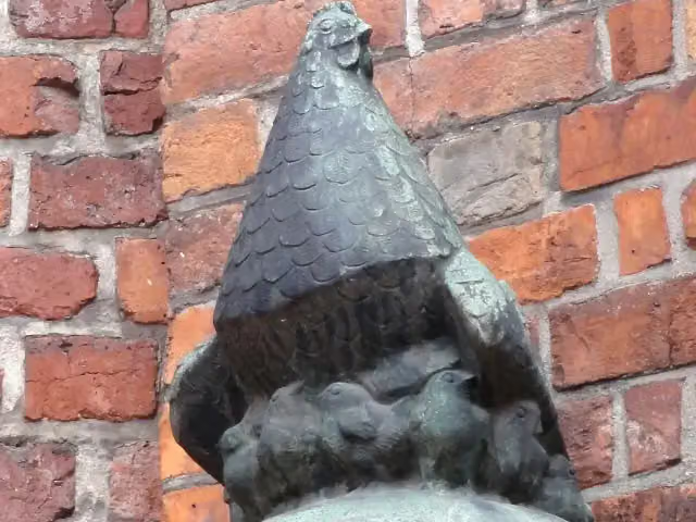 Die GluckhenneMemorial · 171 m from the route
- 19
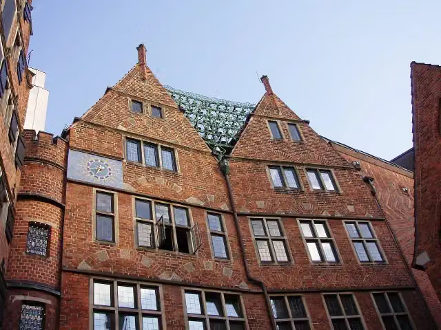 Haus des GlockenspielsAttraction · 172 m from the route
- 20
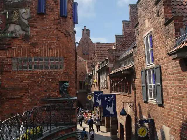 BöttcherstraßeAttraction · 173 m from the route
- 21
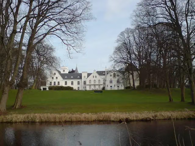 Schloss BreitenburgCastle · 174 m from the route
- 22
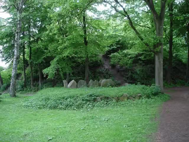 Kammer von WarringholzArchaeological site · 174 m from the route
- 23
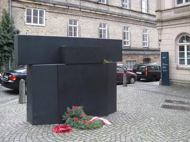 Mahnmal für die Opfer der Novemberpogrome 1938Memorial · 185 m from the route
- 24
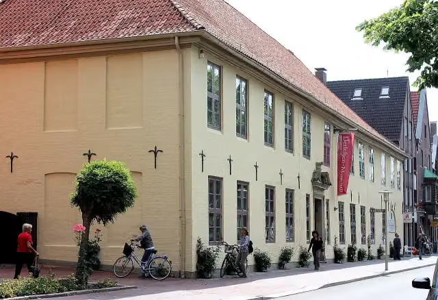 DetlefsenmuseumMuseum · 190 m from the route
- 25
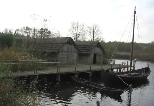 Oldenburger WallmuseumMuseum · 190 m from the route
Explore more
Frequently asked questions
How long is Mönchsweg?
Mönchsweg is 574.7 km long, in 4 parts of 143.7 km on average. Allow ± 9:35 h per part of riding: 15 km an hour, without breaks.
Is this route a circular ride?
No, the route runs from Bremen to Puttgarden.
Where does this route start?
The route starts in Bremen.
How hard is this route?
Hard per stage, with 275 m per stage of climbing.
Are there toilets along this route?
Yes, there are 63 public toilets within 100 m of the route. The longest stretch without a toilet is 66.1 km.
Can you fill up with water along this route?
Yes, there are 7 water fountains and refill points within 100 m of the route.
What is there to see along this route?
Along the way you pass Bremer Loch, St.Jacobus and Bleikeller.
Can I download this route as a GPX file?
Yes. Sign in with your Outdoor Pitstop account and choose Download GPX at the top of this page: 10 routes a month for free, unlimited with Pro.
Starting point
More routes from this place
Route data © OpenStreetMap contributors





