 Outdoor Pitstop
Cycle route · Isselburg · Updated on 6 November 2026
IJssel-Route cycle route
IJssel-Route is a cycle route of 74.5 km from Isselburg. Along the way you'll find 115 benches and picnic tables, 1 water point and 1 public toilet.
i
i
The route step by step
From start to finish, with what you pass along the way and the distance in between.
- 74.5 km
- ± 5:00 h
- ↑ 3 m · ↓ 9 m
- Hard
- From A to B
- Regional route
Start in Isselburg
0 km10.3 km · 12 benches

ICER
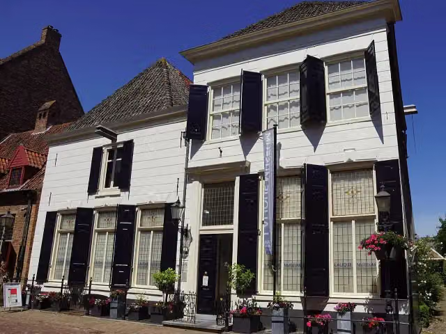
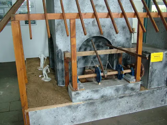
10.3 kmMuseum
30.5 km · 38 benches
Vredesmonument and 2 more
40.8 kmStreekmuseum De Roode Tooren, Lalique Museum and water point
392 m
Openbaar vervoer & speelgoed museum
41.2 kmMuseum
33.3 km · 64 benches
Finish
74.5 kmAt the finish: public toilet.
Longest stretch without a toilet: 74.5 kmBetween 0 km and 74.5 km there is no public toilet within 100 m of the route.
The route with the pitstops and sights within 100 m of it.
5 sights along the way
In the order you pass them. With the Outdoor Pitstop app you hear their story on the spot.
i
Photo: Ziko van Dijk · Wikimedia Commons · CC BY-SA 3.0View the photo on Wikimedia CommonsMuseum · after 10.3 km
- Story
Vredesmonument
Memorial · after 40.8 km
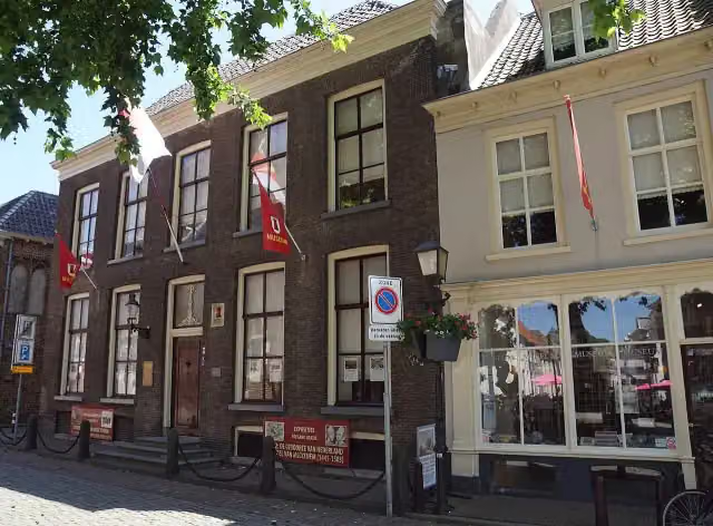
Streekmuseum De Roode Tooren
Museum · after 40.9 km
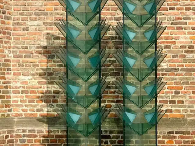
Lalique Museum
Museum · after 40.9 km

Museum · after 41.2 km
Elevation and terrain
- Up
- ↑ 3 m
- Down
- ↓ 9 m
- Highest point
- 19 m
- Lowest point
- 7 m
Nowhere steeper than 5%.
Elevation from AHN (Rijkswaterstaat), smoothed.
Way types
74.5 km in total- Cycle path: 33.2 km
- Road: 27.2 km
- Street: 7.4 km
- Track: 4.1 km
- Busy road: 2 km
- Footpath (walk your bike): 425 m
- Path: 125 m
Surfaces
74.5 km in total- Asphalt: 43.5 km
- Paved: 16.9 km
- Gravel: 3.7 km
- Unpaved: 825 m
- Unknown: 9.5 km
About the cycle route IJssel-Route
Updated on 6 November 2026, with data from OpenStreetMap and the AHN.
Where do you cycle?
IJssel-Route is a cycle route of 74.5 km that starts in Isselburg. It does not end where it starts. Along the way you pass ICER (after 10.3 km), Vredesmonument (after 40.8 km) and Streekmuseum De Roode Tooren (after 40.9 km).
How hard is the route?
The route is almost flat. You climb 3 m in total and descend 9 m. Allow ± 5:00 h, without breaks. The level is hard.
What roads do you cycle on?
The longest part is cycle path (33.2 km), road (27.2 km) and street (7.4 km). Of the surface, 43.5 km asphalt and 16.9 km paved. For 9.5 km the surface is not known.
Pitstops along the way
Within 100 metres of the route there are 115 benches and picnic tables, 1 water point and 1 public toilet. You can fill your bottle after 40.8 km. The longest stretch without a toilet is 74.5 km. The Outdoor Pitstop app navigates you there.
The IJssel-Route is a cycle route of just over 74 km from Isselburg in Germany to Zutphen, first along the Oude IJssel and then along the IJssel. You ride via Gendringen, Ulft, Silvolde and Terborg to Doetinchem, past Laag-Keppel to Doesburg, and via Bronkhorst and the IJssel floodplains to Zutphen. Along the way are Streekmuseum De Roode Tooren and the Lalique Museum. Almost half is cycle path and it is flat. There are 115 benches along the way, but we know of only one toilet and one water tap.
Sights nearby
Within 10 km of the route, best known first.
- 1
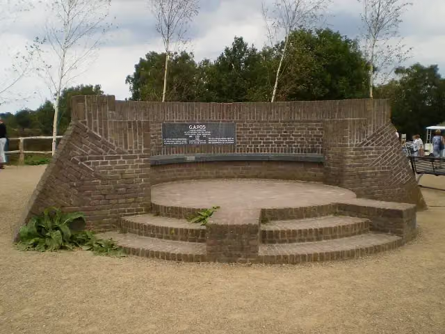 PosbankMemorial · 7 km from the route
- 2
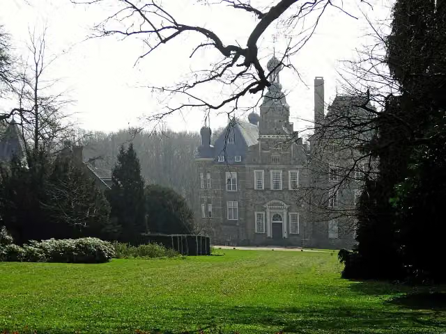 Kasteel KeppelCastle · 323 m from the route
- 3
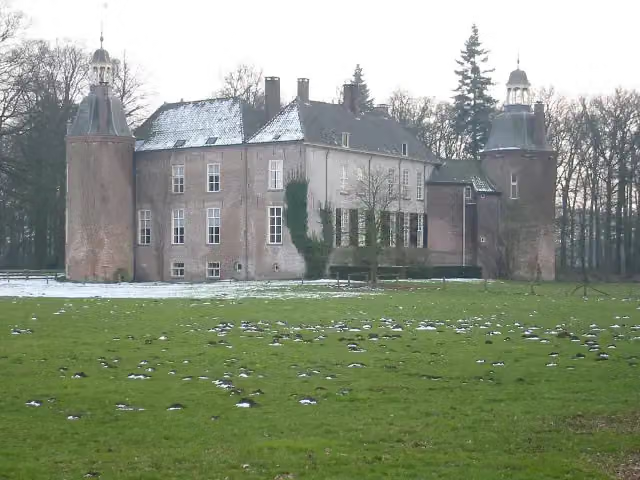 Kasteel HackfortCastle · 749 m from the route
- 4
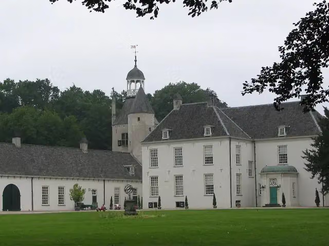 Kasteel WischCastle · 208 m from the route
- 5
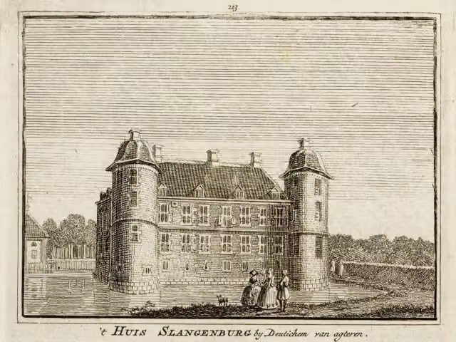 Kasteel SlangenburgCastle · 3.9 km from the route
- 6
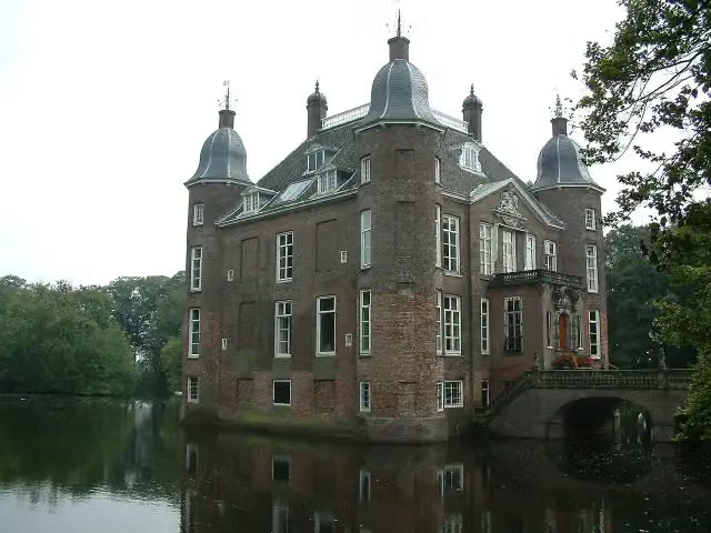 Kasteel BiljoenCastle · 9.5 km from the route
- 7
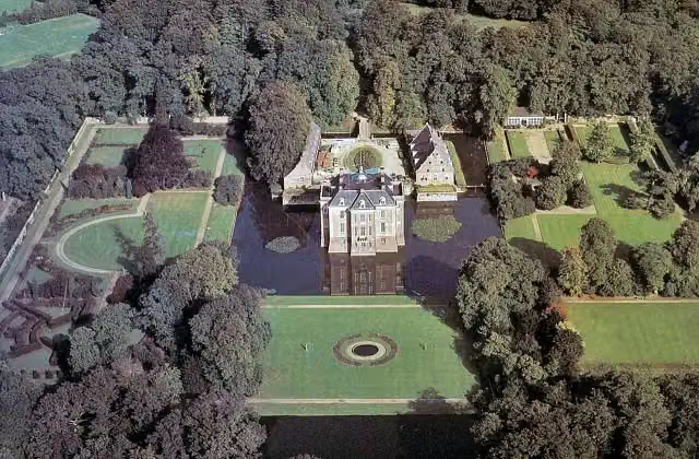 Kasteel MiddachtenCastle · 4.3 km from the route
- 8
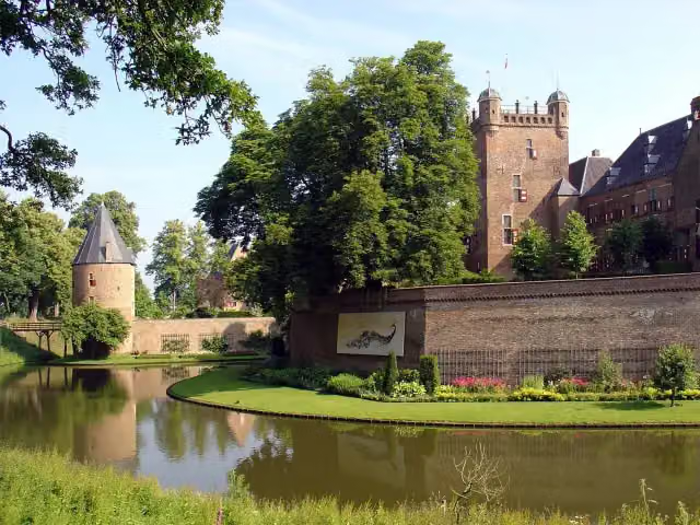 Kasteel Huis BerghCastle · 7.8 km from the route
- 9
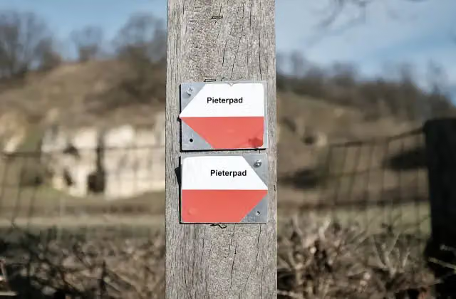 Halverwege PieterpadMemorial · 3.8 km from the route
- 10
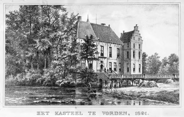 Kasteel VordenCastle · 3.8 km from the route
- 11
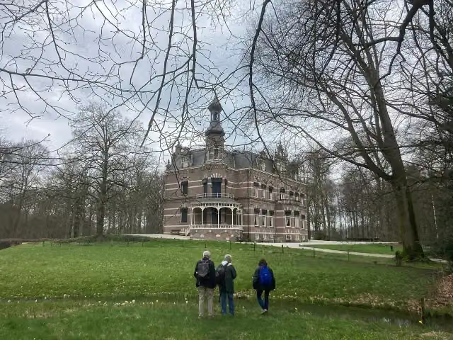 Kasteel 't SuiderasCastle · 349 m from the route
- 12
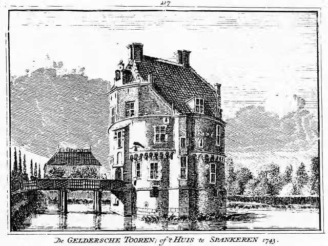 Gelderse TorenCastle · 601 m from the route
- 13
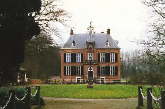 Den BramelCastle · 3.7 km from the route
- 14
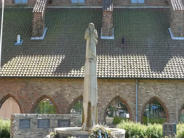 Gideon-monumentMemorial · 164 m from the route
- 15
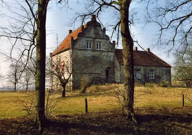 Huis te LathumCastle · 7.9 km from the route
- 16
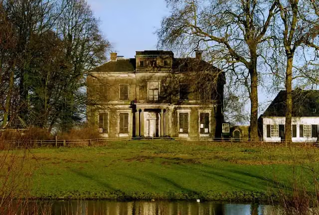 Kasteel ReuversweerdCastle · 1.2 km from the route
- 17
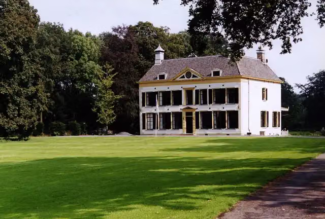 Kasteel UlenpasCastle · 1.5 km from the route
- 18
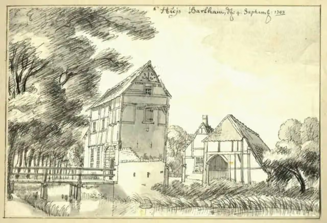 BarlhamRuins · 199 m from the route
- 19
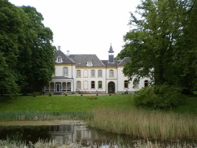 Huis BaakCastle · 1.3 km from the route
- 20
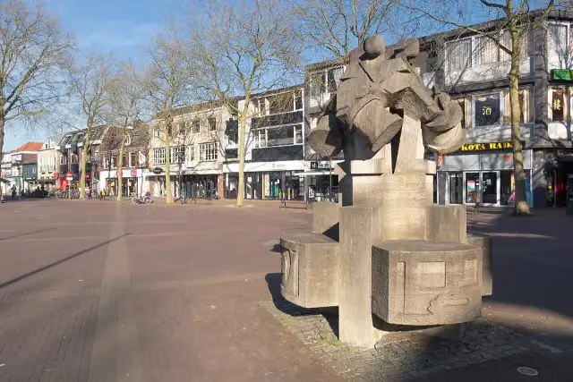 De Vier TamboersMemorial · 9.4 km from the route
- 21
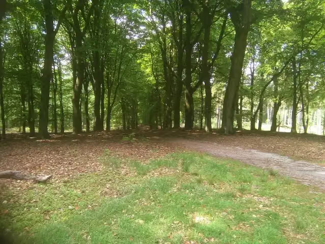 Prins WillembergViewpoint · 3.8 km from the route
- 22
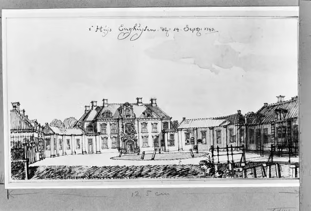 Landhuis EnghuizenCastle · 2.4 km from the route
- 23
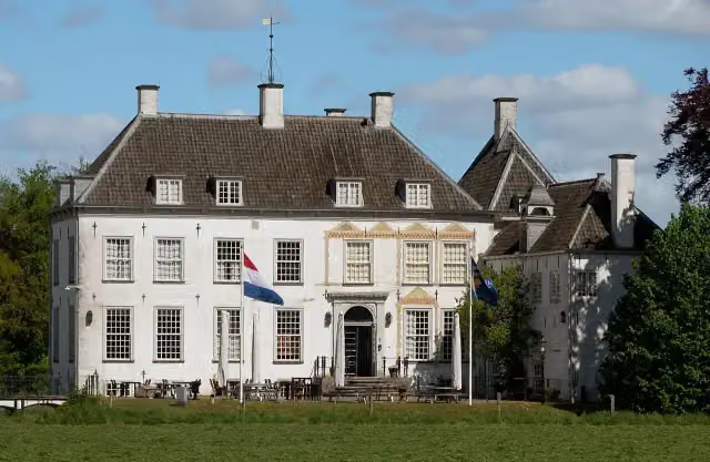 Huis het VeldeCastle · 3.4 km from the route
- 24
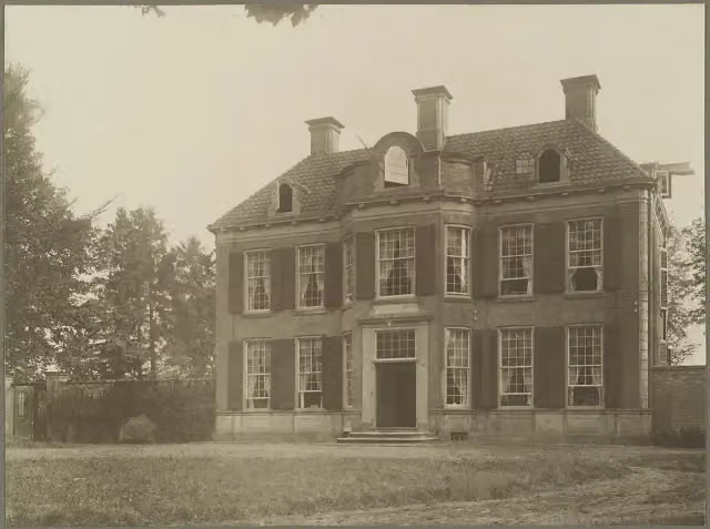 KiefskampCastle · 4.7 km from the route
- 25
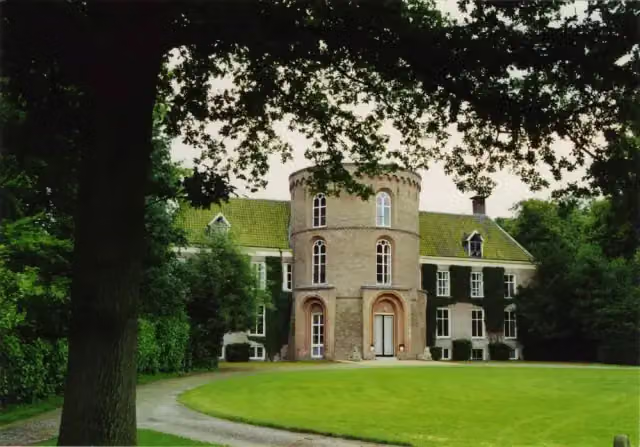 De WildenborchCastle · 8.3 km from the route
Explore more
Frequently asked questions
How long is IJssel-Route?
IJssel-Route is 74.5 km long. Allow ± 5:00 h of riding: 15 km an hour, without breaks.
Is this route a circular ride?
No, the route starts and ends at different spots.
Where does this route start?
The route starts in Isselburg.
How hard is this route?
Hard, with 3 m of climbing.
Are there toilets along this route?
Yes, there are 1 public toilet within 100 m of the route. The longest stretch without a toilet is 74.5 km.
Can you fill up with water along this route?
Yes, there are 1 water point within 100 m of the route.
What is there to see along this route?
Along the way you pass ICER, Vredesmonument and Streekmuseum De Roode Tooren.
Starting point
More routes from this place
Route data © OpenStreetMap contributors





