 Outdoor Pitstop
Cycle route · Hellendoorn · Updated on 5 November 2026
Fietssnelweg F35
Fietssnelweg F35 is a cycle route of 35.9 km from Hellendoorn. Along the way: 136 benches and picnic tables, 6 water fountains and refill points and 2 public toilets.
i
The route step by step
From start to finish, with what you pass along the way and the distance in between.
- 35.9 km
- ± 50 min per stage
- ↑ 49 m · ↓ 31 m
- Easy per stage
- From A to B
- Regional route
Pick a stage to see the pitstops per kilometre. Along the way: 136 benches and picnic tables, 6 water fountains and refill points and 2 public toilets.
Follow these steps in the appThe route with the water points, toilets and sights within 100 m of it.
3 sights along the way
In the order you pass them. With the Outdoor Pitstop app you hear their story on the spot.

Observation tower
- Story
i
Photo: Steven van der Wal · Wikimedia Commons · CC BY-SA 3.0 nlView the photo on Wikimedia CommonsMuseum Hengelo
Museum
Museum
Stages (3)
Elevation and terrain
- Up
- ↑ 49 m
- Down
- ↓ 31 m
- Highest point
- 51 m
- Lowest point
- 8 m
- 5-10% slope · 484 m
- 15-20% slope · 201 m
Elevation from AHN (Rijkswaterstaat), smoothed.
Way types
35.9 km in total- Cycle path: 29.1 km
- Street: 4.6 km
- Road: 2 km
- Footpath (walk your bike): 50 m
Surfaces
35.9 km in total- Asphalt: 33.4 km
- Paved: 734 m
- Unknown: 1.7 km
About the cycle route Fietssnelweg F35
Updated on 5 November 2026, with data from OpenStreetMap and the AHN.
Where do you cycle?
Fietssnelweg F35 is a cycle route of 35.9 km that starts in Hellendoorn. It does not end where it starts.
How hard is the route?
You climb 49 m in total and descend 31 m. Allow ± 50 min per stage, without breaks. The level is easy per stage.
What roads do you cycle on?
The longest part is cycle path (29.1 km), street (4.6 km) and road (2 km). Of the surface, 33.4 km asphalt and 734 m paved. For 1.7 km the surface is not known.
Pitstops along the way
Within 100 metres of the route there are 136 benches and picnic tables, 6 water fountains and refill points and 2 public toilets. The Outdoor Pitstop app navigates you there.
The F35 cycle superhighway runs through Twente; in our data it is almost 36 km including the main route and the branches Enschede - Oldenzaal and Almelo - Vriezenveen. It passes through Almelo, Wierden, Borne, Hengelo and Enschede and runs largely alongside the A35 motorway, which gives it its name. The F35 is part of the Twente high-quality cycle network and is not yet finished everywhere. More than four fifths is cycle path, almost all asphalt. We know of six water taps and two toilets on the way, and you pass Museum Hengelo and De Museumfabriek in Enschede.
Source: Wikipedia (CC BY-SA)
Cycle routes nearby
1Sights nearby
Within 10 km of the route, best known first.
- 1
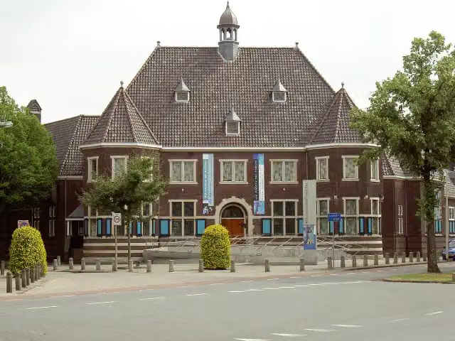 Rijksmuseum TwentheMuseum · 333 m from the route
- 2
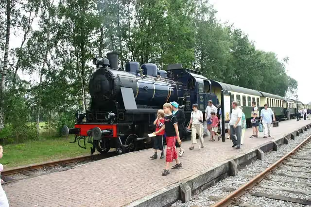 SeinhuisjeAttraction · 4.5 km from the route
- 3
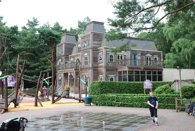 Discovery ClubAttraction · 2.9 km from the route
- 4
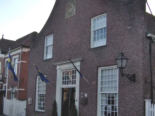 BussemakerhuisMuseum · 729 m from the route
- 5
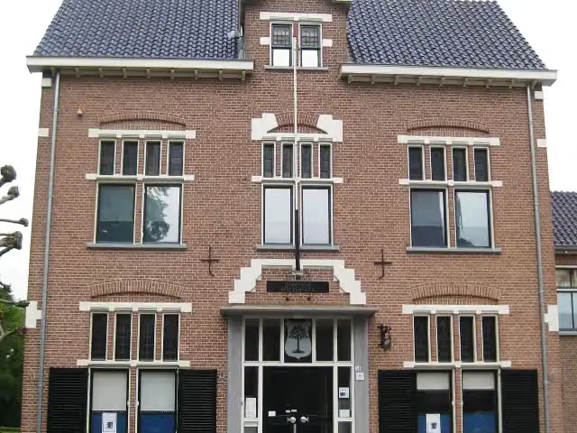 Historisch Museum VriezenveenMuseum · 1.6 km from the route
- 6
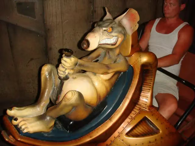 RioolratAttraction · 2.8 km from the route
- 7
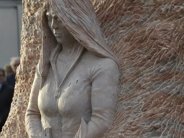 ExhortareMemorial · 1.4 km from the route
- 8
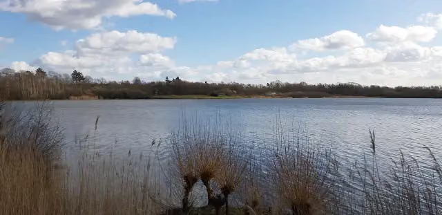 UitkijktorenObservation tower · 8.3 km from the route
- 9
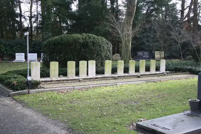 Erehof HellendoornMemorial · 1.6 km from the route
- 10
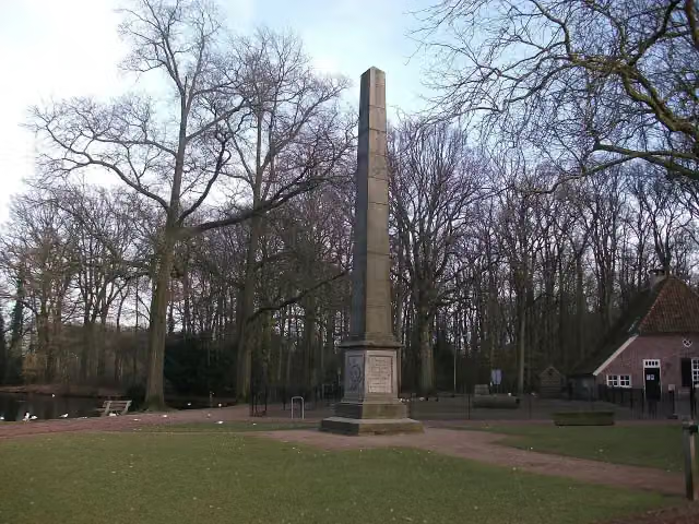 Gedenknaald Ter HorstMemorial · 5.8 km from the route
- 11
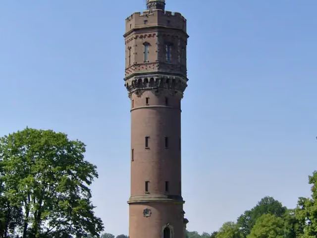 Watertoren Twickel (1894)Attraction · 4.2 km from the route
- 12
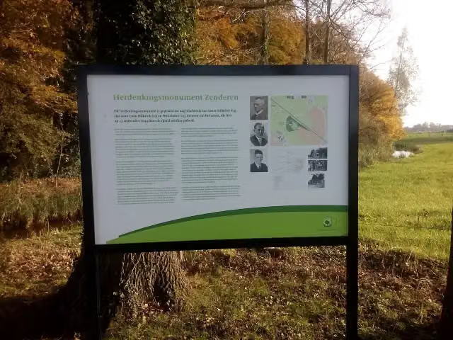 Oorlogsmonument Huize LidwinaMemorial · 177 m from the route
- 13
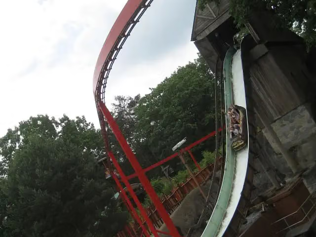 Wild WatervalAttraction · 2.5 km from the route
- 14
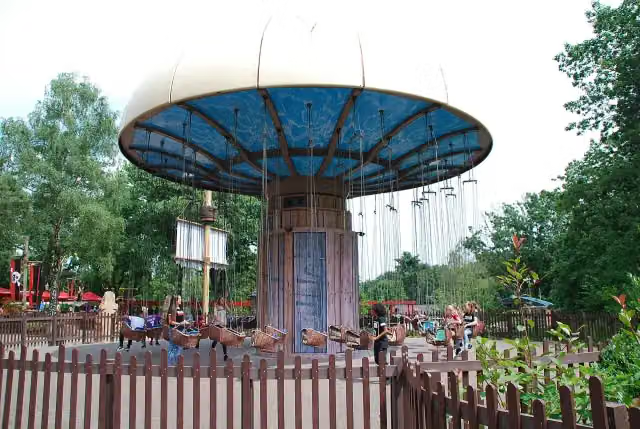 Piraat EnterhaakAttraction · 2.5 km from the route
- 15
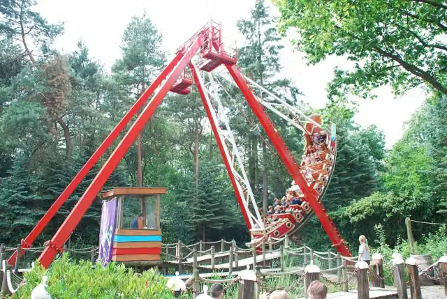 Het GaljoenAttraction · 2.5 km from the route
- 16
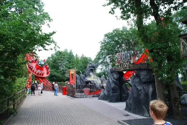 DrakennestAttraction · 2.6 km from the route
- 17
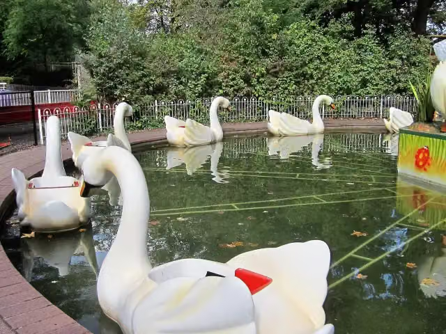 ZwanenmolenAttraction · 2.6 km from the route
- 18
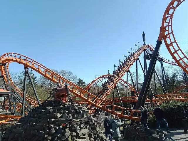 BalagosAttraction · 2.6 km from the route
- 19
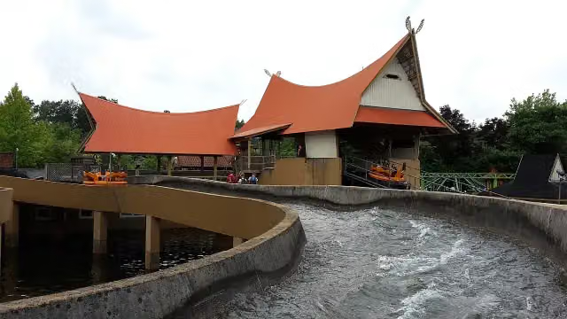 Sungai KalimantanAttraction · 2.8 km from the route
- 20
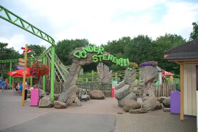 DonderstenenAttraction · 2.8 km from the route
- 21
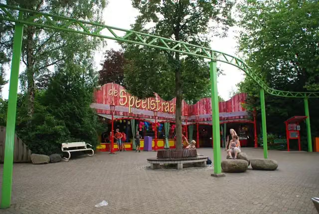 Dino Sky PedaloAttraction · 2.8 km from the route
- 22
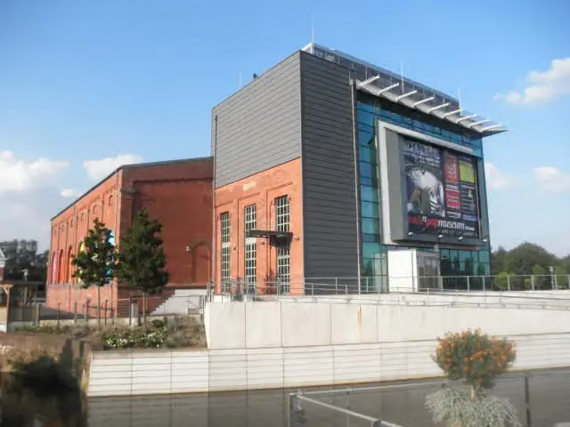 Rock'n'PopmuseumMuseum · 8.8 km from the route
- 23
 Museum Electro-Radio-NostalgieMuseum · 2 km from the route
- 24Fort KnalKruitAttraction · 2.5 km from the route
- 25OldtimersAttraction · 2.6 km from the route
Explore more
More cycle routes around Hellendoorn
More nearby
Frequently asked questions
How long is Fietssnelweg F35?
Fietssnelweg F35 is 35.9 km long, in 3 stages of 12 km on average. Allow ± 50 min per stage of riding: 15 km an hour, without breaks.
Is this route a circular ride?
No, the route starts and ends at different spots.
Where does this route start?
The route starts in Hellendoorn.
How hard is this route?
Easy per stage, with 16 m per stage of climbing.
Are there toilets along this route?
Yes, there are 2 public toilets within 100 m of the route.
Can you fill up with water along this route?
Yes, there are 6 water fountains and refill points within 100 m of the route.
What is there to see along this route?
Along the way you pass Observation tower, Museum Hengelo and De Museumfabriek.
Start place
More routes from this place
Route data © OpenStreetMap contributors





