 Outdoor Pitstop
Cycle route · Großenbrode · Updated on 14 November 2026
D2 Ostseeküsten-Radweg - Abschnitt SH-Südost cycle route
D2 Ostseeküsten-Radweg - Abschnitt SH-Südost is a cycle route of 97.8 km from Großenbrode. Along the way you'll find 816 benches, 7 water fountains and refill points, 92 public toilets and 22 bike pumps.
i
i
i
The route step by step
From start to finish, with what you pass along the way and the distance in between.
- 97.8 km
- ± 6:30 h
- ↑ 166 m · ↓ 167 m
- Hard
- From A to B
- National route
Start in Großenbrode
0 km6.8 km · 15 benches
Public toilet
6.8 km284 m · 3 benches
Water point
7.1 km22.1 km · 17 benches
Bike pump
29.2 km454 m
Public toilet
29.6 km1.1 km · 2 benches
2 public toilets
30.8 km377 m · bench
Public toilet
31.1 km320 m
2 public toilets
31.5 km749 m · 6 benches
2 public toilets and bike pump
32.2 km357 m · 4 benches
2 public toilets
32.6 km165 m · bench
Bike pump
32.7 km177 m · 4 benches
Public toilet
32.9 km285 m · bench
Public toilet and bike pump
33.2 km215 m · 8 benches
2 public toilets
33.4 km698 m · 5 benches
Bike pump
34.1 km1.4 km · 4 benches

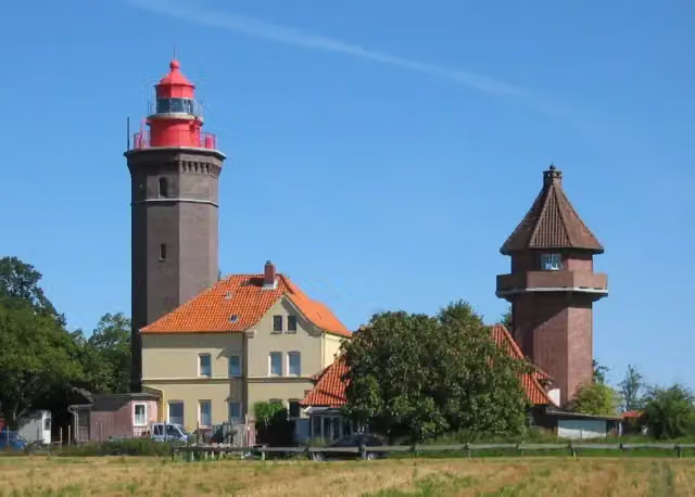
Leuchtturm Dahmeshöved
35.5 kmViewpoint
3.6 km · 17 benches
Public toilet
39.1 km314 m · 6 benches
Public toilet
39.5 km249 m · 6 benches
Public toilet
39.7 km188 m · 9 benches
Public toilet and water point
39.9 km183 m · 5 benches
Public toilet and bike pump
40.1 km380 m · 11 benches
Public toilet
40.5 km3.2 km · 5 benches
Public toilet and bike pump
43.7 km844 m · 2 benches
DLRG Turm 14
44.5 kmPublic toilet
422 m
DLRG Turm 13
45 kmObservation tower
413 m · 2 benches
Public toilet
45.4 km709 m · 9 benches
Public toilet
46.1 km408 m
Bike pump
46.5 km1.8 km · 11 benches
Public toilet and bike pump
48.3 km6.5 km · 13 benches
Public toilet
54.8 km
Show the other 65 steps
3.3 km
Water point
58.1 km897 m
Public toilet and water point
59 km836 m · 9 benches
Public toilet
59.8 km455 m · 13 benches
Public toilet
60.3 km934 m · 12 benches
Public toilet
61.2 km2.5 km · 12 benches
2 water fountains and refill points
63.7 km2.3 km · 30 benches
Public toilet
66 km284 m · 2 benches
Bike pump
66.2 km388 m · 6 benches
Public toilet
66.6 km219 m · 4 benches
Public toilet
66.9 km747 m · 19 benches
Public toilet
67.6 km796 m · 4 benches
Public toilet
68.4 km4.7 km
3 public toilets and water point
73.1 km1.9 km · 16 benches
Public toilet and bike pump
75 km534 m · 7 benches
Public toilet
75.5 km473 m · 6 benches
Public toilet
76 km522 m · 20 benches
Public toilet
76.5 km300 m · 15 benches
Public toilet
76.8 km271 m · 17 benches
Public toilet
77.1 km461 m · 7 benches
Public toilet
77.6 km274 m · 9 benches
2 public toilets
77.8 km203 m · 2 benches
Public toilet
78 km174 m · 3 benches
Bike pump
78.2 km181 m · 3 benches
2 public toilets
78.4 km444 m · 7 benches
Public toilet
78.8 km332 m · 12 benches
Public toilet
79.2 km156 m · 8 benches
2 public toilets and bike pump
79.3 km402 m · 16 benches
Public toilet
79.7 km165 m
Public toilet
79.9 km282 m
Public toilet and bike pump
80.2 km740 m · 10 benches
Public toilet and bike pump
80.9 km188 m · 2 benches
Public toilet
81.1 km304 m · 2 benches
Public toilet
81.4 km464 m
Public toilet
81.9 km344 m · 10 benches
Public toilet
82.2 km375 m · 13 benches
Public toilet
82.6 km540 m · 18 benches
Bike pump
83.1 km399 m · 6 benches
Public toilet
83.5 km282 m · 5 benches
Public toilet
83.8 km273 m · 7 benches
Public toilet
84.1 km316 m · 8 benches
Public toilet and bike pump
84.4 km794 m · 42 benches
Public toilet
85.2 km400 m · 3 benches
Public toilet and bike pump
85.6 km274 m · 3 benches
Public toilet
85.9 km415 m · 8 benches
Public toilet
86.3 km258 m · 7 benches
Gruppe 47
86.5 kmPublic toilet and bike pump
352 m · 13 benches
Public toilet
86.9 km3.4 km · 13 benches
Public toilet
90.3 km716 m · 5 benches
Gedenkstein für Seebestattungen
91 kmMemorial
283 m · 5 benches
Bike pump
91.3 km516 m · 4 benches
2 public toilets
91.8 km478 m · 17 benches
Public toilet
92.3 km203 m · 19 benches
Public toilet
92.5 km296 m · 15 benches
Public toilet
92.8 km298 m · 10 benches
Public toilet
93.1 km749 m · 48 benches
Public toilet
93.9 km699 m · 49 benches
Public toilet
94.6 km308 m · 6 benches
Public toilet and bike pump
94.9 km471 m · 5 benches
2 public toilets
95.3 km429 m · 21 benches
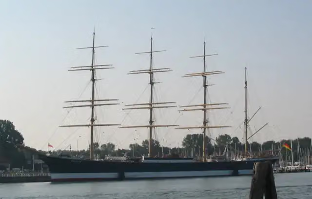
Museumsschiff Passat
95.8 kmPublic toilet
200 m · 8 benches
2 public toilets
96 km401 m · 2 benches
Public toilet and bike pump
96.4 km501 m · 3 benches
Public toilet
96.9 km431 m
Public toilet
97.3 km495 m · 2 benches
Finish
97.8 km
Longest stretch without a toilet: 22.8 kmBetween 6.8 km and 29.6 km there is no public toilet within 100 m of the route.
The route with the pitstops and sights within 100 m of it.
6 sights along the way
In the order you pass them. With the Outdoor Pitstop app you hear their story on the spot.
i
Photo: Malte Tychsen at de.wikipedia · Wikimedia Commons · CC BY-SA 2.0 deView the photo on Wikimedia CommonsViewpoint · after 35.5 km

Observation tower · after 44.5 km
Observation tower · after 45 km
Memorial · after 86.6 km
Memorial · after 91 km
i
Photo: The original uploader was Asterion at English Wikipedia. · Wikimedia Commons · CC BY-SA 2.5View the photo on Wikimedia CommonsMuseum · after 95.8 km
Elevation and terrain
- Up
- ↑ 166 m
- Down
- ↓ 167 m
- Highest point
- 54 m
- Lowest point
- 1 m
- 1 flight of stairs
Elevation from Copernicus GLO-30 (European Union and ESA), smoothed.
produced using Copernicus WorldDEM-30 © DLR e.V. 2010-2014 and © Airbus Defence and Space GmbH 2014-2018 provided under COPERNICUS by the European Union and ESA; all rights reserved
Way types
97.8 km in total- Street: 25.9 km
- Road: 25.6 km
- Path: 22.7 km
- Cycle path: 10.4 km
- Track: 7 km
- Footpath (walk your bike): 5.3 km
- Busy road: 425 m
- Steps (carry your bike): 1 flight of stairs
- Unknown: 200 m
Surfaces
97.8 km in total- Asphalt: 69.6 km
- Gravel: 18.4 km
- Paved: 8.5 km
- Unpaved: 150 m
- Unknown: 825 m
About the cycle route D2 Ostseeküsten-Radweg - Abschnitt SH-Südost
Updated on 14 November 2026, with data from OpenStreetMap, the AHN and Copernicus.
Where do you cycle?
D2 Ostseeküsten-Radweg - Abschnitt SH-Südost is a cycle route of 97.8 km that starts in Großenbrode. It does not end where it starts. You start in Großenbrode and finish in Priwall. Along the way you pass Leuchtturm Dahmeshöved (after 35.5 km), DLRG Turm 14 (after 44.5 km) and DLRG Turm 13 (after 45 km).
How hard is the route?
You climb 166 m in total and descend 167 m. There is 1 flight of steps along the way. Allow ± 6:30 h, without breaks. The level is hard.
What roads do you cycle on?
The longest part is street (25.9 km), road (25.6 km) and path (22.7 km). Of the surface, 69.6 km asphalt and 18.4 km gravel. For 825 m the surface is not known.
Pitstops along the way
Within 100 metres of the route there are 816 benches, 7 water fountains and refill points, 92 public toilets and 22 bike pumps. You can fill your bottle after 7.1 km, after 39.9 km, after 58.1 km, after 59 km, after 63.7 km and after 73.2 km. The longest stretch without a toilet is 22.8 km. The Outdoor Pitstop app navigates you there.
Part of Ostseeküsten-Radweg
Cycle routes nearby
6- D2 Ostseeküsten-Radweg - Abschnitt SH-OstHard · From A to B122.7 km
- D2 Ostseeküsten-Radweg - Abschnitt FehmarnEasy · From A to B2.4 km
- EV10 Ostseeküsten-Radweg - Abschnitt Deutschland SH-SüdostHard · From A to B97.8 km
- EV10 Ostseeküsten-Radweg - Abschnitt Deutschland SH-OstHard · From A to B122.7 km
- EV10 Ostseeküsten-Radweg - Abschnitt Deutschland FehmarnEasy · From A to B2.4 km
- MönchswegHard · From A to B340.8 km
Sights nearby
Within 10 km of the route, best known first.
- 1
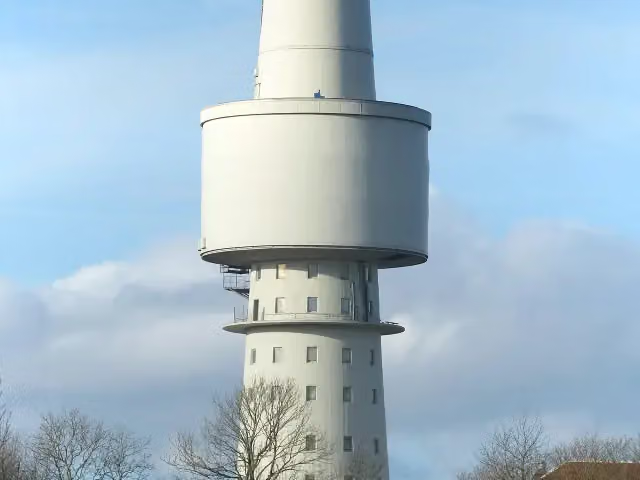 OceantowerObservation tower · 1.8 km from the route
- 2
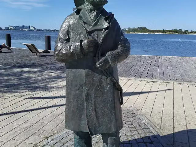 Fischer StuebenMemorial · 4.4 km from the route
- 3
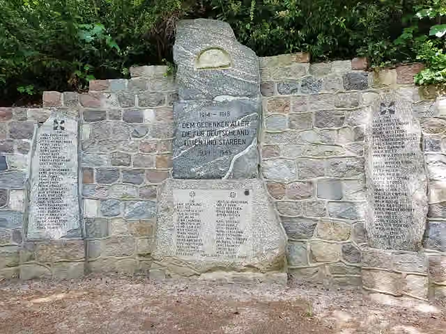 KriegerdenkmalMemorial · 120 m from the route
- 4
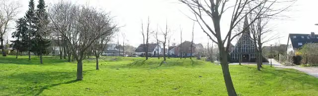 WittenwiewerbargArchaeological site · 164 m from the route
- 5
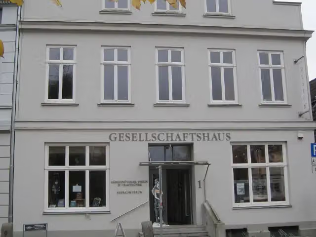 Seebadmuseum TravemündeMuseum · 196 m from the route
- 6
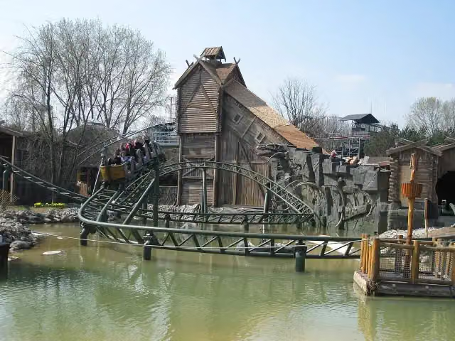 Schlange von MidgardAttraction · 264 m from the route
- 7
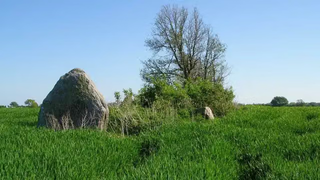 Langbett GroßenbrodeArchaeological site · 597 m from the route
- 8
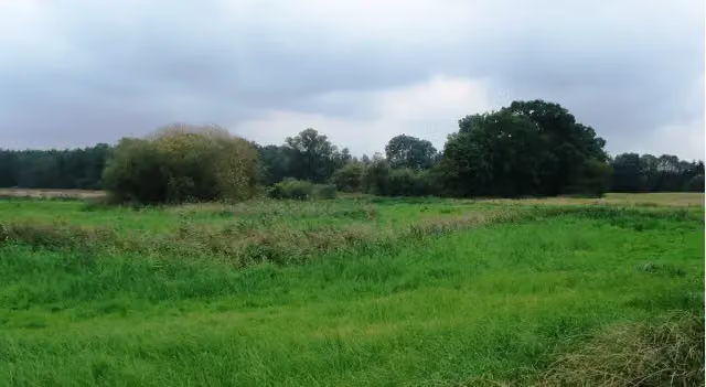 SnykrodeArchaeological site · 713 m from the route
- 9
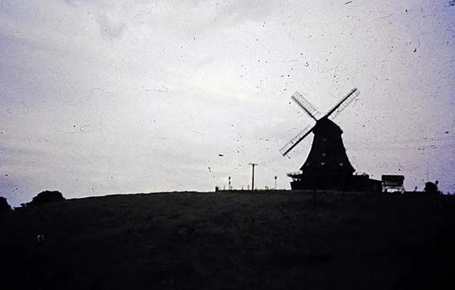 Brodauer MühleRuins · 2.3 km from the route
- 10
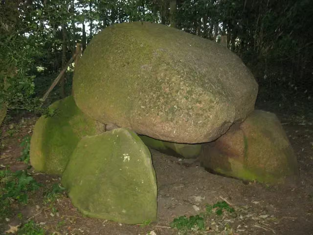 Großsteingrab AlbertsdorfArchaeological site · 2.4 km from the route
- 11
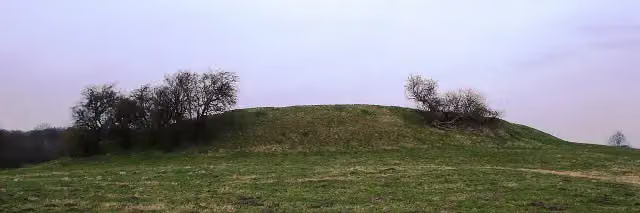 Süseler SchanzeArchaeological site · 2.5 km from the route
- 12
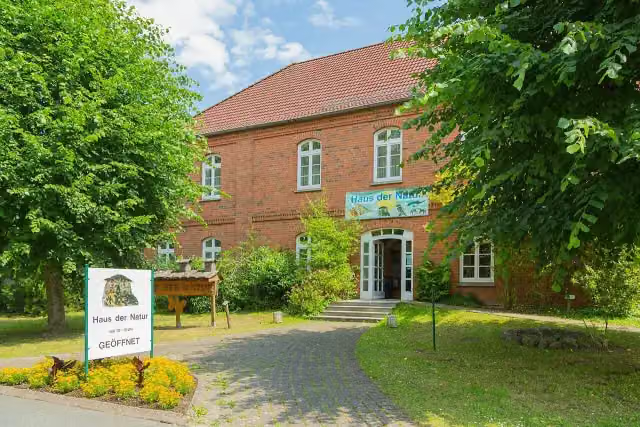 Haus der NaturMuseum · 3.2 km from the route
- 13
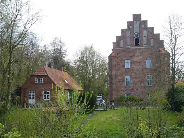 Kloster CismarAttraction · 3.2 km from the route
- 14
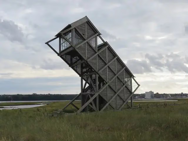 Beobachtungsturm GraswarderObservation tower · 3.3 km from the route
- 15
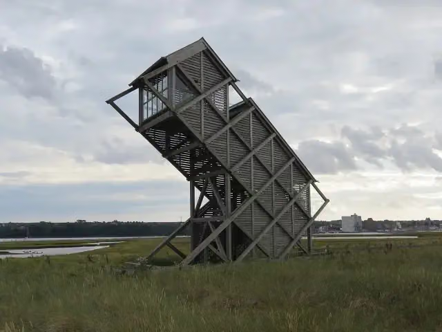 Beobachtungsturm GraswarderObservation tower · 3.3 km from the route
- 16
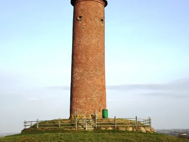 Gömnitzer TurmViewpoint · 3.3 km from the route
- 17
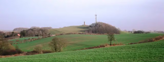 Gömnitzer BergViewpoint · 3.3 km from the route
- 18
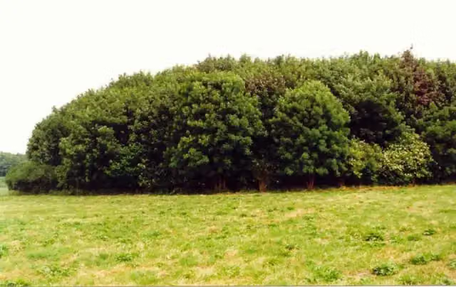 Burgwall FeldhusenAttraction · 3.5 km from the route
- 19
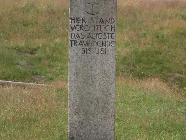 Stülper HukMemorial · 3.9 km from the route
- 20
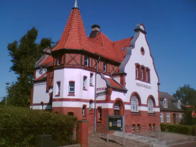 HeimatmuseumMuseum · 4.2 km from the route
- 21
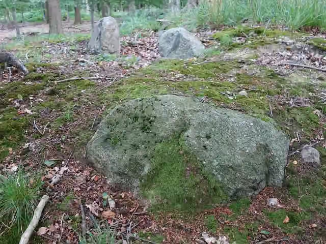 Großsteingrab CismarArchaeological site · 4.2 km from the route
- 22
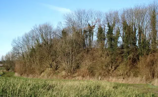 Pöppendorfer RingwallArchaeological site · 4.5 km from the route
- 23
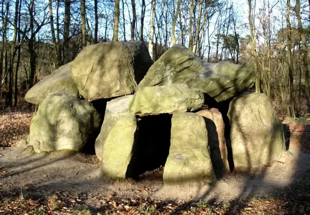 Pöppendorfer GroßsteingrabArchaeological site · 5.1 km from the route
- 24
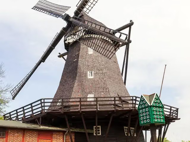 MühlenmuseumMuseum · 6 km from the route
- 25
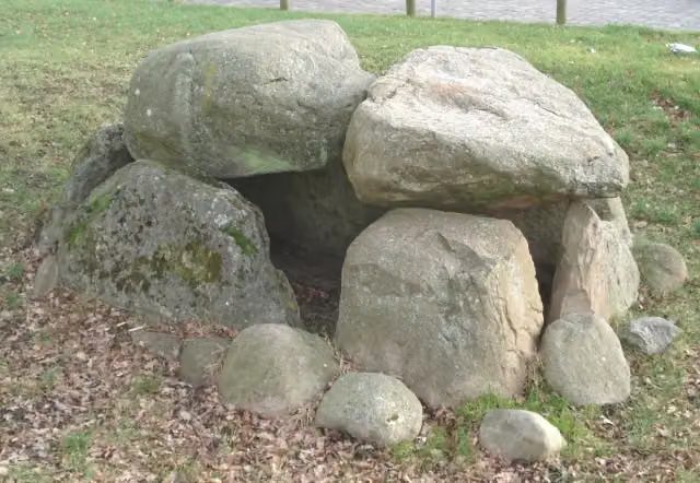 Großsteingrab RatekauArchaeological site · 6.1 km from the route
Explore more
More cycle routes around Großenbrode
Frequently asked questions
How long is D2 Ostseeküsten-Radweg - Abschnitt SH-Südost?
D2 Ostseeküsten-Radweg - Abschnitt SH-Südost is 97.8 km long. Allow ± 6:30 h of riding: 15 km an hour, without breaks.
Is this route a circular ride?
No, the route runs from Großenbrode to Priwall.
Where does this route start?
The route starts in Großenbrode.
How hard is this route?
Hard, with 166 m of climbing.
Are there toilets along this route?
Yes, there are 92 public toilets within 100 m of the route. The longest stretch without a toilet is 22.8 km.
Can you fill up with water along this route?
Yes, there are 7 water fountains and refill points within 100 m of the route.
What is there to see along this route?
Along the way you pass Leuchtturm Dahmeshöved, DLRG Turm 14 and DLRG Turm 13.
Can I download this route as a GPX file?
Yes. Sign in with your Outdoor Pitstop account and choose Download GPX at the top of this page: 10 routes a month for free, unlimited with Pro.
Starting point
More routes from this place
Route data © OpenStreetMap contributors





