 Outdoor Pitstop
Cycle route · Kiel · Updated on 14 November 2026
D2 Ostseeküsten-Radweg - Abschnitt SH-Ost cycle route
D2 Ostseeküsten-Radweg - Abschnitt SH-Ost is a cycle route of 122.7 km from Kiel. Along the way you'll find 885 benches, 4 water fountains and refill points, 82 public toilets, 9 bike pumps and 3 honesty boxes and farm vending machines.
i
i
i
The route step by step
From start to finish, with what you pass along the way and the distance in between.
- 122.7 km
- ± 8:10 h
- ↑ 328 m · ↓ 326 m
- Hard
- From A to B
- National route
Start in Kiel
0 km2.8 km · 32 benches
Public toilet and 2 water fountains and refill points
2.8 km1.4 km · 2 benches
Public toilet
4.2 km1.2 km · 2 benches
Public toilet
5.4 km7.8 km · 44 benches

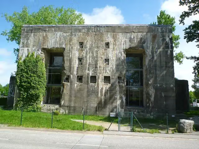
T-750 Kiel I Flandernbunker
13.1 kmMuseum
1.3 km · 24 benches
Public toilet
14.4 km1 km · 51 benches
2 public toilets
15.4 km580 m · 24 benches
2 public toilets and bike pump
16 km1 km · 53 benches
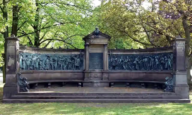
Kieler Kriegerdenkmal 1870/71
17 kmMemorial
188 m · 11 benches
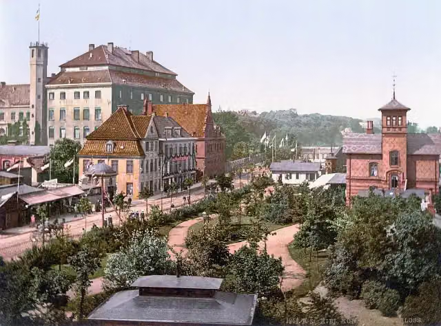
Ostflügel
17.2 kmCastle
159 m
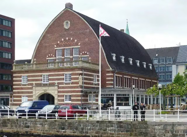
Schifffahrtsmuseum
17.4 kmMuseum
654 m · 8 benches
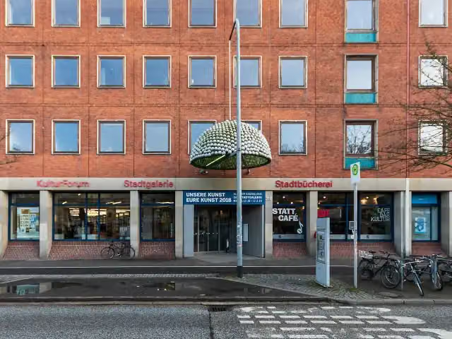
Stadtgalerie
18 kmMuseum
318 m · 6 benches
Public toilet
18.3 km335 m · 26 benches
Museumshafen
18.7 kmAttraction
1.3 km · 31 benches
Bike pump
20 km3 km · 31 benches
Public toilet
23 km456 m · 18 benches
Public toilet
23.4 km534 m
16 public toilets
24 km2 km · 4 benches
Bike pump
26 km845 m · 8 benches
Public toilet
26.8 km801 m · 11 benches
Public toilet
27.6 km2.6 km · 25 benches
Public toilet
30.2 km255 m · 6 benches
Public toilet
30.4 km200 m · 12 benches
Public toilet
30.6 km353 m · 30 benches
Public toilet
31 km2.7 km · 18 benches
Public toilet
33.7 km340 m · 5 benches
Public toilet and water point
34.1 km280 m · 26 benches
Public toilet
34.3 km264 m · 20 benches
2 public toilets
34.6 km665 m · 19 benches
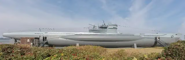
U-995 and 1 more
35.3 kmLaboe Naval Memorial and public toilet
Show the other 44 steps
1.2 km · 15 benches
Public toilet
36.4 km201 m
Public toilet
36.6 km311 m
Public toilet
37 km2.1 km · 15 benches
Public toilet
39.1 km349 m · 8 benches
Public toilet
39.4 km341 m · 30 benches
2 public toilets and bike pump
39.8 km1.3 km · 22 benches
Public toilet
41 km2 km · 14 benches
Public toilet
43 km1.5 km · bench
Public toilet
44.5 km405 m · bench
2 public toilets
44.9 km223 m
Public toilet
45.1 km711 m · 5 benches
3 public toilets and water point
45.8 km413 m · 7 benches
Public toilet
46.2 km474 m · 2 benches
Public toilet
46.7 km274 m
Public toilet
47 km221 m
Public toilet
47.2 km651 m
Public toilet
47.9 km1.3 km · 7 benches
Public toilet
49.2 km484 m · 2 benches
Public toilet
49.7 km411 m · 3 benches
Public toilet
50.1 km232 m · 2 benches
Public toilet
50.3 km15.2 km · 8 benches
Honesty box
65.5 km1.6 km · bench
Honesty box
67.1 km4.8 km · 3 benches
Public toilet
71.9 km875 m · 6 benches
Public toilet
72.8 km2.8 km · 24 benches
Public toilet
75.6 km7.2 km · 7 benches
Public toilet
82.8 km697 m
Public toilet
83.5 km1.8 km · 4 benches
Public toilet
85.3 km621 m
Public toilet
85.9 km6.6 km · 23 benches
Bike pump
92.5 km965 m · 8 benches
Public toilet
93.5 km14.6 km · bench
Public toilet
108.1 km299 m · 2 benches
Public toilet
108.4 km596 m · 22 benches
Public toilet
109 km372 m · 20 benches
Public toilet
109.4 km1.1 km · 25 benches
Public toilet
110.5 km266 m · 13 benches
Fischer Stueben
110.8 km3 public toilets and bike pump
443 m · 20 benches
Bike pump
111.2 km151 m
Public toilet and bike pump
111.4 km7.9 km · 10 benches
Bike pump
119.3 km547 m · 4 benches
Public toilet
119.8 km177 m
Honesty box
120 km2.7 km · 3 benches
Finish
122.7 km
Longest stretch without a toilet: 21.6 kmBetween 50.3 km and 71.9 km there is no public toilet within 100 m of the route.
The route with the pitstops and sights within 100 m of it.
9 sights along the way
In the order you pass them. With the Outdoor Pitstop app you hear their story on the spot. 1 more along the route are on the map.
i
Photo: Wusel007 · Wikimedia Commons · CC BY-SA 3.0View the photo on Wikimedia CommonsMuseum · after 13.1 km
i
Photo: VollwertBIT · Wikimedia Commons · CC BY-SA 2.5View the photo on Wikimedia CommonsMemorial · after 17 km
Castle · after 17.2 km
i
Photo: Holger.Ellgaard · Wikimedia Commons · CC BY-SA 3.0View the photo on Wikimedia CommonsMuseum · after 17.4 km
i
Photo: Matthias Süßen · Wikimedia Commons · CC BY-SA 4.0View the photo on Wikimedia CommonsMuseum · after 18 km

Attraction · after 18.7 km
U-995
Attraction · after 35.3 km
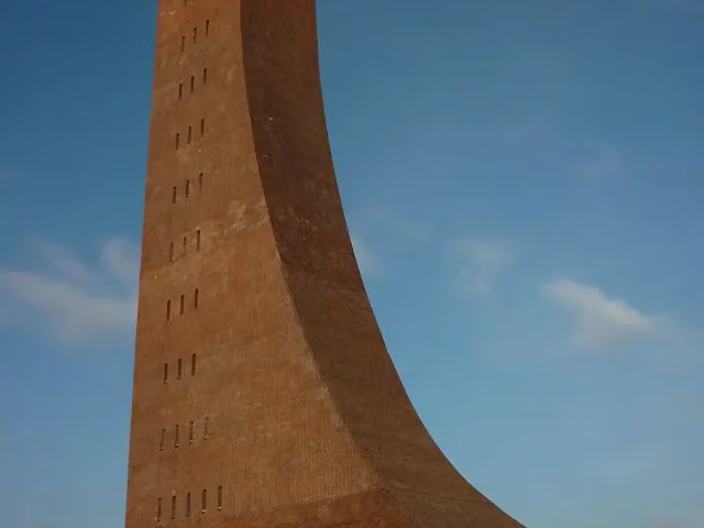
Laboe Naval Memorial
Monument · after 35.4 km
Elevation and terrain
- Up
- ↑ 328 m
- Down
- ↓ 326 m
- Highest point
- 47 m
- Lowest point
- 1 m
- 1 flight of stairs
Elevation from Copernicus GLO-30 (European Union and ESA), smoothed.
produced using Copernicus WorldDEM-30 © DLR e.V. 2010-2014 and © Airbus Defence and Space GmbH 2014-2018 provided under COPERNICUS by the European Union and ESA; all rights reserved
Way types
122.7 km in total- Path: 47.8 km
- Road: 35.4 km
- Street: 24.3 km
- Footpath (walk your bike): 5.4 km
- Track: 4.9 km
- Cycle path: 3.9 km
- Busy road: 325 m
- Steps (carry your bike): 1 flight of stairs
- Unknown: 400 m
Surfaces
122.7 km in total- Asphalt: 93.2 km
- Paved: 11.9 km
- Gravel: 5.8 km
- Unpaved: 25 m
- Unknown: 11.6 km
About the cycle route D2 Ostseeküsten-Radweg - Abschnitt SH-Ost
Updated on 14 November 2026, with data from OpenStreetMap, the AHN and Copernicus.
Where do you cycle?
D2 Ostseeküsten-Radweg - Abschnitt SH-Ost is a cycle route of 122.7 km that starts in Kiel. It does not end where it starts. You start in Schilksee and finish in Großenbrode. Along the way you pass T-750 Kiel I Flandernbunker (after 13.1 km), Kieler Kriegerdenkmal 1870/71 (after 17 km) and Ostflügel (after 17.2 km).
How hard is the route?
You climb 328 m in total and descend 326 m. There is 1 flight of steps along the way. Allow ± 8:10 h, without breaks. The level is hard.
What roads do you cycle on?
The longest part is path (47.8 km), road (35.4 km) and street (24.3 km). Of the surface, 93.2 km asphalt and 11.9 km paved. For 11.6 km the surface is not known.
Pitstops along the way
Within 100 metres of the route there are 885 benches, 4 water fountains and refill points, 82 public toilets, 9 bike pumps and 3 honesty boxes and farm vending machines. You can fill your bottle after 2.8 km, after 34.1 km and after 45.8 km. The longest stretch without a toilet is 21.6 km. The Outdoor Pitstop app navigates you there.
Part of Ostseeküsten-Radweg
Cycle routes nearby
4Sights nearby
Within 10 km of the route, best known first.
- 1
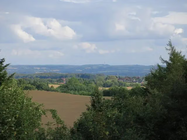 BungsbergViewpoint · 9 km from the route
- 2
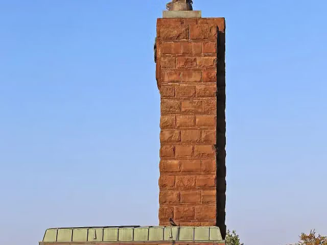 U-Boat Memorial MöltenortMonument · 166 m from the route
- 3
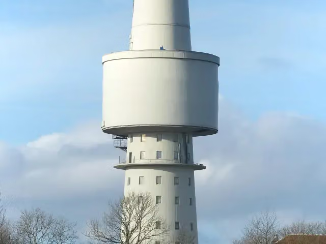 OceantowerObservation tower · 1.3 km from the route
- 4
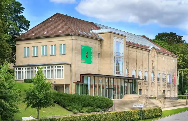 KunsthalleMuseum · 70 m from the route
- 5
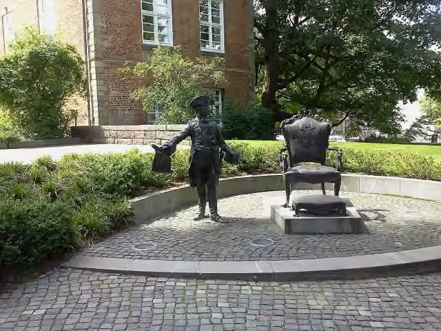 Denkmal für Zar Peter IIIMemorial · 82 m from the route
- 6
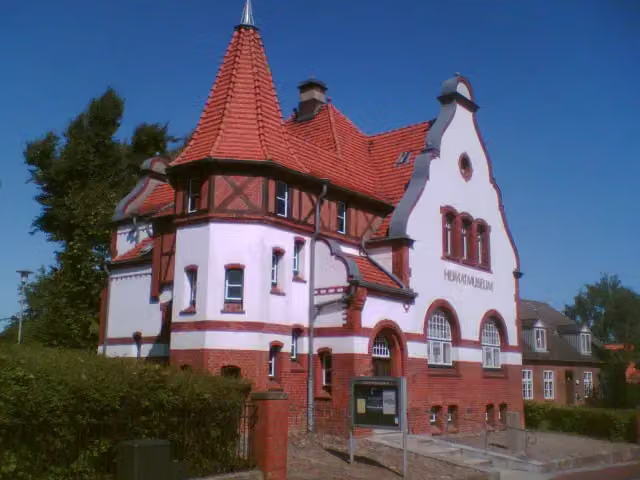 HeimatmuseumMuseum · 104 m from the route
- 7
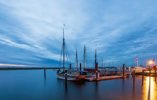 Museumshafen ProbsteiMuseum · 120 m from the route
- 8
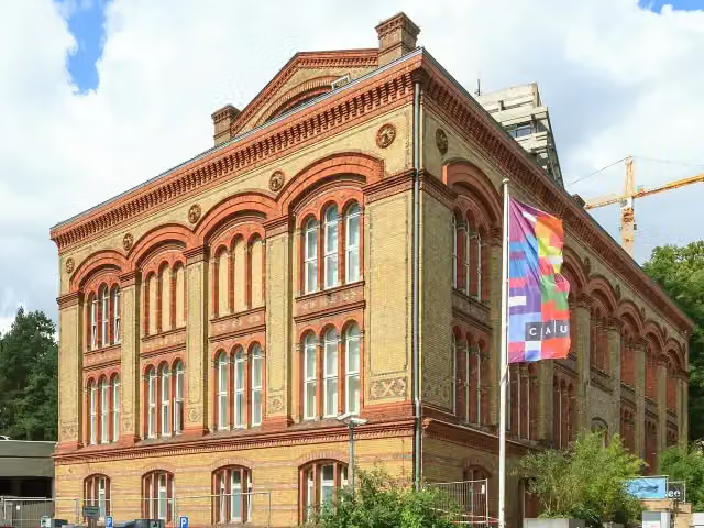 Zoologisches MuseumMuseum · 135 m from the route
- 9
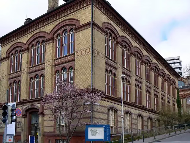 Medizinhistorisches MuseumMuseum · 141 m from the route
- 10
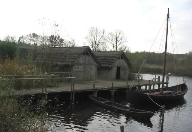 Oldenburger WallmuseumMuseum · 146 m from the route
- 11
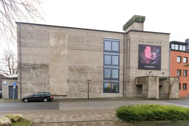 Computermuseum - HAW Kiel (C21)Museum · 179 m from the route
- 12
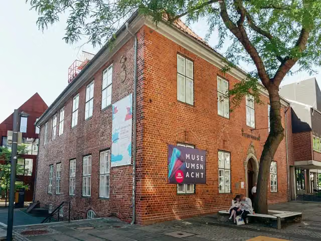 Warleberger HofMuseum · 183 m from the route
- 13
 SealevelMuseum · 244 m from the route
- 14
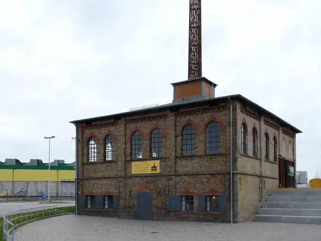 Howaldtsche MetallgießereiMuseum · 303 m from the route
- 15
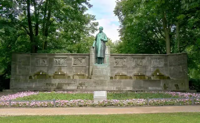 Klaus-Groth-BrunnenMemorial · 331 m from the route
- 16
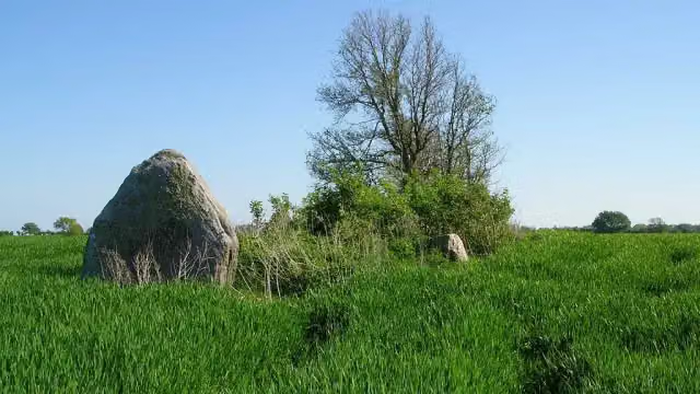 Langbett GroßenbrodeArchaeological site · 363 m from the route
- 17
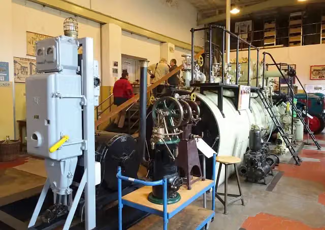 Maschinenmuseum Kiel-WikMuseum · 433 m from the route
- 18
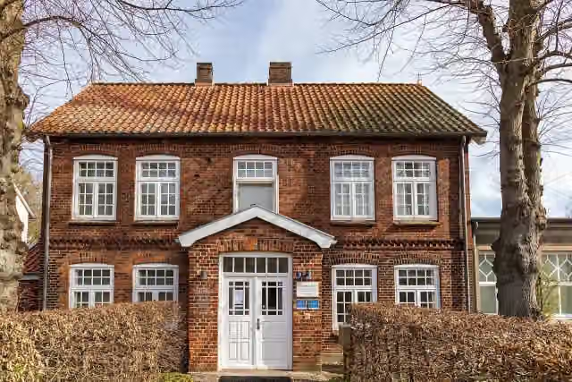 Künstlermuseum HeikendorfMuseum · 454 m from the route
- 19
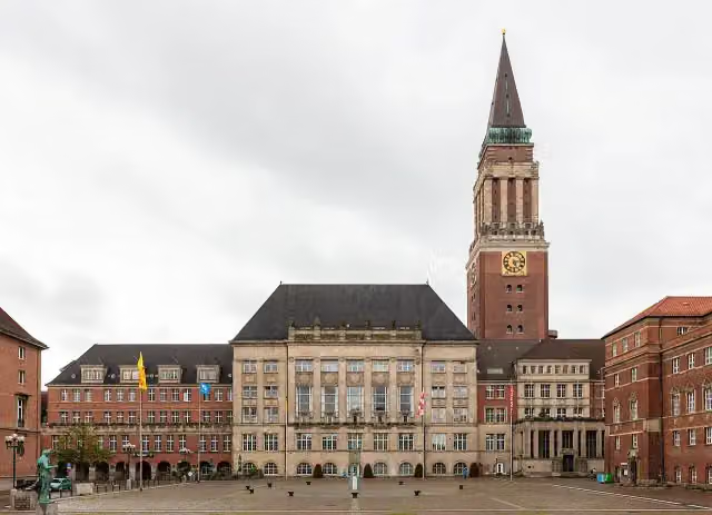 RathausturmViewpoint · 494 m from the route
- 20
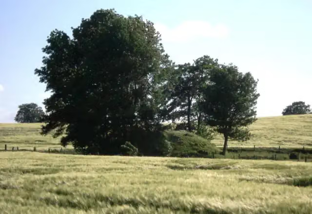 Döhnsdorfer BurgArchaeological site · 585 m from the route
- 21
 TweltenbergeArchaeological site · 595 m from the route
- 22
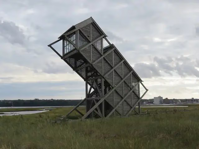 Beobachtungsturm GraswarderObservation tower · 969 m from the route
- 23
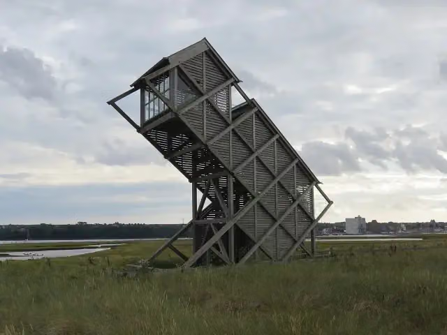 Beobachtungsturm GraswarderObservation tower · 969 m from the route
- 24
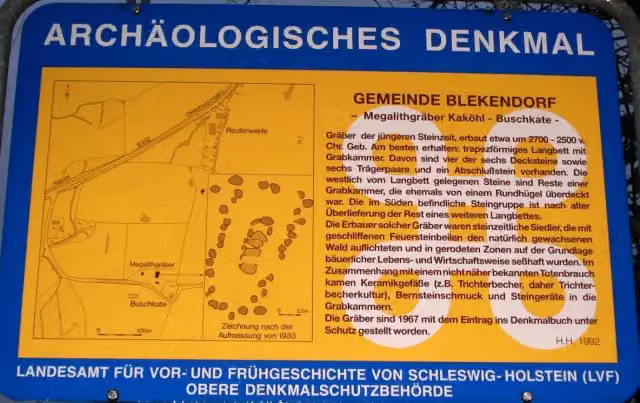 Großsteingrab Kaköhl 2Archaeological site · 994 m from the route
- 25
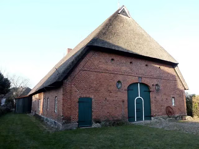 Schmidt-HausAttraction · 2.5 km from the route
Explore more
Frequently asked questions
How long is D2 Ostseeküsten-Radweg - Abschnitt SH-Ost?
D2 Ostseeküsten-Radweg - Abschnitt SH-Ost is 122.7 km long. Allow ± 8:10 h of riding: 15 km an hour, without breaks.
Is this route a circular ride?
No, the route runs from Schilksee to Großenbrode.
Where does this route start?
The route starts in Kiel.
How hard is this route?
Hard, with 328 m of climbing.
Are there toilets along this route?
Yes, there are 82 public toilets within 100 m of the route. The longest stretch without a toilet is 21.6 km.
Can you fill up with water along this route?
Yes, there are 4 water fountains and refill points within 100 m of the route.
What is there to see along this route?
Along the way you pass T-750 Kiel I Flandernbunker, Kieler Kriegerdenkmal 1870/71 and Ostflügel.
Can I download this route as a GPX file?
Yes. Sign in with your Outdoor Pitstop account and choose Download GPX at the top of this page: 10 routes a month for free, unlimited with Pro.
Starting point
More routes from this place
Route data © OpenStreetMap contributors





