 Outdoor Pitstop
Cycle route · Dassow · Updated on 14 November 2026
EV10 Ostseeküsten-Radweg - Abschnitt Deutschland SH-Südost cycle route
EV10 Ostseeküsten-Radweg - Abschnitt Deutschland SH-Südost is a cycle route of 97.8 km from Dassow. Along the way you'll find 816 benches, 7 water fountains and refill points, 92 public toilets and 22 bike pumps.
i
i
i
The route step by step
From start to finish, with what you pass along the way and the distance in between.
- 97.8 km
- ± 6:30 h
- ↑ 163 m · ↓ 161 m
- Hard
- From A to B
- International route
- Colour of the signs
Start in Dassow
0 km495 m · bench
Public toilet
495 m431 m
Public toilet
926 m459 m · bench
Public toilet and bike pump
1.4 km329 m · 3 benches
2 public toilets
1.7 km312 m · 9 benches

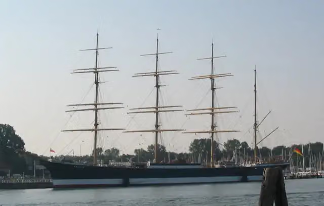
Museumsschiff Passat
2 kmPublic toilet
415 m · 21 benches
2 public toilets
2.4 km477 m · 5 benches
Public toilet and bike pump
2.9 km318 m · 6 benches
Public toilet
3.2 km699 m · 49 benches
Public toilet
3.9 km749 m · 48 benches
Public toilet
4.7 km298 m · 10 benches
Public toilet
5 km296 m · 16 benches
Public toilet
5.3 km203 m · 18 benches
Public toilet
5.5 km473 m · 17 benches
2 public toilets
6 km521 m · 4 benches
Bike pump
6.5 km283 m · 5 benches
Gedenkstein für Seebestattungen
6.8 kmMemorial
716 m · 5 benches
Public toilet
7.5 km3.4 km · 13 benches
Public toilet
10.9 km323 m · 13 benches
Gruppe 47
11.2 kmPublic toilet and bike pump
287 m · 7 benches
Public toilet
11.5 km415 m · 8 benches
Public toilet
11.9 km240 m · 3 benches
Public toilet and bike pump
12.2 km434 m · 3 benches
Public toilet
12.6 km738 m · 35 benches
Public toilet and bike pump
13.3 km372 m · 15 benches
Public toilet
13.7 km273 m · 7 benches
Public toilet
14 km282 m · 5 benches
Public toilet
14.3 km399 m · 7 benches
Bike pump
14.7 km540 m · 17 benches
Public toilet
15.2 km
Show the other 65 steps
375 m · 13 benches
Public toilet
15.6 km344 m · 10 benches
Public toilet
15.9 km464 m
Public toilet
16.4 km304 m · 2 benches
Public toilet and bike pump
16.7 km188 m · 2 benches
Public toilet
16.9 km736 m · 10 benches
Public toilet and bike pump
17.6 km286 m
Public toilet
17.9 km165 m
Public toilet
18.1 km310 m · 10 benches
2 public toilets and bike pump
18.4 km248 m · 14 benches
Public toilet
18.6 km332 m · 12 benches
Public toilet
19 km298 m · 5 benches
2 public toilets
19.3 km327 m · 5 benches
Bike pump
19.6 km174 m · 3 benches
Public toilet
19.8 km197 m · 2 benches
2 public toilets
20 km280 m · 9 benches
Public toilet
20.2 km461 m · 7 benches
Public toilet
20.7 km271 m · 17 benches
Public toilet
21 km300 m · 15 benches
Public toilet
21.3 km522 m · 20 benches
Public toilet
21.8 km473 m · 6 benches
Public toilet
22.3 km392 m · 2 benches
Public toilet and bike pump
22.7 km1.9 km · 13 benches
3 public toilets and water point
24.6 km4.8 km · 8 benches
Public toilet
29.4 km796 m · 4 benches
Public toilet
30.2 km747 m · 19 benches
Public toilet
31 km219 m · 4 benches
Public toilet
31.2 km388 m · 6 benches
Bike pump
31.6 km284 m · 2 benches
Public toilet
31.8 km2.3 km · 30 benches
2 water fountains and refill points
34.1 km2.5 km · 12 benches
Public toilet
36.6 km934 m · 12 benches
Public toilet
37.5 km455 m · 13 benches
Public toilet
38 km778 m · 9 benches
Public toilet and water point
38.8 km955 m
Water point
39.7 km3.3 km
Public toilet
43 km6.4 km · 6 benches
Public toilet and bike pump
49.4 km1.9 km · 18 benches
Bike pump
51.3 km408 m
Public toilet
51.7 km709 m · 9 benches
Public toilet
52.4 km413 m · 2 benches
DLRG Turm 13
52.8 kmObservation tower
339 m
DLRG Turm 14
53.2 kmPublic toilet
815 m · bench
Public toilet and bike pump
54 km3.4 km · 6 benches
Public toilet
57.3 km263 m · 8 benches
Public toilet and bike pump
57.6 km213 m · 7 benches
Public toilet and water point
57.8 km275 m · 10 benches
Public toilet
58.1 km249 m · 6 benches
Public toilet
58.3 km314 m · 6 benches
Public toilet
58.7 km3.6 km · 17 benches
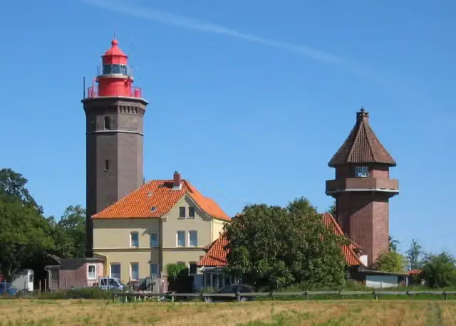
Leuchtturm Dahmeshöved
62.3 kmViewpoint
1.4 km · 4 benches
Bike pump
63.7 km695 m · 5 benches
2 public toilets
64.4 km195 m · 6 benches
Public toilet and bike pump
64.6 km308 m · 3 benches
Public toilet
64.9 km177 m · 4 benches
Public toilet and bike pump
65.1 km165 m · bench
Public toilet
65.2 km301 m · 4 benches
2 public toilets and bike pump
65.5 km730 m · 5 benches
2 public toilets
66.3 km395 m · bench
Public toilet
66.7 km301 m · bench
2 public toilets
67 km1.2 km · 2 benches
Public toilet
68.2 km454 m
Bike pump
68.6 km22.1 km · 17 benches
Water point
90.7 km284 m · 3 benches
Public toilet
91 km6.8 km · 16 benches
Finish
97.8 km
Longest stretch without a toilet: 22.8 kmBetween 68.2 km and 91 km there is no public toilet within 100 m of the route.
The route with the pitstops and sights within 100 m of it.
6 sights along the way
In the order you pass them. With the Outdoor Pitstop app you hear their story on the spot.
i
Photo: The original uploader was Asterion at English Wikipedia. · Wikimedia Commons · CC BY-SA 2.5View the photo on Wikimedia CommonsMuseum · after 2 km

Memorial · after 6.8 km
Memorial · after 11.2 km
Observation tower · after 52.8 km
Observation tower · after 53.3 km
i
Photo: Malte Tychsen at de.wikipedia · Wikimedia Commons · CC BY-SA 2.0 deView the photo on Wikimedia CommonsViewpoint · after 62.3 km
Elevation and terrain
- Up
- ↑ 163 m
- Down
- ↓ 161 m
- Highest point
- 54 m
- Lowest point
- 1 m
- 1 flight of stairs
Elevation from Copernicus GLO-30 (European Union and ESA), smoothed.
produced using Copernicus WorldDEM-30 © DLR e.V. 2010-2014 and © Airbus Defence and Space GmbH 2014-2018 provided under COPERNICUS by the European Union and ESA; all rights reserved
Way types
97.8 km in total- Street: 26 km
- Road: 25.5 km
- Path: 22.8 km
- Cycle path: 10.4 km
- Track: 7 km
- Footpath (walk your bike): 5.3 km
- Busy road: 425 m
- Steps (carry your bike): 1 flight of stairs
- Unknown: 200 m
Surfaces
97.8 km in total- Asphalt: 69.6 km
- Gravel: 18.4 km
- Paved: 8.6 km
- Unpaved: 125 m
- Unknown: 900 m
About the cycle route EV10 Ostseeküsten-Radweg - Abschnitt Deutschland SH-Südost
Updated on 14 November 2026, with data from OpenStreetMap, the AHN and Copernicus.
Where do you cycle?
EV10 Ostseeküsten-Radweg - Abschnitt Deutschland SH-Südost is a cycle route of 97.8 km that starts in Dassow. It does not end where it starts. Along the way you pass Museumsschiff Passat (after 2 km), Gedenkstein für Seebestattungen (after 6.8 km) and Gruppe 47 (after 11.2 km).
How hard is the route?
You climb 163 m in total and descend 161 m. There is 1 flight of steps along the way. Allow ± 6:30 h, without breaks. The level is hard.
What roads do you cycle on?
The longest part is street (26 km), road (25.5 km) and path (22.8 km). Of the surface, 69.6 km asphalt and 18.4 km gravel. For 900 m the surface is not known.
Pitstops along the way
Within 100 metres of the route there are 816 benches, 7 water fountains and refill points, 92 public toilets and 22 bike pumps. You can fill your bottle after 24.6 km, after 34.1 km, after 38.8 km, after 39.7 km, after 57.9 km and after 90.7 km. The longest stretch without a toilet is 22.8 km. The Outdoor Pitstop app navigates you there.
Cycle routes nearby
6- D2 Ostseeküsten-Radweg - Abschnitt MV-NordwestHard · From A to B130.2 km
- D2 Ostseeküsten-Radweg - Abschnitt SH-SüdostHard · From A to B97.8 km
- EuroVelo 13 - Iron Curtain Trail - part 4Hard · From A to B155.2 km
- EV10 Ostseeküsten-Radweg - Abschnitt Deutschland MV-NordwestHard · From A to B130.2 km
- EuroVelo 13 - Iron Curtain Trail - part 3Hard · From A to B130.3 km
- Alte SalzstraßeHard · From A to B112.7 km
Sights nearby
Within 10 km of the route, best known first.
- 1
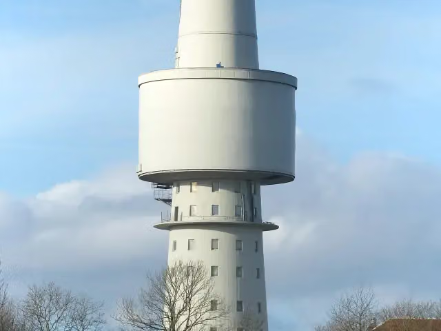 OceantowerObservation tower · 1.8 km from the route
- 2
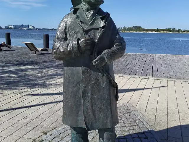 Fischer StuebenMemorial · 4.4 km from the route
- 3
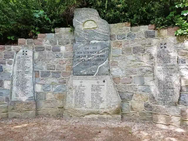 KriegerdenkmalMemorial · 120 m from the route
- 4
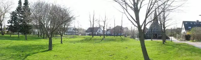 WittenwiewerbargArchaeological site · 164 m from the route
- 5
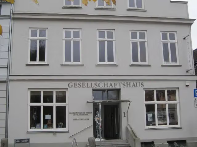 Seebadmuseum TravemündeMuseum · 196 m from the route
- 6
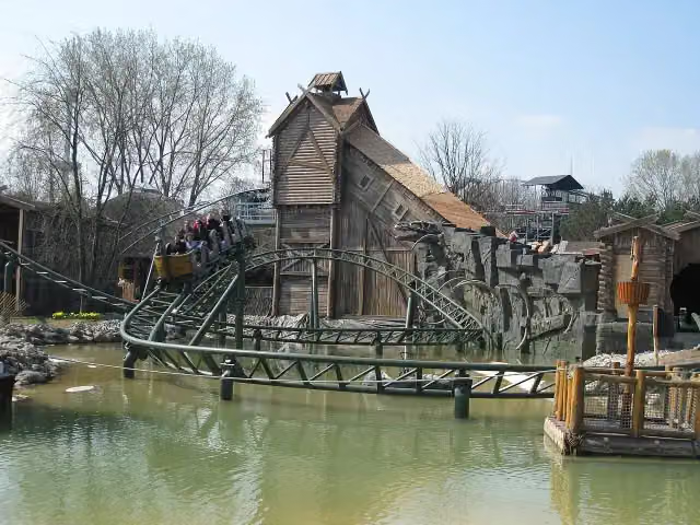 Schlange von MidgardAttraction · 264 m from the route
- 7
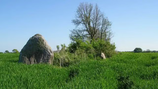 Langbett GroßenbrodeArchaeological site · 597 m from the route
- 8
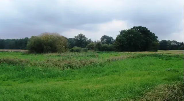 SnykrodeArchaeological site · 713 m from the route
- 9
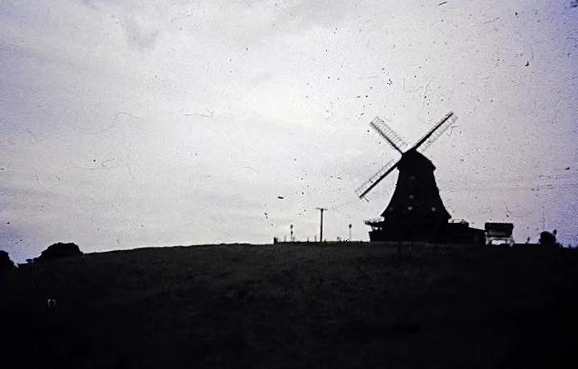 Brodauer MühleRuins · 2.3 km from the route
- 10
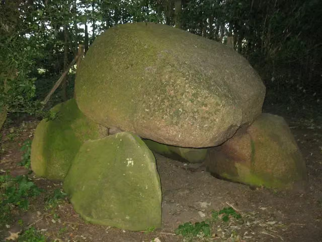 Großsteingrab AlbertsdorfArchaeological site · 2.4 km from the route
- 11
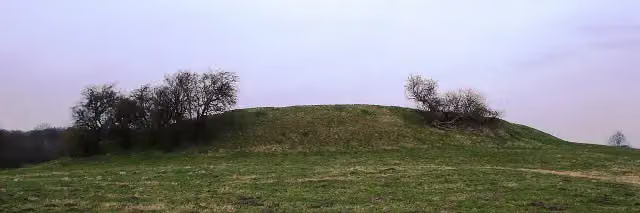 Süseler SchanzeArchaeological site · 2.5 km from the route
- 12
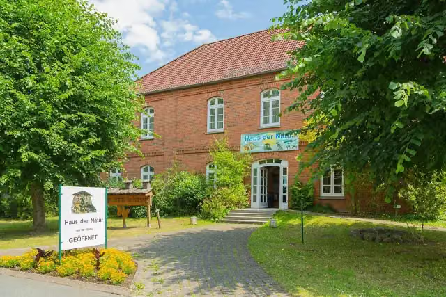 Haus der NaturMuseum · 3.2 km from the route
- 13
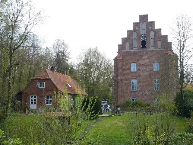 Kloster CismarAttraction · 3.2 km from the route
- 14
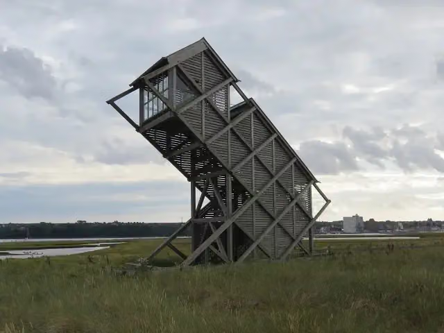 Beobachtungsturm GraswarderObservation tower · 3.3 km from the route
- 15
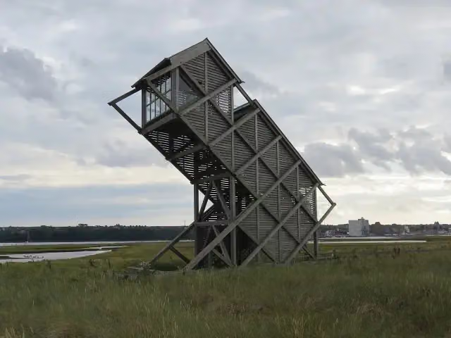 Beobachtungsturm GraswarderObservation tower · 3.3 km from the route
- 16
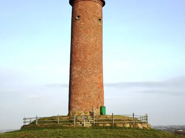 Gömnitzer TurmViewpoint · 3.3 km from the route
- 17
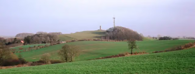 Gömnitzer BergViewpoint · 3.3 km from the route
- 18
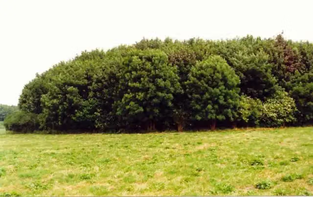 Burgwall FeldhusenAttraction · 3.5 km from the route
- 19
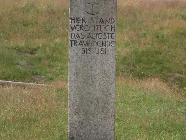 Stülper HukMemorial · 3.9 km from the route
- 20
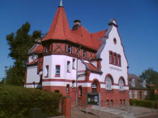 HeimatmuseumMuseum · 4.2 km from the route
- 21
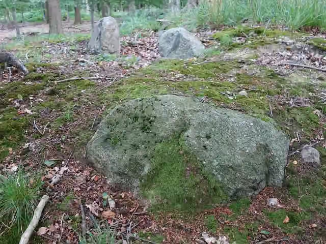 Großsteingrab CismarArchaeological site · 4.2 km from the route
- 22
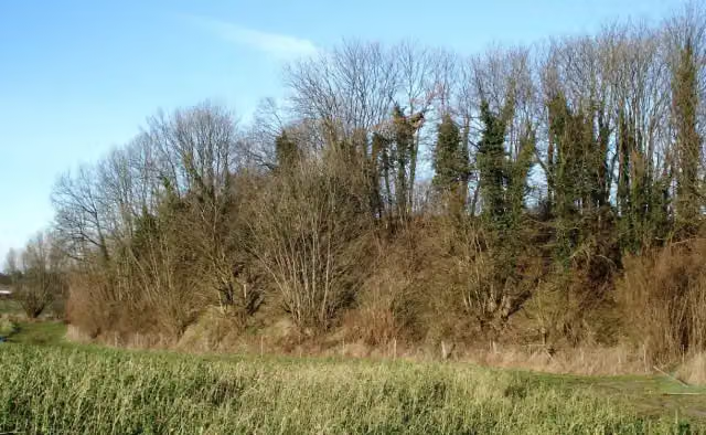 Pöppendorfer RingwallArchaeological site · 4.5 km from the route
- 23
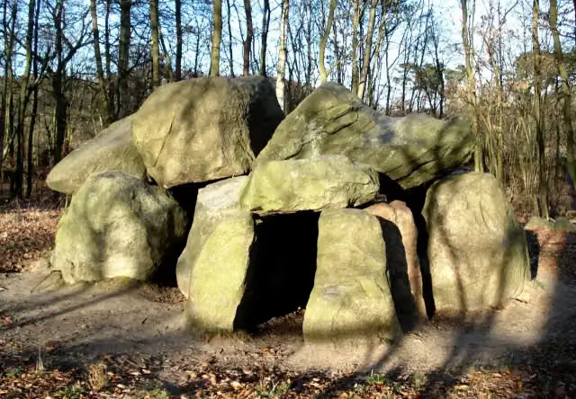 Pöppendorfer GroßsteingrabArchaeological site · 5.1 km from the route
- 24
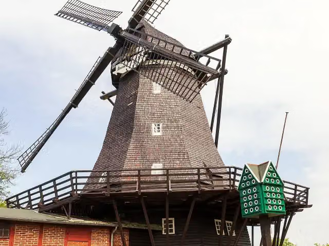 MühlenmuseumMuseum · 6 km from the route
- 25
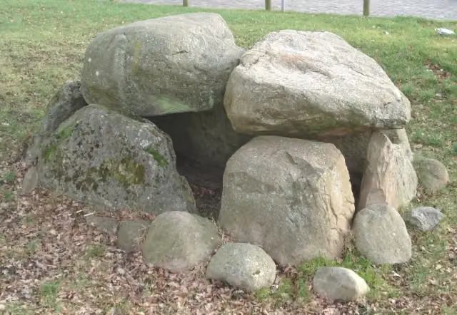 Großsteingrab RatekauArchaeological site · 6.1 km from the route
Explore more
More cycle routes around Dassow
Frequently asked questions
How long is EV10 Ostseeküsten-Radweg - Abschnitt Deutschland SH-Südost?
EV10 Ostseeküsten-Radweg - Abschnitt Deutschland SH-Südost is 97.8 km long. Allow ± 6:30 h of riding: 15 km an hour, without breaks.
Is this route a circular ride?
No, the route starts and ends at different spots.
Where does this route start?
The route starts in Dassow.
How hard is this route?
Hard, with 163 m of climbing.
Are there toilets along this route?
Yes, there are 92 public toilets within 100 m of the route. The longest stretch without a toilet is 22.8 km.
Can you fill up with water along this route?
Yes, there are 7 water fountains and refill points within 100 m of the route.
What is there to see along this route?
Along the way you pass Museumsschiff Passat, Gedenkstein für Seebestattungen and Gruppe 47.
Can I download this route as a GPX file?
Yes. Sign in with your Outdoor Pitstop account and choose Download GPX at the top of this page: 10 routes a month for free, unlimited with Pro.
Starting point
More routes from this place
Route data © OpenStreetMap contributors





