 Outdoor Pitstop
Cycle route · Lübeck · Updated on 14 November 2026
Alte Salzstraße cycle route
Alte Salzstraße is a cycle route of 112.7 km from Lübeck. Along the way you'll find 166 benches, 2 water fountains and refill points, 10 public toilets and 6 bike pumps.
i
i
The route step by step
From start to finish, with what you pass along the way and the distance in between.
- 112.7 km
- ± 7:30 h
- ↑ 176 m · ↓ 167 m
- Hard
- From A to B
- Regional route
- Colour of the signs
Start in Lübeck
0 kmAt the start: Willy Brandt - Staatsmann / Emigration oder Flucht and public toilet.
216 m · 6 benches

Seebadmuseum Travemünde
216 mMuseum
239 m
Public toilet
455 m5.6 km · 6 benches
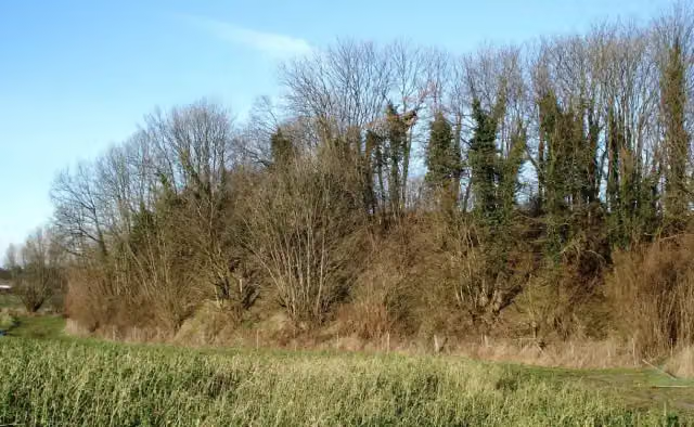
Pöppendorfer Ringwall
6 kmArchaeological site
682 m · bench
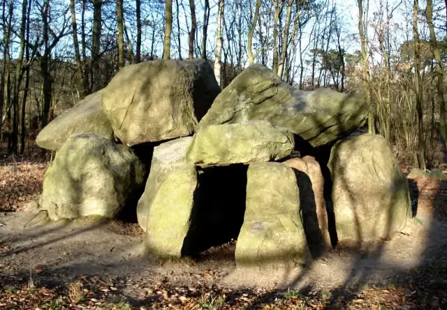
Pöppendorfer Großsteingrab
6.7 kmArchaeological site
6.9 km · bench
Public toilet
13.6 km4 km
Bike pump
17.6 km3.7 km
3 public toilets
21.3 km628 m · 20 benches
Water point and bike pump
21.9 km179 m · 12 benches
Public toilet
22.1 km27.7 km · 42 benches
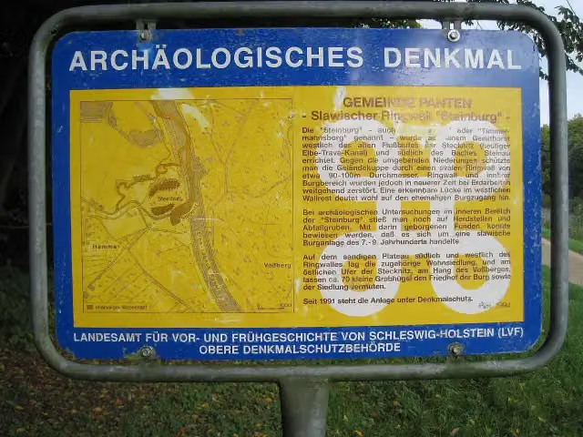
Steinburg
49.8 kmArchaeological site
20.4 km · 12 benches
Bike pump
70.2 km7.8 km · 16 benches
Bike pump
77.9 km11.8 km · 11 benches
Public toilet
89.8 km192 m
Bike pump
90 km19.6 km · 9 benches
Bike pump
109.6 km2.1 km · bench
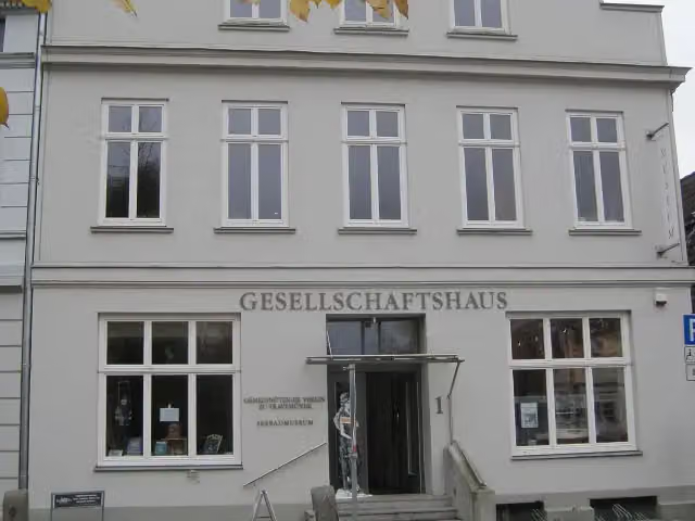
Textilmuseum
111.6 kmPublic toilet
1.1 km · 18 benches
Finish
112.7 kmAt the finish: public toilet and water point.
Longest stretch without a toilet: 67.7 kmBetween 22.1 km and 89.8 km there is no public toilet within 100 m of the route.
The route with the pitstops and sights within 100 m of it.
6 sights along the way
In the order you pass them. With the Outdoor Pitstop app you hear their story on the spot.

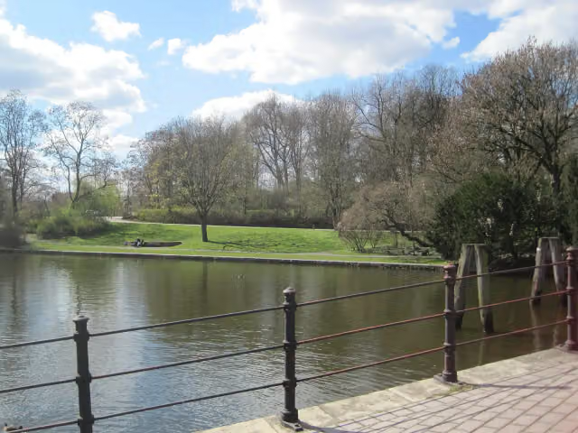
Memorial · after 29 m
i
Photo: Kresspahl · Wikimedia Commons · CC BY-SA 3.0View the photo on Wikimedia CommonsMuseum · after 216 m
i
Photo: Genet · Wikimedia Commons · CC BY-SA 3.0View the photo on Wikimedia CommonsArchaeological site · after 6 km
i
Photo: Genet at de.wikipedia · Wikimedia Commons · CC BY-SA 3.0View the photo on Wikimedia CommonsArchaeological site · after 6.7 km
i
Photo: Kresspahl · Wikimedia Commons · CC BY-SA 3.0View the photo on Wikimedia CommonsArchaeological site · after 49.8 km
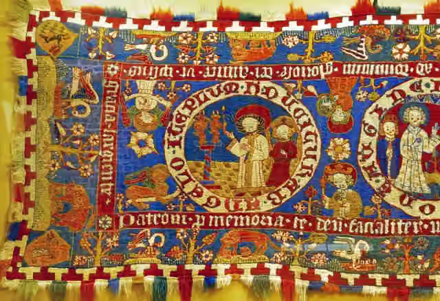
Museum · after 111.6 km
Elevation and terrain
- Up
- ↑ 176 m
- Down
- ↓ 167 m
- Highest point
- 49 m
- Lowest point
- 1 m
Nowhere steeper than 5%.
Elevation from Copernicus GLO-30 (European Union and ESA), smoothed.
produced using Copernicus WorldDEM-30 © DLR e.V. 2010-2014 and © Airbus Defence and Space GmbH 2014-2018 provided under COPERNICUS by the European Union and ESA; all rights reserved
Way types
112.7 km in total- Path: 32.1 km
- Street: 32 km
- Cycle path: 19.2 km
- Road: 14.3 km
- Track: 13.9 km
- Footpath (walk your bike): 675 m
- Busy road: 75 m
- Unknown: 327 m
Surfaces
112.7 km in total- Gravel: 69.4 km
- Asphalt: 32.6 km
- Paved: 8.1 km
- Unpaved: 1.6 km
- Natural: 450 m
- Unknown: 450 m
About the cycle route Alte Salzstraße
Updated on 14 November 2026, with data from OpenStreetMap, the AHN and Copernicus.
Where do you cycle?
Alte Salzstraße is a cycle route of 112.7 km that starts in Lübeck. It does not end where it starts. Along the way you pass Willy Brandt - Staatsmann / Emigration oder Flucht (after 29 m), Seebadmuseum Travemünde (after 216 m) and Pöppendorfer Ringwall (after 6 km).
How hard is the route?
You climb 176 m in total and descend 167 m. Allow ± 7:30 h, without breaks. The level is hard.
What roads do you cycle on?
The longest part is path (32.1 km), street (32 km) and cycle path (19.2 km). Of the surface, 69.4 km gravel and 32.6 km asphalt. For 450 m the surface is not known.
Pitstops along the way
Within 100 metres of the route there are 166 benches, 2 water fountains and refill points, 10 public toilets and 6 bike pumps. You can fill your bottle after 21.9 km and at the finish. The longest stretch without a toilet is 67.7 km. The Outdoor Pitstop app navigates you there.
The Alte Salzstraße (Old Salt Route) cycle route runs for 113 km from Lüneburg via Lauenburg and Mölln to Lübeck and Travemünde, following the old trade road for salt from Lüneburg. That road was at its most important from the 12th to the 16th century, when the salt went to Lübeck and on around the Baltic. You ride through Büchen, Berkenthin and Krummesse, and in Travemünde you pass the seaside resort museum. Just over 60 per cent is gravel. We know of 10 toilets along the route, but only 2 drinking water points.
Source: Wikipedia (CC BY-SA)
Cycle routes nearby
6- D2 Ostseeküsten-Radweg - Abschnitt SH-SüdostHard · From A to B97.8 km
- EV10 Ostseeküsten-Radweg - Abschnitt Deutschland SH-SüdostHard · From A to B97.8 km
- D2 Ostseeküsten-Radweg - Abschnitt MV-NordwestHard · From A to B130.2 km
- EuroVelo 13 - Iron Curtain Trail - part 4Hard · From A to B155.2 km
- EV10 Ostseeküsten-Radweg - Abschnitt Deutschland MV-NordwestHard · From A to B130.2 km
- EuroVelo 13 - Iron Curtain Trail - part 3Hard · From A to B130.3 km
Sights nearby
Within 10 km of the route, best known first.
- 1
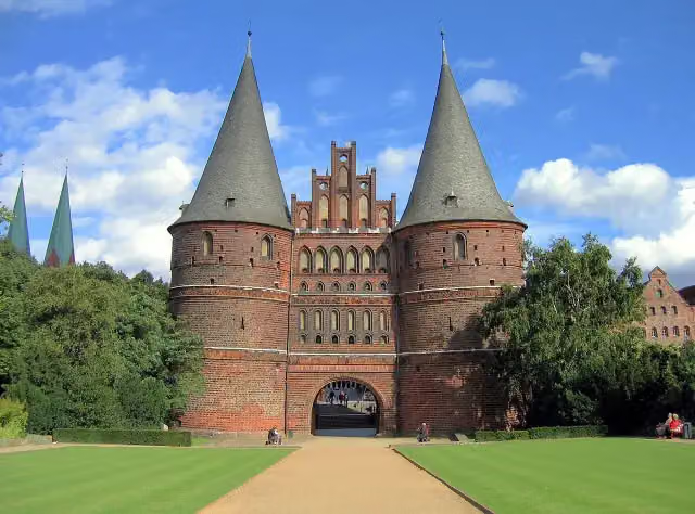 Holsten GateAttraction · 162 m from the route
- 2
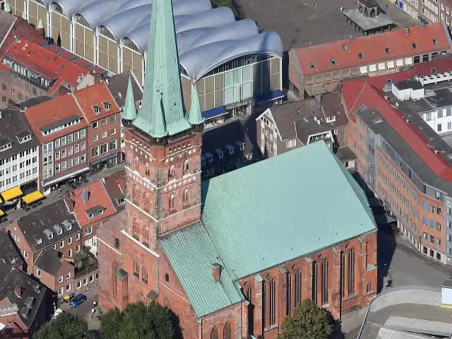 St.-Petri Kultur- und UniversitätskircheAttraction · 384 m from the route
- 3
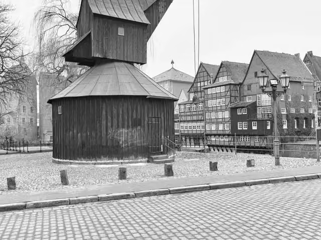 Old CraneAttraction · 361 m from the route
- 4
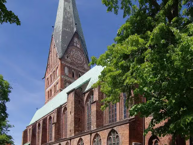 St. John's ChurchAttraction · 481 m from the route
- 5
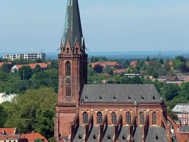 Saint Nicholas ChurchAttraction · 580 m from the route
- 6
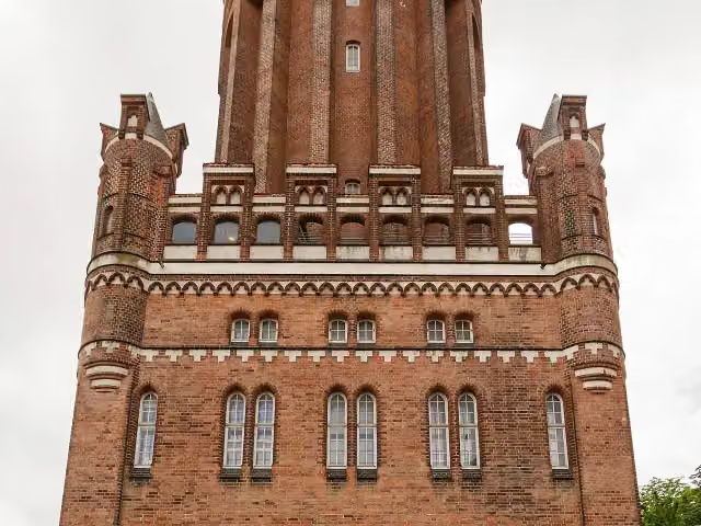 Lüneburg Water TowerAttraction · 551 m from the route
- 7
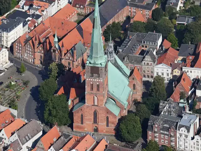 St.-Jakobi-KircheAttraction · 710 m from the route
- 8
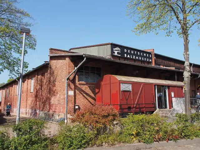 German Salt MuseumMuseum · 1.3 km from the route
- 9
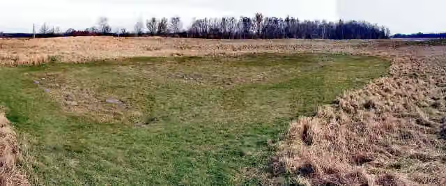 Alt-LübeckMemorial · 105 m from the route
- 10
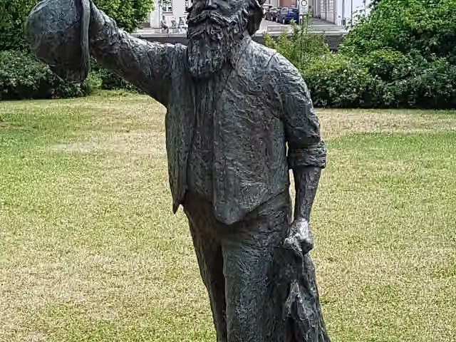 Johannes BrahmsMemorial · 137 m from the route
- 11
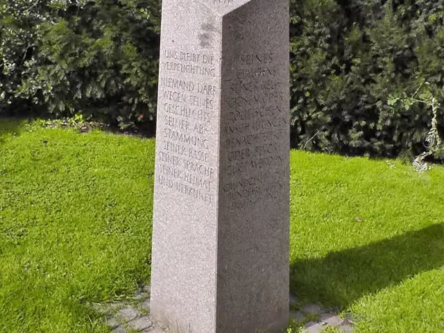 Gedenkstein Befreiung 1945Memorial · 140 m from the route
- 12
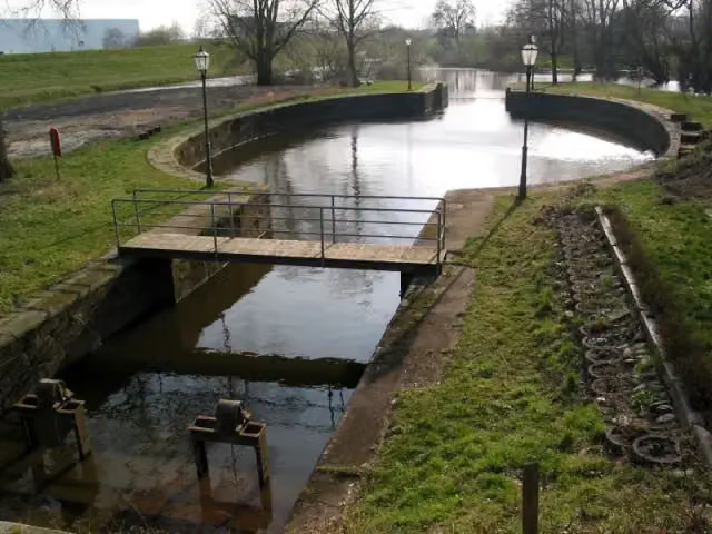 PalmschleuseAttraction · 238 m from the route
- 13
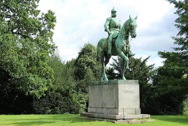 Reiterdenkmal Kaiser Wilhelm I.Memorial · 247 m from the route
- 14
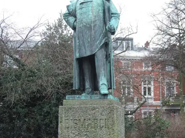 Bismarck-DenkmalMemorial · 263 m from the route
- 15
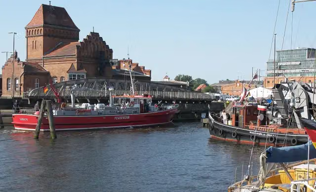 MuseumshafenMuseum · 264 m from the route
- 16
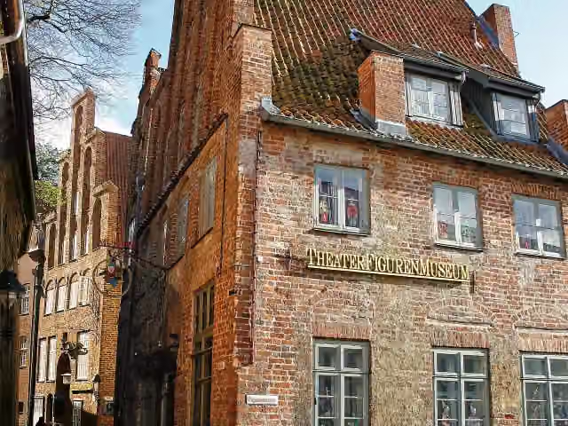 TheaterFigurenMuseumMuseum · 326 m from the route
- 17
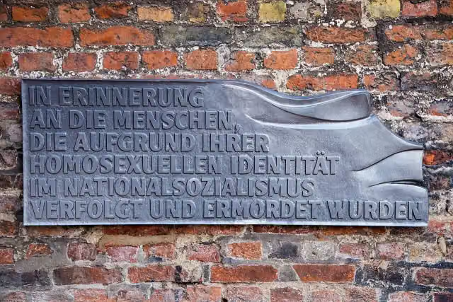 Denkmal für im Nationalsozialismus verfolgte Homosexuelle in LübeckMemorial · 393 m from the route
- 18
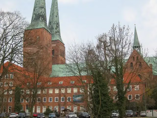 Museum für Natur und UmweltMuseum · 413 m from the route
- 19
 Heinrich-der-Löwe-DenkmalMemorial · 414 m from the route
- 20
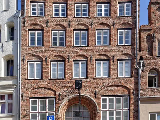 Haus Hansestadt DanzigMuseum · 429 m from the route
- 21
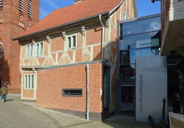 ElbschifffahrtsmuseumMuseum · 447 m from the route
- 22
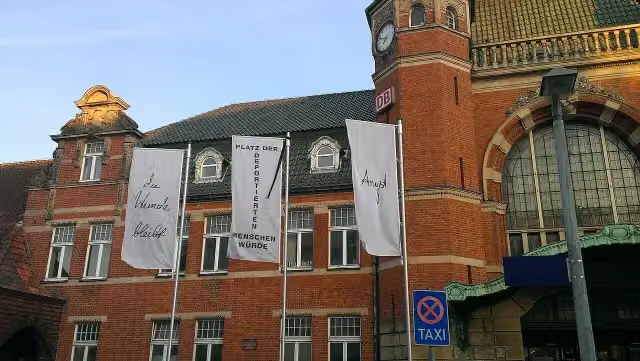 Vor den Augen allerMemorial · 451 m from the route
- 23
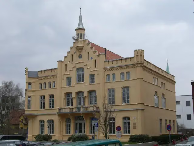 Schloss RantzauCastle · 458 m from the route
- 24
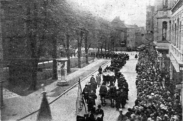 Maria zum StegelRuins · 470 m from the route
- 25
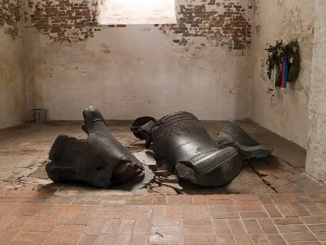 heruntergestürzte GlockenMemorial · 472 m from the route
Explore more
More cycle routes around Lübeck
Frequently asked questions
How long is Alte Salzstraße?
Alte Salzstraße is 112.7 km long. Allow ± 7:30 h of riding: 15 km an hour, without breaks.
Is this route a circular ride?
No, the route starts and ends at different spots.
Where does this route start?
The route starts in Lübeck.
How hard is this route?
Hard, with 176 m of climbing.
Are there toilets along this route?
Yes, there are 10 public toilets within 100 m of the route. The longest stretch without a toilet is 67.7 km.
Can you fill up with water along this route?
Yes, there are 2 water fountains and refill points within 100 m of the route.
What is there to see along this route?
Along the way you pass Willy Brandt - Staatsmann / Emigration oder Flucht, Seebadmuseum Travemünde and Pöppendorfer Ringwall.
Can I download this route as a GPX file?
Yes. Sign in with your Outdoor Pitstop account and choose Download GPX at the top of this page: 10 routes a month for free, unlimited with Pro.
Starting point
More routes from this place
Route data © OpenStreetMap contributors





