 Outdoor Pitstop
Cycle route · Regensburg · Updated on 14 November 2026
Regental-Radweg cycle route
Regental-Radweg is a cycle route of 166.3 km from Regensburg. Along the way you'll find 235 benches, 5 water fountains and refill points, 19 public toilets and 2 bike pumps.
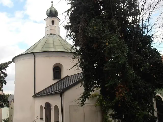
i
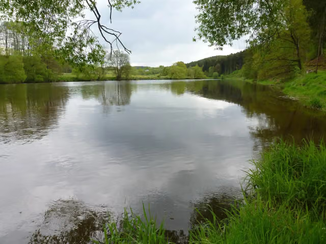
i
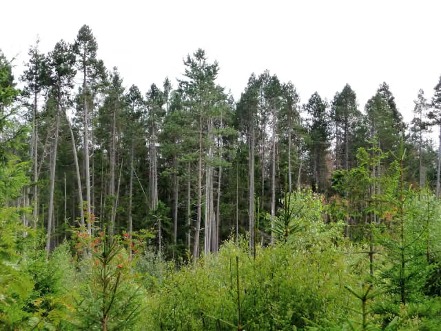
i
The route step by step
From start to finish, with what you pass along the way and the distance in between.
- 166.3 km
- ± 11:05 h
- ↑ 1,291 m · ↓ 904 m
- Hard
- From A to B
- Regional route
Start in Regensburg
0 km7.9 km · 15 benches

Schloss Regendorf
7.9 kmCastle
160 m
Public toilet
8 km4.7 km · 2 benches
Public toilet
12.7 km1.2 km · bench
Schloss Spindlhof
13.9 kmCastle
3 km · 2 benches
Schloss Ramspau
16.9 kmCastle
14.3 km · 9 benches
Burg Hof am Regen
31.2 kmCastle
4.1 km
2 water fountains and refill points
35.4 km267 m · bench
Stadtmuseum
35.6 kmPublic toilet
7.1 km · 14 benches
2 public toilets
42.7 km2.3 km
Bike pump
45 km11.1 km
Rokoko-Kirche
56.2 kmAttraction
2.4 km · 9 benches
Barocker Kirchturm (Campanile) and 2 more
58.6 kmTaufkapelle 7./8. Jhd., Anna-Kapelle and public toilet
7 km · bench
Water point
65.6 km7.3 km · 12 benches
Public toilet
73 km176 m · 3 benches
Public toilet
73.1 km20.6 km · 19 benches
Public toilet
93.7 km14.5 km · 5 benches
Public toilet, water point and bike pump
108.3 km27.7 km · 21 benches
Public toilet
135.9 km188 m
Public toilet
136.1 km1.3 km · 7 benches
Public toilet
137.4 km10.9 km · 44 benches
Public toilet
148.3 km486 m · 6 benches
Kristallglaspyramide
148.8 kmPublic toilet
584 m · 11 benches
Public toilet
149.4 km5.4 km · 6 benches
Schloss Ludwigsthal
154.8 kmCastle
469 m · 2 benches
Public toilet
155.2 km8.7 km · 22 benches
Water point
164 km793 m · 10 benches
Public toilet
164.8 km418 m · 3 benches
Localbahnmuseum Bayerisch Eisenstein
165.2 kmMuseum
470 m · 8 benches
Public toilet
165.6 km
Show the other 1 steps
629 m · 2 benches
Finish
166.3 km
Longest stretch without a toilet: 27.6 kmBetween 108.3 km and 135.9 km there is no public toilet within 100 m of the route.
The route with the pitstops and sights within 100 m of it.
12 sights along the way
In the order you pass them. With the Outdoor Pitstop app you hear their story on the spot. 4 more along the route are on the map.
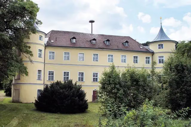
i
Photo: Johanning · Wikimedia Commons · CC BY-SA 4.0View the photo on Wikimedia CommonsCastle · after 7.9 km
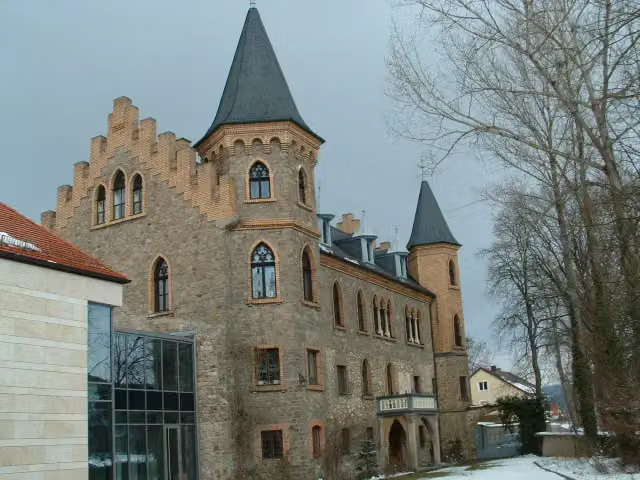
i
Photo: Smardis · Wikimedia Commons · CC BY-SA 3.0View the photo on Wikimedia CommonsCastle · after 13.9 km
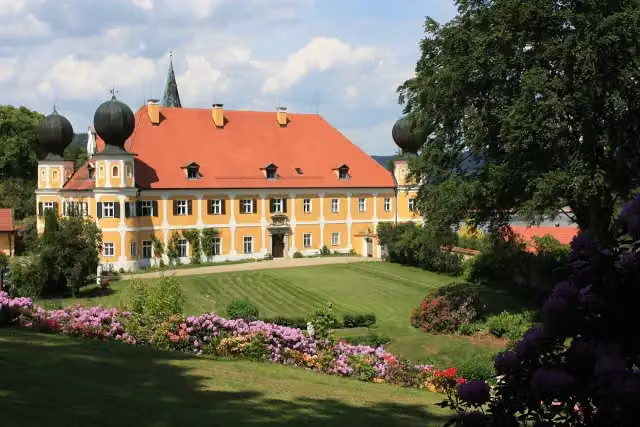
i
Photo: FVL · Wikimedia Commons · CC BY-SA 3.0View the photo on Wikimedia CommonsCastle · after 16.9 km
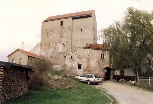
i
Photo: MacElch (Rainer Kunze) · Wikimedia Commons · CC BY-SA 3.0View the photo on Wikimedia CommonsCastle · after 31.2 km

Museum · after 35.6 km
Attraction · after 56.2 km
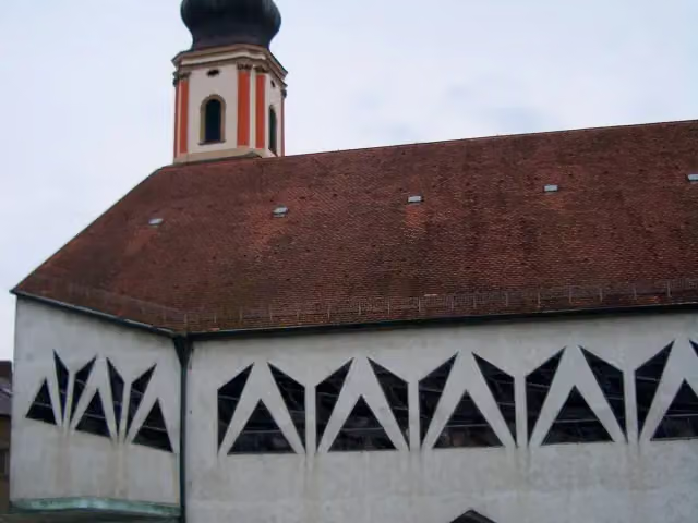
i
Photo: O DM · Wikimedia Commons · CC BY-SA 3.0View the photo on Wikimedia CommonsAttraction · after 58.6 km
i
Photo: O DM · Wikimedia Commons · CC BY-SA 3.0View the photo on Wikimedia CommonsAttraction · after 58.6 km
Elevation and terrain
- Up
- ↑ 1,291 m
- Down
- ↓ 904 m
- Highest point
- 724 m
- Lowest point
- 329 m
- 5-10% slope · 5.8 km
- 1 flight of stairs
Elevation from Copernicus GLO-30 (European Union and ESA), smoothed.
produced using Copernicus WorldDEM-30 © DLR e.V. 2010-2014 and © Airbus Defence and Space GmbH 2014-2018 provided under COPERNICUS by the European Union and ESA; all rights reserved
Way types
166.3 km in total- Path: 57.9 km
- Road: 43.3 km
- Street: 32.7 km
- Track: 19.9 km
- Busy road: 6.1 km
- Cycle path: 4.8 km
- Footpath (walk your bike): 1.2 km
- Steps (carry your bike): 1 flight of stairs
Surfaces
166.3 km in total- Asphalt: 97.7 km
- Gravel: 21.7 km
- Paved: 10.5 km
- Unpaved: 725 m
- Natural: 150 m
- Unknown: 35.2 km
About the cycle route Regental-Radweg
Updated on 14 November 2026, with data from OpenStreetMap, the AHN and Copernicus.
Where do you cycle?
Regental-Radweg is a cycle route of 166.3 km that starts in Regensburg. It does not end where it starts. Along the way you pass Schloss Regendorf (after 7.9 km), Schloss Spindlhof (after 13.9 km) and Schloss Ramspau (after 16.9 km).
How hard is the route?
You climb 1,291 m in total and descend 904 m. There is 1 flight of steps along the way. Allow ± 11:05 h, without breaks. The level is hard.
What roads do you cycle on?
The longest part is path (57.9 km), road (43.3 km) and street (32.7 km). Of the surface, 97.7 km asphalt and 21.7 km gravel. For 35.2 km the surface is not known.
Pitstops along the way
Within 100 metres of the route there are 235 benches, 5 water fountains and refill points, 19 public toilets and 2 bike pumps. You can fill your bottle after 35.4 km, after 65.6 km, after 108.3 km and after 164 km. The longest stretch without a toilet is 27.6 km. The Outdoor Pitstop app navigates you there.
Cycle routes nearby
6- D-Route 6 - Donauroute [Ingolstadt - Regensburg]Hard · From A to B93.8 km
- EuroVelo 6 - Atlantic-Black Sea - part Germany - BavariaHard · From A to B206.8 km
- Deutscher Limes-Radweg 6. Abschnitt Weißenburg - RegensburgHard · From A to B141.6 km
- NiederbayerntourHard · From A to B241.5 km
- D-Route 6 - Donauroute [Regensburg - Passau]Hard · From A to B141.8 km
- Regensburg-Falkenstein-RadwegModerate · From A to B40 km
Sights nearby
Within 10 km of the route, best known first.
- 1
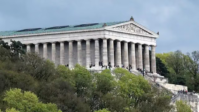 WalhallaAttraction · 8.9 km from the route
- 2
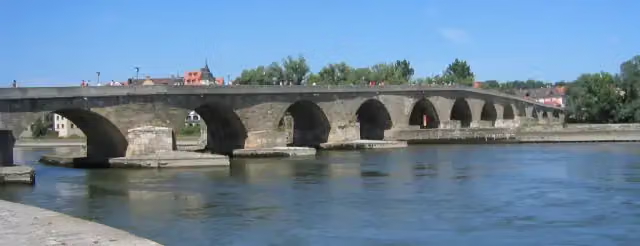 Steinerne BrückeAttraction · 681 m from the route
- 3
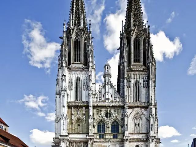 Saint Peter's CathedralAttraction · 978 m from the route
- 4
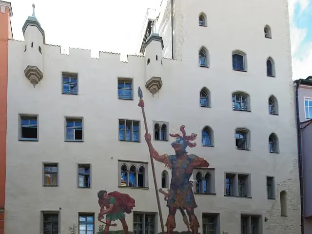 GoliathhausAttraction · 946 m from the route
- 5
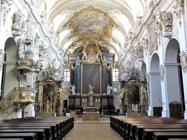 Basilica Sankt EmmeramAttraction · 1.5 km from the route
- 6
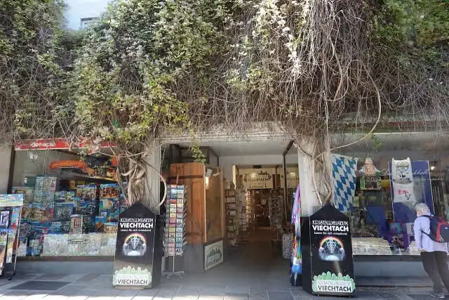 KristallmuseumMuseum · 209 m from the route
- 7
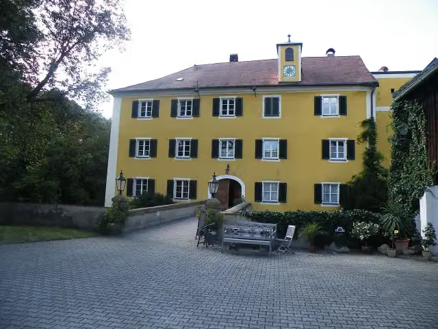 Schloss BodensteinCastle · 544 m from the route
- 8
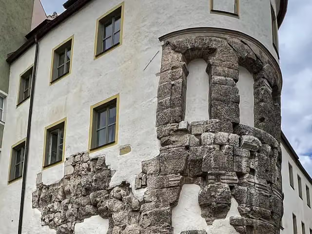 Porta praetoriaAttraction · 902 m from the route
- 9
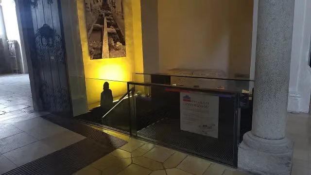 document NiedermünsterAttraction · 937 m from the route
- 10
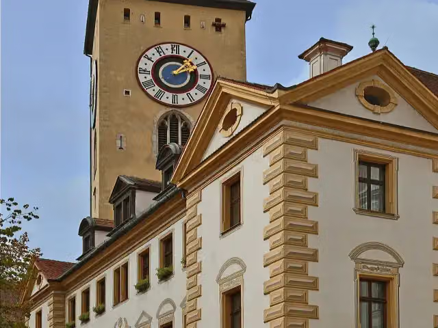 Old Town HallAttraction · 1 km from the route
- 11
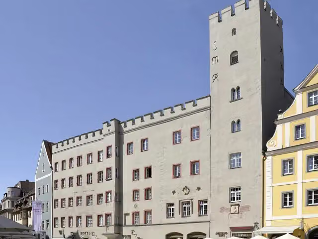 Goldenes KreuzAttraction · 1.1 km from the route
- 12
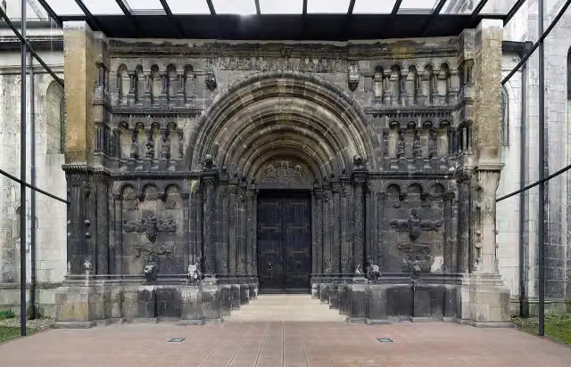 Scots MonasteryAttraction · 1.4 km from the route
- 13
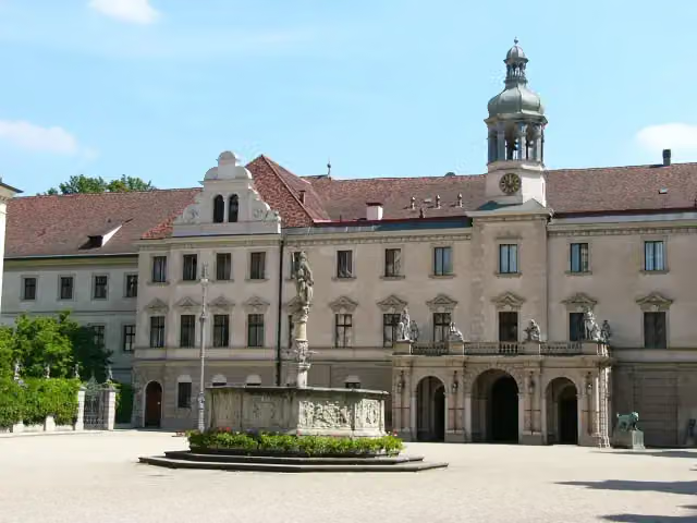 Schloss St. EmmeramAttraction · 1.6 km from the route
- 14
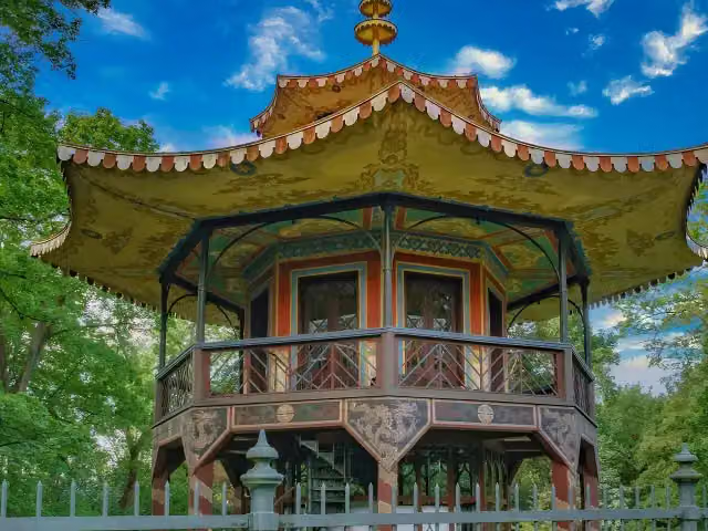 Chinesischer TurmAttraction · 8.2 km from the route
- 15
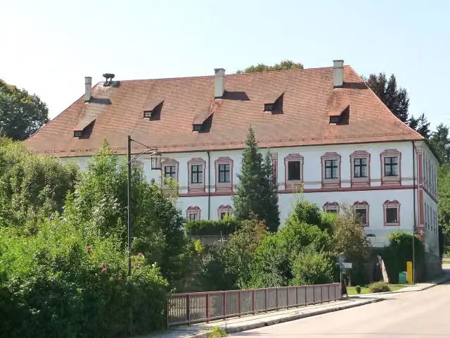 Schloss MiltachCastle · 169 m from the route
- 16
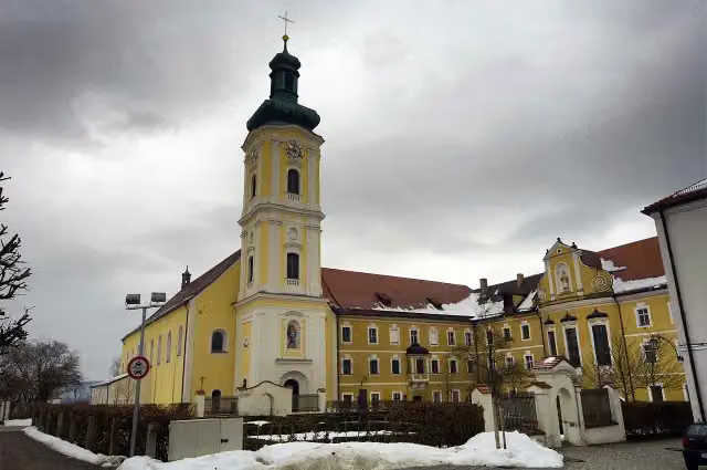 Kreismuseum WalderbachMuseum · 279 m from the route
- 17
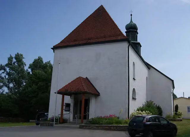 Ehem. Wasserburg mit KircheAttraction · 293 m from the route
- 18
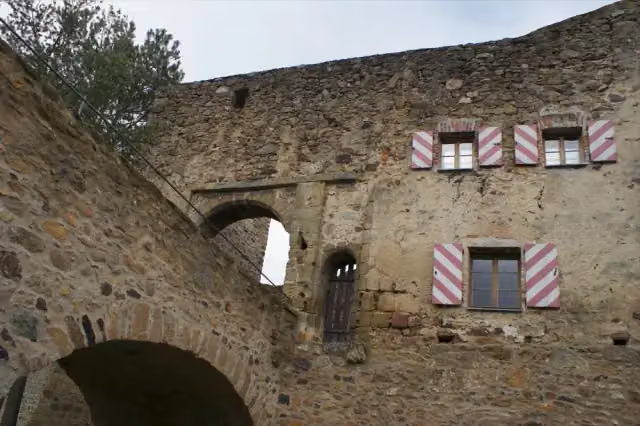 Ruine "Altes Schloss"Attraction · 296 m from the route
- 19
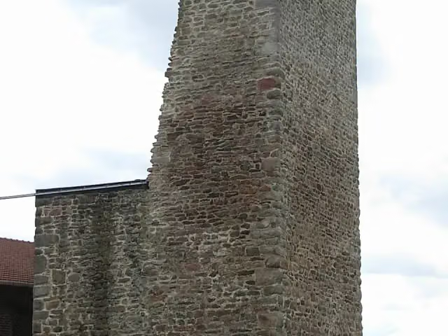 Burgruine LindenRuins · 380 m from the route
- 20
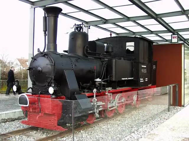 Dampflokomotive der WalhallabahnAttraction · 409 m from the route
- 21
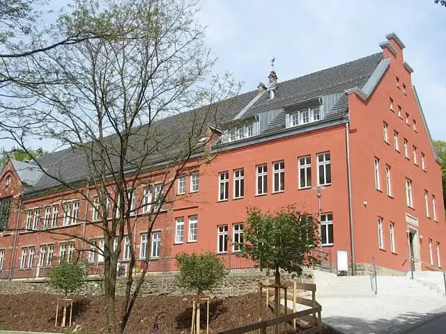 WaldmuseumMuseum · 480 m from the route
- 22
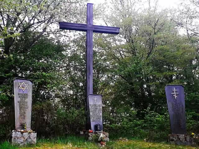 KZ-GedenkstätteMemorial · 535 m from the route
- 23
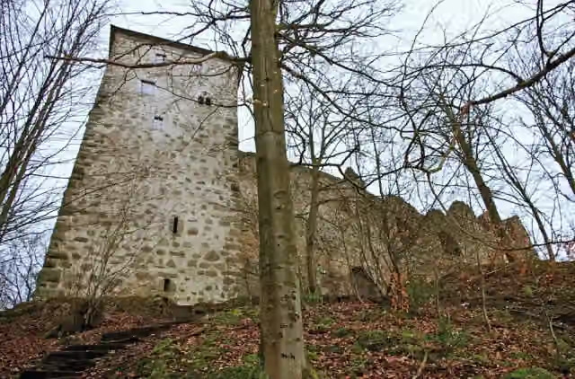 Burgruine StockenfelsAttraction · 582 m from the route
- 24
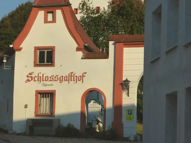 Schloss BlaibachCastle · 637 m from the route
- 25
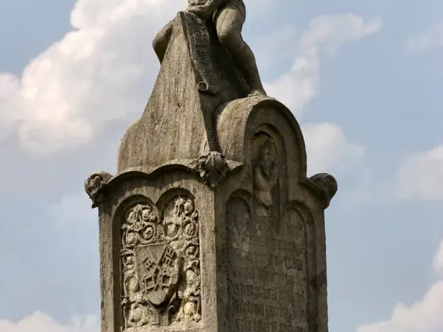 BruckmandlMemorial · 695 m from the route
Explore more
More cycle routes around Regensburg
Frequently asked questions
How long is Regental-Radweg?
Regental-Radweg is 166.3 km long. Allow ± 11:05 h of riding: 15 km an hour, without breaks.
Is this route a circular ride?
No, the route starts and ends at different spots.
Where does this route start?
The route starts in Regensburg.
How hard is this route?
Hard, with 1,291 m of climbing.
Are there toilets along this route?
Yes, there are 19 public toilets within 100 m of the route. The longest stretch without a toilet is 27.6 km.
Can you fill up with water along this route?
Yes, there are 5 water fountains and refill points within 100 m of the route.
What is there to see along this route?
Along the way you pass Schloss Regendorf, Schloss Spindlhof and Schloss Ramspau.
Can I download this route as a GPX file?
Yes. Sign in with your Outdoor Pitstop account and choose Download GPX at the top of this page: 10 routes a month for free, unlimited with Pro.
Starting point
More routes from this place
Route data © OpenStreetMap contributors





