 Outdoor Pitstop
Cycle route · Lindau (Bodensee) · Updated on 14 November 2026
Bodensee-Königssee-Radweg cycle route
Bodensee-Königssee-Radweg is a cycle route of 454.5 km from Lindau (Bodensee). Along the way you'll find 1,419 benches, 57 water fountains and refill points, 88 public toilets, 33 bike pumps and 7 honesty boxes and farm vending machines.
i
i
i
The route step by step
From start to finish, with what you pass along the way and the distance in between.
- 454.5 km
- ± 3:45 h per stage
- ↑ 3,259 m · ↓ 3,008 m
- Hard per stage
- From A to B
- Regional route
Start in Lindau (Bodensee)
0 kmAt the start: 2 public toilets.
444 m · 19 benches
Public toilet
444 m965 m · 9 benches
Water point
1.4 km251 m · 2 benches
Public toilet and water point
1.7 km2.3 km · 8 benches
Public toilet
3.9 km2.6 km · 3 benches
Bike pump
6.5 km8.3 km · 10 benches

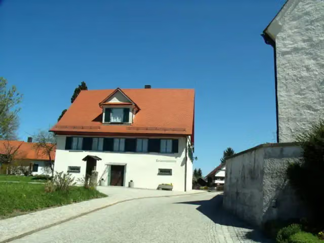
Heimatmuseum Hergensweiler
14.8 kmMuseum
6.8 km · 4 benches
Honesty box
21.6 km711 m
Water point
22.3 km4.5 km · 9 benches
Bike pump
26.8 km4.2 km · 6 benches
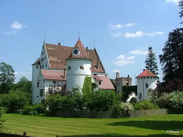
Schloss Syrgenstein
31 kmCastle
6.2 km · 3 benches
Burgstall Zwirkenberg and 1 more
37.2 kmMauerreste der Burg Zwirkenberg
3.6 km · 7 benches
Bike pump
40.9 km2.2 km · 3 benches
Bike pump
43.1 km4.5 km · 8 benches
2 bike pumps
47.6 km2.6 km · 10 benches
Water point
50.2 km10.8 km · 6 benches
Water point
61 km9.7 km · 38 benches
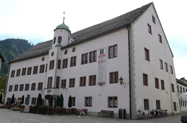
Stadtschloss
70.7 kmPublic toilet and 2 water fountains and refill points
2.9 km · 36 benches
Public toilet
73.5 km6.3 km · 12 benches
Public toilet
79.9 km597 m · bench
Public toilet
80.5 km1.9 km · 2 benches
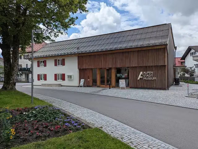
AlpenStadtMuseum Sonthofen
82.4 kmMuseum
179 m · bench
2 water fountains and refill points and bike pump
82.6 km3.3 km · 4 benches
Public toilet
85.9 km836 m
Public toilet
86.7 km15.5 km · 12 benches
Public toilet
102.2 km6.2 km · 8 benches
Public toilet and water point
108.3 km5.9 km · 16 benches
Public toilet and 2 water fountains and refill points
114.2 km443 m · 6 benches
Public toilet
114.7 km8 km · 28 benches
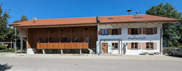
Burgenmuseum Eisenberg
122.7 kmPublic toilet and water point
Show the other 98 steps
2.8 km · 18 benches
Public toilet
125.4 km861 m · bench
Honesty box
126.3 km748 m · 5 benches
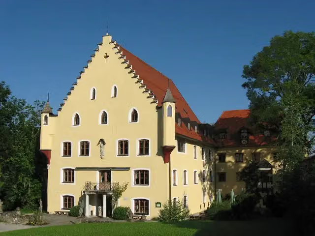
Schloss Hopferau
127 kmCastle
538 m · 4 benches
Public toilet
127.6 km3.4 km · 21 benches
Public toilet and bike pump
131 km680 m · 39 benches
2 public toilets and water point
131.7 km3 km · 10 benches
Public toilet
134.6 km333 m · 5 benches
Public toilet
135 km1.2 km · 17 benches
2 public toilets, 2 water fountains and refill points and bike pump
136.2 km474 m · 20 benches
Public toilet, water point and bike pump
136.7 km3.3 km · 23 benches
2 public toilets
140 km5.4 km · 20 benches
Public toilet
145.4 km197 m
Public toilet
145.6 km151 m
2 public toilets and 2 water fountains and refill points
145.7 km167 m
3 public toilets
145.9 km4.5 km · 9 benches
2 bike pumps
150.4 km3.4 km · 5 benches
Kriegerdenkmal and 2 more
153.8 kmKriegergedächtniskapelle, Dorfmuseum and water point
5.3 km · 10 benches
Bike pump
159.1 km4.4 km · 9 benches
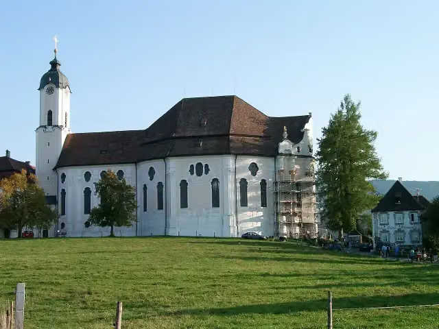
Wieskirche
163.5 km2 public toilets and water point
3.6 km · 11 benches
Honesty box
167.1 km13.8 km · 9 benches
Bike pump and honesty box
180.9 km4.8 km · 6 benches
Public toilet, water point and bike pump
185.7 km158 m
Water point
185.8 km6.3 km · 7 benches
Bike pump
192.1 km7.4 km · 6 benches
Public toilet
199.5 km1.7 km · 9 benches
Krieger Denkmal
201.3 km2 water fountains and refill points
14.3 km · 29 benches
Water point
215.6 km6 km · 12 benches
Bike pump
221.6 km2.3 km · 8 benches
Public toilet
223.9 km6.6 km · 15 benches
Honesty box
230.5 km958 m · 13 benches
Water point and bike pump
231.5 km6.5 km · 21 benches
Public toilet, water point and 2 bike pumps
238 km230 m · 2 benches
Public toilet
238.2 km2.8 km · 11 benches
Public toilet
241 km1.9 km
Public toilet
242.8 km3.5 km · 35 benches
Public toilet and bike pump
246.3 km338 m · 15 benches
Water point and bike pump
246.6 km166 m · 10 benches
Stadtpfarrkirche Mariä Himmelfahrt
246.8 kmWater point
178 m
Stadtmuseum
247 kmPublic toilet and water point
15.2 km · 27 benches
Oberländerdenkmal
262.2 kmMemorial
8.8 km · 12 benches
2 public toilets
271 km345 m · 6 benches
Jagerhaus
271.3 kmMuseum
3.5 km · 5 benches
2 public toilets
274.8 km9.4 km · 12 benches
Public toilet
284.2 km1.1 km · 4 benches
Public toilet
285.3 km1.6 km · 21 benches
Water point
286.9 km761 m · 6 benches
Public toilet
287.7 km8 km · 28 benches
Public toilet
295.7 km4 km · 14 benches
Public toilet, water point and honesty box
299.6 km1.2 km · bench
Water point
300.8 km997 m · bench
Public toilet
301.8 km13.7 km · 28 benches
Bike pump
315.5 km10.2 km · 13 benches
Bike pump
325.7 km2 km · 15 benches
Public toilet
327.7 km1 km · 9 benches
Public toilet
328.7 km169 m · bench
Public toilet
328.9 km3.2 km · 2 benches
Bike pump
332.1 km4.5 km · 8 benches
Water point and bike pump
336.6 km4.5 km · 9 benches
Water point
341.1 km1.4 km
Bike pump
342.5 km4.1 km · 6 benches
Bike pump
346.6 km4.4 km · 3 benches
Bike pump
351 km276 m
Water point
351.3 km984 m · 14 benches
Public toilet and bike pump
352.3 km2.2 km · 26 benches
Public toilet
354.5 km8.7 km · 17 benches
Water point
363.3 km1.5 km · 3 benches
Museum Salz & Moor
364.8 kmPublic toilet
2 km · 5 benches
2 public toilets and water point
366.8 km200 m · bench
Public toilet
367 km3.4 km · 6 benches
2 water fountains and refill points
370.4 km8.6 km · 13 benches
Bike pump
379 km6.8 km · 32 benches
6 public toilets and water point
385.8 km22 km · 71 benches
Public toilet and bike pump
407.8 km258 m · 3 benches
Water point
408.1 km158 m
Honesty box
408.2 km4.9 km · 2 benches
Public toilet
413.1 km1.6 km · 2 benches
Mariensäule
414.7 kmPublic toilet
196 m
Kriegerdenkmal
414.9 kmWater point
6.8 km · 7 benches
Public toilet
421.7 km6.2 km · 8 benches
Public toilet
427.9 km748 m · 12 benches
Public toilet and 2 water fountains and refill points
428.7 km716 m · 25 benches
ReichenhallMuseum
429.4 km3 water fountains and refill points
173 m · bench
Kriegerdenkmal and 1 more
429.5 kmAlte Saline and public toilet
230 m · 6 benches
Public toilet
429.8 km1 km · 12 benches
Burg Gruttenstein
430.8 kmCastle
6.7 km · 41 benches
Water point
437.5 km3.2 km
Public toilet
440.8 km6.5 km · 21 benches
Haus der Berge - Nationalparkzentrum Berchtesgaden
447.2 kmMuseum
802 m · 16 benches
Water point
448 km273 m · 8 benches
Rehmuseum
448.3 km2 public toilets and 3 water fountains and refill points
183 m · 40 benches
Königliches Schloss Berchtesgaden
448.5 kmCastle
716 m · 16 benches
Water point
449.2 km1.1 km · 18 benches
Public toilet
450.3 km3.2 km · 19 benches
2 public toilets
453.5 km264 m · bench
Public toilet
453.8 km334 m · 6 benches
Public toilet and bike pump
454.1 km166 m
Water point
454.3 km192 m · 18 benches
Finish
454.5 kmAt the finish: Prinzregent Luitpold, public toilet and water point.
Longest stretch without a toilet: 66.9 kmBetween 3.9 km and 70.8 km there is no public toilet within 100 m of the route.
The route with the water points, toilets and sights within 100 m of it.
28 sights along the way
In the order you pass them. With the Outdoor Pitstop app you hear their story on the spot. 20 more along the route are on the map.
i
Photo: Richard Mayer · Wikimedia Commons · CC BY-SA 3.0View the photo on Wikimedia CommonsMuseum · after 14.8 km
i
Photo: Richard Mayer · Wikimedia Commons · CC BY 3.0View the photo on Wikimedia CommonsCastle · after 31 km
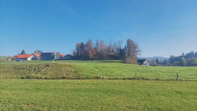
Archaeological site · after 37.2 km

Memorial · after 37.2 km
i
Photo: Rufus46 · Wikimedia Commons · CC BY-SA 3.0View the photo on Wikimedia CommonsCastle · after 70.7 km
i
Photo: Molgreen · Wikimedia Commons · CC BY-SA 4.0View the photo on Wikimedia CommonsMuseum · after 82.4 km
i
Photo: Molgreen · Wikimedia Commons · CC BY-SA 4.0View the photo on Wikimedia CommonsMuseum · after 122.7 km
i
Photo: LoKiLeCh · Wikimedia Commons · CC BY-SA 3.0View the photo on Wikimedia CommonsCastle · after 127 km
Stages (8)
Elevation and terrain
- Up
- ↑ 3,259 m
- Down
- ↓ 3,008 m
- Highest point
- 988 m
- Lowest point
- 400 m
- 5-10% slope · 16.3 km
- 10-15% slope · 453 m
Elevation from Copernicus GLO-30 (European Union and ESA), smoothed.
produced using Copernicus WorldDEM-30 © DLR e.V. 2010-2014 and © Airbus Defence and Space GmbH 2014-2018 provided under COPERNICUS by the European Union and ESA; all rights reserved
Way types
454.5 km in total- Road: 169 km
- Path: 102.5 km
- Street: 83.3 km
- Track: 64.6 km
- Busy road: 20.6 km
- Footpath (walk your bike): 8.3 km
- Cycle path: 4.9 km
Surfaces
454.5 km in total- Asphalt: 392.1 km
- Gravel: 47.9 km
- Paved: 9.9 km
- Unpaved: 1.8 km
- Unknown: 1.4 km
About the cycle route Bodensee-Königssee-Radweg
Updated on 14 November 2026, with data from OpenStreetMap, the AHN and Copernicus.
Where do you cycle?
Bodensee-Königssee-Radweg is a cycle route of 454.5 km that starts in Lindau (Bodensee). It does not end where it starts. You start in Lindau and finish in Königssee. Along the way you pass Heimatmuseum Hergensweiler (after 14.8 km), Schloss Syrgenstein (after 31 km) and Burgstall Zwirkenberg (after 37.2 km).
How hard is the route?
You climb 3,259 m in total and descend 3,008 m. Allow ± 3:45 h per stage, without breaks. Per stage the level is hard.
What roads do you cycle on?
The longest part is road (169 km), path (102.5 km) and street (83.3 km). Of the surface, 392.1 km asphalt and 47.9 km gravel. For 1.4 km the surface is not known.
Pitstops along the way
Within 100 metres of the route there are 1,419 benches, 57 water fountains and refill points, 88 public toilets, 33 bike pumps and 7 honesty boxes and farm vending machines. The longest stretch without a toilet is 66.9 km. The Outdoor Pitstop app navigates you there.
The Bodensee-Königssee-Radweg (Lake Constance-Königssee Cycle Route) is a 455 km long-distance cycle route through the Bavarian Alpine foothills, from Lindau on Lake Constance to the Königssee at Schönau, in eight sections. It crosses the Allgäu via Oberstaufen and Immenstadt, then follows the edge of the Alps past many lakes, from the Forggensee via the Tegernsee and Schliersee to the Chiemsee. On the way are the Wieskirche, the old saltworks in Bad Reichenhall and the Haus der Berge in Berchtesgaden. Nearly 90% is asphalt, over a third on minor roads. We know of 88 toilets, 57 drinking water points and 33 bike pumps.
Source: Wikipedia (CC BY-SA)
Cycle routes nearby
3Sights nearby
Within 10 km of the route, best known first.
- 1
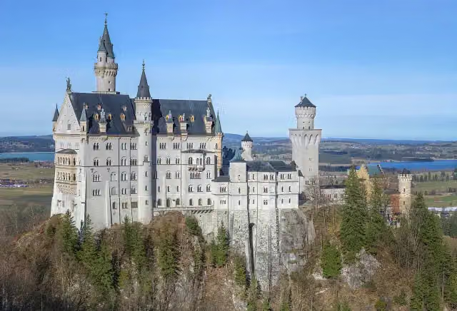 Neuschwanstein CastleAttraction · 682 m from the route
- 2
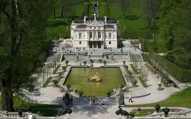 Linderhof PalaceAttraction · 8.4 km from the route
- 3
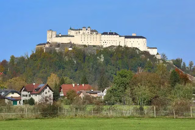 Hohensalzburg FortressAttraction · 9.9 km from the route
- 4
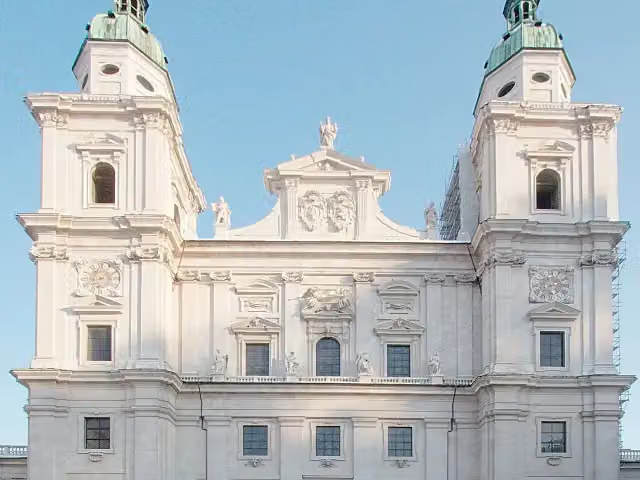 Salzburg CathedralAttraction · 9.9 km from the route
- 5
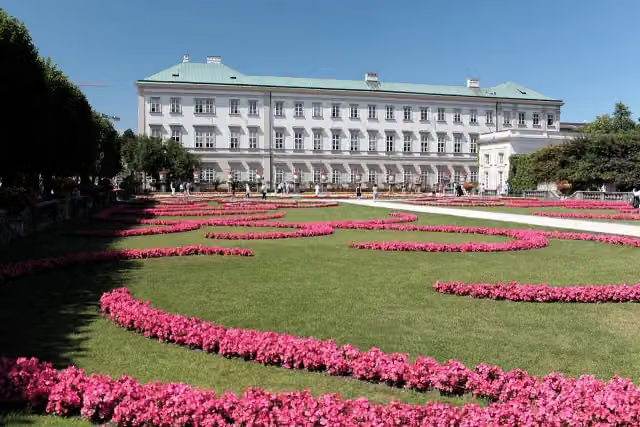 Mirabell PalaceAttraction · 9.9 km from the route
- 6
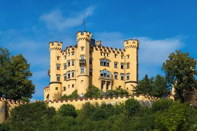 Schloss HohenschwangauAttraction · 128 m from the route
- 7
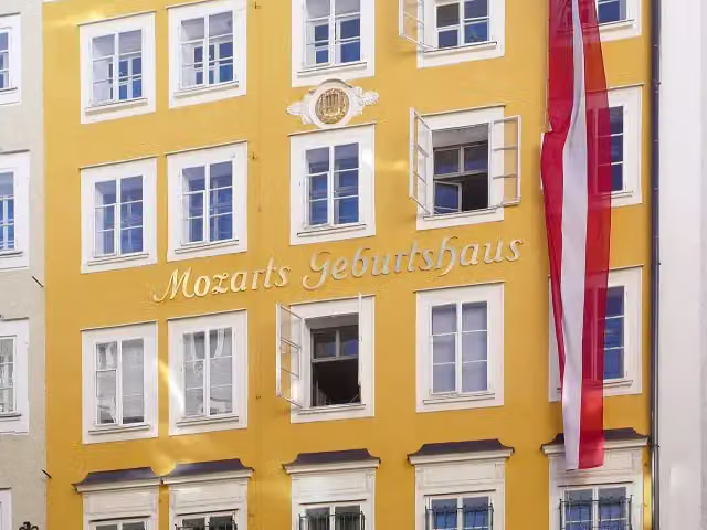 Mozart's BirthplaceMuseum · 9.7 km from the route
- 8
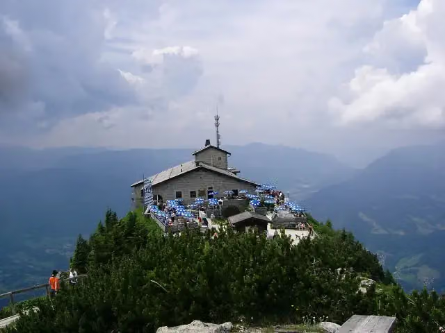 Eagle's NestAttraction · 3.4 km from the route
- 9
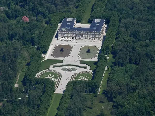 Neues Schloss HerrenchiemseeCastle · 3.1 km from the route
- 10
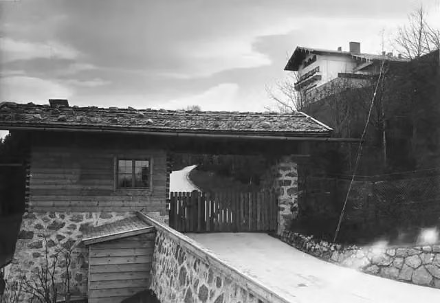 BerghofAttraction · 2.9 km from the route
- 11
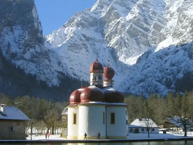 St. BartholomäAttraction · 5 km from the route
- 12
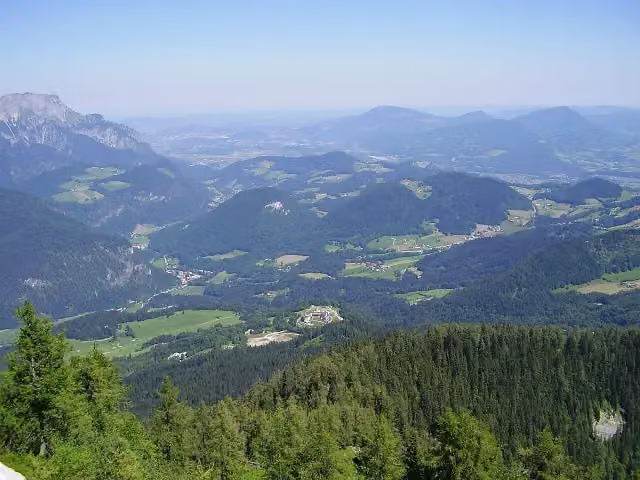 ObersalzbergAttraction · 2.8 km from the route
- 13
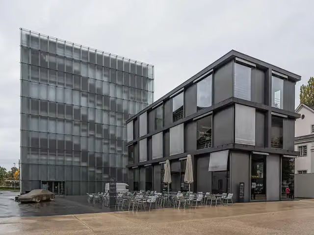 Kunsthaus BregenzMuseum · 4.3 km from the route
- 14
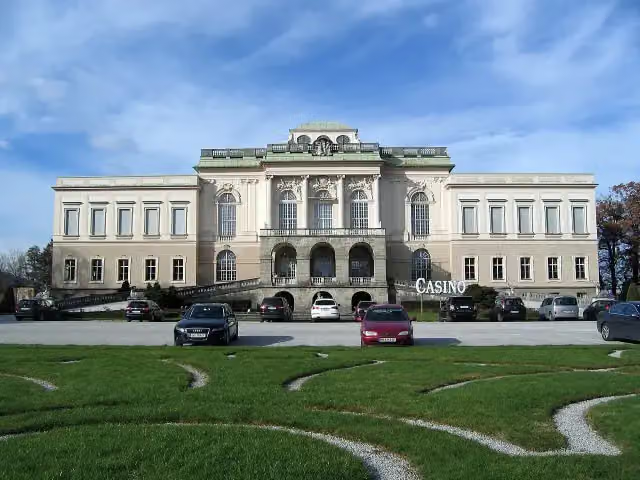 Schloss KleßheimCastle · 7.8 km from the route
- 15
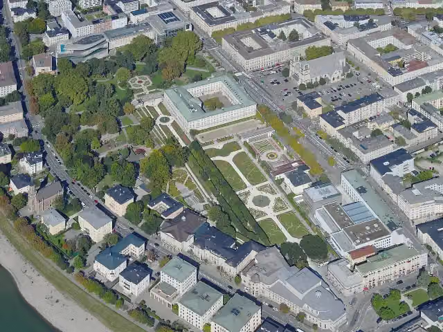 Mirabell GardenAttraction · 9.8 km from the route
- 16
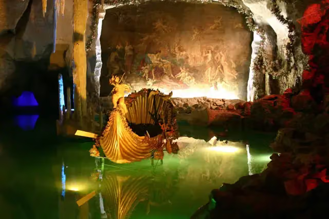 Venus GrottoAttraction · 8.1 km from the route
- 17
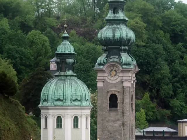 Stiftskirche Sankt PeterAttraction · 9.7 km from the route
- 18
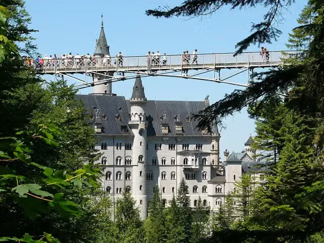 Queen Mary's BridgeAttraction · 688 m from the route
- 19
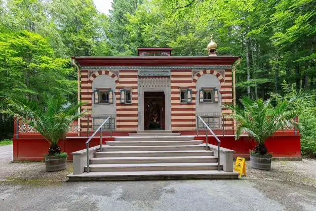 Moroccan HouseAttraction · 8.4 km from the route
- 20
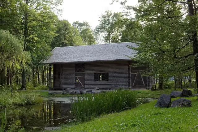 Hunding’s HutAttraction · 8.7 km from the route
- 21
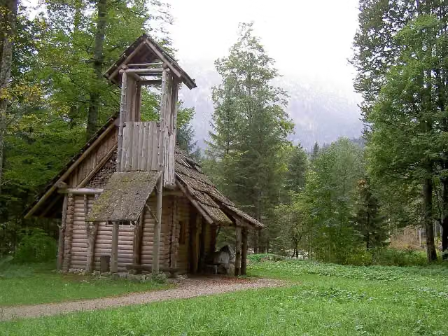 Hermitage of GurnemanzAttraction · 8.7 km from the route
- 22
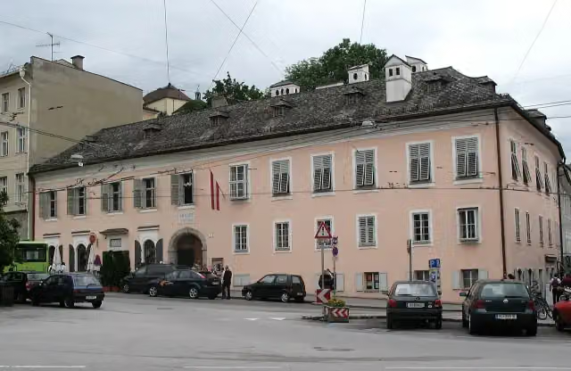 Mozart WohnhausMuseum · 9.9 km from the route
- 23
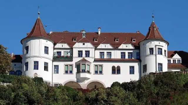 Schloss NeubeuernCastle · 101 m from the route
- 24
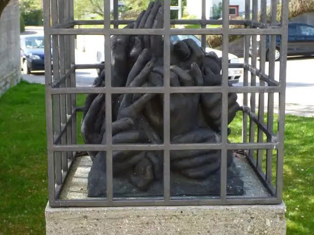 Denkmal für das Außenlager Kottern-Weidach des Konzentrationslager Dachau.Memorial · 8 km from the route
- 25
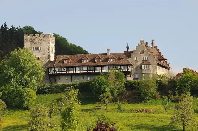 Schloss WolfurtCastle · 8.2 km from the route
Explore more
More cycle routes around Lindau (Bodensee)
More nearby
Frequently asked questions
How long is Bodensee-Königssee-Radweg?
Bodensee-Königssee-Radweg is 454.5 km long, in 8 stages of 56.8 km on average. Allow ± 3:45 h per stage of riding: 15 km an hour, without breaks.
How many stages does this route have?
The route is split into 8 stages of 56.8 km on average, 454.5 km in all. The shortest stage is 42.6 km, the longest 90.2 km.
Is this route a circular ride?
No, the route runs from Lindau to Königssee.
Where does this route start?
The route starts in Lindau (Bodensee).
How hard is this route?
Hard per stage, with 407 m per stage of climbing.
Are there toilets along this route?
Yes, there are 88 public toilets within 100 m of the route. The longest stretch without a toilet is 66.9 km.
Can you fill up with water along this route?
Yes, there are 57 water fountains and refill points within 100 m of the route.
What is there to see along this route?
Along the way you pass Heimatmuseum Hergensweiler, Schloss Syrgenstein and Burgstall Zwirkenberg.
Which stage of this route has the most points of interest?
Stage 8 (57.1 km), with 10 points of interest along the route, such as Mariensäule, Kriegerdenkmal and ReichenhallMuseum.
Can I download this route as a GPX file?
Yes. Sign in with your Outdoor Pitstop account and choose Download GPX at the top of this page: 10 routes a month for free, unlimited with Pro.
Starting point
More routes from this place
Route data © OpenStreetMap contributors





