 Outdoor Pitstop
Cycle route · Brunsbüttel · Updated on 14 November 2026
NOK-Route cycle route
NOK-Route is a cycle route of 279.7 km from Brunsbüttel. Along the way you'll find 422 benches, 1 water point, 14 public toilets and 8 bike pumps.
i
i
i
The route step by step
From start to finish, with what you pass along the way and the distance in between.
- 279.7 km
- ± 6:15 h per stage
- ↑ 464 m · ↓ 450 m
- Hard per stage
- From A to B
- Regional route
- Colour of the signs
Start in Brunsbüttel
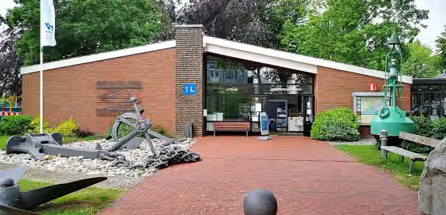
0 kmAt the start: Kanalmuseum ATRIUM, public toilet and bike pump.
18.8 km · 22 benches
Public toilet
18.8 km4.6 km · bench
Public toilet
23.4 km10.2 km · 5 benches
Bike pump
33.6 km11.1 km · 6 benches

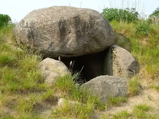
Dolmen von Frestedt
44.6 kmArchaeological site
1.8 km · 4 benches
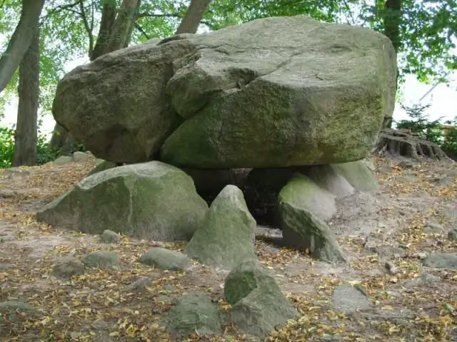
Brutkamp
46.5 kmArchaeological site
334 m · bench
Public toilet
46.8 km16.1 km · 4 benches
Public toilet
62.9 km1.7 km · bench
Bike pump
64.6 km56.9 km · 39 benches
Public toilet
121.4 km755 m · 32 benches
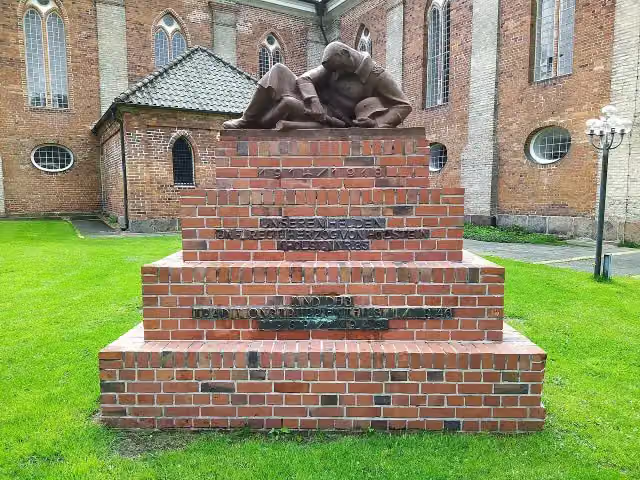
Regimentsdenkmal
122.2 kmMemorial
2.4 km · 7 benches
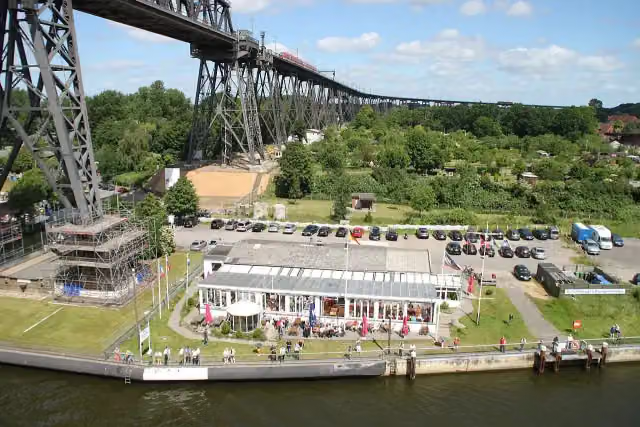
Ships welcome point
124.6 kmPublic toilet
2.3 km · 3 benches
Bike pump
127 km31.4 km · 46 benches
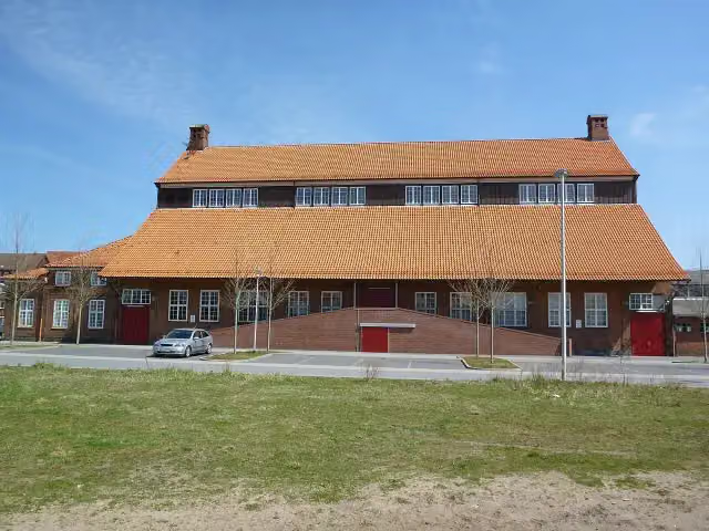
Nordmarkhalle
158.3 kmAttraction
1.9 km · 24 benches
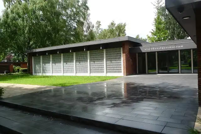
Eisenkunstguss Museum
160.2 kmMuseum
5.7 km · 33 benches
2 public toilets
166 km454 m
Public toilet
166.4 km7.9 km · 6 benches
Public toilet
174.3 km16.6 km · 12 benches
Bike pump
191 km2.9 km · bench
Bike pump
193.9 km18.5 km · 25 benches
Bike pump
212.5 km18.6 km · 57 benches
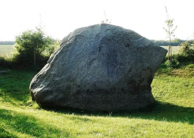
Düvelstein
231.1 kmAttraction
21.6 km · 23 benches
Public toilet
252.7 km9.9 km · 38 benches
Public toilet and bike pump
262.6 km5.4 km · 15 benches
Water point
267.9 km316 m · 3 benches
Heimatmuseum
268.3 kmPublic toilet
1.4 km · bench
Stadtgalerie im Elbeforum
269.6 kmMuseum
10 km · 13 benches
Finish
279.7 km
Longest stretch without a toilet: 78.4 kmBetween 174.3 km and 252.7 km there is no public toilet within 100 m of the route.
The route with the water points, toilets and sights within 100 m of it.
10 sights along the way
In the order you pass them. With the Outdoor Pitstop app you hear their story on the spot. 2 more along the route are on the map.
i
Photo: Peter Oldekop · Wikimedia Commons · CC BY-SA 4.0View the photo on Wikimedia CommonsMuseum · after 6 m
i
Photo: Holger rix · Wikimedia Commons · CC BY-SA 3.0View the photo on Wikimedia CommonsArchaeological site · after 44.6 km
i
Photo: Holger rix · Wikimedia Commons · CC BY-SA 3.0View the photo on Wikimedia CommonsArchaeological site · after 46.5 km
i
Photo: Gerd Fahrenhorst · Wikimedia Commons · CC BY 4.0View the photo on Wikimedia CommonsMemorial · after 122.2 km
i
Photo: Eduard47 · Wikimedia Commons · CC BY-SA 4.0View the photo on Wikimedia CommonsAttraction · after 124.7 km
i
Photo: Wusel007 · Wikimedia Commons · CC BY-SA 3.0View the photo on Wikimedia CommonsAttraction · after 158.3 km
i
Photo: Ulrike Ernemann · Wikimedia Commons · CC BY-SA 4.0View the photo on Wikimedia CommonsMuseum · after 160.2 km
i
Photo: Genet at de.wikipedia · Wikimedia Commons · CC BY-SA 3.0View the photo on Wikimedia CommonsAttraction · after 231.1 km
Stages (3)
Elevation and terrain
- Up
- ↑ 464 m
- Down
- ↓ 450 m
- Highest point
- 50 m
- Lowest point
- -2 m
- 5-10% slope · 175 m
Elevation from Copernicus GLO-30 (European Union and ESA), smoothed.
produced using Copernicus WorldDEM-30 © DLR e.V. 2010-2014 and © Airbus Defence and Space GmbH 2014-2018 provided under COPERNICUS by the European Union and ESA; all rights reserved
Way types
279.7 km in total- Road: 89.2 km
- Track: 88.8 km
- Street: 42.6 km
- Path: 37.3 km
- Busy road: 10.6 km
- Footpath (walk your bike): 7.5 km
- Cycle path: 1.9 km
- Unknown: 1.3 km
Surfaces
279.7 km in total- Asphalt: 164.9 km
- Paved: 70.6 km
- Gravel: 17.5 km
- Unpaved: 3.2 km
- Natural: 150 m
- Unknown: 22.7 km
About the cycle route NOK-Route
Updated on 14 November 2026, with data from OpenStreetMap, the AHN and Copernicus.
Where do you cycle?
NOK-Route is a cycle route of 279.7 km that starts in Brunsbüttel. It does not end where it starts. You start in Brunsbüttel and finish in Kiel. Along the way you pass Kanalmuseum ATRIUM (after 6 m), Dolmen von Frestedt (after 44.6 km) and Brutkamp (after 46.5 km).
How hard is the route?
You climb 464 m in total and descend 450 m. Allow ± 6:15 h per stage, without breaks. Per stage the level is hard.
What roads do you cycle on?
The longest part is road (89.2 km), track (88.8 km) and street (42.6 km). Of the surface, 164.9 km asphalt and 70.6 km paved. For 22.7 km the surface is not known.
Pitstops along the way
Within 100 metres of the route there are 422 benches, 1 water point, 14 public toilets and 8 bike pumps. You can fill your bottle after 267.9 km. The longest stretch without a toilet is 78.4 km. The Outdoor Pitstop app navigates you there.
Cycle routes nearby
6- Dithmarschen-RouteHard · Circular ride126.4 km
- Nordseeküstenroute (Hamburg und Schleswig-Holstein)Hard · From A to B390.5 km
- EuroVelo 12 - North Sea Cycle Route - part GermanyHard · From A to B929.4 km
- Elberadweg ExkursEasy · Circular ride9.6 km
- [D10] Elberadweg rechtselbisch [Abschnitt A]Easy · From A to B24.3 km
- Deutsche Fährstraße (Fahrradroute) - NiedersachsenHard · From A to B101.4 km
Sights nearby
Within 10 km of the route, best known first.
- 1
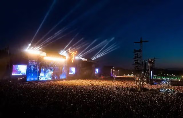 Wacken Open AirAttraction · 1.2 km from the route
- 2
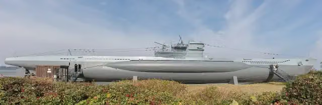 U-995Attraction · 6.8 km from the route
- 3
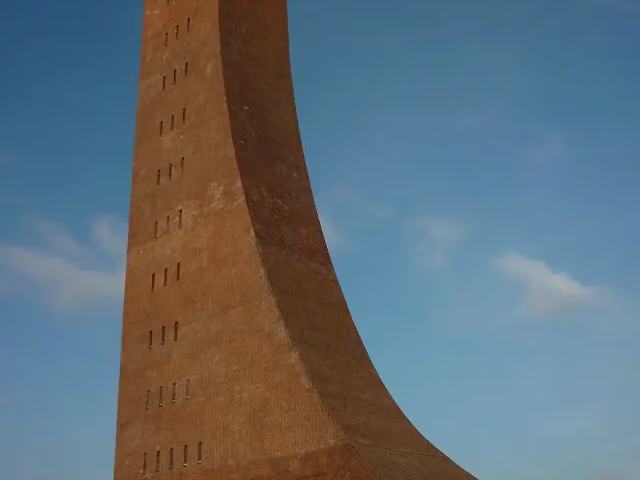 Laboe Naval MemorialMonument · 6.9 km from the route
- 4
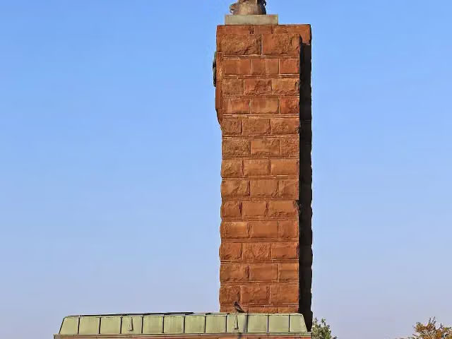 U-Boat Memorial MöltenortMonument · 2.9 km from the route
- 5
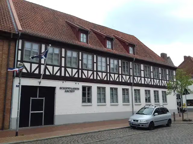 Rendsburger SchifffahrtsarchivMuseum · 104 m from the route
- 6
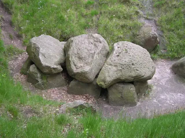 Großsteingrab BunsohArchaeological site · 140 m from the route
- 7
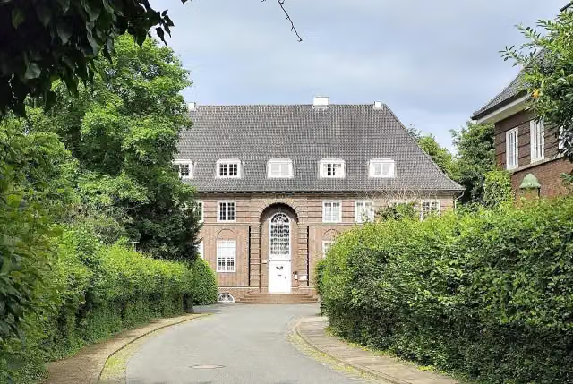 ElektromuseumMuseum · 168 m from the route
- 8
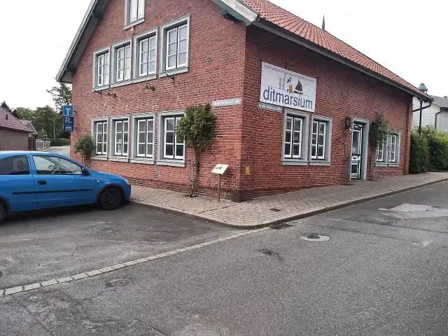 DithmarsiumMuseum · 207 m from the route
- 9
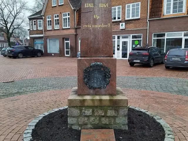 Op ewig ungedeeltMemorial · 262 m from the route
- 10
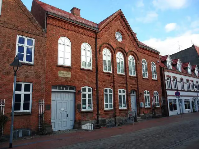 Jüdisches MuseumMuseum · 289 m from the route
- 11
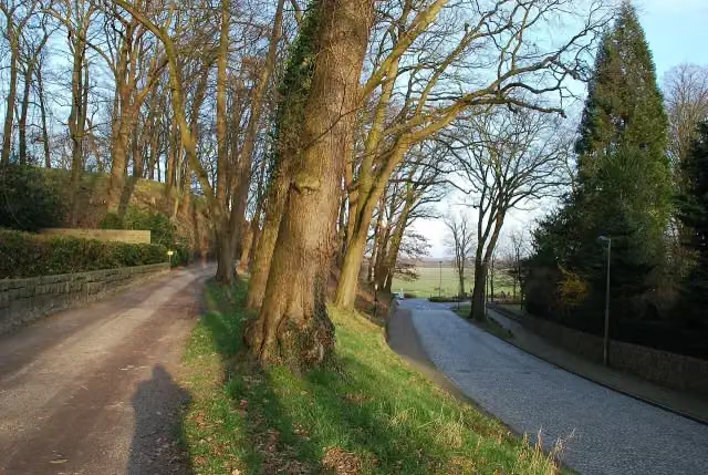 BökelnburgArchaeological site · 405 m from the route
- 12
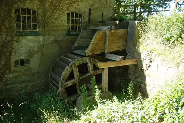 Wassermühle AlbersdorfAttraction · 592 m from the route
- 13
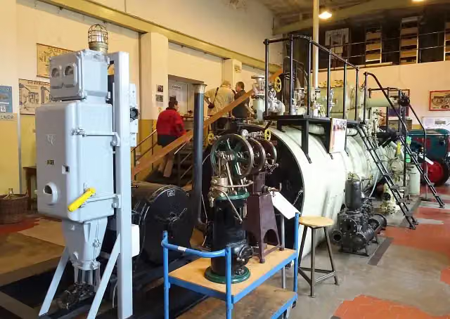 Maschinenmuseum Kiel-WikMuseum · 601 m from the route
- 14
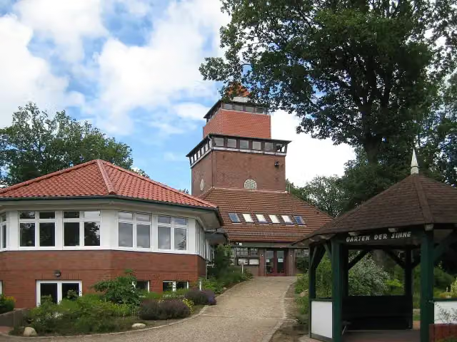 Forest MuseumMuseum · 1.5 km from the route
- 15
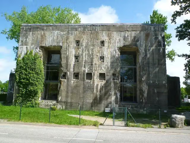 T-750 Kiel I FlandernbunkerMuseum · 1.6 km from the route
- 16
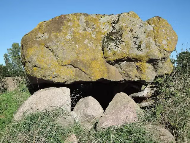 Großsteingrab FelmArchaeological site · 2.1 km from the route
- 17
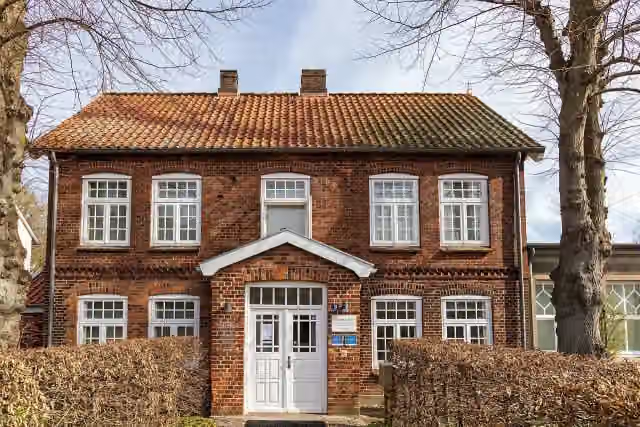 Künstlermuseum HeikendorfMuseum · 3.2 km from the route
- 18
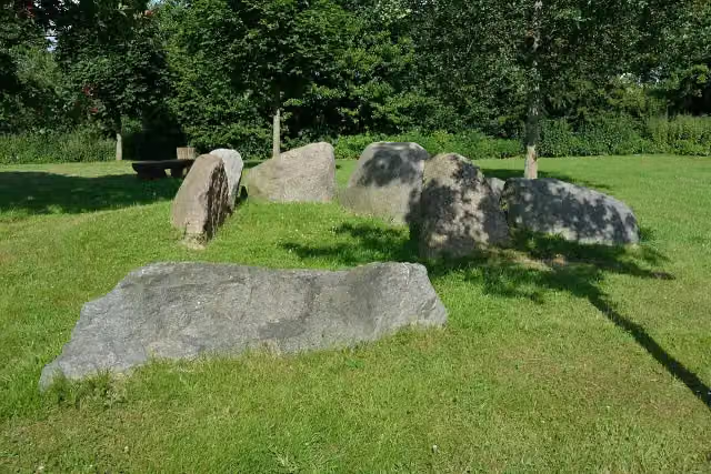 Großsteingrab BovenauArchaeological site · 3.4 km from the route
- 19
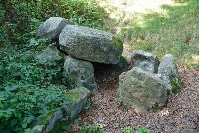 Großsteingrab HademarschenArchaeological site · 3.4 km from the route
- 20
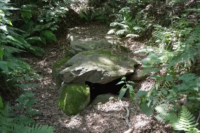 RugenbargArchaeological site · 3.5 km from the route
- 21
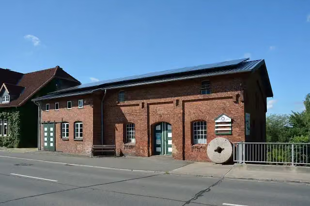 Wassermühle HanerauAttraction · 3.6 km from the route
- 22
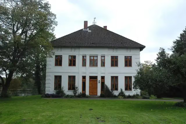 Gut HanerauAttraction · 3.7 km from the route
- 23
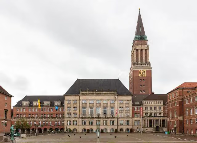 RathausturmViewpoint · 3.9 km from the route
- 24
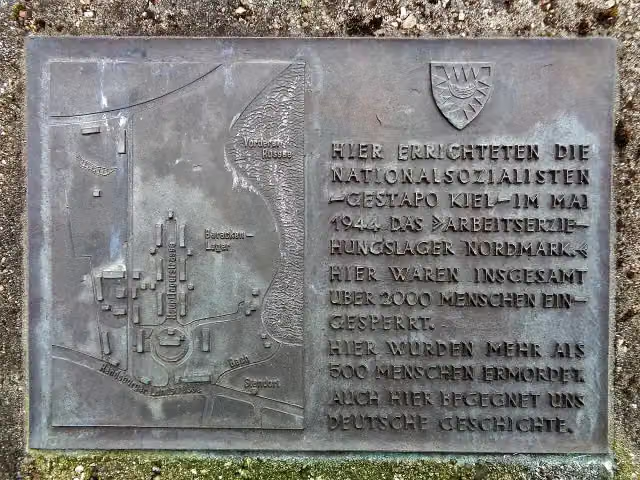 Arbeitserziehungslager NordmarkMemorial · 3.9 km from the route
- 25
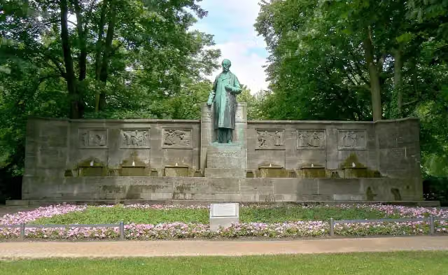 Klaus-Groth-BrunnenMemorial · 4.1 km from the route
Explore more
More cycle routes around Brunsbüttel
Frequently asked questions
How long is NOK-Route?
NOK-Route is 279.7 km long, in 3 parts of 93.2 km on average. Allow ± 6:15 h per part of riding: 15 km an hour, without breaks.
Is this route a circular ride?
No, the route runs from Brunsbüttel to Kiel.
Where does this route start?
The route starts in Brunsbüttel.
How hard is this route?
Hard per stage, with 155 m per stage of climbing.
Are there toilets along this route?
Yes, there are 14 public toilets within 100 m of the route. The longest stretch without a toilet is 78.4 km.
Can you fill up with water along this route?
Yes, there are 1 water point within 100 m of the route.
What is there to see along this route?
Along the way you pass Kanalmuseum ATRIUM, Dolmen von Frestedt and Brutkamp.
Can I download this route as a GPX file?
Yes. Sign in with your Outdoor Pitstop account and choose Download GPX at the top of this page: 10 routes a month for free, unlimited with Pro.
Starting point
More routes from this place
Route data © OpenStreetMap contributors





