 Outdoor Pitstop
Cycle route · Waltrop · Updated on 14 November 2026
Rundkurs Ruhrgebiet cycle route
Rundkurs Ruhrgebiet is a cycle route of 322.4 km from Waltrop that starts and ends at the same spot. Along the way you'll find 1,480 benches, 5 water fountains and refill points, 30 public toilets and 10 bike pumps.
i
i
The route step by step
From start to finish, with what you pass along the way and the distance in between.
- 322.4 km
- ± 21:30 h
- ↑ 734 m · ↓ 745 m
- Hard
- Circular ride
- Regional route
Start in Waltrop
0 km1.9 km · 2 benches
Public toilet
1.9 km2.2 km · 29 benches
Bike pump
4 km5 km · 4 benches
Bike pump
9 km2.2 km · 9 benches
Bike pump
11.2 km8.4 km · 38 benches
Public toilet
19.7 km11.5 km · 14 benches
Water point
31.2 km168 m · 23 benches
Public toilet
31.3 km36.4 km · 63 benches
Bike pump
67.7 km10 km · 64 benches
2 public toilets
77.7 km266 m
Public toilet
77.9 km838 m · 20 benches

Hellwegmuseum and 1 more
78.8 kmBurg Unna
393 m · 15 benches
Water point
79.2 km16 km · 57 benches
Bike pump
95.2 km5.5 km · 17 benches
Haus Ruhr
100.7 kmCastle
3.9 km · 6 benches
Burg Husen
104.6 kmCastle
1.2 km · bench
Public toilet
105.7 km4.1 km · 21 benches
Bike pump
109.8 km1.1 km · 14 benches
Public toilet
110.9 km2.5 km · 52 benches
Public toilet
113.4 km343 m · 15 benches
Zeche Vereinigte Eulalia
113.7 kmAttraction
1.2 km · 23 benches
Water point
115 km508 m · 26 benches
2 public toilets
115.5 km7.8 km · 34 benches
Observation tower
123.3 kmObservation tower
2.3 km · 7 benches
Deutsches Gruben- und Feldbahnmuseum and 1 more
125.6 kmCastle Steinhausen and public toilet
802 m · 6 benches
LWL-Industriemuseum Zeche Nachtigall
126.4 km2 public toilets
1 km · 5 benches
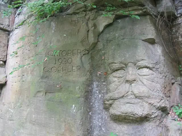
Hindenburgkopf
127.4 kmAttraction
440 m · 3 benches
Public toilet
127.8 km2.9 km · 36 benches
4 public toilets
130.7 km396 m · 13 benches
Water point
131.1 km
Show the other 21 steps
230 m · 3 benches
Public toilet
131.3 km2.2 km · 24 benches
Public toilet
133.5 km215 m · bench
Public toilet and bike pump
133.7 km9.1 km · 43 benches
Public toilet
142.8 km8.3 km · 19 benches
Public toilet
151.1 km3.6 km · 24 benches
Holteyer Hafen
154.7 kmAttraction
9.7 km · 72 benches
Alter Kupferdreher Bahnhof
164.4 kmAttraction
304 m · 9 benches
Public toilet
164.7 km2.9 km · 31 benches
Haus Scheppen
167.6 kmPublic toilet
167 m · 10 benches
Public toilet
167.7 km3.9 km · 36 benches
Schleuse Neukirchen
171.7 kmAttraction
766 m · 56 benches
Public toilet
172.4 km4.2 km · 40 benches
Burg Luttelnau
176.6 kmAttraction
2.1 km · 17 benches
Bike pump
178.7 km11.7 km · 115 benches
Broich Castle and 1 more
190.4 kmMüGa - Mülheimer Landesgartenschau
2.7 km · 71 benches
Aquarius Wassermuseum Mülheim and 1 more
193.1 kmSchloss Styrum and 2 public toilets
13 km · 28 benches
Ruhrorter Tönnekesdrieter and 2 more
206.1 kmHaniel Museum and Schifferbörse
162 m
Museumsschiff "Oscar Huber"
206.2 kmMuseum
19.9 km · 112 benches
Water point and bike pump
226.1 km75.1 km · 124 benches
Bike pump
301.3 km21.1 km · 28 benches
Back at the start
322.4 km
Longest stretch without a toilet: 129.2 kmBetween 193.2 km and 322.4 km there is no public toilet within 100 m of the route.
The route with the pitstops and sights within 100 m of it.
23 sights along the way
In the order you pass them. With the Outdoor Pitstop app you hear their story on the spot. 15 more along the route are on the map.

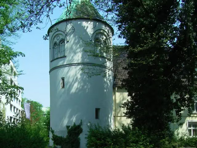
Museum · after 78.8 km
i
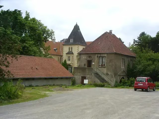
Photo: User Smial on de.wikipedia · Wikimedia Commons · CC BY-SA 2.0 deView the photo on Wikimedia CommonsCastle · after 78.8 km
i
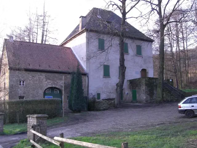
Photo: Pimvantend · Wikimedia Commons · CC BY-SA 3.0View the photo on Wikimedia CommonsCastle · after 100.7 km
i
Photo: Torben Henke · Wikimedia Commons · CC BY-SA 2.5View the photo on Wikimedia CommonsCastle · after 104.6 km
i
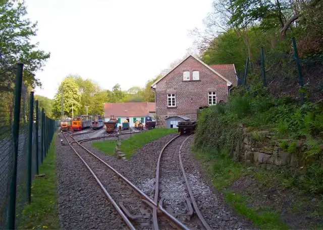
Photo: Th. Schmitz (Wetter) · Wikimedia Commons · CC BY-SA 3.0View the photo on Wikimedia CommonsAttraction · after 113.7 km
Observation tower · after 123.3 km
i
Photo: Hans-Jürgen Wiese · Wikimedia Commons · CC BY-SA 4.0View the photo on Wikimedia CommonsMuseum · after 125.6 km
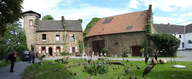
i
Photo: Morty · Wikimedia Commons · CC BY-SA 3.0View the photo on Wikimedia CommonsCastle · after 125.7 km
Elevation and terrain
- Up
- ↑ 734 m
- Down
- ↓ 745 m
- Highest point
- 173 m
- Lowest point
- 21 m
Nowhere steeper than 5%.
Elevation from Copernicus GLO-30 (European Union and ESA), smoothed.
produced using Copernicus WorldDEM-30 © DLR e.V. 2010-2014 and © Airbus Defence and Space GmbH 2014-2018 provided under COPERNICUS by the European Union and ESA; all rights reserved
Way types
322.4 km in total- Path: 127.1 km
- Street: 61.2 km
- Track: 46.9 km
- Road: 44.7 km
- Cycle path: 26.7 km
- Busy road: 10.3 km
- Footpath (walk your bike): 3.5 km
- Unknown: 1.4 km
Surfaces
322.4 km in total- Asphalt: 198.5 km
- Gravel: 83.6 km
- Paved: 14.7 km
- Unpaved: 1.7 km
- Natural: 50 m
- Unknown: 23.2 km
About the cycle route Rundkurs Ruhrgebiet
Updated on 14 November 2026, with data from OpenStreetMap, the AHN and Copernicus.
Where do you cycle?
Rundkurs Ruhrgebiet is a circular ride of 322.4 km from Waltrop: it starts and ends in the same place. Along the way you pass Hellwegmuseum (after 78.8 km), Burg Unna (after 78.8 km) and Haus Ruhr (after 100.7 km).
How hard is the route?
You climb 734 m in total and descend 745 m. Allow ± 21:30 h, without breaks. The level is hard.
What roads do you cycle on?
The longest part is path (127.1 km), street (61.2 km) and track (46.9 km). Of the surface, 198.5 km asphalt and 83.6 km gravel. For 23.2 km the surface is not known.
Pitstops along the way
Within 100 metres of the route there are 1,480 benches, 5 water fountains and refill points, 30 public toilets and 10 bike pumps. You can fill your bottle after 31.2 km, after 79.2 km, after 115 km, after 131.1 km and after 226.2 km. The longest stretch without a toilet is 129.2 km. The Outdoor Pitstop app navigates you there.
Cycle routes nearby
6Sights nearby
Within 10 km of the route, best known first.
- 1
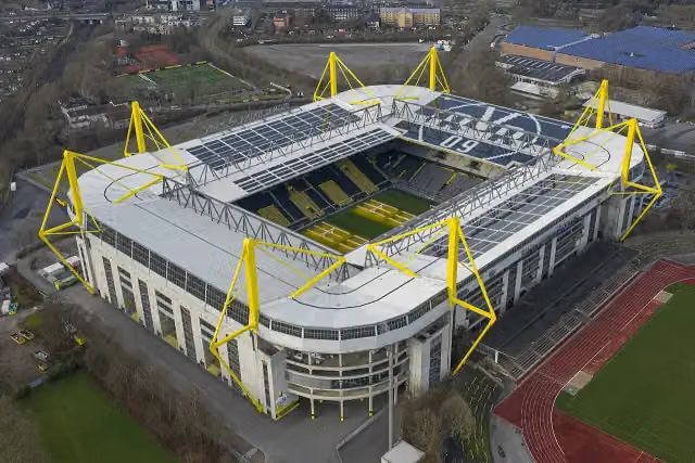 SIGNAL IDUNA PARKAttraction · 8.5 km from the route
- 2
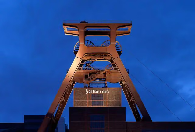 Zollverein Coal Mine Industrial ComplexAttraction · 5.5 km from the route
- 3
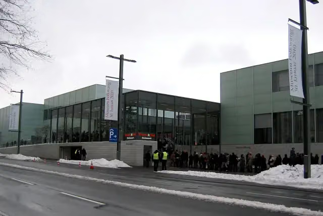 Museum FolkwangMuseum · 3.7 km from the route
- 4
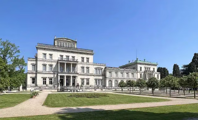 Villa HügelMuseum · 807 m from the route
- 5
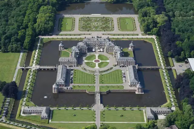 Schloss NordkirchenCastle · 7.1 km from the route
- 6
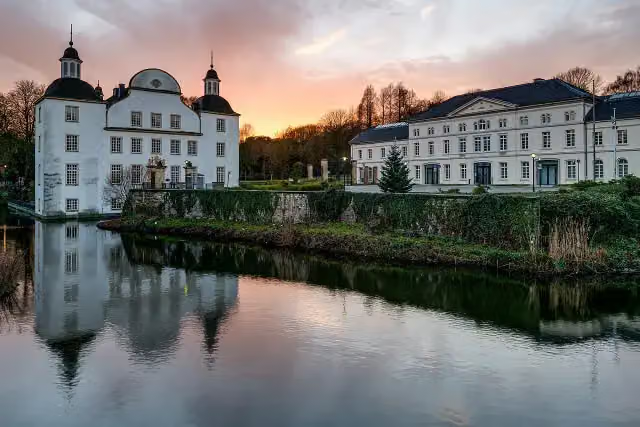 Schloss BorbeckMuseum · 6.3 km from the route
- 7
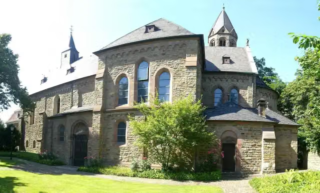 Saarn AbbeyAttraction · 482 m from the route
- 8
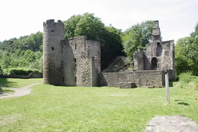 Hardenstein CastleRuins · 195 m from the route
- 9
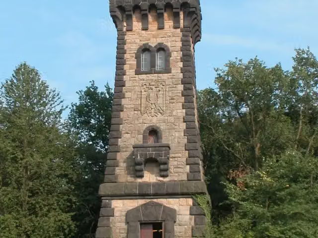 Bismarckturm Mülheim an der RuhrViewpoint · 222 m from the route
- 10
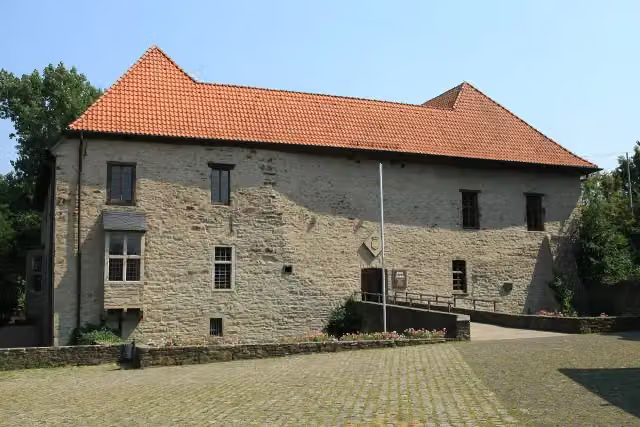 House HerbedeCastle · 413 m from the route
- 11
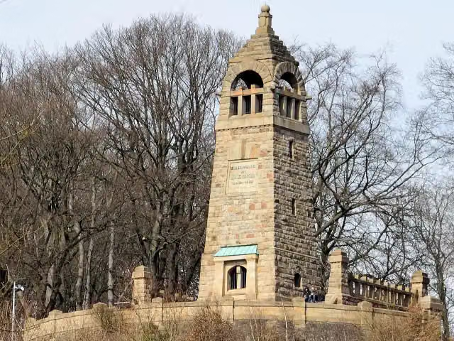 Berger-DenkmalMemorial · 488 m from the route
- 12
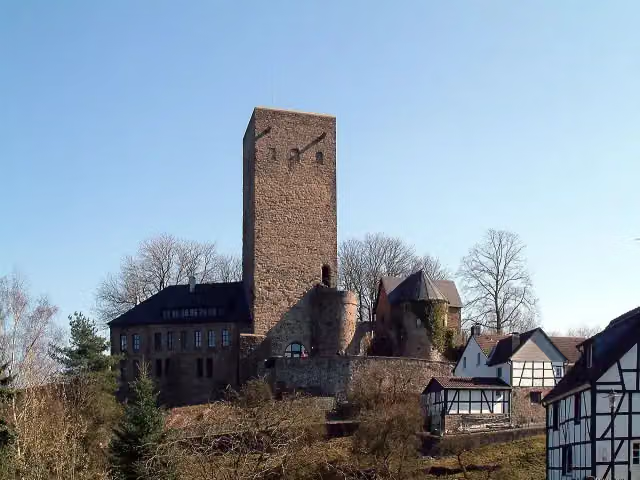 Burg BlankensteinCastle · 584 m from the route
- 13
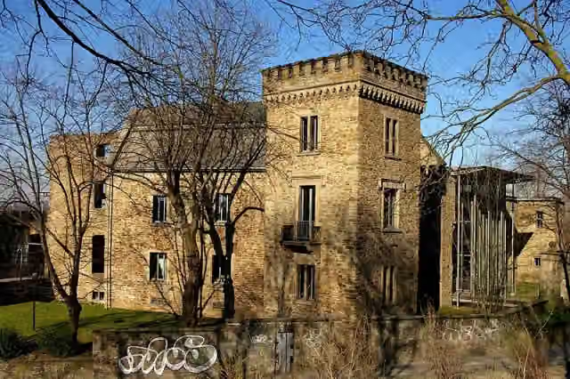 House WittenCastle · 596 m from the route
- 14
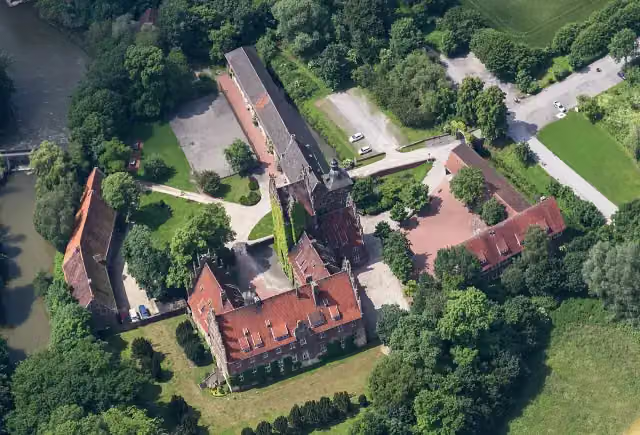 Schloss HeessenCastle · 1.1 km from the route
- 15
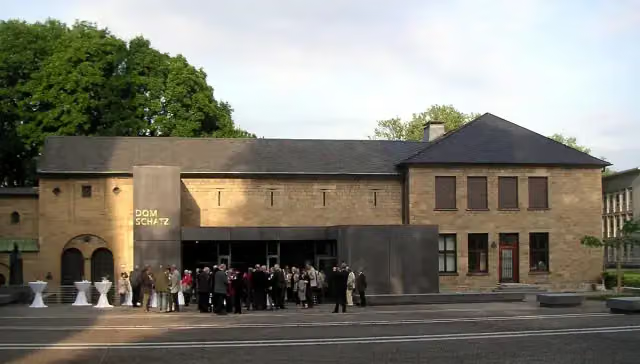 DomschatzkammerMuseum · 3.8 km from the route
- 16
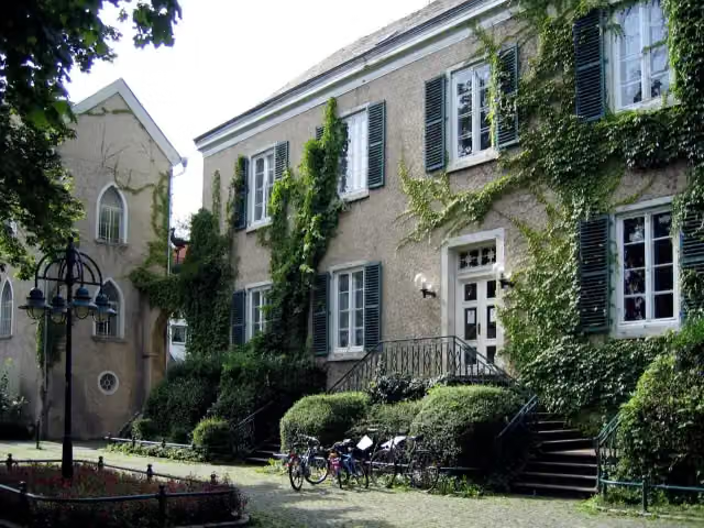 Haus LetmatheMuseum · 7.4 km from the route
- 17
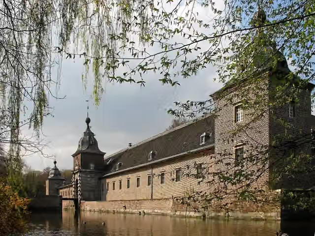 Schloss HeltorfCastle · 9.5 km from the route
- 18
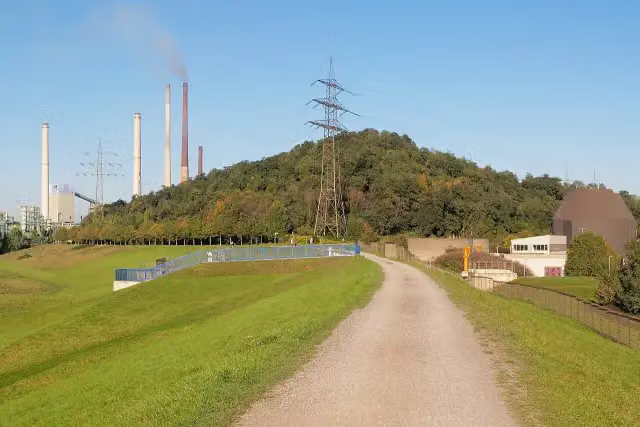 ViewpointViewpoint · 87 m from the route
- 19
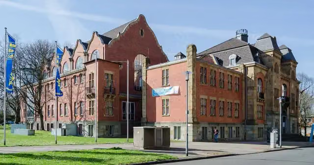 Museum der Deutschen BinnenschifffahrtMuseum · 112 m from the route
- 20
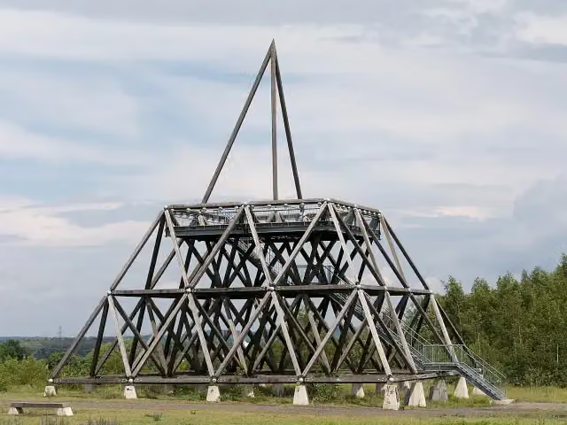 SpurwerkturmViewpoint · 114 m from the route
- 21
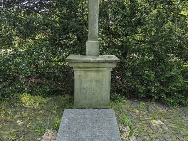 Zur Erinnerung an die Barmherzigen Brüder von Montabaur 1887 - 1937Memorial · 126 m from the route
- 22
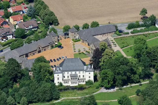 Haus OpherdickeAttraction · 134 m from the route
- 23
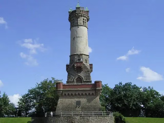 HarkortturmObservation tower · 145 m from the route
- 24
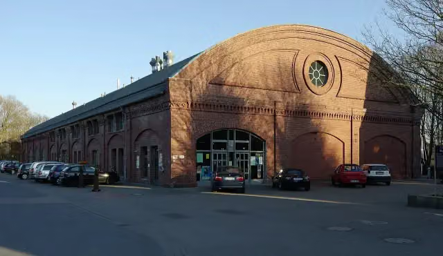 RohrmeistereiAttraction · 155 m from the route
- 25
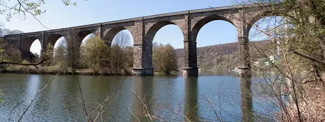 Ruhr-ViaduktAttraction · 159 m from the route
Explore more
More cycle routes around Waltrop
Frequently asked questions
How long is Rundkurs Ruhrgebiet?
Rundkurs Ruhrgebiet is 322.4 km long. Allow ± 21:30 h of riding: 15 km an hour, without breaks.
Is this route a circular ride?
Yes, the route starts and ends at the same spot.
Where does this route start?
The route starts in Waltrop.
How hard is this route?
Hard, with 734 m of climbing.
Are there toilets along this route?
Yes, there are 30 public toilets within 100 m of the route. The longest stretch without a toilet is 129.2 km.
Can you fill up with water along this route?
Yes, there are 5 water fountains and refill points within 100 m of the route.
What is there to see along this route?
Along the way you pass Hellwegmuseum, Burg Unna and Haus Ruhr.
Can I download this route as a GPX file?
Yes. Sign in with your Outdoor Pitstop account and choose Download GPX at the top of this page: 10 routes a month for free, unlimited with Pro.
Starting point
More routes from this place
Route data © OpenStreetMap contributors





